St. Louis/Red River Stream Bank Protection Area
St. Louis/Red River Stream Bank Protection Area
The best running trails in St. Louis/Red River Stream Bank Protection Area
5.0
(3)
143
runners
20
runs
Jogging routes in St. Louis/Red River Stream Bank Protection Area traverse a diverse landscape characterized by steep, wooded ravines and river valleys that flow into the St. Louis and Red Rivers. This area features dense woodlands and distinctive red clay soils, providing a dynamic terrain for runners. The region encompasses 7,000 acres, offering a mix of undeveloped wilderness paths and more established trails.
Best jogging routes in St. Louis/Red River Stream Bank Protection Area
- The most popular jogging route is…
Last updated: July 9, 2026
6
runners
9.82km
01:13
160m
160m
Moderate run. Good fitness required. Mostly paved surfaces. Suitable for all skill levels.
24
runners
61.1km
07:40
1,330m
1,330m
Hard run. Very good fitness required. Mostly paved surfaces. Suitable for all skill levels.

Sign up for free
13
runners
Hard run. Very good fitness required. Mostly paved surfaces. Suitable for all skill levels.
3
runners
6.05km
00:45
200m
200m
Moderate run. Good fitness required. Mostly paved surfaces. Suitable for all skill levels.
11
runners
31.0km
03:53
630m
630m
Hard run. Very good fitness required. Mostly paved surfaces. Suitable for all skill levels.
Get access to more routes and recommendations from other explorers.
Sign up for free
Already have an account?
Our route recommendations are based on thousands of hikes, rides, and runs completed by other people on komoot.
Start today with a free account
Your next adventure awaits.
Login or Signup
Popular around St. Louis/Red River Stream Bank Protection Area

North Country Trail – 4,800 Miles along the edge of northern U.S.
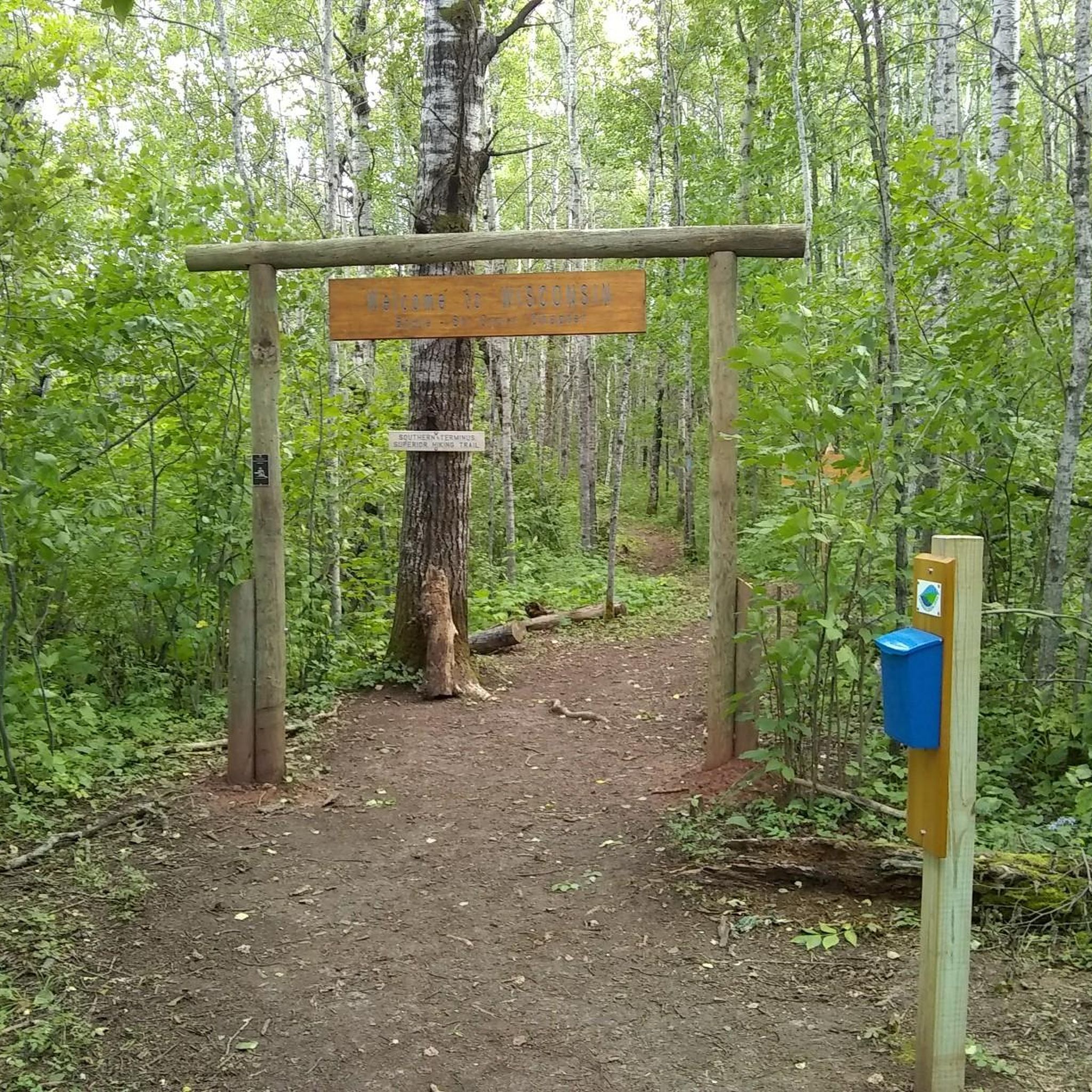
Hiking in St. Louis/Red River Stream Bank Protection Area
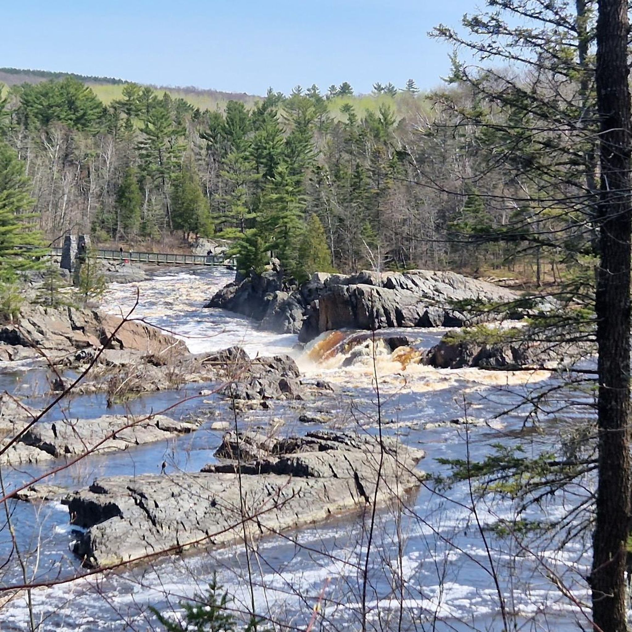
Cycling in St. Louis/Red River Stream Bank Protection Area
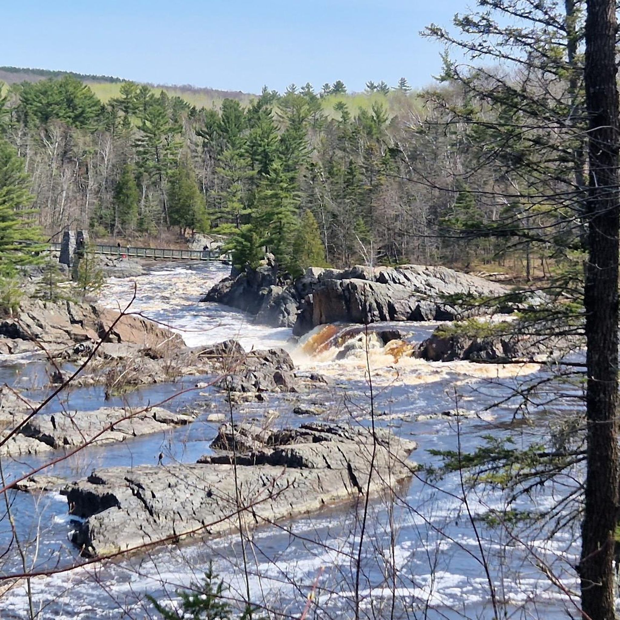
MTB Trails in St. Louis/Red River Stream Bank Protection Area
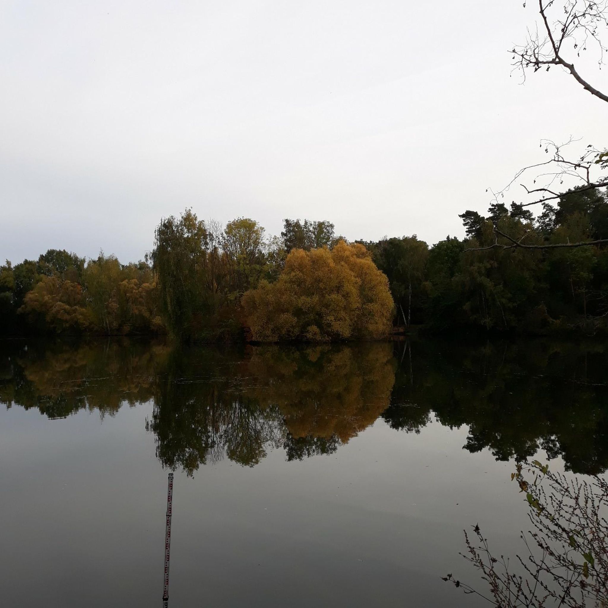
Road Cycling Routes in St. Louis/Red River Stream Bank Protection Area
Other adventures in St. Louis/Red River Stream Bank Protection Area

Tips from the Community

Bob Smith Memorial Bench is at a viewpoint overlooking the St. Louis River Estuary. From here, peer down into the land conservancy project protecting the St. Louis River and the headwaters in Minnesota's Northwoods. The water below flows into Lake Superior and forms a 12,000-acre freshwater estuary.
0
0
The Willard Munger State Trail, spanning between Hinckley and Duluth, offers trails for hiking, biking, in-line skating, snowmobiling, and horseback riding. This scenic trail passes through northern hardwood forests, pine stands, and bog-filled hills. It also follows a historic railroad route that saved lives during the Hinckley and Cloquet fires in the 19th century. Visitors have the opportunity here to spot a variety of wildlife, including whitetail deer, raccoons, foxes, porcupines, and occasionally bobcats or black bears.
0
0

Combined with the neighboring Piedmont Forest on the other side of Haines Road, Brewer Forest helps to create the Brewer and Piedmont Park Trail System. The trails are mostly singletrack with great views and are open to both bikers and foot traffic.
0
0
Twin Ponds are two small man-made lakes that are fed by Buckingham Creek. The DT, or Duluth Traverse Trail, goes right around these shimmering lakes. They are a nice spot in the Enger Park area.
0
0
Combined with the neighboring Piedmont Forest on the other side of Haines Road, Brewer Forest helps to create the Brewer and Piedmont Park Trail System. The trails are mostly singletrack with great views and are open to both bikers and foot traffic.
0
0

For a bird’s-eye view of Duluth and Lake Superior, hike up to Enger Tower, a stone tower perched on Enger Hill. This 80-foot landmark was built in honor of a local philanthropist and has five levels of windows to enjoy the scenery. You can also explore Enger Park, a green oasis with gardens, trails, and a Japanese peace bell.
1
0
Ely’s Peak is a rewarding hike that offers spectacular views of Duluth and beyond. The trail is part of the Superior Hiking Trail, a network of trails that spans the entire length of Minnesota. You can enjoy the scenery of forests, wildflowers, and rock formations along the way. The hike is moderately challenging but suitable for most skill levels. Ely’s Peak is a great way to experience the beauty and history of Duluth.
2
0
Frequently Asked Questions
How many running routes are available in the St. Louis/Red River Stream Bank Protection Area?
There are 18 dedicated running routes in the St. Louis/Red River Stream Bank Protection Area, offering a variety of experiences for joggers of all levels. These routes range from easy to difficult, traversing diverse landscapes.
What kind of terrain can I expect on the jogging trails in this area?
The St. Louis/Red River Stream Bank Protection Area features a dynamic terrain with steep, wooded ravines and river valleys, dense woodlands, and riverside paths. You'll also encounter distinctive red clay soils, adding a unique geological element to your run. The routes offer a mix of undeveloped wilderness paths and more established trails.
Are there any easy or beginner-friendly running routes in the St. Louis/Red River Stream Bank Protection Area?
Yes, there is 1 easy running route available, perfect for beginners or those looking for a more relaxed jog. Additionally, there are 11 moderate routes that offer a good balance of challenge and accessibility. For example, the Running loop from Fond du Lac is a moderate 9.8 km trail that is popular among local runners.
What are some notable natural features or landmarks I might see while running here?
The area is rich in natural beauty, characterized by the St. Louis and Red Rivers, steep wooded ravines, and dense woodlands. You might also encounter the distinctive red clay soils. Some routes, like those around Ely's Peak, offer panoramic views of the St. Louis River valley and even feature an abandoned train tunnel, providing a unique point of interest.
Is the St. Louis/Red River Stream Bank Protection Area suitable for family jogging?
While the area offers diverse terrain, including some challenging routes, there are also easier options that could be suitable for families. The 1 easy route and 11 moderate routes provide flexibility. It's advisable to check the specific route details for distance and elevation to ensure it matches your family's fitness level.
Are dogs allowed on the running trails in the St. Louis/Red River Stream Bank Protection Area?
The St. Louis/Red River Stream Bank Protection Area is part of the Wisconsin DNR lands. Generally, dogs are permitted on trails in Wisconsin state natural areas, but they must be on a leash. Always ensure your dog is under control and follow Leave No Trace principles. For specific regulations, it's best to consult the Wisconsin DNR website.
What is the best time of year to go jogging in this region?
The region offers different experiences throughout the year. Spring and fall provide pleasant temperatures and beautiful scenery, with changing foliage in autumn. Summer is also popular, but be prepared for warmer weather and potential insects. Winter jogging is possible, but trails may be snow-covered or icy, requiring appropriate gear.
Are there any challenging or long-distance running routes for experienced runners?
Absolutely. The area features 6 difficult running routes, perfect for experienced runners seeking a challenge. For instance, the Ely's Peak – Enger Tower loop from Norton Park is a demanding 61.1 km path with significant elevation gain, offering a rigorous workout through diverse landscapes.
What do other runners say about the jogging experience here?
The running routes in the St. Louis/Red River Stream Bank Protection Area are highly rated by the komoot community, with an average score of 5.0 stars from 3 reviews. Runners often praise the diverse terrain, the feeling of immersion in nature, and the challenging options available.
Is there public transport access to the St. Louis/Red River Stream Bank Protection Area for runners?
Access to the St. Louis/Red River Stream Bank Protection Area by land is described as 'extremely limited,' with walk-in access primarily available from the south side of the property. Public transport options directly to the trailheads are generally not available, making personal vehicle access the most common method for reaching these jogging routes.
Where can I find parking for the jogging trails?
Given the 'extremely limited' land access to the core protection area, parking facilities are not widely advertised or developed within the immediate vicinity. For trails like those around Ely's Peak, which are adjacent to or within the broader area, you may find parking at designated trailheads or nearby parks. It's recommended to check specific route starting points for available parking.
Are there any loop running routes in the St. Louis/Red River Stream Bank Protection Area?
Yes, many of the running routes are designed as loops, allowing you to start and end at the same point. Examples include the popular Running loop from Fond du Lac and the challenging Willard Munger State Trail – Trail cut through the rock loop from Norton Park, which is 16.0 km long.
Can I observe wildlife while running in this area?
Yes, the St. Louis/Red River Stream Bank Protection Area is noted for excellent bird and wildlife observation. The dense woodlands, riverside paths, and marshy areas provide critical habitat for various species, making your jog an opportunity to connect with local fauna. Keep an eye out, especially during quieter times of the day.
Most popular routes in St. Louis/Red River Stream Bank Protection Area

Get inspired with the komoot mobile app


Explore more
Browse the best Running Trails & Routes in other regions.
