St. Louis/Red River Stream Bank Protection Area
St. Louis/Red River Stream Bank Protection Area
The best cycling routes in St. Louis/Red River Stream Bank Protection Area
4.9
(15)
262
riders
16
rides
Touring cycling in St. Louis/Red River Stream Bank Protection Area features routes that traverse areas characterized by wooded landscapes and river valleys. The region includes steep, dendritic ravines that funnel water into the St. Louis and Red Rivers, with more level, heavily wooded terrain between them. Red clay soils are characteristic of the Red River area. These routes often utilize established trails in the broader vicinity, offering varied terrain for touring cyclists.
Best touring cycling routes in St. Louis/Red River…
Last updated: June 29, 2026
16
riders
Easy bike ride. Great for any fitness level. Mostly paved surfaces. Suitable for all skill levels.
4.3
(3)
6
riders
56.3km
03:22
350m
350m
Moderate bike ride. Good fitness required. Mostly paved surfaces. Suitable for all skill levels.

Sign up for free
5.0
(1)
41
riders
Moderate bike ride. Good fitness required. Mostly paved surfaces. Suitable for all skill levels.
5.0
(1)
37
riders
Moderate bike ride. Good fitness required. Mostly paved surfaces. Suitable for all skill levels.
12
riders
23.8km
01:27
160m
160m
Moderate bike ride. Good fitness required. Mostly paved surfaces. Suitable for all skill levels.
Get access to more routes and recommendations from other explorers.
Sign up for free
Already have an account?
Our route recommendations are based on thousands of hikes, rides, and runs completed by other people on komoot.
Start today with a free account
Your next adventure awaits.
Login or Signup
Popular around St. Louis/Red River Stream Bank Protection Area

North Country Trail – 4,800 Miles along the edge of northern U.S.
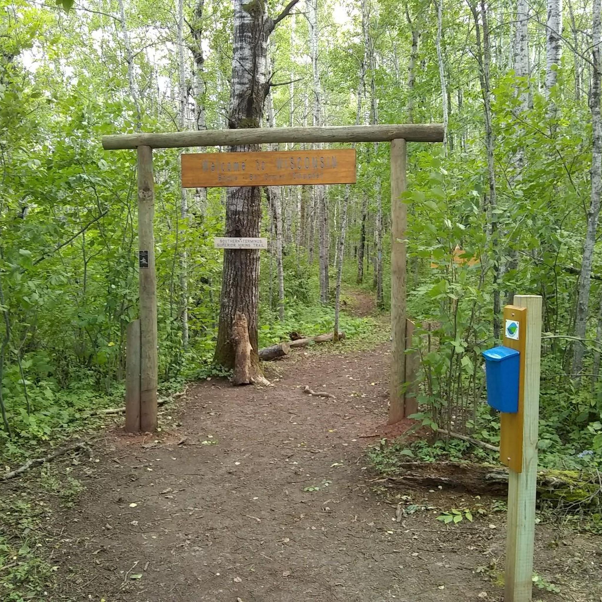
Hiking in St. Louis/Red River Stream Bank Protection Area

Running Trails in St. Louis/Red River Stream Bank Protection Area
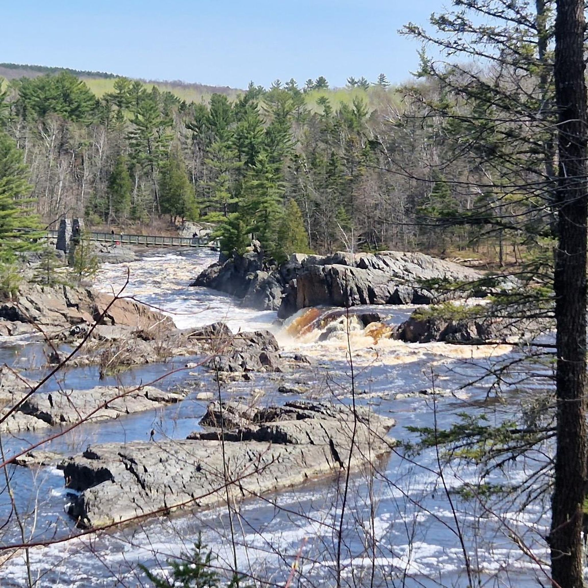
MTB Trails in St. Louis/Red River Stream Bank Protection Area
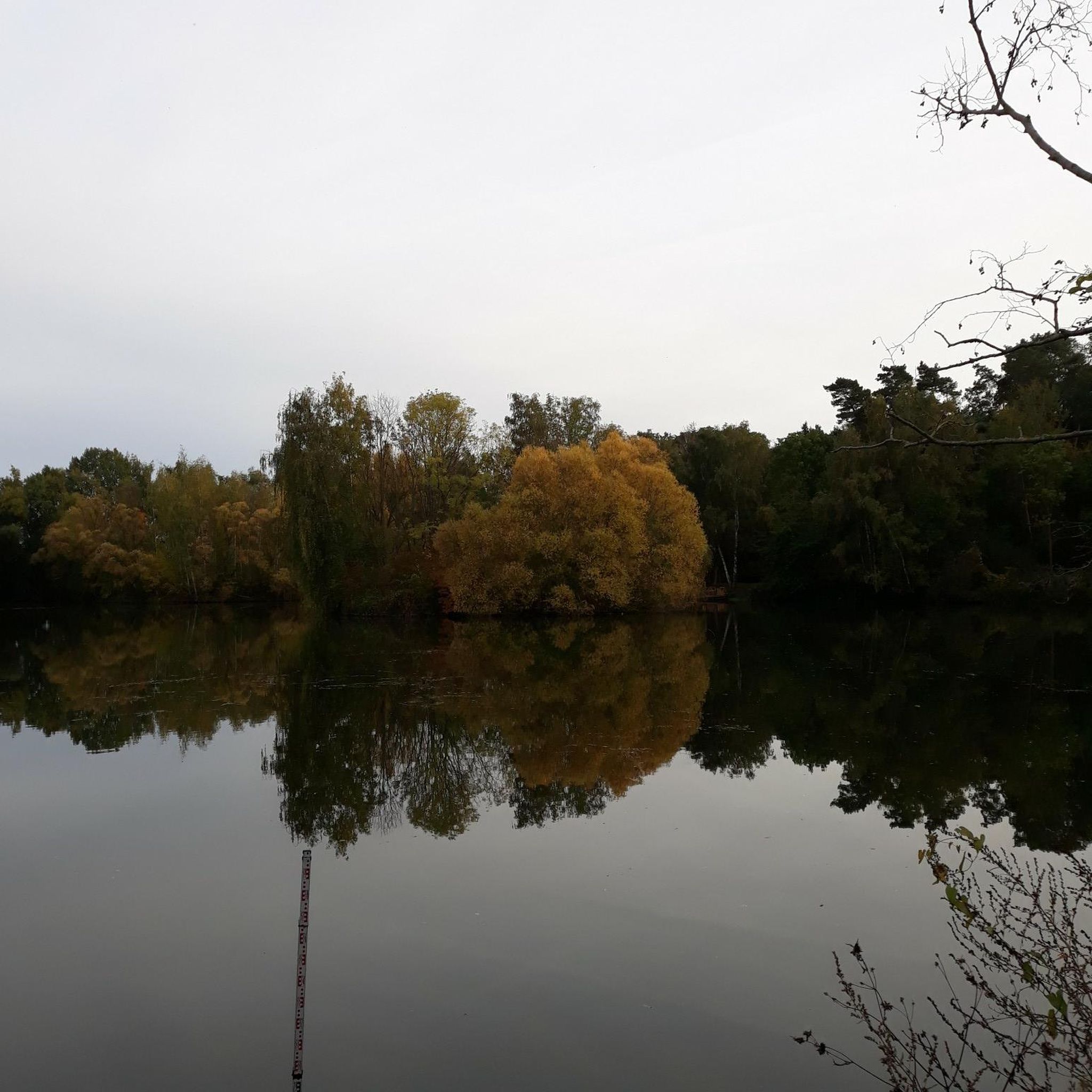
Road Cycling Routes in St. Louis/Red River Stream Bank Protection Area
Other adventures in St. Louis/Red River Stream Bank Protection Area

Tips from the Community

A flashlight on your helmet or bike will come in handy to avoid puddles on the trail.
0
0
This shelter will protect you from the elements. It also has a picnic table, but there are no toilet facilities.
0
0

route not known in kamoot map but you can cross to another trail at midway
0
0

Bob Smith Memorial Bench is at a viewpoint overlooking the St. Louis River Estuary. From here, peer down into the land conservancy project protecting the St. Louis River and the headwaters in Minnesota's Northwoods. The water below flows into Lake Superior and forms a 12,000-acre freshwater estuary.
0
0
The Willard Munger State Trail, spanning between Hinckley and Duluth, offers trails for hiking, biking, in-line skating, snowmobiling, and horseback riding. This scenic trail passes through northern hardwood forests, pine stands, and bog-filled hills. It also follows a historic railroad route that saved lives during the Hinckley and Cloquet fires in the 19th century. Visitors have the opportunity here to spot a variety of wildlife, including whitetail deer, raccoons, foxes, porcupines, and occasionally bobcats or black bears.
0
0

The William Munger State Trail crosses over a historic trestle bridge here. You get great views down the St. Louis River as you cross over this neat former railroad bridge.
0
0

The Saint Louis River is a sight, especially from the historic truss bridge that crosses it on the William Munger Trail. You can feel the force of the water as it carves a deep gorge through the rocks, creating a dramatic contrast with the forested hills. The bridge is part of Jay Cooke State Park, where you can find plenty of hiking, biking, and camping. The park also features the Thomson Dam, a hint of Duluth’s industrial past.
2
0
One of the most scenic spots in Duluth is the Saint Louis River, where you can admire the rushing rapids and the rocky gorge carved by the water.
0
0
Frequently Asked Questions
What kind of terrain can I expect on touring cycling routes in the St. Louis/Red River Stream Bank Protection Area?
The touring cycling routes in the broader vicinity of the St. Louis/Red River Stream Bank Protection Area often traverse wooded landscapes and river valleys. You'll encounter areas with steep, dendritic ravines that feed into the St. Louis and Red Rivers, as well as more level, heavily wooded sections. The Red River area is particularly known for its characteristic red clay soils. While the immediate Protection Area has limited access and rugged terrain, the cycling routes typically utilize established trails in the surrounding region.
Are there any easy touring cycling routes suitable for beginners or families?
Yes, there are a few easier options available. For instance, the region offers 2 easy touring cycling routes. These routes are generally shorter and have less elevation gain, making them suitable for those looking for a more relaxed ride or for families. Remember to check the specific route details on komoot for distance and elevation before heading out.
What do other touring cyclists say about the routes in this area?
The touring cycling routes in the St. Louis/Red River Stream Bank Protection Area are highly regarded by the komoot community, holding an average rating of 4.8 out of 5 stars from over 10 reviews. Cyclists often praise the varied terrain and the natural beauty of the wooded areas and river valleys encountered along the trails.
Can I find circular touring cycling routes in the St. Louis/Red River Stream Bank Protection Area?
Yes, several circular touring cycling routes are available. For example, you can explore the Willard Munger State Trail – Swinging bridges loop from Norton Park, which is a moderate 34.7-mile (55.9 km) loop. Another popular option is the Bob Smith Memorial Bench – Willard Munger State Trail loop from Nopeming Truck Station, a moderate 15.1-mile (24.4 km) loop that offers views of wooded areas.
Are there any specific trails that feature bridges or unique natural formations?
Yes, some routes incorporate interesting features. The Swinging bridges loop from Midway Annex is a moderate 14.8-mile (23.8 km) route that includes scenic bridges. Additionally, the Trail cut through the rock – Willard Munger State Trail loop from Midway Annex offers a unique experience with a trail section carved through rock formations.
What are the best seasons for touring cycling in the St. Louis/Red River Stream Bank Protection Area?
Given the region's characteristics, spring, summer, and fall are generally the best seasons for touring cycling. Spring offers fresh greenery, summer provides warmer temperatures, and fall showcases vibrant foliage. Winters can be challenging due to snow and ice, though some areas might be suitable for cross-country skiing. Always check local weather conditions before planning your ride.
Is the St. Louis/Red River Stream Bank Protection Area suitable for dog-friendly cycling?
While the immediate St. Louis/Red River Stream Bank Protection Area is primarily focused on ecological preservation with limited access, many trails in the broader surrounding region, such as sections of the Willard Munger State Trail, are generally dog-friendly. However, it's always best to check specific trail regulations regarding dogs, especially leash laws, before you go. Ensure your dog is comfortable with the distance and terrain.
Where can I find parking for touring cycling routes in this region?
Parking availability varies by trailhead. For routes utilizing the Willard Munger State Trail, you can often find parking at access points like Norton Park or Midway Annex, which serve as starting points for several komoot tours. It's advisable to check the specific route details on komoot for recommended parking locations near your chosen starting point.
Are there any places to explore or points of interest near the touring cycling routes?
While the St. Louis/Red River Stream Bank Protection Area itself is a conservation zone, the broader region offers natural attractions. The area is characterized by its significant ecological value, including steep ravines and the Red River, which is a Class 1 trout stream. Nearby, the Ely's Peak Trail Loop, part of the Superior Hiking Trail, provides panoramic views of the St. Louis River valley and features an abandoned train tunnel, offering a good option for a hike if you're looking for activities off the bike.
How many touring cycling routes are available in the St. Louis/Red River Stream Bank Protection Area?
There are 17 touring cycling routes available in the St. Louis/Red River Stream Bank Protection Area and its immediate surroundings. These routes offer a range of difficulties, including 2 easy, 13 moderate, and 2 difficult options, catering to various skill levels.
What is the longest touring cycling route available?
The longest touring cycling route in the area is the Willard Munger State Trail – Swinging bridges loop from Norton Park. This moderate route spans 34.7 miles (55.9 km) and typically takes about 3 hours and 18 minutes to complete, offering varied scenery along the Willard Munger State Trail.
Most popular routes in St. Louis/Red River Stream Bank Protection Area

Get inspired with the komoot mobile app


Explore more
Browse the best Cycling routes in other regions.
