The best walks and hikes in St. Louis/Red River Stream Bank Protection Area
4.8
(28)
471
hikers
31
hikes
Hikes in St. Louis/Red River Stream Bank Protection Area explore a landscape of steep, wooded ravines and river valleys near Superior, Wisconsin. The region is defined by the St. Louis and Red Rivers, which carve through the area's distinctive red clay soils. The terrain offers a mix of undeveloped wilderness paths and more established trails in adjacent areas, providing varied options for hikers.
Best hiking trails in St. Louis/Red River Stream Bank Protection Area
- The most popular hiking route is Ely's Peak Trail Loop — Duluth, MN, a 3.2 mile (5.2 km) trail that takes about 1 hour 30 minutes to complete. This easy route features sections of the Superior Hiking Trail.
- Another top favourite among local hiking enthusiasts is Ely's Peak Tunnel – Ely's Peak loop from Smithville, a moderate 7.9 mile (12.7 km) path. The trail includes varied elevation and passes through a historic railroad tunnel.
- Local hiking enthusiasts also love the Ely's Peak loop from Elys Peak, a 1.8 mile (2.9 km) trail leading through mixed forest, often completed in about 55 minutes.
- Hiking in St. Louis/Red River Stream Bank Protection Area is defined by steep ravines, dense woodlands, and riverside paths. The network of routes provides options for different ability levels, from short loops to more demanding hikes.
- The routes in St. Louis/Red River Stream Bank Protection Area are highly rated by the komoot community with an average score of 4.9 stars from over 15 reviews. More than 300 hikers have used komoot to explore St. Louis/Red River Stream Bank Protection Area's varied terrain.
Last updated: November 16, 2026
87.6km
24:19
1,640m
1,500m
1
hikers
2.47km
00:38
10m
20m
Waabizheshikana: The Marten Trail offers a delightful and easy hiking experience along the St. Louis River in Duluth, Minnesota. You'll follow a wide, gravel path, enjoying scenic views of the estuary and its diverse landscapes, perfect for spotting wildflowers and birds. The trail's cultural significance is woven into the experience with interpretive signs featuring Ojibwe words and striking laser-cut animal sculptures, making this 1.5-mile (2.5 km) route with only 23 feet (7 metres) of elevation gain a unique journey that takes about 38 minutes.
Planning your visit to Waabizheshikana: The Marten Trail is straightforward, as it's known for its accessibility and recent upgrades. The terrain and minimal elevation make it an easy hike suitable for families and various users. Dogs are permitted on the trail, provided they are kept on a leash, ensuring a pleasant experience for everyone.
This trail is more than just a path; it's a significant part of the Great Lakes Restoration Initiative, aiming to reconnect people with the St. Louis River. Originally known as the Western Waterfront Trail, its renaming honors the Marten Clan, reflecting its deep cultural roots. It also serves as a gateway to the 70-mile paved Willard Munger Trail, offering further exploration opportunities.

2.01km
00:36
60m
60m
The Ely's Peak Loop Trail offers a fantastic, compact adventure, winding through wooded areas and over varied terrain that includes rocky and rooted sections. From the summit of Ely's Peak, you're treated to expansive views of the St. Louis River valley, a truly scenic viewpoint that makes this easy 1.2-mile (2.0 km) loop feel much grander than its length suggests. It's a perfect way to immerse yourself in the natural beauty of the Duluth area, especially when the fall colors are at their peak.
Planning your visit is straightforward; the trail is easily accessible, though specific parking information isn't detailed, so allow some flexibility upon arrival. At just 36 minutes of hiking time, it's a great option for a quick escape, and it's also dog friendly, provided your canine companion stays on a leash. For the best experience, consider visiting in the fall to witness the stunning seasonal considerations of the changing foliage.
What truly sets this route apart is its connection to the much longer Superior Hiking Trail and the unique historical element of the abandoned Duluth, Winnipeg & Pacific Railway tunnel, which you can explore. With a modest 199 feet (61 metres) of elevation gain, it offers a rewarding experience without being overly strenuous, making it a local favorite for its combination of challenge and spectacular Ely's Peak Loop Trail landmarks.
4.0
(1)
19
hikers
5.15km
01:30
130m
130m
The Ely's Peak Loop Trail offers a rewarding escape into nature just outside Duluth, Minnesota. You'll traverse rooted paths and rocky sections, with some steep climbs that require sure-footedness, leading to the spectacular 360-degree panoramic views from Ely's Peak. From the summit, you can gaze out over the St. Louis River valley, the city of Duluth, and the historic Oliver Bridge, making this easy 3.2-mile (5.2 km) hike with 436 feet (133 metres) of elevation gain a high-payoff adventure. Expect to complete the loop in about 1 hour and 29 minutes.
This popular trail is easily accessible from Duluth, but its popularity means the parking area can fill up quickly, especially on weekends. Dogs are welcome on leash, and the autumn months are particularly recommended for the vibrant fall foliage. While the trail is generally considered easy, the rocky terrain and some scrambling sections mean sturdy footwear is a must.
Beyond the views, the Ely's Peak Loop Trail offers a unique historical element with its abandoned 520-foot railroad tunnel, a relic from the mining industry. The route also connects to the much larger Superior Hiking Trail, giving you a taste of this renowned long-distance path. It's a local favorite for good reason, blending natural beauty with a touch of history.
14
hikers
2.93km
00:52
90m
90m
The Ely's Peak loop from Elys Peak offers a delightful escape into nature, winding through beautiful forests characteristic of the Superior Hiking Trail. You'll navigate rooted paths and rocky sections, leading to the highlight of Ely's Peak itself, where you're treated to expansive views of the St. Louis River valley. Keep an eye out for the fascinating abandoned railroad tunnel, a unique feature along the way, adding a touch of history to the natural beauty.
This easy 1.8-mile (2.9 km) hiking route is quick, taking only about 52 minutes to complete, with a manageable 298 feet (91 metres) of elevation gain. The trailhead is easily accessible, just minutes from Duluth, making it a convenient option for a spontaneous outdoor adventure. It's a great choice for those seeking impressive vistas and varied terrain without a long commitment.
Part of the larger Superior Hiking Trail system, this loop provides a taste of the region's renowned long-distance path. The area is particularly stunning during the fall when the foliage bursts with vibrant colors, and wildflowers add charm in late spring. It's a popular choice for its blend of natural seclusion and proximity to the city, offering a rewarding experience for families and dog owners alike.
Get access to more routes and recommendations from other explorers.
Already have an account?
Our route recommendations are based on thousands of hikes, rides, and runs completed by other people on komoot.
Start today with a free account
Your next adventure awaits.
Popular around St. Louis/Red River Stream Bank Protection Area
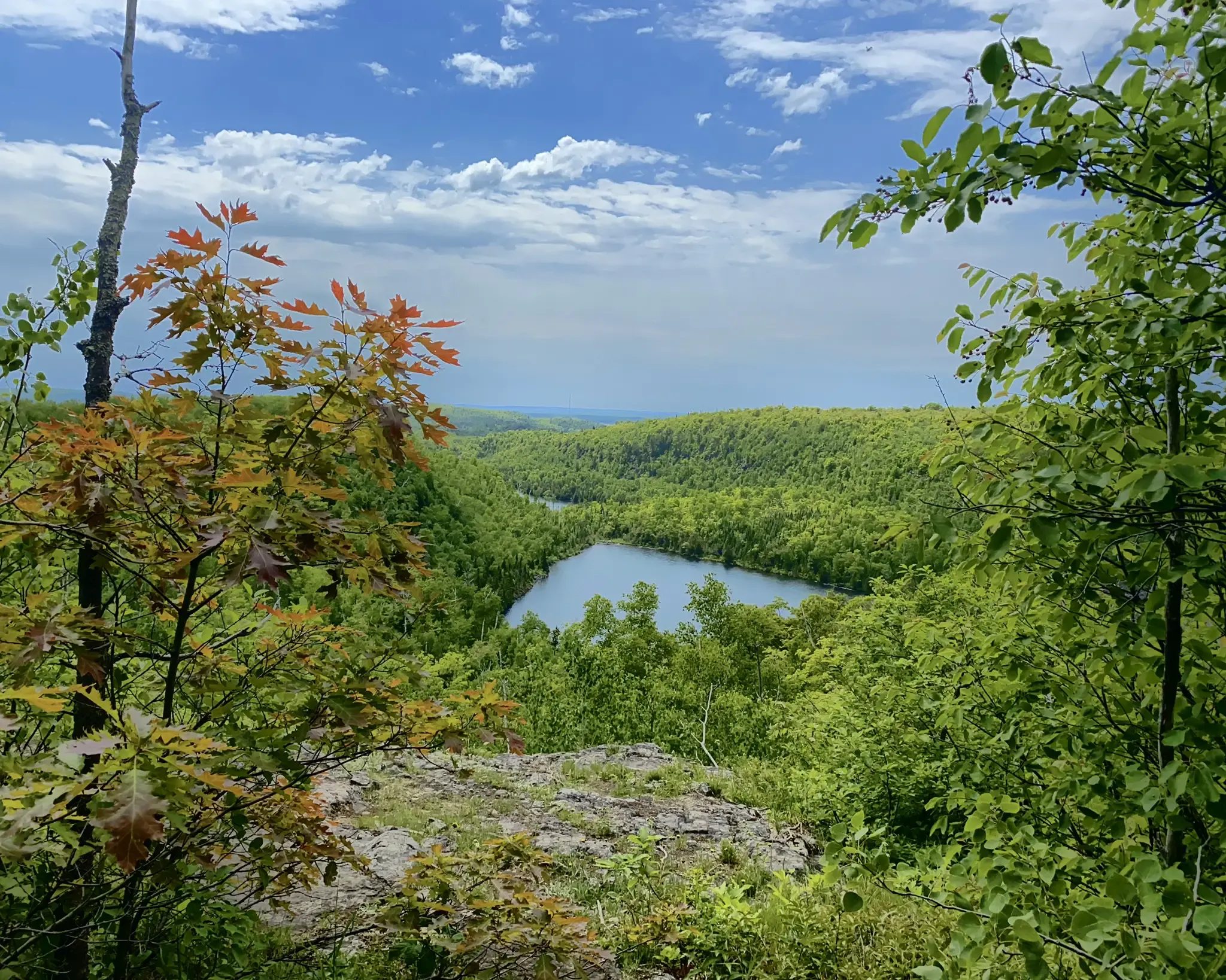
North Country Trail – 4,800 Miles along the edge of northern U.S.
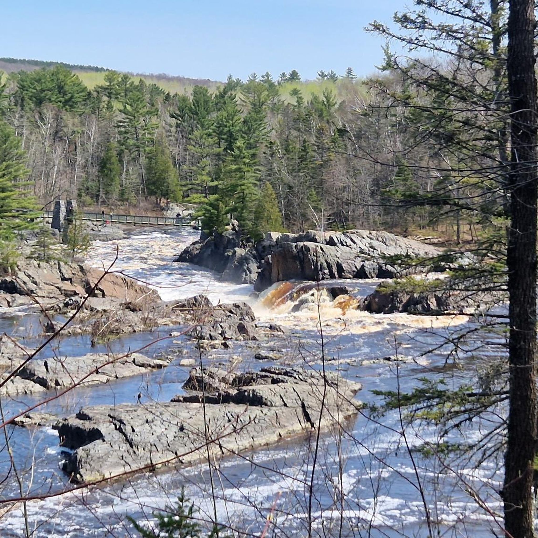
Cycling in St. Louis/Red River Stream Bank Protection Area

Running Trails in St. Louis/Red River Stream Bank Protection Area
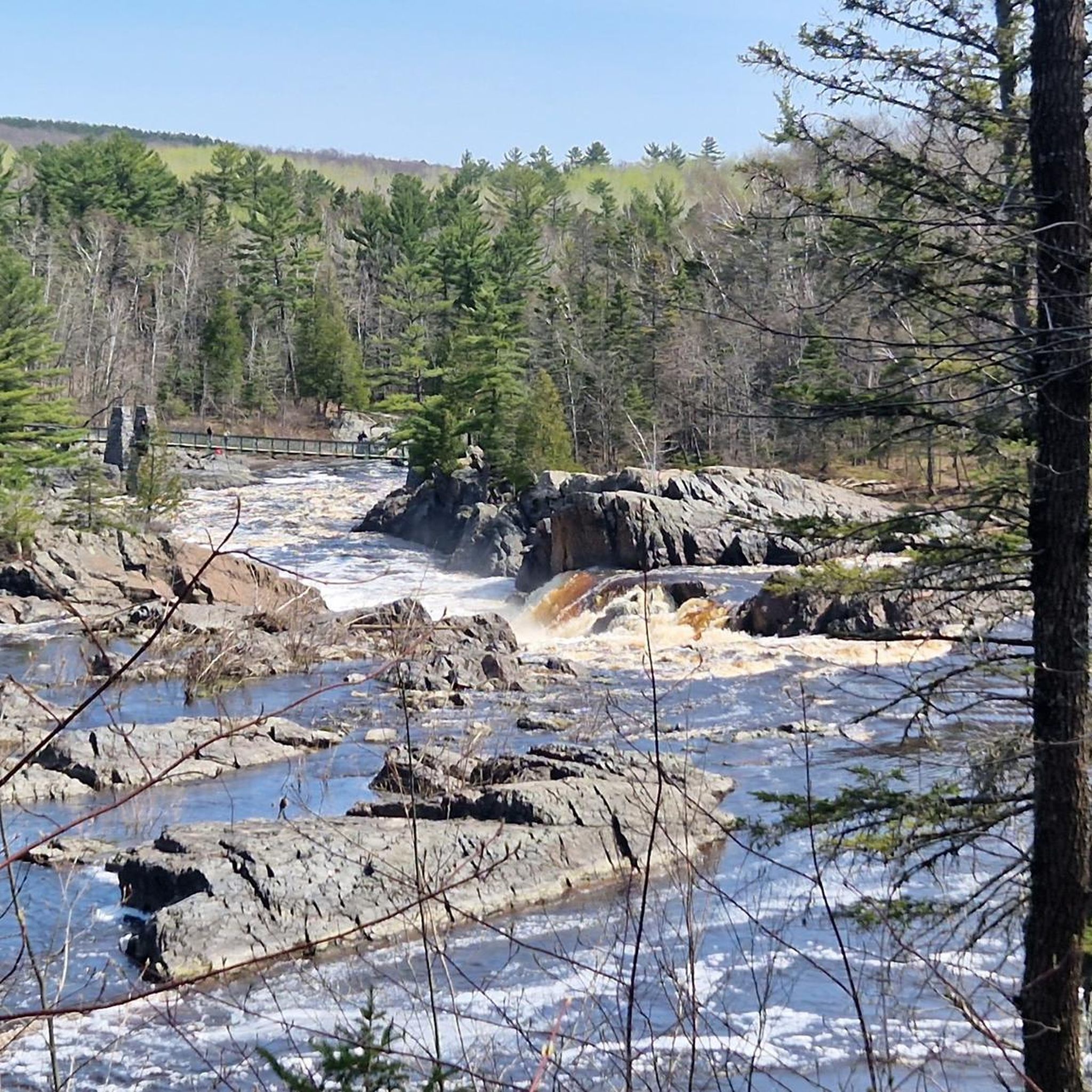
MTB Trails in St. Louis/Red River Stream Bank Protection Area
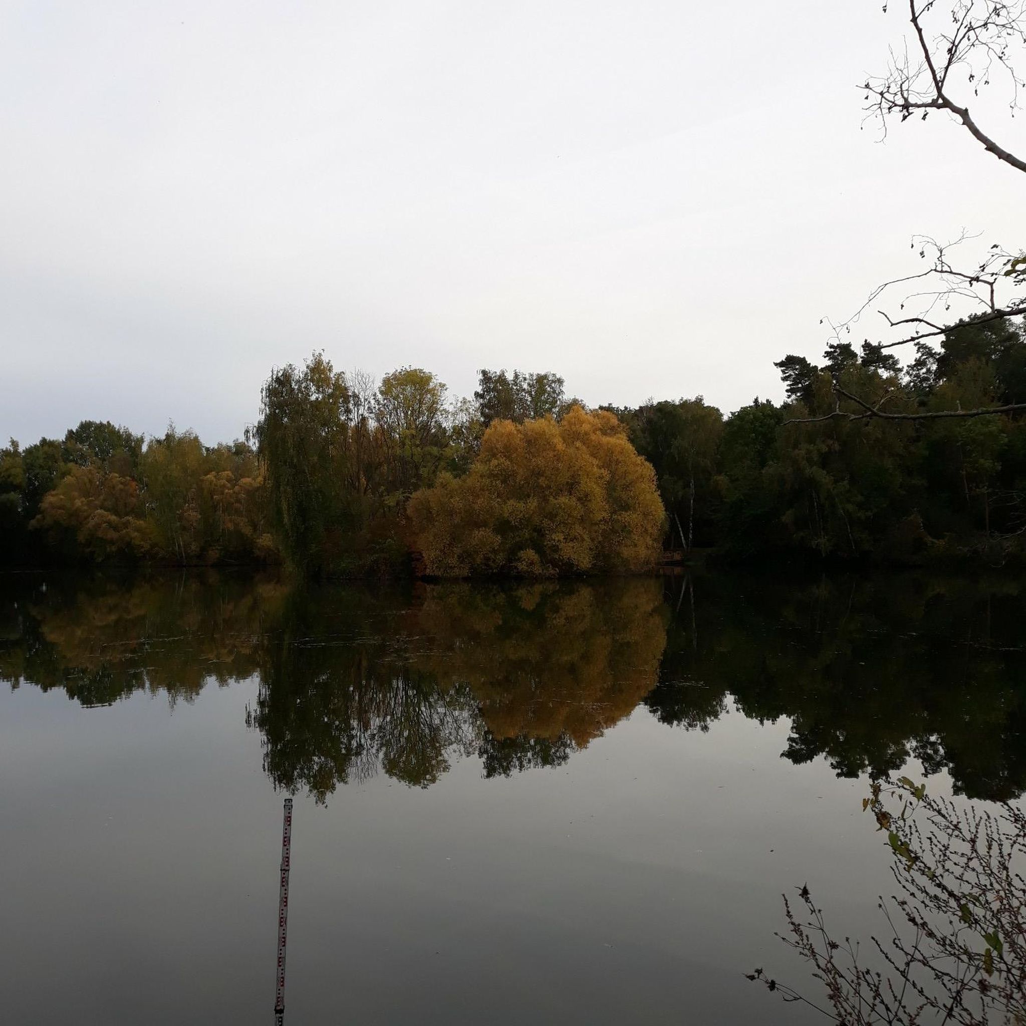
Road Cycling Routes in St. Louis/Red River Stream Bank Protection Area
Other adventures in St. Louis/Red River Stream Bank Protection Area

Tips from the Community


A flashlight on your helmet or bike will come in handy to avoid puddles on the trail.
0
0

This overlook is a fantastic spot to catch a glimpse of Lake Superior from an elevated vantage point. It's a great spot to take a break and capture a few memorable photos while enjoying this beautiful park.
0
0

The Martin Road Trailhead marks the northern starting point of the Superior Hiking Trail's North Shore section, offering access to 94 backcountry campsites along a 260-mile stretch to the Canadian border. From here, the trail leads through diverse landscapes, including mixed forests and occasional ponds, providing a relatively flat and scenic route.
0
0

route not known in kamoot map but you can cross to another trail at midway
0
0

Here you can explore the westernmost point of the Great Lakes and look out across the mighty expanse of Lake Superior. There is a carriage road, paved bike path, and boardwalk that all run in parallel along the shore from Duluth to the northern lighthouse pier.
0
0

This little park sits along an overlapping portion of the Superior Hiking Trail and the Lakewalk, which stretches for miles along Lake Superior's shoreline. It's a great spot to watch ships coming and going under the Duluth Aerial Lift Bridge.
0
0

Canal Park is a vibrant district of Duluth, where you can enjoy the best of the city and the lake. Watch the ships pass under the iconic Aerial Lift Bridge, visit the Lake Superior Maritime Visitor Center, or stroll along the sandy beach. You’ll also find plenty of shops, cafes, and restaurants to suit your taste. Canal Park is a must-see destination for any visitor to Duluth.
2
0
Frequently Asked Questions
Are there any official or marked trails in the St. Louis/Red River Stream Bank Protection Area?
The protection area itself is largely undeveloped and does not have officially designated or maintained trails. Hiking here involves off-trail navigation through rugged terrain. For a more structured experience with marked paths, you might enjoy the Ely's Peak Trail Loop, which follows sections of the Superior Hiking Trail nearby.
What are the trail conditions like?
Expect rugged and challenging conditions. The terrain is characterized by steep, dendritic ravines and heavily wooded areas with distinctive red clay soils, which can be slippery when wet. There are no maintained paths, so you must be prepared for true wilderness travel and rely on your own navigation skills.
Are dogs allowed in the St. Louis/Red River Stream Bank Protection Area?
Yes, dogs are generally permitted in the area, but they must be kept under your control at all times. Given the rugged, unfenced terrain and presence of wildlife, it's crucial to ensure your dog does not disturb the natural environment or other visitors.
How do I get to the protection area and where can I park?
Walk-in access is available from the southern boundary of the area. An abandoned railroad grade, now a county ATV trail, leads to this edge, but motorized vehicles are not permitted within the state-owned property itself. The northern part of the area is best accessed by boat. There are no formal parking lots, so parking is limited to informal pull-offs where available.
Are there any easy or family-friendly hikes in the region?
While the protection area itself is very rugged, there are easier options in the surrounding region. The Hiking loop from Silver Brook Township is a relatively flat and manageable walk suitable for a wider range of abilities.
What kind of wildlife might I see?
The area is a vital part of the Lake Superior National Estuarine Research Reserve and offers excellent wildlife viewing. It's a critical stopover for migratory birds, so birdwatchers can spot waterfowl, wading birds, and songbirds. The diverse habitats also support various mammals and other native fauna.
What do other hikers think of the routes in this area?
The collection of routes in and around the St. Louis/Red River Stream Bank Protection Area is highly rated by the komoot community, with an average score of 4.9 stars. Hikers often praise the sense of solitude and the rewarding challenge of the undeveloped landscape.
Are there other activities besides hiking?
Yes, the area is popular for a range of outdoor activities. The Red River is a designated Class 1 trout stream, and the St. Louis River is a renowned fishery for walleye and bass. The 18 stream miles are also excellent for canoeing and kayaking. Hunting, trapping, and berry picking are also permitted in season.
Is there a challenging, long-distance hike available?
For those seeking a significant challenge, the Hiking loop from Wrenshall is a difficult 12.7-mile (20.4 km) route that will test your endurance. It explores the wider landscape and involves considerable distance and elevation gain.
What is the best time of year to visit?
Summer and fall are generally the best times for hiking. Summer offers lush green foliage, while fall provides stunning colors and fewer insects. Spring can be very wet and muddy due to snowmelt and the area's clay soils. Winter access is possible for experienced adventurers equipped for snow and cold.
Are there any interesting man-made features to see on the trails?
Yes, the nearby Ely's Peak Tunnel – Ely's Peak loop from Smithville features a historic railroad tunnel. This moderate route offers a unique glimpse into the region's industrial past alongside its natural beauty.
How many hiking routes are available in the area on komoot?
You can explore over 25 different routes in and around the St. Louis/Red River Stream Bank Protection Area. These range from short, easy walks in adjacent parks to difficult, off-trail adventures within the protection area itself.
Most popular routes in St. Louis/Red River Stream Bank Protection Area

Get inspired with the komoot mobile app


Explore more
Browse the best Hikes in other regions.
