The 11 Most Amazing Peaks around Rheinbrohl
Best mountain peaks around Rheinbrohl are situated in Rhineland-Palatinate, Germany, offering elevated points for scenic views and hiking opportunities. The region features a picturesque landscape, including the Rhein-Wied-Rücken, a wooded ridge separating the Rhine and Wied valleys. These prominent peaks near Rheinbrohl provide rewarding experiences for visitors exploring the natural beauty and historical significance of the area. The region is part of the Rhine-Westerwald Nature Park, known for its extensive hiking routes.
Best mountain peaks around Rheinbrohl
- The most popular…
Last updated: October 4, 2026
Malberg Summit
Highlight • Summit
Translated by Google •
Tip by

Kaiserberg summit cross and view over Linz am Rhein
Highlight • Viewpoint
Showing Translation
Tip by

Sign up now to discover places like this
Get recommendations on the best single tracks, peaks, & plenty of other exciting outdoor places.
Bärenkopp summit cross – View of Waldbreitbach
Highlight • Summit
Translated by Google •
Tip by
WällerTour Bärenkopp
Highlight (Segment) • Trail
Translated by Google •
Tip by

View from Roßbacher Häubchen
Highlight • Viewpoint
Translated by Google •
Tip by

Sign up for free to discover even more peaks around Rheinbrohl.
Already have an account?
Start today with a free account
Your next adventure awaits.
Popular around Rheinbrohl

German Limes Cycle Path – Riding from the Rhine to the Danube
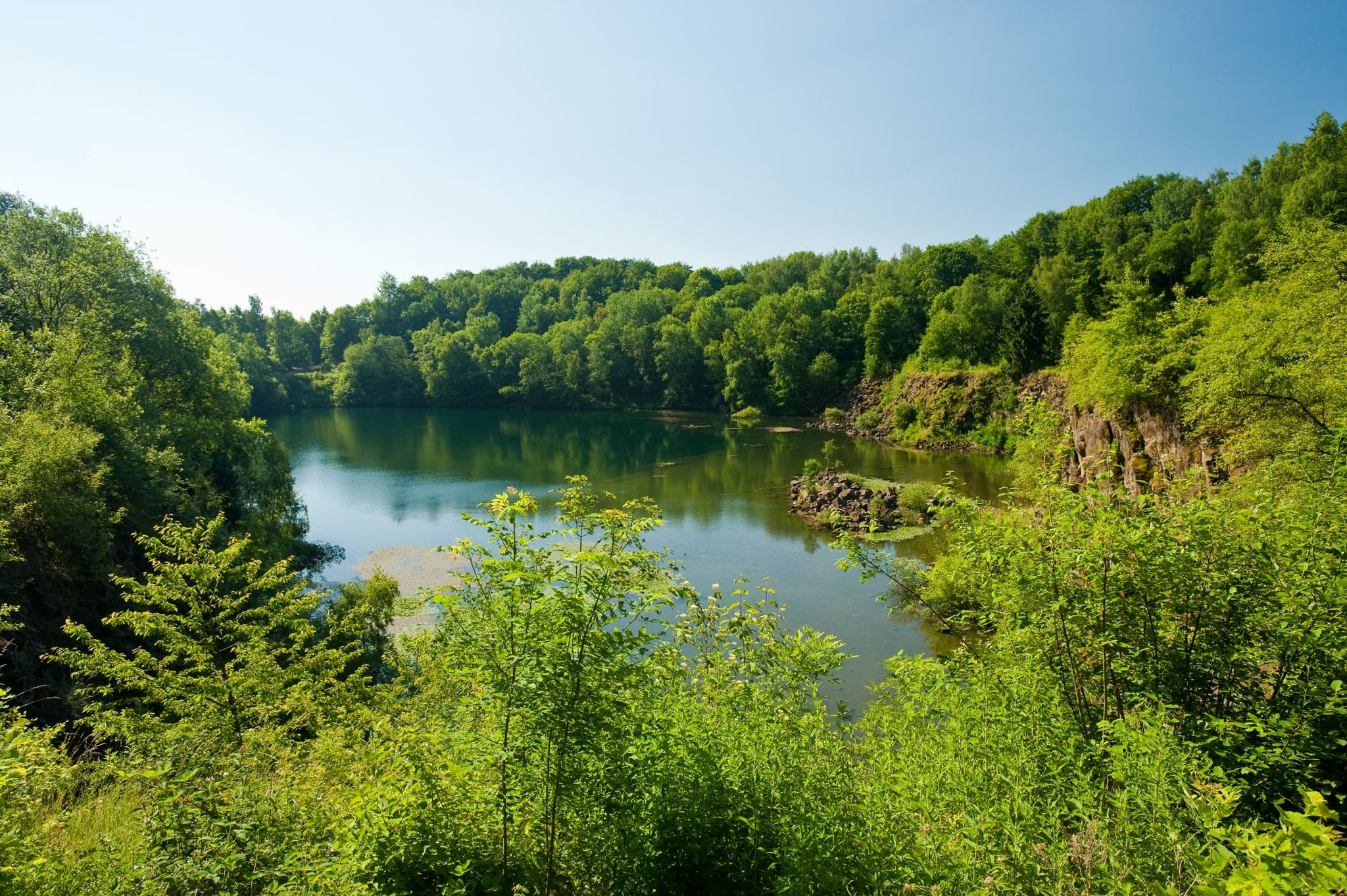
19 short hikes in the Westerwald
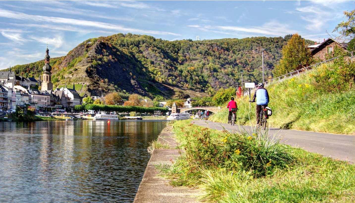
Mehrtagesradtouren in Deutschland und angrenzenden Ländern
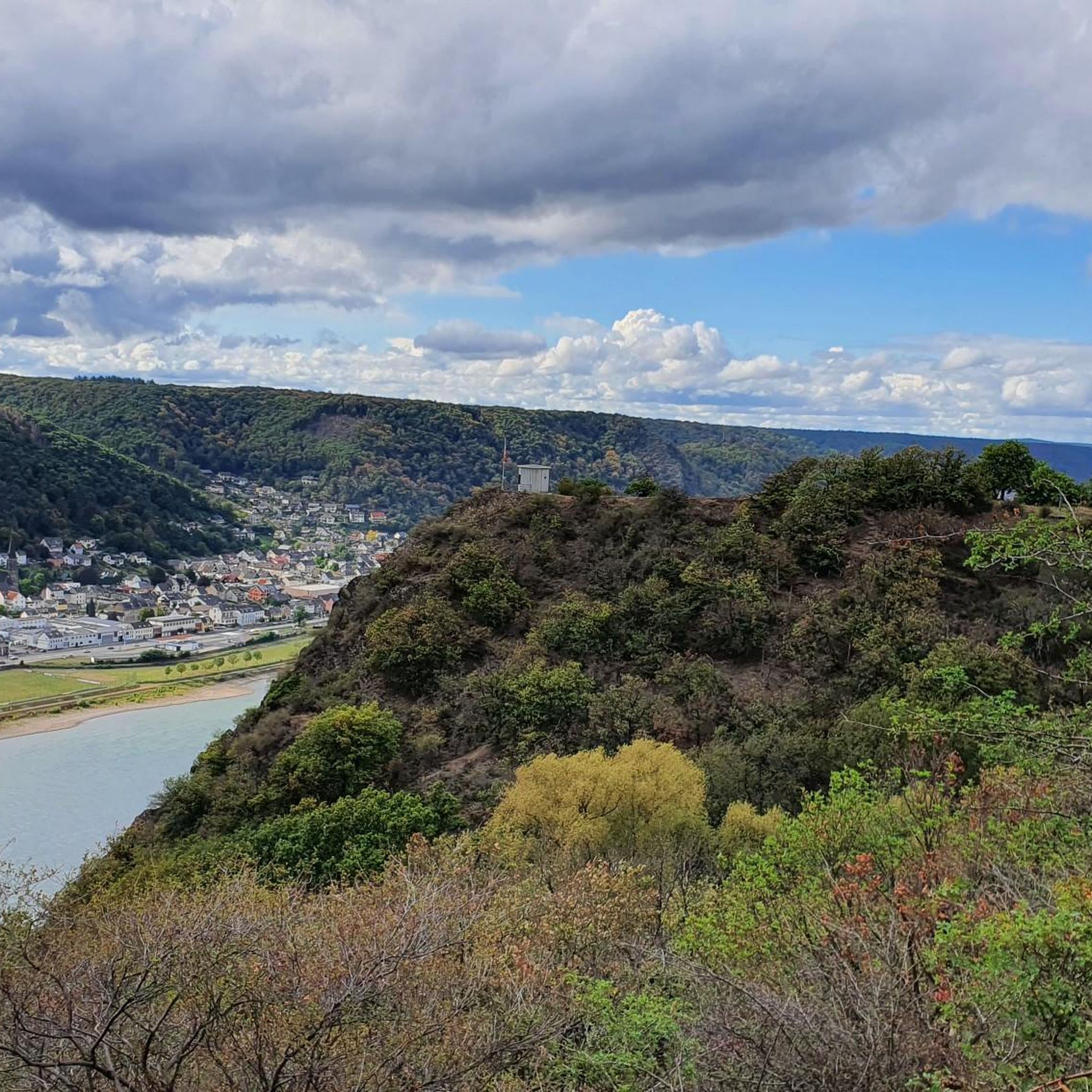
Cycling around Rheinbrohl
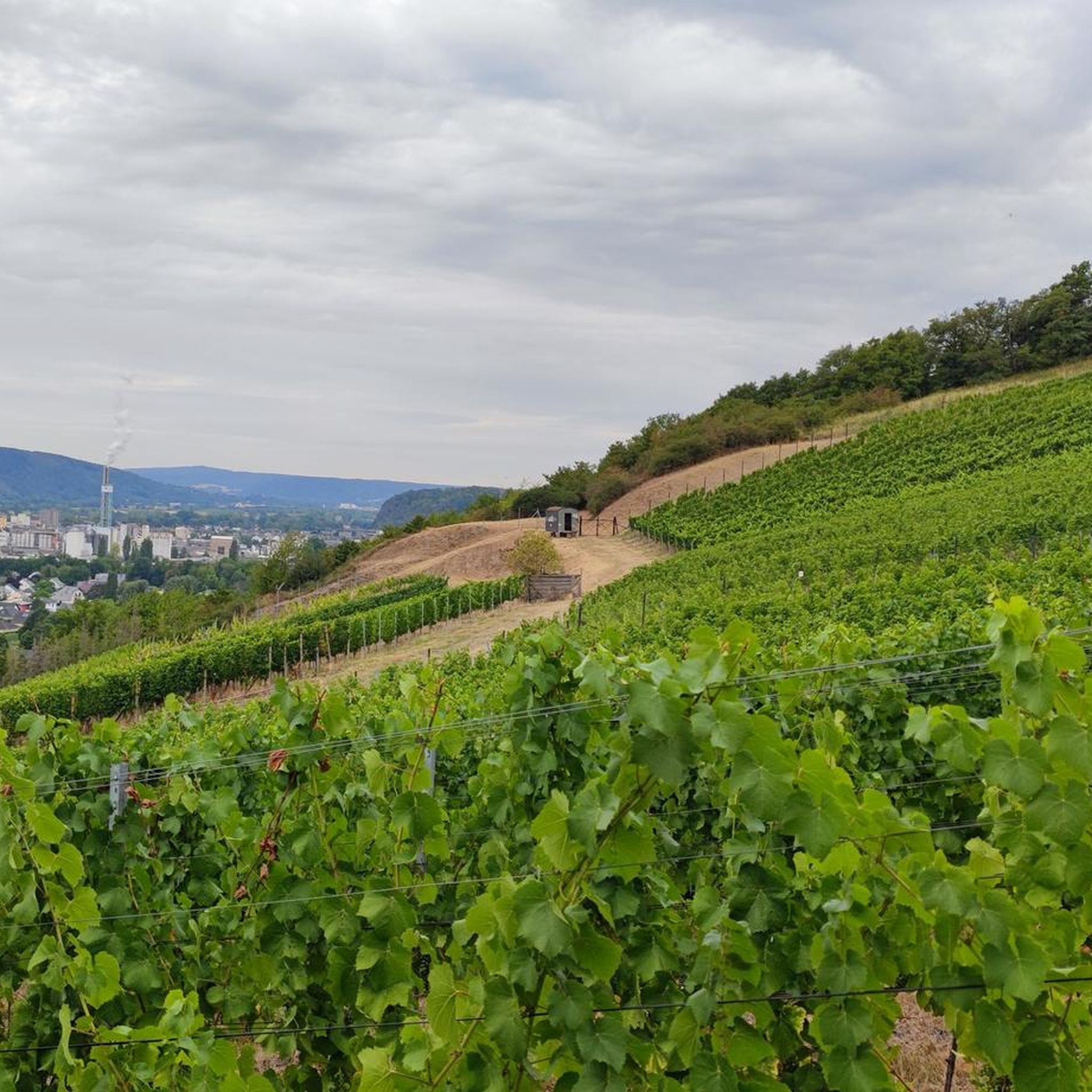
Hiking around Rheinbrohl
Road Cycling Routes around Rheinbrohl
MTB Trails around Rheinbrohl
Running Trails around Rheinbrohl
Gravel biking around Rheinbrohl
Other adventures around Rheinbrohl


Tips from the Community

There are two ways to the summit (Bärenkopp), I chose the steep route. A bit of a challenge, but I'm happy to have made it.
4
0

On to the Kaiserberg, up and down are no problem.
10
0

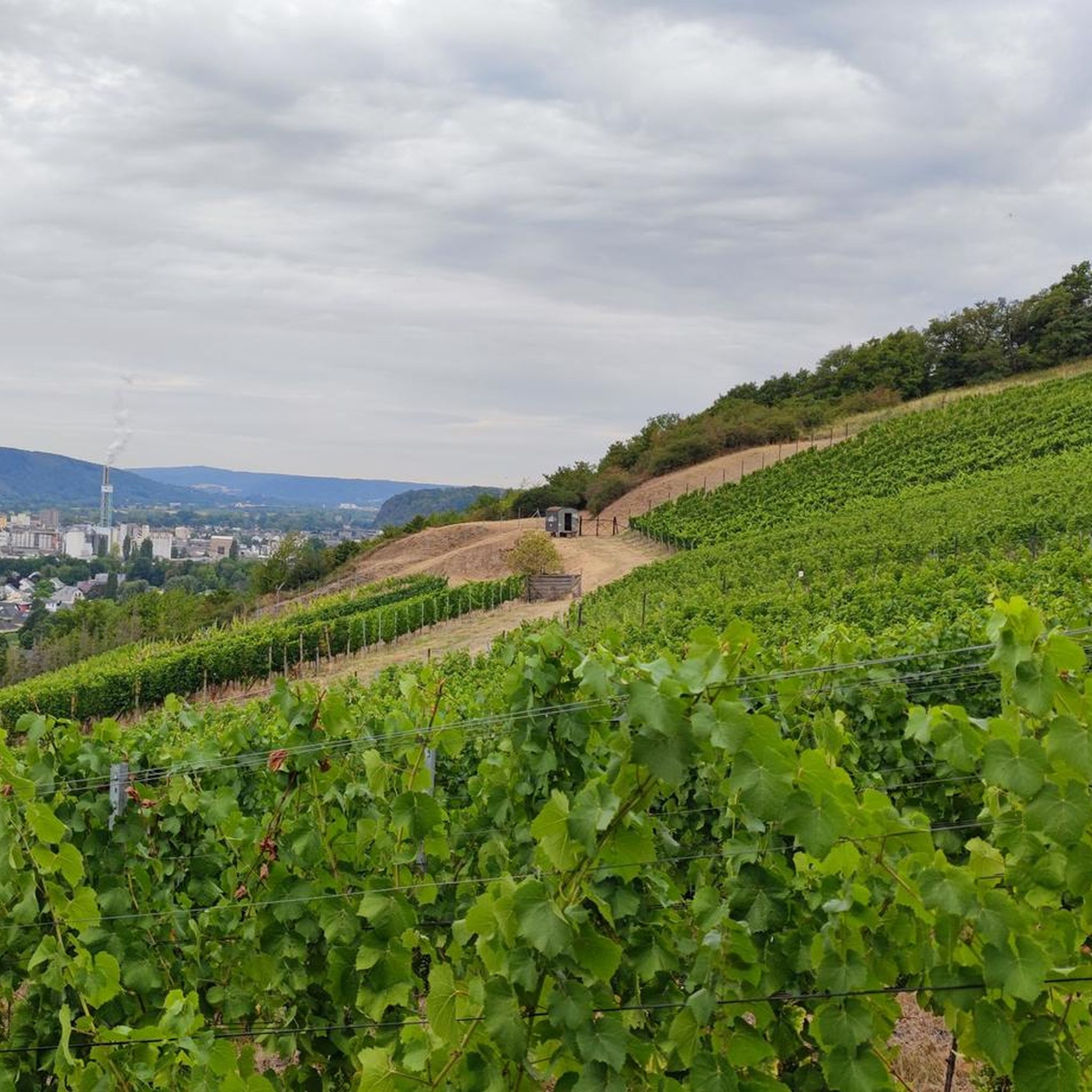
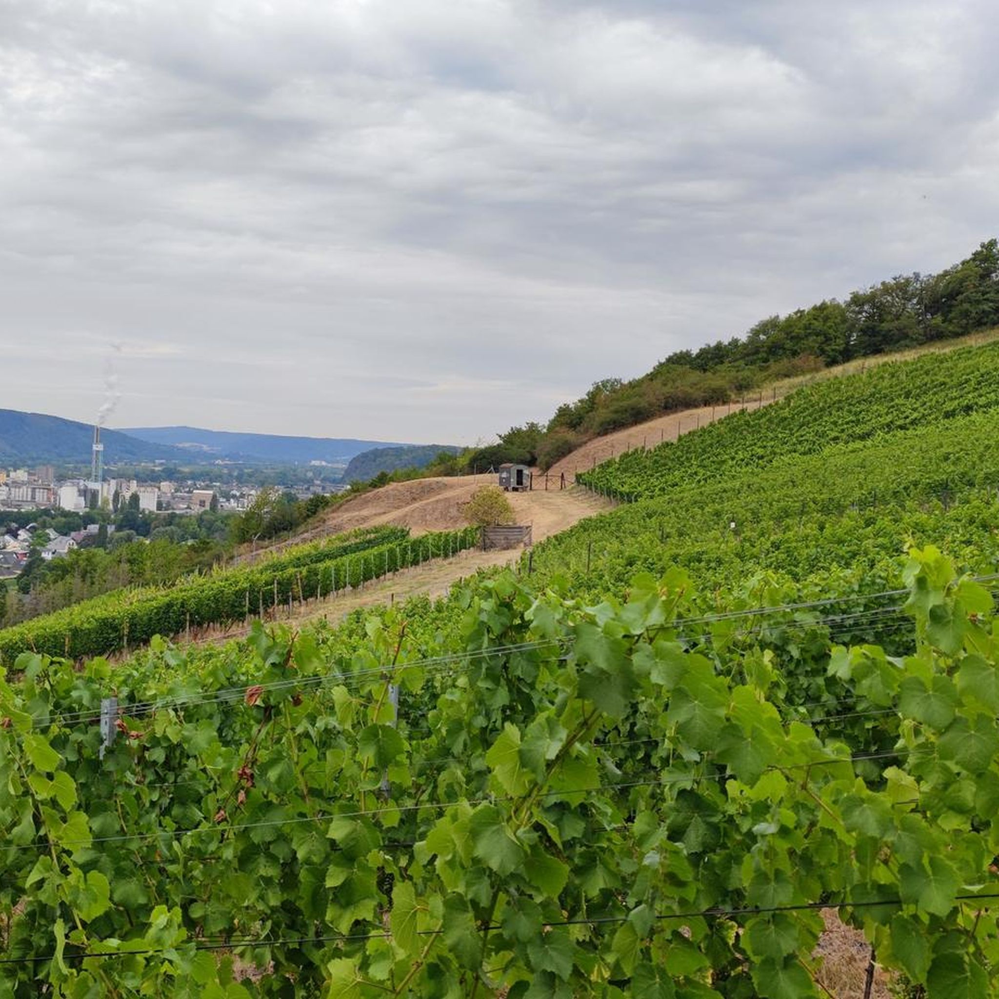
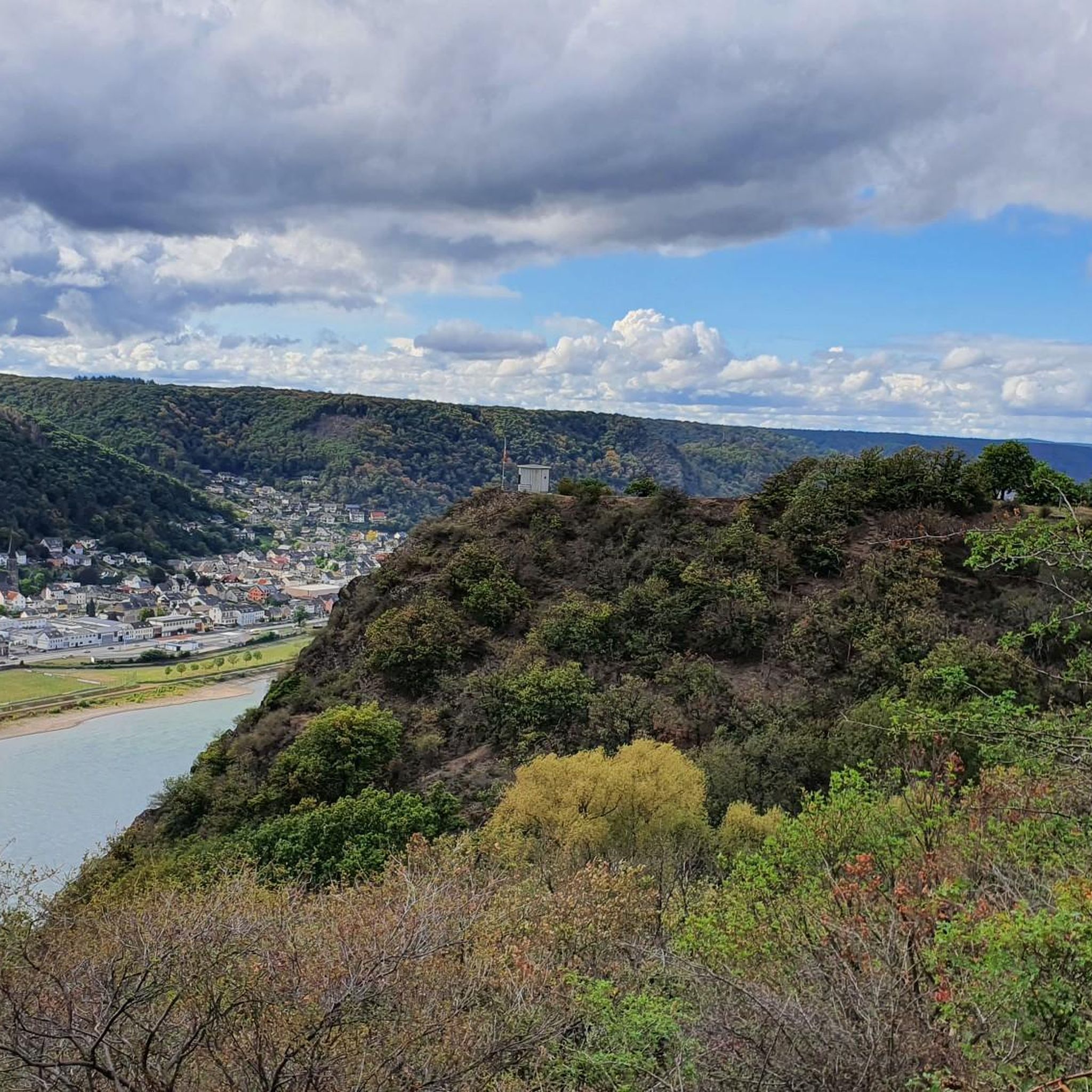
From the Kaiserberg you have a magnificent view over the Rhine Valley. The cross is enthroned majestically and an information board explains the basalt mining near Linz. The Donatus chapel is a quiet place of worship.
9
1

The Wällertour Bärenkopp is a beautiful, well-marked hiking route that is really worth doing.
5
0

Like all Wäller tours, the Bärenkopp is a great, well-marked circular hiking trail with beautiful views and different conditions along the way.
3
0

Beautiful, well-kept hiking trails around the Malberg. Goats are currently grazing there to keep the impassable parts free.
5
0

Coming from Linz, you have your first ascent behind you here and can enjoy the beautiful view over the Rhine with a panorama map. Benches invite you to take a breather.
10
0

Frequently Asked Questions
What are some of the most popular mountain peaks to visit around Rheinbrohl?
The region around Rheinbrohl offers several popular elevated points. Among them, the Bärenkopp summit cross – View of Waldbreitbach is highly regarded for its views extending to the Siebengebirge. Another favorite is the Kaiserberg summit cross and view over Linz am Rhein, which provides beautiful vistas of the Rhine and Remagen Kripp. The Malberg Summit is also a key feature in many hiking routes, offering scenic views and a place to rest.
Which peaks offer the best panoramic views of the Rhine Valley?
For breathtaking panoramic views of the Rhine Valley, the Kaiserberg summit cross and view over Linz am Rhein is an excellent choice, offering clear sights of the Rhine and Remagen Kripp. Additionally, the Rheinbrohler Ley, a rocky mountain south of Rheinbrohl, is particularly noted for its splendid views in all directions over the Rhine valley.
Are there family-friendly mountain peaks or trails suitable for children near Rheinbrohl?
Yes, several peaks and their surrounding trails are considered family-friendly. The Malberg Summit and the Kaiserberg summit cross and view over Linz am Rhein are both categorized as family-friendly. Many hiking routes in the Rhine-Westerwald Nature Park, which encompasses these peaks, are accessible and offer enjoyable experiences for families.
What kind of hiking trails can I expect around Rheinbrohl's peaks?
The region around Rheinbrohl offers a variety of hiking trails, ranging from easy to moderate difficulty. You can find routes like the 'Dietrich Schareina Trail – Malberg Summit loop from Hausen (Wied)' which is considered easy, or more moderate options such as the 'Beulenberg Roman Watchtower – Malberg Summit loop from Bad Breisig'. These trails often lead through forests, offer scenic viewpoints, and are part of the extensive network in the Rhine-Westerwald Nature Park, including sections of the long-distance Rheinsteig trail. For more hiking options, explore the Hiking around Rheinbrohl guide.
Can I bring my dog on the mountain trails around Rheinbrohl?
Yes, many of the trails and peaks in the Rheinbrohl area are dog-friendly. For instance, the Malberg Summit is explicitly listed as dog-friendly, making it a great option for hiking with your canine companion. It's always advisable to keep dogs on a leash and respect local regulations.
Are there any historical or cultural points of interest near the mountain peaks?
Yes, the region around Rheinbrohl is rich in history. The UNESCO World Heritage Upper Germanic-Rhaetian Limes, which started in Rheinbrohl, adds significant historical context to any outdoor exploration. Additionally, hiking trails often offer views of medieval castles and charming towns along the Rhine, providing a blend of natural beauty and cultural heritage.
What is the best time of year to hike the mountain peaks around Rheinbrohl?
The region around Rheinbrohl is generally pleasant for hiking from spring through autumn. Spring brings blooming landscapes, while autumn offers vibrant fall colors. Summer is also suitable, though it can be warmer. Winter hiking is possible, but weather conditions should be checked, and appropriate gear is necessary, especially for higher or more exposed sections.
Are there places to eat or rest near the mountain peaks?
Yes, some peaks offer amenities. For example, near the Malberg Summit, you can find the Malberg ski hut/hiking hut, which is a managed hut offering a delicious menu and drinks with wonderful views. It's a great spot to take a break after an ascent.
What other outdoor activities can I do near the mountain peaks in Rheinbrohl?
Beyond hiking, the Rheinbrohl area offers excellent opportunities for cycling and gravel biking. You can find various routes like the 'View of Rheineck Castle – View of Bad Breisig loop from Rheinbrohl' for cycling, or more challenging gravel biking routes such as the 'Wied Valley – Birkelsberg Tunnel loop from Niederbieber'. For more details, refer to the Cycling around Rheinbrohl guide and the Gravel biking around Rheinbrohl guide.
What makes the Hummelsberg Summit Cross noteworthy?
The Hummelsberg Summit Cross marks a peak that offers a wonderful view of the Linzer Höhe and far into the Eifel. It has historical significance, with a summit cross first erected in 1837. While the ascent requires sturdy shoes and sure-footedness, visitors are often thrilled by the mega all-round view from the top.
How can I access the Malberg Summit using public transport?
While specific public transport routes directly to the Malberg Summit's trailhead are not detailed, Rheinbrohl itself has public transport connections. From Rheinbrohl, you would typically need to connect to local bus services or consider a short taxi ride to reach the starting points of trails leading to the Malberg Summit, such as those near Bad Breisig or Hausen (Wied).
What is the WällerTour Bärenkopp?
The WällerTour Bärenkopp is a beautiful, well-marked hiking route known for its rustic paths and varied terrain. It leads to the Bärenkopp summit, offering fantastic views of Waldbreitbach. There are options for both shorter, steeper ascents and slightly longer, less steep paths to reach the summit.
Most popular routes around Rheinbrohl
Most popular attractions around Rheinbrohl

Get inspired with the komoot mobile app


Explore more
See even more amazing summits around Rheinbrohl with these guides:
