The best walks and hikes around Rheinbrohl
4.5
(1339)
4,241
hikers
57
hikes
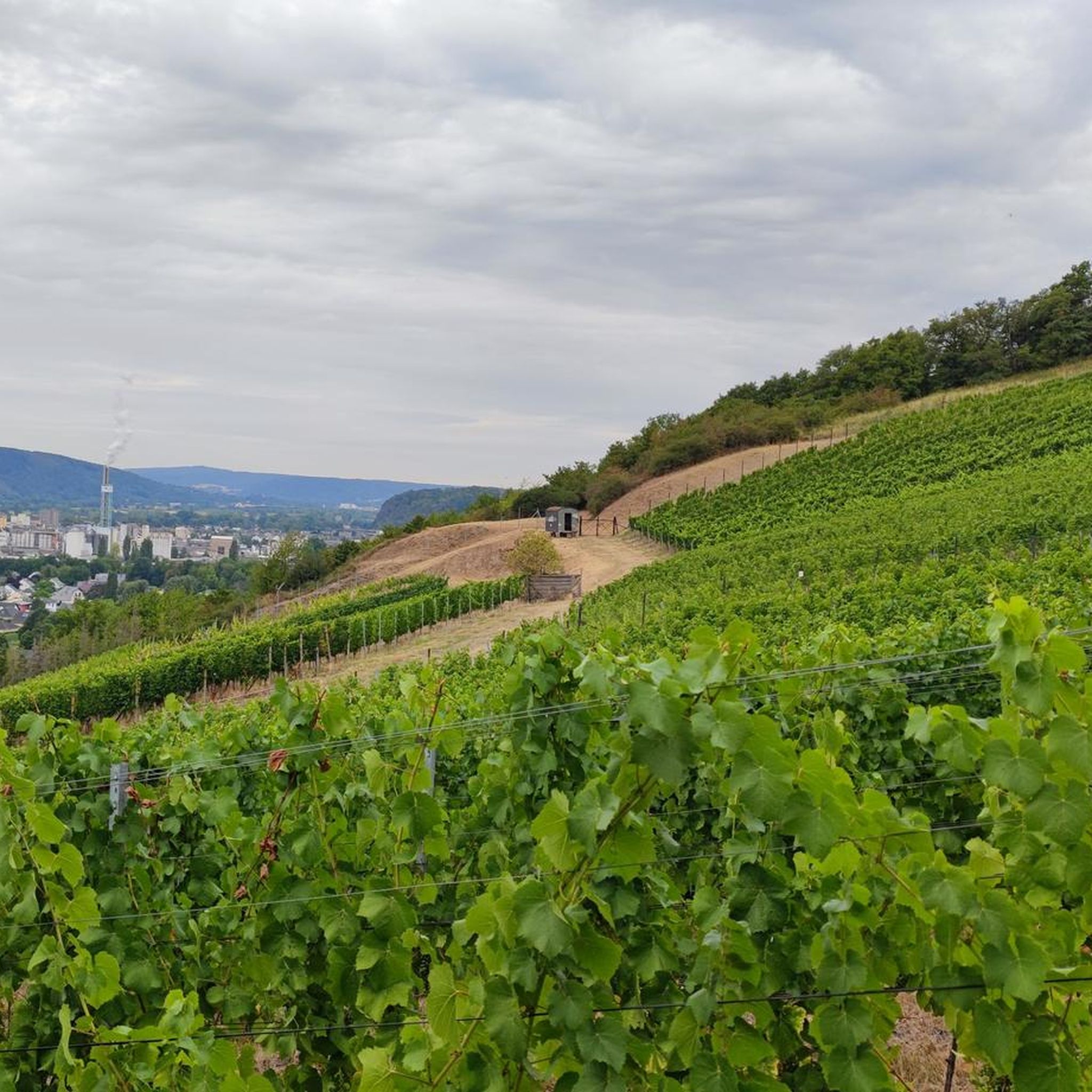
Hiking around Rheinbrohl offers diverse landscapes at the confluence of the Rhine river and the Westerwald region. The area is characterized by rolling hills, dense forests, and historic Roman Limes fortifications. Hikers can explore trails that wind through vineyards and offer views of the Rhine valley, providing varied terrain for outdoor activities.
Best hiking trails around Rheinbrohl
- The most popular hiking route is Beulenberg Roman Watchtower – Malberg Summit loop from Bad Breisig, a 9.5 miles (15.2 km) trail…
Last updated: August 25, 2026
4.7
(103)
322
hikers
15.2km
04:17
330m
330m
Moderate hike. Good fitness required. Easily-accessible paths. Suitable for all skill levels.
4.7
(95)
287
hikers
Moderate hike. Good fitness required. Easily-accessible paths. Suitable for all skill levels.

Sign up for free
4.2
(44)
136
hikers
6.08km
01:42
120m
120m
Easy hike. Great for any fitness level. Easily-accessible paths. Suitable for all skill levels.
4.4
(26)
80
hikers
9.27km
02:36
190m
190m
Moderate hike. Good fitness required. Easily-accessible paths. Suitable for all skill levels.
4.7
(18)
50
hikers
16.0km
04:34
360m
360m
Moderate hike. Good fitness required. Easily-accessible paths. Suitable for all skill levels.
Get access to more routes and recommendations from other explorers.
Sign up for free
Already have an account?
Our route recommendations are based on thousands of hikes, rides, and runs completed by other people on komoot.
Start today with a free account
Your next adventure awaits.
Login or Signup
Popular around Rheinbrohl
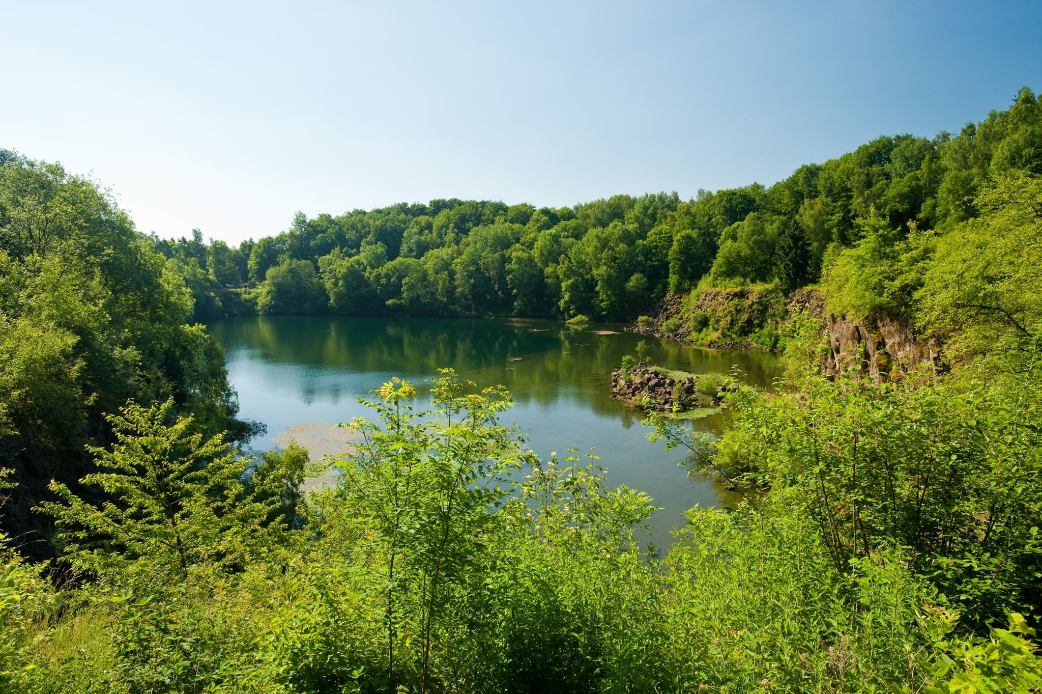
19 short hikes in the Westerwald

German Limes Cycle Path – Riding from the Rhine to the Danube
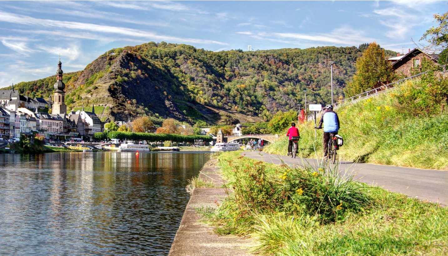
Mehrtagesradtouren in Deutschland und angrenzenden Ländern
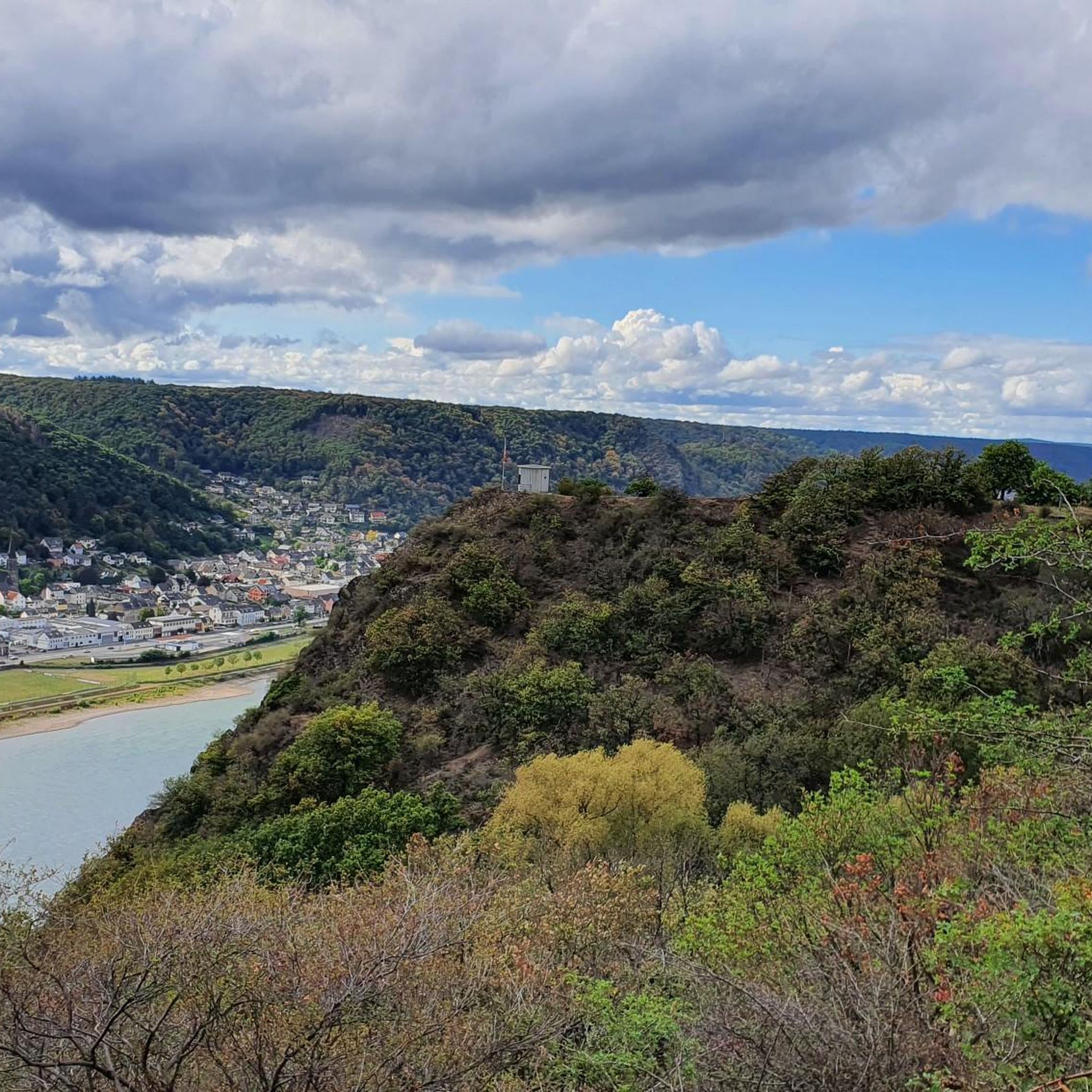
Cycling around Rheinbrohl
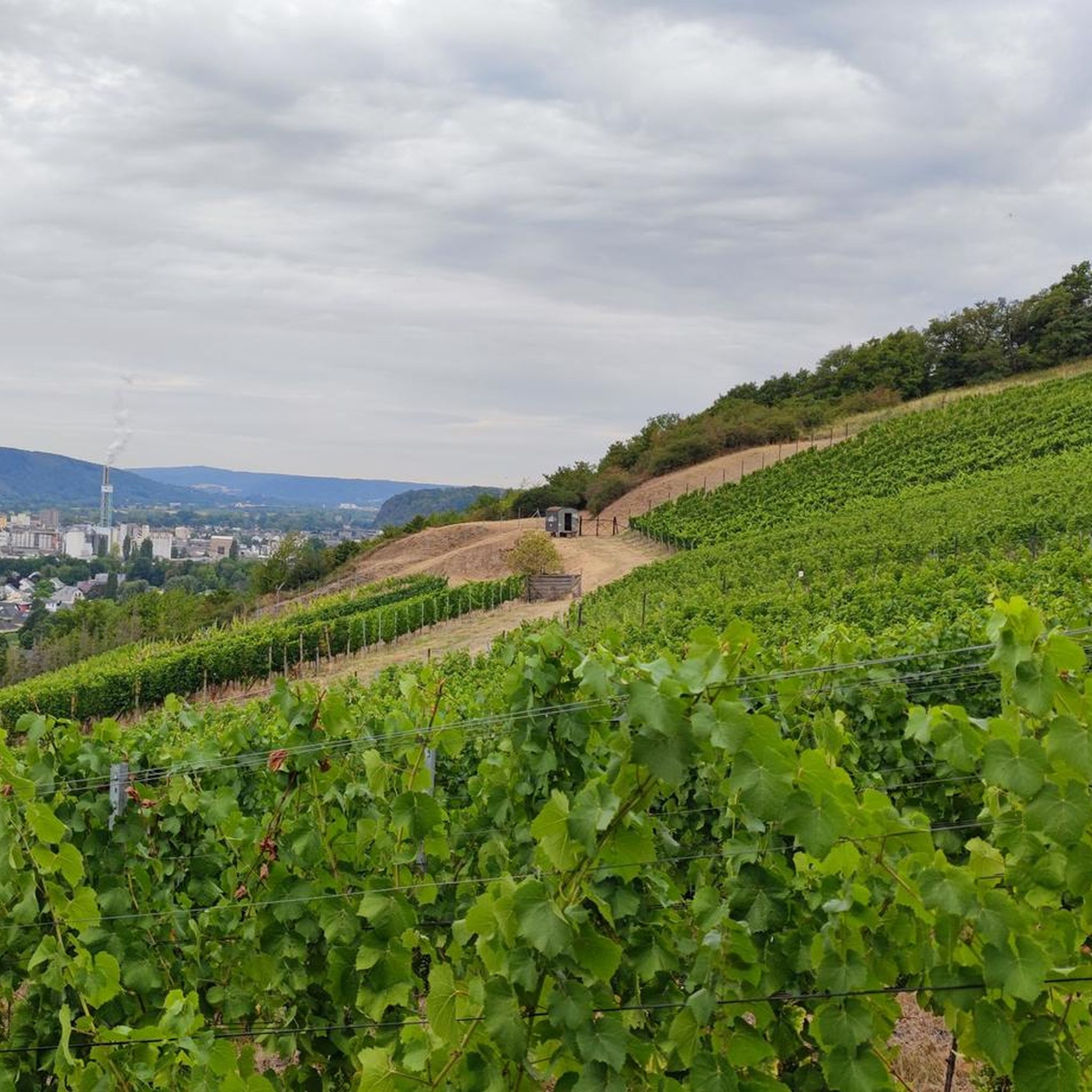
Road Cycling Routes around Rheinbrohl
MTB Trails around Rheinbrohl
Running Trails around Rheinbrohl
Gravel biking around Rheinbrohl
Other adventures around Rheinbrohl


Tips from the Community

Nice that the building is open. A very nice resting place.
0
0
A very quaint section of the path, you can sense that the hollow way is centuries old.
0
0


An old sunken lane is a historic path that has become deeply embedded in the ground over many decades or centuries through constant use and natural erosion. Such paths were primarily formed by pedestrian traffic. https://www.ez-passpa.com
0
0
This place is very nice for picnic https://www.kaisermemberservices.org
0
0
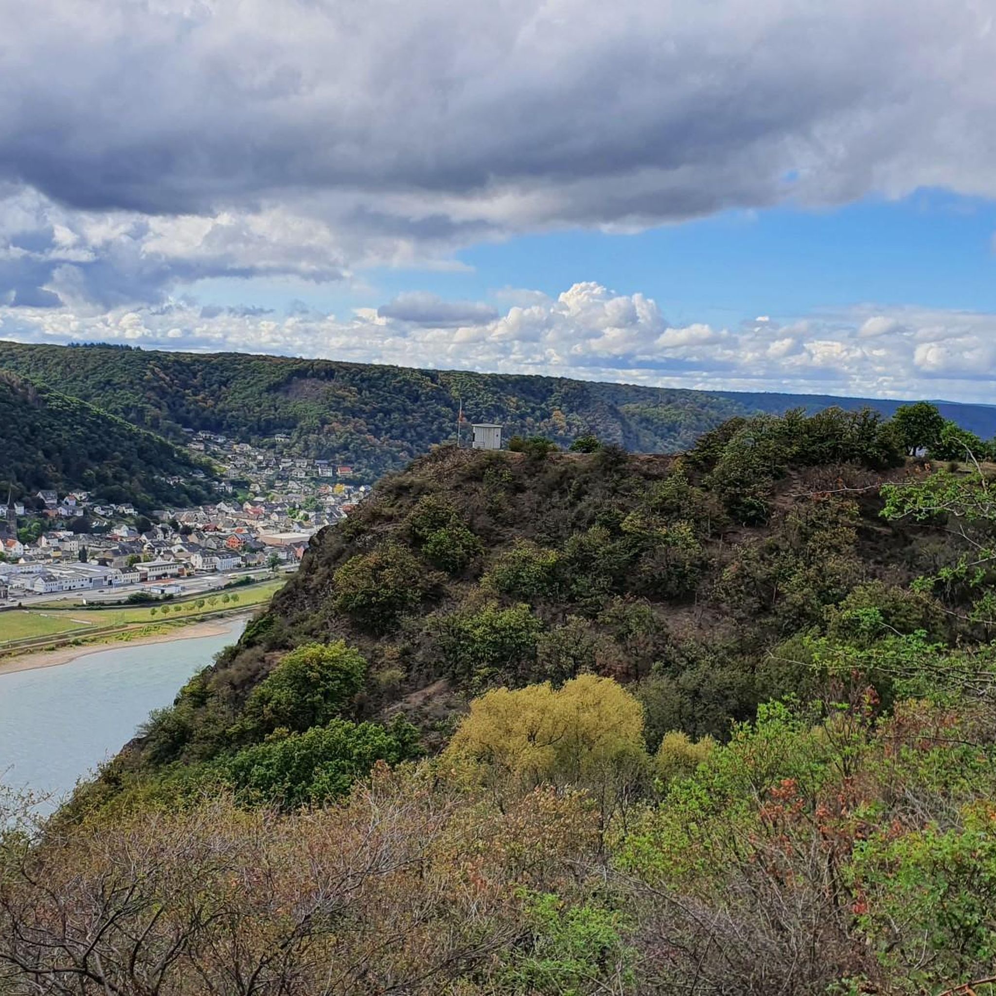
From this vantage point, you have a magnificent view of the Rhine Valley and the rolling hills of the Eifel, a landscape that exudes tranquility and grandeur. You can see the Rhine meandering through the valley, surrounded by lush forests and charming villages.
1
0


great for relaxing
1
1
Frequently Asked Questions
How many hiking trails are available around Rheinbrohl?
There are over 50 hiking trails around Rheinbrohl, offering a diverse range of experiences. These routes traverse the scenic landscapes where the Rhine river meets the Westerwald, featuring rolling hills, dense forests, and historical Roman Limes fortifications.
What types of landscapes can I expect when hiking near Rheinbrohl?
Hiking near Rheinbrohl offers a rich variety of landscapes. You'll encounter the picturesque Rhine river valley, the rolling hills and dense forests of the Westerwald, and charming vineyards. The area is also notable for its historical Roman Limes fortifications, adding a cultural dimension to the natural beauty.
Are there easy hiking trails suitable for beginners in Rheinbrohl?
Yes, Rheinbrohl offers plenty of easy hiking trails perfect for beginners or those looking for a relaxed walk. Out of the total routes, 34 are classified as easy. These often include local loops that provide gentle gradients and scenic views without significant challenges.
What do other hikers say about the trails in Rheinbrohl?
The hiking trails in Rheinbrohl are highly regarded by the komoot community, with an average rating of 4.5 stars from over 1,200 reviews. Hikers frequently praise the diverse landscapes, the well-maintained paths, and the unique blend of natural beauty with historical Roman sites.
When is the best time of year to go hiking in Rheinbrohl?
Rheinbrohl is beautiful for hiking throughout the year, but spring and autumn are particularly recommended. Spring brings the awakening of nature and lush greenery, while autumn offers vibrant colors and the festive atmosphere of wine harvest festivals in the vineyards. Summer is also popular, and winter hikes are possible, though some paths might require appropriate gear.
Are there any circular walks available in Rheinbrohl?
Yes, many of the trails around Rheinbrohl are circular, allowing you to start and end at the same point. For example, the View from Dielsberg loop from Hausen (Wied) is a popular moderate circular path offering panoramic views. Another option is the Dietrich Schareina Trail – Malberg Summit loop from Hausen (Wied), which is an easy circular route.
Are there any long-distance hiking trails accessible from Rheinbrohl?
Rheinbrohl is a significant starting point for two major long-distance trails. It marks the beginning of the UNESCO World Heritage Limes Hiking Trail, where you can explore reconstructed Roman watchtowers. Additionally, Rheinbrohl offers access to sections of the renowned Rheinsteig trail, known for its narrow paths, forests, vineyards, and spectacular views along the Rhine.
What historical sites can I explore while hiking in Rheinbrohl?
Rheinbrohl is rich in Roman history. You can explore remnants of the ancient Roman border wall and reconstructed watchtowers along the Limes Hiking Trail. The 'RömerWeltWeg' is a circular trail that guides visitors from the RömerWelt adventure museum to original Roman occupation sites. The historic town center also features the Roman fort 'Burgus'.
Are there any waterfalls or natural monuments to see near Rheinbrohl?
Yes, there are several natural attractions nearby. You can discover the Waterfall in the Wolfsschlucht or the Wolfsschlucht Gorge and Tönissteiner Bach Waterfall. The Trass Caves Brohltal are also a unique natural monument worth exploring.
Are the hiking trails in Rheinbrohl suitable for families with children?
Many trails around Rheinbrohl are suitable for families, especially the easier local loops. These paths often have moderate elevation gains and offer engaging natural and historical points of interest, such as the Roman Limes sites, which can be educational and fun for children.
Can I bring my dog on the hiking trails in Rheinbrohl?
Generally, dogs are welcome on the hiking trails around Rheinbrohl. The natural environment of forests and open paths provides a great setting for walks with your canine companion. However, it's always advisable to keep dogs on a leash, especially in nature reserves or near livestock, and to check local regulations for specific areas.
What are the typical distances and durations for hikes in Rheinbrohl?
Hikes in Rheinbrohl vary widely in length and duration. You can find shorter, easy loops like the Dietrich Schareina Trail – Malberg Summit loop from Hausen (Wied), which is about 3.8 miles (6.1 km) and takes under 2 hours. Moderate trails, such as the Beulenberg Roman Watchtower – Malberg Summit loop from Bad Hönningen, can be around 8.7 miles (14.1 km) and take approximately 4 hours.
Most popular routes around Rheinbrohl
Most popular attractions around Rheinbrohl

Get inspired with the komoot mobile app


Explore more
Browse the best Hikes in other regions.
