The best cycling routes in Forêt Communale De Saint-Dié-Des-Vosges
4.5
(205)
1,787
riders
213
rides
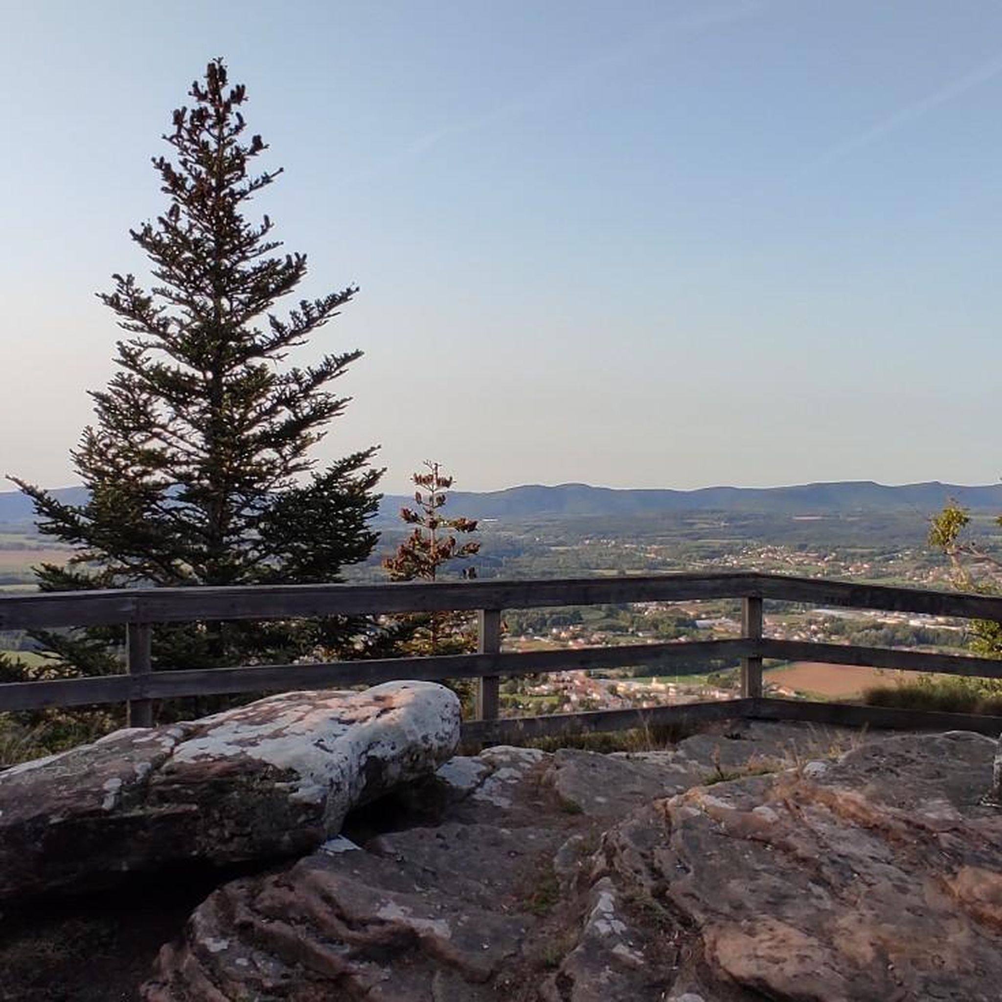
Touring cycling routes in Forêt Communale De Saint-Dié-Des-Vosges traverse a diverse landscape characterized by five distinct massifs: La Bure, L'Ormont, Le Kemberg, La Madeleine, and La Tête de Saint-Roch. This extensive forest features varied terrain, from easily accessible paths to more challenging routes with significant elevation gains. Cyclists can explore approximately 65 km of forest roads, encountering summital rocks that offer expansive viewpoints and picturesque waterfalls.
Best touring cycling routes in Forêt Communale De Saint-Dié-Des-Vosges
- The most popular touring cycling route is Bike loop from Massif du Kemberg, a 15.9 miles (25.6 km) trail that takes 2 hours 5 minutes to complete. This difficult route features notable elevation changes within the Kemberg massif.
- Another top favourite among local touring cyclists is Bike loop from Saint-Dié-des-Vosges, a moderate 8.5 miles (13.7 km) path. This route offers a balanced ride with moderate climbs and descents around the town.
- Local touring cyclists also love the Chipotte Pass – Abbaye Notre-Dame d'Autrey loop from St-Michel-sur-Meurthe, a 34.5 miles (55.5 km) trail leading through varied forest and rural landscapes, often completed in about 3 hours 31 minutes.
- Touring cycling in Forêt Communale De Saint-Dié-Des-Vosges is defined by diverse massifs, extensive forest roads, and rocky viewpoints, with options available for easy, moderate, and difficult ability levels.
- The routes in Forêt Communale De Saint-Dié-Des-Vosges are highly rated by the komoot community with an average score of 4.5 stars from over 250 reviews. More than 2,700 touring cyclists have used komoot to explore Forêt Communale De Saint-Dié-Des-Vosges's varied terrain.
Last updated: August 28, 2026
4.2
(9)
76
riders
25.6km
02:05
580m
580m
Hard bike ride. Very good fitness required. Mostly paved surfaces. Suitable for all skill levels.
50
riders
Hard bike ride. Very good fitness required. Mostly paved surfaces. Suitable for all skill levels.

Sign up for free
5.0
(3)
19
riders
Hard bike ride. Very good fitness required. Mostly paved surfaces. Suitable for all skill levels.
4.0
(2)
25
riders
41.4km
02:55
790m
790m
Hard bike ride. Very good fitness required. Mostly paved surfaces. Suitable for all skill levels.
5.0
(3)
15
riders
48.3km
03:18
780m
780m
Hard bike ride. Very good fitness required. Mostly paved surfaces. Suitable for all skill levels.
Get access to more routes and recommendations from other explorers.
Sign up for free
Already have an account?
Our route recommendations are based on thousands of hikes, rides, and runs completed by other people on komoot.
Start today with a free account
Your next adventure awaits.
Login or Signup
Popular around Forêt Communale De Saint-Dié-Des-Vosges
Tips from the Community

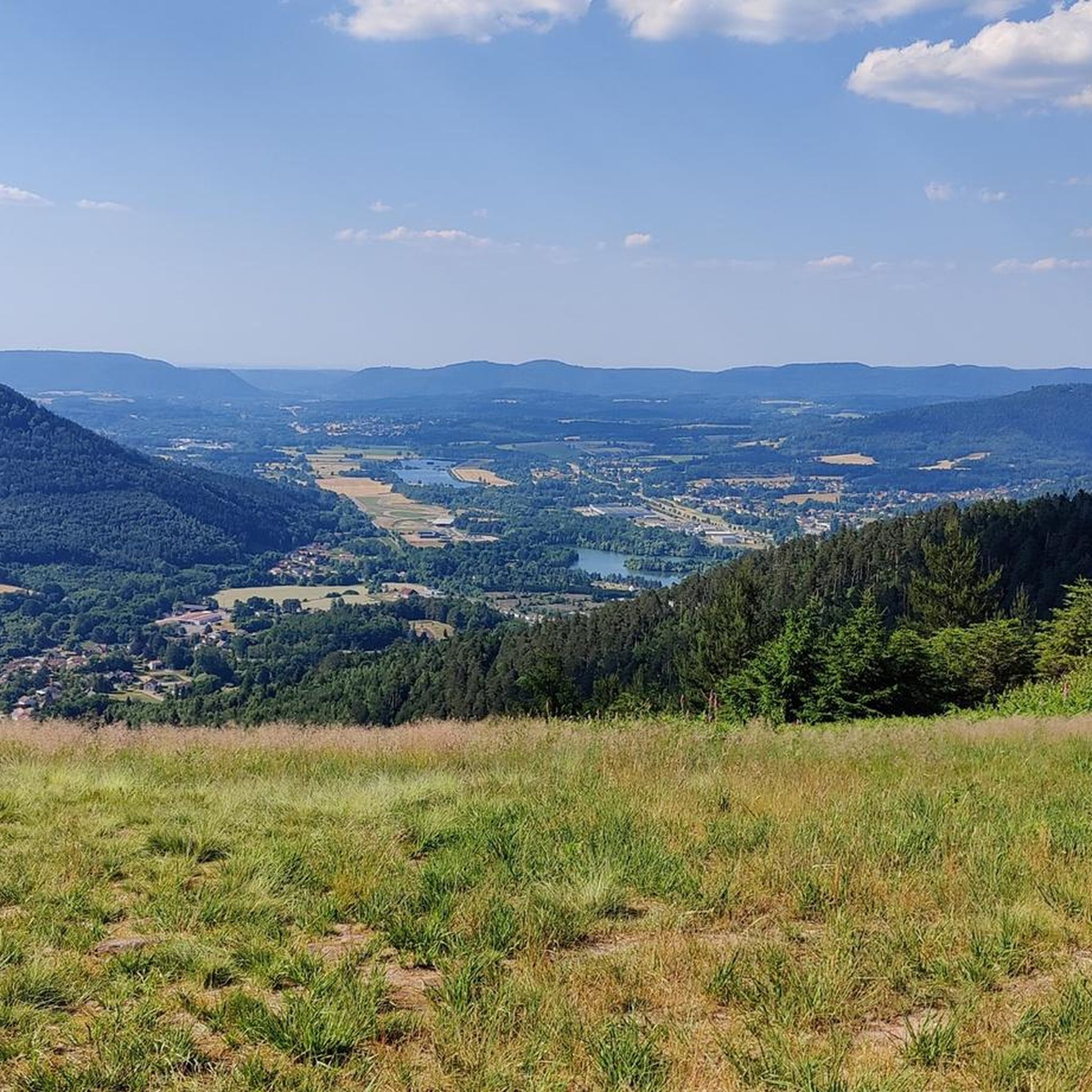
Beautiful forest road, little traffic on weekends.
0
0

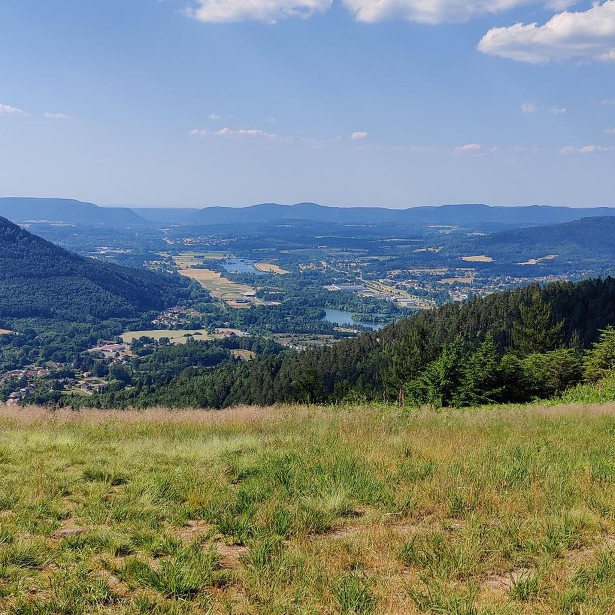
Tête de Répy is one of the many wooded peaks in the Madeleine massif. Well known to hikers, it offers beautiful views over the Meurthe valley and the Vosges mountains.
0
0


Historic village in the Vosges Ban-de-Sapt is located on a strategic height in the Vosges and was the scene of fierce fighting during WWI, especially around the côte 627. Today it is a peaceful place with a rich culture of remembrance. The Nécropole nationale de la Fontenelle, original trenches, a panoramic table and a rare steel observation capsule from WWI make the village a unique destination for those who want to combine nature and history.
7
0

Étival Abbey is one of the region's three abbeys, along with Moyenmoutier and Senones. The Romanesque church was destroyed by German troops in 1944 and was soon beautifully rebuilt with beautiful stained-glass windows. A truly remarkable church. The former cloister is still visible, and there's a lovely herb garden.
0
0

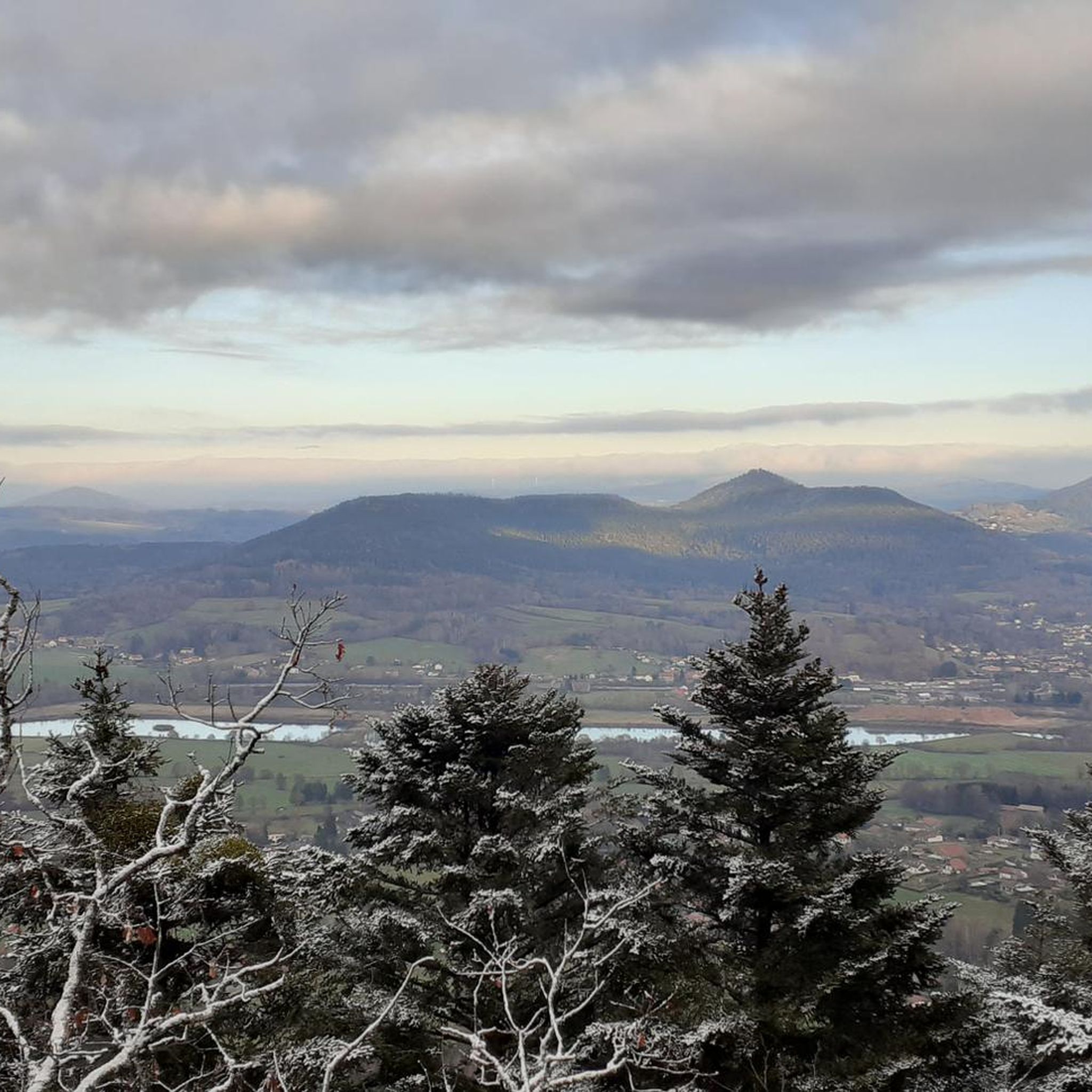
Quiet, excellent road surface, nice climb
0
0

Magnificent Roche St Martin
4
1
Frequently Asked Questions
How many touring cycling routes are available in Forêt Communale De Saint-Dié-Des-Vosges?
There are over 200 touring cycling routes in Forêt Communale De Saint-Dié-Des-Vosges, offering a wide range of options for different skill levels. You'll find 23 easy routes, 78 moderate routes, and 116 difficult routes to explore.
What kind of terrain can I expect on the touring cycling routes?
The Forêt Communale De Saint-Dié-Des-Vosges features diverse terrain across its five massifs: La Bure, L'Ormont, Le Kemberg, La Madeleine, and La Tête de Saint-Roch. You can expect varied paths, from easily accessible forest roads to more challenging routes with significant elevation changes. Approximately 65 km of forest roads are available, some of which are designated for tranquility and closed to general traffic.
Are there any challenging touring cycling routes for experienced riders?
Yes, Forêt Communale De Saint-Dié-Des-Vosges offers many challenging routes. For example, the Chipotte Pass – Abbaye Notre-Dame d'Autrey loop from St-Michel-sur-Meurthe is a difficult 55.5 km trail leading through varied forest and rural landscapes. Another demanding option is the Anozel Pass – Usine Le Corbusier loop from Saint-Dié-des-Vosges, covering 48.7 km with notable elevation.
Can I find routes with scenic viewpoints in the forest?
Absolutely. The forest is known for its 'roches sommitales' (summital rocks) throughout its sandstone massifs, which offer exceptional viewpoints over the territory. These are often integrated into cycling paths, providing picturesque stops and stunning vistas.
Are there any historical or natural landmarks to see along the routes?
Yes, the forest is rich in both natural and historical attractions. You can encounter sites like La Chaise du Roi, a wooded rocky promontory with views of the Taintroué valley, and classified sites such as Roche des Corbeaux, Roche des Fées, and Roche Saint Martin. The Camp Celtique, an archaeological site in the La Bure massif, is also classified as a historical monument.
What do other touring cyclists say about the routes in Forêt Communale De Saint-Dié-Des-Vosges?
The routes in Forêt Communale De Saint-Dié-Des-Vosges are highly rated by the komoot community, with an average score of 4.5 stars from over 250 reviews. Cyclists often praise the diverse landscapes, the extensive network of forest roads, and the variety of options available for different skill levels.
Are there any moderate touring cycling routes suitable for a balanced ride?
Yes, for a balanced ride with moderate climbs and descents, consider the Bike loop from Saint-Dié-des-Vosges. This route is 13.7 km long and offers a pleasant experience around the town and into the forest.
Are there circular touring cycling routes available?
Many of the touring cycling routes in Forêt Communale De Saint-Dié-Des-Vosges are designed as loops, allowing you to start and end at the same point. Examples include the popular Bike loop from Massif du Kemberg and the Bike loop from Saint-Dié-des-Vosges.
Is the Forêt Communale De Saint-Dié-Des-Vosges considered a significant natural area?
Yes, the Forêt Communale De Saint-Dié-Des-Vosges is recognized for its 'remarkable flora and fauna' and is considered a 'green lung of the Grand Est' region. Its natural vitality is further highlighted by the presence of 23 sources within the forest.
What is the best time of year to go touring cycling in Forêt Communale De Saint-Dié-Des-Vosges?
The diverse landscapes and extensive network of paths make touring cycling enjoyable throughout much of the year. Spring and autumn offer pleasant temperatures and beautiful scenery with changing foliage. Summer is also popular, though some routes might be more exposed to sun. Winter cycling is possible, but conditions can vary, so checking local weather and trail status is advisable.
Are there any routes that pass by notable architectural sites?
Yes, some routes incorporate nearby architectural interest. For instance, the Sainte-Catherine Church – Saint-Dié Cathedral loop from Saint-Dié-des-Vosges is a difficult 42.8 km route that takes you past significant religious buildings in the area.
Most popular routes in Forêt Communale De Saint-Dié-Des-Vosges

Get inspired with the komoot mobile app


Explore more
Browse the best Cycling routes in other regions.
