The best road cycling routes in Forêt Communale De Saint-Dié-Des-Vosges
4.1
(299)
3,119
riders
183
rides
Road cycling routes in Forêt Communale De Saint-Dié-Des-Vosges traverse a diverse landscape characterized by five distinct massifs, including la Bure and l'Ormont. The region offers varied terrain with significant elevation changes, making it suitable for different fitness levels. Cyclists can expect mostly paved surfaces and numerous viewpoints across the territory, including those overlooking the Taintroué valley. The forest's peri-urban nature ensures accessibility while providing a natural setting for road bike trails.
Best road cycling routes in Forêt Communale De Saint-Dié-Des-Vosges
…Last updated: August 28, 2026
4.6
(15)
157
riders
78.4km
03:40
780m
780m
Moderate road ride. Good fitness required. Some segments of this route may be unpaved and difficult to ride.
2.9
(14)
81
riders
58.5km
02:37
610m
610m
Moderate road ride. Good fitness required. Mostly well-paved surfaces and easy to ride.

Sign up for free
4.6
(5)
45
riders
Moderate road ride. Good fitness required. Mostly well-paved surfaces and easy to ride.
3.5
(4)
31
riders
47.0km
02:04
430m
430m
Moderate road ride. Good fitness required. Mostly well-paved surfaces and easy to ride.
31
riders
32.0km
01:28
310m
320m
Moderate road ride. Good fitness required. Mostly well-paved surfaces and easy to ride.
Get access to more routes and recommendations from other explorers.
Sign up for free
Already have an account?
Our route recommendations are based on thousands of hikes, rides, and runs completed by other people on komoot.
Start today with a free account
Your next adventure awaits.
Login or Signup
Popular around Forêt Communale De Saint-Dié-Des-Vosges
Tips from the Community

Beautiful forest road, little traffic on weekends.
0
0

It is located on the left bank of the Meurthe, at number 14 rue Denfert-Rochereau. The Saint-Georges church is the church of La Neuveville-lès-Raon, which merged with Raon-l'Etape in 1947. It was built between 1835 and 1838 according to the plans of the district architect Boucher de Saint-Dié. The church was fitted out in 1894. In 1905 the dome was rebuilt. From 1973 to 1978, major restoration work was carried out, both interior and exterior. Inside, among other things, there is an old statue of Our Lady of Sorrows, a painting of Saint Nicholas, who is also the patron saint of wood-floaters, a painted wooden Christ, and a memorial chapel (1922).
0
0

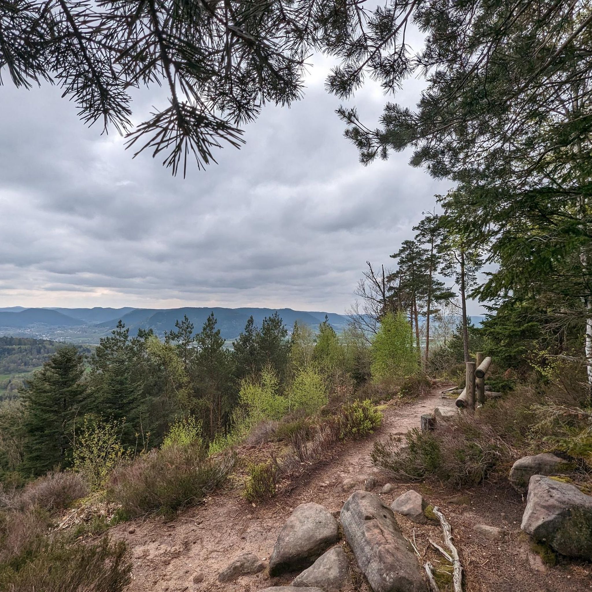
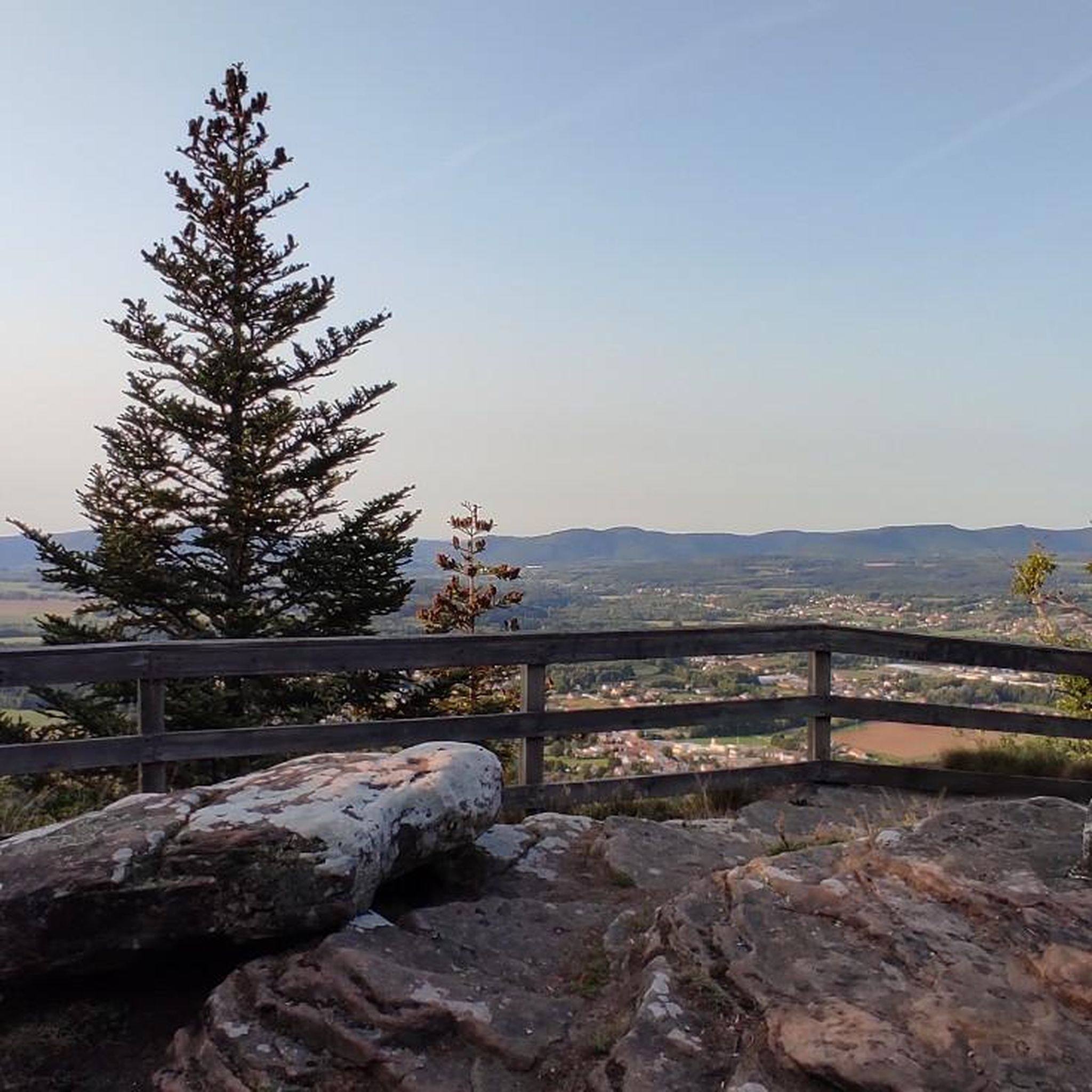
yes up there you have a good view
2
0

The Meurthe is the 3rd largest tributary of the Moselle, after the Saar and the Sauer. Its source is near the Col de la Schlucht, in the municipality of Le Valentin. After approx. 20 km, the Meurthe reaches Saint-Dié-des-Vosges. After 160 km, it flows into the Moselle north of Nancy.
0
0

Beautiful hiking destination, there is also a cycling route
0
0

A long and beautiful forest road. However, it's bumpy in places on a road bike!
0
0

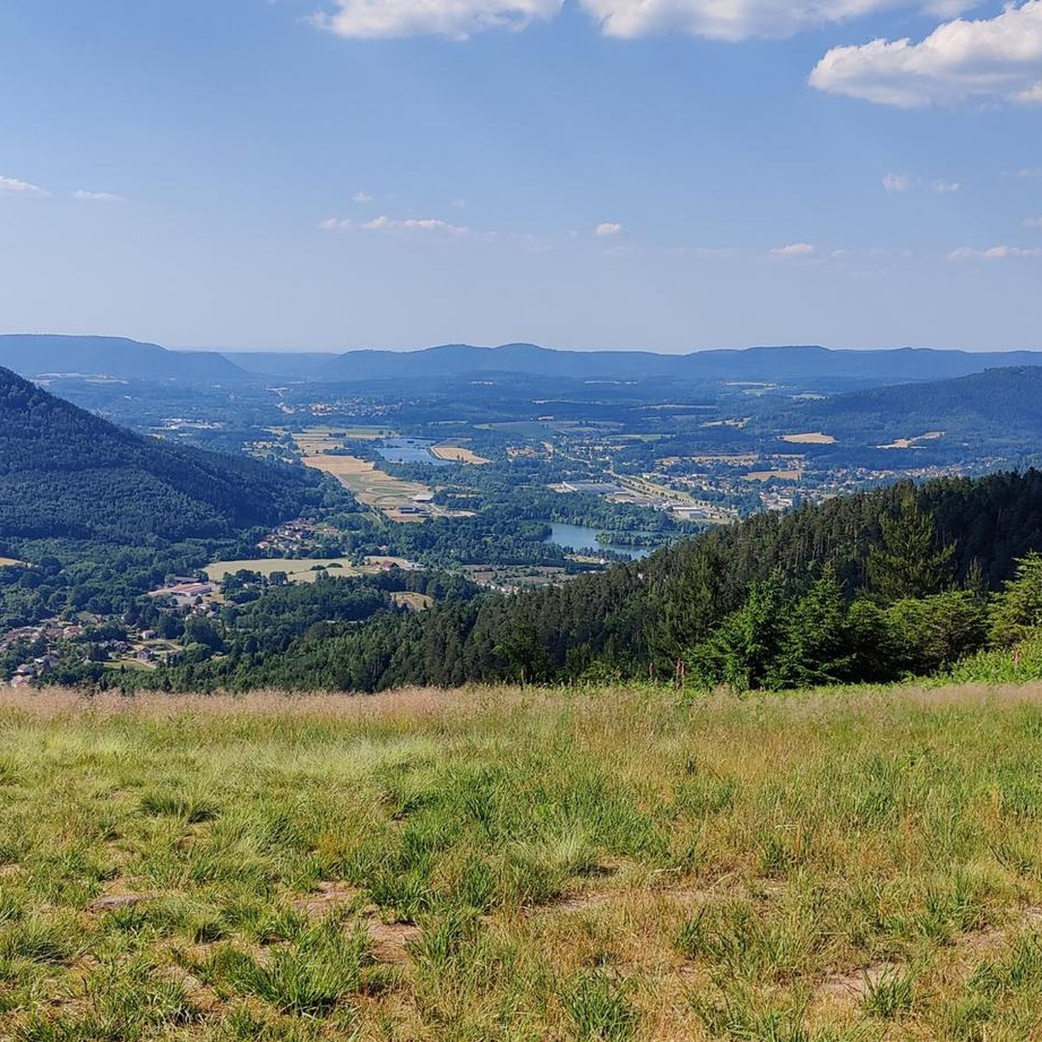
Beautiful climb and lovely view at the pass - Altitude 728m Restaurants (inns) at the pass
0
0

La Petite-Fosse – Front village with memory This small village in the Vosges (altitude: 440–870 m) has barely 80 inhabitants, but played a prominent role during the First World War. The western front line ran right through the village, with heavy fighting around the nearby Spitzenberg. For its courageous resistance, La Petite-Fosse was awarded the Croix de Guerre in 1920. Today it is a peaceful place with a view of the surrounding mountains.
4
0
Frequently Asked Questions
How many road cycling routes are available in Forêt Communale De Saint-Dié-Des-Vosges?
There are over 160 road cycling routes in the Forêt Communale De Saint-Dié-Des-Vosges, catering to a wide range of abilities. This includes 24 easy routes, 105 moderate routes, and 37 difficult routes, ensuring options for every cyclist.
What kind of terrain can I expect on road cycling routes in this region?
The Forêt Communale De Saint-Dié-Des-Vosges offers varied terrain, from shaded forest roads to ascents with rewarding panoramic views. You'll encounter undulating topography characteristic of the Vosges massif, with significant elevation changes that appeal to those seeking a physical challenge. Routes often feature well-maintained forest roads and mostly paved surfaces.
Are there any routes suitable for beginners or those looking for an easier ride?
Yes, the region offers 24 easy road cycling routes. These trails typically feature less elevation gain and shorter distances, providing a pleasant experience for beginners or those preferring a more relaxed pace. While specific beginner routes are not highlighted here, you can filter for 'easy' routes on komoot to find suitable options.
What are some notable natural features or landmarks I can see while cycling?
The forest is rich in natural beauty and offers several points of interest. You can find remarkable viewpoints, especially atop rocky outcrops in massifs like the Kemberg, offering expansive views of the Vosgian landscape. The region is also known for its imposing rocky formations, such as the Roche de l'Enclume and Roche de la Pierre Percée, which provide dramatic backdrops to your ride.
Are there any loop routes for road cyclists?
Yes, many road cycling routes in the Forêt Communale De Saint-Dié-Des-Vosges are designed as loops. For example, the Rabodeau Valley – Prayé Forest Road loop from St-Michel-sur-Meurthe is a popular moderate route covering 78.4 km. Another great option is the Fave Valley – Saint-Dié Cathedral loop from St-Michel-sur-Meurthe, a 58.4 km moderate path offering scenic views.
What do other cyclists say about road biking in Forêt Communale De Saint-Dié-Des-Vosges?
The road cycling routes in Forêt Communale De Saint-Dié-Des-Vosges are highly rated by the komoot community, with an average score of 4.1 stars from over 230 reviews. Cyclists often praise the diverse landscapes, the blend of challenging ascents and scenic descents, and the tranquility of the forest roads. Many appreciate the well-maintained surfaces and the rewarding panoramic views.
When is the best time of year to go road cycling in this area?
The best time for road cycling in Forêt Communale De Saint-Dié-Des-Vosges is generally from spring through autumn. During these seasons, the weather is more favorable, and the forest's diverse flora is at its most vibrant. The presence of ancient fir forests provides shaded routes, which can be particularly pleasant during warmer months.
Are there any routes that offer significant climbs for experienced road cyclists?
Absolutely. The region, being part of the Vosges massif, features routes with significant elevation changes that will appeal to experienced cyclists. The Col du Plafond – Col de Mandray loop from St-Michel-sur-Meurthe is a challenging 69.9 km route leading through mountain passes, offering substantial climbs and descents.
Are there any family-friendly road cycling options?
While many routes involve significant elevation, the 24 easy routes available are generally more suitable for families or those cycling with children. These routes tend to be shorter and have less demanding climbs, allowing for a more relaxed and enjoyable family outing. It's recommended to check the specific route profiles for elevation and distance to ensure it matches your family's ability.
Where can I find parking for road cycling routes in the Forêt Communale De Saint-Dié-Des-Vosges?
Given the forest's peri-urban nature, there are various access points and parking opportunities, especially near the starting points of popular routes or in nearby towns like St-Michel-sur-Meurthe. Many routes begin from easily accessible locations, and local amenities often include parking facilities. It's advisable to check the specific route details on komoot for recommended starting points and parking information.
Are there any cafes or places to stop for refreshments along the routes?
While the forest itself is a natural setting, its proximity to towns and villages means that cafes, pubs, and accommodation options are generally accessible. Cyclists often find amenities in St-Michel-sur-Meurthe, which serves as a common starting point for many routes, or in other nearby communes. Planning your route with potential stops in mind is recommended.
Most popular routes in Forêt Communale De Saint-Dié-Des-Vosges

Get inspired with the komoot mobile app


Explore more
Browse the best Road cycling routes in other regions.
