The best walks and hikes in Geisaer Stadtwald
4.6
(4453)
14,208
hikers
725
hikes
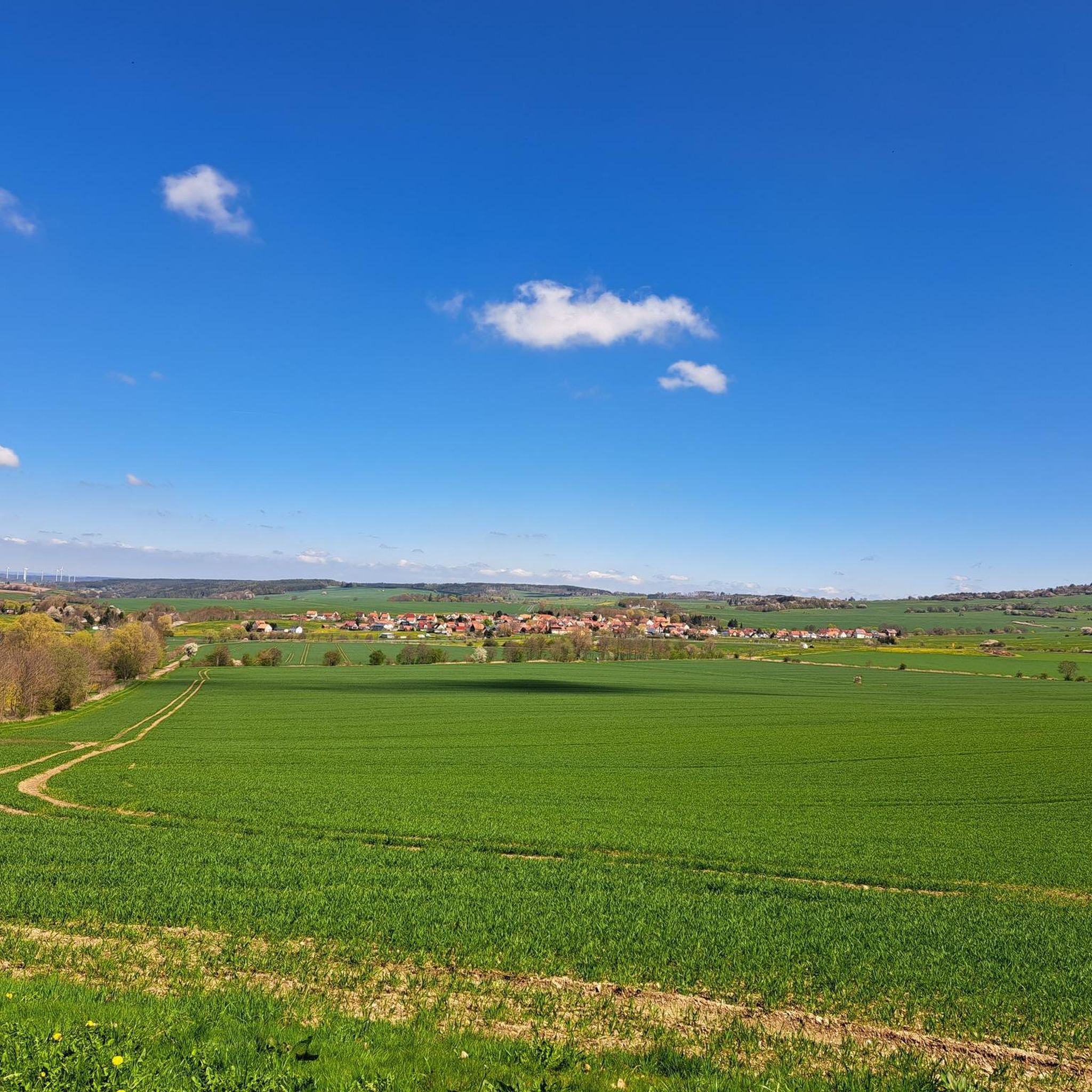
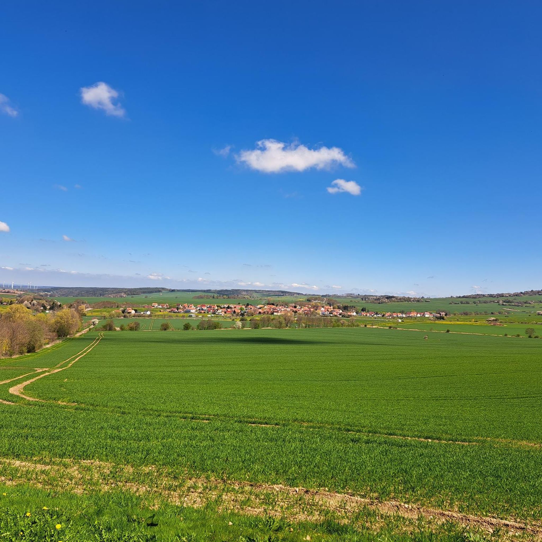
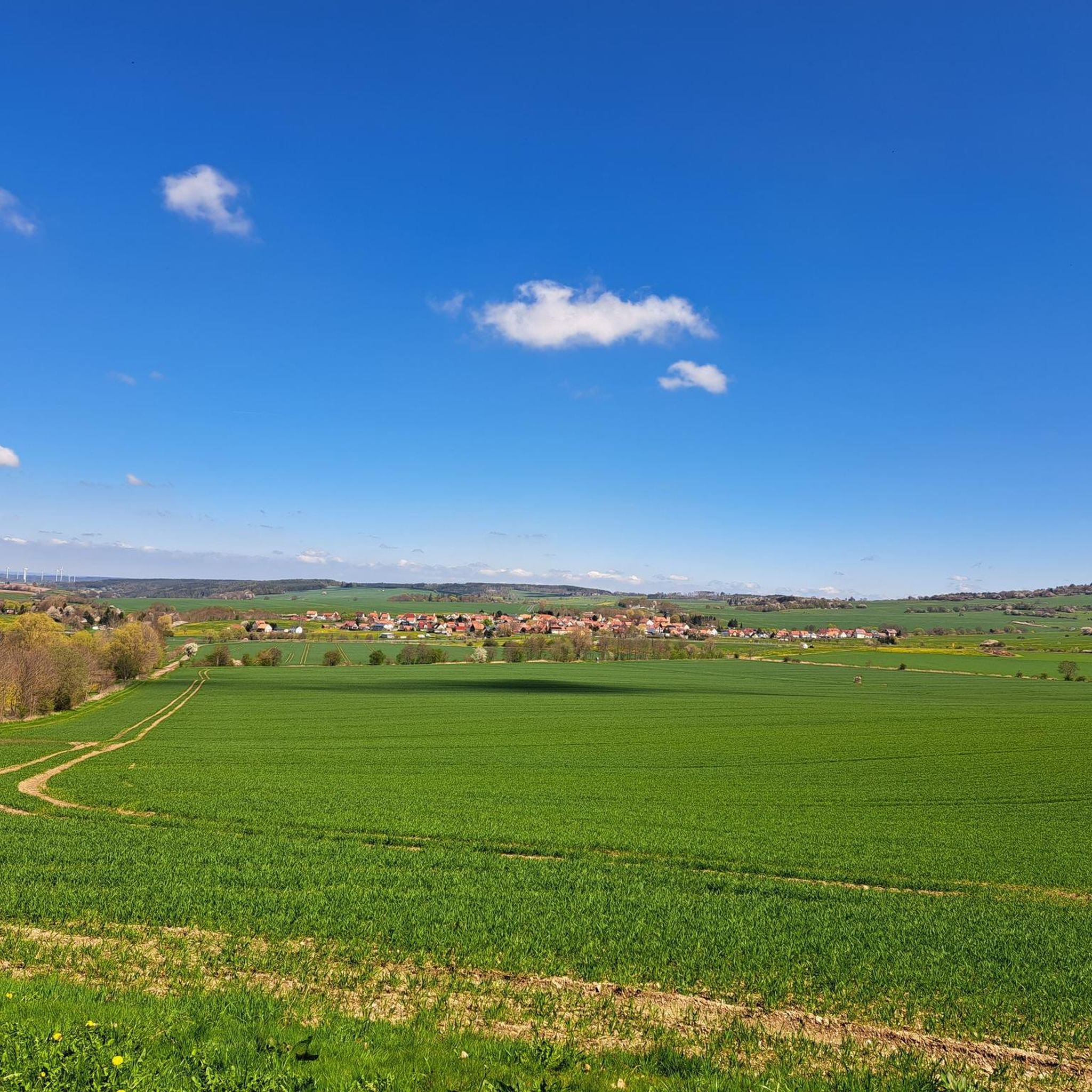
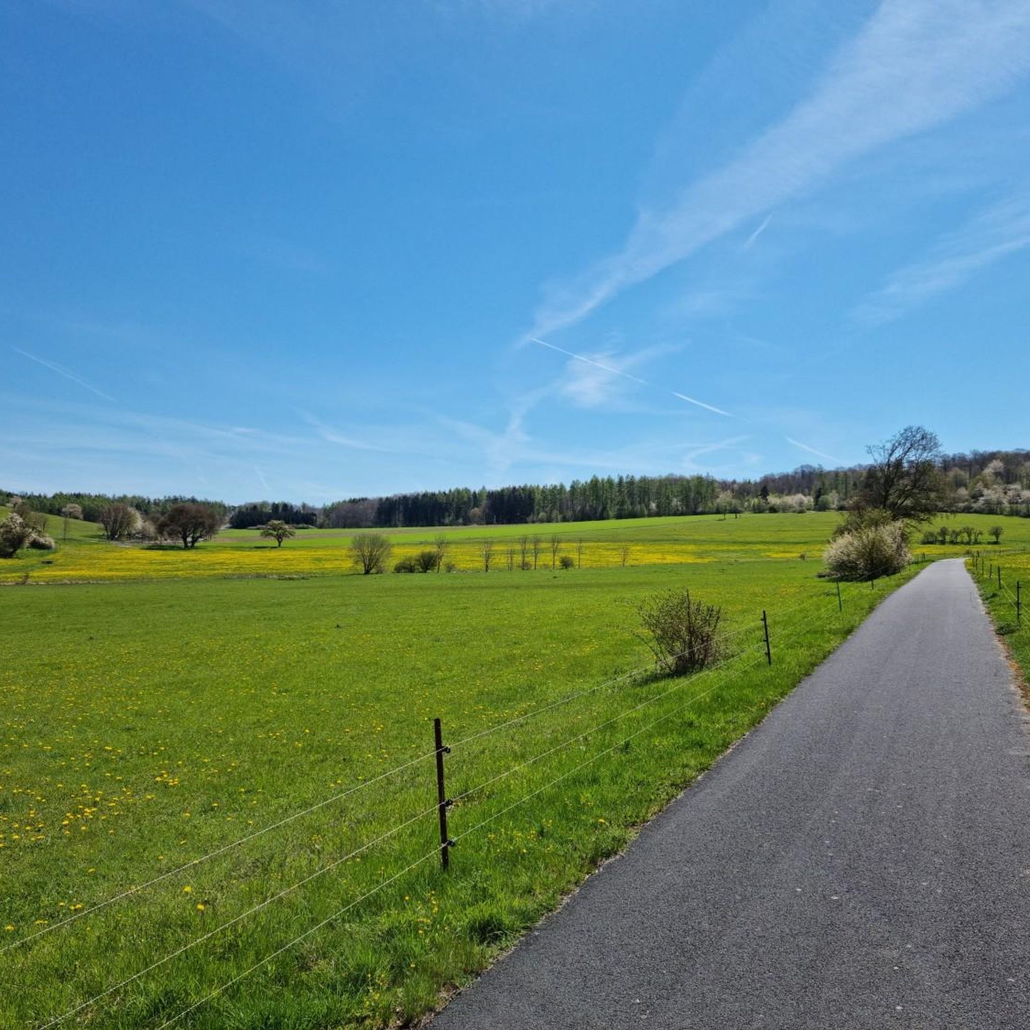
Hiking in Geisaer Stadtwald offers diverse landscapes within the Rhön Biosphere Reserve, characterized by dense forests, including old beech stands and mixed beech forests. The terrain features unique geological formations such as basalt block fields, juniper heaths, and calcareous grasslands. The region's volcanic past contributes to its distinctly hilly nature, providing varied routes for outdoor enthusiasts. Hikers can find panoramic views encompassing the Ulstertal and Kohlbachstal, as well as the rolling hills of the Vorderrhön.
Best hiking trails in Geisaer…
Last updated: October 5, 2026
4.8
(161)
471
hikers
5.42km
01:32
120m
120m
Easy hike. Great for any fitness level. Easily-accessible paths. Suitable for all skill levels.
4.9
(8)
20
hikers
4.58km
01:19
110m
110m
Easy hike. Great for any fitness level. Easily-accessible paths. Suitable for all skill levels.

3.4
(5)
23
hikers
13.7km
03:57
340m
340m
Moderate hike. Good fitness required. Easily-accessible paths. Suitable for all skill levels.
5.0
(3)
20
hikers
4.19km
01:13
120m
120m
Easy hike. Great for any fitness level. Easily-accessible paths. Suitable for all skill levels.
4.3
(4)
15
hikers
5.25km
01:34
170m
170m
Easy hike. Great for any fitness level. Easily-accessible paths. Suitable for all skill levels.
Get access to more routes and recommendations from other explorers.
Already have an account?
Our route recommendations are based on thousands of hikes, rides, and runs completed by other people on komoot.
Start today with a free account
Your next adventure awaits.
Tips from the Community


Very interesting where the stamp box is located. I just hoped that I could reach the box without falling into the water.
0
0

First, it goes through the forest. You don't expect anything bad and suddenly the view opens up over idyllic villages, mountains, and distant neighboring mountain ranges like the Knüll, for example. Surprise successful.
0
0

Sit down and enjoy the silence.
1
0

The playground is currently unavailable due to logging work
0
0
A very nice idea
0
0
A very nice trail, but after about 10 minutes we gave up trying to find stamp point 289. NOTE! We did find it after all, on the terrace of the first house in Zitters. It was probably relocated there because there's forestry work going on at the original stamp point.
0
0

Stamping point with increased difficulty: You must first cross the water. There is no bridge.
0
0
Frequently Asked Questions
How many hiking trails are available in Geisaer Stadtwald?
Geisaer Stadtwald offers a wide variety of hiking experiences, with over 700 trails to choose from. These routes cater to all levels, including easy, moderate, and difficult options.
What kind of landscapes can I expect to see while hiking in Geisaer Stadtwald?
The region, part of the UNESCO Biosphere Reserve Rhön, is known as the 'Land of Open Distances'. You'll encounter expansive views, high moors, vibrant mountain meadows rich in diverse flora, and significant beech forests. The terrain is distinctly hilly, shaped by its volcanic past, and you might even spot indigenous Rhön sheep.
Are there family-friendly hiking options in Geisaer Stadtwald?
Yes, Geisaer Stadtwald is very family-friendly. Trails like the Family hiking trail Guck- und Putschelweg are designed with children in mind, often featuring fairy tale themes, playgrounds, and picnic spots. You can also find highlights like the Stamping Point 289 Playground Kohlbach along some routes.
What are some notable attractions or landmarks I can discover on a hike?
Many trails offer interesting sights. You can find unique highlights such as the Gnome Loo Stamp Station 290 or the Gnome in the Outhouse on the Guck- und Putschelweg Schleid. Some routes also pass by historical sites related to the former inner-German border, like the 'Path of Unity' or the 'Green Belt'.
Are there any circular hiking routes in the area?
Yes, many trails in Geisaer Stadtwald are circular, allowing you to start and end at the same point. An example is the Roßbergkanzel Viewpoint – Water Playground Zitters loop from Geisa, which offers splendid views and passes a water playground.
When is the best time of year to go hiking in Geisaer Stadtwald?
The best times to visit for hiking are spring and autumn. In spring, nature is in full bloom, while autumn offers a vibrant array of colors. Both seasons provide pleasant temperatures and an inviting atmosphere for exploring the trails.
Can I bring my dog on the hiking trails in Geisaer Stadtwald?
The Rhön region is generally welcoming to dogs, and many trails in Geisaer Stadtwald are suitable for hiking with your canine companion. Always ensure your dog is on a leash, especially in nature reserve areas, and be mindful of local regulations.
Are there easy hiking trails suitable for beginners?
Absolutely. Geisaer Stadtwald has over 340 easy routes, perfect for beginners or those looking for a relaxed walk. The Pippi Longstocking Rest Area – Witch's Well, Kranlucken loop from Kranlucken is an easy 2.9-mile trail that takes about 1 hour 20 minutes to complete.
What makes the Geisaer Stadtwald region unique for hiking?
Its uniqueness stems from being part of the UNESCO Biosphere Reserve Rhön, known for its 'Land of Open Distances' with expansive views, ancient volcanic craters, and a rich ecological corridor along the former inner-German border (the 'Green Belt'). The blend of natural beauty and historical significance offers a distinctive hiking experience.
Where can I find parking for hiking trails in Geisaer Stadtwald?
While specific parking locations vary by trailhead, many popular starting points for trails in Geisaer Stadtwald and the surrounding Rhön region offer designated parking areas. It's advisable to check the details for your chosen route on komoot for specific parking information.
What do other hikers say about the trails in Geisaer Stadtwald?
The trails in Geisaer Stadtwald are highly rated by the komoot community, with an average score of 4.6 stars from over 3,400 reviews. Hikers often praise the diverse landscapes, well-maintained paths, and the unique blend of nature and history found along the routes.
Are there options for longer, more challenging hikes?
Yes, for those seeking more challenging adventures, Geisaer Stadtwald offers over 340 moderate and 35 difficult routes. These trails often feature greater elevation changes and cover longer distances, providing a more strenuous workout while still showcasing the region's beauty.
Can I find places to eat or stay near the hiking trails?
The Rhön region, including areas around Geisaer Stadtwald, has various guesthouses, restaurants, and cafes. While specific establishments are not listed here, you can often find options in nearby towns and villages to refuel or stay overnight after your hike.
Most popular routes in Geisaer Stadtwald
Most popular attractions in Geisaer Stadtwald

Get inspired with the komoot mobile app


Explore more
Browse the best Hikes in other regions.
