The best running trails in Geisaer Stadtwald
4.5
(127)
867
runners
116
runs
Jogging routes in Geisaer Stadtwald traverse a landscape characterized by dense woodlands and gentle hills, offering a natural setting for runners. The region features varied terrain, with routes often leading through forested areas and providing moderate elevation changes. These paths are well-suited for those seeking a refreshing run amidst nature.
Best jogging routes in Geisaer Stadtwald
- The most popular jogging route is Emberghütte Viewpoint – Emberghütte Stamp Point 281 loop from Oechsen, a 4.6 miles (7.4 km) trail that…
Last updated: October 4, 2026
5.0
(3)
5
runners
7.45km
00:48
120m
120m
Moderate run. Good fitness required. Mostly paved surfaces. Suitable for all skill levels.
5.0
(1)
4
runners
9.56km
01:00
100m
100m
Moderate run. Good fitness required. Mostly paved surfaces. Suitable for all skill levels.

3
runners
5.67km
00:38
90m
90m
Moderate run. Good fitness required. Mostly paved surfaces. Suitable for all skill levels.
8
runners
14.7km
01:32
140m
140m
Moderate run. Good fitness required. Mostly paved surfaces. Suitable for all skill levels.
5
runners
3.44km
00:21
20m
20m
Easy run. Great for any fitness level. Mostly paved surfaces. Suitable for all skill levels.
Get access to more routes and recommendations from other explorers.
Already have an account?
Our route recommendations are based on thousands of hikes, rides, and runs completed by other people on komoot.
Start today with a free account
Your next adventure awaits.
Tips from the Community

The Emberghütte is open on Sundays, and drinks are quite inexpensive (€2 for a half-pint). When it's closed, a vending machine is available for thirsty hikers. Touringen hikers will find stamp point 281 here.
0
0

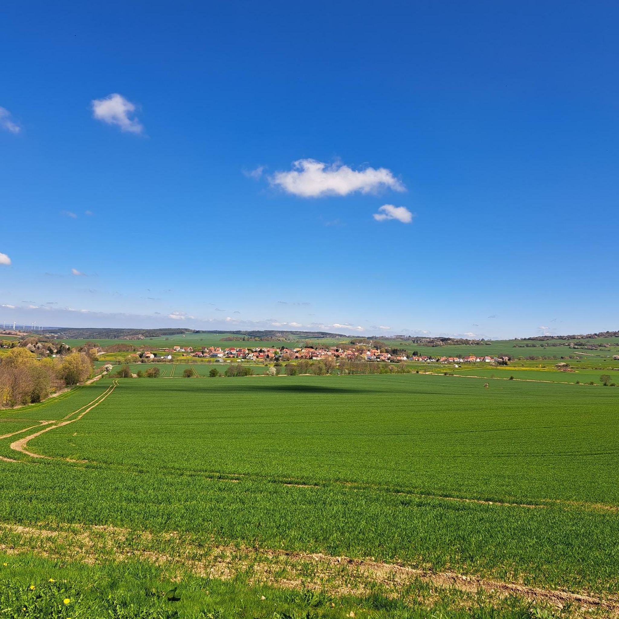
Beautiful view of Dermbach.
0
0

Snack and drinks vending machine
0
0


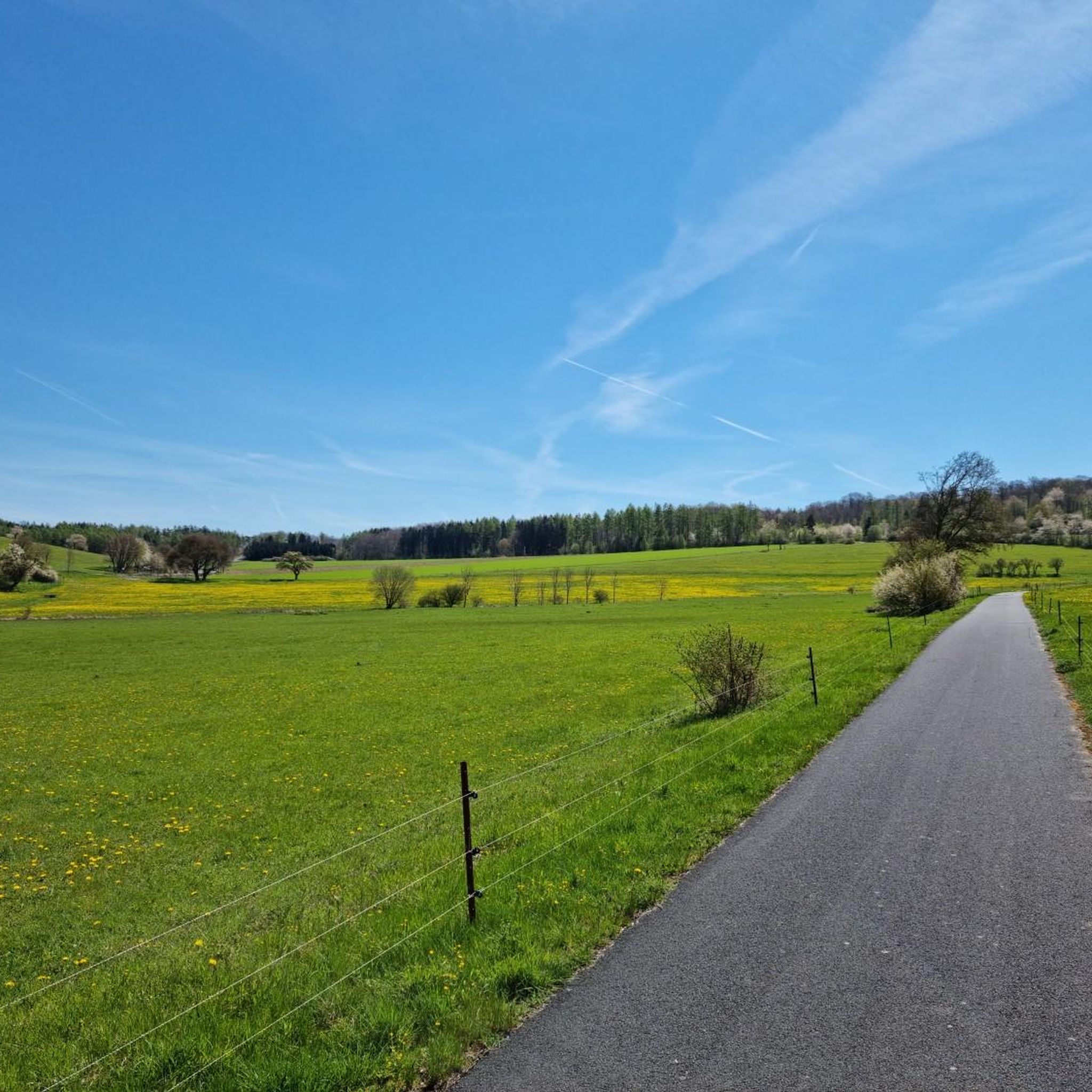
Beautiful view with seating and located directly on the bike path.
0
0

Hiking hut on the Emberg with a wonderful view of the Feldatal and the Thuringian Forest. 500 m above sea level A lovely place where you can stop and enjoy the beautiful view. You can also have a nice snack here, as there are enough tables and benches. The hut is only opened on special occasions.
2
0

Frequently Asked Questions
How many running trails are available in Geisaer Stadtwald?
There are over 120 running routes in Geisaer Stadtwald, offering a wide variety of options for different fitness levels and preferences.
What is the general difficulty level of running routes in Geisaer Stadtwald?
The majority of running routes in Geisaer Stadtwald are classified as moderate, with 84 such trails. There are also 14 easy routes perfect for beginners or a relaxed jog, and 23 more challenging options for experienced runners.
Are there any easy or beginner-friendly jogging routes in Geisaer Stadtwald?
Yes, Geisaer Stadtwald offers 14 easy running routes suitable for beginners or those looking for a less strenuous jog. These paths typically feature gentler terrain and shorter distances.
What kind of terrain can I expect on the jogging routes in Geisaer Stadtwald?
The running routes in Geisaer Stadtwald primarily traverse dense woodlands and gentle, rolling hills. You can expect natural paths, often through forested areas, providing a refreshing run amidst nature with moderate elevation changes.
Are there any circular running routes in Geisaer Stadtwald?
Yes, many routes in Geisaer Stadtwald are circular. For example, the Emberghütte Stamp Point 281 – Emberghütte Viewpoint loop from Oechsen is a moderate 5.8-mile (9.3 km) circular trail, and the Embergradweg – View of Bermbach loop from Oechsen offers a longer 9.1-mile (14.7 km) circular experience.
What do other runners enjoy most about the trails in Geisaer Stadtwald?
The running routes in Geisaer Stadtwald are highly rated by the komoot community, with an average score of 4.4 stars from over 120 reviews. Runners often praise the dense woodlands, rolling hills, and scenic viewpoints that define the region's trails.
Are there any viewpoints or interesting sights along the running trails?
Yes, several routes offer scenic viewpoints. For instance, the Emberghütte Viewpoint – Emberghütte Stamp Point 281 loop from Oechsen provides views from the Emberghütte. You might also encounter unique highlights like the Gnome Loo Stamp Station 290 or the Photo Wall Family Hiking Trail Trollish Greetings (Stamp Station 291).
Are the jogging routes in Geisaer Stadtwald suitable for families?
While specific 'family-friendly' routes are not explicitly categorized, many of the easier and moderate trails with shorter distances could be suitable for families. The presence of highlights like the Stamping Point 289 Playground Kohlbach suggests areas that cater to families.
What are the typical lengths and durations of running routes in Geisaer Stadtwald?
Running routes in Geisaer Stadtwald vary in length. For example, the Oechsen Station loop from Oechsen is about 3.5 miles (5.7 km) and takes around 38 minutes, while the Arzberg – Geblar Village loop from Oechsen is 5.9 miles (9.6 km) and typically takes about an hour.
Is there parking available near the running trails in Geisaer Stadtwald?
While specific parking locations are not detailed for every route, many trailheads in natural areas like Geisaer Stadtwald, especially those starting from villages like Oechsen, typically offer designated parking areas or roadside parking options. It's advisable to check the route details on komoot for specific starting points.
Can I bring my dog on the running trails in Geisaer Stadtwald?
Geisaer Stadtwald is a natural area, and generally, dogs are welcome on trails, especially if kept on a leash. However, it's always recommended to check local regulations or specific route descriptions for any restrictions, particularly in nature reserves or protected areas.
Are there any running routes that pass through villages or offer amenities nearby?
Yes, some routes wind through local villages. For instance, the Arzberg – Geblar Village loop from Oechsen passes through natural surroundings and local villages, which may offer opportunities for amenities like cafes or shops.
Most popular routes in Geisaer Stadtwald
Most popular attractions in Geisaer Stadtwald

Get inspired with the komoot mobile app


Explore more
Browse the best Running Trails & Routes in other regions.
