The best road cycling routes in Boizenburger Stadtforst
4.8
(110)
1,907
riders
98
rides
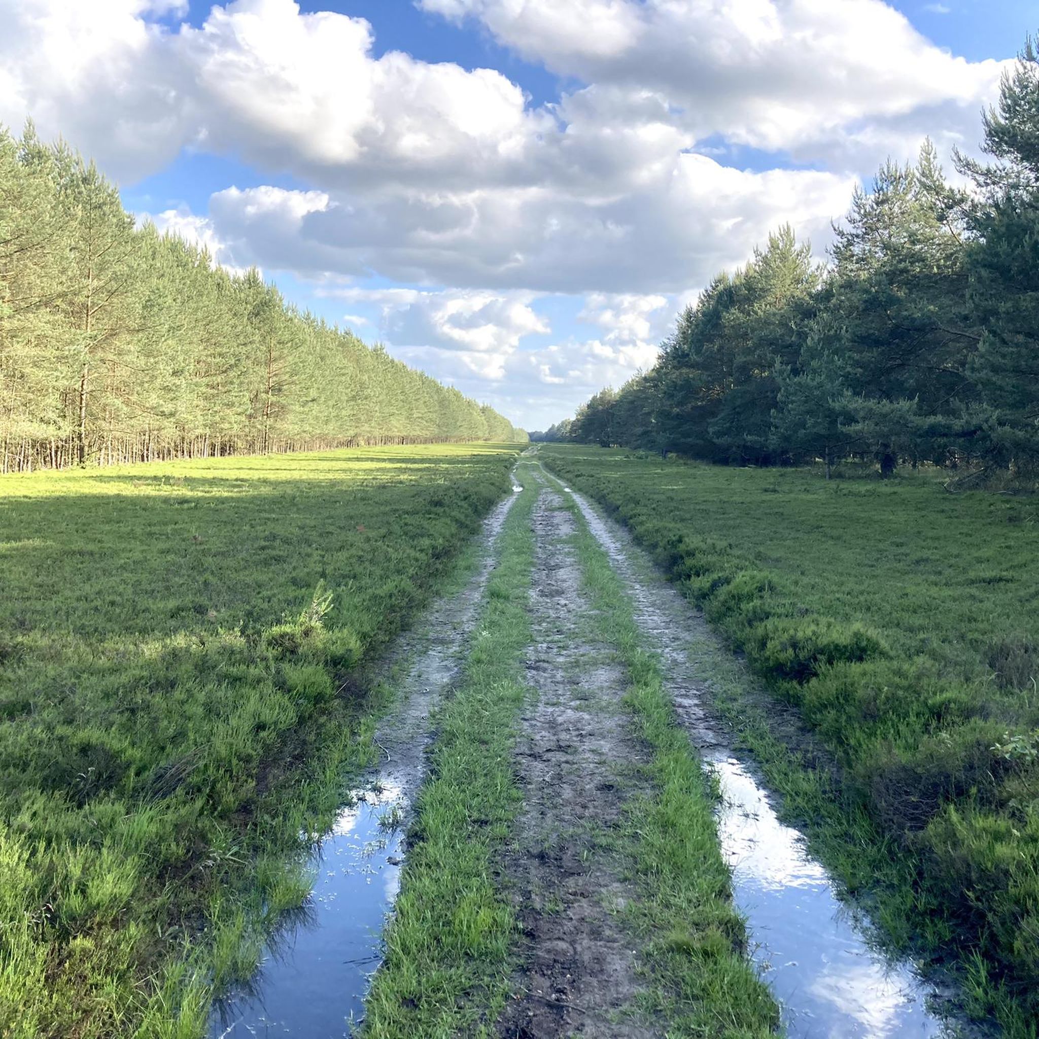
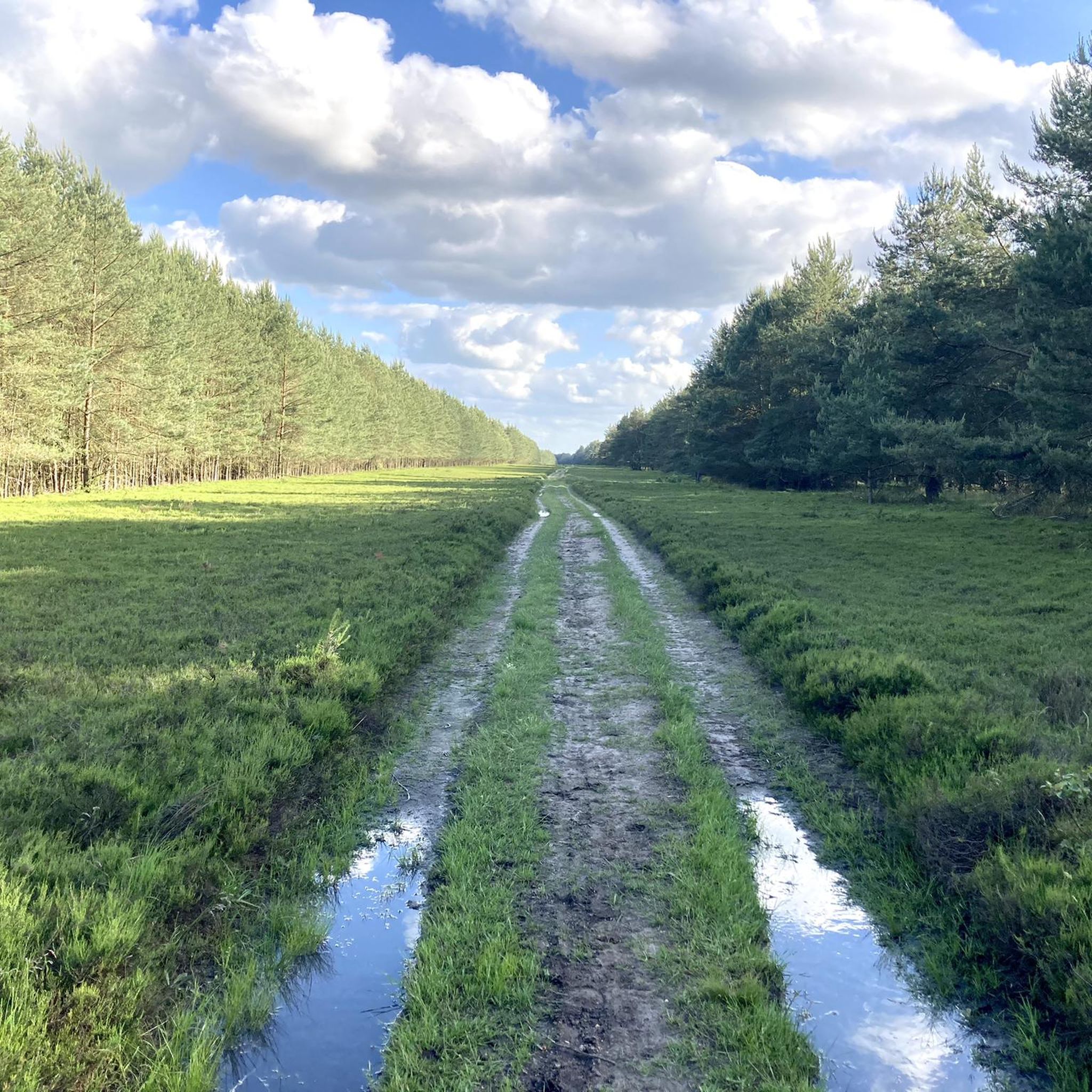
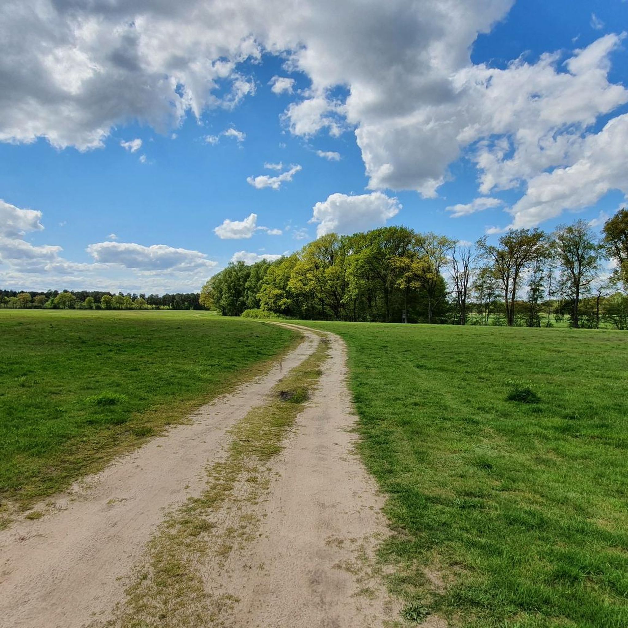
Road cycling routes in Boizenburger Stadtforst offer diverse landscapes with predominantly paved paths. The region features varied terrain, including moderate ascents and descents, making it suitable for different fitness levels. Cyclists can experience routes with views of the Elbe River and journeys incorporating Elbe ferries. The area provides an excellent setting for road cycling, with routes ranging from approximately 1.5 hours up to 5 hours or more.
Best road cycling routes in Boizenburger Stadtforst
- The most popular road cycling route…
Last updated: July 12, 2026
12
riders
50.9km
02:03
140m
140m
Moderate road ride. Good fitness required. Some segments of this route may be unpaved and difficult to ride.
9
riders
Moderate road ride. Good fitness required. Some segments of this route may be unpaved and difficult to ride.

Sign up for free
4.5
(4)
8
riders
45.6km
01:55
120m
120m
Moderate road ride. Great for any fitness level. Some segments of this route may be unpaved and difficult to ride.
4
riders
60.3km
02:37
160m
160m
Moderate road ride. Good fitness required. Mostly well-paved surfaces and easy to ride.
5.0
(2)
29
riders
63.3km
02:49
110m
110m
Moderate road ride. Good fitness required. Mostly well-paved surfaces and easy to ride.
Get access to more routes and recommendations from other explorers.
Sign up for free
Already have an account?
Our route recommendations are based on thousands of hikes, rides, and runs completed by other people on komoot.
Start today with a free account
Your next adventure awaits.
Login or Signup
Tips from the Community

As I said: Unfortunately boarded up and therefore unusable!
0
0
The memorial site has been very thoroughly constructed. All details of the border security are recognizable, down to the SM 70 self-disarming system. Was very valuable for me.
0
0

Unfortunately it was closed and blocked off.
0
0

Very tasty fish sandwiches and you can linger there comfortably
2
0

nice corner here the environment in general is great
0
0

And if you want to extend the route, head south at the entrance to Gresse toward Metlitz. It's just as smooth and lonely.
0
0

The inner-German border ran near Boizenburg/Elbe on the B5, which runs from Lauenburg to Boizenburg. It was an important border route between the Federal Republic of Germany and the GDR. Boizenburg also featured a border crossing known as "Checkpoint Harry." Today, the area is a memorial to the division of Germany.
0
0

Monument Zone Border
0
0
Frequently Asked Questions
How many road cycling routes are available in Boizenburger Stadtforst?
Based on komoot data, there are over 100 road cycling routes in Boizenburger Stadtforst, offering a wide variety of options for cyclists.
What is the typical difficulty level for road cycling routes in Boizenburger Stadtforst?
The routes in Boizenburger Stadtforst are primarily easy to moderate, with no difficult routes identified. This makes the area suitable for a wide range of cyclists, from beginners to those seeking a moderate challenge.
What kind of terrain can I expect on road cycling routes in Boizenburger Stadtforst?
You can expect diverse landscapes with predominantly paved paths, ideal for road cycling. While most paths are paved, some routes might include sections with loose surfaces, so it's good to be prepared for varied terrain. The region features moderate ascents and descents, offering a mix of flat sections and gentle climbs.
Are there any routes that feature the Elbe River?
Yes, the Elbe River is a central feature of the cycling landscape in this region. Many routes offer views of the Elbe and incorporate journeys to and from Elbe ferries, such as the Elbfähre Tanja or Elbfähre Bleckede. The Elbe near Lauenburg is particularly impressive.
What are some notable landmarks or attractions I can see while road cycling in the area?
While cycling, you can explore historic towns like Lauenburg, which offers scenic views such as the 'Blick auf Lauenburg'. Near the Boizenburg harbor, you might encounter the unique 'Weidenschneck' (willow snail), a distinctive willow construction used for cultural events. The Elbbergmuseum Boizenburg also serves as a memorial to the former inner-German border, providing a historical point of interest.
Are there any circular road cycling routes in Boizenburger Stadtforst?
Yes, many routes in the region are designed as loops. For example, you could try the Schwanheide Sprint – Tree-Lined Road Near Lauenburg loop from Schwanheide, which is a 31.3-mile route, or the longer View of Lake Schaalsee – Tree-Lined Road Near Lauenburg loop from Schwanheide, covering 53.8 miles.
What is the average duration for road cycling tours in Boizenburger Stadtforst?
Road cycling tours in Boizenburger Stadtforst typically range from approximately 1.5 hours for shorter routes up to 5 hours or more for longer, more extensive rides. For instance, the Tree-Lined Road Near Lauenburg – Schwanheide Sprint loop from Schwanheide can be completed in about 1 hour 53 minutes.
What do other road cyclists think about the routes in Boizenburger Stadtforst?
The road cycling routes in Boizenburger Stadtforst are highly rated by the komoot community, with an average score of 4.7 stars from over 100 reviews. More than 1,800 road cyclists have used komoot to explore the varied terrain, often praising the diverse landscapes and well-maintained paths.
Are there any routes that offer views of lakes?
Yes, some routes provide scenic views of nearby lakes. A popular option is the View of Lake Schaalsee – Tree-Lined Road Near Lauenburg loop from Schwanheide, which offers beautiful vistas of Lake Schaalsee and its surrounding natural features.
Can I find routes that pass through historic towns?
Absolutely. Many road cycling routes from Boizenburg lead to nearby historic towns. For example, the Boizenburg Town Hall – Schaale Bridge near Blücher loop from Schwartow will take you past the Boizenburg Town Hall and other charming local architecture.
What is the typical elevation gain on road cycling routes in Boizenburger Stadtforst?
Elevation gains can vary, ranging from minimal to around 450 meters on some routes. For example, the Boizenburg Harbor – Schwanheide Sprint loop from Schwanheide has an elevation gain of about 145 meters, offering a moderate challenge.
Most popular routes in Boizenburger Stadtforst

Get inspired with the komoot mobile app


Explore more
Browse the best Road cycling routes in other regions.
