The best walks and hikes in Boizenburger Stadtforst
4.6
(1712)
6,090
hikers
381
hikes
Hiking in Boizenburger Stadtforst offers routes through varied landscapes, transitioning from dike landscapes along the Elbe River to pine and mixed forests. The region is part of the UNESCO Biosphere Reserve River Landscape Elbe M-V, characterized by a glacial meltwater valley. Trails feature gentle elevation changes, with the highest points typically under 30 meters, making the terrain generally flat or gently rolling. This area provides opportunities to experience riverine floodplains, Elbe riverbanks, and meadows.
Best hiking trails in Boizenburger Stadtforst
…Last updated: June 28, 2026
5.0
(1)
3
hikers
Moderate hike. Good fitness required. Easily-accessible paths. Suitable for all skill levels.
4.4
(7)
25
hikers
11.6km
02:56
20m
20m
Moderate hike. Good fitness required. Easily-accessible paths. Suitable for all skill levels.

Sign up for free
5.0
(1)
4
hikers
Moderate hike. Good fitness required. Easily-accessible paths. Suitable for all skill levels.
5
hikers
Easy hike. Great for any fitness level. Easily-accessible paths. Suitable for all skill levels.
Moderate hike. Good fitness required. Easily-accessible paths. Suitable for all skill levels.
Get access to more routes and recommendations from other explorers.
Sign up for free
Already have an account?
Our route recommendations are based on thousands of hikes, rides, and runs completed by other people on komoot.
Start today with a free account
Your next adventure awaits.
Login or Signup
Tips from the Community

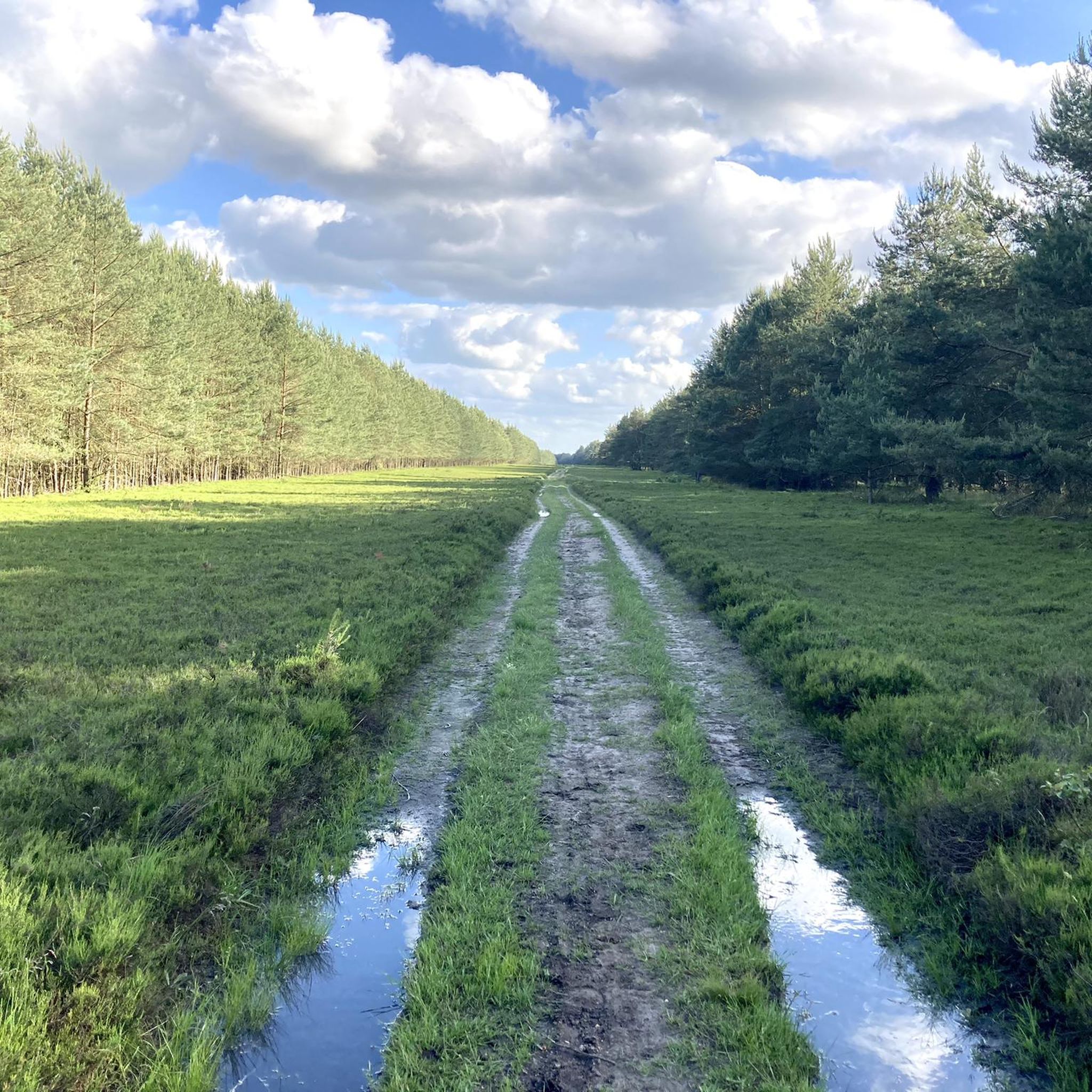
Not passable with a touring bike, at most with a mountain bike.
0
0

The estate, including the school building for the surrounding villages, stood here. In 1963, the entire area was demolished during the "Verziefer" (pesticide) campaign, and all the buildings were destroyed because it was considered too close to the border by the GDR regime.
1
0

If you want to learn more about the history of the estate: https://de.wikipedia.org/wiki/Gut_Gresse
0
0

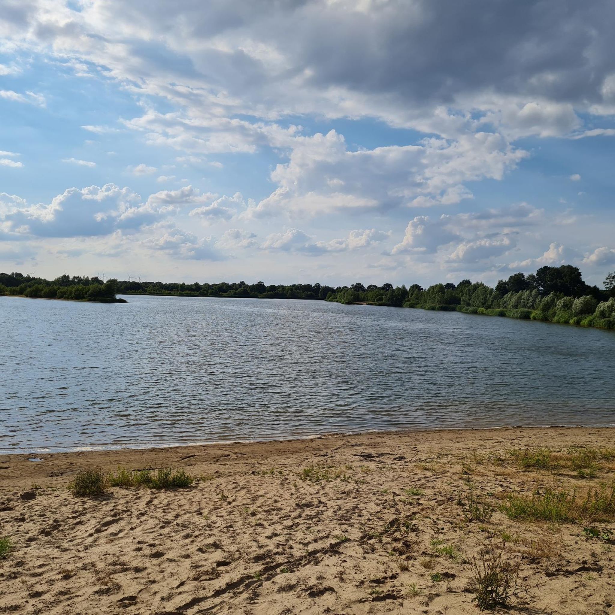
Zweedorfer See near Schwanheide is a former gravel pit lake that was taken over by the local fishing club. A lovely spot for a break.
0
0

If you want to know more about the museum and the horrendous events surrounding the "execution" of Michael Gartenschläger during the GDR era for dismantling automatic shooting devices, you can find them in my book https://shop.tredition.com/booktitle/Zwei_R%3fder_ein_Land/W-1_136034, on the cover of which I can be seen in front of the museum.
0
0

There are very well-maintained fishing spots around the lake; the fishing club puts a lot of effort into it!
6
0

The small stream marked the border between East and West. A 5-kilometer-wide, impenetrable restricted area ran along the inner-German border, which was cleared and under constant surveillance by guards.
1
0

There is a memorial plaque for Friedegart Belusa here. Friedegart Belusa (1915-1996), an East Prussian, looked after the railway mission for more than 25 years, a joint facility of the Protestant and Catholic churches. The station in Büchen was not a normal train station. For hundreds of thousands of people, it became the first port of call in the West. Between 1955 and 1959, almost a quarter of a million emigrants came, as well as 50,000 Berlin children who were supposed to recover in Schleswig-Holstein and, from 1964, pensioners from the GDR who were allowed to travel to the West to visit. Up to 160 adults and 140 young people, most of them volunteers, distributed food and drinks, helped the disabled, made phone calls to authorities and let travelers stay overnight. Friedegart Belusa was awarded the Federal Cross of Merit in 1982 for her services. A street in Büchen has also been named after her. (Source: Lauenburger Landeszeitung from 24.8.2014)
0
0
Frequently Asked Questions
What kind of landscape can I expect when hiking in Boizenburger Stadtforst?
Boizenburger Stadtforst offers a diverse landscape, transitioning from dike paths along the Elbe River to varied pine and mixed forests. The area is part of the UNESCO Biosphere Reserve River Landscape Elbe M-V, characterized by a glacial meltwater valley, offering views of riverine floodplains, Elbe riverbanks, and meadows.
How many hiking trails are available in Boizenburger Stadtforst?
There are over 380 hiking trails in Boizenburger Stadtforst, catering to various skill levels. You'll find a wide selection, including more than 240 easy routes, 130 moderate options, and a few challenging trails for experienced hikers.
Are there any family-friendly hiking options in Boizenburger Stadtforst?
Yes, many trails in Boizenburger Stadtforst are suitable for families. The terrain is generally flat or gently rolling, with highest points typically under 30 meters, making it accessible for all ages. Look for the numerous easy-rated routes, which often follow well-maintained paths through forests and along dikes.
What are some notable natural features or wildlife I might encounter?
The region is part of the UNESCO Biosphere Reserve River Landscape Elbe M-V, known for its rich biodiversity. Hikers can observe various animals, especially if quiet, including rare species like sea eagles, white storks, and beavers, alongside typical river valley plants. The landscape itself features steep Elbe riverbanks, tributaries, and sandy inland dunes.
Are there any historical landmarks or points of interest along the trails?
Yes, the area offers historical context. Near Boizenburg, you can find remnants of the former inner-German border, including sections of a border fence and an old border tower. The Open-Air Museum Tor 21 loop from Grenzmuseun is one route that explores this historical area.
What do other hikers say about the trails in Boizenburger Stadtforst?
The trails in Boizenburger Stadtforst are highly regarded by the komoot community, with an average rating of 4.6 stars from over 1,500 reviews. Hikers often praise the varied terrain, from quiet forest paths to open fields, and the opportunities to experience both natural beauty and historical sites.
Are there any circular hiking routes available?
Yes, many routes in Boizenburger Stadtforst are designed as circular loops, allowing you to start and end at the same point. An example is the Secluded Forest Path – Scenic Path Through the Fields loop from Leisterförde, which offers a moderate 9.5 km journey through diverse scenery.
What is the best time of year to go hiking in Boizenburger Stadtforst?
The varied landscape of Boizenburger Stadtforst makes it suitable for hiking throughout much of the year. Spring and autumn offer pleasant temperatures and vibrant colors, while summer provides lush greenery. Even in winter, the trails can be enjoyed, especially those through the forests, offering a different kind of tranquility.
Are dogs allowed on the hiking trails in Boizenburger Stadtforst?
Generally, dogs are welcome on hiking trails in natural areas like Boizenburger Stadtforst. However, it's always recommended to keep your dog on a leash, especially in areas with wildlife or near agricultural land, to ensure the safety of your pet and respect for the local environment.
Where can I find information about public transport to Boizenburger Stadtforst?
For detailed information on public transport options to Boizenburg/Elbe and surrounding areas, it's best to consult local transport providers. The town of Boizenburg/Elbe is generally accessible, and from there, many trailheads can be reached.
Are there any specific viewpoints or scenic spots along the trails?
Yes, the region offers several scenic spots. From the Elbberg, you can enjoy panoramic views of the Elbe River. Additionally, paths along the Elbe itself, which are part of the Elbe Cycle Path, provide picturesque views of the water and surrounding scenery.
What is the terrain like for hiking in Boizenburger Stadtforst?
The terrain in Boizenburger Stadtforst is characterized by gentle elevation changes, with most routes being relatively flat or gently rolling. You'll encounter paths through dike landscapes, pine forests, and mixed forests, making for a varied and generally accessible hiking experience.
Most popular routes in Boizenburger Stadtforst

Get inspired with the komoot mobile app


Explore more
Browse the best Hikes in other regions.
