The best running trails in Lone Mountain State Forest
32
runners
10
runs
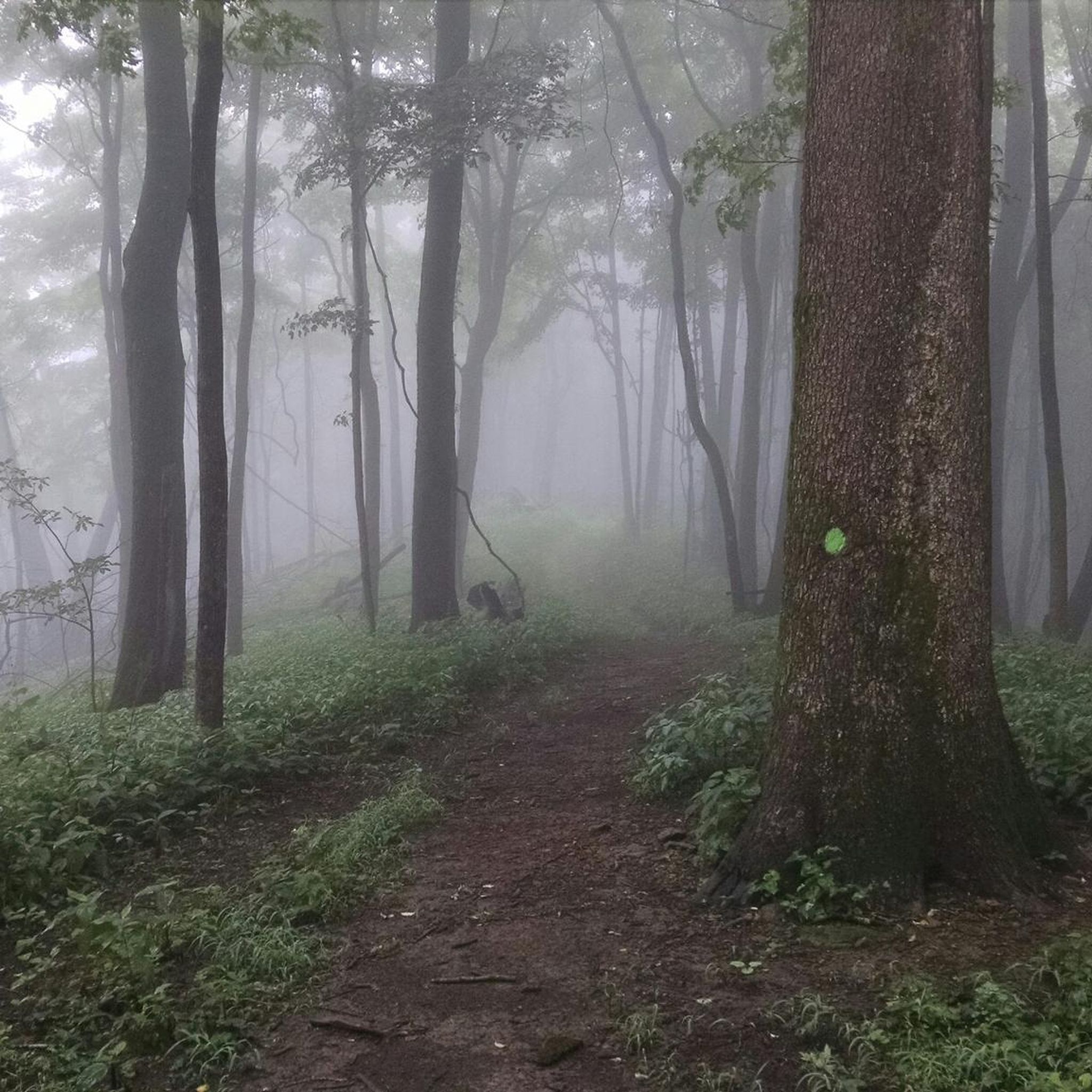
Jogging in Lone Mountain State Forest offers a network of trails through dense woodlands and varied terrain. The region is characterized by its significant elevation changes, with routes often featuring climbs to prominent points like Bird Mountain and Chimney Top. These running routes provide opportunities to explore the forest's natural landscape, including its established trails and diverse ecosystems.
Best jogging routes in Lone Mountain State Forest
- The most popular jogging route is Bird Mountain and Ross Gap Loop, a…
Last updated: May 25, 2026
2
runners
11.9km
01:41
520m
520m
Hard run. Very good fitness required. Mostly paved surfaces. Suitable for all skill levels.
7.90km
01:03
190m
190m
Moderate run. Good fitness required. Mostly paved surfaces. Suitable for all skill levels.

Sign up for free
11
runners
34.1km
05:10
1,690m
1,680m
Hard run. Very good fitness required. Mostly paved surfaces. Suitable for all skill levels.
7
runners
11.6km
01:31
570m
570m
Hard run. Very good fitness required. Mostly paved surfaces. Suitable for all skill levels.
6
runners
17.9km
02:18
820m
820m
Hard run. Very good fitness required. Mostly paved surfaces. Suitable for all skill levels.
Get access to more routes and recommendations from other explorers.
Sign up for free
Already have an account?
Our route recommendations are based on thousands of hikes, rides, and runs completed by other people on komoot.
Start today with a free account
Your next adventure awaits.
Login or Signup
Popular around Lone Mountain State Forest
Tips from the Community

If you’re going to the campsite try to pack light. You gain elevation pretty consistently so a good pair of hiking boots are worth it. There was a downed tree early during the cutback, we managed to get over it safely, but use caution. Park staff was notified. Trail was narrow but trekking poles helped. Definitely take your time and take breaks as needed. Don’t burn out early.
0
0

This is the easiest route down from Old Mac and sports a variety of beautiful wildflowers in the spring.
0
0
The trail switchbacks up the north and west side of Chimney Top, following a singletrack path that hugs the steep forested hillside. By the time you reach the Chimney Tops (a series of rock formations near the top of the mountain), the hardest part of the trail is behind you.
0
0
This is the fourth highest peak in Frozen Head, and in the winter you can get some nice views out across the park. There are some ruins near the top by Beech Fork.
0
0
The Chimney Top Trail is steep but the summit and ridgeline are well worth it. In the winter when there is less foliage you get great views out from Frozen Head.
0
0
The North Old Mac Trail is a relatively easy descent from here. You can also head south to the Panther Gap Rockhouse, a sandstone overhang that makes for a great picnic spot.
0
0
The campsite is just north of the trail junction and has picnic tables and a couple of nice firepits. Backcountry camping in Frozen Head requires a reservation permit which can be obtained for $5 by calling the park office.
0
0
There is plenty of parking at the trailhead, a gazebo with picnic tables, restrooms, and a trail map. From here you have great access to three different trails up Old Mac.
0
0
Frequently Asked Questions
How many running routes are available in Lone Mountain State Forest?
Lone Mountain State Forest offers a selection of 11 running routes. These trails vary in difficulty, providing options for different experience levels.
Are there any easy running trails for beginners in Lone Mountain State Forest?
Yes, there is one easy running route suitable for beginners. While the forest is known for its challenging terrain, this option provides a gentler introduction to jogging in the area.
Where can I find challenging running routes in Lone Mountain State Forest?
Lone Mountain State Forest is well-known for its challenging terrain, with 9 difficult running routes. For a demanding experience, consider the Chimney Top and North Old Mac Trail Loop, which features significant elevation changes and covers 11.1 miles (17.9 km).
Are there any loop jogging trails in Lone Mountain State Forest?
Yes, many of the running routes in Lone Mountain State Forest are loops, offering a continuous journey without retracing your steps. Examples include the popular Bird Mountain and Ross Gap Loop and the North and South Old Mac Trail Loop.
What is the typical length and duration of running routes in Lone Mountain State Forest?
Running routes in Lone Mountain State Forest vary significantly. You'll find paths ranging from around 4.9 miles (7.9 km) for a moderate run, such as the Cumberland Trail: Obed River Section, up to 11.1 miles (17.9 km) for longer, more challenging runs like the Chimney Top and North Old Mac Trail Loop. Durations can range from just over an hour to more than two hours, depending on the route and your pace.
What kind of scenery can I expect on the running trails?
The running trails in Lone Mountain State Forest primarily traverse dense woodlands, offering a natural and immersive forest experience. You can expect varied terrain with significant elevation changes, leading to prominent points like Bird Mountain and Chimney Top, which provide scenic views of the surrounding landscape.
What should I bring for jogging in Lone Mountain State Forest?
Given the varied terrain and elevation changes, it's advisable to wear appropriate trail running shoes for good grip and support. Carry enough water, especially on longer routes, and consider bringing a map or using a GPS device as some trails can be remote. Layered clothing is also recommended due to potential weather changes.
Is Lone Mountain State Forest suitable for winter jogging?
While jogging is possible in winter, conditions can be challenging. Trails may be covered in snow or ice, especially at higher elevations. It's crucial to check local weather forecasts, wear appropriate winter running gear, and be prepared for colder temperatures and potentially slippery surfaces. Some trails might be less maintained during winter months.
Are there any less crowded running trails for a more solitary experience?
While specific crowd levels can vary, generally, the more challenging and longer routes tend to be less crowded. For a potentially quieter experience, consider exploring routes like the Bird Mountain Loop, which offers a substantial distance and elevation, often attracting fewer casual visitors.
What do other runners enjoy most about jogging in Lone Mountain State Forest?
Runners frequently praise the challenging nature of the trails and the immersive experience of running through dense woodlands. The significant elevation gains and varied forest paths are often highlighted as key features that make for a rewarding and engaging run.
Most popular routes in Lone Mountain State Forest

Get inspired with the komoot mobile app


Explore more
Browse the best Running Trails & Routes in other regions.
