The best walks and hikes around Muinebeag
4.6
(125)
839
hikers
18
hikes
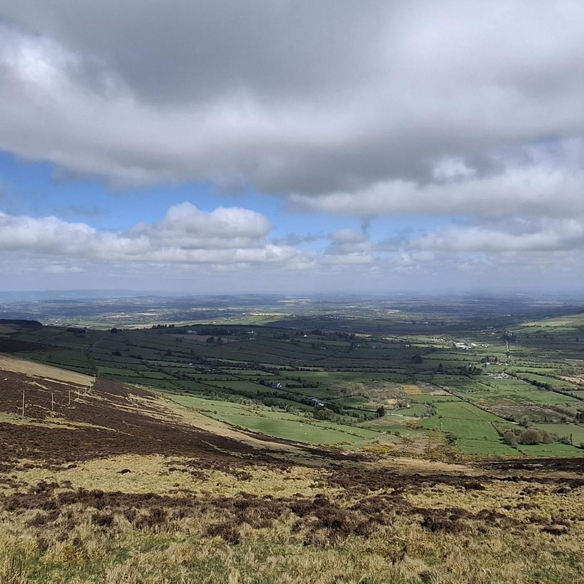
Hiking around Muinebeag, also known as Bagenalstown, offers a diverse landscape for outdoor activities in County Carlow. The region is characterized by the tranquil riverside paths of the River Barrow, Ireland's second-longest river, and the more challenging mountain trails of the Blackstairs Mountains to the east. Hikers can explore a blend of fertile river valleys, wooded areas, and elevated terrain, including views of Mount Leinster and Brandon Hill. This area provides a variety of natural features for different hiking experiences.
…Last updated: May 20, 2026
4.7
(9)
48
hikers
19.8km
06:14
600m
600m
Hike the challenging Brandon Hill Loop, Kilkenny's highest peak, for panoramic views and varied terrain over 12.3 miles (19.8 km).
4.6
(8)
48
hikers
16.9km
04:31
190m
190m
Moderate hike. Good fitness required. Easily-accessible paths. Suitable for all skill levels.

Sign up for free
3.0
(1)
21
hikers
7.57km
02:45
420m
410m
Moderate hike. Good fitness required. Mostly accessible paths. Sure-footedness required.
5.0
(1)
5
hikers
17.5km
06:01
690m
690m
Hike the difficult 10.9-mile Blackstairs Mountain from Ballymurphy loop, gaining 2252 feet with fantastic views and diverse terrain.
5.0
(1)
2
hikers
19.8km
05:15
190m
190m
Hard hike. Very good fitness required. Easily-accessible paths. Suitable for all skill levels.
4
hikers
22.4km
05:42
50m
50m
Hard hike. Very good fitness required. Easily-accessible paths. Suitable for all skill levels.
4.8
(5)
19
hikers
15.2km
04:47
500m
500m
Moderate hike. Good fitness required. Mostly accessible paths. Sure-footedness required.
5.0
(3)
22
hikers
3.12km
00:52
50m
50m
Easy hike. Great for any fitness level. Easily-accessible paths. Suitable for all skill levels.
5.0
(1)
18
hikers
9.59km
02:34
110m
100m
Moderate hike. Good fitness required. Easily-accessible paths. Suitable for all skill levels.
5.0
(2)
9
hikers
2.23km
00:51
80m
80m
Moderate hike. Great for any fitness level. Mostly accessible paths. Sure-footedness required.
Get access to more routes and recommendations from other explorers.
Sign up for free
Already have an account?
Our route recommendations are based on thousands of hikes, rides, and runs completed by other people on komoot.
Start today with a free account
Your next adventure awaits.
Login or Signup
Popular around Muinebeag
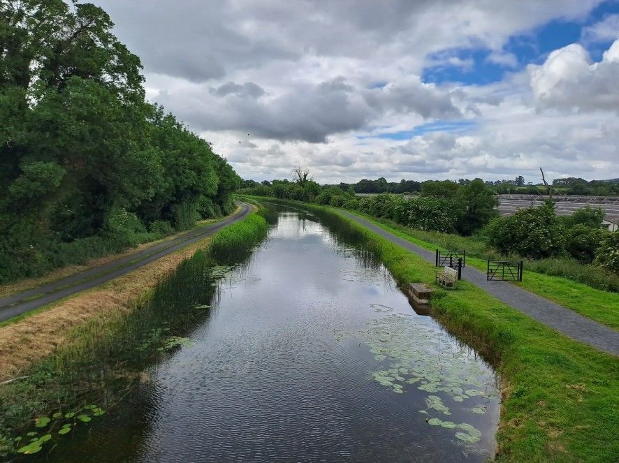
The Barrow Way — Walking Beside Quiet Waters
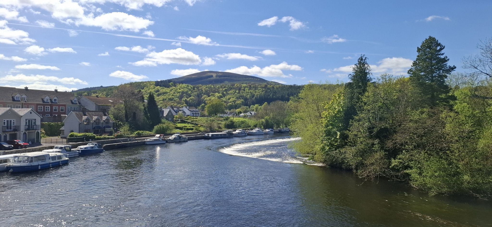
South Leinster Way – It's a long way to Tipperary

Follow the water - Along Ireland's rivers and lakes

Ireland's blue rivers and lakes – walks along the water

Between waves and peaks — to the best views in Ireland
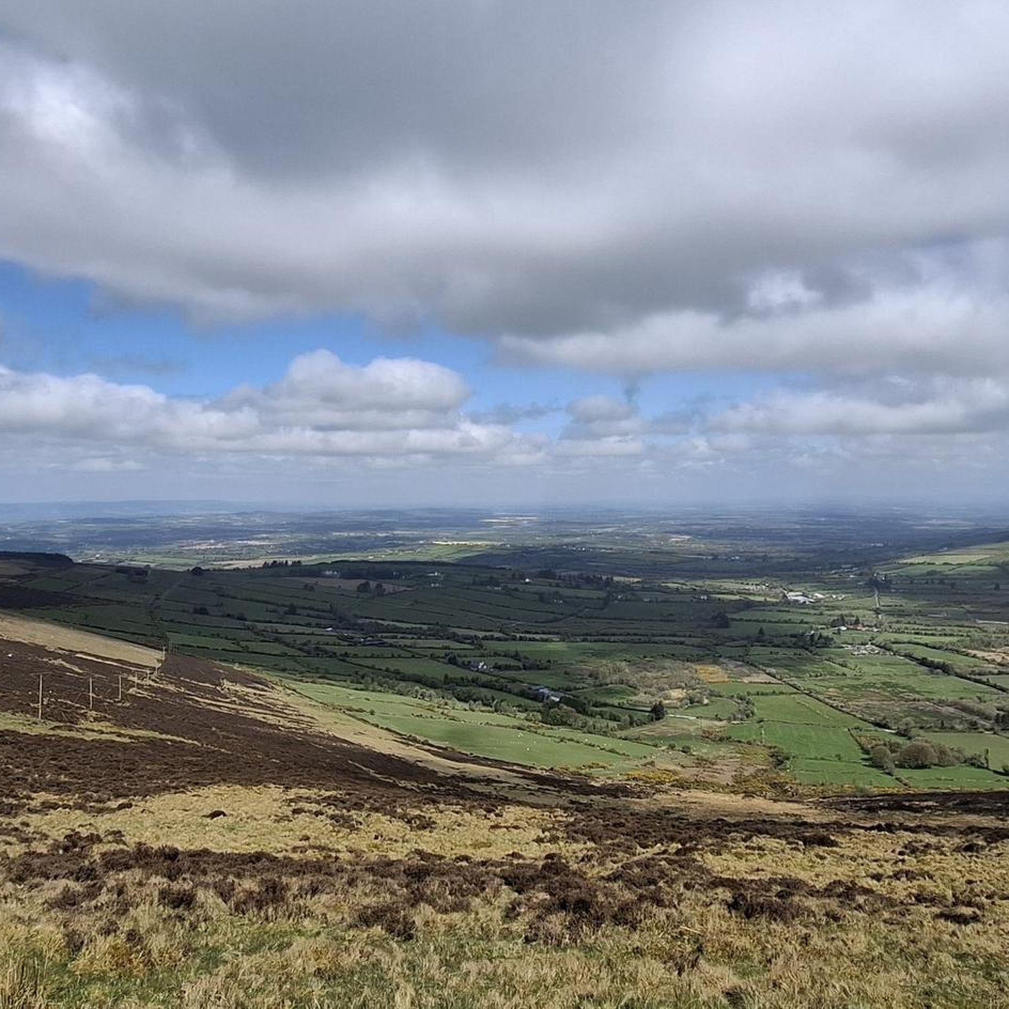
Road Cycling Routes around Muinebeag
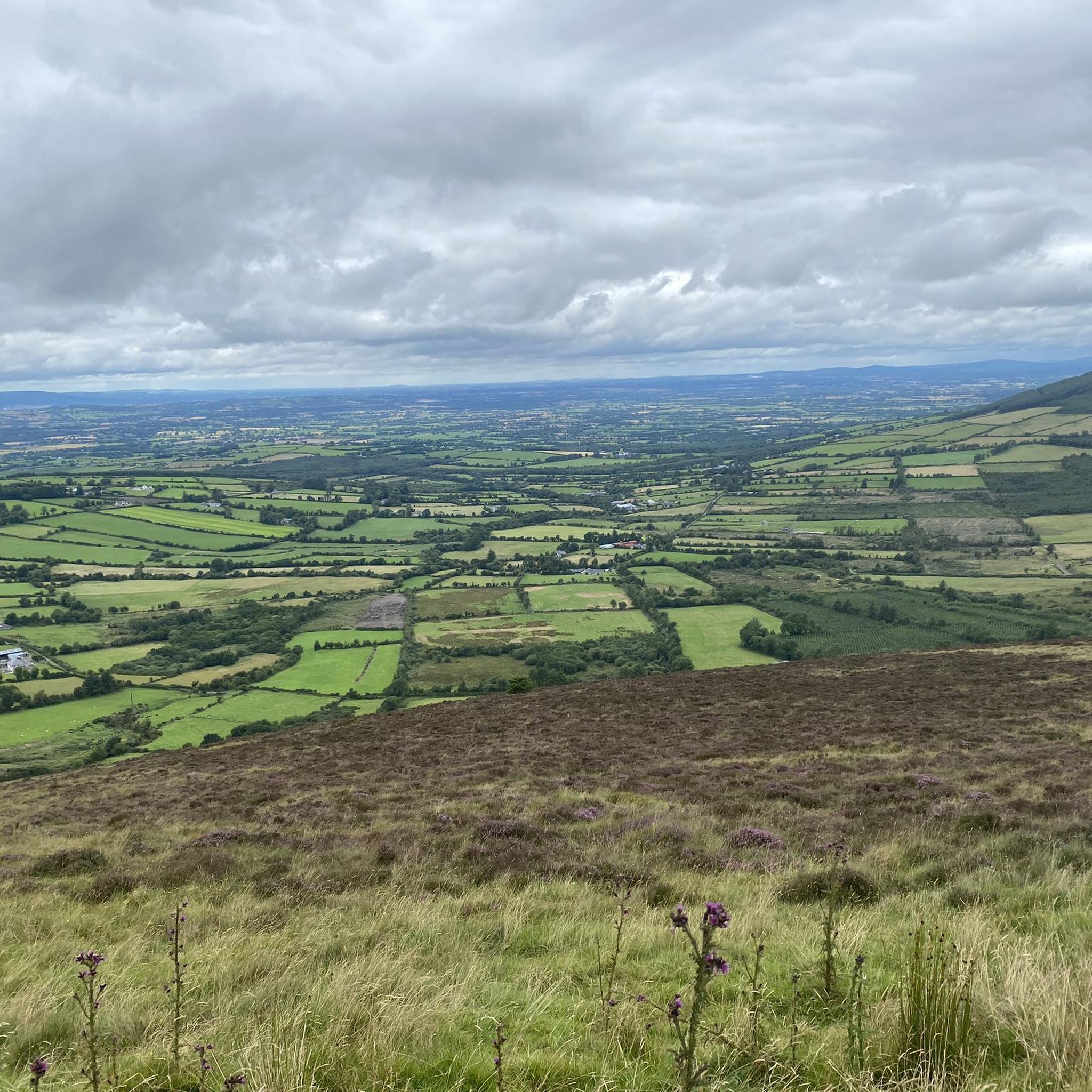
Running Trails around Muinebeag
Cycling around Muinebeag
Other adventures around Muinebeag


Tips from the Community

The bridge itself is not as pretty as nearby Gorsebridge stone bridge, but the view from up on top is not bad at all.
0
0
There are plenty of places to get refreshments: next to the old stone bridge, or in the nearby town itself. A perfect stop when walking the Barrow Way.
0
0
Enjoy pleasant water views from this part of the Barrow Navigation, including plenty of wildlife that call this waterway home.
0
0

Lovely views and great amenities for walking, glamping, camper vans, fishing and fresh air
1
0

The beautiful, seven-arch Graiguenamanagh Bridge crosses the River Barrow, which forms the border between Counties Carlow and Kilkenny. It was originally built in the 1760s and was rebuilt after damage suffered during the 1798 rebellion. It's been said to be one of the most aesthetically pleasing bridges in the country.
0
0
This is a scenic bridge across the beautiful River Barrow, a fine sight on both the Barrow Way and South Leinster Way long-distance trails. The river here marks the border between Counties Kilkenny and Carlow.
0
0


Frequently Asked Questions
How many hiking trails are available around Muinebeag?
Muinebeag, also known as Bagenalstown, offers a good selection of hiking routes. There are over 15 distinct hiking trails in the area, catering to various skill levels and preferences.
What types of landscapes can I expect to see while hiking in Muinebeag?
You'll find a diverse range of landscapes. Many trails follow the tranquil River Barrow, offering serene riverside paths with opportunities to spot wildlife. To the east, the Blackstairs Mountains provide more challenging mountain trails with expansive views, including those from Mount Leinster and Brandon Hill.
Are there easy hiking options suitable for beginners or casual walkers in Muinebeag?
Yes, Muinebeag has several easy hiking options. For instance, the Clogrennane Wood loop from Clogrenan ED is an easy 3.1 km trail. The Barrow Way also offers accessible sections, such as the 20 km route from Bagenalstown to Goresbridge or the scenic stretch to Leighlinbridge, which are generally flat and well-maintained.
What historical sites or landmarks can I explore near the hiking trails?
The area is rich in history. Along the Barrow Way, you can see historical features like old mills, arched bridges, and lock houses such as Ballykeenan Lock. Nearby, you can also view the ruins of Ballymoon Castle (early 14th century) and Ballyloughan Castle (13th century) from a distance, or visit the preserved ruin of Wells Church, dating back to 1262.
Are there any circular hiking routes around Muinebeag?
Yes, there are several circular routes available. A popular option is the Brandon Hill Loop, a challenging 19.8 km trail offering expansive views. Another is the Brandon Hill Summit – Beautiful views loop from Duiske Abbey, a moderate 15.2 km route. For a shorter, easier option, consider the Clogrennane Wood loop from Clogrenan ED.
What do other hikers enjoy the most about hiking in Muinebeag?
The hiking experiences in Muinebeag are highly rated by the komoot community, with an average score of 4.6 stars from over 100 reviews. Hikers often praise the diverse terrain, from tranquil riverside paths to challenging mountain ascents, and the blend of natural beauty with historical points of interest.
Are the hiking trails in Muinebeag suitable for families with children?
Many sections of the Barrow Way are ideal for families, offering flat, easy walking along the river. The Joyce's – Ballytiglea Bridge loop from Borris is another easy 7.2 km option that could be suitable for families. For a leisurely stroll, the Barrow Experience Gardens in Bagenalstown also provide a pleasant, accessible option.
Are there any dog-friendly walks in the Muinebeag area?
Many of the public walking trails, especially along the River Barrow and in forest recreation areas like Kilbrannish Forest, are generally dog-friendly. However, it's always recommended to keep dogs on a leash, especially near livestock or in areas with wildlife, and to check local signage for any specific restrictions.
Where can I find parking for hiking trails in Muinebeag?
Parking is typically available at key access points for popular trails. For routes along the Barrow Way, you can often find parking in towns like Bagenalstown, Goresbridge, or Graiguenamanagh. For mountain trails in the Blackstairs Mountains, designated parking areas are usually provided near trailheads, such as those for Blackstairs Mountain from Ballymurphy loop.
What is the best time of year to go hiking in Muinebeag?
Spring and autumn are generally considered the best times for hiking in Muinebeag, offering mild temperatures and beautiful scenery. Spring brings blooming wildflowers, while autumn showcases vibrant foliage. Summer is also pleasant, though trails can be busier. Winter hikes are possible, especially on lower-level routes, but require appropriate gear for potentially colder and wetter conditions.
Are there opportunities for longer, more challenging hikes in the region?
Absolutely. For experienced hikers seeking a challenge, the Brandon Hill Loop is a difficult 19.8 km trail. The Blackstairs Mountain from Ballymurphy loop is another difficult 17.4 km route with significant elevation gain. These trails offer rewarding ascents and expansive views over the surrounding countryside.
Can I combine hiking with other activities in Muinebeag?
Yes, Muinebeag offers opportunities to combine hiking with other activities. The River Barrow is popular for water sports, especially around Graiguenamanagh. The Barrow Way is also suitable for cycling. Additionally, the town of Muinebeag itself has historical architecture, and the Barrow Experience Gardens provide a pleasant, leisurely option.
Most popular routes around Muinebeag
Most popular attractions around Muinebeag

Get inspired with the komoot mobile app


Explore more
Browse the best Hikes in other regions.
