The best walks and hikes around Conamara Municipal District
4.4
(2797)
15,368
hikers
182
hikes
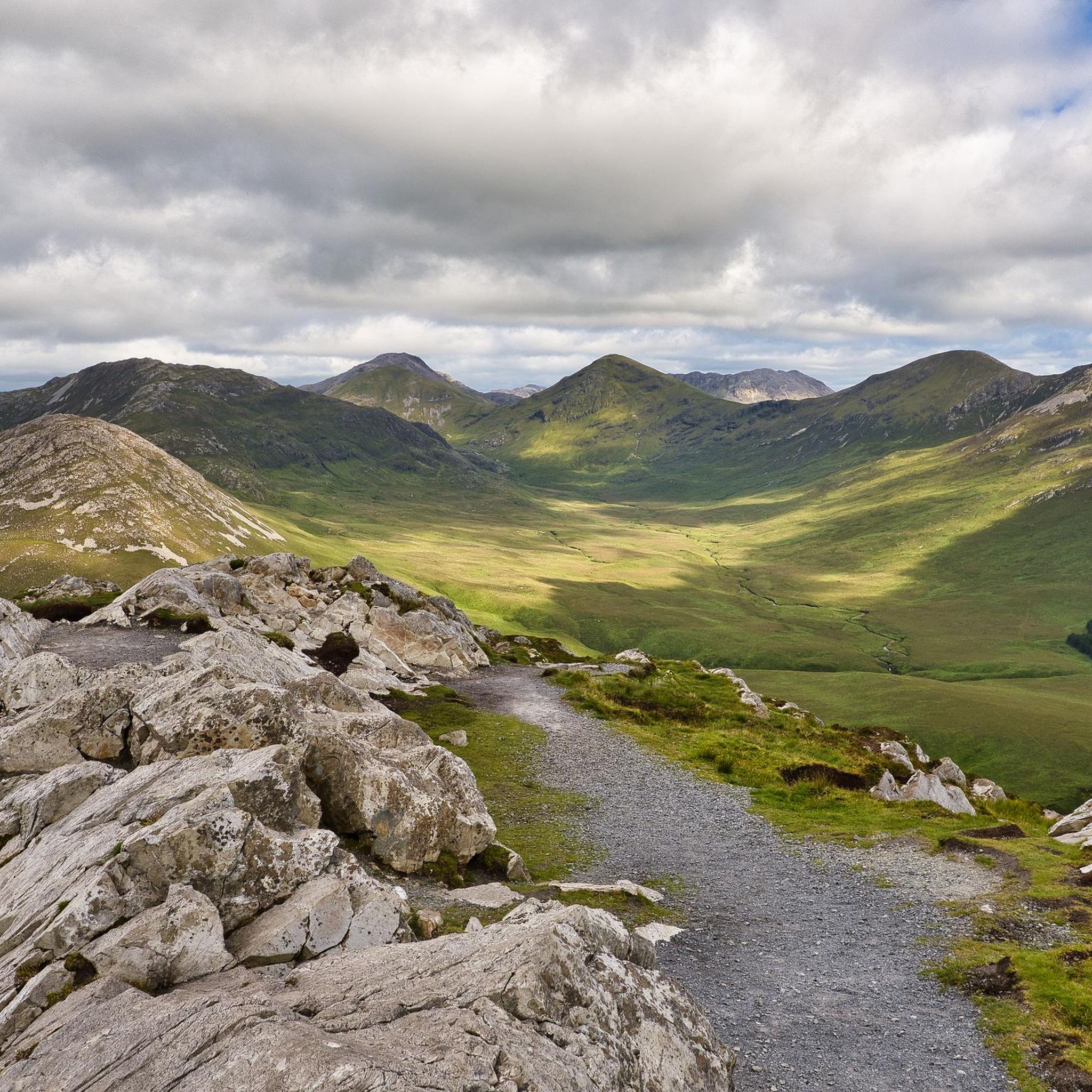
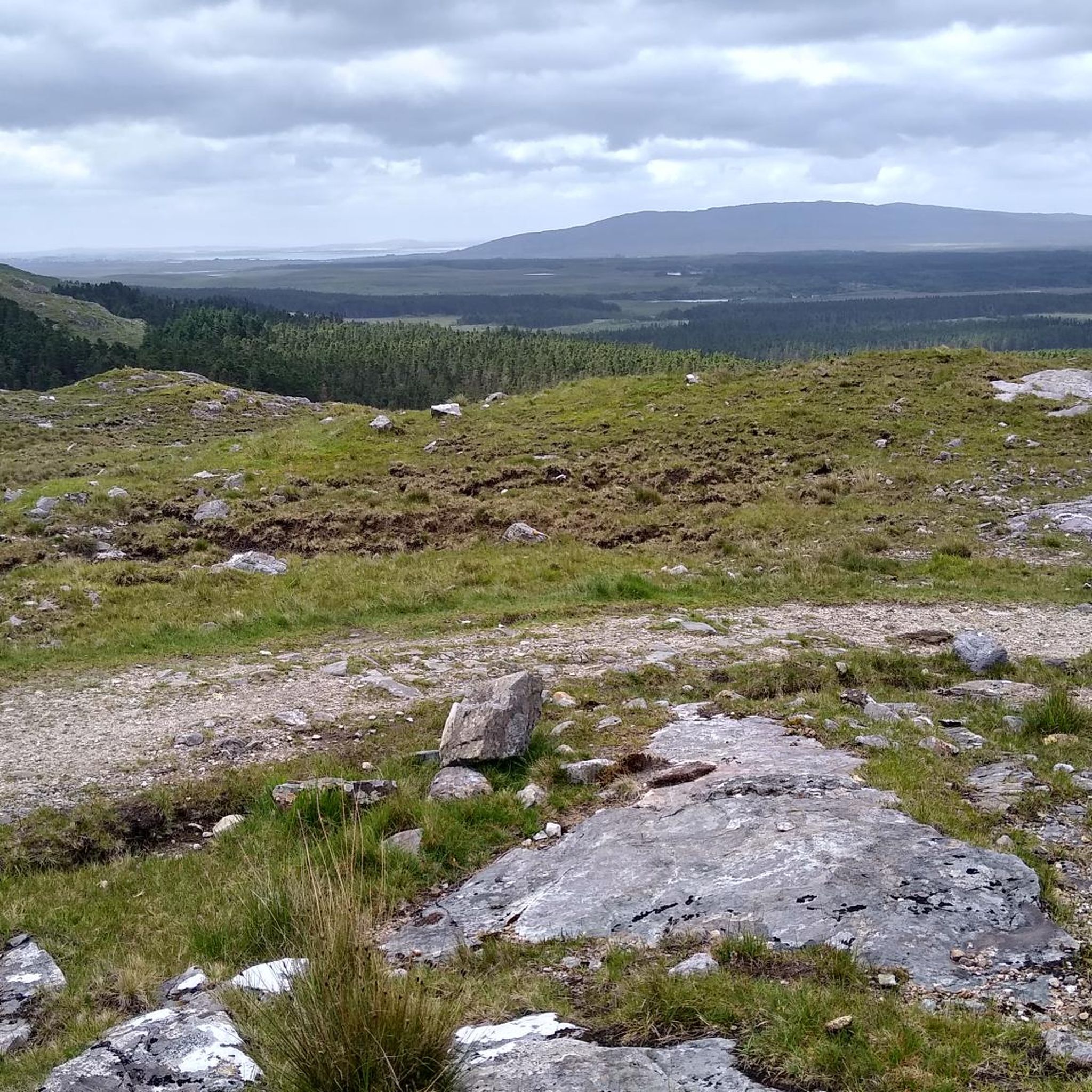
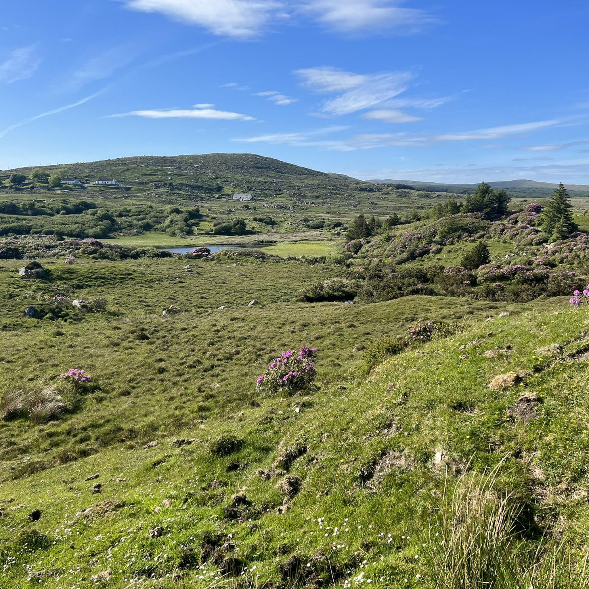
Hiking around Conamara Municipal District offers diverse terrain, characterized by its expansive Connemara National Park, dramatic mountain ranges like the Twelve Bens and Maamturk Mountains, and unique boglands. The region also features Ireland's only fjord, Killary Fjord, and a rugged Atlantic coastline with islands such as Omey Island. Trails wind through woodlands, along lakeshores, and across open moorlands, providing varied landscapes for outdoor exploration.
Best hiking trails around Conamara Municipal District
- The most popular hiking route is Diamond Hill Loop…
Last updated: July 3, 2026
4.8
(1523)
7,730
hikers
7.75km
02:34
370m
370m
Moderate hike. Good fitness required. Easily-accessible paths. Suitable for all skill levels.
4.6
(62)
220
hikers
15.7km
04:17
160m
160m
Moderate hike. Good fitness required. Mostly accessible paths. Sure-footedness required.

Sign up for free
4.6
(50)
299
hikers
4.77km
01:13
20m
20m
Easy hike. Great for any fitness level. Easily-accessible paths. Suitable for all skill levels.
4.7
(39)
137
hikers
11.8km
03:29
290m
300m
Moderate hike. Good fitness required. Easily-accessible paths. Suitable for all skill levels.
4.9
(39)
169
hikers
6.98km
01:47
30m
30m
Moderate hike. Great for any fitness level. Mostly accessible paths. Sure-footedness required.
4.9
(26)
137
hikers
8.41km
02:13
70m
70m
Moderate hike. Good fitness required. Easily-accessible paths. Suitable for all skill levels.
5.0
(1)
20
hikers
2.24km
00:38
50m
50m
Easy hike. Great for any fitness level. Easily-accessible paths. Suitable for all skill levels.
4.5
(18)
86
hikers
9.33km
02:27
70m
70m
Moderate hike. Good fitness required. Easily-accessible paths. Suitable for all skill levels.
4.7
(17)
51
hikers
8.41km
02:14
90m
90m
Moderate hike. Good fitness required. Easily-accessible paths. Suitable for all skill levels.
4.7
(7)
34
hikers
13.6km
03:36
130m
130m
Moderate hike. Good fitness required. Easily-accessible paths. Suitable for all skill levels.
Get access to more routes and recommendations from other explorers.
Sign up for free
Already have an account?
Our route recommendations are based on thousands of hikes, rides, and runs completed by other people on komoot.
Start today with a free account
Your next adventure awaits.
Login or Signup
Popular around Conamara Municipal District
Other adventures around Conamara Municipal District


Tips from the Community

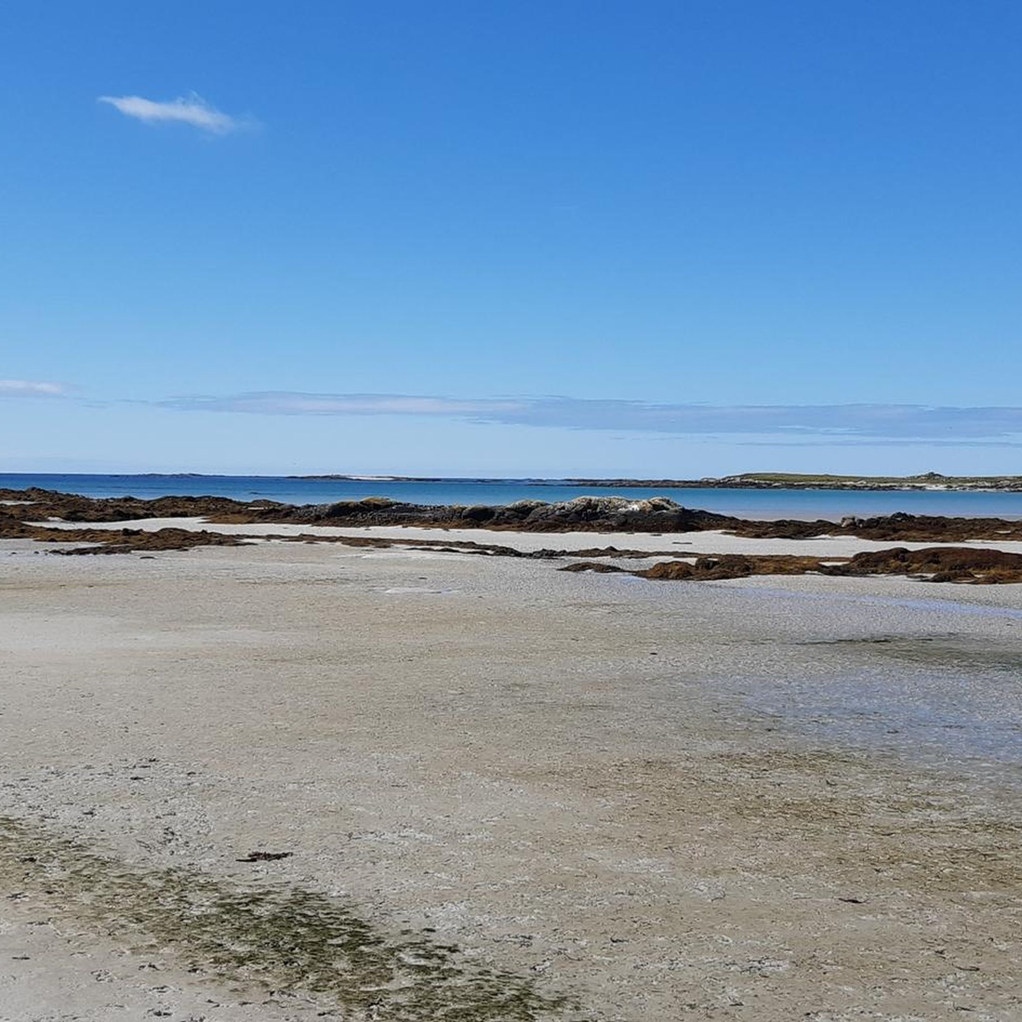
Goes very well by bike, the sand is hard. As already reported CHECK the tide times well for the return!!!
0
0

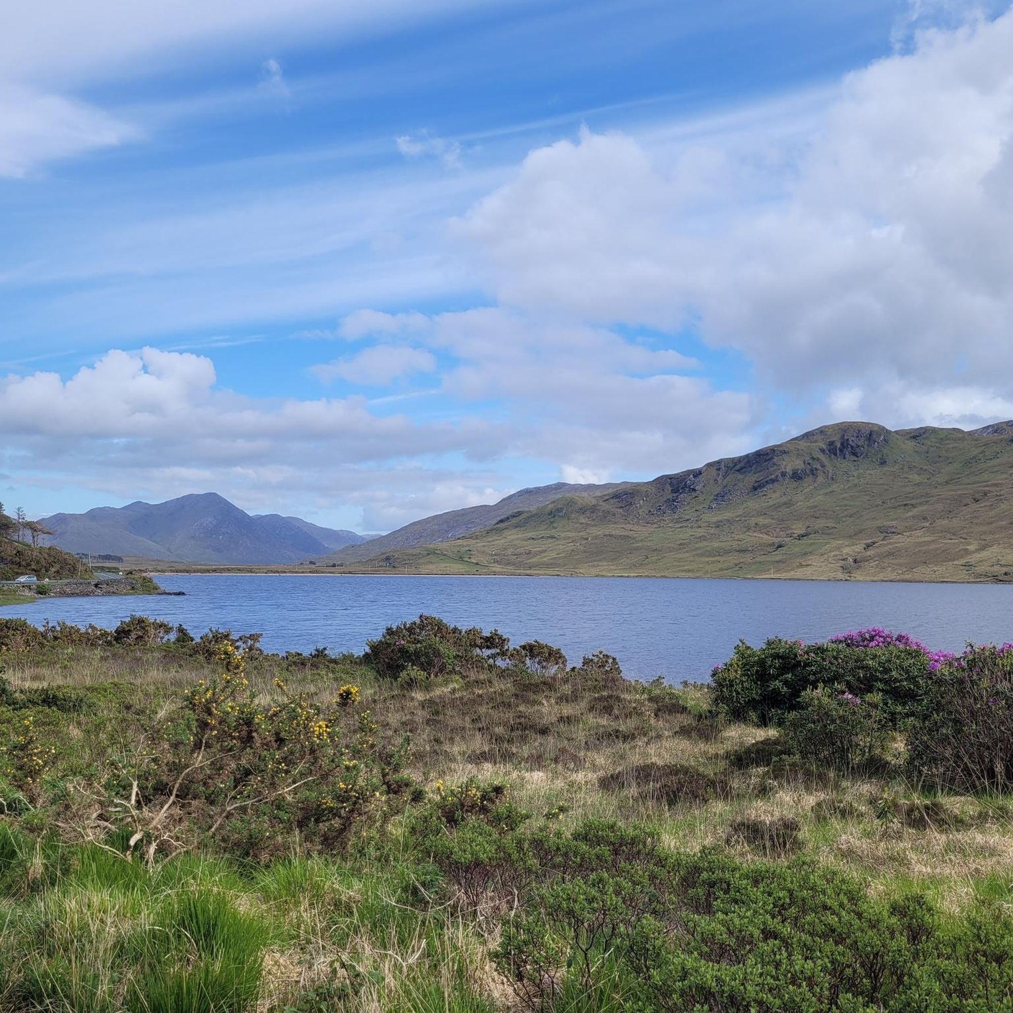
One of the most characteristic Connemara roads: narrow asphalt, slightly undulating, and constantly accompanied by water and low green ridges. Lough Fee lies elongated and open in the landscape. The road runs close to the banks, giving you almost continuous views of water, bog, and the surrounding hills. It feels remote and serene, with broad west coast air and an almost timeless tranquility.
7
0
Prepare for a 'Caribbean' moment in Ireland. From this point, you look down on the narrow spit of land that separates the two famous white sandy beaches. The water of Gurteen Bay turns a bright turquoise against the snow-white sand (which actually consists of microscopic shells) in sunlight. In the background, you can see the rugged contours of the Twelve Bens. An absolute must-stop for a photo before you start the short descent to the beaches.
7
0

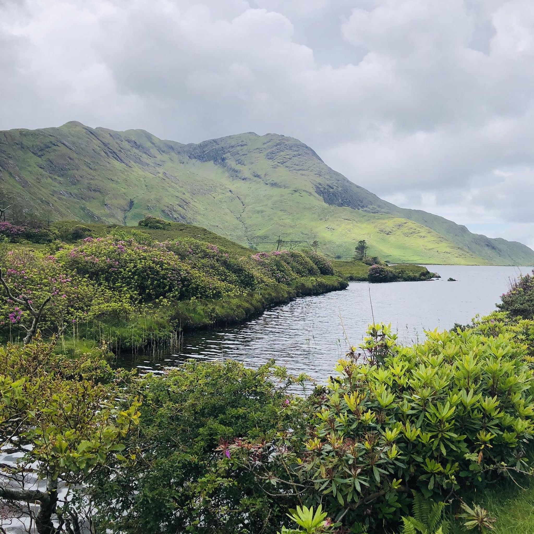
This short section connects the outflow from Lough Fee to Lough Muck downstream, enroute to the nearby Atlantic.
1
0

Errisberg sits overlooking the North Atlantic with stunning, panoramic views out to sea of the Roundstone bog and Dog's Bay. Inland, well, on a good day, you can catch sight of the Twelve Bens. At only 300 metres high, Errisberg is not that high, but it’s big on attitude, and the views are simply awesome.
1
0

impressive cliffs
0
0


Beautiful mountain peak that is easy to reach. The hike goes through the land of sheep, which are really everywhere. From the top you have a great panoramic view and especially of the picturesque Dogsbay.
1
0
Frequently Asked Questions
How many hiking trails are available in Conamara Municipal District?
Conamara Municipal District offers a wide variety of hiking experiences, with over 180 routes recorded on komoot. These range from easy strolls to challenging mountain ascents, ensuring options for all fitness levels.
What kind of terrain can I expect on hikes in Conamara Municipal District?
The region's diverse landscape means you'll encounter a mix of terrain. Trails wind through extensive boglands, along rugged coastlines, past shimmering loughs, and up dramatic mountain ranges like the Twelve Bens and Maamturk Mountains. Many paths, especially in Connemara National Park, feature well-maintained sections and boardwalks.
Are there any family-friendly hiking options in Conamara Municipal District?
Yes, there are many easy trails suitable for families. For instance, the Sruffaunboy loop — Connemara National Park is a shorter, easy route within the National Park. The Lower Diamond Hill loop also offers accessible sections with boardwalks, making it suitable for various ages.
Can I bring my dog on the hiking trails in Conamara Municipal District?
Many areas in Conamara Municipal District are dog-friendly, but regulations can vary, especially within Connemara National Park where dogs often need to be on a lead to protect wildlife and livestock. Coastal walks like the Errisberg Mountain & Dog's Day Beach loop from Roundstone can be great options for walks with your dog, but always check local signage.
What are some notable natural features or landmarks to see while hiking?
Conamara is rich in natural beauty and historical sites. You can hike to the Diamond Hill Summit for panoramic views, explore the unique boglands, or visit Dog's Bay Beach. The region also features Ireland's only fjord, Killary Fjord, and the dramatic Twelve Bens mountain range. For historical interest, you might encounter sites like the Monks' Fishing House on the River Cong or Kylemore Abbey.
Are there any challenging hikes for experienced trekkers?
Absolutely. For experienced hikers, the Conamara Municipal District offers demanding routes, particularly in the Twelve Bens and Maamturk Mountains. The Glencoaghan Horseshoe, for example, is an ambitious looped hike that summits six peaks of the Twelve Bens, offering stunning and challenging terrain. The Killary Harbour loop on the Famine Road from Leenaun is also a difficult, longer option.
Are there many circular hiking routes in the area?
Yes, many of the trails in Conamara Municipal District are circular, allowing you to start and end at the same point. Examples include the popular Diamond Hill Loop in Connemara National Park, the Letterettrin loop from Killary Harbour, and the Omey Island loop.
What is the best time of year to go hiking in Conamara Municipal District?
Hiking in Conamara is enjoyable year-round, but each season offers a different experience. Spring and autumn provide pleasant temperatures and vibrant landscapes. Summer is popular but can be busy. Winter offers a more rugged and solitary experience, though weather conditions can be more challenging. Always be prepared for the region's ever-changing weather, regardless of the season.
Is public transport available to reach trailheads?
While public transport options exist, they can be limited in some of the more remote areas of Conamara. Buses serve some of the main towns and villages, including those near Connemara National Park. For specific trailheads, it's often advisable to check local bus schedules or consider driving, as this offers more flexibility.
Where can I find parking for hiking trails?
Parking is generally available at popular trailheads, especially within Connemara National Park, which has a dedicated visitor center and parking facilities. For other routes, parking might be found in nearby villages or designated lay-bys. Always ensure you park responsibly and do not obstruct local access.
What do other hikers say about the trails in Conamara Municipal District?
The hiking trails in Conamara Municipal District are highly rated by the komoot community, with an average score of 4.5 stars from over 2000 reviews. Hikers frequently praise the stunning panoramic views, the diverse landscapes ranging from mountains to coastlines, and the well-maintained paths, particularly within Connemara National Park.
Are there any hikes that explore the unique boglands of Conamara?
Yes, Conamara's rich boglands are a significant ecological feature, and some trails offer the chance to explore them. The Lower Diamond Hill loop, for instance, includes boardwalk sections that traverse boggy areas, allowing hikers to experience this unique habitat without disturbing it.
Most popular routes around Conamara Municipal District
Most popular attractions around Conamara Municipal District

Get inspired with the komoot mobile app


Didn’t find what you were looking for?
Check out more Hikes throughout Conamara Municipal District below and find the perfect route in your destination.
Explore more
Browse the best Hikes in other regions.
