The best running trails around Conamara Municipal District
4.3
(13)
785
runners
71
runs
Jogging around Conamara Municipal District offers diverse landscapes, from scenic mountains to vast bogs and an unpolluted coastline. The region is characterized by its varied topography, including the Twelve Bens mountain range, numerous rivers, and lakes. Joggers can explore sandy beaches, woodlands, and open heaths, providing a range of natural features for outdoor activity.
Best jogging routes around Conamara Municipal District
- The most popular jogging route is Diamond Hill Circular, a 4.9 miles (7.8 km) trail that takes 1…
Last updated: June 23, 2026
5.0
(3)
240
runners
7.81km
01:00
370m
370m
Hard run. Very good fitness required. Mostly paved surfaces. Suitable for all skill levels.
20
runners
17.2km
03:35
1,330m
1,320m
Hard run. Very good fitness required. Sure-footedness, sturdy shoes and alpine experience required.

Sign up for free
5.0
(1)
53
runners
8.88km
00:56
110m
110m
Moderate run. Good fitness required. Mostly paved surfaces. Suitable for all skill levels.
4.0
(1)
36
runners
6.50km
00:40
40m
40m
Moderate run. Good fitness required. Mostly paved surfaces. Suitable for all skill levels.
24
runners
9.75km
01:01
50m
50m
Moderate run. Good fitness required. Mostly paved surfaces. Suitable for all skill levels.
22
runners
16.6km
01:46
220m
220m
Hard run. Very good fitness required. Mostly paved surfaces. Suitable for all skill levels.
20
runners
3.07km
00:21
90m
90m
Easy run. Great for any fitness level. Mostly paved surfaces. Suitable for all skill levels.
5.0
(1)
16
runners
11.6km
01:12
70m
70m
Moderate run. Good fitness required. Mostly paved surfaces. Suitable for all skill levels.
14
runners
9.62km
01:01
130m
130m
Moderate run. Good fitness required. Mostly paved surfaces. Suitable for all skill levels.
13
runners
9.72km
01:01
70m
70m
Moderate run. Good fitness required. Mostly paved surfaces. Suitable for all skill levels.
Get access to more routes and recommendations from other explorers.
Sign up for free
Already have an account?
Our route recommendations are based on thousands of hikes, rides, and runs completed by other people on komoot.
Start today with a free account
Your next adventure awaits.
Login or Signup
Popular around Conamara Municipal District
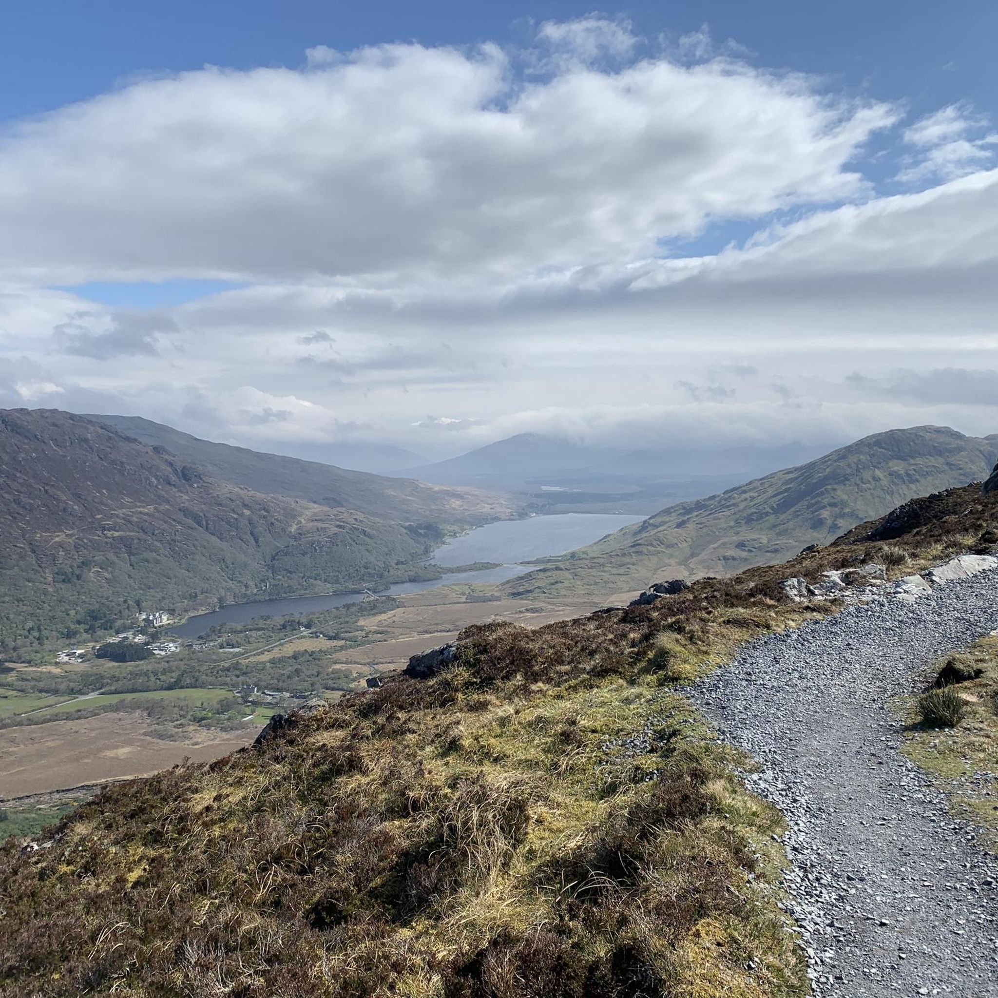
Running Trails around Connemara National Park
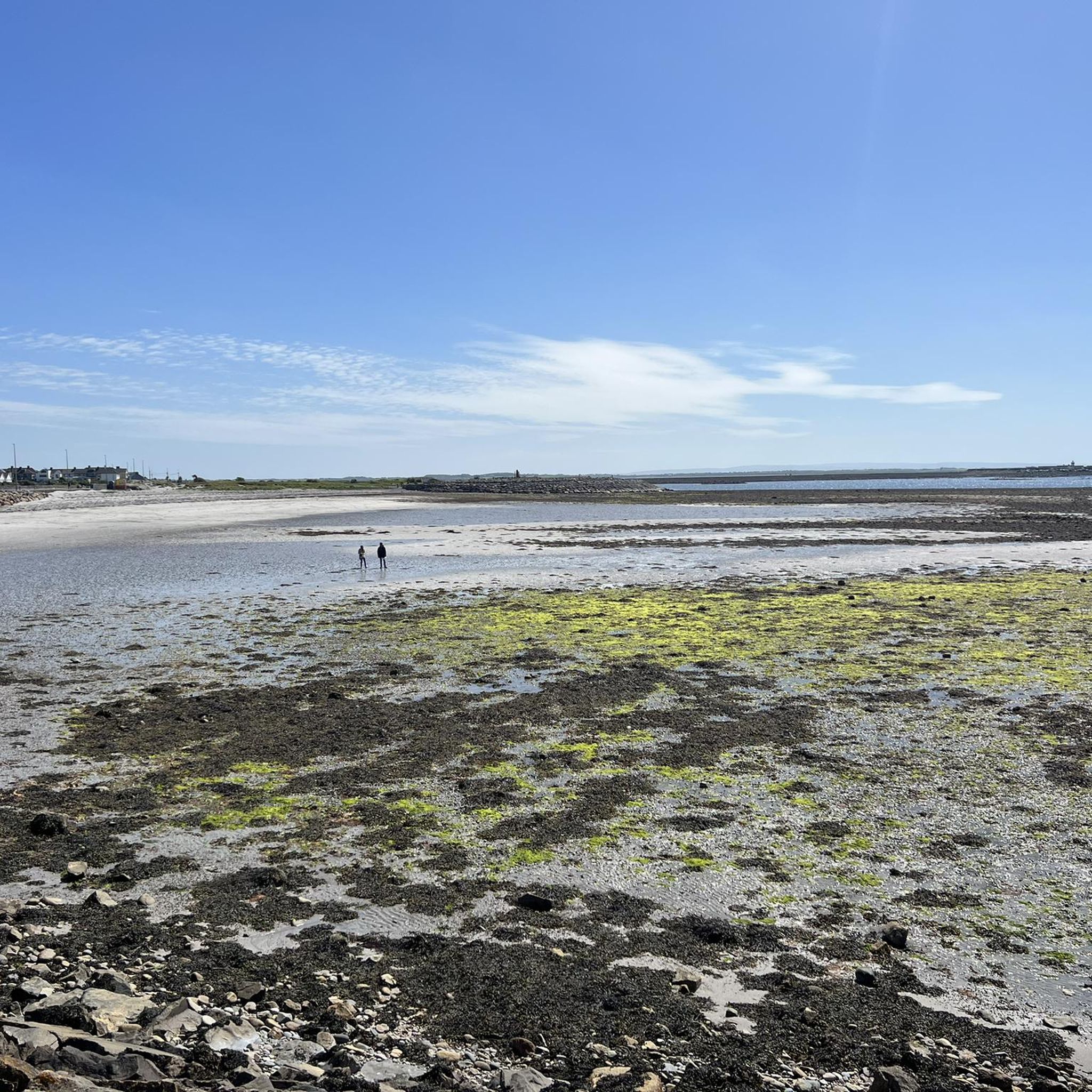
Running Trails around Ballyquirke Lough
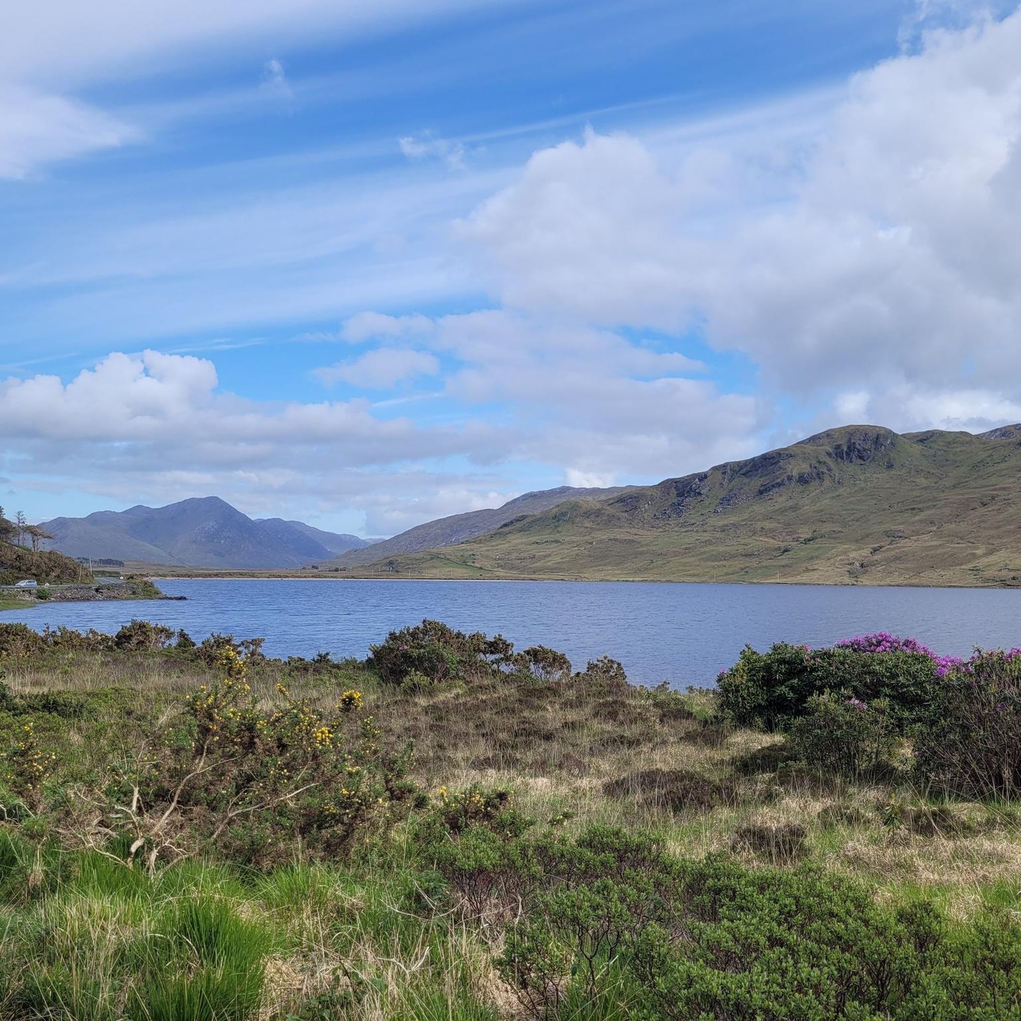
Running Trails around Kylemore Lough
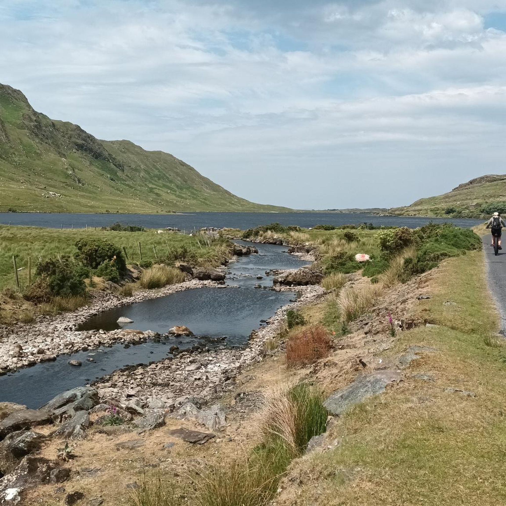
Running Trails around Lough Fee
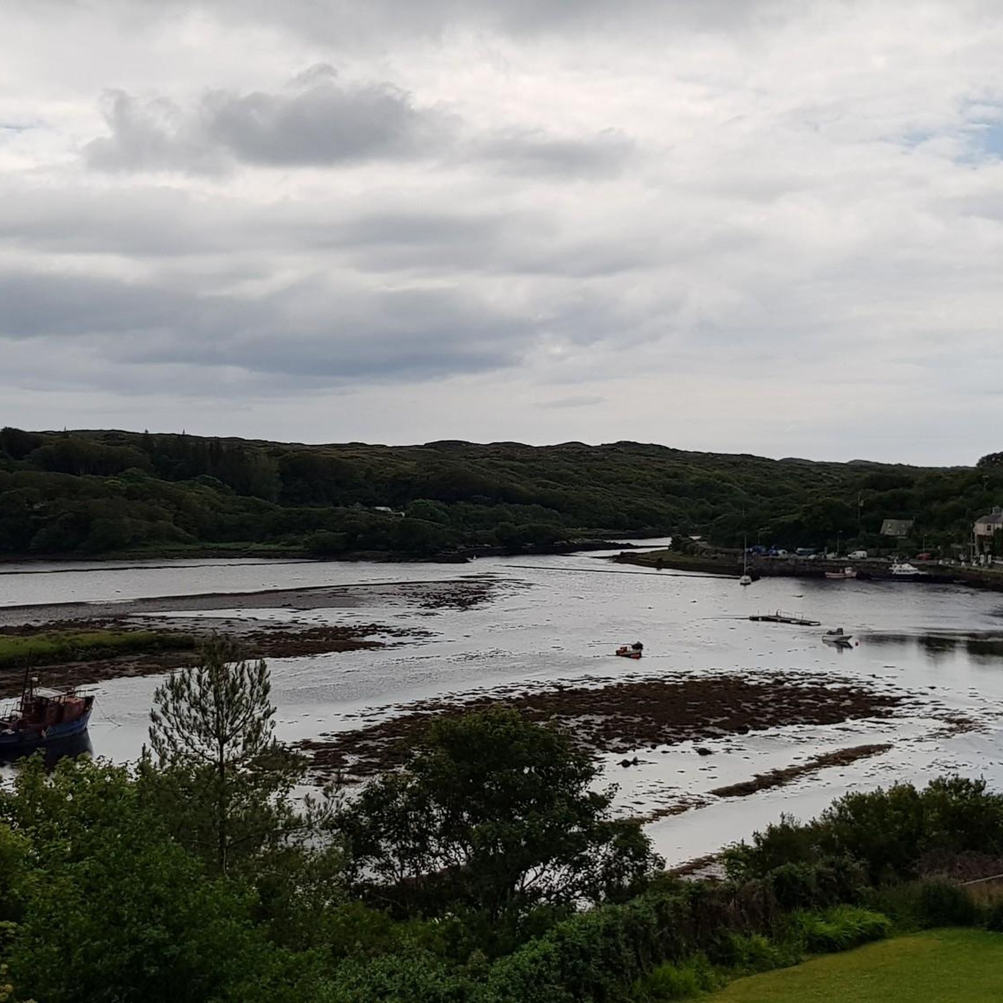
Running Trails around Maumeen Lough
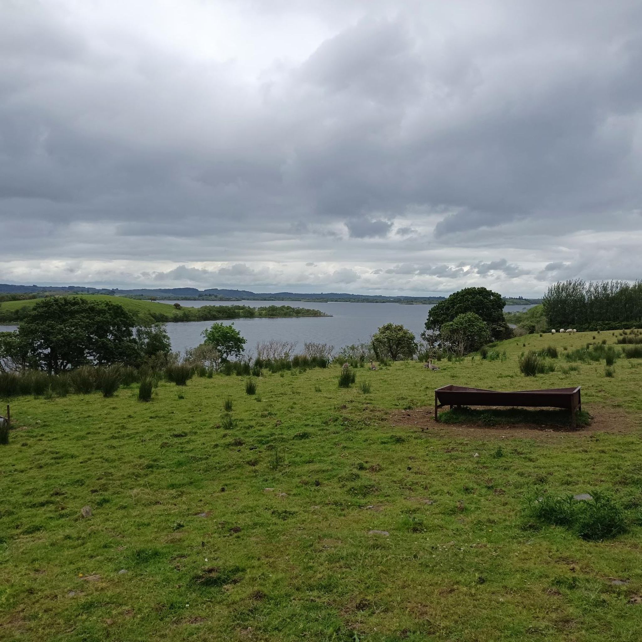
Running Trails in Derroura Forest
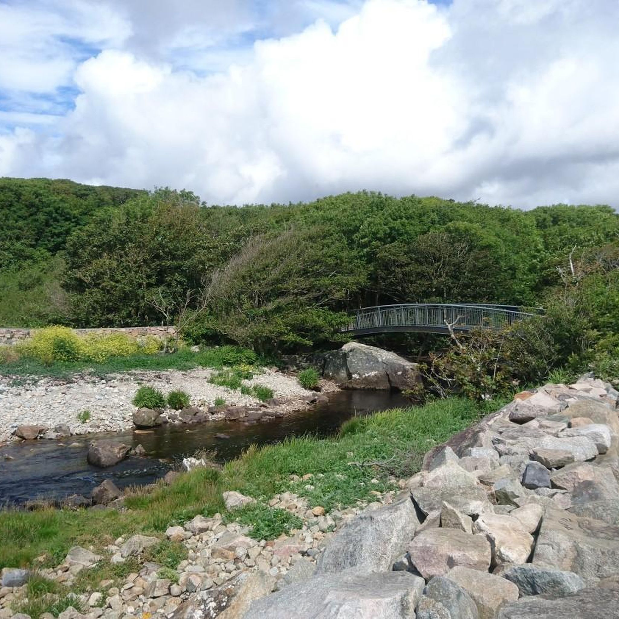
Running Trails in Foraois Sheanadh Phéistín

Running Trails around Ross Lake

Running Trails around Loch Bó Finne
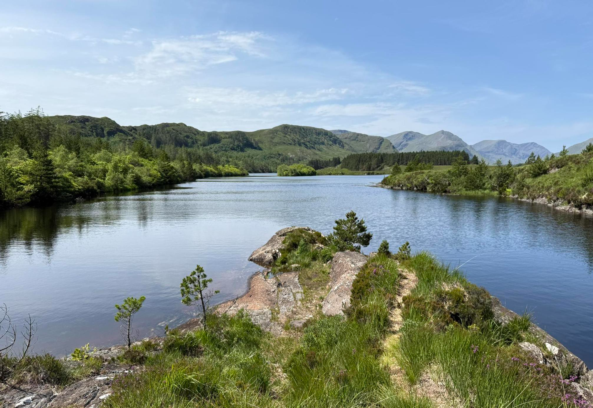
Western Way – Rugged mountains, remote hills and scenic splendour
Other adventures around Conamara Municipal District


Tips from the Community

Wild Atlantic Way Discovery Point @Islands View A breathtaking discovery point on the northern loop of Renvyle. From this elevated spot, you have a direct view over the Connemara archipelago: the inhabited islands of Inishbofin and Inishturk, and the rugged, deserted Inishark. In clear weather, you can even see the contours of the holy mountain Croagh Patrick in County Mayo to the north. For cyclists, this is the ultimate 'Wild Atlantic Way' feeling: the wind in your hair, the smell of salt water, and a horizon that seems endless.
6
0
A spectacular viewpoint where the rugged Atlantic Ocean meets the land of Connemara. Depending on the tide, you will see a deep turquoise bay or a mystical landscape of exposed sandbanks. The bay forms the heart of the region and offers a beautiful contrast to the sharp peaks of the Twelve Bens in the background.
5
0
This historic stone arch bridge marks the spectacular entrance to Clifden. From the bridge, you look down on the wild rapids of the Owenglin River, which thunders down here via a series of small waterfalls into the bay. The contrast between the crashing water, the old grey stone, and the colourful facades of the town further on is magnificent.
6
0
The Ben Lettery Connemara Hostel is an iconic resting point for adventurers, spectacularly located at the foot of the mountain of the same name, Ben Lettery. As part of the famous Twelve Bens, the mountain's pointed peak dominates the view from the hostel, while the front overlooks the shimmering lakes of the Ballynahinch valley. This former lodge breathes the authentic atmosphere of the Irish wilderness and is the perfect base for mountaineers wanting to tackle the 'Glencoaghan Horseshoe' or cyclists exploring the R341 towards Roundstone. It is a place where the rugged granite walls and the vast peat landscape meet, right on the border of the mountains and the ocean.
2
0

At 711 metres, Bencorr is the second highest peak of the ’12 Bens of Connemara’, which has some of the finest walking in Ireland. The mountains are not very high, the highest being only 730 metres, but they offer wonderful hiking opportunities with super scenery and are a feast for the eyes. As with all mountains, however, treat them with respect and ensure you are properly equipped at all times.
0
0

Traffic in the town center is busy so ride safe and keep eyes up. There’s lots of on street parking with doors opening/ people pulling out suddenly
0
0


Oughterard, known as the "Gateway to Connemara," offers stunning views of Lough Corrib and easy access to the beautiful Connemara region. Visit the historic Aughnanure Castle and enjoy the local pubs, and charming accommodations for a true Irish village experience.
0
0
Frequently Asked Questions
How many running routes are available in Conamara Municipal District?
Conamara Municipal District offers a wide selection of running routes, with over 75 trails available. These routes cater to various fitness levels, ranging from easy paths to challenging mountain ascents, ensuring there's something for every runner.
What kind of terrain and natural features can I expect on jogging routes in Conamara?
Jogging in Conamara Municipal District means experiencing incredibly diverse terrain. You'll find scenic mountains, including the famous Twelve Bens range, vast expanses of bogs, heaths, grasslands, and woodlands. The unpolluted coastline also offers stunning runs along sandy beaches like Dog's Bay, alongside numerous rivers and lakes. The picturesque Inagh Valley provides breathtaking scenery for many routes.
Are there any easy running trails suitable for beginners or a relaxed jog?
Yes, Conamara Municipal District has several easy running trails. For a gentle experience, consider the Viewpoint at Diamond Hill loop from Ballynakill ED, which is just over 3 km. While Diamond Hill itself has more challenging sections, this specific loop offers an accessible option with lovely views.
Where can I find challenging running routes in Conamara?
For those seeking a challenge, Conamara offers several demanding routes. The Diamond Hill Circular is a popular difficult route, providing stunning views of the surrounding hills and Kylemore Abbey. Another very challenging option is the Glencoaghan Horseshoe, which covers over 17 km with significant elevation gain.
Are there any circular running routes in Conamara Municipal District?
Many of the running routes in Conamara are circular, offering convenient starting and ending points. Examples include the popular Diamond Hill Circular, the Owenglin River Stone Bridge – Clifden views loop from Clifden, and the Coill na Fairche loop from Clonbur.
What are some notable landmarks or attractions I might see while running in Conamara?
Conamara's running routes often pass by or offer views of significant landmarks. You can enjoy views of Kylemore Abbey from trails around Connemara National Park, or experience the dramatic landscape around Diamond Hill Summit. Other highlights include the Clifden Castle Ruins and the scenic View of Diamond Hill from the Stone Junction.
Are there any running routes that offer coastal views or beach access?
Absolutely! Conamara's unpolluted coastline provides fantastic opportunities for seaside runs. Routes like the Ladies Beach loop from Barna and the Amazing views of Mannin Bay loop from Illaunrush offer stunning coastal vistas and access to sandy beaches, perfect for a refreshing jog.
What do other runners say about the trails in Conamara Municipal District?
The running trails in Conamara Municipal District are highly regarded by the komoot community, boasting an average rating of 4.2 stars from over 10 reviews. More than 770 runners have explored the area, frequently praising the diverse terrain, stunning scenery, and the variety of options available for different skill levels.
Are there any family-friendly running options in Conamara?
While many routes offer varying difficulties, areas within Connemara National Park, particularly the lower loops around Diamond Hill, can be suitable for families looking for a less strenuous jog or walk. The park offers well-marked paths and facilities, making it a good choice for a family outing. Always check the specific route details for elevation and distance to ensure it matches your family's capabilities.
Is public transport available to access running trails in Conamara?
Public transport options in Conamara can be limited, especially for reaching more remote trailheads. However, some towns like Clifden, which serve as starting points for routes such as the Clifden views – Wild Atlantic Viewpoint loop, may have bus services. For routes within Connemara National Park, it's advisable to check local bus schedules or consider driving. For more detailed information on transport, you might consult local tourism resources like Galway Tourism.
Where can I find parking for running trails in Conamara Municipal District?
Parking is generally available at popular trailheads, particularly within Connemara National Park, which is a major hub for runners. For specific routes, it's best to check the route details on komoot, as many start points in towns like Clifden or Oughterard will have designated parking areas nearby. Always be mindful of local parking regulations.
What is the best time of year to go jogging in Conamara?
Conamara is beautiful year-round, but the best time for jogging is typically from late spring to early autumn (May to September). During these months, the weather is generally milder, with longer daylight hours and less rainfall, making for more pleasant running conditions. However, the region's dramatic beauty can be enjoyed in any season, provided you are prepared for changeable weather.
Most popular routes around Conamara Municipal District
Most popular attractions around Conamara Municipal District

Get inspired with the komoot mobile app


Didn’t find what you were looking for?
Check out more Running Trails & Routes throughout Conamara Municipal District below and find the perfect route in your destination.
Explore more
Browse the best Running Trails & Routes in other regions.
