The best walks and hikes around gmina gmina Jabłonka
4.7
(868)
20,820
hikers
15
hikes
Hiking around gmina gmina Jabłonka offers diverse trails within a mountainous region near the Slovak border. The area is characterized by the prominent Babia Góra range, including peaks like Gówniak and Diablak, and is home to Babia Góra National Park. These natural features provide varied terrain and elevation for hikers. The landscape includes high mountain passes and observation points offering extensive views.
Best hiking trails around gmina gmina Jabłonka
- The most popular hiking route is The trail to Babia Góra…
Last updated: June 28, 2026
4.9
(133)
3,068
hikers
Moderate hike. Good fitness required. Easily-accessible paths. Suitable for all skill levels.
4.9
(188)
4,436
hikers
14.2km
04:56
740m
740m
Moderate hike. Good fitness required. Easily-accessible paths. Suitable for all skill levels.

Sign up for free
5.0
(16)
412
hikers
12.7km
03:36
280m
280m
Moderate hike. Good fitness required. Easily-accessible paths. Suitable for all skill levels.
5.0
(4)
85
hikers
25.5km
08:29
1,130m
1,130m
Hard hike. Very good fitness required. Easily-accessible paths. Suitable for all skill levels.
4.7
(6)
52
hikers
5.74km
02:12
380m
380m
Moderate hike. Good fitness required. Easily-accessible paths. Suitable for all skill levels.
Get access to more routes and recommendations from other explorers.
Sign up for free
Already have an account?
Our route recommendations are based on thousands of hikes, rides, and runs completed by other people on komoot.
Start today with a free account
Your next adventure awaits.
Login or Signup

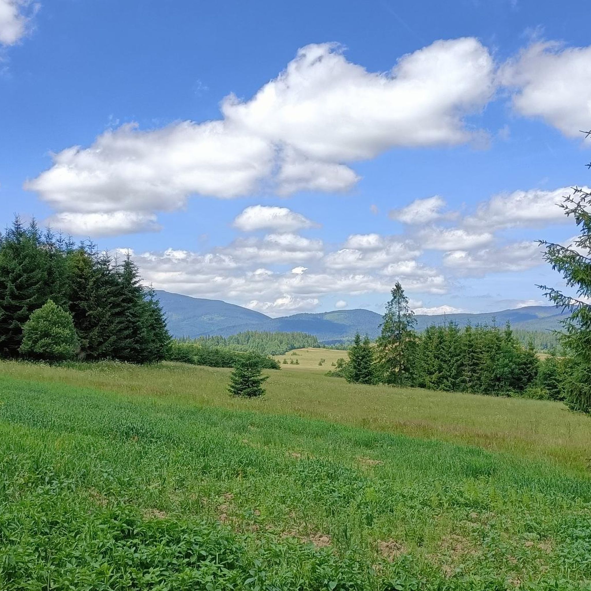
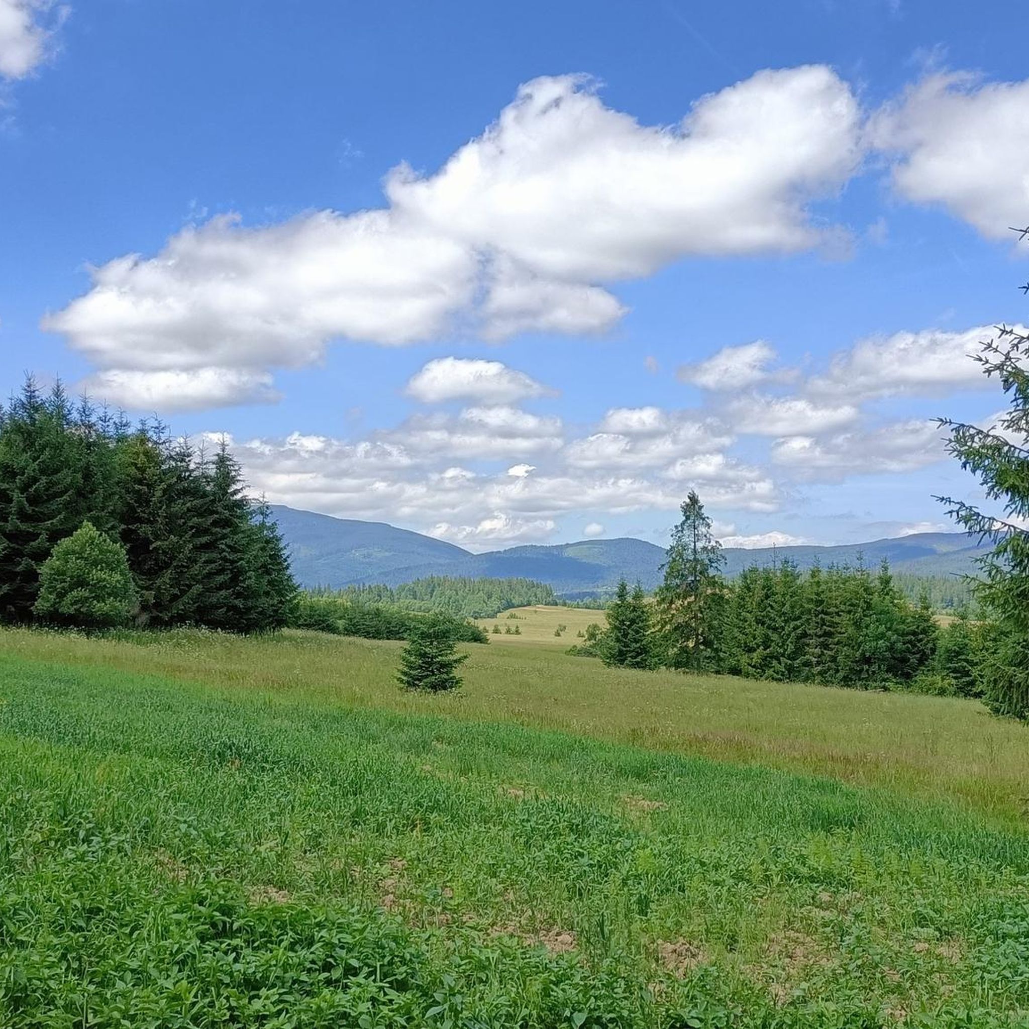
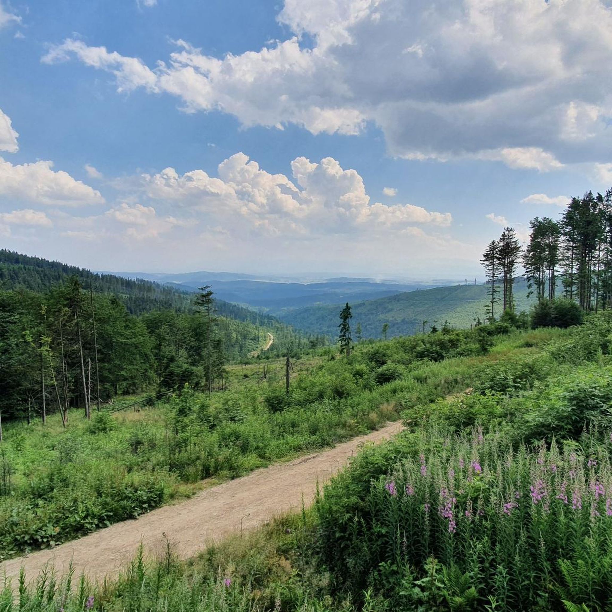
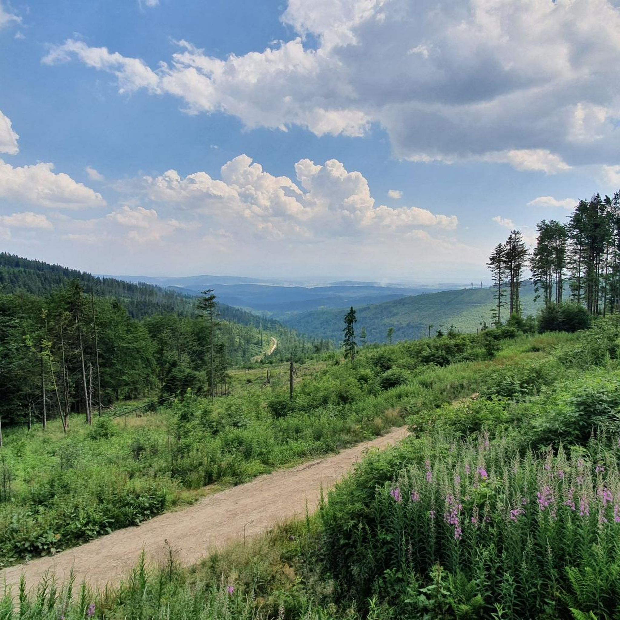

Tips from the Community

There's always a crowd, but plenty of space, so everyone can find their spot. A must-see on the route to Babia Góra.
0
0
The trails split. This is where the Perć Akademików trail begins - a ONE-WAY trail to Babia Góra.
0
0

From the Krowiarek Pass to Babia Góra, this is the first peak to be conquered, there are nice views and benches to rest on
0
0

Further information can be found at the following link: https://de.m.wikipedia.org/wiki/Diablak
1
0
Further information can be found at the following link: https://de.m.wikipedia.org/wiki/G%C3%B3wniak
1
0
Further information can be found at the following link: https://pl.m.wikipedia.org/wiki/K%C4%99pa_(Beskid_%C5%BBywiecki)
1
0
Further information can be found at the following link: https://de.m.wikipedia.org/wiki/Sokolica_(Saybuscher_Beskiden)
1
0
Further information can be found at the following link: https://de.m.wikipedia.org/wiki/Sokolica_(Saybuscher_Beskiden)
1
0
Frequently Asked Questions
How many hiking trails are available in gmina Jabłonka?
Gmina Jabłonka offers a diverse network of over 15 hiking trails. These routes vary in length and difficulty, providing options for different preferences and fitness levels.
What are the difficulty levels of hikes in gmina Jabłonka?
The trails in gmina Jabłonka cater to a range of abilities. There are 8 moderate routes, which are suitable for hikers with good fitness, and 7 difficult routes, requiring very good fitness, sure-footedness, and potentially alpine experience. The region's mountainous terrain, including the Babia Góra range, contributes to these varied challenges.
What do other hikers say about the trails in gmina Jabłonka?
The hiking trails in gmina Jabłonka are highly regarded by the komoot community, with an average rating of 4.7 stars from over 600 reviews. More than 16,000 hikers have explored the area, often praising the stunning panoramic views and the diverse mountainous landscapes.
What kind of landscapes and natural features can I expect to see while hiking?
Hikers in gmina Jabłonka will experience dramatic mountainous terrain, including the prominent Babia Góra range with peaks like Gówniak and Diablak. The region is also home to the protected Babia Góra National Park, offering unique flora and fauna. You can expect diverse landscapes from forested paths to high mountain passes.
Are there any notable viewpoints or observation decks along the trails?
Yes, the region boasts several impressive viewpoints. One notable spot is Sokolica, an observation deck at 1,367 meters, which offers breathtaking panoramic vistas of Babia Góra, Zawoja, and even the distant Tatra Mountains. Routes like the View from Sokolica – Gówniak loop from Przełęcz Krowiarki specifically highlight these scenic spots.
Are there any circular hiking routes in gmina Jabłonka?
Yes, several circular routes are available. For instance, the View from Sokolica – Gówniak loop from Przełęcz Krowiarki and the Wet Pond – View of Diablak loop from Polana-Kiczory are popular options that allow you to start and end at the same point, offering varied scenery throughout.
Are there family-friendly hiking options in gmina Jabłonka?
While many trails in gmina Jabłonka are moderate to difficult due to the mountainous terrain, the region does offer some easier paths suitable for all fitness levels. These shorter routes, typically up to 2 hours with less than 1,000 ft elevation gain, can be a good starting point for families looking to explore the natural beauty.
Can I hike with my dog in gmina Jabłonka?
Hiking with dogs in gmina Jabłonka requires careful planning, especially as parts of the region fall within Babia Góra National Park. National parks often have specific regulations regarding pets to protect wildlife. It's advisable to check the current rules of Babia Góra National Park before bringing your dog on trails within its boundaries.
What cultural or historical landmarks can I explore near the hiking trails?
Beyond the natural beauty, you can explore cultural gems nearby. The traditional wooden village of Chochołów, known as the 'pearl of Podhale,' is a short distance away. It features over a hundred protected wooden houses, offering a unique glimpse into local history and architecture.
Is public transport available to reach trailheads in gmina Jabłonka?
While specific public transport details to all trailheads are not provided, gmina Jabłonka's location near the Slovak border and within a popular hiking region suggests some local bus services might connect to key areas. For routes within Babia Góra National Park, it's recommended to check local transport schedules to access common starting points like Krowiarki Pass.
What is the best time of year to go hiking in gmina Jabłonka?
The best time for hiking in gmina Jabłonka is typically from late spring to early autumn (May to October). During these months, the weather is generally more favorable, and trails are clear of snow, allowing for better access to the mountainous terrain and panoramic views. Always check local weather forecasts before heading out.
Are there any challenging routes for experienced hikers?
Yes, gmina Jabłonka offers several challenging routes for experienced hikers. These include trails that demand very good fitness, sure-footedness, and sturdy shoes, sometimes requiring alpine experience. An example is the Babia Gora (Diablak) – Stream in CHKO Horná Orava loop from Kiczory, which involves significant elevation gain and covers a longer distance.
Most popular routes around gmina gmina Jabłonka
Most popular attractions around gmina gmina Jabłonka

Get inspired with the komoot mobile app


Explore more
Browse the best Hikes in other regions.
