The 14 Most Amazing Peaks around Engelhartszell an der Donau
Mountain peaks around Engelhartszell an der Donau offer access to elevated points and viewpoints in the scenic Upper Austria region. The area is characterized by hills and the Danube Valley, providing opportunities for hiking and appreciating natural landscapes. While not featuring towering alpine peaks, the surrounding terrain offers rewarding experiences for outdoor enthusiasts. This region is known for its combination of natural features and cultural landmarks.
Best mountain peaks around Engelhartszell an der Donau
- The most popular mountain peaks is…
Last updated: June 29, 2026
Haugstein Summit (895 m)
Highlight • Summit
Translated by Google •
Tip by

Eidenberger Lusen Summit
Highlight • Summit
Translated by Google •
Tip by
Sign up now to discover places like this
Get recommendations on the best single tracks, peaks, & plenty of other exciting outdoor places.
Sign up for free
Ameisberg Tower
Highlight • Viewpoint
Translated by Google •
Tip by

Lutzenkreuz
Highlight • Summit
A popular destination for everyone because it is easy to reach...on foot or by bike. A wonderful place to rest or for a bike ride.
Translated by Google •
Tip by

View of the Schlögener Schlinge from the Steiner Felsen
Highlight • Viewpoint
Translated by Google •
Tip by

Sign up for free to discover even more peaks around Engelhartszell an der Donau.
Sign up for free
Already have an account?
Start today with a free account
Your next adventure awaits.
Login or Signup
Popular around Engelhartszell an der Donau

Danube Trail – Legendary long-distance hiking along the Danube River

Simply amazing – 13 hikes along the Donausteig
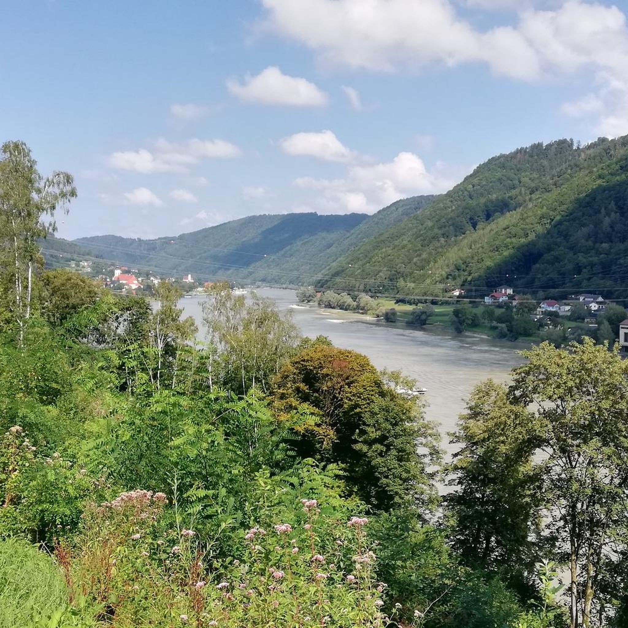
Cycling around Engelhartszell an der Donau
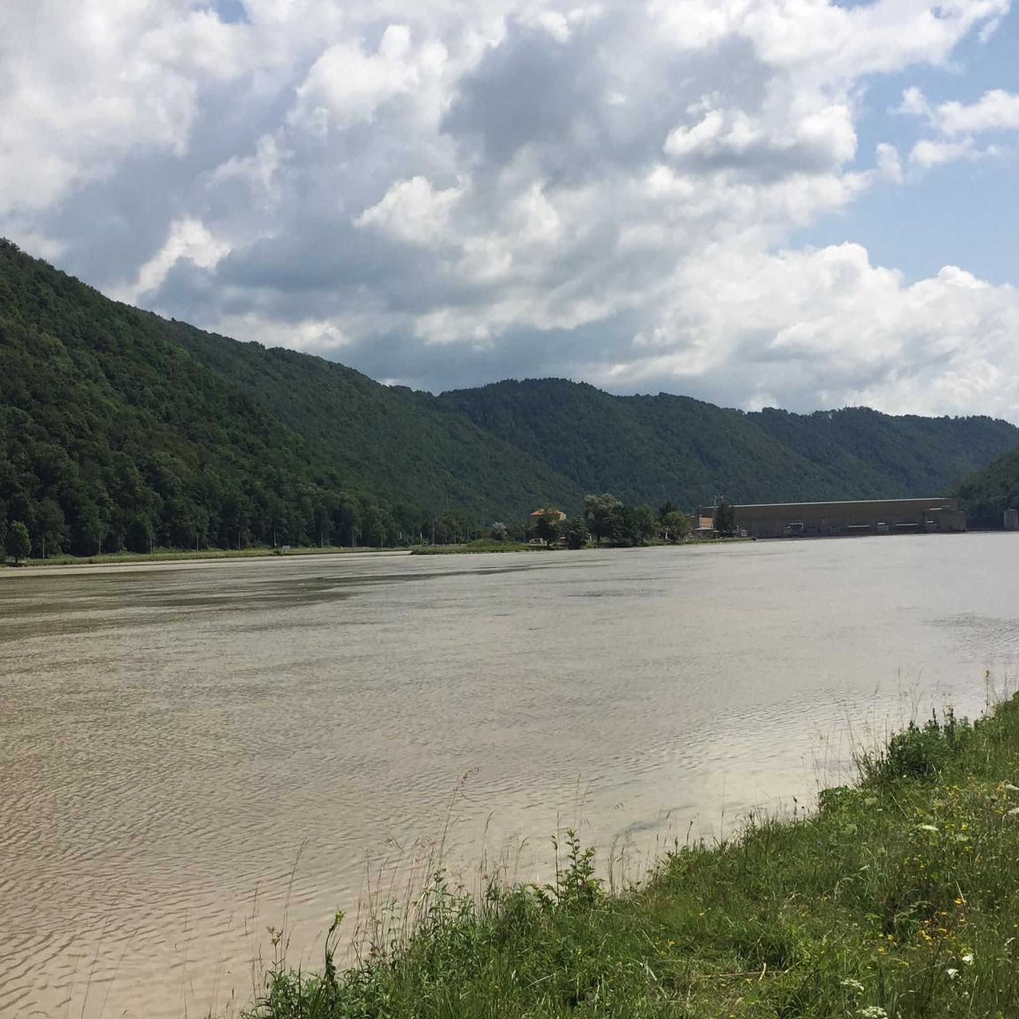
MTB Trails around Engelhartszell an der Donau
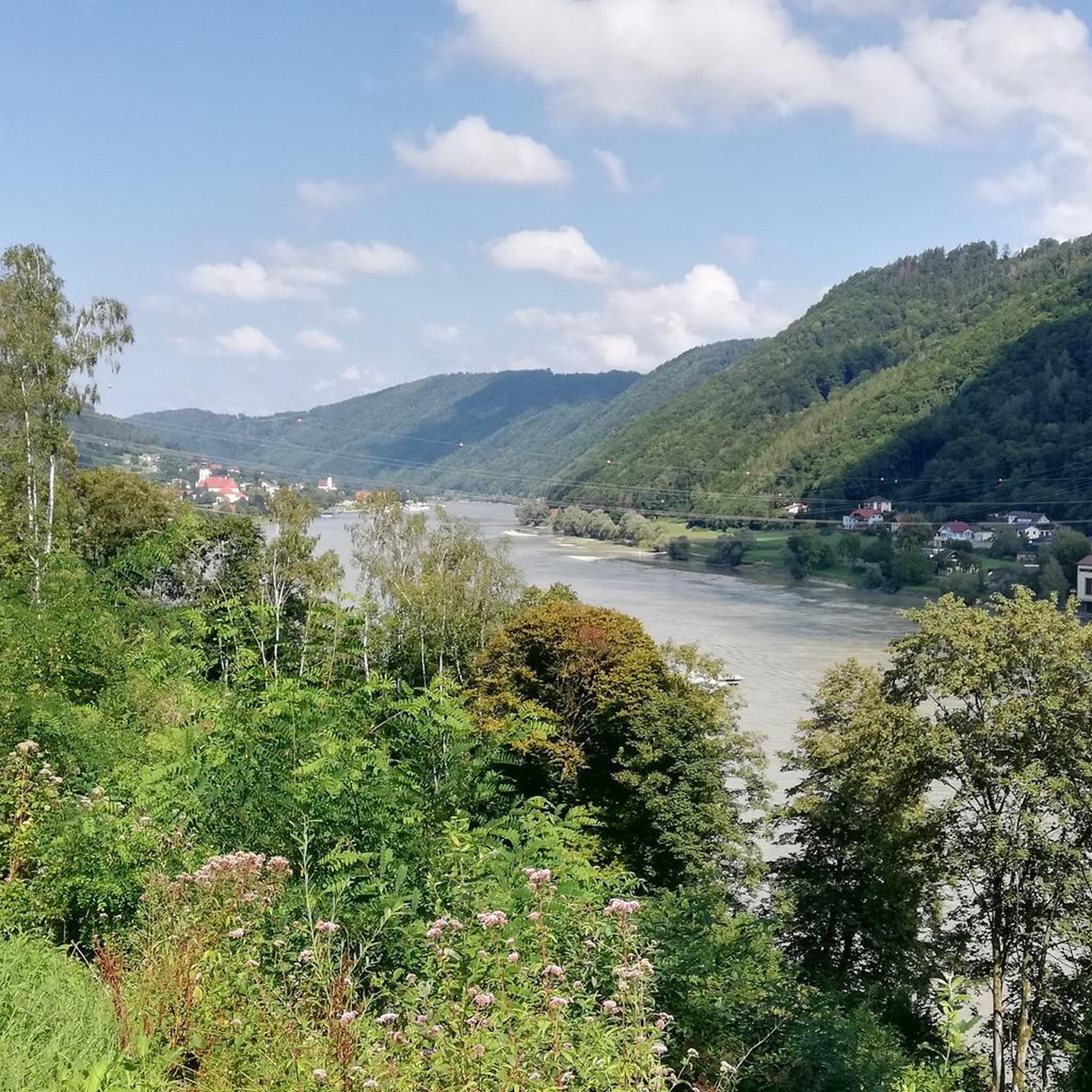
Hiking around Engelhartszell an der Donau
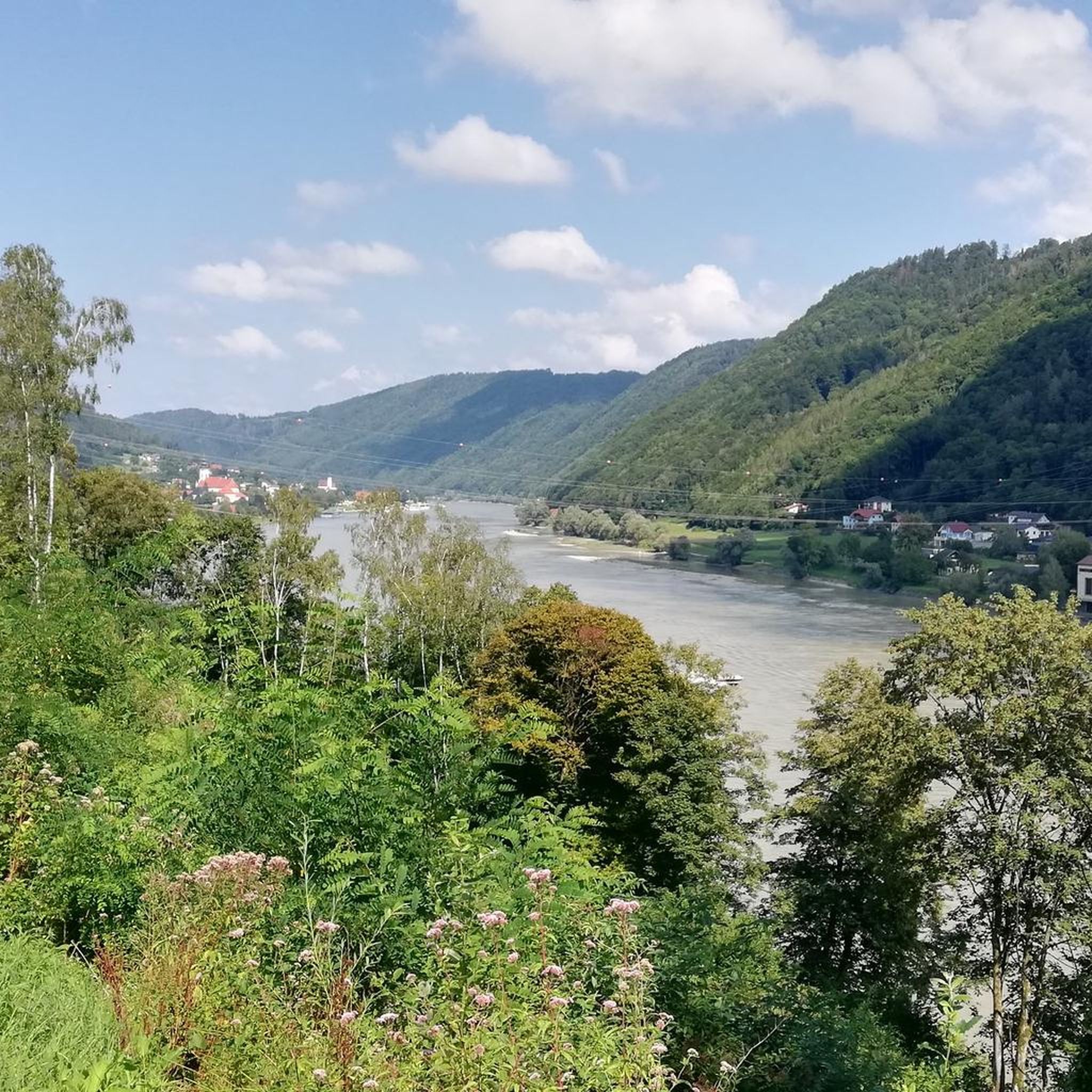
Road Cycling Routes around Engelhartszell an der Donau
Running Trails around Engelhartszell an der Donau

Mountain Hikes around Engelhartszell an der Donau

Gravel biking around Engelhartszell an der Donau
Other adventures around Engelhartszell an der Donau


Tips from the Community

Beautiful viewpoint, from Inzell the path is partly quite steep and rocky.
1
0

The Steinerfelsen summit invites you to rest and enjoy the beautiful view of the Danube.
1
0

This is one of the most famous photo spots on the Danube. Definitely worth a visit 😉.
2
0
The Lutzenkreuz is the highest elevation in the Mühlviertel municipality of Putzleinsdorf and is beautifully situated in the forest with a lovely rest area.
0
1

Short climb to push, but it's definitely worth it 🤩
0
0

Beautiful hiking trails and also an experience with the mountain bike
3
0

The Haugstein is the highest elevation in the Innviertel
1
1

Unfortunately mostly closed as it is privately owned.
4
0
Frequently Asked Questions
What are some of the most popular viewpoints around Engelhartszell an der Donau?
The region offers several highly-rated viewpoints. The Penzenstein Viewpoint, Chapel and Summit Cross is a popular lookout rock above the Danube, offering magnificent panoramic views of the Danube Valley and the Jochenstein power plant. Another must-see is the Ameisberg Tower, a 24-meter-high structure at the 941-meter summit of Ameisberg, providing extensive panoramic views.
Are there any mountain peaks with historical significance near Engelhartszell an der Donau?
Yes, the Haugstein Summit (895 m) is notable not only for its natural beauty but also for the nearby Haugstein Plane Crash Memorial, which adds a contemplative historical aspect to hikes in the area.
What kind of natural features can I expect to see from the mountain peaks?
From the various peaks and viewpoints, you can expect to see expansive views of the Danube Valley, dense forests, and the surrounding hilly landscape of Upper Austria. For instance, from Eidenberger Lusen Summit, you get nearly 180-degree views over Wegscheid to the Dreisesselberg massif, the Steinerne Meer, Plöckenstein, Hochficht, and the Rannastausee.
Are there family-friendly mountain peaks or viewpoints suitable for children?
Yes, several locations are considered family-friendly. The Eidenberger Lusen Summit and Ameisberg Tower are both categorized as family-friendly. The Lutzenkreuz is also a popular destination for families due to its easy accessibility on foot or by bike.
What are some easy hiking options to reach viewpoints near Engelhartszell an der Donau?
For easier walks with rewarding views, consider routes to the View of Jochenstein. There's a loop from Jochenstein that is only 5.19 km and takes about 1 hour and 19 minutes, with minimal elevation gain. Another easy option is a shorter 3.76 km loop from Kraftwerk Jochenstein. You can find more easy hikes in the Easy hikes around Engelhartszell an der Donau guide.
Are there moderate hiking trails that include mountain peaks in the region?
Absolutely. A moderate loop hike incorporating the Haugstein Summit (895 m) and the Haugstein Plane Crash Memorial from Engelhartszell an der Donau is a popular choice, typically taking around 2 hours and 15 minutes to complete a 7.23 km route. The Penzenstein Viewpoint also has super beautiful and challenging hiking trails around it. For more options, check the Mountain Hikes around Engelhartszell an der Donau guide.
What cultural or spiritual sites can be found at these mountain peaks?
The Penzenstein Viewpoint features a small chapel where annual pilgrimages are held every 13th of the month during summer, adding a cultural and spiritual dimension to the visit. The Eidenberger Lusen Summit also has a summit cross made of flat granite stones.
What do visitors enjoy most about the mountain peaks around Engelhartszell an der Donau?
Visitors frequently praise the stunning panoramic views, especially over the Danube Valley and towards landmarks like the Jochenstein power station. The combination of natural beauty with accessible hiking trails and the presence of unique features like the Ameisberg Tower or the Haugstein Plane Crash Memorial are also highly appreciated. Many enjoy the peaceful atmosphere and the opportunity for a good workout with rewarding vistas.
Can I visit the Donaublick Penzenstein viewpoint year-round?
Yes, the Donaublick Penzenstein is accessible year-round, allowing visitors to enjoy its magnificent panoramic views of the Danube Valley and the Jochenstein power plant in any season.
Are there any mountain peaks that offer views of the Rannastausee?
Yes, from the 733-meter-high Eidenberger Lusen Summit, you can enjoy views that extend to the west, including the Rannastausee (Ranna Reservoir).
What other outdoor activities can I do near the mountain peaks?
Beyond hiking, the area around Engelhartszell an der Donau offers opportunities for running and mountaineering. You can explore various routes, such as the 'Schlögen Loop' for mountaineering or different running trails. For more details, refer to the Mountain Hikes around Engelhartszell an der Donau and Running Trails around Engelhartszell an der Donau guides.
Which mountain peak is the highest in the Sauwald region?
The Haugstein Summit (895 m) is the highest mountain in the Sauwald and the entire Donausteig, located in the Upper Austrian district of Schärding.
Most popular routes around Engelhartszell an der Donau
Most popular attractions around Engelhartszell an der Donau

Get inspired with the komoot mobile app


Explore more
See even more amazing summits around Engelhartszell an der Donau with these guides:
