The best running trails around Engelhartszell an der Donau
4.5
(143)
1,297
runners
103
runs
Jogging routes around Engelhartszell an der Donau are situated in the upper Danube valley, characterized by a tranquil river landscape and forested hills. The region features a significant portion of forests and farmland, providing diverse scenery for outdoor activities. The Danube River is a central element, with opportunities to run along its banks, including paths near the dramatic Schlögener Schlinge.
Best jogging routes around Engelhartszell an der Donau
- The most popular jogging route is Niederranna Danube Bridge – Draxler Inn…
Last updated: July 2, 2026
18
runners
7.69km
00:49
80m
80m
Moderate run. Good fitness required. Mostly paved surfaces. Suitable for all skill levels.
12
runners
Hard run. Very good fitness required. Mostly paved surfaces. Suitable for all skill levels.

Sign up for free
11
runners
20.7km
02:12
270m
270m
Hard run. Very good fitness required. Mostly paved surfaces. Suitable for all skill levels.
7
runners
9.46km
01:13
340m
350m
Hard run. Very good fitness required. Mostly paved surfaces. Suitable for all skill levels.
6
runners
7.64km
00:48
90m
90m
Moderate run. Good fitness required. Mostly paved surfaces. Suitable for all skill levels.
Get access to more routes and recommendations from other explorers.
Sign up for free
Already have an account?
Our route recommendations are based on thousands of hikes, rides, and runs completed by other people on komoot.
Start today with a free account
Your next adventure awaits.
Login or Signup
Popular around Engelhartszell an der Donau

Danube Trail – Legendary long-distance hiking along the Danube River

Simply amazing – 13 hikes along the Donausteig
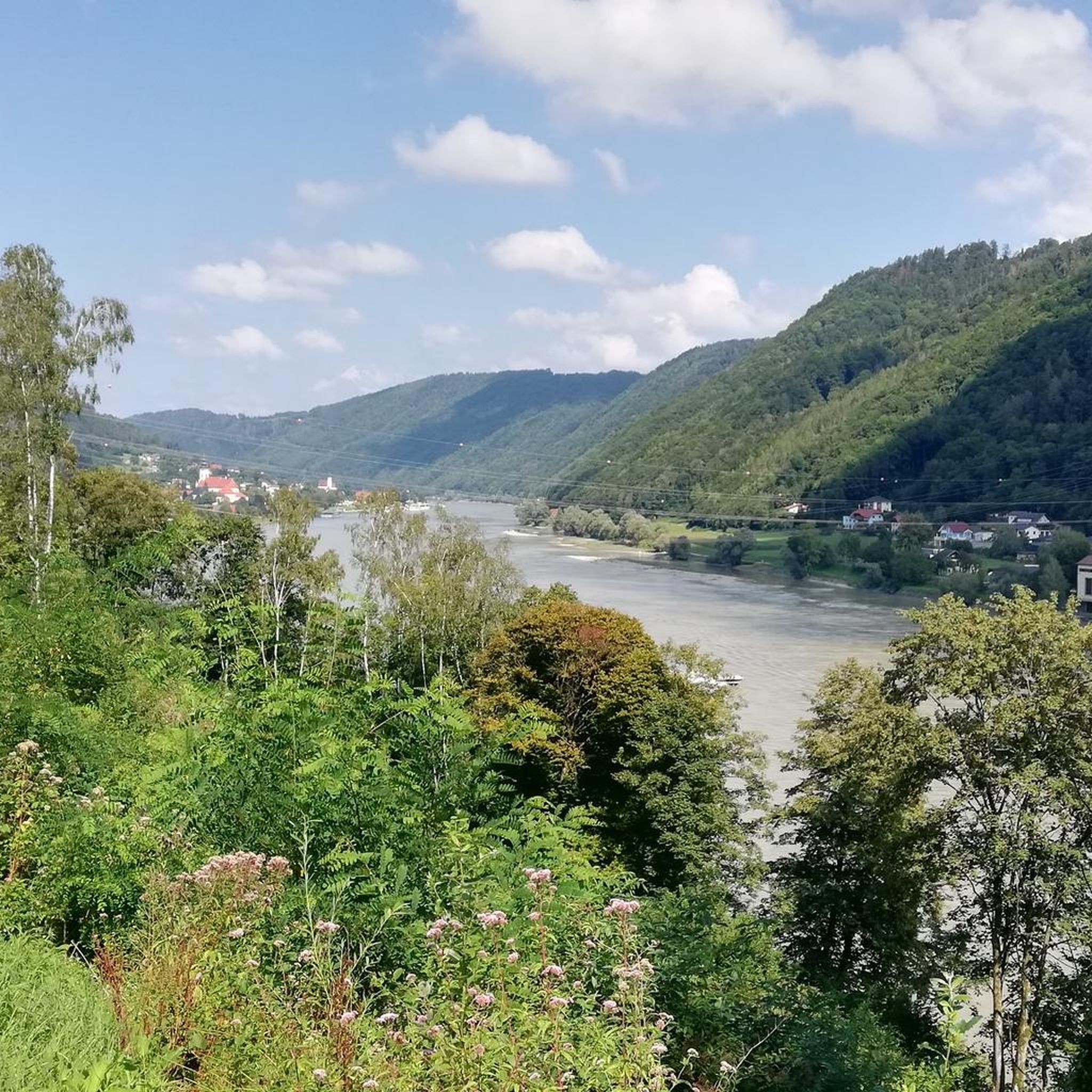
Cycling around Engelhartszell an der Donau
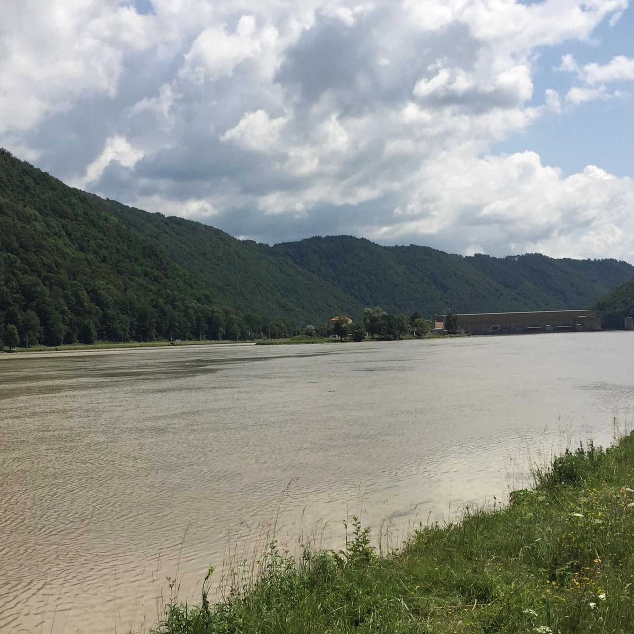
MTB Trails around Engelhartszell an der Donau
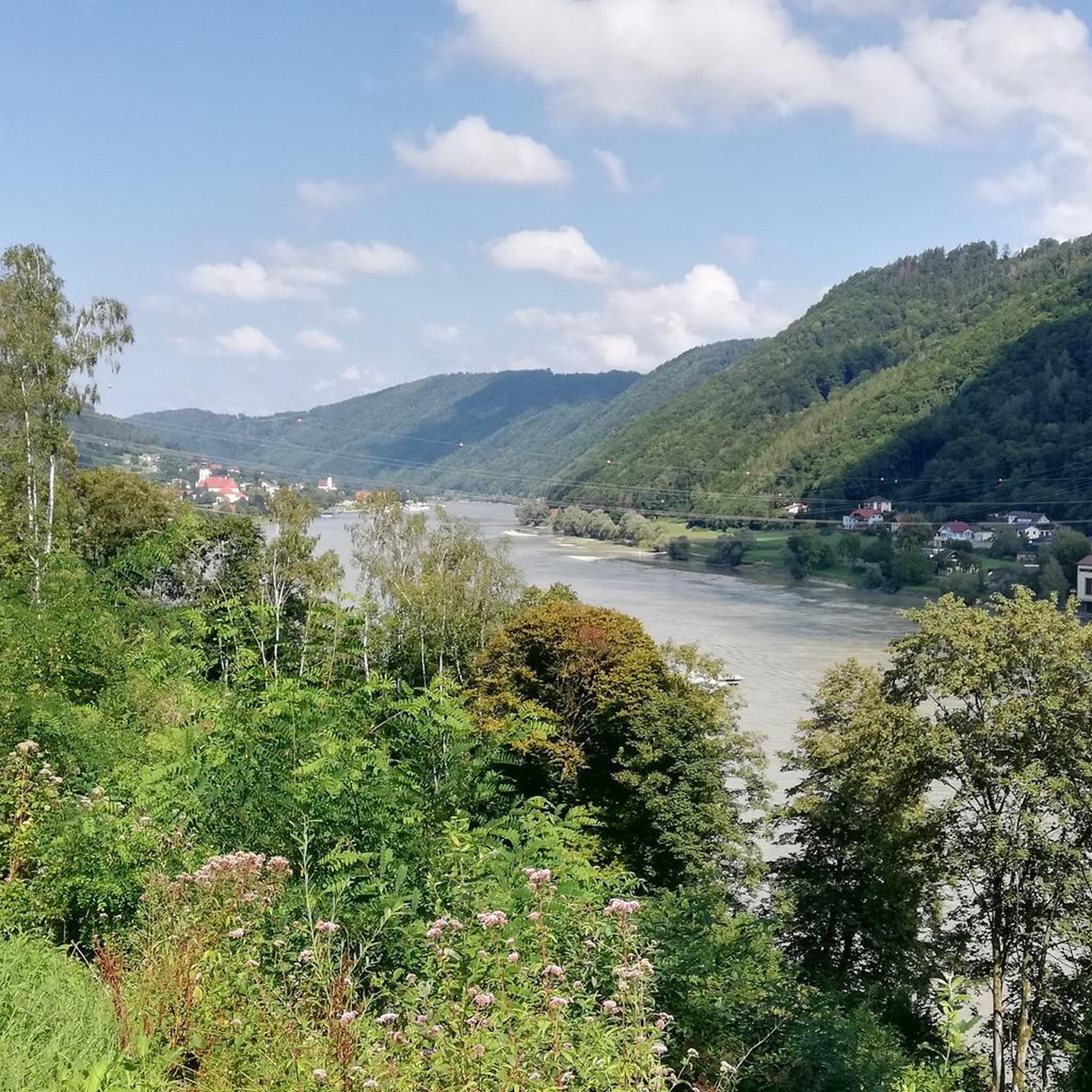
Hiking around Engelhartszell an der Donau
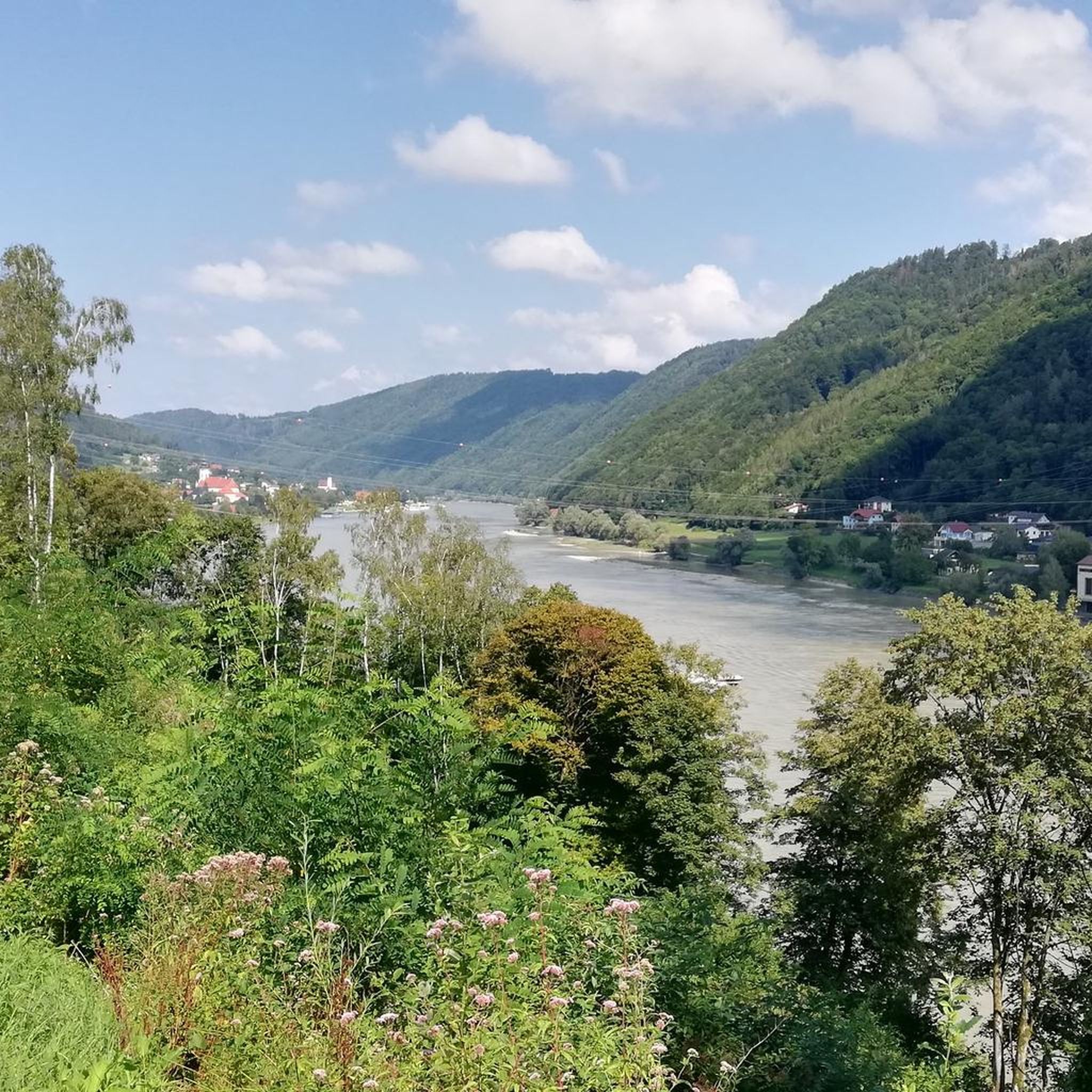
Road Cycling Routes around Engelhartszell an der Donau

Mountain Hikes around Engelhartszell an der Donau

Gravel biking around Engelhartszell an der Donau
Other adventures around Engelhartszell an der Donau


Tips from the Community

This old linden avenue by the castle is very handsome, but today it houses a florist who will surely fulfill every wish.
0
0


Beautiful memorial in the middle of the forest
1
0


Many beautiful hikes start from here, and the panoramic view is also available - Viechtenstein is located at this spot.
1
0


Frequently Asked Questions
How many running routes are available in Engelhartszell an der Donau?
There are over 100 running routes in Engelhartszell an der Donau, offering a wide range of options for different fitness levels and preferences. The komoot community has explored more than 100 trails in the region.
What kind of terrain can I expect on the running trails around Engelhartszell an der Donau?
The terrain varies significantly. You'll find both flat stretches along the Danube River and more challenging inclines through forested hills and farmland. The region is characterized by its tranquil river landscape and extensive forests, providing diverse scenery for your runs.
Are there any notable natural features or landmarks to see while running?
Yes, the region is rich in scenic beauty. You can run along the majestic Danube River, experiencing the dramatic Schlögener Schlinge (Schlögen Loop) or the Steinerberg Danube Loop. Other points of interest include the Jochenstein rock island with a statue of Saint John of Nepomuk and the impressive Jochenstein Lock and Hydropower Plant.
Are there family-friendly running options in the area?
Yes, Engelhartszell an der Donau offers several easy running paths that are suitable for families. These often follow the flatter sections along the Danube River, providing a pleasant and accessible experience for all ages. There are 7 easy routes available.
Can I bring my dog on the running trails?
Generally, the extensive network of paths through forests and along the Danube in Engelhartszell an der Donau is suitable for running with dogs. However, it's always advisable to keep your dog on a leash, especially in nature protection areas or near livestock, and to respect local regulations.
Are there many circular running routes in Engelhartszell an der Donau?
Yes, many of the running routes in the region are designed as loops, allowing you to start and finish at the same point. For example, the popular Niederranna Danube Bridge – Draxler Inn loop from Wesenufer is a moderate 4.8-mile (7.7 km) option along the Danube.
Where can I find more challenging running trails with significant elevation?
For those seeking a challenge, Engelhartszell an der Donau has 17 difficult routes. Trails like the Fitness Trail Mühlviertel – Willramsbach Stream loop from Schloss Rannariedl, which covers 9.8 miles (15.8 km) with considerable elevation, offer a demanding workout through varied terrain.
Are there easy, flat running paths suitable for beginners?
Absolutely. The paths along the Danube River provide excellent flat stretches ideal for beginners or those looking for a less strenuous run. These routes offer beautiful river views without significant elevation changes.
What do other runners enjoy the most about jogging in Engelhartszell an der Donau?
The area is highly rated by the komoot community, with an average score of 4.5 stars from over 100 reviews. Runners often praise the diverse scenery, from tranquil river landscapes to forested hills, and the well-maintained network of paths that cater to various difficulty levels.
Are there any long-distance running trails available?
Yes, for runners looking for longer distances, there are several options. The Fitness Trail Mühlviertel – Ranna Reservoir Dam loop from St. Aegidi is a notable example, stretching 12.9 miles (20.7 km) through varied terrain, often completed in about 2 hours and 12 minutes.
What is the best time of year for running in Engelhartszell an der Donau?
The region is suitable for running throughout much of the year. Spring and autumn offer pleasant temperatures and vibrant natural colors, while summer provides longer daylight hours. Even in winter, many paths remain accessible, offering a serene experience amidst the snowy landscape, though some higher or less maintained trails might be challenging.
Are there running routes that lead to scenic viewpoints?
Yes, several routes offer breathtaking panoramic views. The paths leading to viewpoints overlooking the Schlögener Schlinge are particularly rewarding, though they can be steep. You can also find routes near the Haugstein Summit (895 m) or the Ameisberg Tower, which provide elevated perspectives of the Danube valley and surrounding landscapes.
Most popular routes around Engelhartszell an der Donau
Most popular attractions around Engelhartszell an der Donau

Get inspired with the komoot mobile app


Explore more
Browse the best Running Trails & Routes in other regions.
