The best mountain hikes around Engelhartszell an der Donau
4.7
(3)
52
hikers
6
hikes
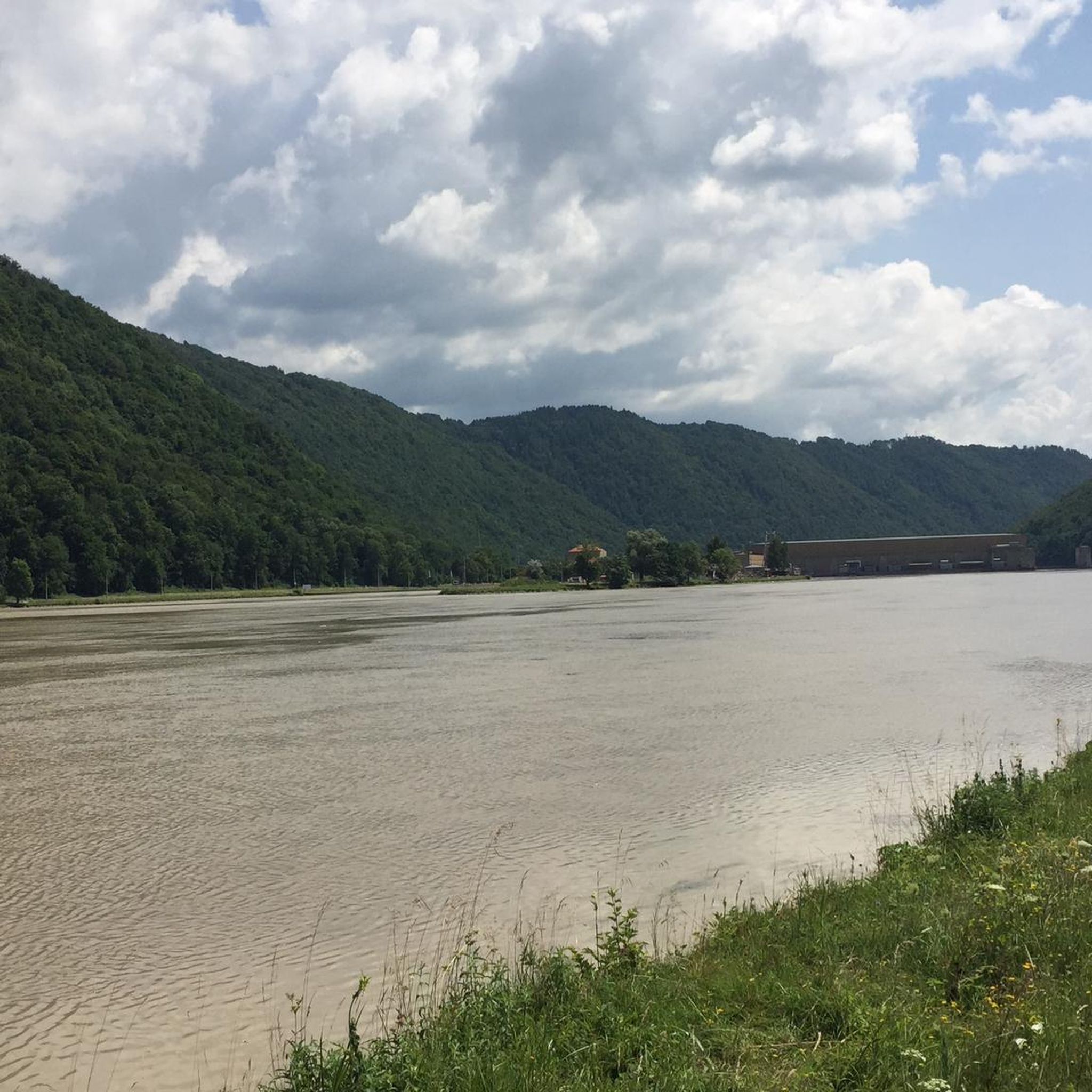
Mountaineering routes around Engelhartszell an der Donau are characterized by the dramatic bends of the Danube River and surrounding wooded hills. The region features significant elevation gains, particularly around the Schlögen Loop and towards the Haugstein Summit. While not high alpine, the terrain offers challenging uphill trekking through diverse landscapes including river valleys and nature reserves.
Best mountaineering routes around Engelhartszell an der Donau
- The most popular mountaineering route is Schlögen Loop – Schlögen Loop loop from Schlögen, a…
Last updated: July 2, 2026
5.0
(1)
14
hikers
11.8km
03:30
320m
320m
Moderate mountaineering route. Good fitness required. Easily-accessible paths. Suitable for all skill levels.
8
hikers
Moderate mountaineering route. Good fitness required. Easily-accessible paths. Suitable for all skill levels.

Sign up for free
4.0
(1)
10
hikers
3.66km
01:18
200m
200m
Easy mountaineering route. Great for any fitness level. Easily-accessible paths. Suitable for all skill levels.
7
hikers
9.76km
02:59
340m
350m
Moderate mountaineering route. Good fitness required. Easily-accessible paths. Suitable for all skill levels.
5.0
(1)
7
hikers
5.53km
01:40
170m
170m
Easy mountaineering route. Great for any fitness level. Easily-accessible paths. Suitable for all skill levels.
Our route recommendations are based on thousands of hikes, rides, and runs completed by other people on komoot.
Start today with a free account
Your next adventure awaits.
Login or Signup
Popular around Engelhartszell an der Donau

Danube Trail – Legendary long-distance hiking along the Danube River

Simply amazing – 13 hikes along the Donausteig
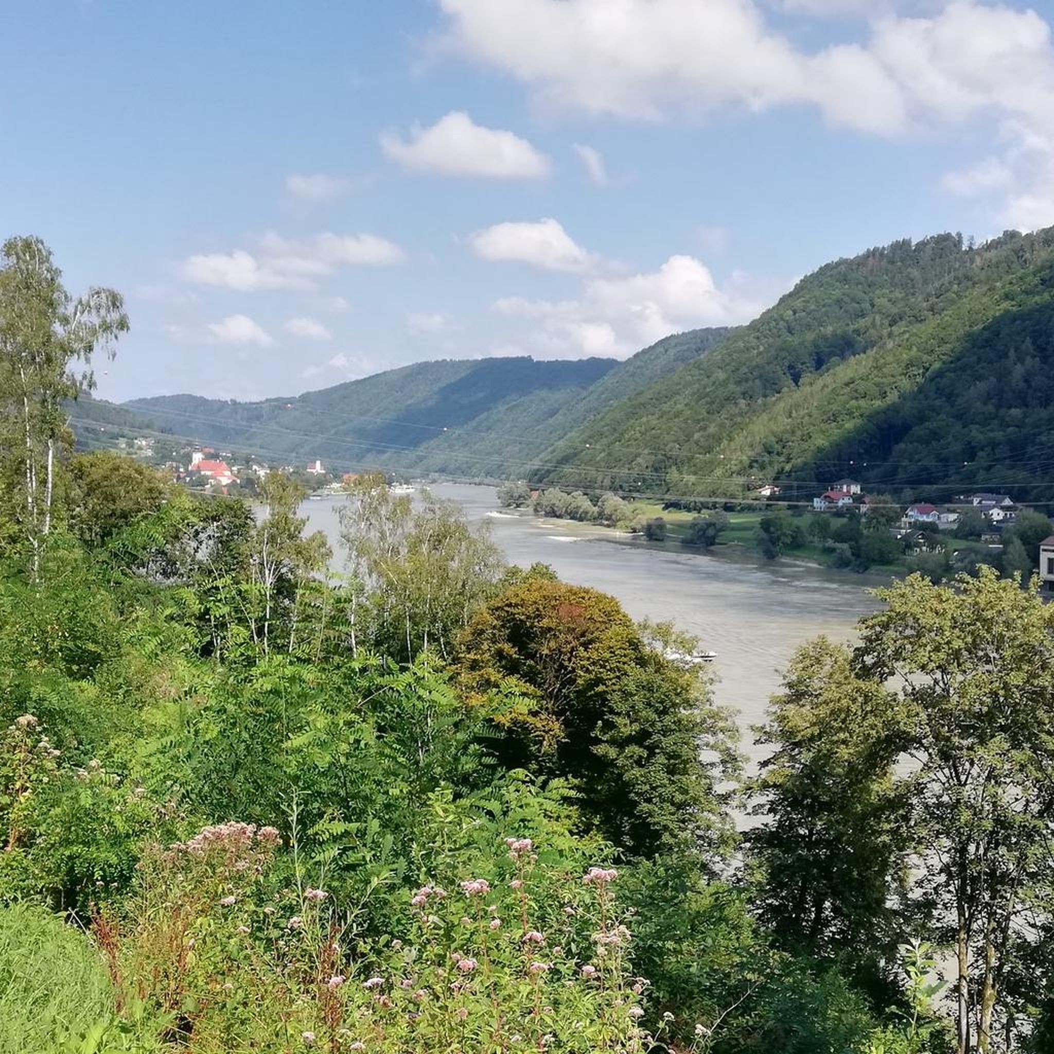
Cycling around Engelhartszell an der Donau
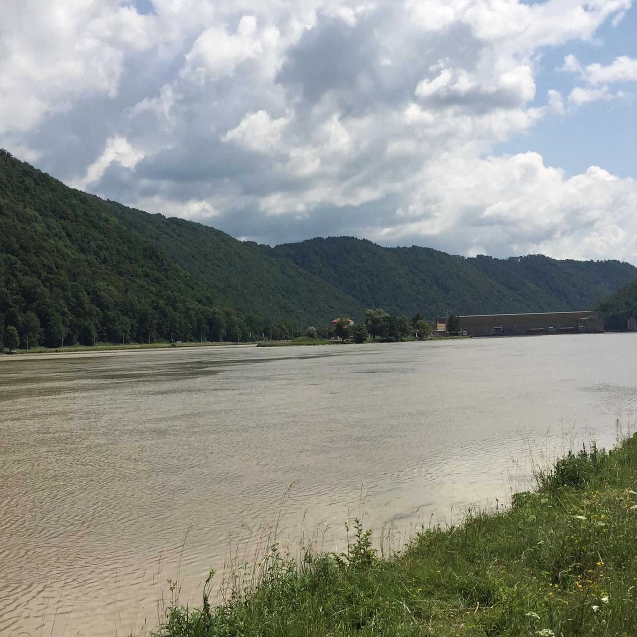
MTB Trails around Engelhartszell an der Donau
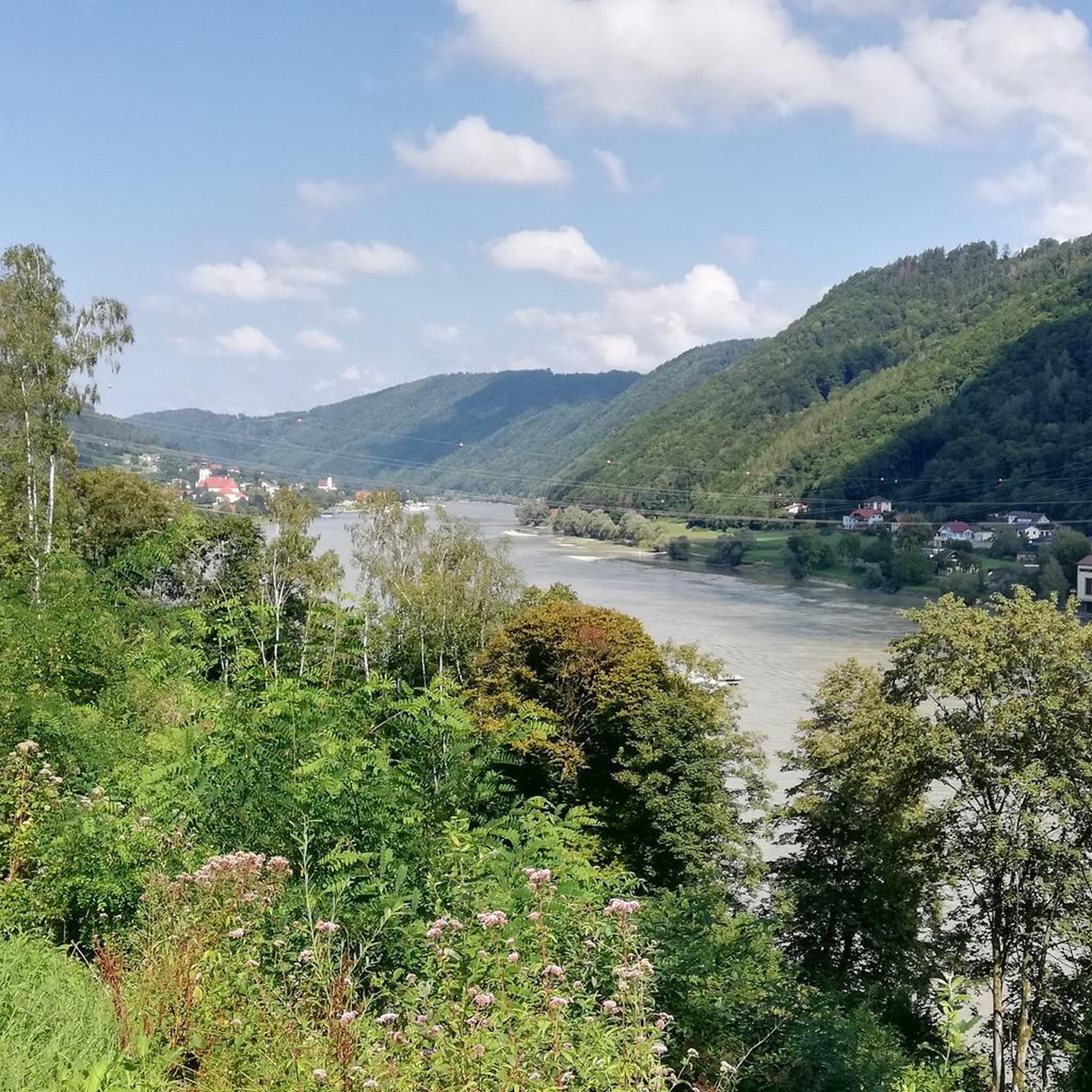
Hiking around Engelhartszell an der Donau
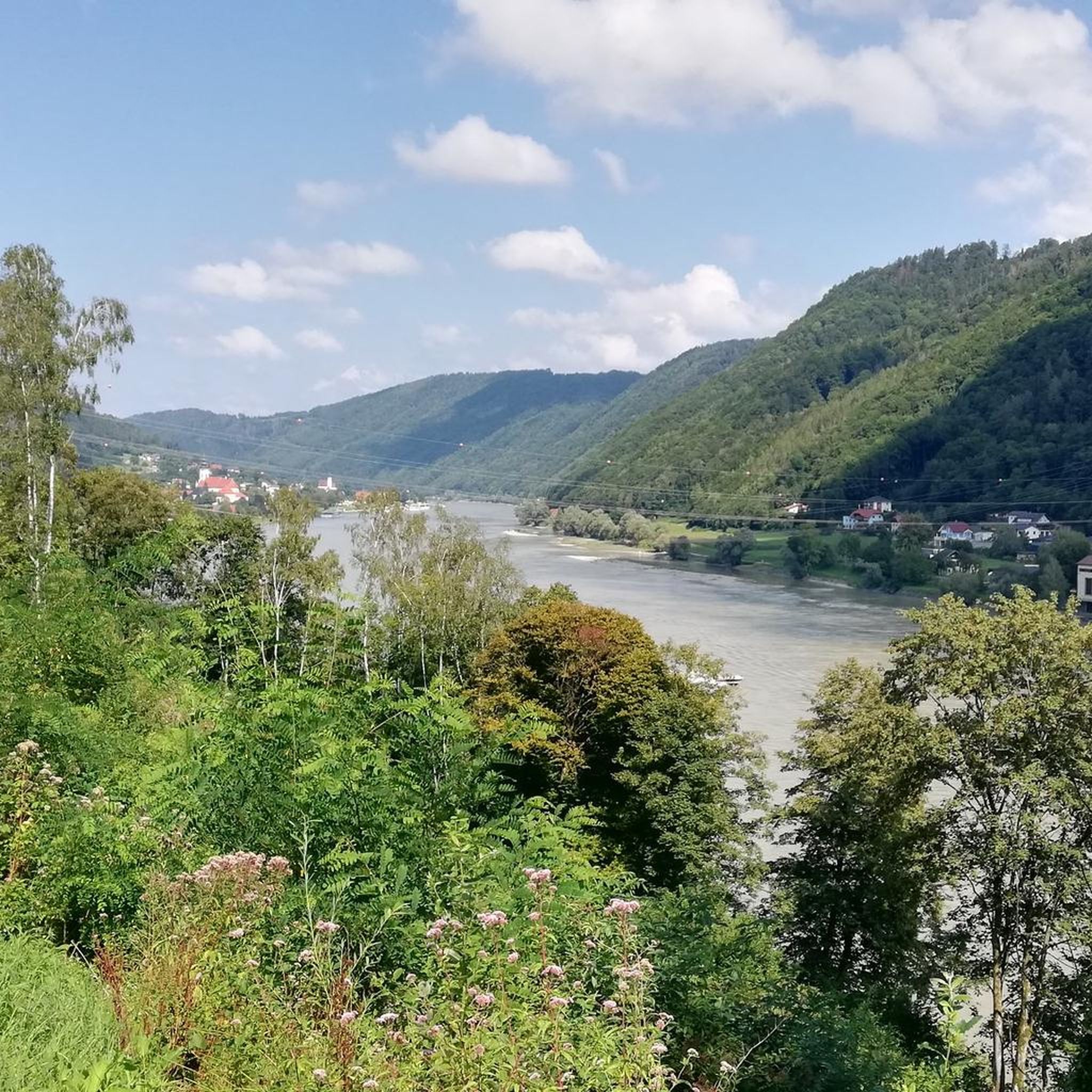
Road Cycling Routes around Engelhartszell an der Donau
Running Trails around Engelhartszell an der Donau

Gravel biking around Engelhartszell an der Donau
Other adventures around Engelhartszell an der Donau


Tips from the Community

Maierhof viewpoint with panoramic views of Bavaria.
0
0

Beautiful viewpoint, from Inzell the path is partly quite steep and rocky.
1
0

Beautiful memorial in the middle of the forest
1
0

From here you can start many hikes.
1
0
The Steinerfelsen summit invites you to rest and enjoy the beautiful view of the Danube.
1
0

with a bell that you can operate yourself
1
0

This is one of the most famous photo spots on the Danube. Definitely worth a visit 😉.
2
0
Frequently Asked Questions
How many mountaineering routes are available around Engelhartszell an der Donau?
There are several mountaineering routes around Engelhartszell an der Donau, offering diverse experiences. Komoot lists 6 distinct routes, ranging from easy to moderate difficulty, with options for various fitness levels.
What kind of terrain can I expect on mountaineering routes in this region?
The terrain around Engelhartszell an der Donau is characterized by the dramatic bends of the Danube River and surrounding wooded hills. You can expect significant elevation gains, particularly around the famous Schlögen Loop and towards the Haugstein Summit. Some paths, like those leading to the Schlögen Loop viewpoint, can be quite steep and rocky, requiring sure footing.
Are there any easy mountaineering routes suitable for beginners?
Yes, there are easy routes perfect for beginners. For example, the View of the Schlögener Loop loop from Schlögen is an easy 2.1-mile (3.3 km) trail that takes about 1 hour 13 minutes, offering stunning views without extreme difficulty. Another easy option is the Chapel at Eidenberger Lusen – Bärnlochweg Shelter loop from Oberkappel.
What are some notable viewpoints or natural features to see on these routes?
The region is famous for the dramatic Schlögen Loop, where the Danube makes a horseshoe bend, offering breathtaking panoramic views from elevated points. The Haugstein Summit (895 m) also provides expansive views. The Donauleiten nature reserve offers opportunities to experience the region's biodiversity.
Are there any circular mountaineering routes available?
Yes, many routes in the area are circular. A popular choice is the Schlögen Loop – Schlögen Loop loop from Schlögen, which is 7.3 miles (11.8 km) long. Another excellent circular option is the Haugstein Summit (895 m) – Vichtenstein Castle loop from Engelhartszell an der Donau.
What historical or cultural attractions can I find near the mountaineering trails?
You can combine your outdoor activity with cultural exploration. The Vichtenstein Castle is a notable historical site, often included in routes like the Vichtenstein Castle – Haugstein Summit (895 m) loop from Vichtenstein. Additionally, the Engelszell Abbey, Austria's only Trappist monastery, is a significant attraction in the region.
Is Engelhartszell an der Donau suitable for family-friendly mountaineering?
While some routes involve significant elevation, there are options suitable for families. The easy routes, such as the View of the Schlögener Loop loop from Schlögen, are shorter and less strenuous, making them more accessible for families with children. Always check the route details for distance and elevation to ensure it matches your family's capabilities.
What do other mountaineers enjoy most about the routes in Engelhartszell an der Donau?
The area is highly rated by the komoot community, with an average score of 4.7 stars. Reviewers often praise the stunning panoramic views of the Danube, the diverse landscapes ranging from river valleys to wooded hills, and the rewarding challenge of the uphill treks.
Are there places to eat or get refreshments along the mountaineering routes?
Engelhartszell an der Donau and its surrounding villages offer various gastronomic options. While specific cafes directly on every trail might be limited, you'll find places to eat and drink in the towns and villages at the start or end points of many routes, such as Engelhartszell itself or Schlögen.
What is the best time of year for mountaineering in Engelhartszell an der Donau?
The best time for mountaineering in Engelhartszell an der Donau is typically from spring through autumn. During these seasons, the weather is generally mild, and the trails are clear. While winter mountaineering is possible, some paths might be slippery or require appropriate gear due to snow or ice, especially at higher elevations.
Where can I park when accessing mountaineering routes in Engelhartszell an der Donau?
Parking is generally available in the towns and villages that serve as starting points for the routes, such as Engelhartszell an der Donau or Schlögen. Look for designated parking areas near trailheads or in the village centers. It's always advisable to check local signage for any parking restrictions or fees.
Can I reach the mountaineering routes using public transport?
Yes, Engelhartszell an der Donau is accessible by public transport. The Danube Cycle Path also runs through the area, and a bike and pedestrian ferry connects Engelhartszell with Kramesau, offering alternative ways to access different parts of the region and its trails.
Most popular routes around Engelhartszell an der Donau
Most popular attractions around Engelhartszell an der Donau

Get inspired with the komoot mobile app


Explore more
Browse the best Mountain Hikes & Routes in other regions.
