The best running trails in San Jacinto Wilderness
4.8
(13)
346
runners
51
runs
Jogging in San Jacinto Wilderness offers a diverse range of experiences across its unique "sky island" environment. The region features dramatic elevation changes, transitioning from arid desert to sub-alpine forests and alpine regions, with Mount San Jacinto Peak reaching 10,834 feet. Runners can explore extensive trail networks through pine-scented forests, lush mountain meadows, and areas characterized by magnificent granite peaks and rock formations. This ecological diversity provides a constantly changing backdrop for running routes, catering to various fitness levels.
Best…
Last updated: June 29, 2026
12
runners
12.2km
01:41
440m
440m
The Ernie Maxwell Scenic Trail offers a dynamic jogging experience through diverse forest types, from oak and pine to manzanita, providing a shaded escape. As you navigate the singletrack dirt…
7
runners
13.4km
01:57
680m
680m
Hard run. Very good fitness required. Mostly paved surfaces. Suitable for all skill levels.

Sign up for free
5.0
(1)
6
runners
29.8km
04:29
1,570m
1,560m
Hard run. Very good fitness required. Mostly paved surfaces. Suitable for all skill levels.
20
runners
16.0km
02:21
730m
730m
The San Jacinto Peak via Round Valley Trail offers an unforgettable jogging experience, taking you through diverse terrain from lush pine forests and meadows to exposed alpine environments. You'll start…
13
runners
10.8km
01:34
560m
560m
If you're seeking a truly rewarding challenge, the Suicide Rock via Deer Springs Trail delivers a difficult 6.7-mile (10.8 km) jogging experience, climbing 1850 feet (564 metres) in roughly 1…
Get access to more routes and recommendations from other explorers.
Sign up for free
Already have an account?
Our route recommendations are based on thousands of hikes, rides, and runs completed by other people on komoot.
Start today with a free account
Your next adventure awaits.
Login or Signup

Other adventures in San Jacinto Wilderness

Tips from the Community


The Ernie Maxwell Trail winds through the San Jacinto Mountains in Idyllwild. Spanning 5.5 miles, it showcases lush forests, mountain views, and serene meadows, offering a peaceful and invigorating experience for runners.
0
0

The Deer Springs Trail is a popular hiking trail in the Mount San Jacinto State Park, California. It offers stunning views of the surrounding mountains and valley while leading through diverse landscapes, including pine forests, meadows, and rocky terrain.
0
0

Wellman Divide is at a trail junction at 9700 feet above sea level. From here you can choose to go... South on Wellman's Cienaga Trail... East on Round Valley trail, taking you back to the restaurant... Or North on Peak Trail to the San Jacinto Summit.
0
0

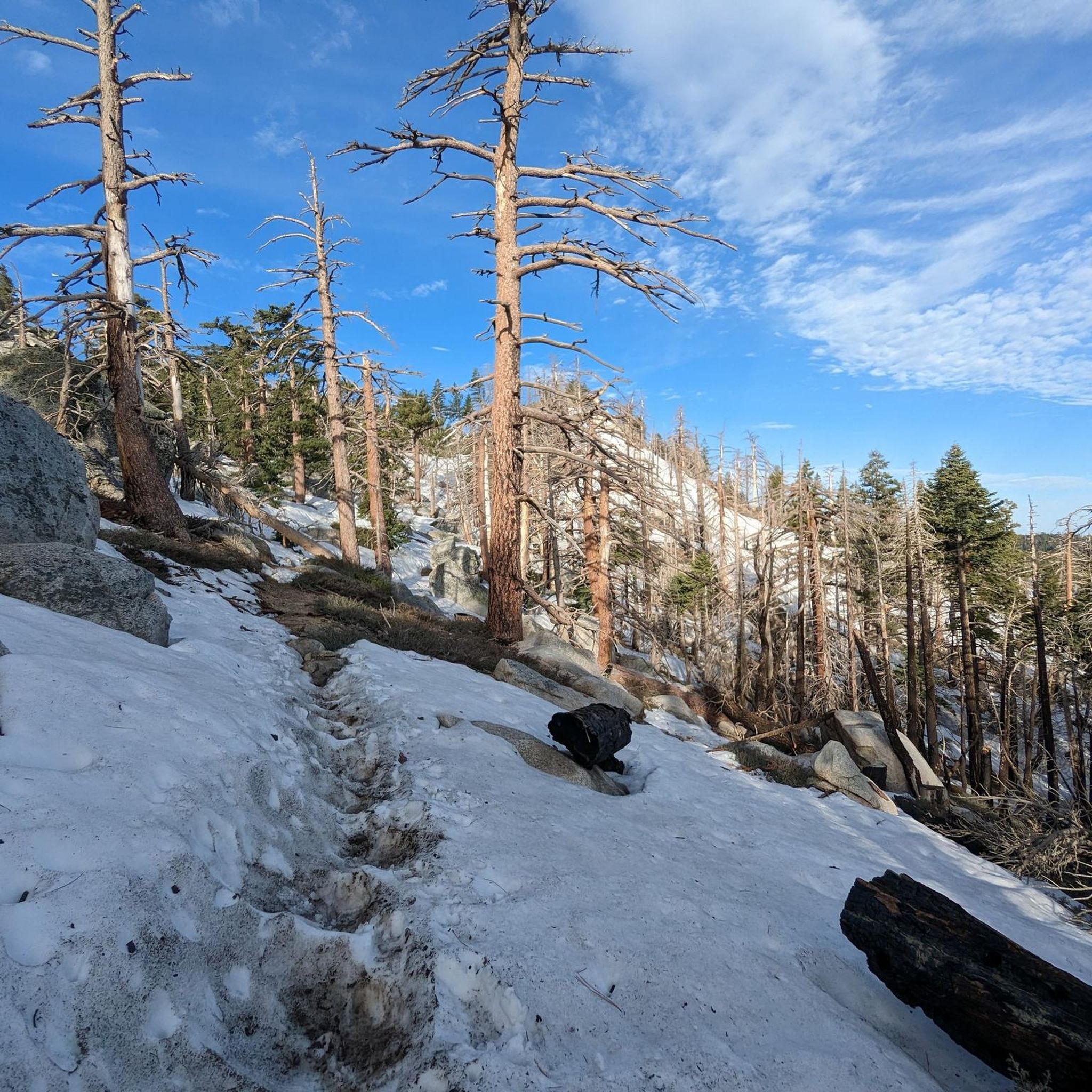
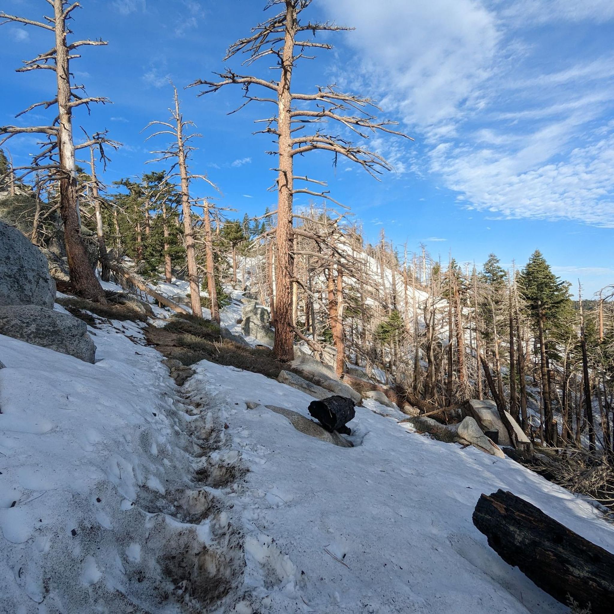
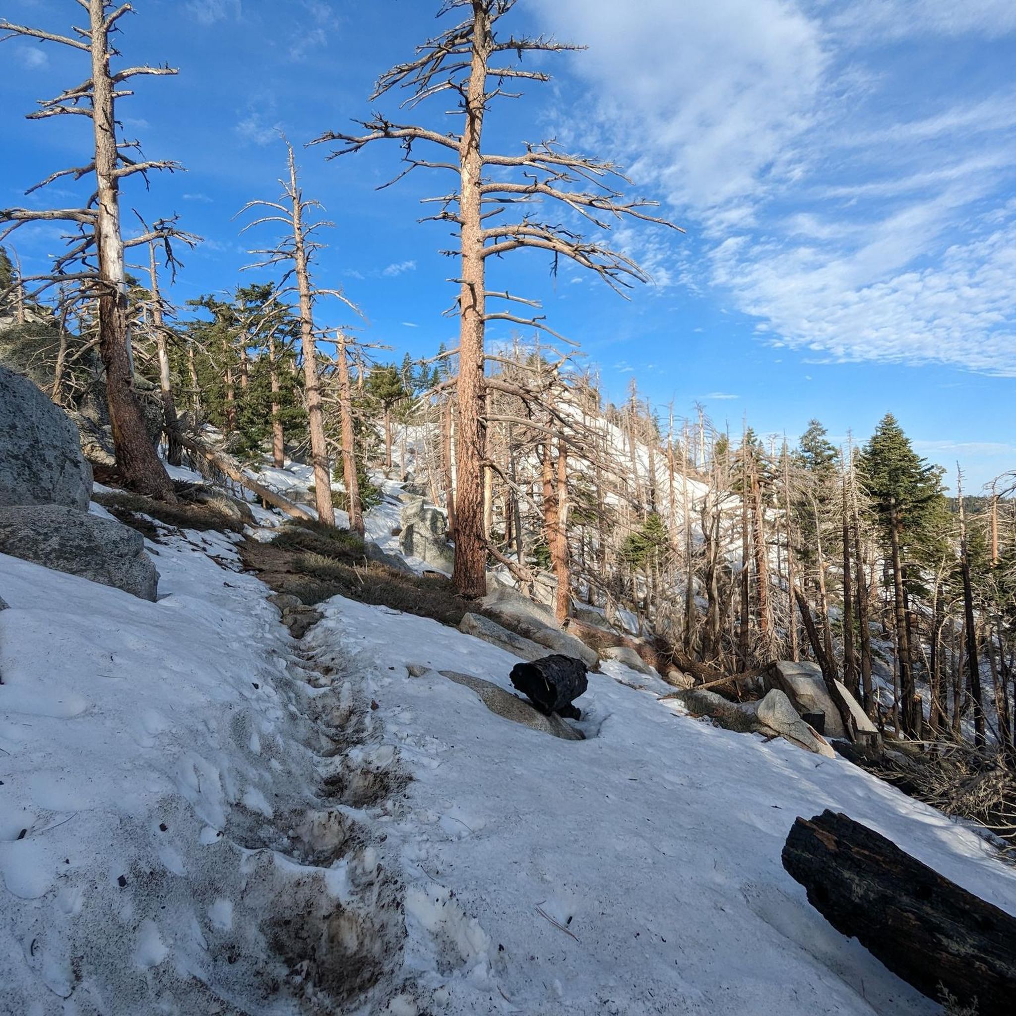
This is a popular alternative trail to climb up to the summit of Mount San Jacinto from the Pacific Crest Trail. Besides stunning views, expect some nice water sources and snow!
0
0
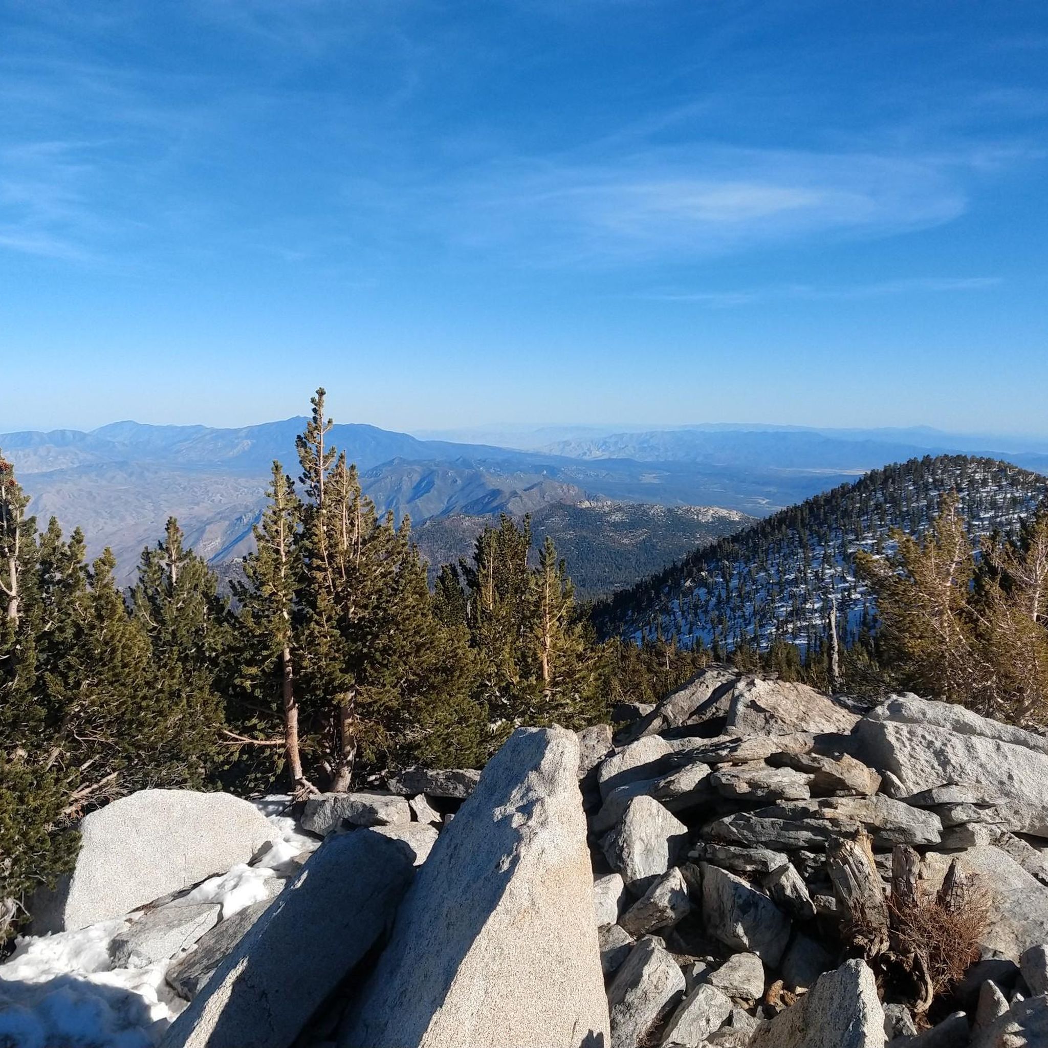
The San Jacinto Wilderness is one of a kind. At an elevation of 10,834 feet, San Jacinto Peak towers high above the California desert. You can hike plenty of trails including a section along the long distance Pacific Crest Trail. There is an emergency hut beneath the summit and close by even a restaurant and an aerial tramway station that gets you into Palm Springs. To camp out, you need a wilderness permit (available at Park Headquarters in Idyllwild and the Valley Ranger Station on the Palm Springs Aerial Tramway side) for the area for 5 Dollars per person. If you have a longdistance permit for hiking the PCT, you do not have to obtain an additional permit. Here is some more information on that: parks.ca.gov/?page_id=636
1
0
With 10,883 feet, Mount San Jacinto is the highest peak in the San Jacinto Mountains. There is a network of hiking trails around the summit and the San Jacinto State Park itself. If the weather turns for the worst, you can find shelter in a little hut close to the summit. You can either take a hike from Idyllwild on the west side of the mountain or Palm Springs on the east side. There is also an aerial tramway you can use to get into the San Jacinto Wilderness. If you feel adventurous, you can cross the mountain range using the Pacific Crest Trail.
0
0
After the climb, hikers are greeted with a large slab of granite with 360 views of the surrounding mountains. Swing by the San Jacinto Ranger Station office to grab a simple permit to hike.
0
0
Frequently Asked Questions
How many running routes are available in San Jacinto Wilderness?
The San Jacinto Wilderness offers a wide selection of running routes, with over 45 trails available for exploration. These routes cater to various fitness levels, from moderate paths to challenging ascents.
What kind of terrain and difficulty levels can I expect on the running trails?
You'll find a diverse range of terrain and difficulty levels. The wilderness features dramatic elevation changes, transitioning from arid desert to sub-alpine forests and alpine regions. Trails can range from mostly flat and even surfaces to uneven, steep, and rocky paths. There are 2 easy, 36 moderate, and 11 difficult routes, ensuring options for all abilities.
Are there any easy running routes suitable for beginners in San Jacinto Wilderness?
Yes, there are a few easier options for beginners or those looking for a less strenuous run. While many trails involve significant elevation, you can find routes with more gradual inclines. For example, there are 2 routes classified as easy within the region.
What are some challenging running routes for experienced trail runners?
For experienced trail runners seeking a challenge, the San Jacinto Wilderness offers several demanding routes. Consider the San Jacinto Peak via Round Valley Trail, a 10.0-mile route leading through sub-alpine forests and high-altitude terrain. Another difficult option is the Ernie Maxwell Scenic Trail, known for its challenging climbs and scenic views.
What interesting landmarks or natural features can I see along the running routes?
The San Jacinto Wilderness is rich with natural beauty. You can encounter magnificent granite peaks and impressive rock formations like Tahquitz Peak and Suicide Rock. Many trails also offer panoramic views of the Coachella Valley and the Sonoran Desert. The diverse ecosystems provide a constantly changing backdrop, from pine forests to mountain meadows.
Are permits required for running in the San Jacinto Wilderness?
Yes, free permits are required for both day hiking and overnight trips within the federal and state wilderness areas. These permits are easily obtainable from various locations, ensuring regulated and sustainable use of the trails. For more information on permits, you can visit the California State Parks website: https://www.parks.ca.gov/?page_id=24896.
Are there any loop trails for runners in the San Jacinto Wilderness?
Yes, there are loop options available for runners. For instance, the San Jacinto Wilderness – San Jacinto Peak loop from Idyllwild-Pine Cove offers a substantial 18.5-mile circular route with significant elevation gain, providing a comprehensive experience of the area's diverse landscapes.
What is the best time of year to go running in San Jacinto Wilderness?
The best time to run depends on your preference for conditions. The higher elevations offer an alpine-like environment, providing a refreshing contrast to the surrounding desert, especially during warmer months. However, significant elevation changes mean conditions can vary greatly. Spring and fall generally offer pleasant temperatures across more areas, while summer might be best for higher-altitude trails accessible via the Palm Springs Aerial Tramway.
What do other runners enjoy most about jogging in San Jacinto Wilderness?
The San Jacinto Wilderness is highly rated by the komoot community, with an average score of 5.0 stars from more than 10 reviews. Runners often praise the dramatic and diverse landscapes, the challenging ascents that offer great workouts, and the rewarding panoramic views from many of the trails.
Are there dog-friendly running trails in the San Jacinto Wilderness?
While dogs are generally allowed on many trails within the San Bernardino National Forest, specific regulations apply within the Mount San Jacinto State Park and Wilderness areas. It's always best to check the latest rules and designated dog-friendly trails before heading out. You can find more information on state park regulations here: https://www.parks.ca.gov/mountsanjacinto.
Where can I find parking for the running routes?
Access points are available from towns like Idyllwild, which often have public parking. Additionally, specific trailheads may have designated parking areas. For example, Humber Park is a known parking location that serves as a starting point for several routes.
What should I bring for jogging in San Jacinto Wilderness?
Given the significant elevation changes and diverse ecosystems, it's wise to be prepared. Essential items include plenty of water, appropriate trail running shoes, layers of clothing for changing temperatures, sun protection, and a map or GPS device. For longer or more challenging routes, consider carrying snacks and a first-aid kit. Remember that permits are required, so have yours ready.
Most popular routes in San Jacinto Wilderness
Most popular attractions in San Jacinto Wilderness

Get inspired with the komoot mobile app


Explore more
Browse the best Running Trails & Routes in other regions.
