The best walks and hikes in Theodore Roosevelt Wilderness
4.8
(12)
220
hikers
30
hikes
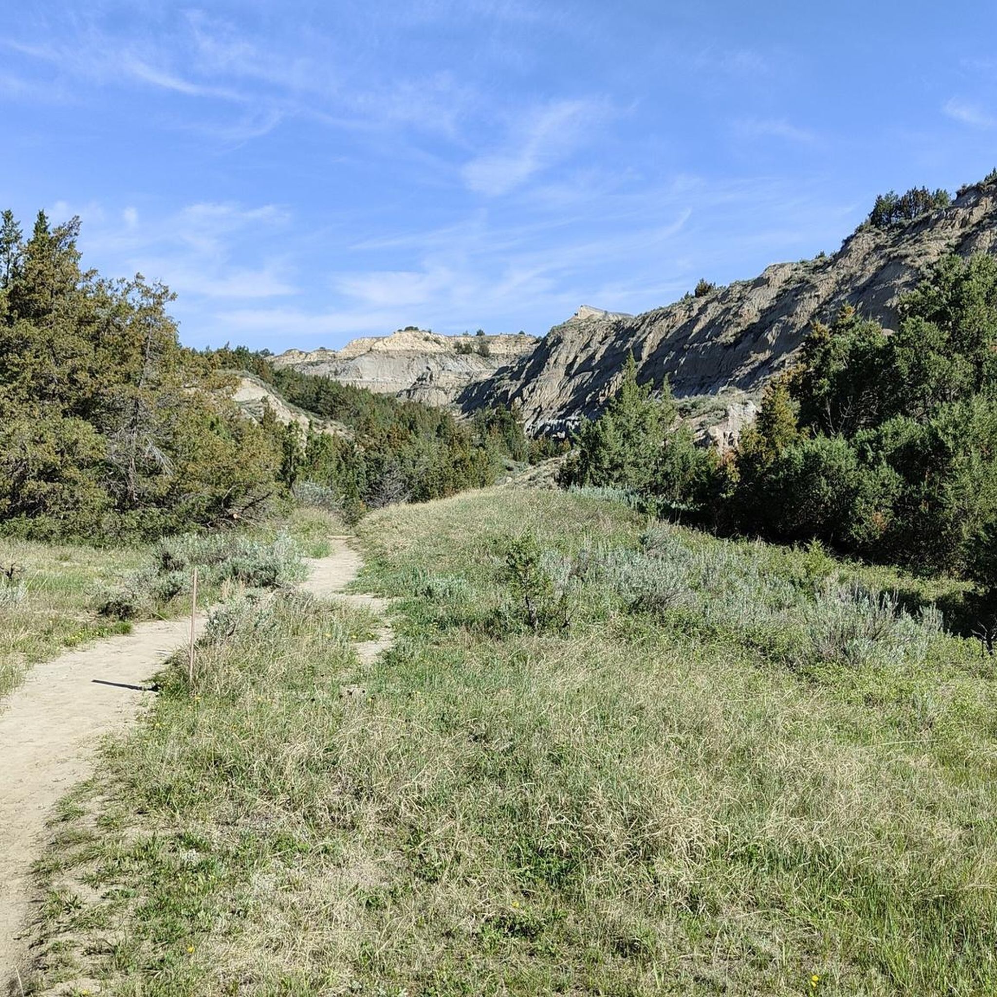
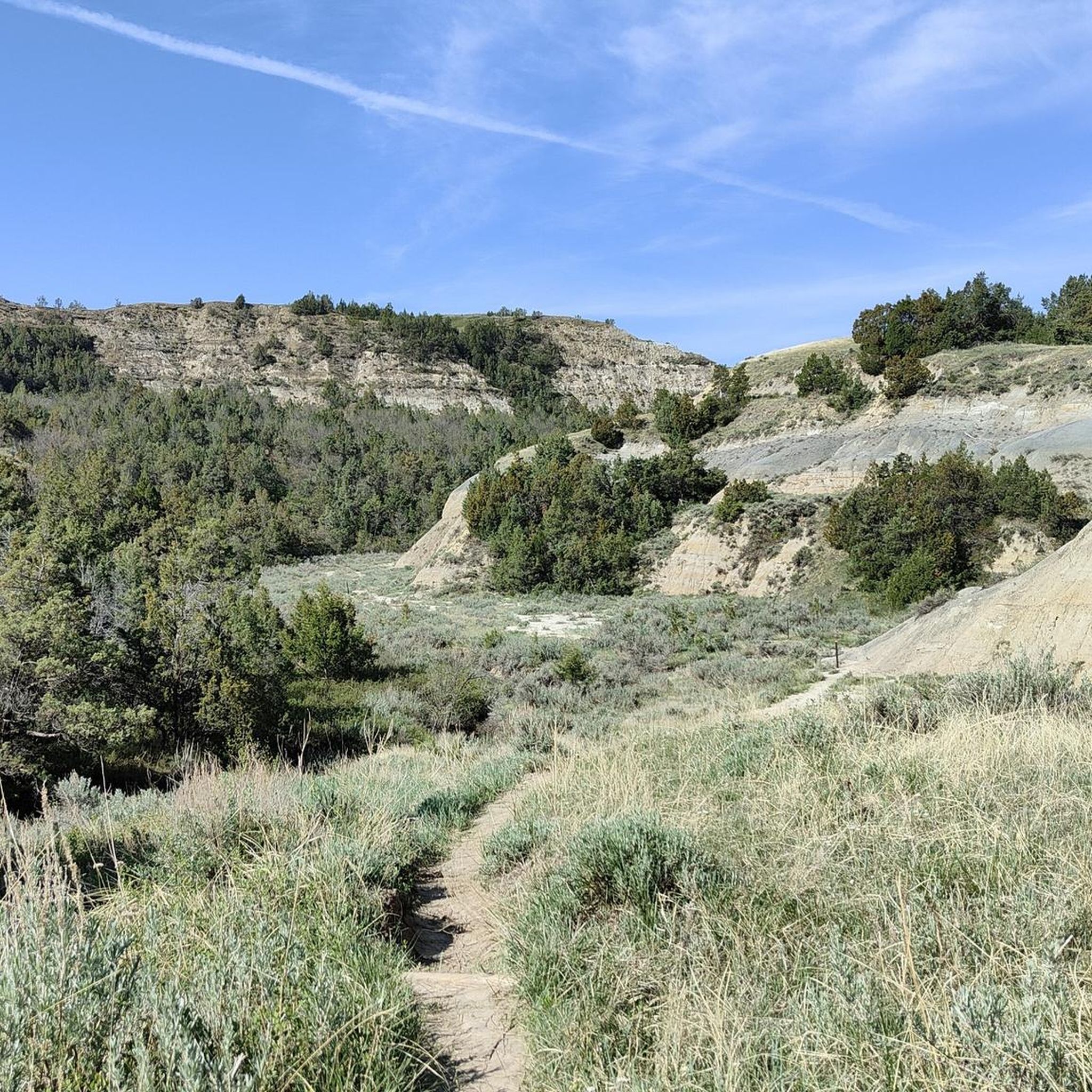
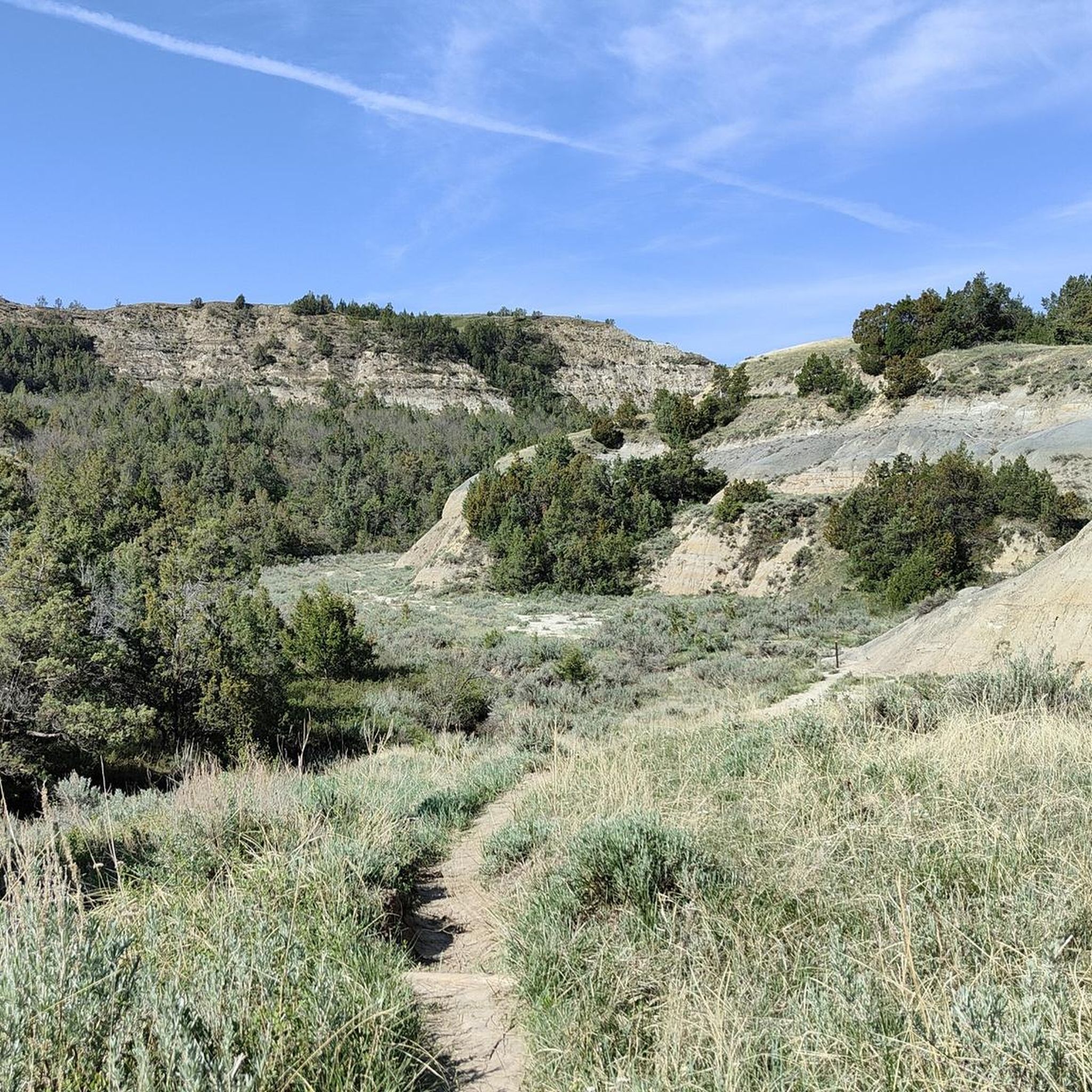
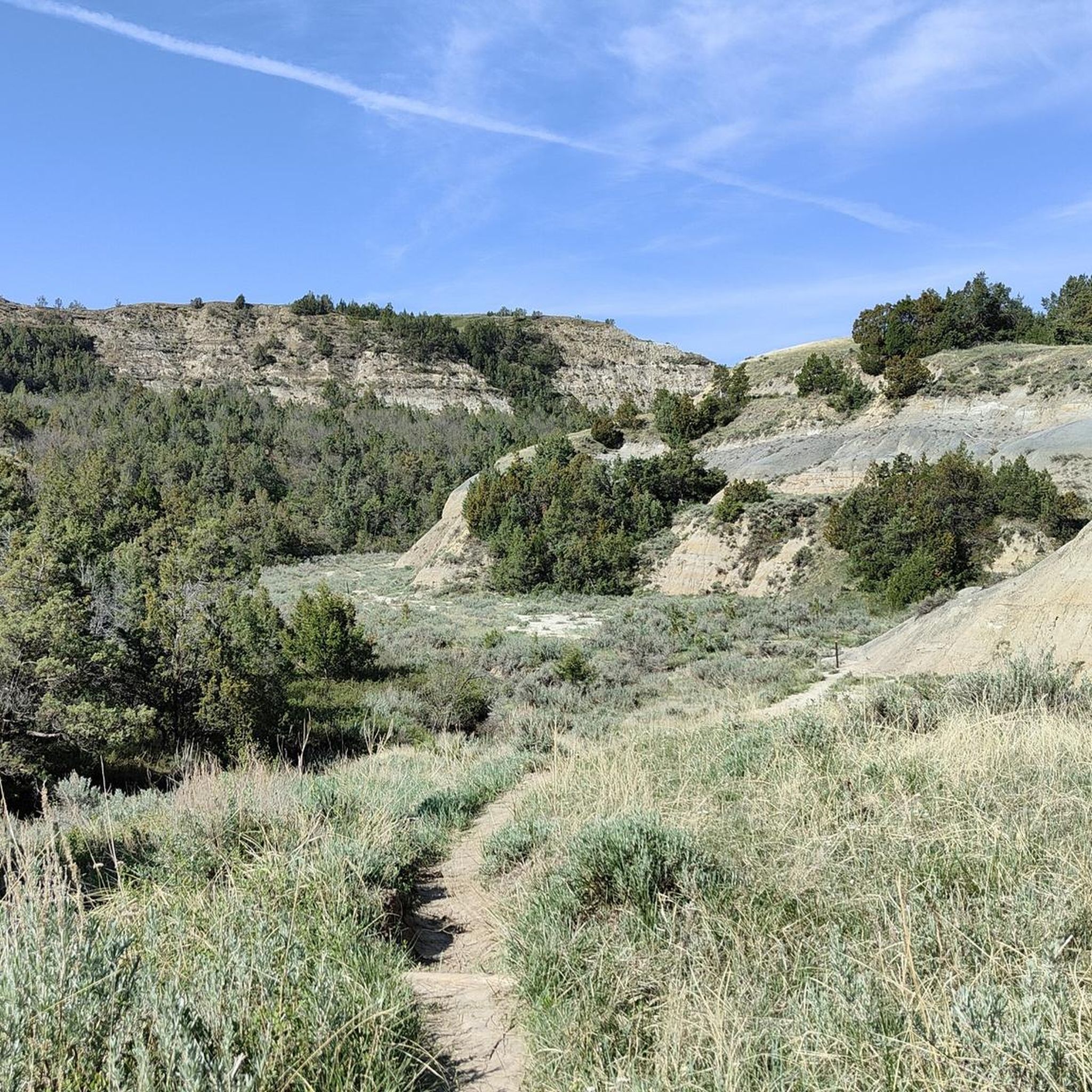
Hiking in Theodore Roosevelt Wilderness explores the rugged badlands of North Dakota. The region is characterized by eroded hills, colorful canyons, and grasslands flanking the Little Missouri River. The trail network includes short nature walks and longer routes through more remote sections of the park, offering opportunities to see wildlife like bison and prairie dogs.
Best hiking trails in Theodore Roosevelt Wilderness
- The most popular hiking route is Caprock Coulee Trail Loop — Theodore Roosevelt National Park, a 4.2…
Last updated: August 18, 2026
4.12km
01:07
70m
60m
Embark on an easy hike along the Petrified Forest to Overlook trail, a 2.6-mile (4.1 km) route that offers a gentle exploration of Theodore Roosevelt National Park. You'll experience diverse…
1.92km
00:29
0m
0m
Embark on the Ekblom Trail for an easy hike that introduces you to the diverse scenery of Theodore Roosevelt National Park. This gentle route spans 1.2 miles (1.9 km) with…

Sign up for free
1.55km
00:24
10m
10m
Embark on an easy hike along the Prairie Dog Town via Buckhorn Trail, a 1.0-mile (1.5 km) route that takes approximately 23 minutes to complete. You will experience a gentle…
5.0
(7)
57
hikers
6.83km
01:54
130m
120m
Embark on an easy 4.2 miles (6.8 km) hike along the Caprock Coulee Trail, a route that takes about 1 hour and 53 minutes to complete with a gain of…
24
hikers
4.06km
01:10
100m
100m
The Achenbach Trail offers a fantastic opportunity to immerse yourself in the rugged beauty of Theodore Roosevelt National Park's badlands. This easy 2.5-mile (4.1 km) hiking route, with its 332…
Get access to more routes and recommendations from other explorers.
Sign up for free
Already have an account?
Our route recommendations are based on thousands of hikes, rides, and runs completed by other people on komoot.
Start today with a free account
Your next adventure awaits.
Login or Signup

Other adventures in Theodore Roosevelt Wilderness

Tips from the Community

This nature trail (part of the overall Caprock Coulee loop) doesn't have much elevation gain, so it makes a great warm-up or a short run in and of itself. It's very popular with hikers, though, so your best chance of an uninterrupted run is getting out here early or late, or maybe during the week. Keep an eye out for wildlife, including bison, which are fast and dangerous — you don't want to end up running sprints with one of those behind you.
0
0
There's a prairie dog town right about here, but the "town" is actually a series of underground tunnels — so you're best off watching for the prairie dogs themselves, which look much like fat little squirrels with short, stubby tails. Often, the easiest way to spot them is by watching for movement when they dash for the cover of one of their many burrow entrances, or listen for their chirping alarm calls. You might see lots of other wildlife here too, drawn by the prairie dogs.
1
0

At the end of Scenic Drive, there is a view point of the beautiful landscape below. You get a view of the national park with its grasslands and the badlands.
0
0

The Upper Caprock Coulee trail continues where the Caprock Coulee Nature Trail stops. After a short but steep climb from the nature trail, you'll find yourself in the quietest section of the Caprock Coulee Loop and views start to open up over the badlands.
1
0
This section of the North Achenbach Trail is elevated from the rest of the trail right next to Scenic Loop Road. Because of the higher elevation of the trail at this section, you'll be rewarded with beautiful river and valley views.
1
0
Caprock Coulee Nature Trail is a 0.8-mile section of the Caprock Coulee Trail Loop, making it a 1.6-mile out-and-back hike if you don't feel like hiking the entire loop. The Nature Trail section also has the least amount of elevation change of the entire loop making it more accessible. Like most 'Nature Trails' the NPS has provided signs to give you more information about the area along the trail.
1
0
If you are hiking the Caprock Coulee Trail Loop, this part just off the Scenic Loop Road overlooks both the Little Missouri River and the Riverbend Overlook. It just might be an even cooler view than being at the actual Riverbend Overlook, but I'll let you be the judge of that.
0
0
This popular spot has a great view over the Little Missouri River bending in and out of its Badlands surroundings. You can combine this highlight with a longer hike of Caprock Coulee Trail Loop or North Achenbach Trail; or just jump out of your car and hike down to the overlook.
1
0
Frequently Asked Questions
Are dogs allowed on the trails in Theodore Roosevelt National Park?
Pets, including dogs, are permitted in Theodore Roosevelt National Park but must be on a leash no longer than six feet. However, they are only allowed in developed areas like campgrounds, picnic areas, and along roads. Pets are not permitted on any of the hiking trails or in the backcountry. This is for the safety of your pet, other visitors, and the park's abundant wildlife.
What are some good, easy hikes for families?
The park offers several shorter, less strenuous trails perfect for families. The hike to the prairie dog town via the Buckhorn Trail is a gentle walk that provides fantastic opportunities to watch these playful animals. Another great option is the short Wind Canyon Trail, a popular and easy loop leading to a beautiful overlook of the Little Missouri River, which is especially stunning at sunset.
Which trails offer the best chances to see wildlife like bison and wild horses?
While wildlife sightings are never guaranteed, bison are frequently seen grazing throughout the park, often near the roads and in the open prairies of both the North and South Units. Wild horses are also a major draw. For a good chance to see a variety of animals, consider the Ekblom and Big Plateau Trail Loop, which traverses varied habitats. Always remember to keep a safe and respectful distance from all wildlife.
What should I know about hiking in the Petrified Forest area?
The Petrified Forest is located in a remote section of the park's South Unit and offers a unique landscape. The Petrified Forest Loop Trail is a substantial hike that takes you through this fascinating area. Be prepared for a longer day out, as the trail is over 10 miles (16 km) and the area is exposed with little shade. Carry plenty of water, sun protection, and be mindful of the fragile fossil resources.
How many hiking trails are there in the Theodore Roosevelt Wilderness?
You can explore over 20 marked hiking routes in the Theodore Roosevelt Wilderness. These range from short, easy nature walks of less than a mile to challenging multi-day backpacking treks, offering options for every fitness level and interest.
What do other hikers say about the trails in this region?
The trails in Theodore Roosevelt Wilderness are highly regarded by the komoot community, with an average rating of 4.8 stars. Hikers frequently praise the stunning badlands scenery, the excellent opportunities for wildlife viewing, and the feeling of solitude on the less-traveled paths.
Are there any trails that go down into the canyons?
Yes, several trails descend from the rim into the canyons, offering a different perspective of the badlands geology. The Painted Canyon Nature Trail is a well-known option that drops down into the colorful canyon from the South Unit's Painted Canyon Overlook. Be prepared for a steep descent and ascent on these types of trails.
What is the best time of year to hike in Theodore Roosevelt Wilderness?
Late spring, summer, and early fall are the most popular times to hike. During these seasons, the weather is generally pleasant and the trails are accessible. Summer can be very hot, so it's best to start hikes early in the day. Spring offers blooming wildflowers, while fall brings cooler temperatures and fewer crowds. Winter hiking is possible but requires preparation for snow, ice, and cold conditions.
What should I bring for a day hike in the badlands?
The terrain is rugged and exposed, so preparation is key. Always carry more water than you think you'll need, as there are no water sources on the trails. Sun protection, including a hat, sunglasses, and sunscreen, is essential. Sturdy hiking shoes are recommended due to the uneven ground. It's also wise to bring a map, snacks, and layers of clothing, as weather can change quickly.
Are there options for backpacking and overnight camping on the trails?
Yes, backpacking is a fantastic way to experience the wilderness. The Maah Daah Hey Trail and the Achenbach Trail are popular multi-day routes. Backcountry camping is permitted, but you must obtain a free permit in person from the South Unit or North Unit visitor centers. Campers must follow Leave No Trace principles and camp out of sight of roads and trails.
How does the hiking in the North Unit differ from the South Unit?
The South Unit is more visited and known for its expansive views and access to the Painted Canyon. The North Unit is generally considered more rugged and remote, with deeper canyons and higher elevations. A great hike in the North Unit is the trail to Oxbow Overlook and Sperati Point, which showcases the dramatic landscape of this quieter section of the park.
How can I get more information on trail conditions and safety?
For the most current information on trail conditions, closures, and safety alerts, it is always best to check with the park service directly. You can find official updates and hiking information on the National Park Service website for Theodore Roosevelt National Park at nps.gov.
Most popular routes in Theodore Roosevelt Wilderness
Most popular attractions in Theodore Roosevelt Wilderness

Get inspired with the komoot mobile app


