The best walks and hikes around South Burlington
4.8
(31)
921
hikers
16
hikes
Hiking trails around South Burlington, Vermont, offer diverse outdoor experiences, primarily characterized by routes along Lake Champlain and through local parks and natural areas. The terrain generally features gentle elevation changes, making many trails accessible for various fitness levels. Natural features South Burlington trails often include wooded paths, waterfront views, and open green spaces. The region provides opportunities for both leisurely strolls and longer, more moderate excursions.
Best hiking trails around South Burlington
- The most popular hiking route is Red…
Last updated: October 11, 2026
4
hikers
2.64km
00:42
20m
20m
Explore the Szymanski Trails, an easy hiking route spanning 1.6 miles (2.6 km) within Szymanski Park. You will experience a pleasant, accessible path, likely featuring local flora and glimpses of…
2
hikers
4.17km
01:05
0m
60m
The Spear Street and I-189 Recreation Path offers a delightful blend of natural and suburban scenery, making it a unique urban escape. You'll traverse paved asphalt, winding through dense forested…

1
hikers
1.17km
00:19
10m
20m
This easy 0.7-mile loop in South Burlington offers a tranquil hike through a mature forest with a meandering brook.
2.95km
00:48
40m
40m
The easy 1.8-mile Wheeler Loop and South Burlington Community Gardens trail offers Green Mountain views and community amenities.
998m
00:16
0m
10m
This easy 0.6-mile loop in Red Rocks Park, Vermont, offers scenic views of Lake Champlain and the Adirondacks, perfect for a quick family ou
Get access to more routes and recommendations from other explorers.
Already have an account?
Our route recommendations are based on thousands of hikes, rides, and runs completed by other people on komoot.
Start today with a free account
Your next adventure awaits.

Frequently Asked Questions
What is the general difficulty level of hiking trails in South Burlington?
The hiking trails around South Burlington are predominantly easy to moderate. Out of over 80 routes, the majority (around 64) are classified as easy, with about 17 moderate options and only a couple considered difficult. This makes the area suitable for a wide range of hikers, from beginners to those looking for a slightly longer excursion.
Are there any trails with good views of Lake Champlain?
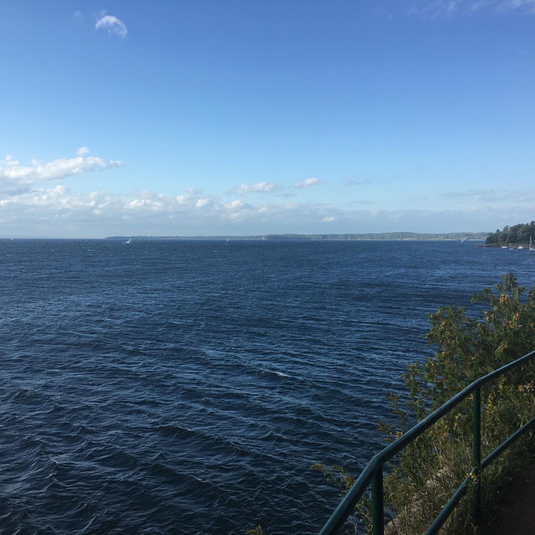
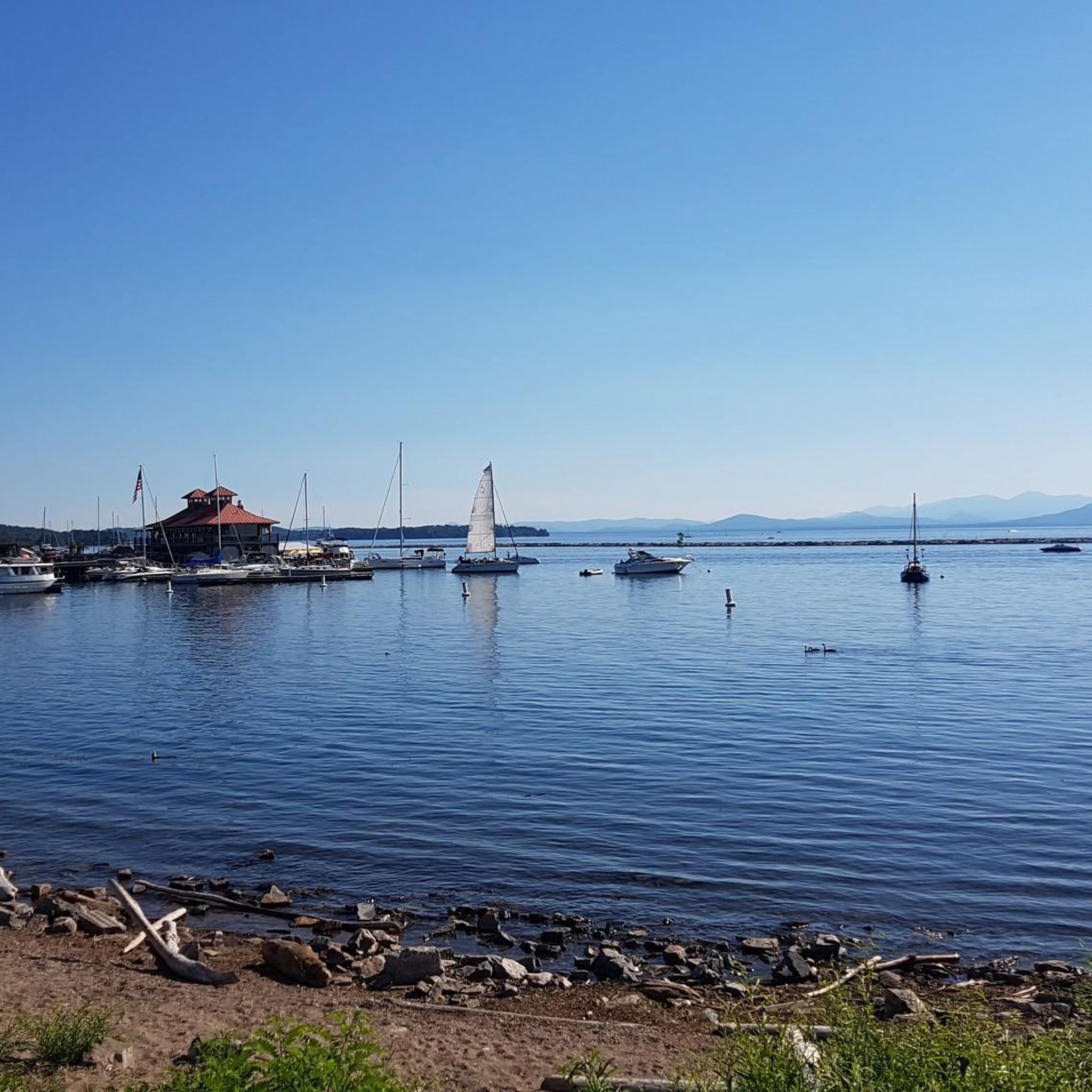
Yes, many trails in the South Burlington area offer beautiful views of Lake Champlain. For example, the Red Rocks Park loop to Lake Champlain — Burlington, Vermont is a popular easy route specifically known for its waterfront vistas. You can also find excellent lake views from Waterfront Park, which is accessible via routes like the Burlington loop to Waterfront Park via Burlington Greenway.
What kind of natural features can I expect to see on hikes in South Burlington?
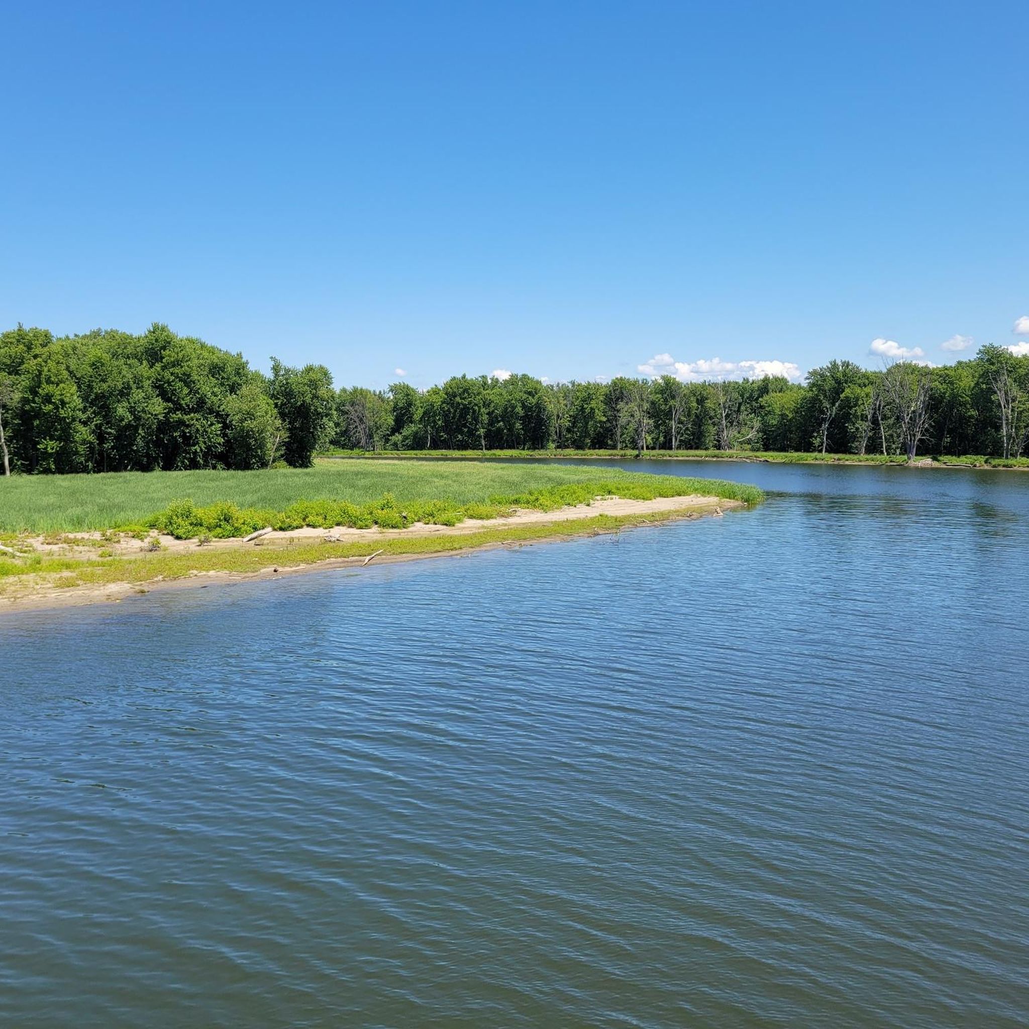
Hiking in South Burlington offers a mix of natural settings. You'll find wooded paths, open green spaces, and significant stretches along the waterfront of Lake Champlain. Trails often pass through local parks and natural areas, providing a tranquil environment. For instance, the Centennial Woods Natural Area loop — Burlington winds through a peaceful wooded area.
Are there any longer, more challenging hikes available?
While most trails are easy, there are moderate options for those seeking a longer hike. The South Burlington to Downtown loop is a moderate 6.9-mile (11.1 km) trail that combines urban and natural landscapes, typically taking around 2 hours 55 minutes. Another moderate option is the Delta Park to Half Moon Cove — Burlington, which covers about 7.2 miles (11.6 km).
What do other hikers say about the trails in South Burlington?
The hiking routes in South Burlington are highly regarded by the komoot community, holding an impressive average score of 4.9 stars from over 29 reviews. Hikers frequently praise the well-maintained paths, the scenic waterfront views, and the accessibility of the trails for various skill levels.
Are there any circular hiking routes in South Burlington?
Yes, several popular routes in South Burlington are circular, offering convenient starting and ending points. Examples include the Red Rocks Park loop to Lake Champlain — Burlington, Vermont and the Centennial Woods Natural Area loop — Burlington, both of which are easy loops perfect for a leisurely walk.
What is the best time of year to go hiking in South Burlington?
While hiking is enjoyable year-round, each season offers a unique experience. Spring brings blooming flora, summer provides warm weather for lakeside strolls, and autumn showcases Vermont's renowned fall foliage. Winter hiking is also possible, often with opportunities for snowshoeing or cross-country skiing on suitable trails, though conditions can vary.
Are there any specific landmarks or points of interest to look out for?
Beyond the natural beauty, you can find several points of interest. The Burlington Greenway – North Beach Section offers a scenic path, and Waterfront Park is a popular spot for views. You might also encounter the Colchester/Burlington bridge or the Colchester Causeway, which extends into Lake Champlain.
How many hiking trails are there in the South Burlington area?
There are over 80 hiking routes available in and around South Burlington, offering a wide variety of distances and difficulty levels to explore.
Is there public transport access to hiking trails in South Burlington?
While specific public transport details for each trailhead are not provided, South Burlington and the greater Burlington area have local bus services. It's advisable to check the Chittenden County Transportation Authority (CCTA) website for routes and schedules that may connect to areas near popular parks and trailheads.
Where can I find parking for hiking trails in South Burlington?
Parking availability varies by trailhead and park. Many local parks, such as Red Rocks Park and Centennial Woods Natural Area, typically offer designated parking areas. For specific routes, it's best to check the individual komoot tour page or the respective park's official website for detailed parking information before your visit.
Are there any beaches accessible from hiking trails?
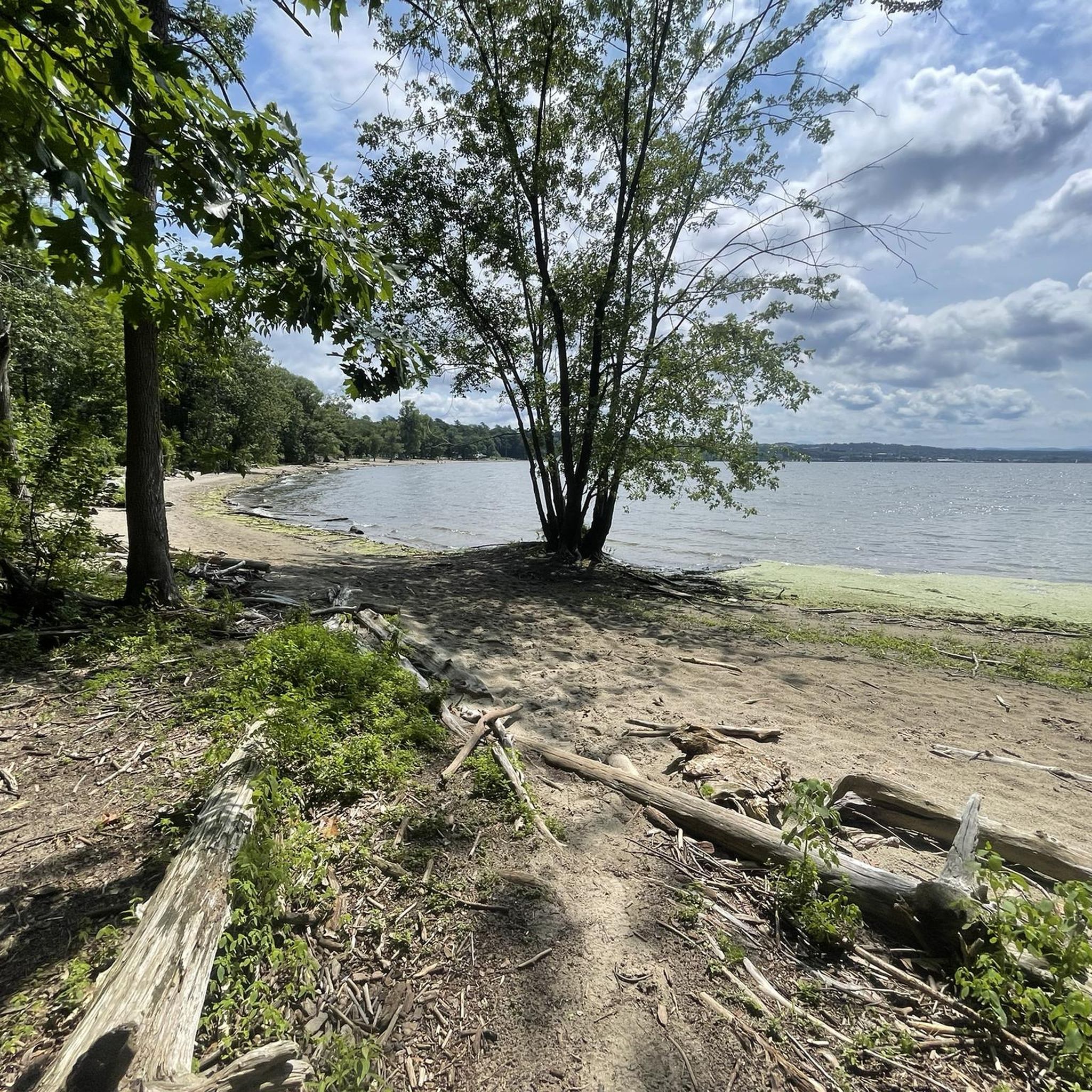
Yes, some trails offer access to lakeside areas, including beaches. For example, Blanchard Beach is a highlight near some of the routes, providing an opportunity to enjoy the shores of Lake Champlain.
Most popular routes around South Burlington
Most popular attractions around South Burlington

Get inspired with the komoot mobile app


Explore more
Browse the best Hikes in other regions.
