The best road cycling routes around Provo
4.6
(13)
871
riders
23
rides
Road cycling around Provo offers diverse terrain, situated against the Wasatch Front and bordering Utah Lake. The region features significant elevation changes, from the flat, paved paths along the Provo River to climbs into the surrounding canyons and mountains. Provo Canyon provides a natural corridor with the Provo River, while the Wasatch Range offers dramatic mountain backdrops. The landscape includes riverine environments, open lake views, and forested areas, providing varied road cycling experiences.
Best road cycling routes around Provo
- The…
Last updated: October 1, 2026
4.0
(1)
85
riders
41.4km
01:51
340m
340m
Moderate road ride. Good fitness required. Mostly well-paved surfaces and easy to ride.
42
riders
43.7km
01:44
150m
150m
Easy road ride. Great for any fitness level. Mostly well-paved surfaces and easy to ride.

36
riders
29.6km
01:12
160m
160m
Easy road ride. Great for any fitness level. Mostly well-paved surfaces and easy to ride.
67
riders
37.5km
01:43
340m
340m
Moderate road ride. Good fitness required. Mostly well-paved surfaces and easy to ride.
25
riders
39.6km
02:08
760m
760m
Moderate road ride. Good fitness required. Mostly well-paved surfaces and easy to ride.
Get access to more routes and recommendations from other explorers.
Already have an account?
Our route recommendations are based on thousands of hikes, rides, and runs completed by other people on komoot.
Start today with a free account
Your next adventure awaits.
Tips from the Community

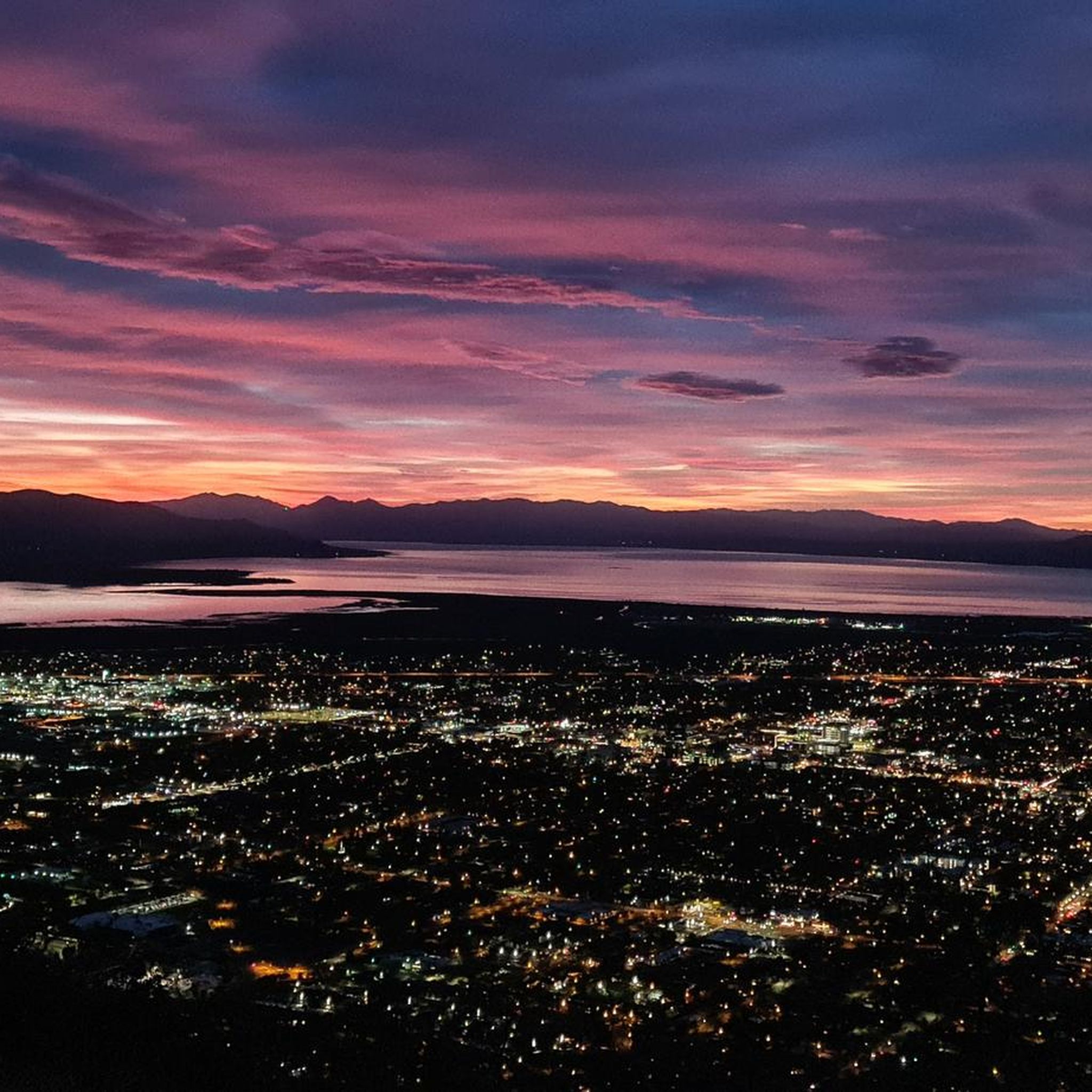
KhPeak Overlook gives you a wide view over the valley below and the surrounding ridges. It’s a simple, open spot to pause, take a breath, and get a sense of the terrain ahead before continuing your ride or hike.
1
0
Provo River Parkway is a smooth, paved trail that follows the Provo River through canyons and parks. It’s mostly flat with gentle climbs, offering plenty of shade and scenic river views. This segment passes by Glen Park—an easy spot to refill water bottles or have a snack at the picnic tables.
1
0

This multi-use paved trail begins at Utah Lake State Park and follows the Provo River for 15 miles, showcasing different areas of the city and its parks.
0
0

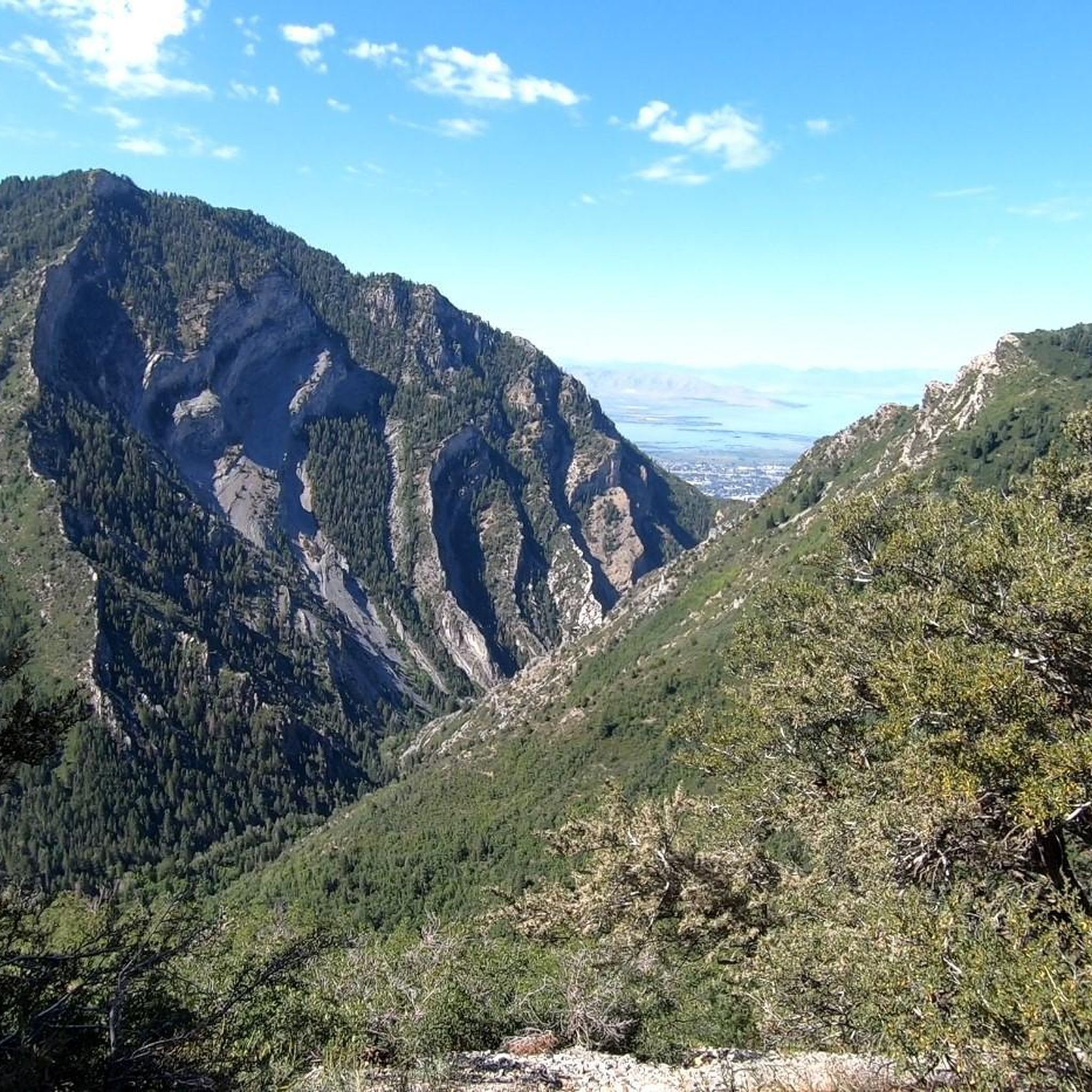
If you want to see the main waterfall in the park, you'll have to leave your bike behind for a bit. Just biking along the river on the Provo River Parkway is worth your while, though, and you get great views of cascades and small falls pouring into the river.
0
0

This 17-mile trail traverses seven cities and follows the path of the original trail constructed in the early 1900s. The trail was initially built to transport water from the Provo River for irrigation in Northern Utah County.
0
0
The Provo River, known as the Timponoquint (meaning "Rock River") by the Ute people, is a 71-mile river that runs through Utah County and Wasatch County in the Uinta Mountains.
0
0
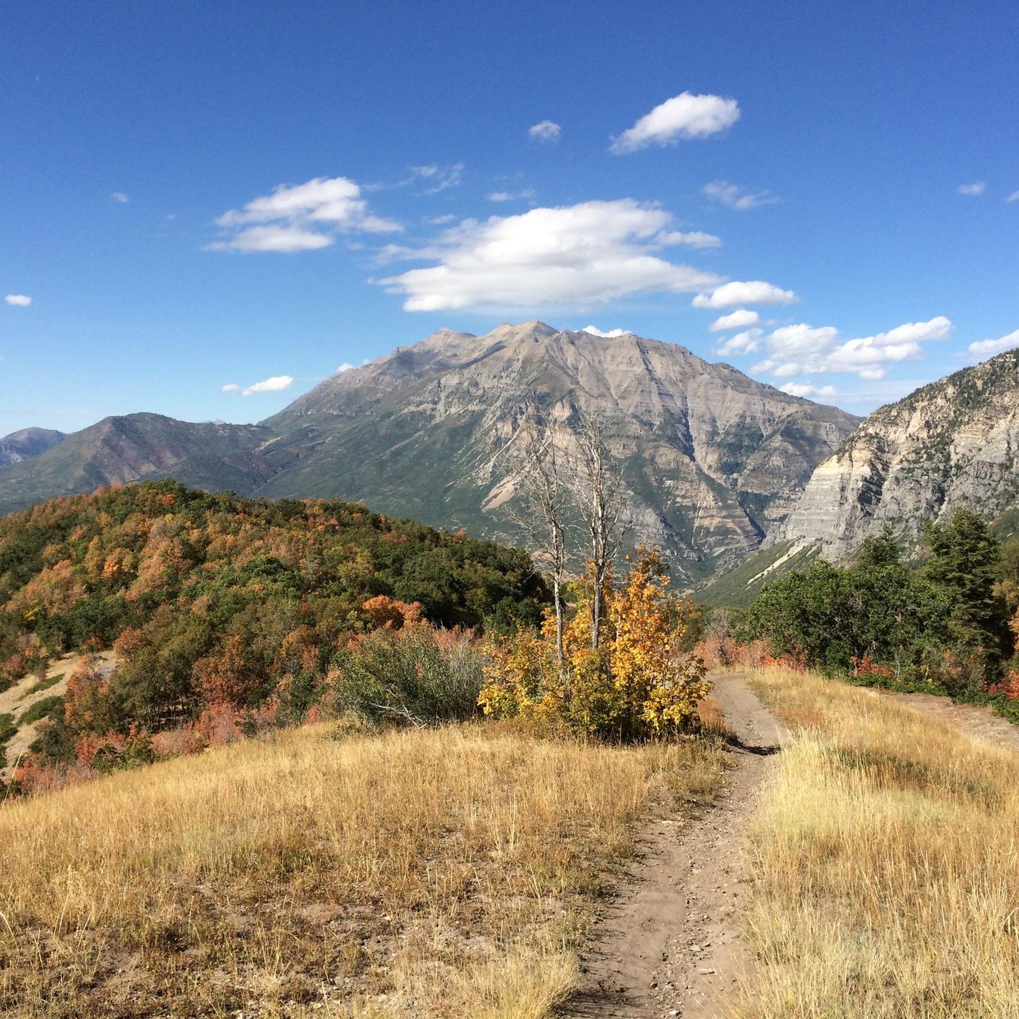
Squaw Peak Overlook provides views of the Utah Valley below to the west and views of various peaks to the east.
0
0
The Bertrand F. Harrison Arboretum and Botany Pond are maintained by BYU and offer a place to enjoy wildlife on the campus. There is also a small collection of demonstration gardens.
0
0
Frequently Asked Questions
How many road cycling routes are available in Provo?
Provo offers a wide selection of road cycling routes, with over 100 options to explore. On komoot, you can find 12 curated routes, catering to various skill levels and preferences.
What are the difficulty levels of road cycling routes in Provo?
The road cycling routes in Provo range from easy to difficult. You'll find 5 easy routes, 5 moderate routes, and 2 challenging routes, ensuring options for every fitness level. Easy routes like the Murdock Canal Trail loop are paved and suitable for all, while routes like the Provo River Parkway loop from Provo offer a more demanding experience with significant elevation changes.
What natural attractions can I see along road cycling routes in Provo?
Many road cycling routes in Provo offer stunning natural attractions. You can cycle past the majestic Bridal Veil Falls in Provo Canyon, enjoy expansive views of Mount Timpanogos from Utah Lake State Park, or explore the scenic Utah Lake Shoreline Trail. The Alpine Loop also provides breathtaking vistas through the Uinta-Wasatch-Cache National Forest.
What do other road cyclists enjoy most about road cycling in Provo?
The road cycling routes in Provo are highly rated by the komoot community, with an average score of 4.0 stars from over 10 reviews. Cyclists often praise the diverse terrain, from flat river parkways to challenging mountain climbs, and the stunning scenic views of the Wasatch Front, Provo Canyon, and Utah Lake.
Are there family-friendly road cycling routes in Provo?
Yes, Provo offers several family-friendly road cycling options. The Provo River Parkway is a popular choice, providing a smooth, paved trail with mostly flat terrain and ample shade, suitable for all ages. The Murdock Canal Trail loop is another easy, paved route perfect for families.
What are some easy road cycling routes for beginners in Provo?
For beginners, the Provo River Parkway is an excellent starting point, offering mostly flat terrain along the river. The Murdock Canal Trail loop from Timpview High School is another easy, paved route that provides a smooth ride suitable for various fitness levels.
Are there challenging road cycling routes for experienced riders in Provo?
Experienced riders seeking a challenge will find several options. The Alpine Loop, connecting American Fork Canyon with Provo Canyon, features winding pavement and climbs to 8,000 feet. The 90-mile circumnavigation of Utah Lake offers generally mellow rollers but is a significant distance challenge. Additionally, routes like the Provo River Parkway loop from Provo and the Slate Canyon Loop provide a bigger effort with substantial elevation gains.
Where can I find parking for road cycling routes in Provo?
Many road cycling routes in Provo offer convenient parking. For routes along the Provo River Parkway, you can often find parking at various parks such as Nunn's Park, Vivian Park, or Mount Timpanogos Park within Provo Canyon. Utah Lake State Park also provides parking for those looking to cycle around the lake.
Can I access Provo's road cycling routes using public transport?
Yes, some road cycling routes in Provo are accessible via public transport. For instance, the Provo River Parkway – Provo River loop from Provo Central starts near the Provo Central station, making it convenient for those using public transit.
Are there any loop road cycling routes in Provo?
Provo offers several excellent loop road cycling routes. The Provo River Parkway – Provo River loop from Provo Central and the Murdock Canal Trail loop from Timpview High School are popular options. For a more ambitious ride, the 90-mile circumnavigation of Utah Lake provides a grand loop experience.
What is the best time of year for road cycling in Provo?
The best time for road cycling in Provo is generally from late spring to early autumn. The Alpine Loop, a highly scenic route, is typically open seasonally from late May to late October. During these months, the weather is usually favorable, and the natural landscapes, especially Hobble Creek Canyon with its autumn foliage, are particularly stunning.
Are there any specific road cycling events or races in Provo?
Provo has a strong cycling culture and has even hosted the Tour of Utah professional cycling race. While specific event schedules vary annually, the city's commitment to cycling and its extensive network of routes make it a hub for various local and regional cycling events. You can check local cycling club websites or the Provo City website for current event listings.
Most popular attractions around Provo

Get inspired with the komoot mobile app


Explore more
Browse the best Road cycling routes in other regions.
