The best cycling routes around Terrebonne
50
riders
6
rides
Touring cycling around Terrebonne offers a diverse network of routes, characterized by scenic riverfront paths and extensive wooded areas. The region features varied terrain, including both paved and unpaved surfaces, suitable for different types of bikes. Cyclists can explore natural parks and connect to broader regional cycling networks.
Best touring cycling routes around Terrebonne
- The most popular touring cycling route is Dry Canyon Trail, a 7.5 miles (12.0 km) trail that takes about 54 minutes to complete. This easy…
Last updated: May 10, 2026
16
riders
12.0km
00:54
70m
70m
Easy bike ride. Great for any fitness level. Mostly paved surfaces. Suitable for all skill levels.
2
riders
68.9km
04:03
440m
440m
Moderate bike ride. Good fitness required. Mostly paved surfaces. Suitable for all skill levels.

Sign up for free
14
riders
Easy bike ride. Great for any fitness level. Mostly paved surfaces. Suitable for all skill levels.
7
riders
14.6km
00:59
60m
60m
Easy bike ride. Great for any fitness level. Mostly paved surfaces. Suitable for all skill levels.
3
riders
Moderate bike ride. Good fitness required. Mostly paved surfaces. Suitable for all skill levels.
Our route recommendations are based on thousands of hikes, rides, and runs completed by other people on komoot.
Start today with a free account
Your next adventure awaits.
Login or Signup
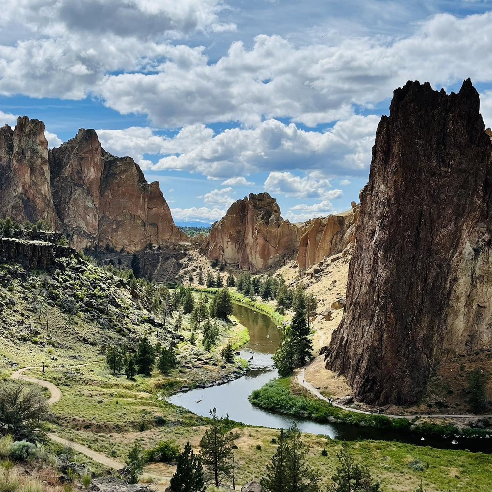
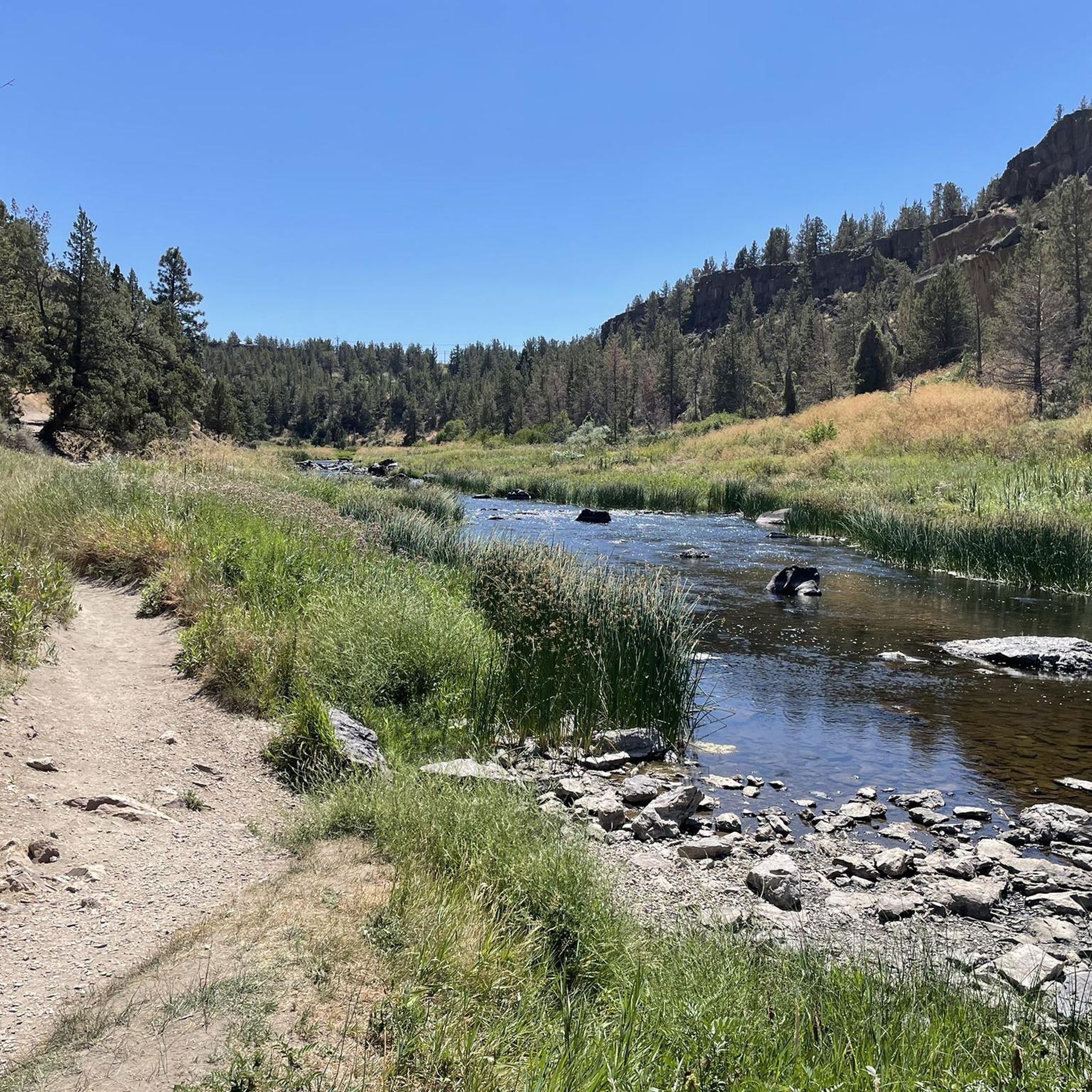
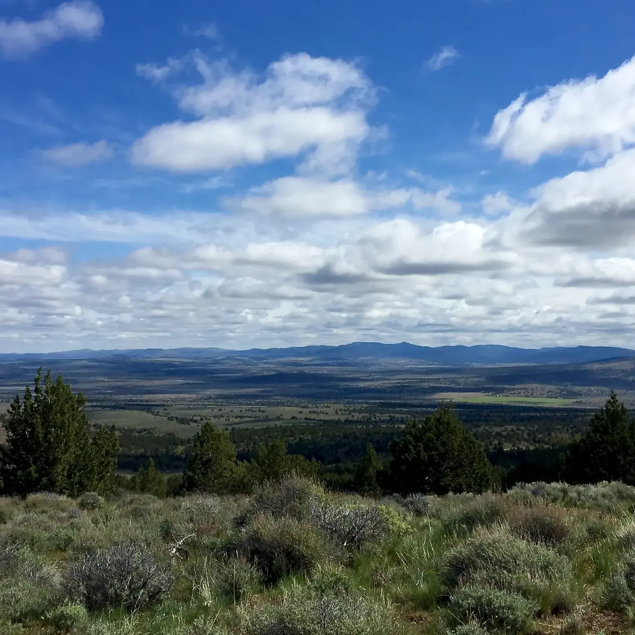

Tips from the Community

The Dry Canyon Trail runs for just under 8 miles through Redmond. Along the way it passes by a number of parks, through neighborhoods, and across or under many streets. It's a great way to get out and explore the area and still have a good chance to spot some local wildlife.
0
0

Very easy hike that goes under the highway and back up north to where the falls actually are, compared to the viewpoint park.
0
0

Although you wouldn't think it of a city park, Dry Canyon offers a great opportunity to enjoy the wildlife of the Central Oregon High Desert. With a variety of wild flower and fauna, you are sure to enjoy a peaceful outing.
0
0
The Deschutes River cuts through the high desert here and creates a green ribbon along the riparian area along it's banks. You can stop here and walk down to the river to cool down, or hike a short distance north to Cline Falls.
0
0
The Sisters to Smith Rock Scenic Bikeway winds its way through 37 miles of beautiful high desert terrain. The area's volcanic history is on full display as you ride in the shadow of the Cascades and end up at the basalt cliffs of Smith Rock.
0
0
Although you wouldn't think it of a city park, Dry Canyon offers a great opportunity to enjoy the wildlife of the Central Oregon High Desert. With a variety of wild flower and fauna, you are sure to enjoy a peaceful outing.
0
0
In the heart of Oregon's rugged landscape stands the Crooked River High Bridge, a steel arch masterpiece by Conde McCullough, born in 1926. Its grandeur, with a 295-foot deck above the canyon floor, a 330-foot main span, and a total length of 464 feet, once carried travelers on US 97. However, the demands of modern traffic led to its graceful retirement in 2000, making way for the Rex T. Barber Veterans Memorial Bridge. Today, it remains a cherished walkway, a living testament to history.
0
0
In Central Oregon lies the awe-inspiring Crooked River Gorge, a profound 500-foot chasm, enveloped by soaring 400-foot cliffs and teeming with diverse wildlife. Climbers are drawn to the upper reaches, where age-old columnar basalt cliffs, sculpted by the Crooked River over 1.2 million years, beckon with their timeless allure.
0
0
Frequently Asked Questions
How many touring cycling routes are available in Terrebonne?
Terrebonne offers a network of over 120 km of cycling trails, with komoot featuring 7 dedicated touring cycling routes. These routes cater to various preferences and skill levels, providing diverse options for exploration.
Are there easy or beginner-friendly touring cycling routes in Terrebonne?
Yes, Terrebonne has several easy routes perfect for beginners or those seeking a relaxed ride. For instance, the Dry Canyon Trail is an easy 7.5-mile path through a natural canyon. Another accessible option is the Dry Canyon Wildlife loop from Saint Charles Medical Center Redmond, which is 6.9 miles long and leads through a wildlife area.
What kind of terrain can I expect on Terrebonne's cycling routes?
The cycling routes in Terrebonne feature a mix of paved and unpaved (rock dust) surfaces. You'll find well-maintained paths along riverfronts and through wooded areas. Some routes, like those in Parc écologique de la Coulée, offer serene, car-free experiences, while others may include unpaved segments for a slightly more adventurous ride.
Are there any family-friendly cycling routes in Terrebonne?
Absolutely. The region is well-suited for family cycling, with many routes offering a tranquil environment away from car traffic. The Dry Canyon Wildlife loop from Redmond is an easy 7-mile route that families can enjoy. The Parc écologique de la Coulée is also a popular starting point for family-friendly cycling.
What are some scenic viewpoints or attractions accessible by bike in Terrebonne?
Terrebonne's routes offer numerous scenic views and historical attractions. You can enjoy breathtaking views alongside the Rivière des Mille Îles, especially around Île-des-Moulins, which also features historical buildings. The Sisters to Smith Rock Scenic Bikeway Loop provides extensive scenic vistas. You can also explore the charming Vieux-Terrebonne, rich in history and architecture, or visit natural monuments like Crooked River and Monkey Face Rock.
Are there any loop cycling routes in Terrebonne?
Yes, loop routes are available for touring cyclists. The Sisters to Smith Rock Scenic Bikeway Loop is a moderate 42.8-mile option that offers extensive views. Another loop is the Crooked River Gorge – Crook River High Bridge loop from Crooked River High Bridge, a moderate 20-mile ride.
What is the best time of year to go touring cycling in Terrebonne?
While specific conditions vary, the spring, summer, and fall months generally offer the most pleasant weather for touring cycling in Terrebonne. These seasons provide comfortable temperatures for enjoying the riverfront paths, wooded areas, and historical sites. It's always a good idea to check local weather forecasts before heading out.
Does Terrebonne offer connections to larger cycling networks?
Yes, Terrebonne's cycling infrastructure connects to broader regional and provincial networks. The Véloroute Terrebonne | Mascouche links to the famous P'tit Train du Nord bike path via the Seigneurie des Plaines network, and it also provides access to the Route Verte, which is North America's largest cycling network. This allows for extended touring opportunities beyond the immediate Terrebonne area.
Are there places to stop for coffee or food along the cycling routes?
While specific coffee shops directly on trails are not detailed, cycling through Vieux-Terrebonne offers access to various restaurants and amenities. This charming old neighborhood is a great place to take a break, enjoy a meal, or grab a coffee while immersing yourself in the region's history.
What do other touring cyclists enjoy most about cycling in Terrebonne?
The komoot community frequently praises Terrebonne for its diverse network of routes, which combine scenic riverfront paths with extensive wooded areas. Cyclists appreciate the varied terrain, including both paved and unpaved surfaces, and the opportunity to explore natural parks and historical sites like Île-des-Moulins.
Is public transportation available to access cycling routes in Terrebonne?
Terrebonne's commitment to outdoor recreation includes efforts to make its trails accessible. While specific public transport connections directly to trailheads for bikes may vary, the region's extensive network and urban integration suggest that key areas are generally reachable. It's advisable to check local public transport schedules and bike-carrying policies for the most up-to-date information.
Most popular attractions around Terrebonne

Get inspired with the komoot mobile app


Explore more
Browse the best Cycling routes in other regions.
