The best walks and hikes around Terrebonne
4.9
(127)
2,604
hikers
33
hikes
Hiking around Terrebonne is centered on the dramatic landscape of Smith Rock State Park. The region is characterized by volcanic rock formations, high desert terrain, and the Crooked River canyon. Trails here involve significant elevation changes with routes that climb to exposed ridges and descend to the riverbanks below.
Best hiking trails around Terrebonne
- The most popular hiking route is the Misery Ridge Trail and River Trail loop — Smith Rock State Park, a 3.9 mile (6.2 km) trail…
Last updated: June 25, 2026
4.9
(47)
727
hikers
6.23km
02:02
260m
260m
Moderate hike. Good fitness required. Easily-accessible paths. Suitable for all skill levels.
4.8
(6)
49
hikers
4.38km
01:12
50m
100m
Easy hike. Great for any fitness level. Easily-accessible paths. Suitable for all skill levels.

Sign up for free
1
hikers
5.01km
01:44
210m
270m
Moderate hike. Great for any fitness level. Mostly accessible paths. Sure-footedness required.
1.67km
00:38
70m
180m
Easy hike. Great for any fitness level. Easily-accessible paths. Suitable for all skill levels.
10.9km
03:44
790m
130m
Moderate hike. Good fitness required. Easily-accessible paths. Suitable for all skill levels.
Get access to more routes and recommendations from other explorers.
Sign up for free
Already have an account?
Our route recommendations are based on thousands of hikes, rides, and runs completed by other people on komoot.
Start today with a free account
Your next adventure awaits.
Login or Signup

Tips from the Community

Strongly suggest you walk this trail clockwise. This means you descend on steps rather than very slippy gravel & sand.
0
0


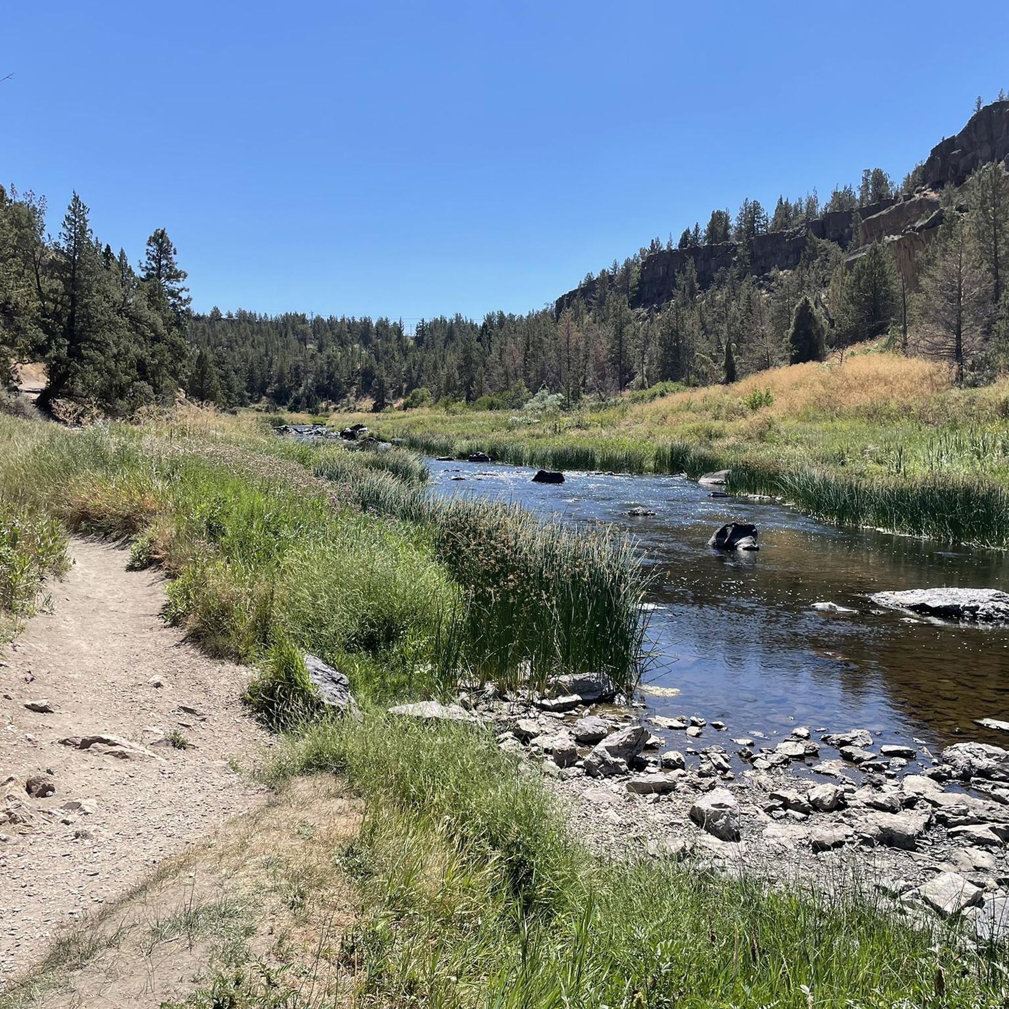
The River Trail is an easy, mostly flat out-and-back path that stretches 2.5 miles along the scenic Crooked River, with stunning views of the park's iconic rock formations. It's a fantastic trail for watching climbers and spotting wildlife. While you're here, you might see a deer fording the river, and if you're lucky, you might even catch a glimpse of an otter family swimming by. The trail also connects to other paths in the park and is a favorite for families who want to take in the scenery while enjoying mostly flat terrain.
0
0

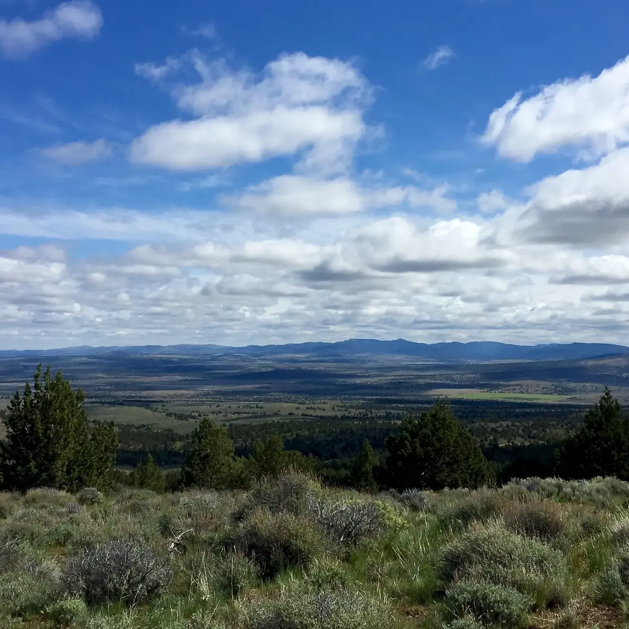
Gray Butte is the tallest point in the Smith Rock State Park trail system. If you want great views and/or a hard workout, getting to the top of the butte is the way to do it!
0
0
This volcanic butte is the highest point in Smith Rock, so if you're looking for views, you'll find them up here! A great destination when you need to do some climbing training.
0
0

From this spot on the Chute (a short connector trail), you get truly magnificent views over the park. There is also a bathroom and water fountain near here, making this a great place to stop, snap some photos, and grab a drink.
0
0
Look up to the cliffs of Monument in this section to find the Golden Eagle nest(s), both old and new. These cliffs are closed to climbing while the eagles are nesting, so stay back and enjoy them from afar. You'll often see the birds sitting at the top of the rocks or soaring over the canyon.
0
0
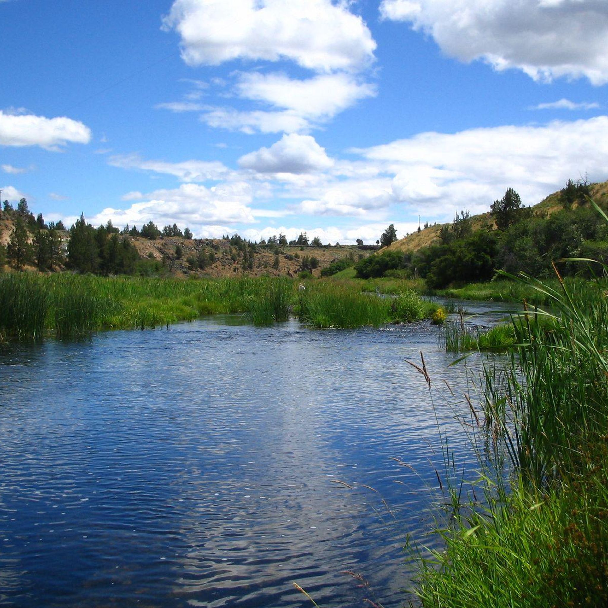
The Crooked River meanders slowly through the Smith Rocks, providing a home for herons, mergansers, geese and other birds.
0
0
Frequently Asked Questions
Are there any easy, family-friendly hikes in the Terrebonne area?
Yes, for a relatively flat and scenic walk, the Rim Rock & Canyon Trail loop is an excellent choice. It follows the Crooked River through the canyon floor, offering incredible views of the rock formations from below with minimal elevation gain.
What are the parking options for hiking at Smith Rock State Park?
Smith Rock State Park has several parking areas, including a main lot, an overflow lot, and a smaller lot for RVs and buses. A parking permit is required, which can be purchased on-site. The lots can fill up quickly, especially on weekends and holidays, so arriving early is strongly recommended.
Are dogs allowed on the trails in Smith Rock State Park?
Yes, dogs are permitted in Smith Rock State Park, but they must be kept on a leash at all times. The terrain can be steep and exposed, so ensure your dog is comfortable with the conditions and that you bring plenty of water for them.
I'm looking for a difficult hike. What do you recommend?
For a challenging trek with significant elevation gain, consider the View of Smith Rock State Park – Monkey Face Rock loop. This demanding route rewards hikers with stunning, up-close views of the park's iconic rock spires and requires a good level of fitness.
What is the terrain like on the trails around Terrebonne?
The hiking terrain is characteristic of the high desert. Expect dusty, rocky paths with sections of steep ascents and descents. Trails range from flat riverside walks along the Crooked River to exposed ridge climbs on volcanic tuff and basalt cliffs. Sturdy footwear is essential.
How many hiking trails are available around Terrebonne?
There are over 25 designated hiking routes to explore in the area. These trails cover a range of difficulties, from easy riverside strolls to strenuous summit climbs, offering something for every ability level.
What do other hikers enjoy most about the trails in this area?
The area is highly rated by the komoot community. Reviewers frequently praise the dramatic volcanic rock formations, the stunning panoramic views from the ridges, and the scenic paths that run alongside the Crooked River.
Are there any good spots for sunset hikes?
Many of the trails with westward-facing views offer spectacular sunsets. The ridges within Smith Rock State Park are particularly popular for watching the evening light illuminate the rock formations. Always carry a headlamp for your descent after sunset.
What kind of wildlife might I see while hiking?
The park is home to a variety of wildlife. It's common to see mule deer, river otters, and a wide array of bird species, including golden eagles and prairie falcons. You might also spot lizards and the occasional rattlesnake, so it's always wise to stay aware of your surroundings.
Is there a good moderate loop trail that isn't the main Misery Ridge route?
Yes, the Summit Trail and Wolf Tree Trail loop is a great alternative. It's a longer, moderately difficult hike that takes you to the park's upper viewpoints before descending through juniper and sagebrush landscapes.
What is the best time of year to hike in Terrebonne?
Spring and fall are the ideal seasons for hiking in Terrebonne, offering pleasant temperatures. Summers can be very hot, especially on exposed trails, so hikes should be planned for early morning or late evening. Winter can bring snow and ice, requiring appropriate gear like microspikes.
Most popular attractions around Terrebonne

Get inspired with the komoot mobile app


Explore more
Browse the best Hikes in other regions.
