The best MTB trails around Terrebonne
5.0
(1)
14
riders
6
rides
Mountain biking around Terrebonne, Quebec, offers a diverse landscape characterized by the scenic Rivière des Mille Îles and an extensive network of parks. The region features varied terrain, from multi-purpose paths along riverbanks to dedicated mountain bike trails with different difficulty levels. These routes provide opportunities to explore natural features and green spaces.
Best mountain bike trails around Terrebonne
- The most popular mountain bike trail is Crooked River Caldera via River Trail, a 7.0 miles (11.3 km) trail that…
Last updated: May 26, 2026
11.3km
01:07
220m
220m
Easy mountain bike ride. Great for any fitness level. Suitable for all skill levels.
17.3km
02:13
760m
760m
Moderate mountain bike ride. Good fitness required. Advanced riding skills necessary.

Sign up for free
3.49km
00:18
50m
50m
Easy mountain bike ride. Great for any fitness level. Suitable for all skill levels.
7.71km
00:52
240m
240m
Easy mountain bike ride. Great for any fitness level. Suitable for all skill levels.
5.0
(1)
10
riders
52.9km
05:45
1,450m
1,450m
Hard mountain bike ride. Very good fitness required. Advanced riding skills necessary. Some portions of the route may require you to push your bike.
Our route recommendations are based on thousands of hikes, rides, and runs completed by other people on komoot.
Start today with a free account
Your next adventure awaits.
Login or Signup
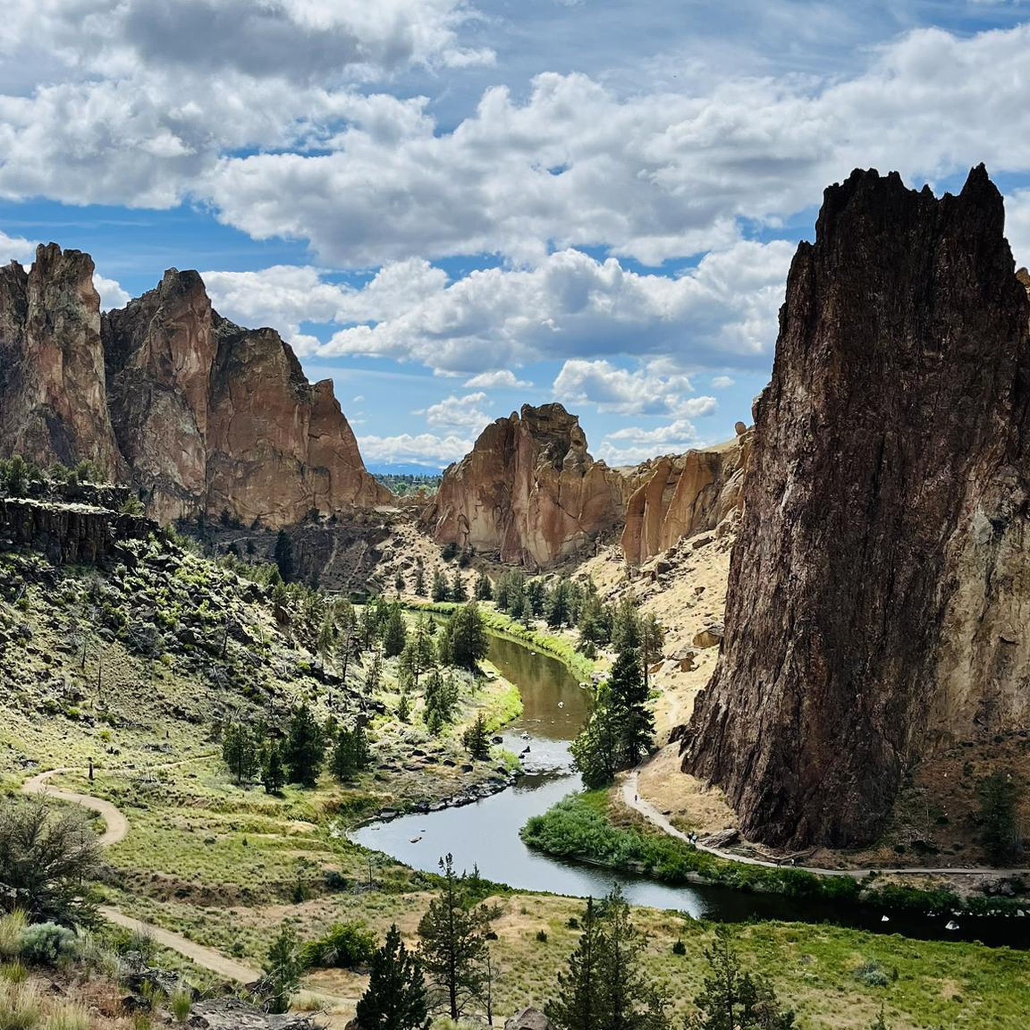
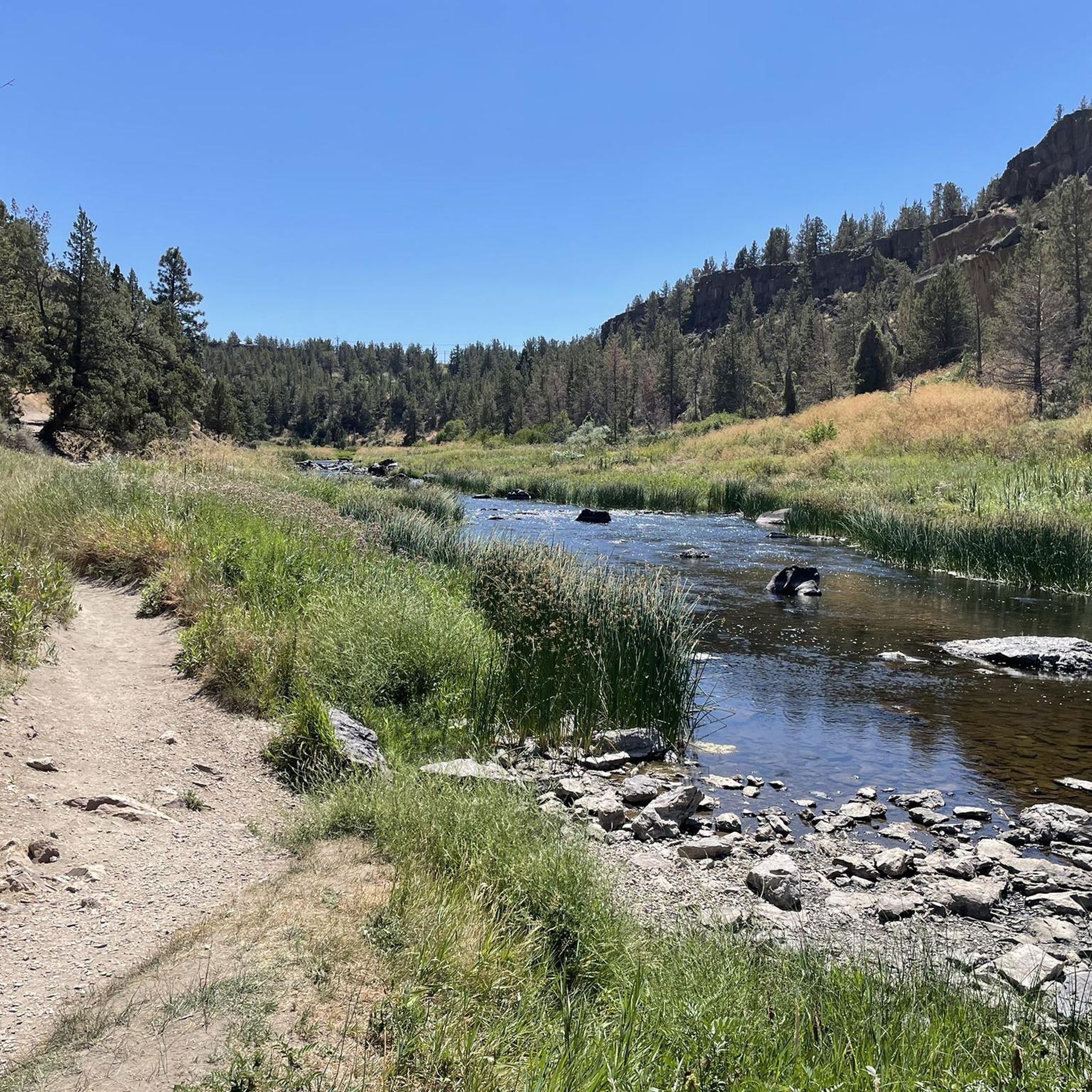
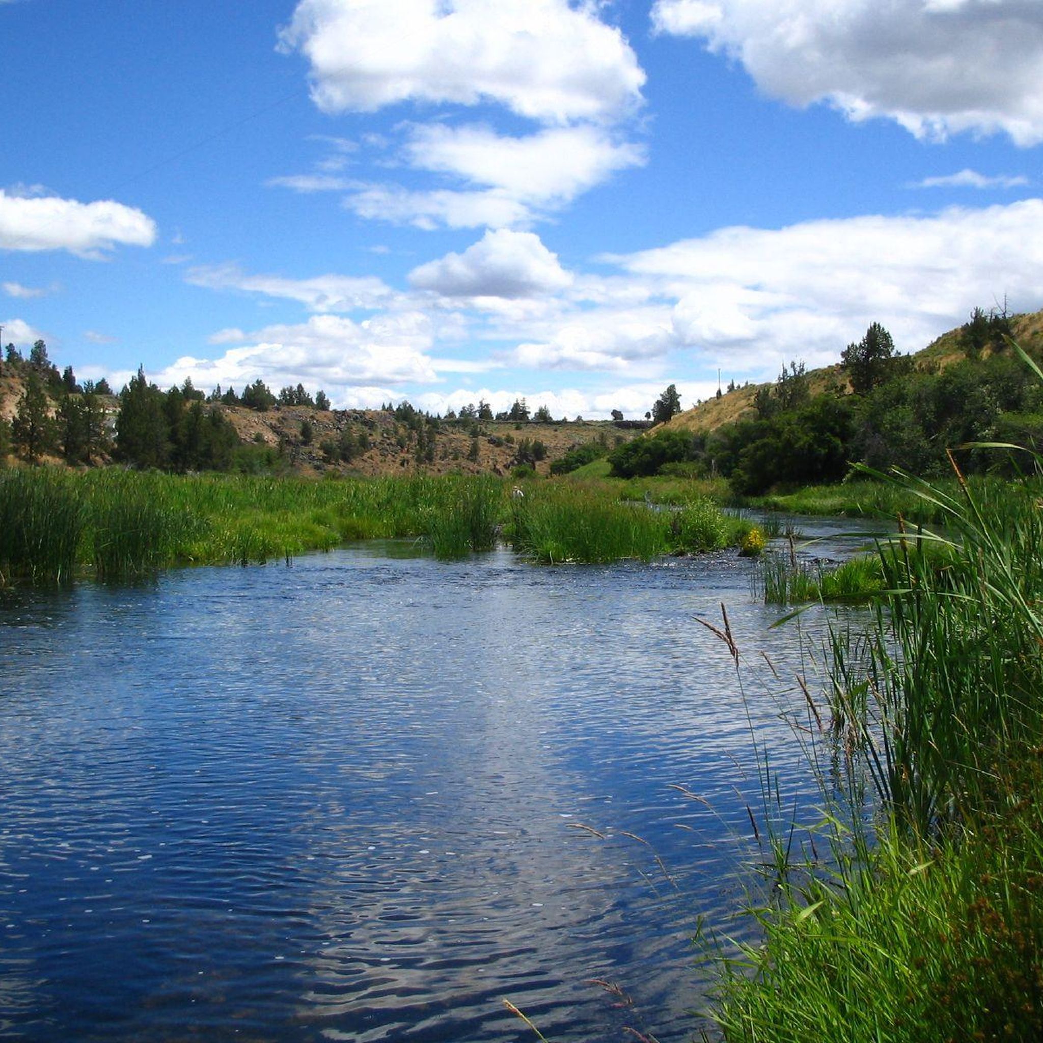

Tips from the Community

Strongly suggest you walk this trail clockwise. This means you descend on steps rather than very slippy gravel & sand.
0
0


Gray Butte is the tallest point in the Smith Rock State Park trail system. If you want great views and/or a hard workout, getting to the top of the butte is the way to do it!
0
0
This volcanic butte is the highest point in Smith Rock, so if you're looking for views, you'll find them up here! A great destination when you need to do some climbing training.
0
0
One of the best things to do at Smith Rock is to watch the climbers. Seeing them on the slack line high above the canyon is especially fun to watch.
0
0
The long climb out to Gray Butte is a favorite for local trailrunners.
0
0
The Crooked River meanders slowly through the Smith Rocks, providing a home for herons, mergansers, geese and other birds.
0
0

In the western reaches of Ochoco National Forest, the majestic Gray Butte, rising to 5,091 feet (1.55 km), awaits. To reach its peak, follow the enchanting combination of the Cole Loop Trail and forest roads. From this summit, you're greeted with awe-inspiring views of Smith Rock State Park to the southwest.
0
0
Frequently Asked Questions
How many mountain bike trails are available around Terrebonne?
There are 6 mountain bike trails available around Terrebonne. These routes offer a diverse range of experiences, from easy rides to more challenging paths, catering to various skill levels.
What are the general difficulty levels of mountain bike trails in Terrebonne?
The mountain bike trails in Terrebonne offer a good mix of difficulty levels. You'll find 3 easy trails, 1 moderate trail, and 2 difficult trails. This variety ensures options for beginners looking for a relaxed ride and experienced riders seeking a challenge.
What kind of terrain can I expect on mountain bike trails in Terrebonne?
You can expect varied terrain, from multi-purpose paths along the scenic Rivière des Mille Îles to dedicated mountain bike trails. Some areas, like the Urbanova Mountain Bike Trails, feature popular blue difficulty singletracks, as well as more challenging black diamond trails with bridges, drops, and even roller coasters. The Côte Boisée site also offers novice, sport, and elite courses.
Are there any notable natural features or landmarks to see while mountain biking in Terrebonne?
Yes, the region is rich in natural beauty. You can ride along the scenic Rivière des Mille Îles, explore numerous parks like Parc écologique de la Coulée, or discover the historic charm of Old Terrebonne. Specific highlights include the Crooked River, Monkey Face Rock, and viewpoints like Eagle's Nest.
What do other mountain bikers enjoy the most about mountain biking in Terrebonne?
The area is highly rated by the komoot community, with an average score of 5.0 stars. Mountain bikers often praise the diverse terrain and the scenic riverine paths, which provide a beautiful backdrop for rides. The variety of trails, from easy to difficult, is also frequently appreciated.
Are there any easy mountain bike trails suitable for beginners in Terrebonne?
Yes, there are several easy trails perfect for beginners. For example, the Crooked River Caldera via River Trail is a 7.0-mile (11.3 km) route that offers a mix of terrain suitable for various skill levels, including those new to mountain biking. Another option is the Canyon Trail, a shorter 2.2-mile (3.5 km) path.
Are there any challenging mountain bike routes for advanced riders?
Absolutely. For advanced riders seeking a challenge, there are 2 difficult trails available. One notable option is the Crooked River – Wolf Tree Trail loop from Smith Rock State Park, which covers 32.9 miles (52.9 km) with significant elevation gain. Additionally, some trails at Urbanova feature black diamond sections with technical features like bridges and drops.
Can I find mountain bike trails that are loops or circular routes in Terrebonne?
Yes, you can find circular routes. The Cole Loop and Gray Butte Trail Loop is a moderate 10.7-mile (17.3 km) path that offers a loop experience with diverse scenery. The Crooked River – Wolf Tree Trail loop from Smith Rock State Park is another challenging loop option.
What is the longest mountain bike trail in Terrebonne?
The longest mountain bike trail listed is the Crooked River – Wolf Tree Trail loop from Smith Rock State Park, which spans approximately 32.9 miles (52.9 km). This difficult route is ideal for experienced riders looking for an extended adventure.
Is there parking available near the mountain bike trails in Terrebonne?
While specific parking details for each trail are best checked on individual route pages, Terrebonne is known for its extensive park system and recreational infrastructure. Areas like the Côte Boisée site, which offers free access to its mountain bike trails, typically provide designated parking. The Véloroute Terrebonne | Mascouche network also has various access points where parking can often be found.
Are there any trails that offer significant elevation gain for a challenging workout?
Yes, for those looking for a significant climb, the Cole Loop and Gray Butte Trail Loop features substantial elevation gain, making it a good choice for a challenging workout. The Crooked River – Wolf Tree Trail loop from Smith Rock State Park also offers considerable ascents.
What is the best season for mountain biking in Terrebonne?
While specific recommendations aren't provided, the diverse landscapes and extensive trail networks suggest that spring, summer, and fall would be ideal for mountain biking in Terrebonne, offering pleasant weather and vibrant scenery. Some trails might be accessible in winter, but conditions would vary significantly.
Most popular routes around Terrebonne
Most popular attractions around Terrebonne

Get inspired with the komoot mobile app


Explore more
Browse the best MTB trails in other regions.
