The 20 Most Amazing Peaks around Taxenbach
Best mountain peaks around Taxenbach are situated within the Hohe Tauern National Park region in Salzburger Land, Austria. This area features diverse high alpine terrain with numerous peaks exceeding 2,000 meters. Visitors can find a variety of routes, from challenging alpine hikes to more accessible trails. The region offers an impressive backdrop for exploring the natural landscape.
Best mountain peaks around Taxenbach
- The most popular mountain peak is Taghaube Summit, a summit offering fine views. This peak is known for its steep climb and is suitable for experienced hikers.
- Another must-see spot is Hundstein Summit, a summit and viewpoint. At 2,117 meters, it is the highest mountain in the Salzburg Slate Alps, providing extensive panoramic views of the surrounding mountains.
- Visitors also love Wastlhöhe Summit, a summit with a viewpoint. This location offers an all-round view and features a summit cross.
- Taxenbach is known for its diverse range of summits, viewpoints, and challenging climbs. The area offers a variety of mountain peaks to see and explore, catering to different hiking abilities.
- The mountain peaks around Taxenbach are appreciated by the komoot community, with 148 upvotes and 140 photos shared by visitors.
Last updated: June 24, 2026
Hochglocker summit
Highlight • Summit
Translated by Google •
Tip by

Schneeberg Summit Cross (1,921 m)
Highlight • Summit
Translated by Google •
Tip by

Sign up now to discover places like this
Get recommendations on the best single tracks, peaks, & plenty of other exciting outdoor places.
Sign up for free
Wastlhöhe Summit
Highlight • Summit
Translated by Google •
Tip by

Hundstein Summit
Highlight • Summit
The view sweeps over the southern slopes of the Steinernes Meer and the Hochkönig. To the south you can see the Hohe Tauern with the Großer Wiesbachhorn and the Hoher Tenn.
At least now you realize why so many cyclists and hikers are drawn to this height.
Translated by Google •
Tip by

Imbachhorn Summit
Highlight • Summit
To the Steinernen Meer, Hochkönig, Zeller See, Kitzsteinhorn and Tauern Glacier World etc. And at the Gliwice hut you are perfectly supplied all the time.
Translated by Google •
Tip by

Sign up for free to discover even more peaks around Taxenbach.
Sign up for free
Already have an account?
Start today with a free account
Your next adventure awaits.
Login or Signup
Popular around Taxenbach
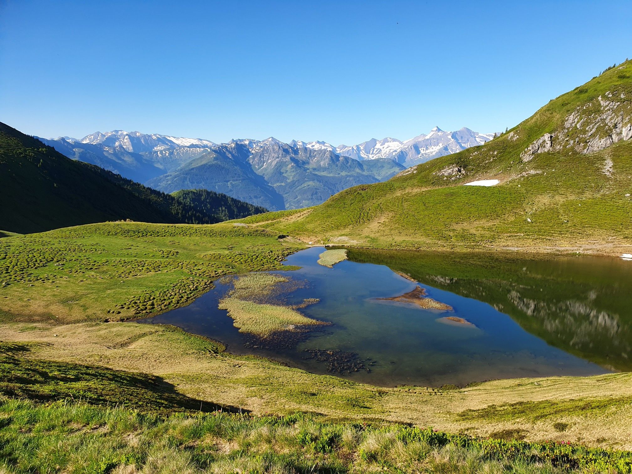
Hohe Tauern Panorama Trail – Face-to-face with 3000-metre peaks

Ruperti Trail – Hike from Austria's Bohemian Forest to the Carnic Alps
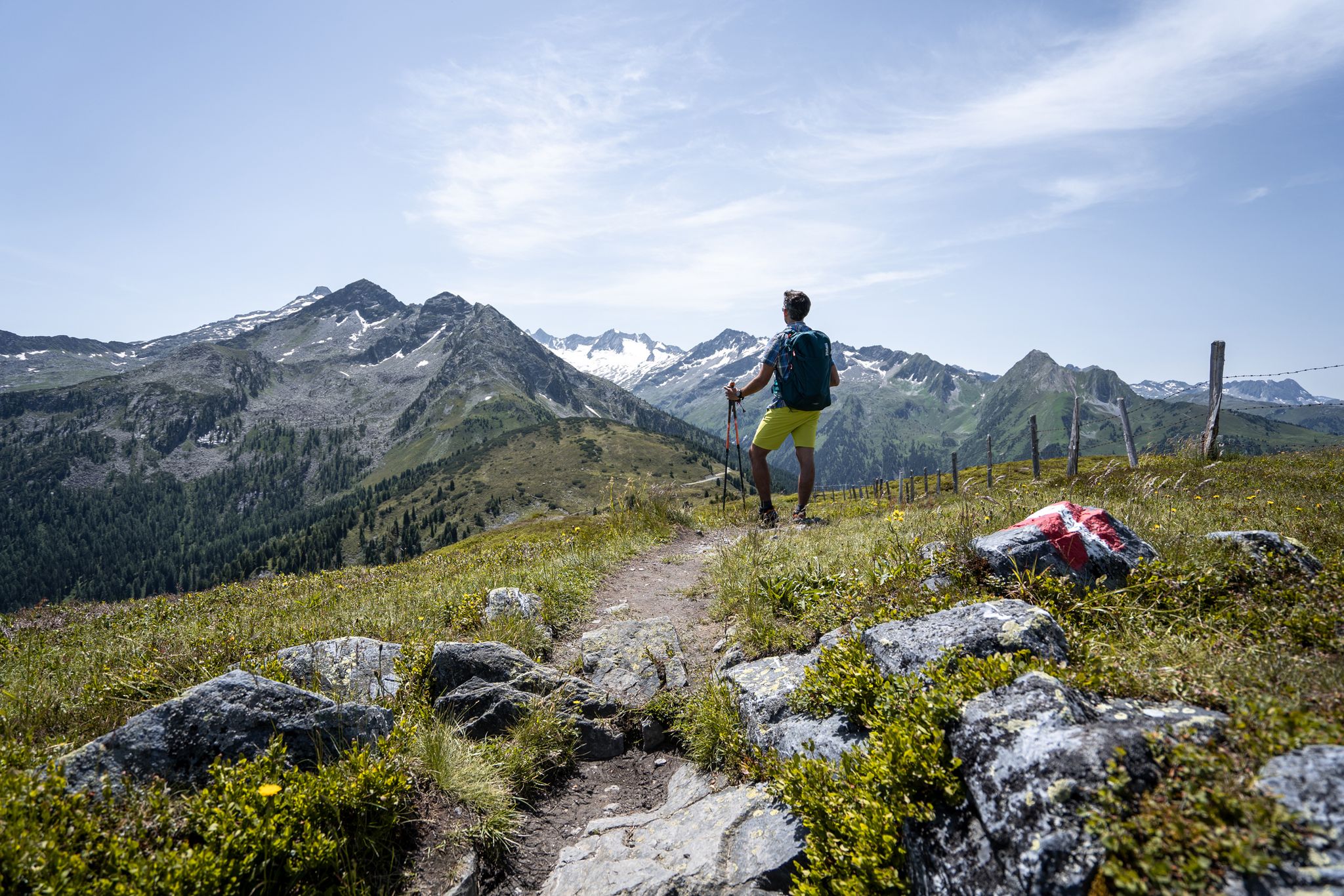
Best views of the highest mountains — Hohe Tauern Panorama Trail

On a voyage of discovery in Austria’s High Tauern National Park
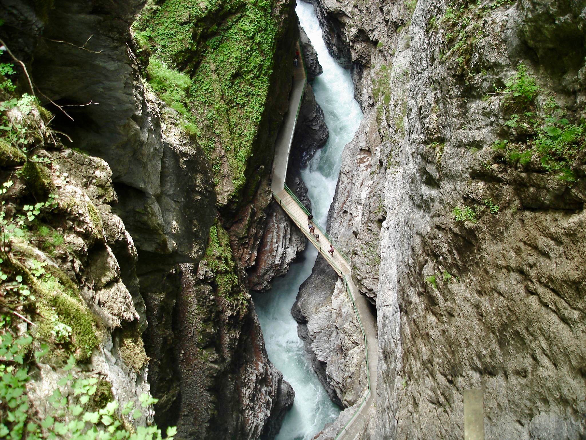
The most beautiful gorges of the Alps
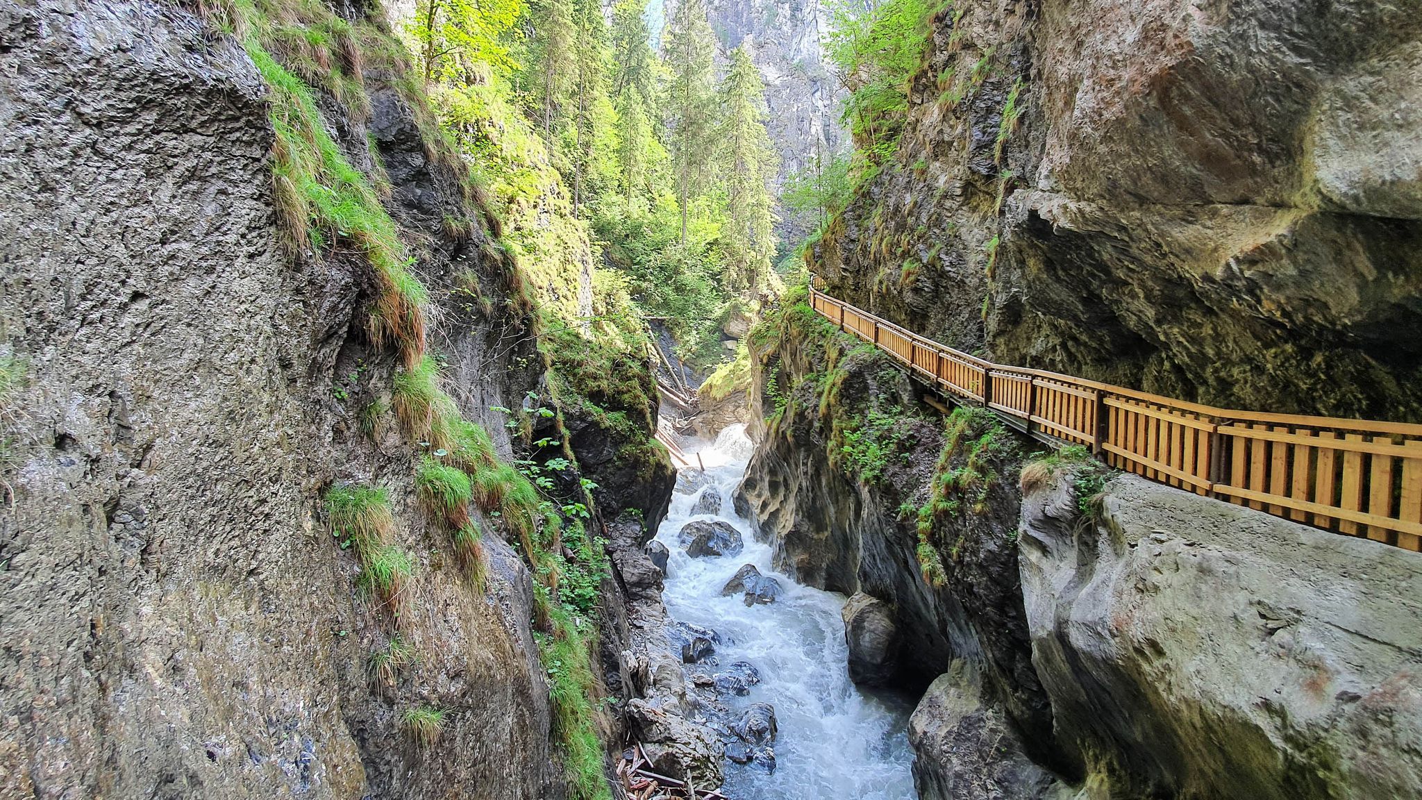
The most beautiful gorges in the Salzburger and Berchtesgadener Land
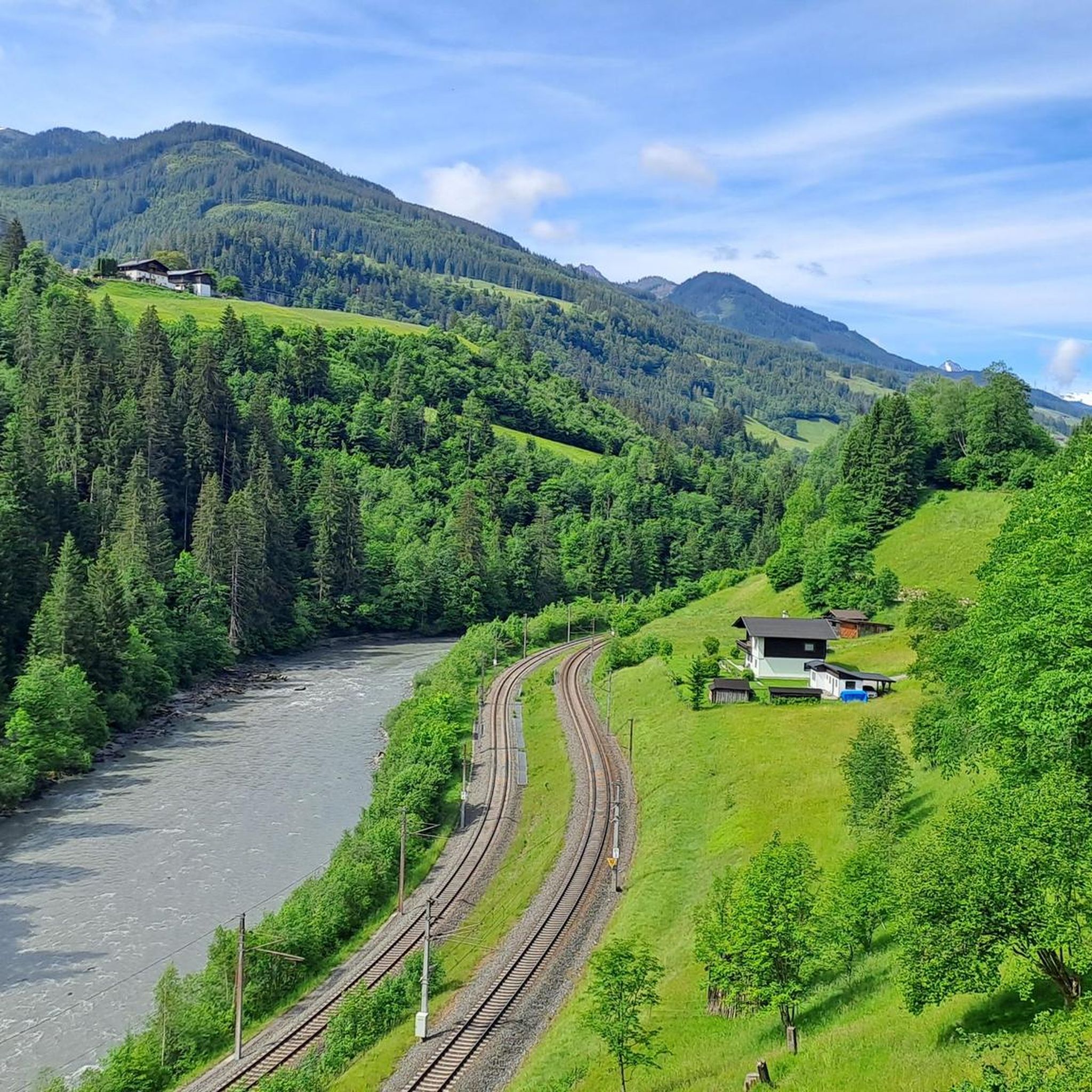
Hiking around Taxenbach
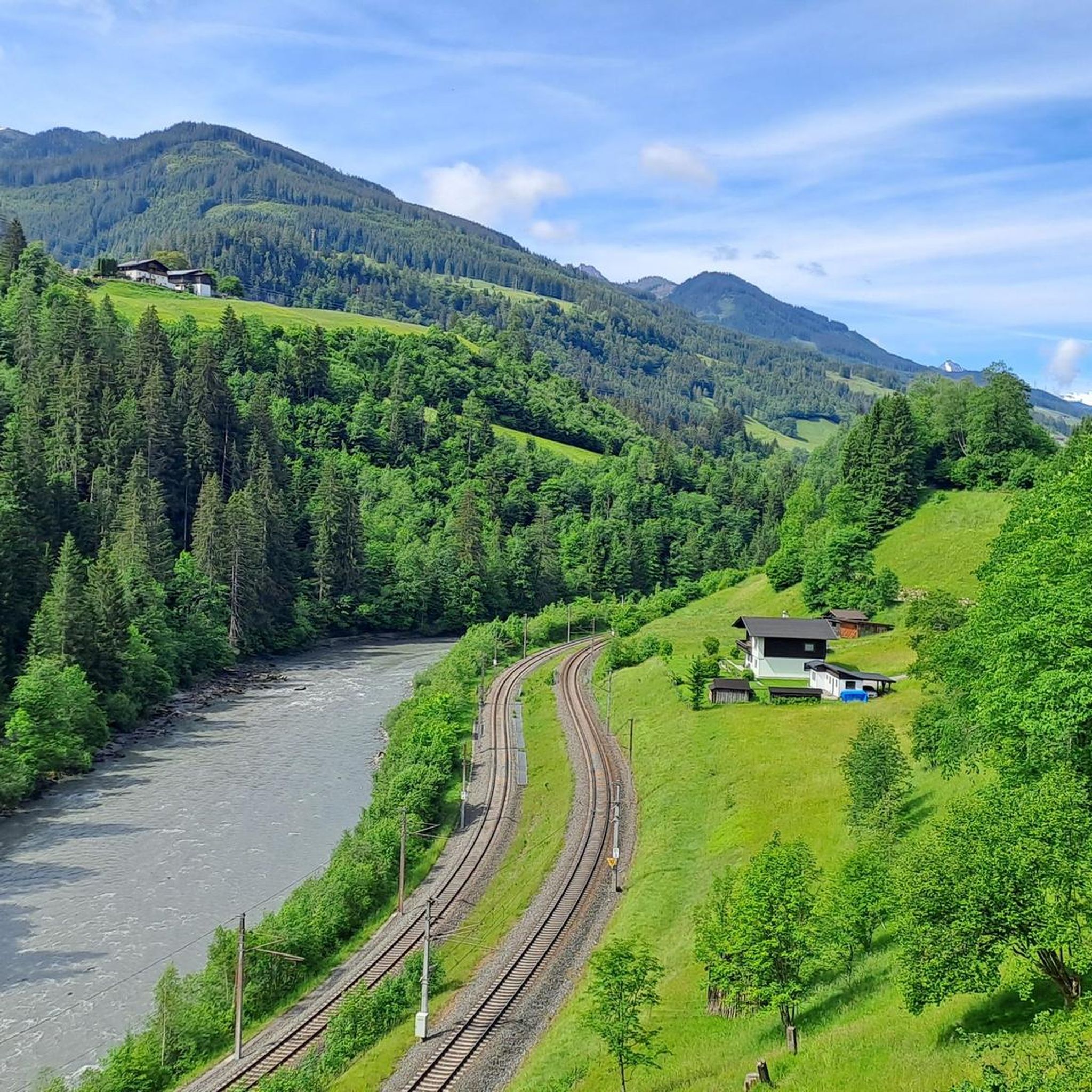
Cycling around Taxenbach
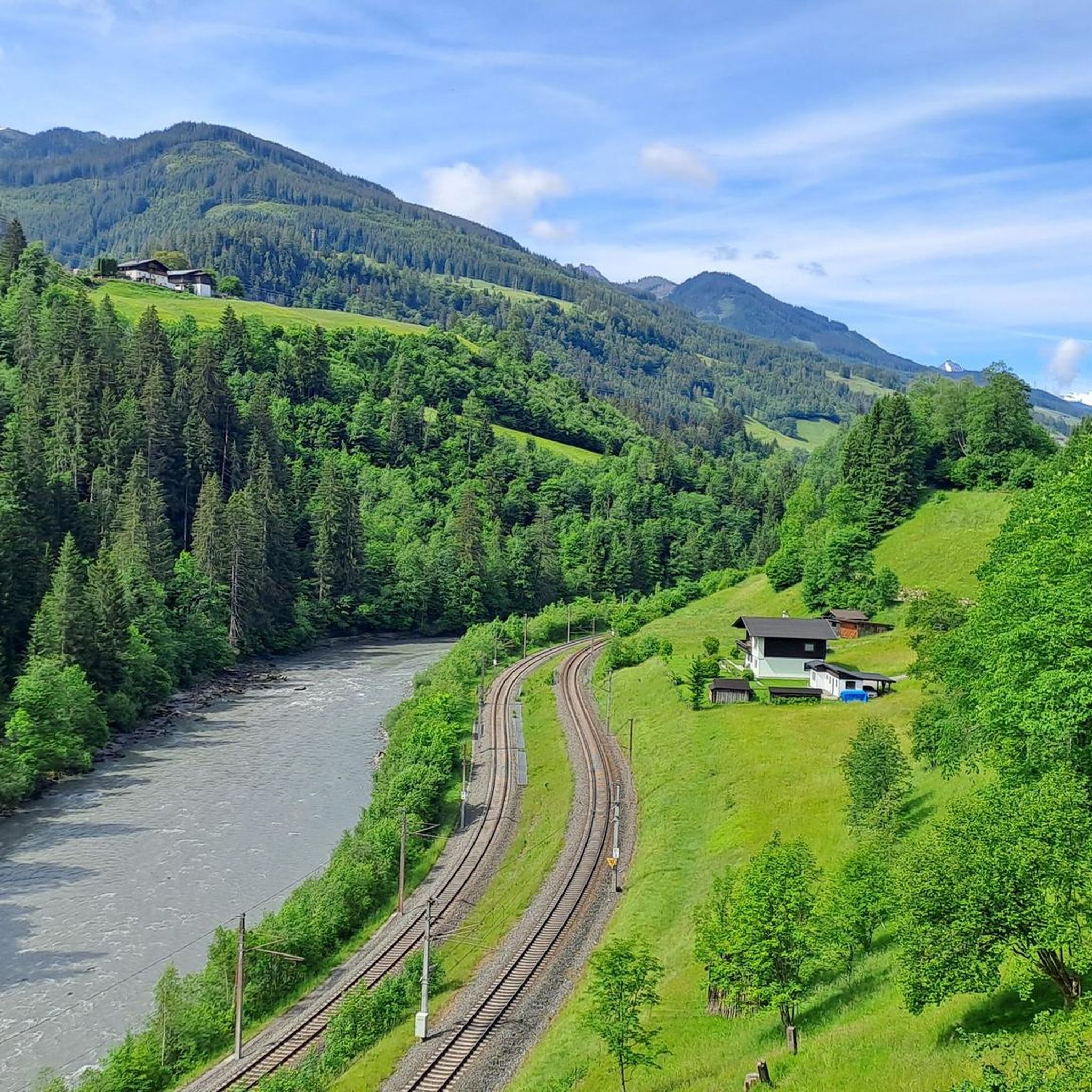
Road Cycling Routes around Taxenbach
MTB Trails around Taxenbach
Other adventures around Taxenbach


Tips from the Community

Great views in good weather. If it rains or snows, bring a change of clothes.
2
0
Easily accessible on foot, also recommended for brisk running sessions
6
0

If you are lucky you will also see golden eagles on the Imbachhorn or the Rettenzink
0
0

From the Schneeberg you have a breathtaking view of the surrounding mountains and the Hochkönig massif. At 1,921 meters above sea level, with a bit of luck, you can even see the Großglockner on sunny days.
1
0


Very nice view, funny idea with the throne 🤩
3
0
Frequently Asked Questions
Which mountain peaks around Taxenbach offer challenging climbs for experienced mountaineers?
For experienced mountaineers seeking demanding alpine challenges, the region offers peaks like Reißrachkopf (2,210 m) and Hirschkopf (2,252 m), which are part of multi-summit routes. Additionally, Taghaube Summit is known for its steep climb and requires good sure-footedness and a head for heights in its upper section.
Are there any family-friendly mountain walks or natural attractions near Taxenbach?
While many peaks are challenging, the Kitzlochklamm Gorge, though not a mountain peak itself, offers a wide spectrum of routes from moderate paths suitable for families to more challenging options. This fascinating nature park features breathtaking waterfalls, unique natural walkways, and impressive bridges, making it a captivating destination for all ages.
What is the best time of year to hike the mountains around Taxenbach?
The best seasons for hiking in the Taxenbach mountains are spring and autumn, when the weather is typically mild and nature is vibrant. Summer mornings also offer good conditions for exploring the trails.
Where can I find extensive panoramic views of the surrounding mountains in the Taxenbach area?
Several peaks offer fantastic panoramic views. Hundstein Summit, the highest mountain in the Salzburg Slate Alps, provides extensive views over the Steinernes Meer, Hochkönig, and Hohe Tauern. From Schneeberg Summit Cross (1,921 m), you can see the Hochkönig massif and, on clear days, even the Großglockner. Wastlhöhe Summit and Hochglocker summit also offer complete all-round views.
Are there opportunities for road cycling near the mountain peaks of Taxenbach?
Yes, the region offers several road cycling routes. You can explore options like the 'Salzach River – Quiet Road to Bruck loop from Lend' or the 'Rauriserhöhe Pass (978 m) – View of Kitzlochklamm loop from Taxenbach-Rauris'. For more details, refer to the Road Cycling Routes around Taxenbach guide.
What about gravel biking trails in the Taxenbach region?
Gravel biking enthusiasts will find challenging routes such as the 'Erlhofplatte Gravel Tour' and the 'Magnificent view – Hochtor loop from Fusch an der Großglocknerstraße'. Discover more trails in the Gravel biking around Taxenbach guide.
Can I find mountain biking trails around Taxenbach's peaks?
Absolutely. The area provides various mountain biking trails, including the 'Wörth-Buchenberg Chapel – View of Kolm Saigurn Valley loop from Taxenbach' and the 'Moosalm Adam Hut – Hundstein Summit loop from Gries im Pinzgau'. Explore further options in the MTB Trails around Taxenbach guide.
What makes the Hundstein Summit a significant peak to visit?
At 2,117 meters, Hundstein Summit is the highest mountain in the Salzburg Slate Alps. It rewards hikers with a fantastic panoramic view of the surrounding mountains and is a key point along the Hohe Tauern Panorama Trail. There's also a refuge, the Statzerhaus, at the summit.
Are there any circular mountain hikes in the Taxenbach area?
Yes, for those seeking circular routes, the region offers options like the 'Icy Mountain Lake – Reißrachkopf (2,210 m) loop from Hochalm', which is a 6.43 km trail through high alpine terrain. Another is the 'Reißrachkopf (2,210 m) – View of Hirschkopf (2250 m) loop from Hochalm'.
What kind of views can I expect from Schneeberg Summit Cross?
From the Schneeberg Summit Cross (1,921 m), you can enjoy a breathtaking view of the surrounding mountains and the impressive Hochkönig massif. On clear, sunny days, with a bit of luck, you might even catch a glimpse of the Großglockner.
What are some tips for hiking Taghaube Summit?
Hiking Taghaube Summit offers fine views, but it's a black-rated route that should not be underestimated. It is not suitable for beginners. Essential tips include being free from giddiness, having good sure-footedness, and a head for heights, especially in the upper section of the steep climb.
Are there any unique natural features or historical elements to discover in the mountains around Taxenbach?
Beyond the peaks, the Kitzlochklamm Gorge is a significant natural monument with unique natural walkways, impressive bridges, and a dripstone cave. Its walkways and tunnels date back to the 16th century, adding a historical dimension to its natural beauty. Additionally, Hundstein Summit is notable as the highest point in the Salzburg Slate Alps.
Most popular routes around Taxenbach
Most popular attractions around Taxenbach

Get inspired with the komoot mobile app


Explore more
See even more amazing summits around Taxenbach with these guides:
