The best mountain hikes around Taxenbach
4.6
(72)
817
hikers
53
hikes
Mountaineering around Taxenbach is set within the Hohe Tauern National Park holiday region, characterized by a diverse and dramatic natural landscape. The area features high alpine terrain with numerous peaks exceeding 2,000 meters, including the Reißrachkopf and Hirschkopf. The Kitzlochklamm Gorge, carved by the Rauriser Ache river, offers unique features like waterfalls and via ferratas. This combination provides a wide spectrum of mountaineering routes.
Best mountaineering routes around Taxenbach
- The most popular mountaineering route is Drei Brüder Ridge Hike loop…
Last updated: September 1, 2026
5.0
(1)
28
hikers
16.8km
07:06
1,200m
1,200m
Hard mountaineering route. Very good fitness required. Sure-footedness, sturdy shoes and alpine experience required.
5.0
(1)
13
hikers
7.89km
02:46
390m
390m
Moderate mountaineering route. Good fitness required. Mostly accessible paths. Sure-footedness required.

Sign up for free
4.8
(4)
15
hikers
2.88km
01:03
170m
170m
Easy mountaineering route. Great for any fitness level. Easily-accessible paths. Suitable for all skill levels.
5.0
(1)
16
hikers
8.57km
02:58
410m
410m
Moderate mountaineering route. Good fitness required. Mostly accessible paths. Sure-footedness required.
5.0
(3)
12
hikers
6.35km
02:33
430m
420m
Hard mountaineering route. Good fitness required. Sure-footedness, sturdy shoes and alpine experience required.
Get access to more routes and recommendations from other explorers.
Sign up for free
Already have an account?
Our route recommendations are based on thousands of hikes, rides, and runs completed by other people on komoot.
Start today with a free account
Your next adventure awaits.
Login or Signup
Popular around Taxenbach
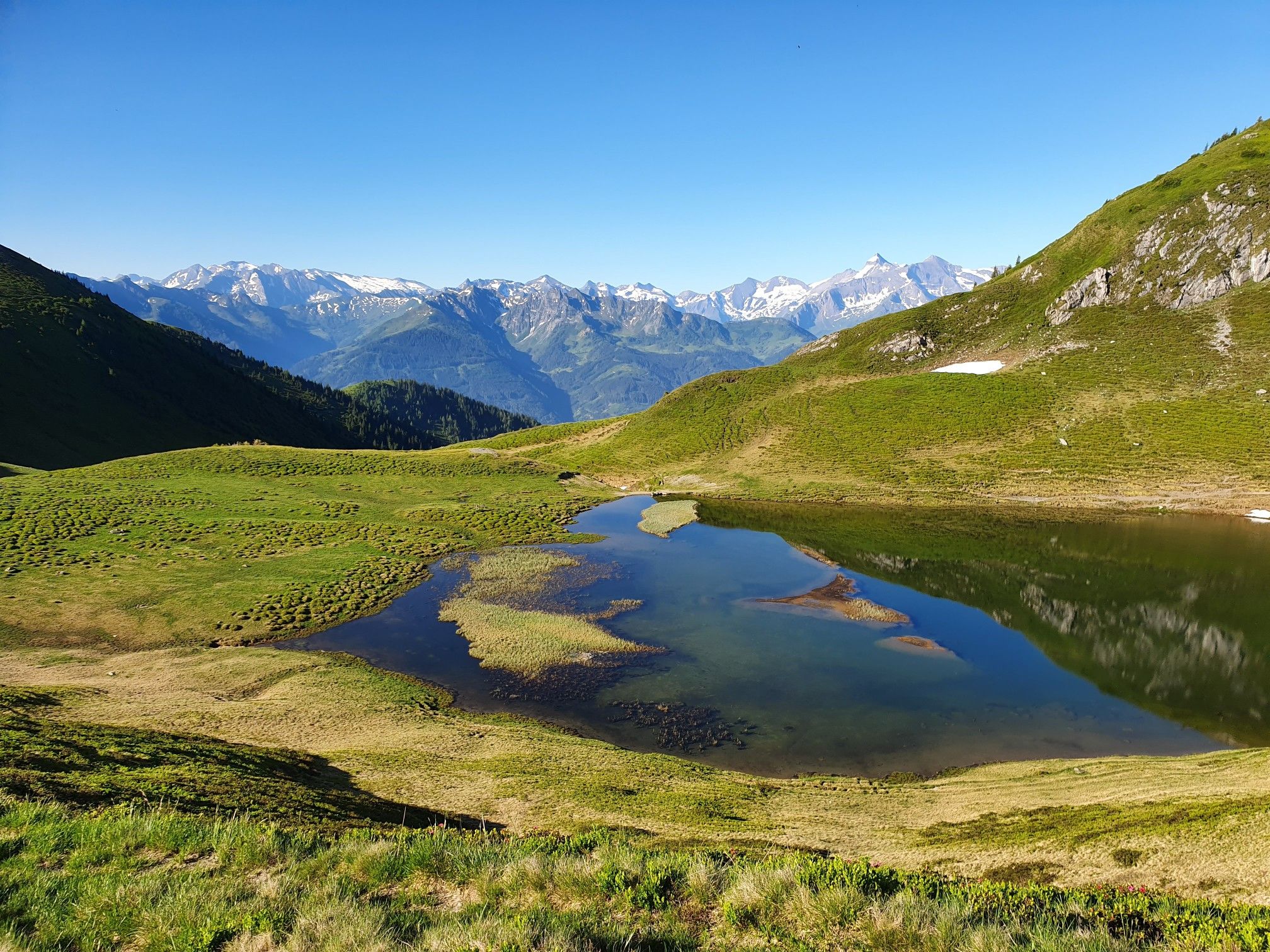
Hohe Tauern Panorama Trail – Face-to-face with 3000-metre peaks

Ruperti Trail – Hike from Austria's Bohemian Forest to the Carnic Alps
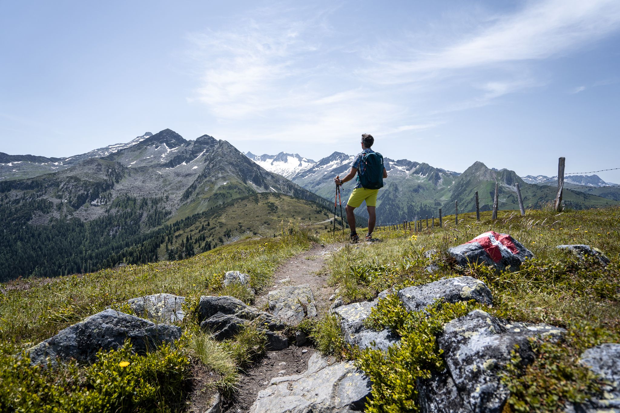
Best views of the highest mountains — Hohe Tauern Panorama Trail

On a voyage of discovery in Austria’s High Tauern National Park
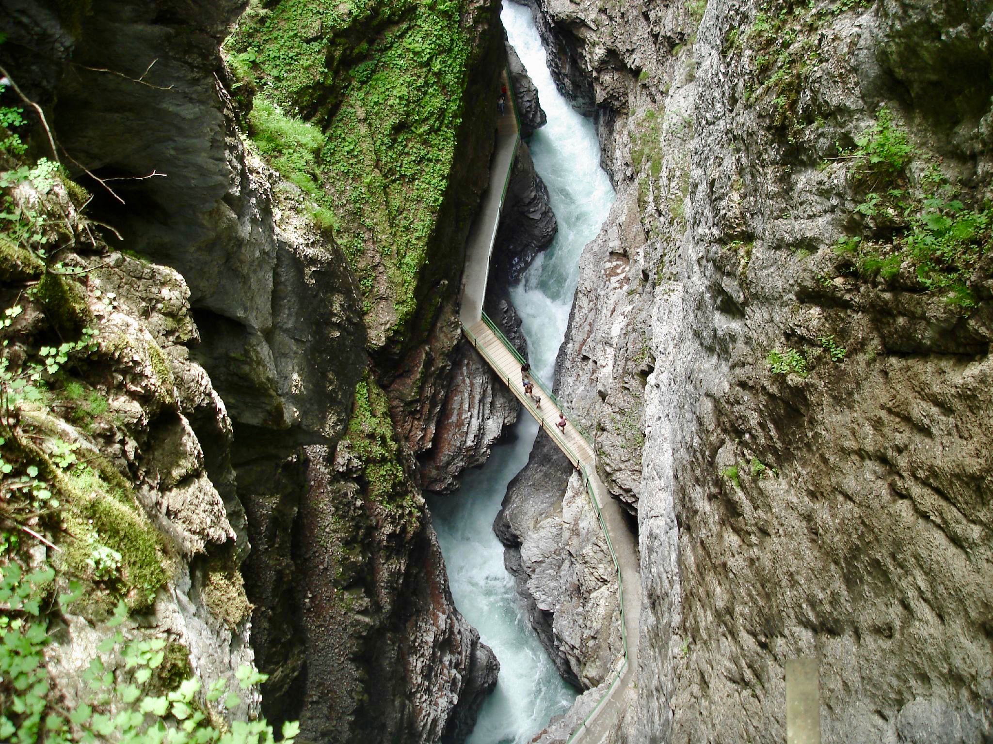
The most beautiful gorges of the Alps
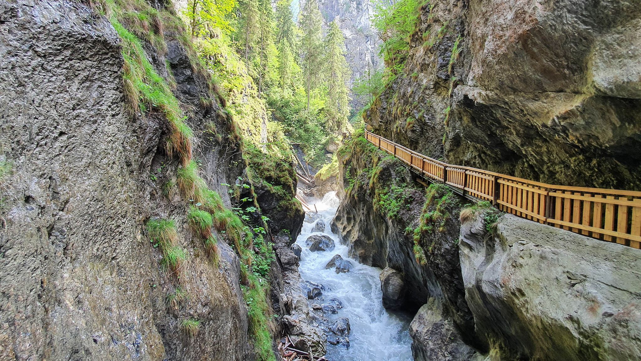
The most beautiful gorges in the Salzburger and Berchtesgadener Land
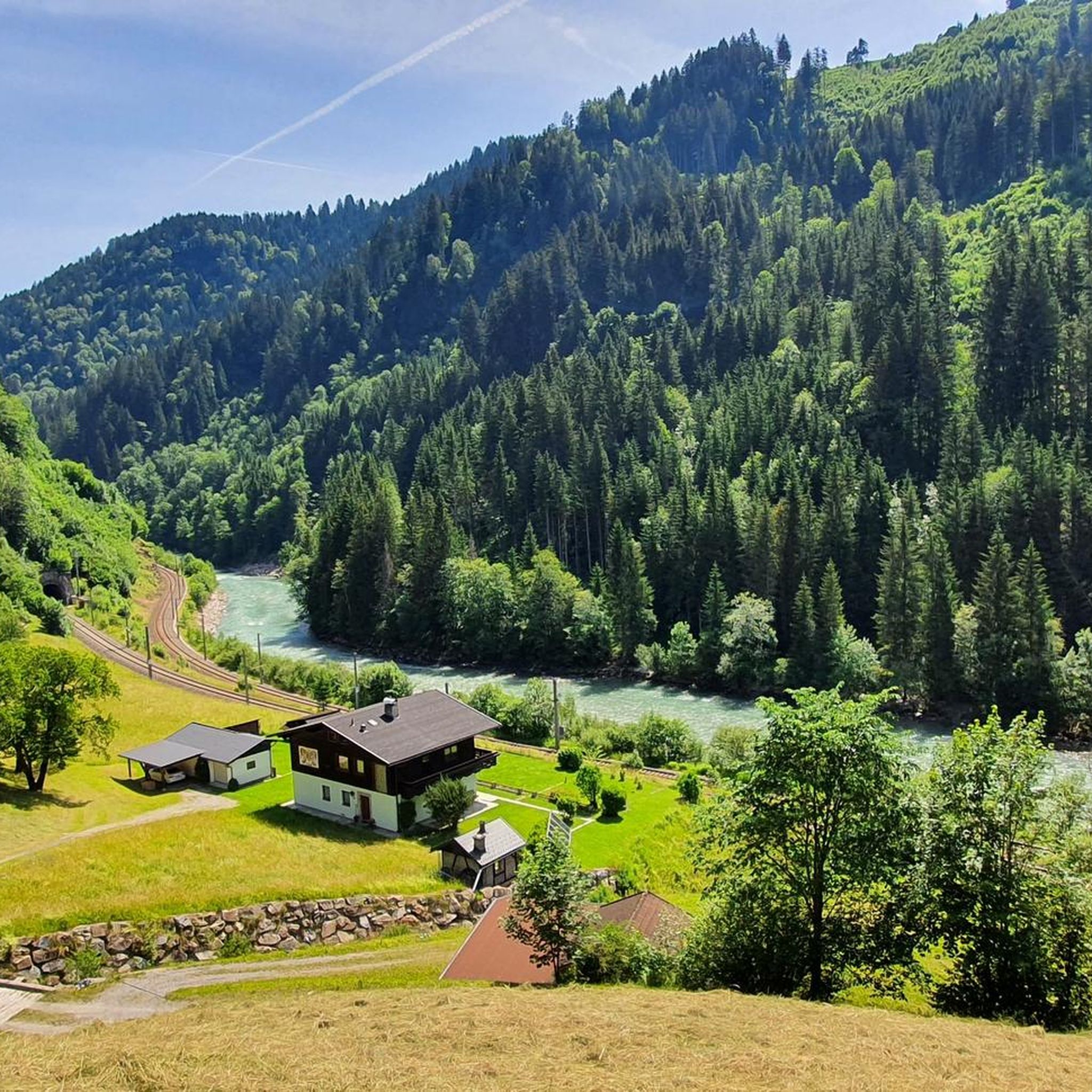
Hiking around Taxenbach
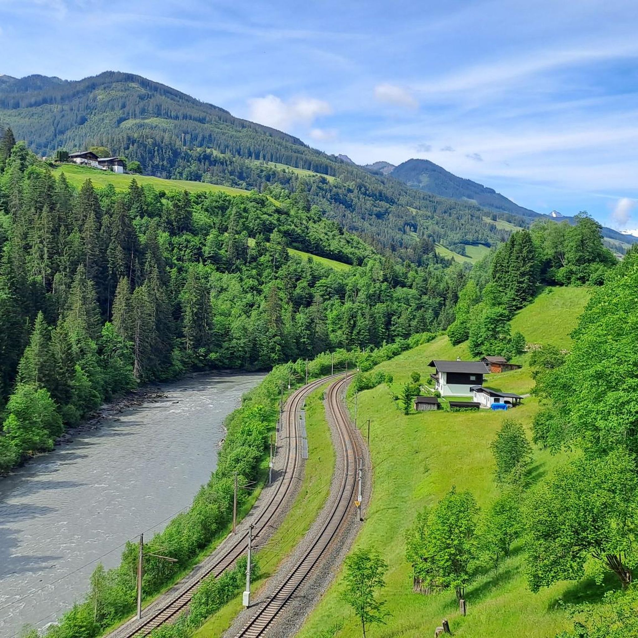
Cycling around Taxenbach
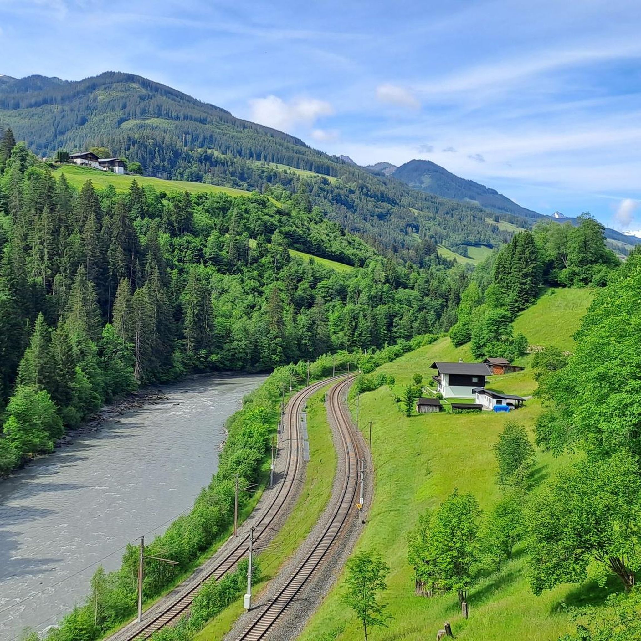
Road Cycling Routes around Taxenbach
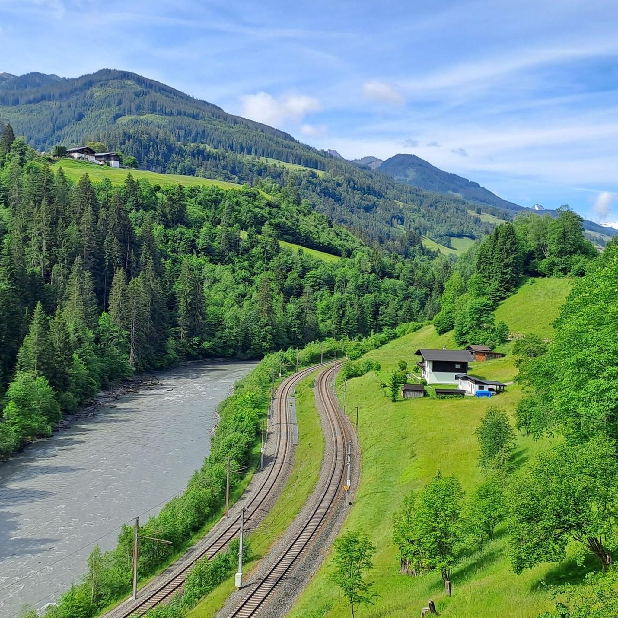
MTB Trails around Taxenbach
Other adventures around Taxenbach


Tips from the Community

Fantastic view after the cable car ride or ascent
0
0

Very beautiful gorge with subsequent hiking possibilities
0
0

Very nice paths and good to walk
0
0

breathtaking waterfall in the Kitzlochklamm
0
0

In good weather and in good shape, this is one of the most beautiful trails in the Rauris Valley, offering perfect panoramic views of the surrounding high mountains. The upper section is comprised of only wonderful, narrow trails lined with a variety of flowers and plants, but also includes some steep sections that are not without their challenges.
1
0


A varied and somewhat strenuous path takes you up to the Schwarzwand. From here you have a sensational view of the mountains.
2
0
Frequently Asked Questions
How many mountaineering routes are available around Taxenbach?
There are over 60 mountaineering routes around Taxenbach, offering a wide range of experiences. You'll find everything from easier paths to very challenging high-alpine tours.
What kind of terrain can I expect on mountaineering routes near Taxenbach?
Mountaineering around Taxenbach offers incredibly diverse terrain. You can expect high alpine landscapes with numerous peaks exceeding 2,000 meters, dramatic gorges like the Kitzlochklamm with waterfalls and natural walkways, and extensive national park areas within the Hohe Tauern National Park.
Are there options for beginners or families looking to go mountaineering?
Yes, Taxenbach offers routes suitable for various ability levels. While many are challenging, there are easier paths available. For example, the moderate tour Marienrast in Kitzlochklamm – Kitzlochklamm Gorge loop from Taxenbach explores the impressive gorge and is a great option for those seeking a less strenuous experience.
Are there challenging mountaineering routes for experienced hikers?
Absolutely. Taxenbach is known for its demanding high-alpine terrain. Experienced mountaineers can tackle routes like the Drei Brüder Ridge Hike loop from Kösslrieß, which is a difficult 16.7 km tour involving significant elevation gain and requiring alpine experience. Another challenging option is the Icy Mountain Lake – Reißrachkopf (2,210 m) loop from Hochalm.
Can I find circular mountaineering routes in Taxenbach?
Many of the mountaineering routes around Taxenbach are designed as loops, allowing you to start and end at the same point. Examples include the challenging Drei Brüder Ridge Hike loop from Kösslrieß and the moderate Marienrast in Kitzlochklamm – Kitzlochklamm Gorge loop from Embach.
Are there any natural attractions or landmarks to see along the routes?
Yes, the region is rich in natural beauty. A major highlight is the Kitzlochklamm Gorge, where the Rauriser Ache river carves through narrow rock formations, creating abundant waterfalls and unique natural walkways. You might also encounter stunning views of Lake Zell or other picturesque alpine lakes like Prinzensee.
Are there mountain huts for refreshments or overnight stays?
Yes, the area around Taxenbach features several alpine huts and mountain pastures where you can stop for refreshments or even an overnight stay. Notable huts include the Erichhütte, Bürglalm, and Zachhofalm, providing a comfortable and authentic alpine experience.
What is the best time of year for mountaineering in Taxenbach?
The best season for mountaineering in Taxenbach is typically from late spring through early autumn (roughly June to September), when the weather is most stable and the high-alpine trails are generally free of snow. Always check local weather and trail conditions before heading out, especially in the shoulder seasons.
What do other mountaineers enjoy the most about mountaineering in Taxenbach?
The mountaineering routes in Taxenbach are highly rated by the komoot community, with an average score of 4.6 stars from over 80 reviews. Users frequently praise the stunning natural beauty, the diversity of the trails, and the impressive landscapes of the Hohe Tauern National Park and the Kitzlochklamm Gorge.
Are there opportunities for guided hikes or tours in the Taxenbach area?
Yes, for those looking to deepen their understanding of the local environment or seeking a guided experience, weekly guided hikes with different difficulty levels and themes are available in the Hohe Tauern National Park. Guided tours are also offered through the Kitzlochklamm gorge, providing insights into its formation and hidden treasures.
Are there any routes that offer panoramic views of the surrounding peaks?
Many routes in the Taxenbach area provide breathtaking panoramic views, especially those reaching higher elevations. The Hohe Tauern Panorama Trail, for instance, is renowned for its vistas of 3000-meter peaks. Routes like Reißrachkopf (2,210 m) – View of Hirschkopf (2250 m) loop from Hochalm offer spectacular high-alpine scenery.
Most popular routes around Taxenbach
Most popular attractions around Taxenbach

Get inspired with the komoot mobile app


Explore more
Browse the best Mountain Hikes & Routes in other regions.
