The best gravel rides around Taxenbach
4.3
(45)
389
riders
16
rides
Gravel biking around Taxenbach offers routes through varied alpine terrain. The region is characterized by river valleys, such as the Salzach, and ascents towards higher alpine pastures and mountain passes. Gravel trails often follow historic paths and forest roads, providing access to elevated viewpoints. The landscape features a mix of forested sections and open areas with panoramic mountain backdrops.
Best gravel bike trails around Taxenbach
- The most popular gravel bike trail is Erlhofplatte Gravel Tour, a 15.6 miles (25.1…
Last updated: July 2, 2026
4.6
(19)
97
riders
25.1km
02:32
750m
750m
Hard gravel ride. Very good fitness required. Mostly paved surfaces. Suitable for all skill levels.
4.8
(13)
133
riders
45.8km
05:11
2,070m
2,070m
Hard gravel ride. Very good fitness required. You may need to push your bike for some segments of this route.

Sign up for free
5.0
(3)
30
riders
45.9km
03:35
1,160m
1,160m
Hard gravel ride. Very good fitness required. Mostly paved surfaces. Suitable for all skill levels.
4.8
(6)
29
riders
39.5km
03:00
1,100m
1,100m
Hard gravel ride. Very good fitness required. Mostly paved surfaces. Suitable for all skill levels.
10
riders
10.5km
01:06
440m
440m
Moderate gravel ride. Good fitness required. Mostly paved surfaces. Suitable for all skill levels.
Get access to more routes and recommendations from other explorers.
Sign up for free
Already have an account?
Our route recommendations are based on thousands of hikes, rides, and runs completed by other people on komoot.
Start today with a free account
Your next adventure awaits.
Login or Signup
Popular around Taxenbach
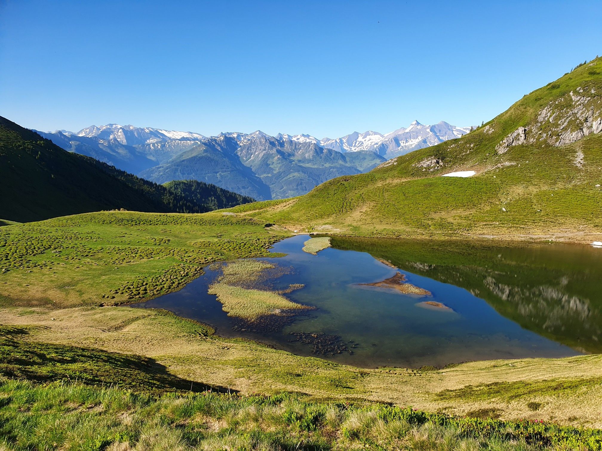
Hohe Tauern Panorama Trail – Face-to-face with 3000-metre peaks

Ruperti Trail – Hike from Austria's Bohemian Forest to the Carnic Alps
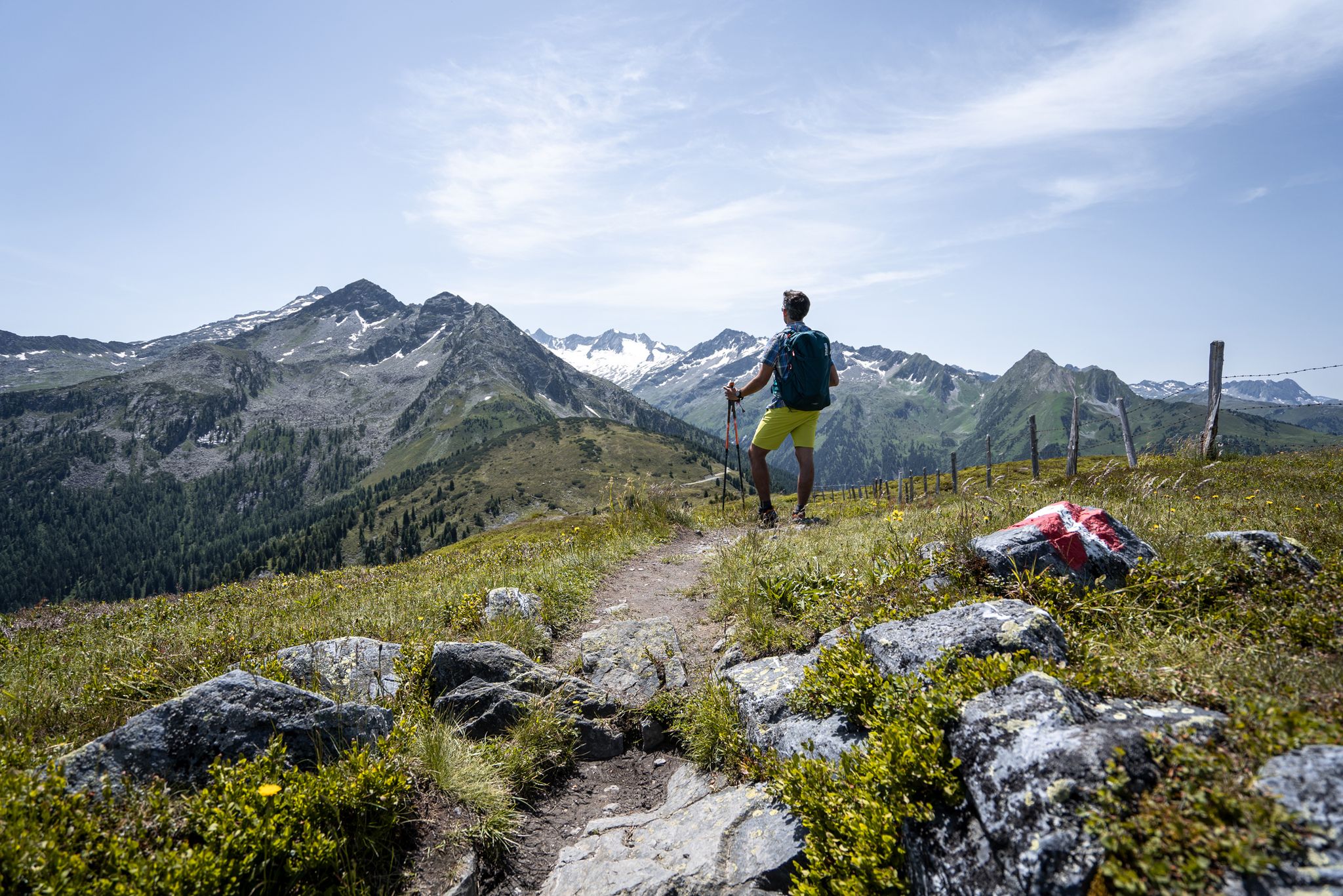
Best views of the highest mountains — Hohe Tauern Panorama Trail

On a voyage of discovery in Austria’s High Tauern National Park
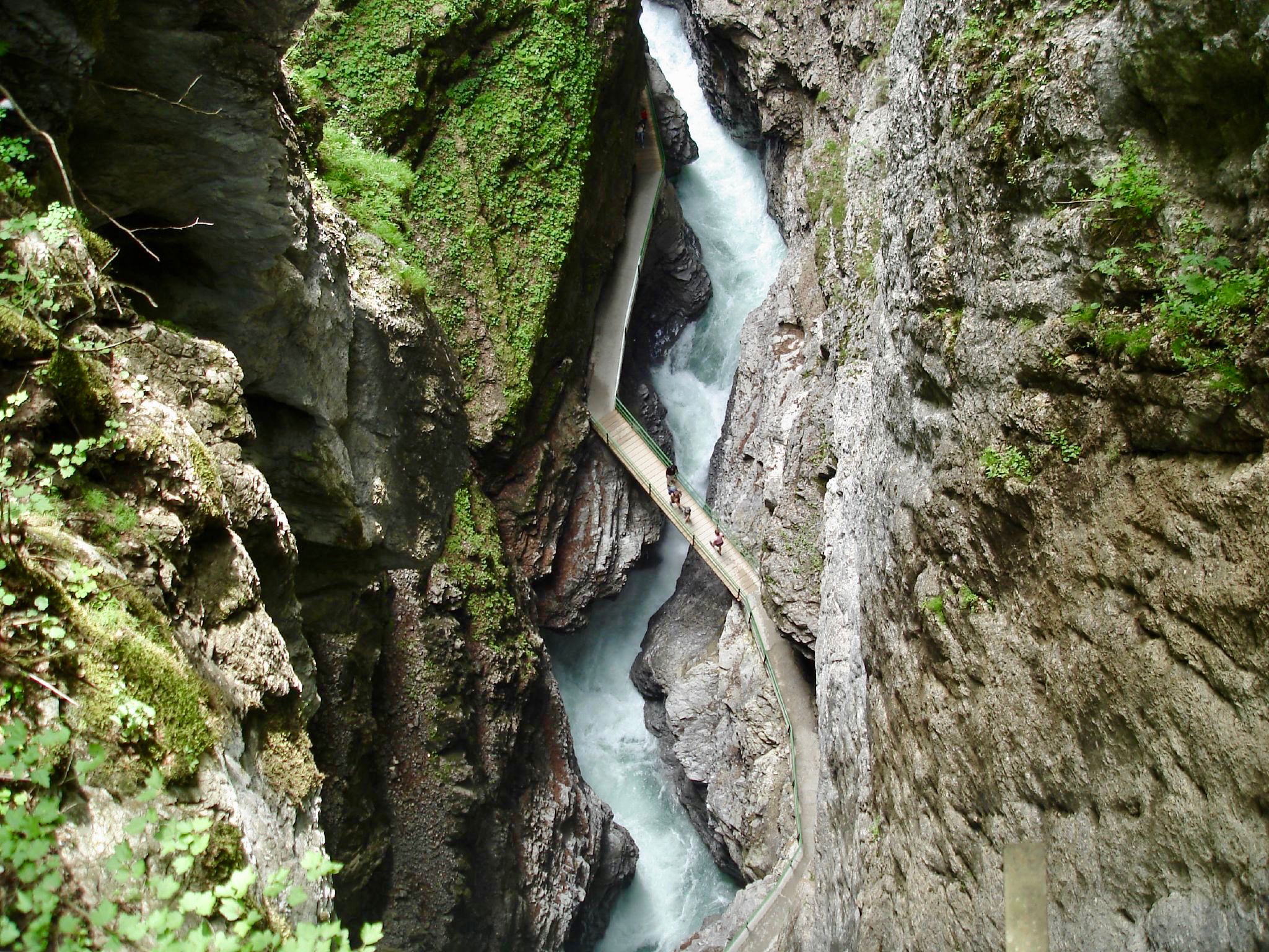
The most beautiful gorges of the Alps
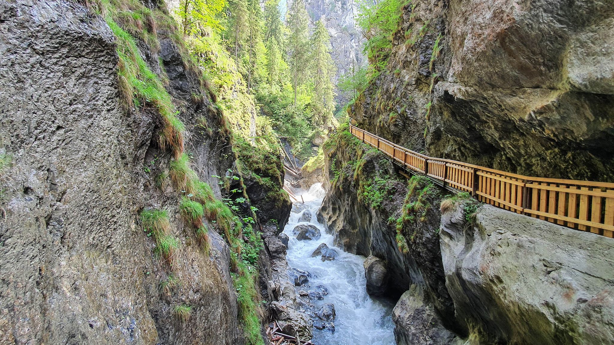
The most beautiful gorges in the Salzburger and Berchtesgadener Land
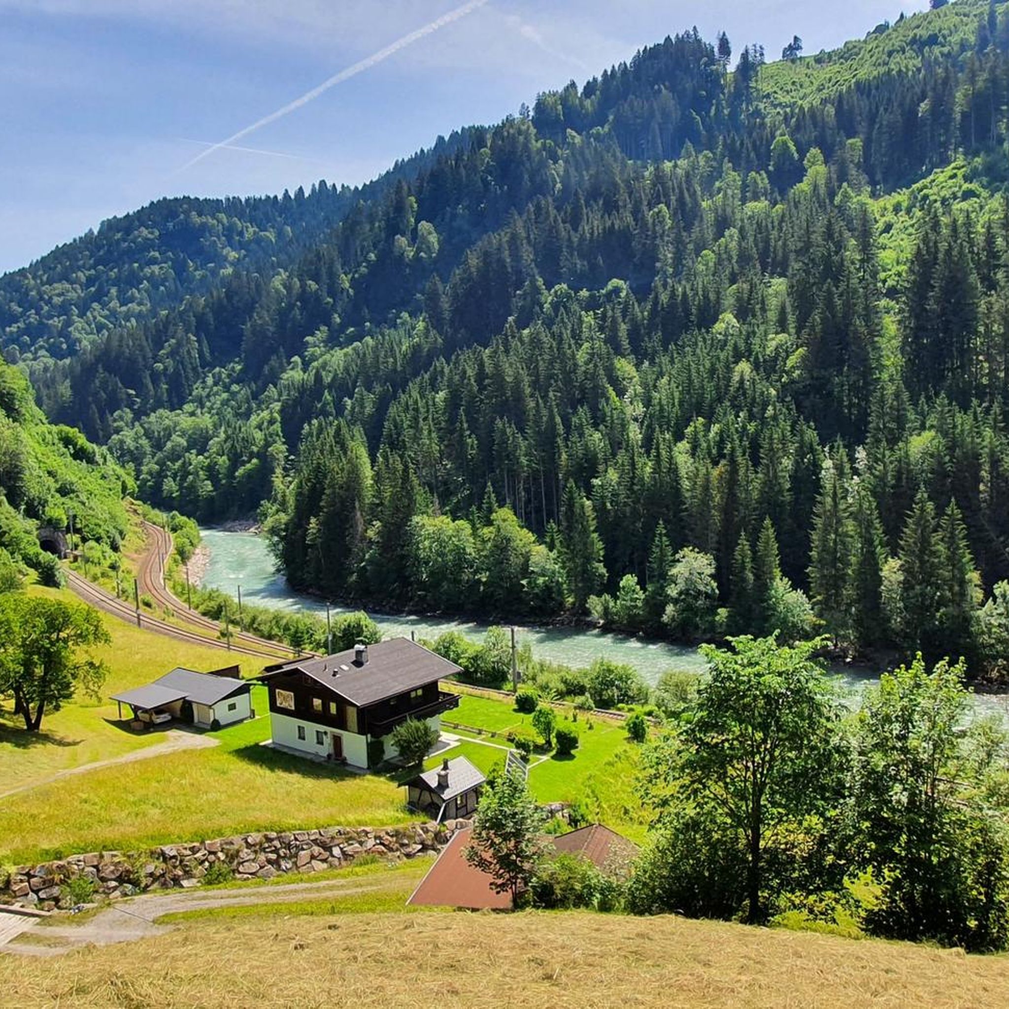
Hiking around Taxenbach
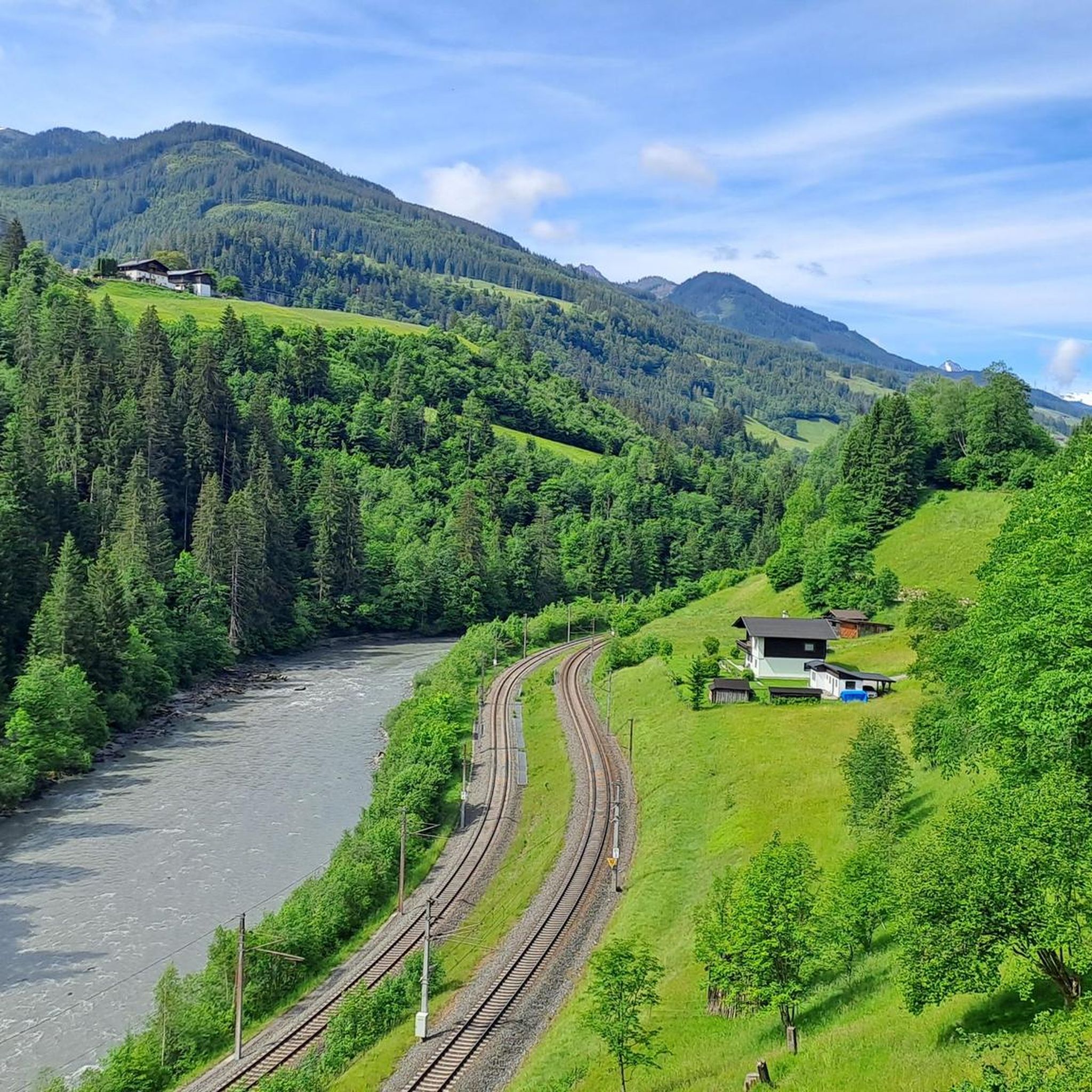
Cycling around Taxenbach
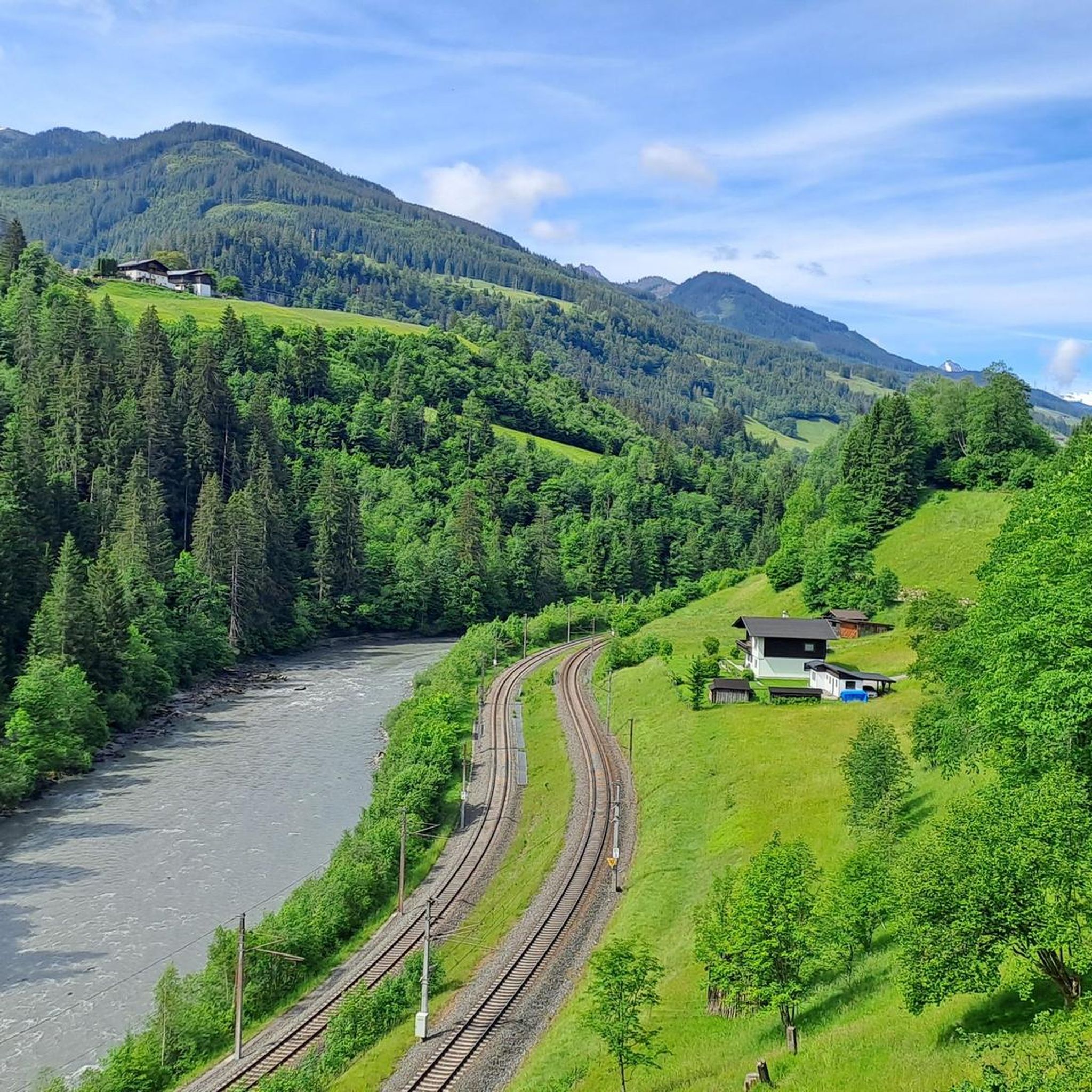
Road Cycling Routes around Taxenbach
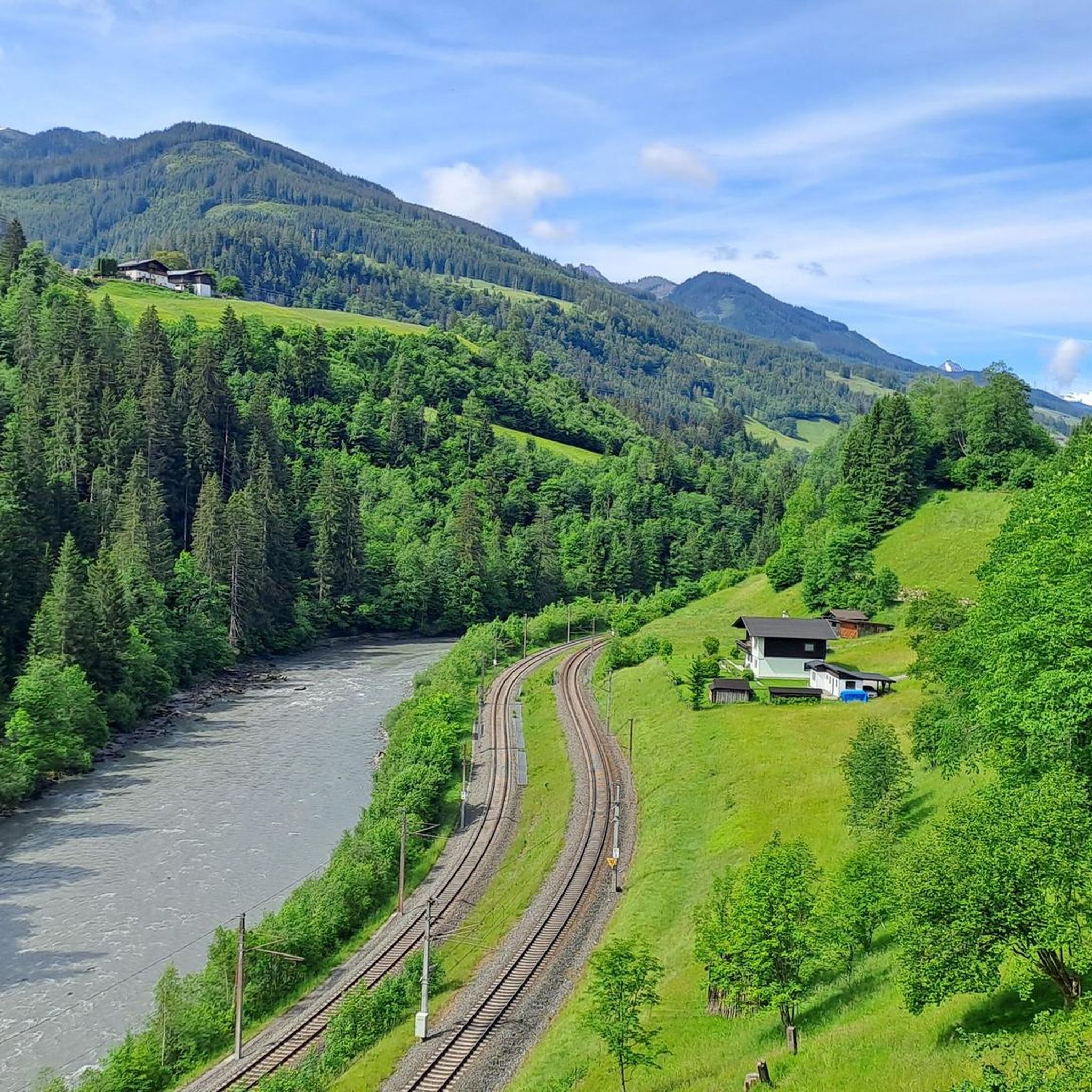
MTB Trails around Taxenbach
Other adventures around Taxenbach


Tips from the Community


Adventurous for children and wonderful
0
0

A very nice bike path
3
0

Great panoramic tour that has a lot to offer and is rewarded with great views.
1
0

Even when the Hochsonnbergalm is closed, it is worth the trip. Bring your own 'Jause' and eat it while enjoying the view.
0
0

Nice entertainment for a short stopover
0
0
Beautiful cycle path along the river
0
0

Great view towards the Kitzsteinhorn.
4
0
Frequently Asked Questions
What are the general difficulty levels for gravel biking around Taxenbach?
Gravel biking in Taxenbach primarily features moderate to difficult routes. The region's terrain, characterized by river valleys and ascents to alpine pastures, means many routes involve significant elevation gain. There are 10 moderate and 17 difficult routes available, with no easy routes listed.
Are there any long-distance gravel biking routes near Taxenbach?
Yes, several routes offer longer distances. For instance, the Magnificent view – Hochtor loop from Fusch an der Großglocknerstraße is a challenging 28.4 miles (45.8 km) path with extensive climbs. Another option is the Hochsonnberg Alm (1,850 m) – Salzach River Cycle Path loop from Bruck-Fusch, which covers 28.6 miles (46.0 km) through alpine pastures and along the Salzach River.
What is the best time of year for gravel biking in Taxenbach?
The best time for gravel biking in Taxenbach is typically from late spring through early autumn. During these months, the alpine passes are generally clear of snow, and the weather is more stable, offering ideal conditions for exploring the river valleys and higher alpine routes. Winter conditions can make many trails impassable or require specialized equipment.
Are there any family-friendly gravel bike trails in Taxenbach?
Given the region's challenging terrain with significant elevation gains, most gravel routes around Taxenbach are classified as moderate to difficult. There are no routes specifically listed as 'easy' that would typically suit young children or beginners. Families with older, experienced riders might find some moderate sections enjoyable, but caution is advised.
Where can I find scenic viewpoints while gravel biking in Taxenbach?
Many routes in Taxenbach offer stunning panoramic views, especially those ascending to higher alpine pastures or along mountain passes. The Magnificent view – Hochtor loop from Fusch an der Großglocknerstraße is particularly known for its scenic vistas along the Großglockner High Alpine Road. Routes through forested sections also often open up to expansive mountain backdrops.
Are there any circular gravel bike trails available in Taxenbach?
Yes, several popular gravel bike routes in the area are designed as loops. Examples include the Hochsonnberg Alm (1,850 m) – Salzach River Cycle Path loop from Bruck-Fusch and the North Shore of Zell am See – Salzach River Cycle Path loop from Zell am See. These circular routes allow you to start and end at the same point without retracing your path.
What kind of natural attractions can I see along gravel bike routes near Taxenbach?
The region around Taxenbach is rich in natural beauty. You can explore impressive gorges like the Kitzlochklamm Gorge, which is also a natural monument. Other highlights include the Zeller See, a protected lake area, and the Plettsaukopf Reservoir. Some routes, like the Waterfall in Salzburg – Grossglockner High Alpine Road loop from Bruck-Fusch, even pass by waterfalls.
What do other gravel bikers enjoy most about the trails in Taxenbach?
The komoot community highly rates the gravel biking experience in Taxenbach, with an average score of 4.2 stars from over 50 reviews. Riders often praise the varied alpine terrain, the challenging climbs leading to rewarding views, and the mix of forested sections and open areas with panoramic mountain backdrops. The network of trails, often following historic paths and forest roads, is also a highlight.
Are there any specific routes recommended for advanced gravel bikers looking for a challenge?
Advanced gravel bikers will find plenty of challenging options. The Erlhofplatte Gravel Tour is a difficult 15.6-mile (25.1 km) route with significant elevation gain through forested areas. Another demanding option is the Magnificent view – Hochtor loop from Fusch an der Großglocknerstraße, which features extensive climbs and covers 28.4 miles (45.8 km).
What kind of terrain can I expect on gravel bike trails around Taxenbach?
The terrain around Taxenbach is diverse, featuring river valleys like the Salzach, ascents towards higher alpine pastures, and mountain passes. Gravel trails often follow historic paths and forest roads, providing a mix of surfaces. You can expect sections through dense forests and open areas that offer panoramic mountain views, with many routes involving considerable climbing.
Are there any routes that pass by lakes or reservoirs?
Yes, some routes offer views of or pass near local water bodies. For example, the North Shore of Zell am See – Salzach River Cycle Path loop from Zell am See takes you near the Zeller See. The Plettsaukopf Reservoir is another notable water feature in the area that might be accessible or visible from certain trails.
Most popular routes around Taxenbach
Most popular attractions around Taxenbach

Get inspired with the komoot mobile app


Explore more
Browse the best Gravel rides in other regions.
