The best cycling routes around Cannon Falls
4.7
(32)
208
riders
6
rides
Touring cycling around Cannon Falls features a diverse landscape shaped by the Cannon River valley, offering bluffs, prairies, forests, marshland, and farmland. The region is known for its well-maintained rail-to-trail paths, including the Cannon Valley Trail, which provides a gradual elevation change. Cyclists can explore scenic river views and interconnected trails that extend to nearby lakes and towns. The terrain provides a mix of paved surfaces and natural surroundings.
Best touring cycling routes around Cannon Falls
- The most popular touring…
Last updated: September 28, 2026
4.9
(12)
66
riders
47.2km
02:47
300m
300m
Moderate bike ride. Good fitness required. Mostly paved surfaces. Suitable for all skill levels.
4.9
(11)
62
riders
Moderate bike ride. Good fitness required. Mostly paved surfaces. Suitable for all skill levels.

5.0
(5)
57
riders
49.2km
02:57
340m
340m
Moderate bike ride. Good fitness required. Mostly paved surfaces. Suitable for all skill levels.
4.5
(2)
10
riders
12.8km
00:49
80m
80m
Easy bike ride. Great for any fitness level. Mostly paved surfaces. Suitable for all skill levels.
4.0
(1)
8
riders
11.0km
00:41
60m
60m
Easy bike ride. Great for any fitness level. Mostly paved surfaces. Suitable for all skill levels.
Our route recommendations are based on thousands of hikes, rides, and runs completed by other people on komoot.
Start today with a free account
Your next adventure awaits.
Popular around Cannon Falls

Tips from the Community

Nice to look at the ski hill in the summer, it's so quiet when it's not ski season. Although it used to be loud when they were running the lifts for mountain biking.
0
0
The river is pretty fast here, which can make launching in a group a bit tricky, but you'll catch up again as you go down the river.
0
0
There are several places to stop and admire the cliffs on the campground side of the lake.
0
0
Barely any water coming over the dam tonight. Still then it's interesting to see what the rocks and plants look like when they don't have water crashing over them.
0
0
I haven't been in the fairgrounds, but they were setting up today, looks like fun!
2
0
Tonight I could have jumped in the water, high 90's, high humidity! Lots of people having fun.
2
0
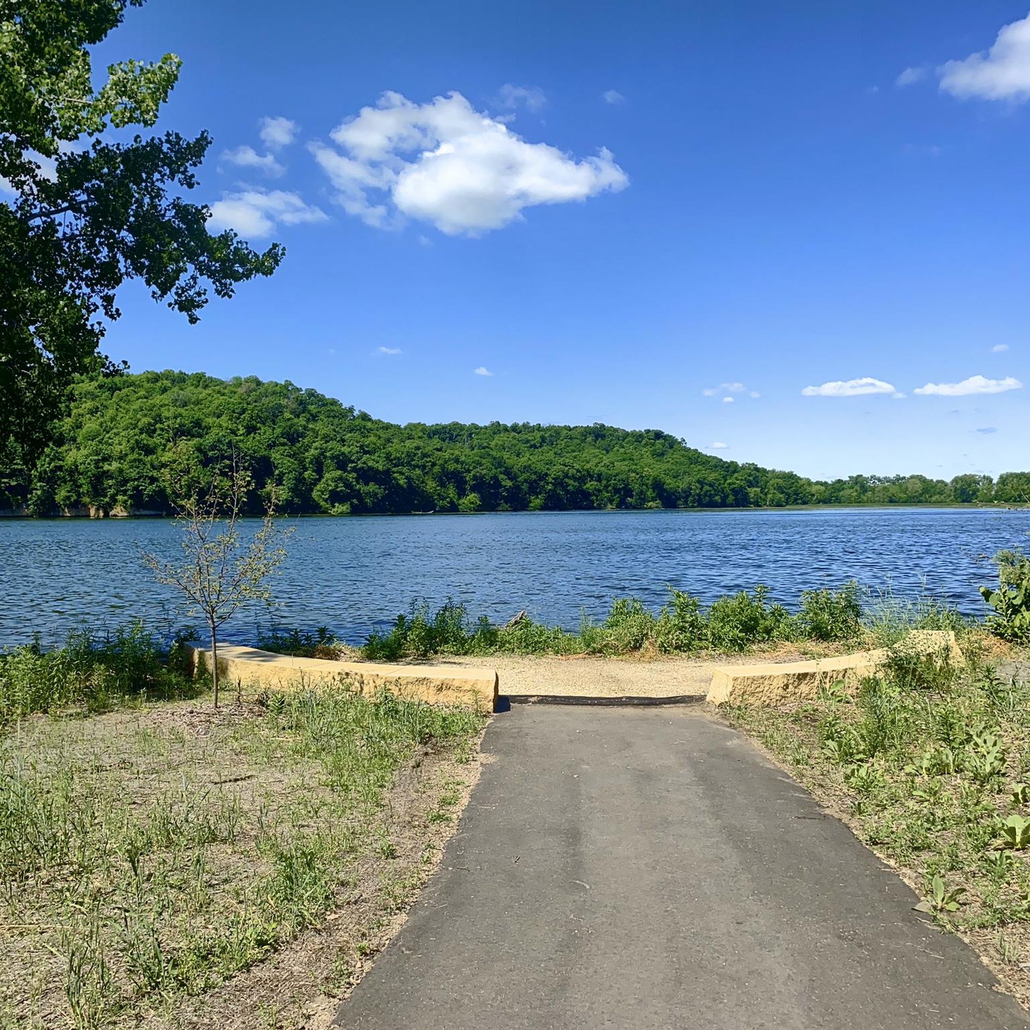
Nice new picnic shelter and restrooms, boat launch, playground, and beach. As well as connecting bike trails to see the dam, get over to the other county's park with a campground, and take a trail into Cannon Falls that joins up with the Cannon Valley Trail to Red Wing.
2
0
Frequently Asked Questions
How many touring cycling routes are available in Cannon Falls?
There are over 5 touring cycling routes around Cannon Falls, offering a variety of distances and difficulties for different preferences. These routes are highly rated by the komoot community, with an average score of 4.7 stars.
What kind of terrain can I expect on touring cycling routes around Cannon Falls?
The terrain around Cannon Falls is quite diverse, featuring bluffs, prairies, forests, marshland, and farmland, all shaped by the Cannon River valley. Many routes utilize well-maintained paved rail-to-trail paths, such as the Cannon Valley Trail, which offers a gradual elevation change, making for a comfortable ride.
Are there any long-distance touring cycling options connecting to other areas?
Yes, the Cannon Valley Trail is a key connection. It links Cannon Falls to Welch and Red Wing. In downtown Cannon Falls, it also meets the Mill Towns Trail, which extends to Lake Byllesby, and further connects with the Goodhue Pioneer Trail to the east, providing extensive options for longer rides.
Are there any circular touring cycling routes in Cannon Falls?
Yes, several routes offer a loop experience. For example, the Lake Byllesby Dam – Lake Byllesby loop from Cannon Falls is a popular 7.7-mile option, and the Anderson Memorial Rest Area loop from Cannon Falls is another easy 8.4-mile circular route.
What natural attractions can I see while cycling in Cannon Falls?
You can enjoy the scenic Cannon River, which runs through the area, and even spot the serene Cannon River Falls (waterfall) in Riverside Park. Lake Byllesby, the largest lake in southern Dakota County, is also accessible, offering beautiful views and recreational opportunities. Many routes traverse diverse landscapes including bluffs, valleys, prairies, and forests.
Are there any historical or notable landmarks along the cycling routes?
Yes, you can encounter several points of interest. The Lake Byllesby Dam, built in 1910, offers dramatic views. Cyclists can also pass by the M80 - Train Wreck Site, a historical spot. The Anderson Memorial Rest Area is another notable point often included in routes.
Is a wheel pass required to cycle on the Cannon Valley Trail?
Yes, a wheel pass is required for adults aged 18 and over to cycle on the Cannon Valley Trail from April to November. For more details on obtaining a pass, you can visit the official Cannon Falls website: cannonfallsmn.gov.
Are there family-friendly touring cycling routes suitable for children?
Absolutely. Many of the routes around Cannon Falls are considered easy, making them suitable for families. The well-maintained, paved rail-to-trail paths, like sections of the Cannon Valley Trail, offer a safe and enjoyable experience for cyclists of all ages. Routes around Lake Byllesby are also generally flat and accessible.
Can I bring my dog on the cycling trails?
The Cannon Valley Trail is generally dog-friendly, allowing leashed dogs. However, it's always a good idea to check specific trail regulations or park rules for any updates or restrictions before heading out with your furry companion.
What are the parking options for cyclists in Cannon Falls?
Convenient access points with parking are available. A popular spot is in downtown Cannon Falls on Highway 19, and various city parks also offer connections and parking for the trail system. The Anderson Memorial Rest Area is also a common starting point with parking facilities.
When is the best time of year for touring cycling in Cannon Falls?
The trails are open year-round for bicycling, but the spring, summer, and fall seasons offer particularly pleasant conditions with vibrant displays of nature's seasonal changes. Fall is especially beautiful with the changing leaves. Even in winter, the trails can be used, though conditions may vary.
What do other touring cyclists enjoy most about cycling in Cannon Falls?
The area is highly rated by the komoot community, with an average score of 4.7 stars from over 300 touring cyclists. Reviewers often praise the diverse and spectacular scenery along the Cannon Valley Trail, the well-maintained paved paths, and the blend of river views, bluffs, prairies, and forests.
Most popular routes around Cannon Falls
Most popular attractions around Cannon Falls

Get inspired with the komoot mobile app


Explore more
Browse the best Cycling routes in other regions.
