The best running trails around Woodland
4.5
(2)
414
runners
51
runs
Jogging around Woodland, Washington, offers a compelling mix of natural beauty and dedicated spaces. The region is characterized by diverse ecosystems, including dense conifer forests and riparian woodlands, providing shaded routes and a refreshing environment for runners. Woodland's parks, such as Horseshoe Lake Park, feature well-maintained paths amidst natural beauty, while its position as the "Southern Gateway to Mount St. Helens" provides access to more varied terrain for adventurous trail runners. The area's landscapes offer both accessible paved paths and…
Last updated: June 29, 2026
20
runners
7.76km
00:48
30m
30m
Moderate run. Good fitness required. Mostly paved surfaces. Suitable for all skill levels.
13
runners
24.8km
02:34
100m
100m
Hard run. Very good fitness required. Mostly paved surfaces. Suitable for all skill levels.

Sign up for free
13
runners
7.54km
00:47
30m
30m
Moderate run. Good fitness required. Mostly paved surfaces. Suitable for all skill levels.
13
runners
Moderate run. Good fitness required. Mostly paved surfaces. Suitable for all skill levels.
6
runners
5.66km
00:36
30m
30m
Moderate run. Good fitness required. Mostly paved surfaces. Suitable for all skill levels.
Get access to more routes and recommendations from other explorers.
Sign up for free
Already have an account?
Our route recommendations are based on thousands of hikes, rides, and runs completed by other people on komoot.
Start today with a free account
Your next adventure awaits.
Login or Signup
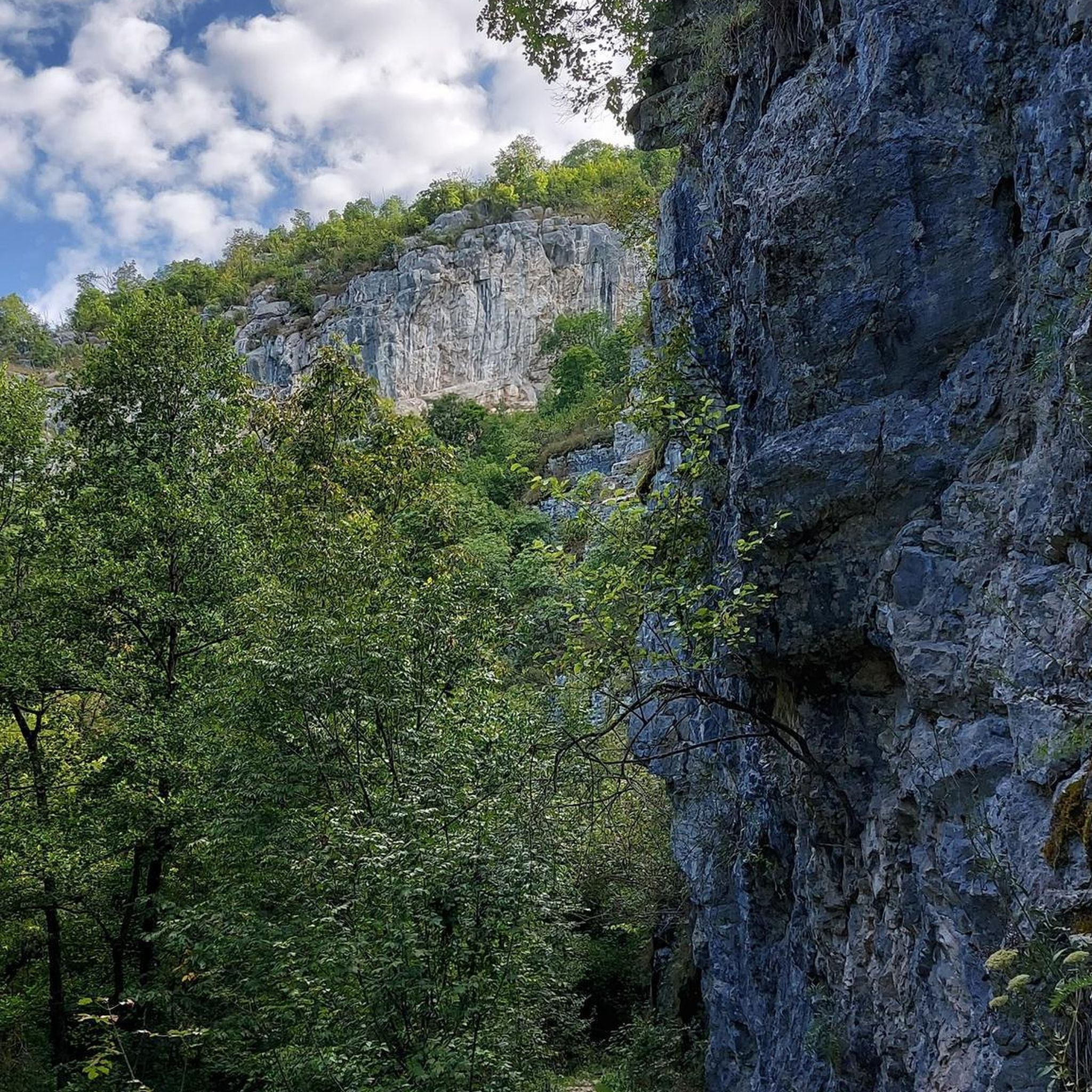
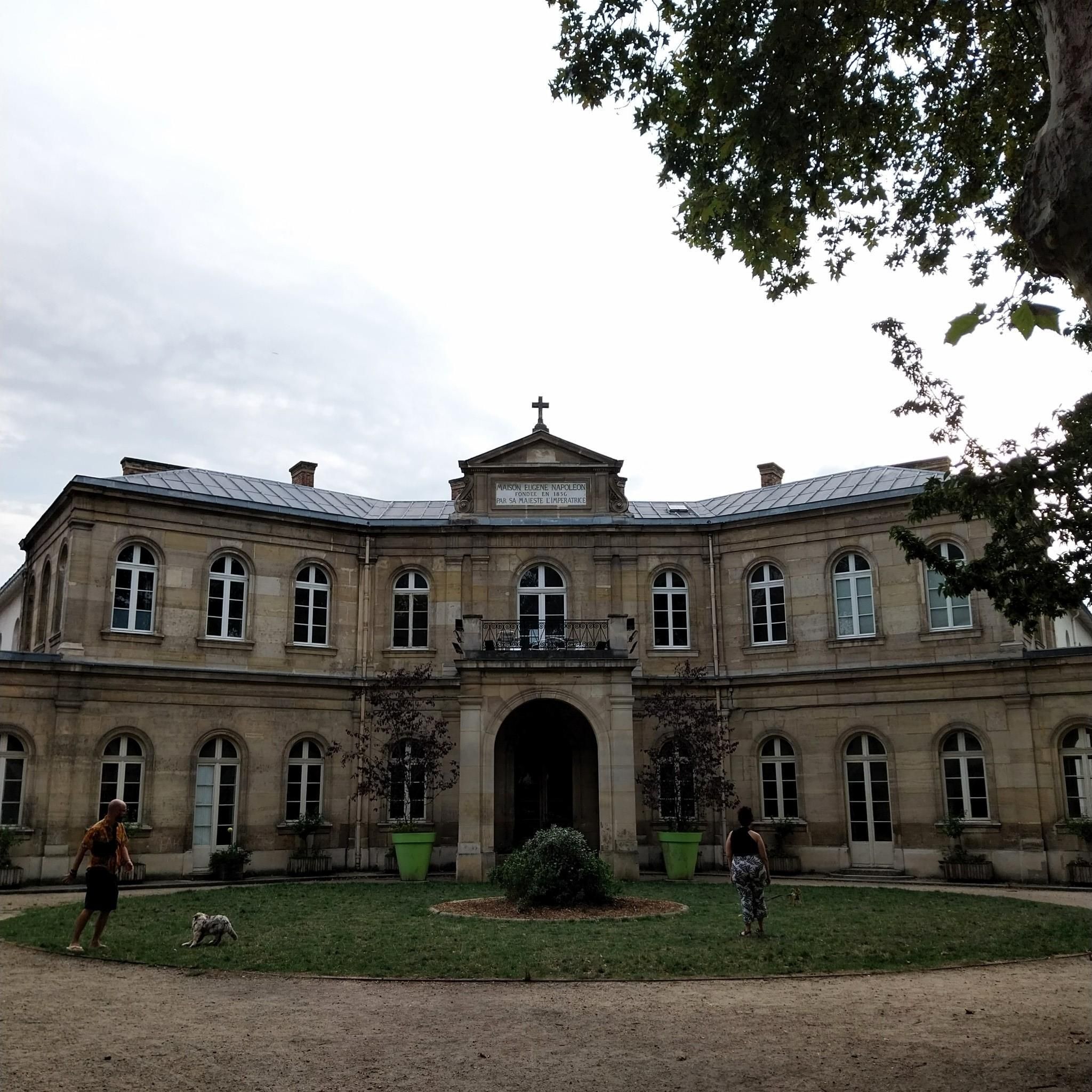
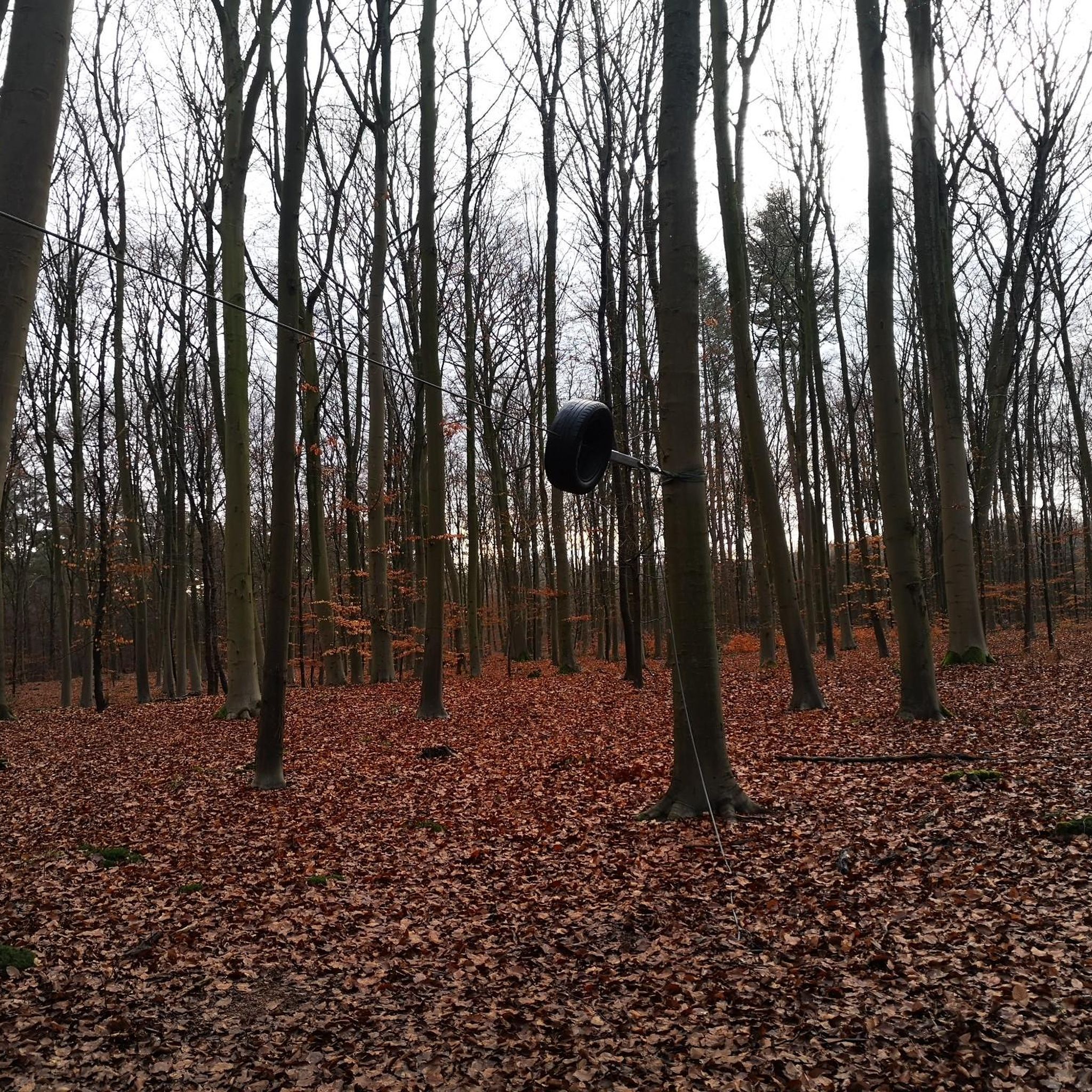
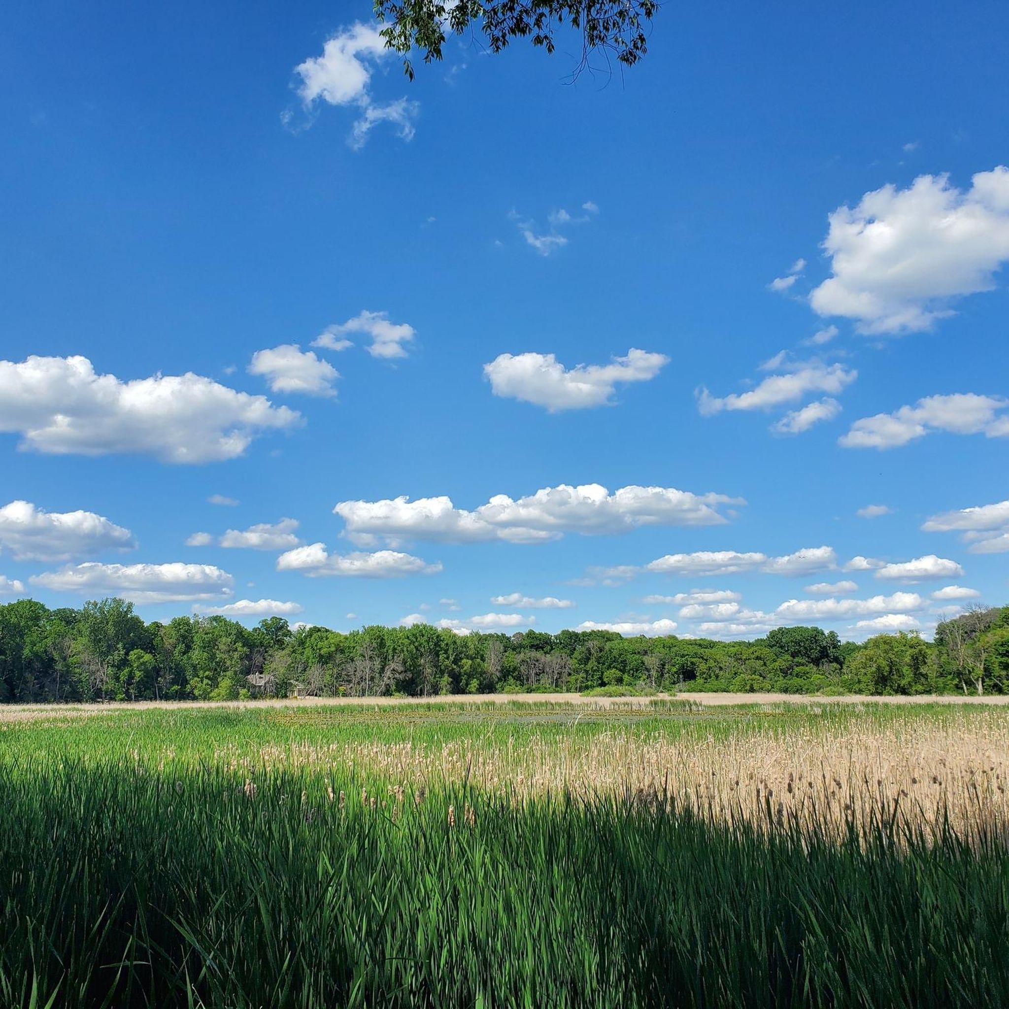

Tips from the Community

Great place to stop for a quick beer, it was there several year birthday today!
0
0

Tamarack Lake is just off the side of the Lake Minnetonka Regional Trail. It's sort of hidden behind some trees and below some cliffs, but you can catch a glimpse if you look for it.
0
0

This short bridge on the Lake Minnetonka Regional Trail give you great views of Saint Albans Bay. It is purpose built for trail users and set apart from the road traffic bridge.
0
0
Lake Minnetonka is one of Minnesota's most well known lakes, which is quite the feat for a state know as "The Land of 10,000 Lakes". It was formed roughly 10,000 years ago at the end of the last ice age, and it has been inhabited ever since. The name derives from the Dakota language and means “the-water-they-speak-of-is-large”. Which is fitting since it covers an area of 14,528 acres.
1
0

The St. Albans Bay Bridge carries Minnetonka Boulevard over St. Albans Bay, an inlet of Lake Minnetonka, connecting the cities of Excelsior and Greenwood in Minnesota. From the bridge you get great views over the bay, making it a pleasant place to stop and take in the views as you ride around the area.
1
0

The Dakota Rail Regional Trail stretches 28.1 miles from Wayzata to Lester Prairie, Minnesota, along the former Hutchinson Spur of the Great Northern Railway. This paved trail is popular with bikers, skaters, and hikers, offering a look at lakes, wetlands, woodlands, and farmlands. Starting in Wayzata, you can park at the trailhead on Grove Lane and grab a bite or fill up water downtown. The Carver County section extends an additional 12.5 miles west of St. Bonifacius to Mayer. Maps along the trail show your location, restrooms, and nearby services, with parking available at several locations.
0
0
Carver Park is the perfect spot for river recreation on the Clackamas River. It sits where Clear Creek meets the Clackamas, just off Springwater Road in Carver. This expansive park is home to the Lowry Nature Center, Grimm Farm Historic Site, and King Waterbird Sanctuary, with opportunities to spot wildlife like trumpeter swans, osprey, and white-tailed deer. Open from 5 AM to 10 PM daily, the park's highlights are winding trails, interconnected lakes, and marshes, as well as a campground, picnic areas with barbecue grills, and a dog park, making it great for visiting year-round. Check out Monarch Singletrack Trail, which has over 14 miles of trails for all skill levels of off pavement riding.
0
0
Frequently Asked Questions
How many running routes are available in Woodland, California?
Woodland offers a wide selection of running routes, with over 35 options available for you to explore. These routes cater to various fitness levels, from easy jogs to more challenging runs.
What kind of terrain can I expect on jogging trails in Woodland?
You can expect generally flat terrain, which makes for an accessible and less strenuous running experience. Routes often feature extensive green belts, mature woodlands, and riparian forests, providing a scenic and natural backdrop for your run.
Are there running routes suitable for beginners in Woodland?
Yes, Woodland has several easy running routes perfect for beginners. For instance, the Running loop from Minnetonka Hs is an easy option, covering about 4.7 kilometers. Many city parks also offer gentle, paved paths ideal for those starting out.
Are there any circular running routes in Woodland?
Yes, many of Woodland's running paths are designed as loops, offering convenient circular routes. Examples include the Running loop from Minnetonka Hs and the Running loop from St Philip Park & Ride, which provide varied distances and scenery.
Can I find family-friendly jogging routes in Woodland?
Absolutely. Woodland's flat terrain and numerous city parks make it ideal for family-friendly jogging. Many parks, like the historic City Park, offer accessible paths suitable for all ages. The Woodland Regional Park Preserve also features a half-mile ADA accessible nature trail, perfect for a leisurely family run.
Are there any scenic jogging trails with viewpoints or natural attractions?
Woodland's green belts and natural areas provide plenty of scenic spots. While not traditional viewpoints, routes often pass through woodlands and along green corridors. You might also enjoy running near natural features like the Ferndale Marsh or crossing the St. Albans Bay Bridge on routes like the St. Albans Bay Bridge – Excelsior Brewing loop from Shorewood.
What do other runners enjoy most about jogging in Woodland?
The running routes in Woodland are highly rated by the komoot community, with an average score of 4.5 stars. Runners often praise the accessible flat terrain, the extensive green spaces, and the natural beauty of the woodlands and parks that provide a refreshing escape within the city.
Are there any longer, more challenging running routes in Woodland?
Yes, for those seeking a greater challenge, Woodland offers several longer and more difficult routes. The Bederwood Park loop from St Philip Park & Ride is a difficult 22.6-kilometer route, while the Running loop from Tonkawood Rd is a moderate 14.5-kilometer option.
Where can I find more information about Woodland's parks and green spaces?
For more details on Woodland's extensive park system and green spaces, you can visit the official City of Woodland website. They provide information on over 414 acres of parks and recreation facilities, including the Woodland Regional Park Preserve and other community parks. You can also explore the Parks section of their website.
Are there any trails that connect to larger regional trail systems?
Yes, Woodland's green belts and parkways, such as the Bannon Creek Parkway, often connect to or are part of larger networks. The American River Parkway (Jedediah Smith Memorial Trail) is also accessible nearby, offering extensive running opportunities along the Sacramento River.
What is the best time of year for jogging in Woodland?
Woodland's climate generally allows for year-round jogging. Spring and fall offer particularly pleasant temperatures for outdoor activities. Even in winter, the flat terrain and accessible paths remain viable options, though you should always check local weather conditions.
Most popular attractions around Woodland

Get inspired with the komoot mobile app


Explore more
Browse the best Running Trails & Routes in other regions.
