The best road cycling routes around Woodland
4.7
(23)
1,354
riders
123
rides
Road cycling routes around Woodland, California, traverse a largely flat landscape characterized by extensive agricultural fields and country roads. The region features riparian corridors along waterways, often lined with oak trees, providing scenic routes. While the terrain is predominantly flat, some areas offer gentle elevation changes for varied experiences.
Best road cycling routes around Woodland
- The most popular road cycling route is Cedar Lake – Brownie Lake loop from Wayzata, a 25.0 miles (40.3 km) trail that takes 1…
Last updated: June 29, 2026
5.0
(3)
28
riders
39.8km
01:49
170m
170m
Moderate road ride. Great for any fitness level. Some segments of this route may be unpaved and difficult to ride.
18
riders
48.4km
02:24
280m
280m
Moderate road ride. Good fitness required. Some segments of this route may be unpaved and difficult to ride.

Sign up for free
13
riders
61.5km
02:34
350m
350m
Moderate road ride. Good fitness required. Mostly well-paved surfaces and easy to ride.
16
riders
43.3km
02:11
180m
180m
Moderate road ride. Good fitness required. Some segments of this route may be unpaved and difficult to ride.
10
riders
58.2km
02:32
360m
360m
Moderate road ride. Good fitness required. Some segments of this route may be unpaved and difficult to ride.
Get access to more routes and recommendations from other explorers.
Sign up for free
Already have an account?
Our route recommendations are based on thousands of hikes, rides, and runs completed by other people on komoot.
Start today with a free account
Your next adventure awaits.
Login or Signup
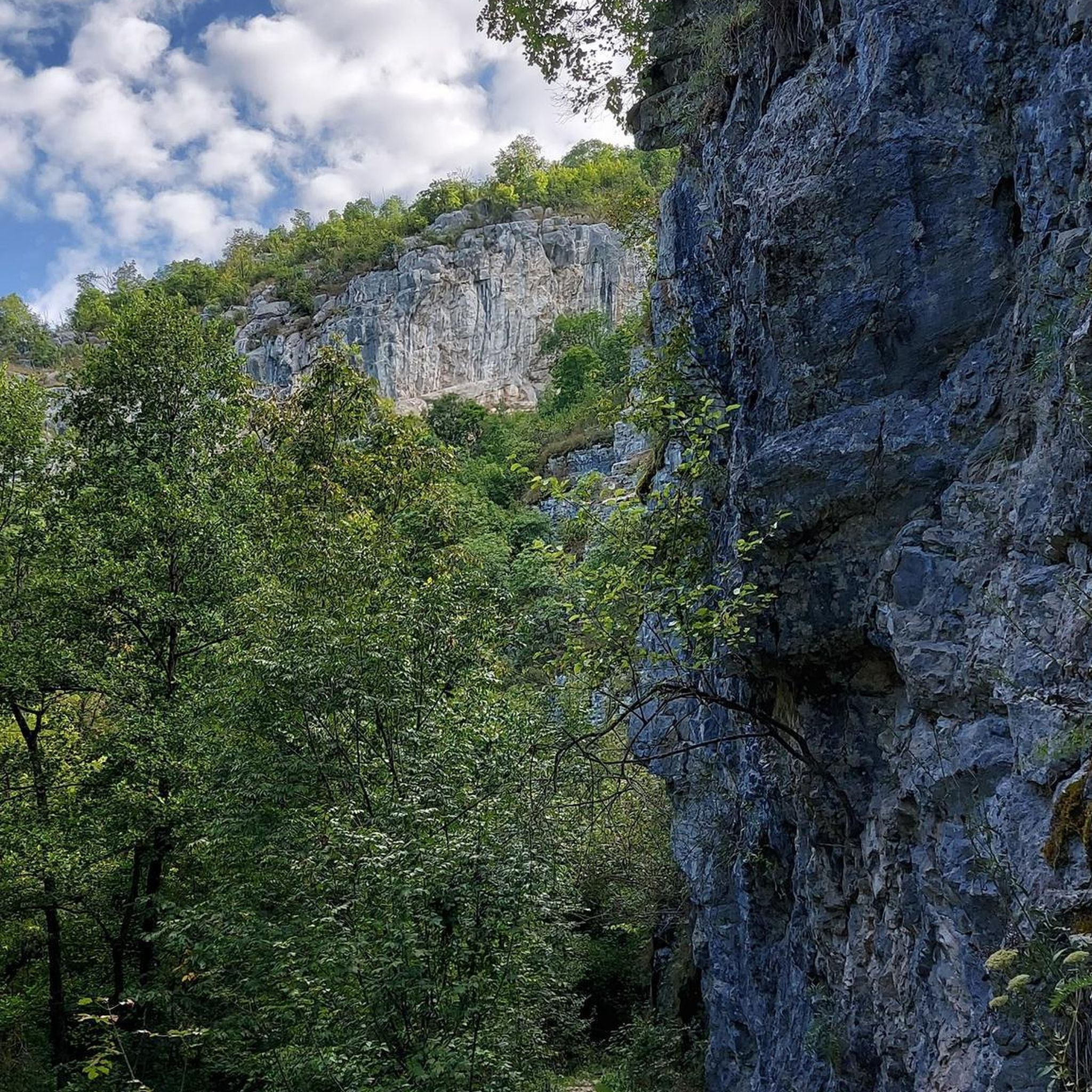
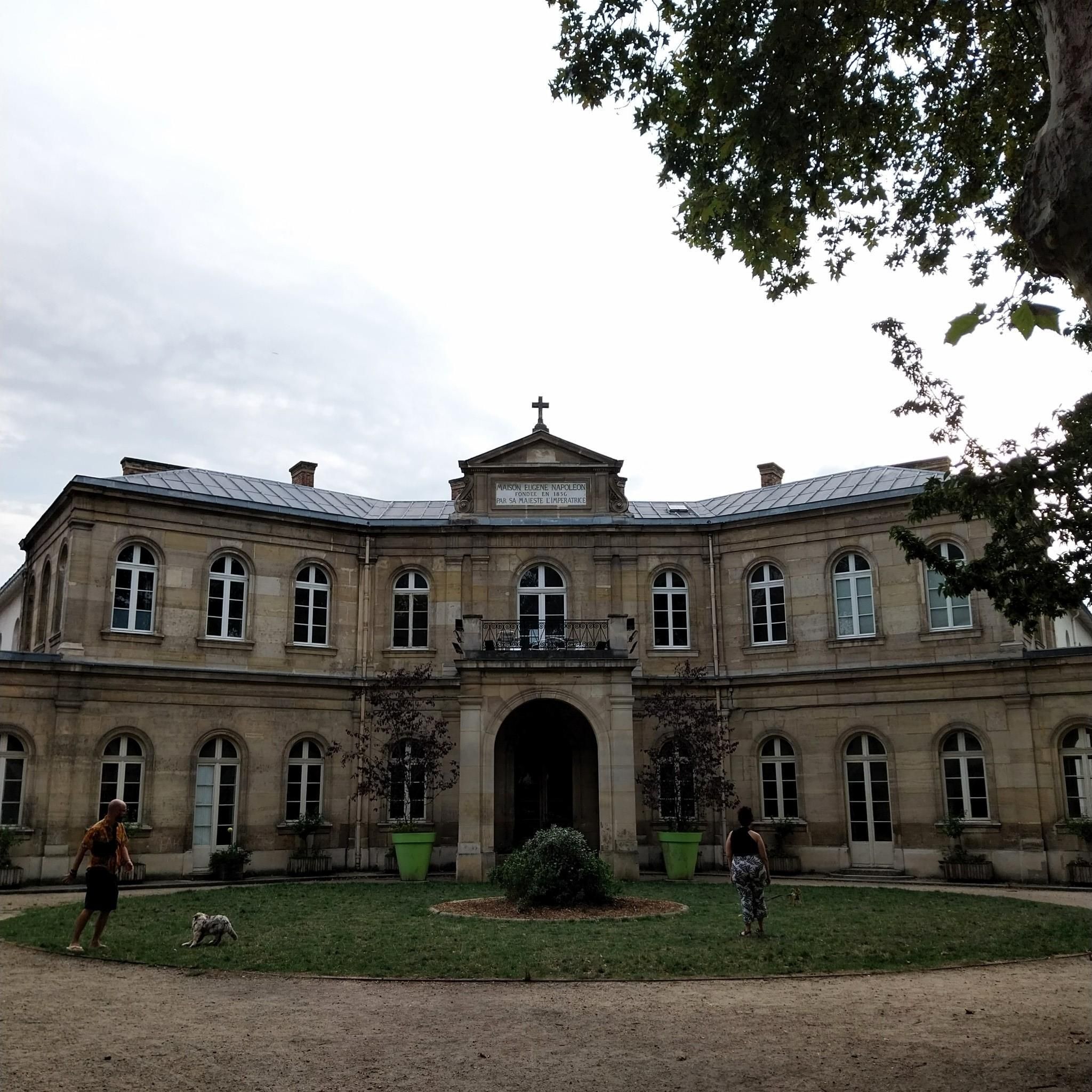
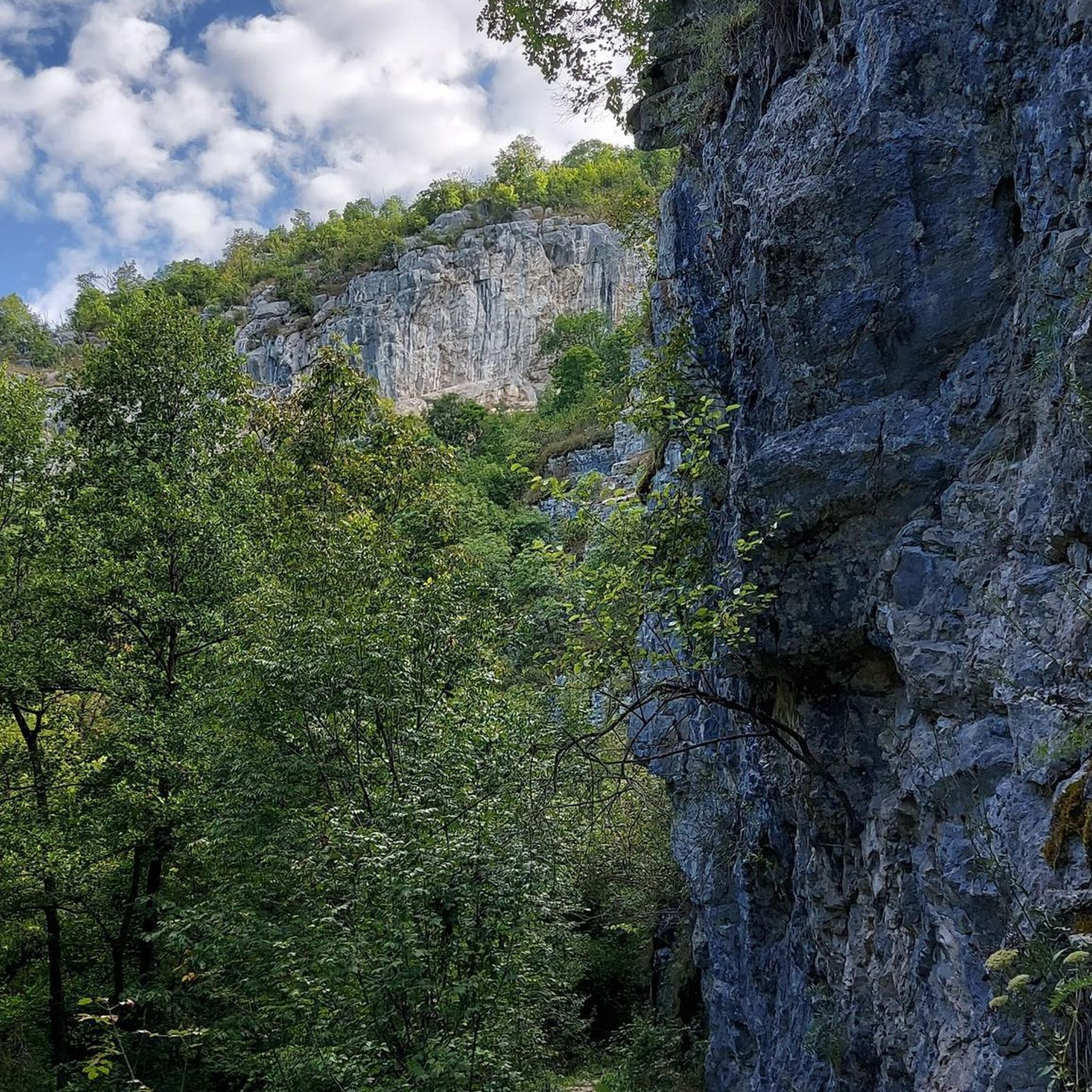
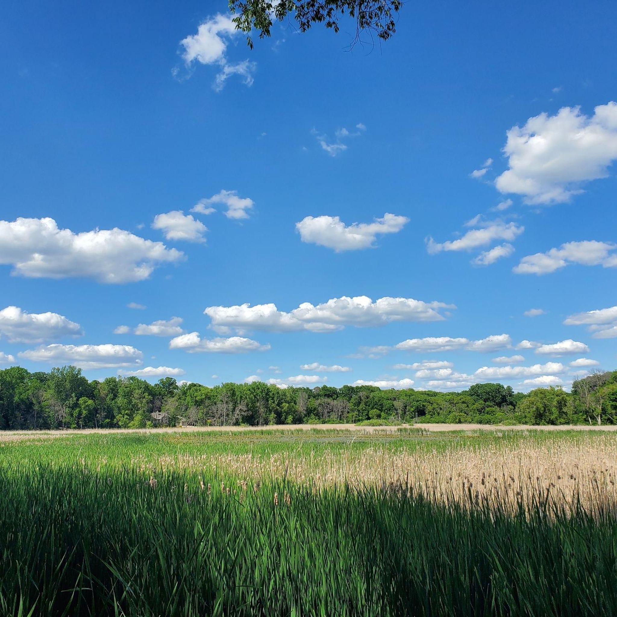

Tips from the Community


This secluded beach looks perfect for a summer break. Bring your swimsuit!
0
0
This one also lets a small creek go under the road
0
0
What a nice new park, I'm guessing this was built or renovated recently.
0
0

This short bridge on the Lake Minnetonka Regional Trail give you great views of Saint Albans Bay. It is purpose built for trail users and set apart from the road traffic bridge.
0
0

The Luce Line Regional Trail seamlessly connects the city to the Minnesota prairie for hikers and cyclists. Visitors cross wooded bridges with views of Bassett Creek marshlands and Medicine Lake, then pass through Plymouth and Golden Valley into Theodore Wirth Park. Enjoy great views of the Minneapolis skyline and access major trails like the Cedar Lake Trail and Midtown Greenway. West of Vicksburg Lane, the Luce Line State Trail extends more than 60 miles, transitioning from crushed limestone to pavement and natural paths. The Luce Line Regional Trail is open daily from 5:00 am to 10:00 pm.
0
0
Frequently Asked Questions
How many road cycling routes are available around Woodland?
Woodland and its surrounding area offer a wide variety of road cycling routes. You can find over 100 routes, catering to various skill levels and preferences, from easy rides to more challenging excursions.
What kind of terrain can I expect on road cycling routes in Woodland?
The terrain around Woodland is predominantly flat, characterized by extensive agricultural fields and country roads. You'll find scenic riparian corridors along waterways like Putah Creek and the Sacramento River, often lined with oak trees. While mostly flat, some areas, particularly towards Clarksburg and Capay Valley, offer gentle elevation changes through rolling vineyards for a varied experience.
Are there any easy road cycling routes suitable for beginners or families?
Yes, Woodland offers many easy routes ideal for beginners or family outings. The largely flat landscape makes it accessible. For example, the Arcola Trestle Bridge – Dakota Rail Regional Trail loop from Wayzata is an easy 41.2 km ride that provides a pleasant experience through the area's characteristic scenery.
What are some longer distance road cycling routes near Woodland?
For those seeking longer rides, Woodland has several options. The Dakota Rail Regional Trail – Arcola Trestle Bridge loop from Wayzata covers 62.3 km, taking you through agricultural fields and along country roads. Another substantial ride is the Bushaway Road Bay Views – Dakota Rail Regional Trail loop from Wayzata, spanning 57.5 km.
What can I see along the road cycling routes in Woodland?
Beyond the agricultural landscapes, you can explore various points of interest. Routes often pass by natural features like the Dakota Rail Regional Trail and the Nine Mile Creek Trail – US 169 Underpass and Boardwalk. You might also encounter bridges such as the St. Albans Bay Bridge or the Arcola Trestle Bridge, and natural areas like Ferndale Marsh.
Are there any circular road cycling routes in the Woodland area?
Yes, many of the road cycling routes around Woodland are designed as loops, allowing you to start and end at the same point. Examples include the Cedar Lake – Brownie Lake loop from Wayzata (40.3 km) and the Riley Lake Park – Saint Albans Bay Bridge loop from Deephaven (48.3 km), both offering varied scenery on a circular path.
What is the best time of year for road biking in Woodland?
Woodland offers pleasant cycling conditions for much of the year. Spring and fall are particularly ideal, with mild temperatures and blooming fields. Summer can be warm, especially in the afternoon, so early morning rides are recommended. Winter rides are generally possible, though checking local weather for cooler temperatures or occasional rain is advisable.
Are there places to stop for refreshments or food along the routes?
Yes, several routes pass through or near charming towns that offer amenities. Historic downtown Woodland itself is a great starting point with local food and coffee shops. The nearby town of Winters is another popular stop for cyclists, featuring lunch spots, wine tasting rooms, and breweries. Further afield, Capay offers establishments like Roadtrip Bar & Grill.
What do other road cyclists enjoy most about road cycling in Woodland?
The road cycling experience in Woodland is highly rated by the komoot community, with an average score of 4.5 stars from over 19 reviews. Cyclists often praise the quiet country roads, the scenic agricultural landscapes (especially during almond and sunflower blooming seasons), and the well-maintained paved surfaces that make for smooth riding.
Where can I find more information about cycling infrastructure in Woodland?
Woodland is recognized as a 'bronze level Bicycle Friendly Community,' indicating a commitment to cycling infrastructure. You can find more details about the city's bike lanes and pedestrian initiatives on the official City of Woodland website. For broader cycling information in Yolo County, visit visityolo.com.
Are there any challenging road cycling routes for experienced cyclists?
While Woodland is largely flat, some routes offer longer distances and minor ascents to provide a more challenging experience. The region's extensive network allows for combining routes to create longer, more demanding rides. For instance, the 76.4 km Woodland-Esparto-Dunnigan Hills-Woodland Loop, though not listed in the provided routes, is known for its substantial length and varied scenery.
What are some unique natural features to look out for while cycling?
Beyond the vast agricultural fields, keep an eye out for riparian corridors along Putah Creek and the Sacramento River, which are often lined with mature oak trees. The Woodland Regional Park Preserve, a 160-acre nature park, enhances wetland and wildlife resources, offering a glimpse into the local ecosystem. During certain seasons, the vibrant sunflower fields are a particularly striking sight.
Most popular attractions around Woodland

Get inspired with the komoot mobile app


Explore more
Browse the best Road cycling routes in other regions.
