The best road cycling routes around St. Anthony
4.8
(112)
4,950
riders
186
rides
Road cycling around St. Anthony, Newfoundland, offers routes through a rugged coastal landscape on the northern reaches of the Great Northern Peninsula. The region is characterized by dramatic ocean views and the historic Viking Trail (Route 430), which provides a scenic highway for cyclists. Terrain includes coastal roads, urban riverfronts, and varied suburban paths. The area features a blend of natural features and historical sites accessible by road.
Best road cycling routes around St. Anthony
- The most popular road cycling…
Last updated: May 21, 2026
5.0
(3)
177
riders
Moderate road ride. Good fitness required. Some segments of this route may be unpaved and difficult to ride.
16
riders
19.0km
00:49
90m
90m
Moderate road ride. Great for any fitness level. Some segments of this route may be unpaved and difficult to ride.

Sign up for free
23
riders
17.6km
00:48
100m
100m
Moderate road ride. Great for any fitness level. Some segments of this route may be unpaved and difficult to ride.
8
riders
32.1km
01:24
180m
180m
Moderate road ride. Great for any fitness level. Some segments of this route may be unpaved and difficult to ride.
5.0
(1)
14
riders
37.2km
01:35
150m
150m
Easy road ride. Great for any fitness level. Mostly well-paved surfaces and easy to ride.
Get access to more routes and recommendations from other explorers.
Sign up for free
Already have an account?
Our route recommendations are based on thousands of hikes, rides, and runs completed by other people on komoot.
Start today with a free account
Your next adventure awaits.
Login or Signup

Tips from the Community

The St. Anthony Parkway Bridge crosses over the busy BNSF Northtown Rail Yard. Originally built in 1925 as a five-span Warren truss bridge, it was replaced in 2016 with a modern steel truss structure that honors its historic predecessor. Today, the bridge includes an interpretive plaza with preserved truss elements and great views of the rail yard, providing an insight into the area's industrial history.
0
0

This 8-acre park consists of three islands located in the Mississippi River. While Chase Island is accessible on foot, the other two can be reached by water or enjoyed from a distance. The park earned its name from its founder's quote, "Where Peace Is A Way of Life Every Hour of Every Day for All Those Willing to Share the Experience."
0
0

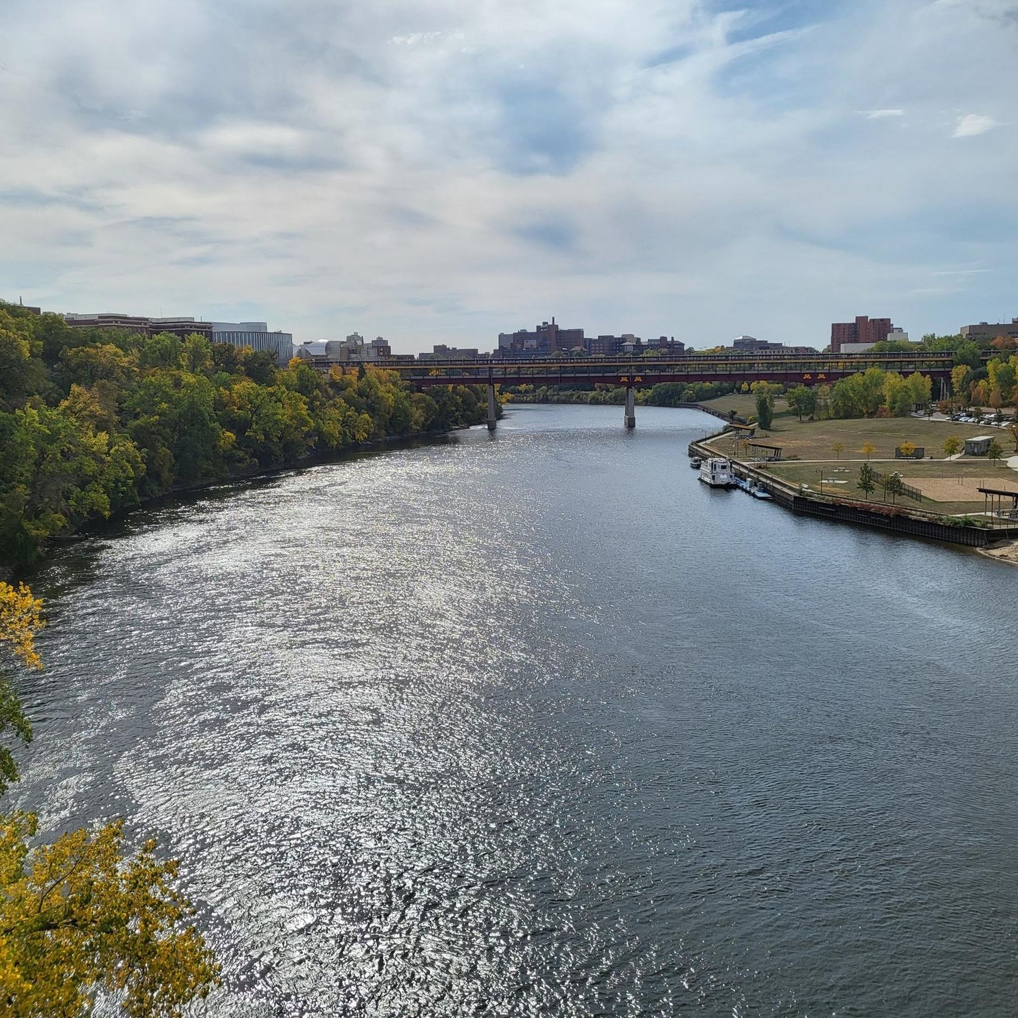
Walking or biking the iconic Stone Arch Bridge is a must-do while in Minneapolis. The path of the bridge offers stunning views of the Minneapolis skyline and the Mississippi River. The bridge itself is a beautiful stone masterpiece.
0
0

The Rice Creek Regional Trail near Mounds View is split into a northern and a western section. The northern section follows the name-giving Rice Creek and encircles two little ponds while passing through woodlands and open meadows.
1
0

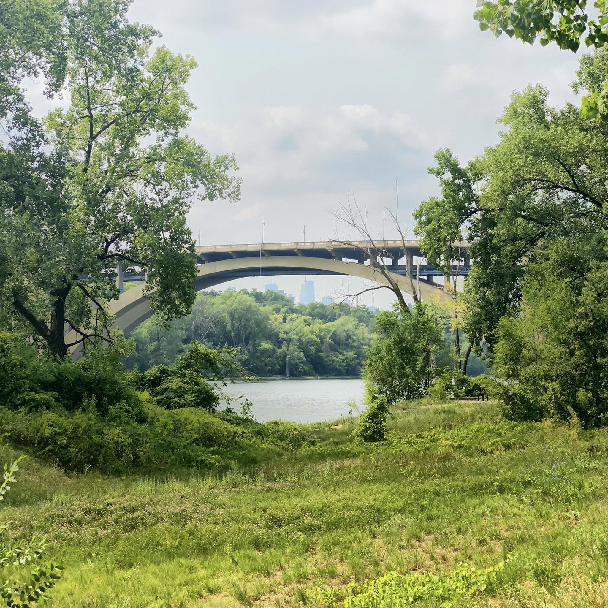
One of the bridges that connects St. Paul and Minneapolis that has a great view above the trees along the river.
1
0

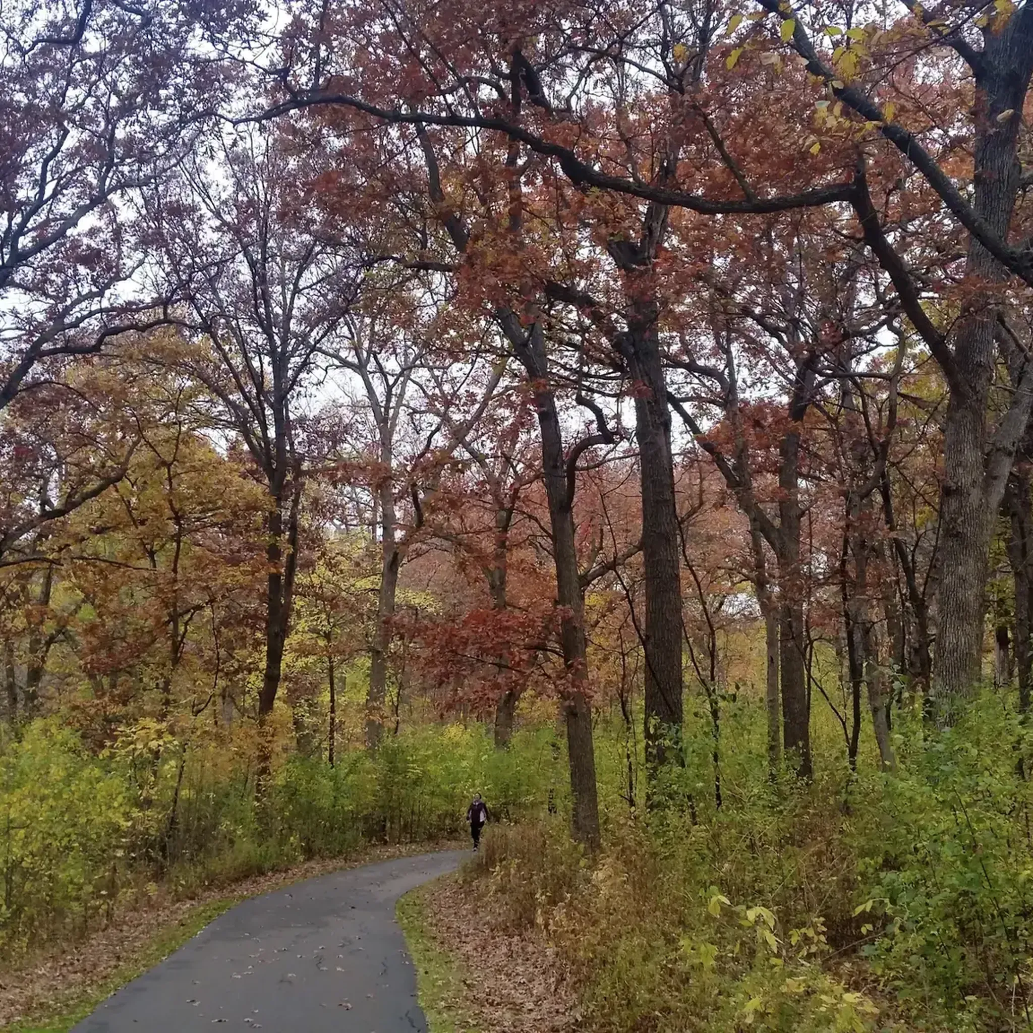
The Rice Creek West Regional Trail is a 4-mile-long trail that connects Creekview Park with Locke County Park. The trail is full paved and takes you through beautiful woodland scenery.
0
0

Nicollet Island Park is located in the heart of Minneapolis on the Mississippi River. It is just north of St. Anthony Falls in Minneapolis and has great views of downtown. This park features walking, jogging, and biking trails, picnic areas, and open green spaces and historic 19th-century houses.
0
0

Mill Ruins Park is located in downtown Minneapolis and shows the ruins of several flour mills dating back to the late 1850's. The park was listed in the National Register of Historic Places in 1971. It also offers views of Stone Arch Bridge, St. Anthony Falls, and the Mississippi River.
0
0
Frequently Asked Questions
How many road cycling routes are available in St. Anthony?
There are over 180 road cycling routes around St. Anthony, offering a wide range of options for different skill levels. The komoot community has explored more than 4,900 road cycling tours in the area.
What kind of terrain can I expect on road cycling routes around St. Anthony?
Road cycling in St. Anthony features a mix of rugged coastal roads, urban riverfronts, and varied suburban paths. The region is known for its dramatic ocean views and the scenic Viking Trail (Route 430), providing diverse landscapes for cyclists.
What is the best time of year for road cycling in St. Anthony?
The best time for road cycling in St. Anthony is generally from late spring to mid-summer. This period offers opportunities to view massive icebergs along "Iceberg Alley" and enjoy one of North America's longest whale-watching seasons. The weather is typically more favorable for outdoor activities during these months.
Are there options for beginner road cyclists in St. Anthony?
Yes, St. Anthony offers numerous routes suitable for beginners. There are 89 easy road cycling routes available. An example is the Mississippi River Trail – Franklin Avenue Bridge loop from Saint Anthony, an easy 19.5-mile trail.
What natural features or viewpoints can I see while road cycling in St. Anthony?
While cycling, you can experience St. Anthony's rugged coastline and breathtaking ocean views. The region is part of "Iceberg Alley," offering chances to spot icebergs. You might also see whales, dolphins, and seals, especially from vantage points like those found at Fishing Point Municipal Park. The area is also known for its unique flora, including the pitcher plant.
Are there any historical sites or attractions accessible by road bike in St. Anthony?
Yes, the historic Viking Trail (Route 430) itself is a significant scenic route. While cycling, you can plan side trips to explore sites like the Grenfell Historic Properties, which commemorate Dr. Wilfred Grenfell's work. The UNESCO World Heritage Site of L'Anse aux Meadows, an authenticated Norse settlement, is also a notable day trip from St. Anthony.
Are there any waterfalls or lakes near the road cycling routes?
Yes, you can find natural attractions like Minnehaha Falls, a beautiful waterfall, and several lakes such as Como Lake, Cedar Lake, and Lake of the Isles, which are accessible from various road cycling routes.
Can I expect to see wildlife while cycling in St. Anthony?
Absolutely. Northern Newfoundland, including the St. Anthony area, has one of the highest concentrations of moose in the world, making sightings common. Caribou and coyotes are also frequently seen. During spring, polar bears sometimes visit the town during their migration. The coastal areas offer opportunities for whale, dolphin, and seal sightings.
Are there road cycling routes that offer loop options?
Many of the road cycling routes in St. Anthony are designed as loops, providing convenient starting and ending points. For example, the Roadbike loop from Columbia Heights is a popular moderate 11.8-mile option.
What do other cyclists say about road cycling in St. Anthony?
The road cycling routes in St. Anthony are highly rated by the komoot community, with an average score of 4.7 stars from over 90 reviews. Cyclists often praise the varied terrain, scenic coastal views, and the blend of natural and historical points of interest along the routes.
Are there any longer road cycling routes for experienced riders?
Yes, for more experienced riders seeking longer distances, there are routes like the Islands of Peace – Rice Creek West Regional Trail loop from New Brighton, which covers over 19 miles (31.6 km) with moderate difficulty and significant elevation gain.
Where can I find parking for road cycling routes in St. Anthony?
Parking is generally available in and around St. Anthony, particularly at popular outdoor hubs like Fishing Point Municipal Park, which serves as a central point for various trails and offers extensive facilities. You can also find parking in the town center and near other trailheads.
Most popular attractions around St. Anthony

Get inspired with the komoot mobile app


Explore more
Browse the best Road cycling routes in other regions.
