The best road cycling routes around Dürnbucher Forst
4.6
(265)
4,678
riders
345
rides
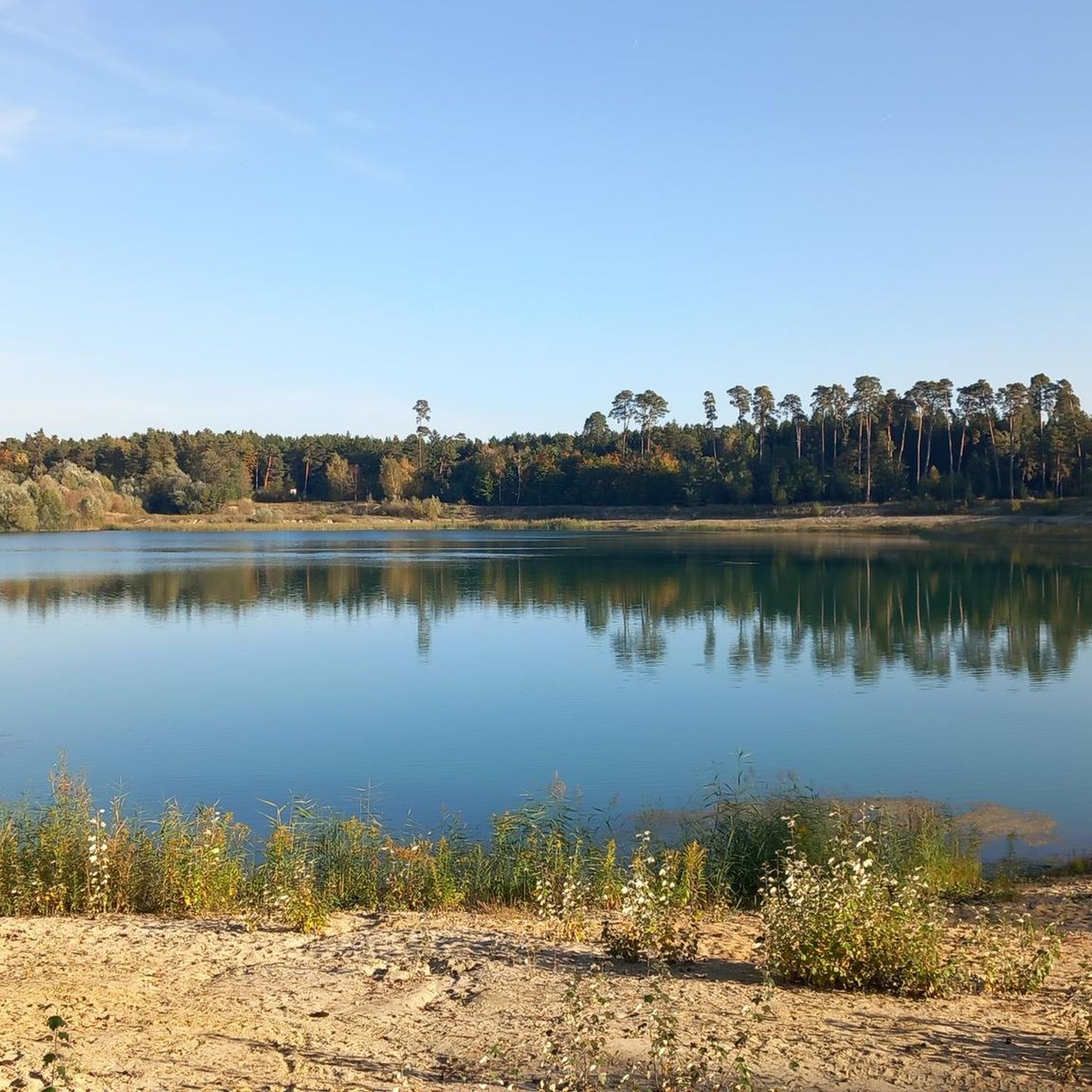
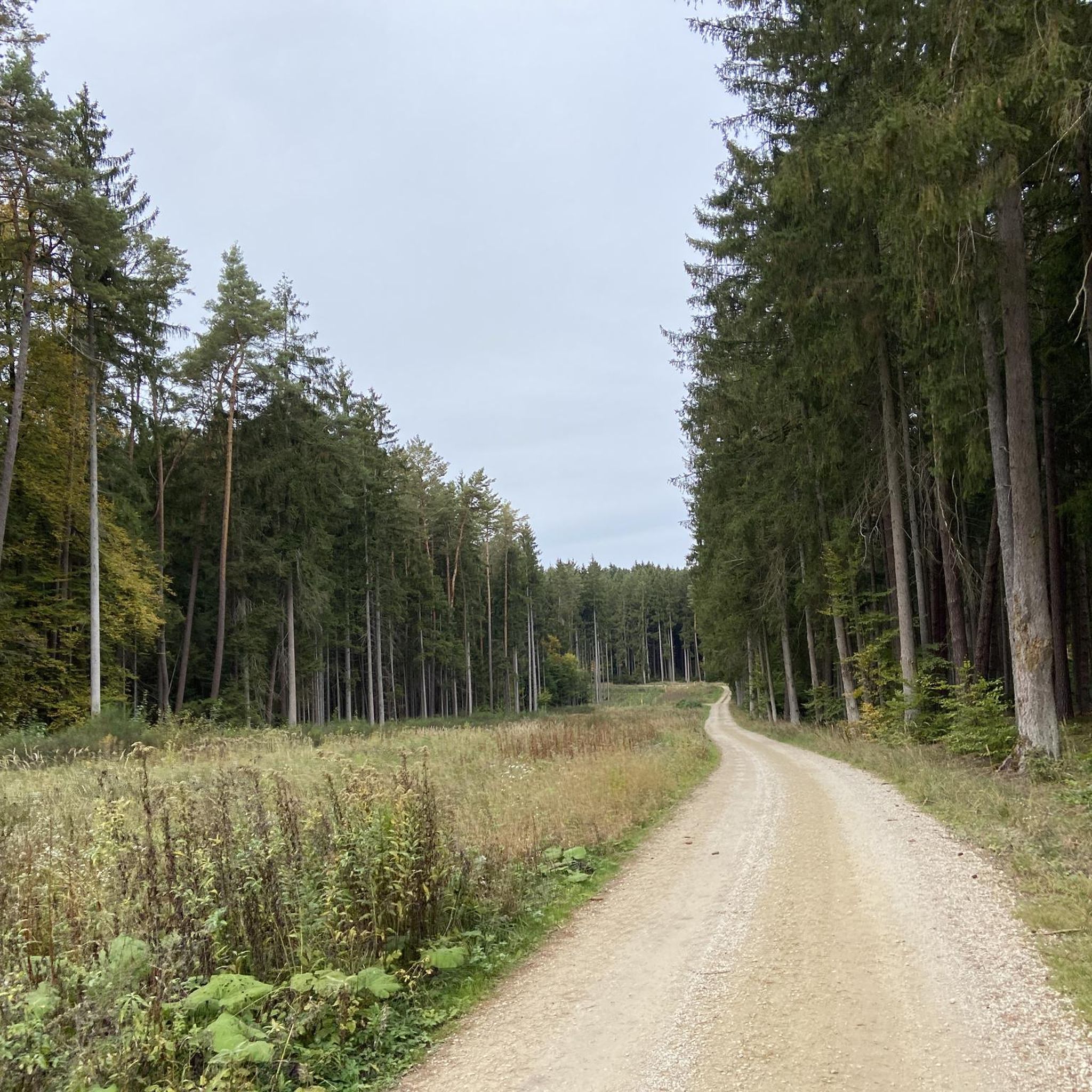
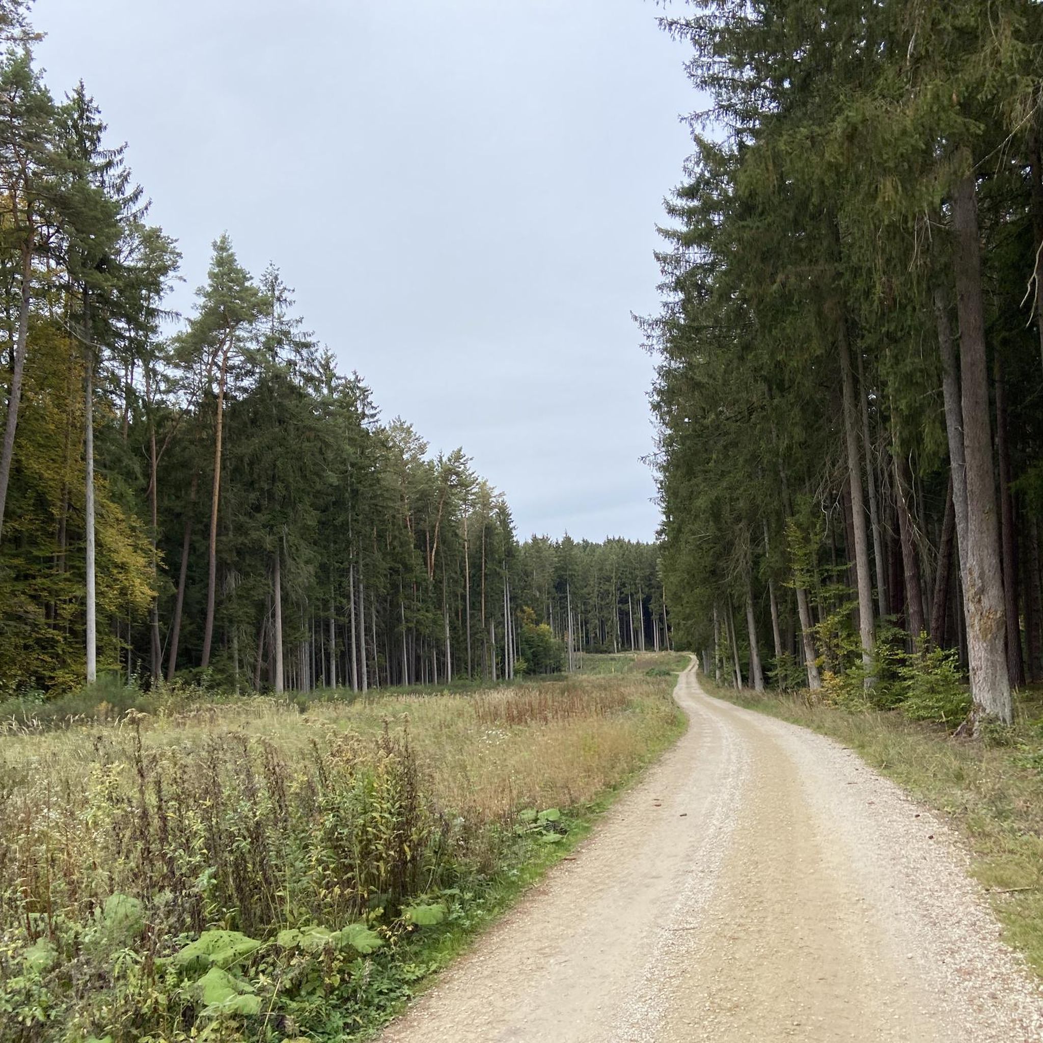
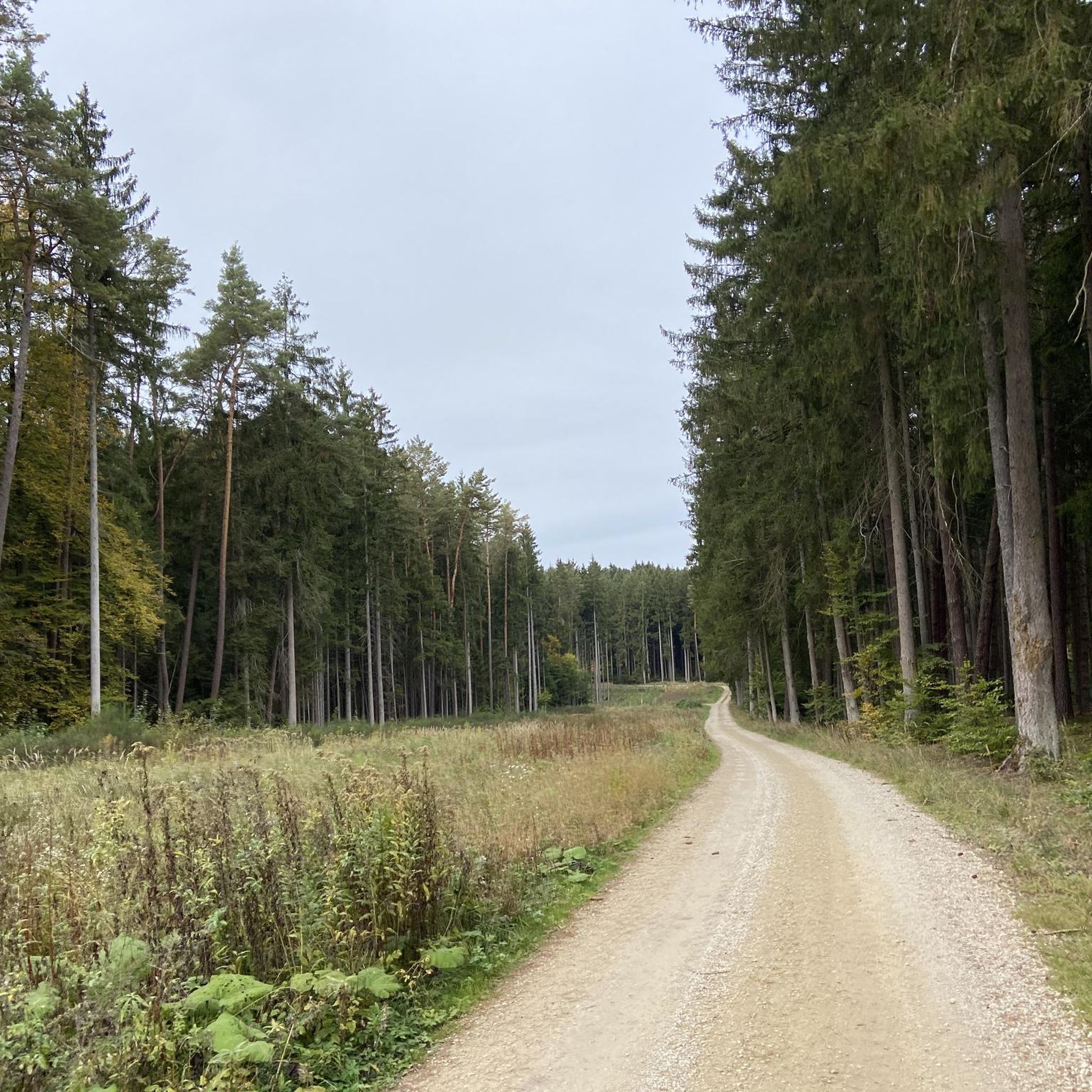
Road cycling routes around Dürnbucher Forst offer varied terrain within a largely unencumbered forest area. The region is characterized by extensive woodlands, primarily pine and spruce, providing a serene backdrop for rides. Well-maintained paved paths with smooth asphalt are common, alongside routes that incorporate slight inclines and gentle stretches. The area also features proximity to the Danube river, adding diverse scenery to the cycling experience.
Best road cycling routes around Dürnbucher Forst
- The most popular road cycling route is Scenic…
Last updated: June 27, 2026
3.0
(1)
32
riders
Moderate road ride. Good fitness required. Mostly well-paved surfaces and easy to ride.
5.0
(1)
24
riders
Easy road ride. Great for any fitness level. Mostly well-paved surfaces and easy to ride.

Sign up for free
17
riders
56.2km
02:20
170m
170m
Moderate road ride. Good fitness required. Mostly well-paved surfaces and easy to ride.
12
riders
83.7km
04:20
750m
750m
Moderate road ride. Good fitness required. Some segments of this route may be unpaved and difficult to ride.
15
riders
21.4km
00:56
130m
130m
Easy road ride. Great for any fitness level. Mostly well-paved surfaces and easy to ride.
Get access to more routes and recommendations from other explorers.
Sign up for free
Already have an account?
Our route recommendations are based on thousands of hikes, rides, and runs completed by other people on komoot.
Start today with a free account
Your next adventure awaits.
Login or Signup

Tips from the Community

Lovely path through the fields
1
0

The Danube Cycle Path between Marching and Pförring is a short but very charming section on the Bavarian part of the route. It is located in the heart of Hallertau and the Danube valley and is characterized by its close-to-nature routing.
0
0

Stadtpfarrkirche St. Laurentius A first church was likely built in Neustadt as early as the 13th century, shortly after the town was founded in 1270. At the end of the 15th century, the late Gothic hall church, much of which is still preserved today, was erected at the central crossroads in the town. During the Baroque era, the furnishings were adapted to the tastes of the time. In 1723, the tower received a new upper storey, and in 1773, a Baroque dome. From 1741 onwards, the interior was redesigned, with the work concluding in 1779 with the acquisition of a new high altar. The altar panel, painted by Christian Fröhlich, depicted the martyrdom of the church patron, Lawrence of Rome. Artillery fire on April 26 and 27, 1945, before the end of World War II, severely damaged the church tower, causing it to collapse in October 1945 due to dilapidation, destroying the chancel along with the Baroque high altar. The reconstruction was initially delayed for financial reasons. The nave in the destroyed eastern section was extended by one bay, thus shifting the chancel further east. The church interior was equipped with a star rib vault, matching the still existing late Gothic bays. The chancel tower was rebuilt in modern forms. In 1951, the church building was reconsecrated by Archbishop Michael Buchberger. The church interior is furnished very simply according to the guidelines of the Second Vatican Council. In the chancel, besides the people's altar, ambo, and tabernacle, the stained glass window in the rear wall by Robert Rabolt from 1957 is particularly noteworthy. It depicts the Trinity, a so-called "Gracious Throne," flanked by a Mater Dolorosa and the martyrdom of the church patron Lawrence. The northern side altar, a valuable work from around 1500, is a winged altarpiece which, when closed, conceals a late Gothic figure of the Virgin Mary of unknown origin. The southern side altar consists solely of figures from the Neo-Gothic high altar. The main figure is Saint Wolfgang, accompanied by the four Church Fathers Ambrose, Jerome, Augustine, and Gregory the Great, on processional poles. Also interesting is the figure of Saint Lawrence, which was originally the main figure of the Neo-Gothic high altar and is now placed on one of the northern pillars.
4
0

Beautiful hiking trail with an elevated view of the village.
0
0

Offendorf club station
0
0

Supermarket directly on the cycle path invites thirsty (and hungry) cyclists to refuel
0
0
Beautiful wide view over the Schambach valley
0
0

Quiet side road from Feimbo to Geisenfeld. Some road damage between Eichelberg and Parleiten. Additionally, the fiber optic expansion through Parleiten has created a patchwork of roads, which is pretty annoying.
0
0
Frequently Asked Questions
How many road cycling routes are available in Dürnbucher Forst?
Dürnbucher Forst offers a wide selection of road cycling routes, with over 350 options to explore. These routes cater to various skill levels, ensuring there's something for everyone.
What kind of terrain and surfaces can I expect on road cycling routes in Dürnbucher Forst?
You'll primarily find well-maintained paths with smooth asphalt, including sections along the B300, which are particularly enjoyable. The region's varied landscape also means you might encounter diverse natural scenery, though the focus for road cycling is on paved surfaces.
Are there routes suitable for beginners or those looking for an easy ride?
Yes, Dürnbucher Forst has approximately 100 easy road cycling routes. An example is the Rest area with benches – Danube Bridge Cycle Path loop from Münchsmünster, which is 23 km long with minimal elevation gain, making it perfect for a relaxed ride.
What are some notable landmarks or attractions I can see along the cycling routes?
Many routes pass by interesting sites. You can cycle near historical places like the Roman Fort Abusina or explore the Old Town of Vohburg an der Donau. The region also features natural highlights such as the Confluence of the Paar and Danube.
Are there any road cycling routes that offer significant elevation gain for a challenge?
While Dürnbucher Forst generally features moderate ascents, some routes offer more challenging climbs. For instance, the Scenic Road Near Tettenwang – Laimerstadt–Tettenwang Road loop from Münchsmünster includes over 300 meters of elevation gain over its 53.8 km distance, providing a good workout.
What do other cyclists say about road cycling in Dürnbucher Forst?
The komoot community highly rates road cycling in Dürnbucher Forst, with an average score of 4.6 stars from over 260 reviews. Cyclists often praise the varied terrain, the pleasant forested backdrop, and the well-maintained paths.
Can I find circular road cycling routes in the area?
Yes, many of the road cycling routes in Dürnbucher Forst are designed as loops, allowing you to start and end at the same point. Examples include the Eining Danube Ferry – Road Past Roman Fort Abusina loop from Münchsmünster and the Church of Our Lady, Mauern – Kuchlbauer Tower loop from Münchsmünster.
Are there family-friendly road cycling options in Dürnbucher Forst?
For families, routes with lower difficulty and less traffic are ideal. The region offers easy routes with minimal elevation, such as the Rest area with benches – Danube Bridge Cycle Path loop from Münchsmünster, which is 23 km long and takes about an hour, making it suitable for a family outing.
What is the best time of year for road cycling in Dürnbucher Forst?
The best time for road cycling is generally during spring, summer, and early autumn when the weather is mild and the paths are clear. Weekends and public holidays often see lighter traffic on roads like the B300, enhancing the riding experience.
Are there places to eat or drink near the cycling routes?
Yes, the broader region around Dürnbucher Forst offers various options for refreshments. You can find places like the Schlossgarten Ratzenhofen Beer Garden, and the area is known for attractions like the Brauerei zum Kuchlbauer, which often have dining facilities nearby.
Is it possible to spot wildlife while cycling in Dürnbucher Forst?
Given the extensive forested areas, it is possible to spot wildlife such as deer, especially during quieter times of the day or on less frequented paths. Always maintain a safe distance and respect their natural habitat.
Where can I park my car to access the road cycling routes?
While specific parking locations are not detailed for every route, many routes start from towns like Münchsmünster, which typically offer public parking facilities. It's advisable to check local parking options in the starting towns of your chosen route.
Can I reach Dürnbucher Forst cycling routes using public transport?
Access to Dürnbucher Forst and its cycling routes via public transport is possible, particularly to nearby towns like Vohburg an der Donau or Manching. However, specific bike carriage policies and schedules should be checked with local transport providers.
Most popular routes around Dürnbucher Forst
Most popular attractions around Dürnbucher Forst

Get inspired with the komoot mobile app


Explore more
Browse the best Road cycling routes in other regions.
