The best running trails around Stadtwald Ettlingen
4.4
(2646)
48,107
runners
1,607
runs
Jogging around Stadtwald Ettlingen offers a diverse landscape characterized by dense woodlands and well-maintained paths. Situated at the edge of the Black Forest and transitioning into the Rhine plain, the region features a mix of gentle slopes and rolling hills, providing varied terrain for runners. Numerous trails wind through forested areas, alongside the scenic Alb river, and through parklands. The maximum elevation reaches around 357 meters, offering varied running experiences.
Best jogging routes around Stadtwald Ettlingen
- The most popular jogging…
Last updated: July 9, 2026
4.7
(19)
384
runners
Moderate run. Good fitness required. Mostly paved surfaces. Suitable for all skill levels.
4.2
(6)
125
runners
5.97km
00:37
30m
30m
Moderate run. Good fitness required. Mostly paved surfaces. Suitable for all skill levels.

Sign up for free
5.0
(4)
76
runners
Moderate run. Good fitness required. Mostly paved surfaces. Suitable for all skill levels.
77
runners
34.5km
03:39
150m
150m
Hard run. Very good fitness required. Mostly paved surfaces. Suitable for all skill levels.
58
runners
7.36km
00:46
50m
50m
Moderate run. Good fitness required. Mostly paved surfaces. Suitable for all skill levels.
Get access to more routes and recommendations from other explorers.
Sign up for free
Already have an account?
Our route recommendations are based on thousands of hikes, rides, and runs completed by other people on komoot.
Start today with a free account
Your next adventure awaits.
Login or Signup
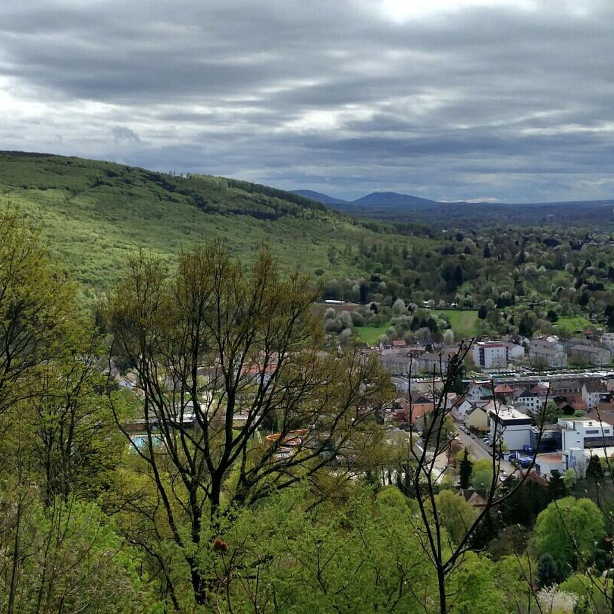
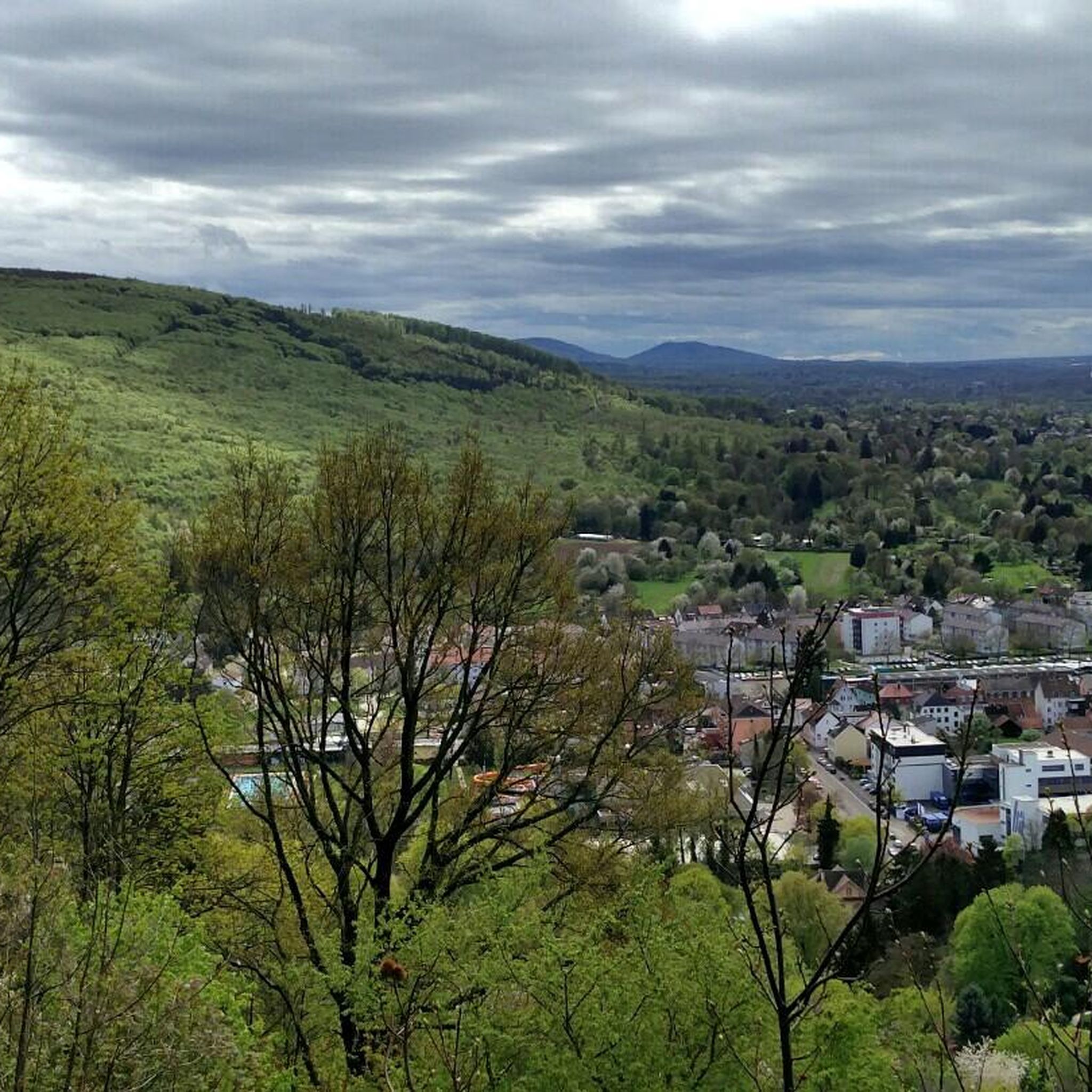
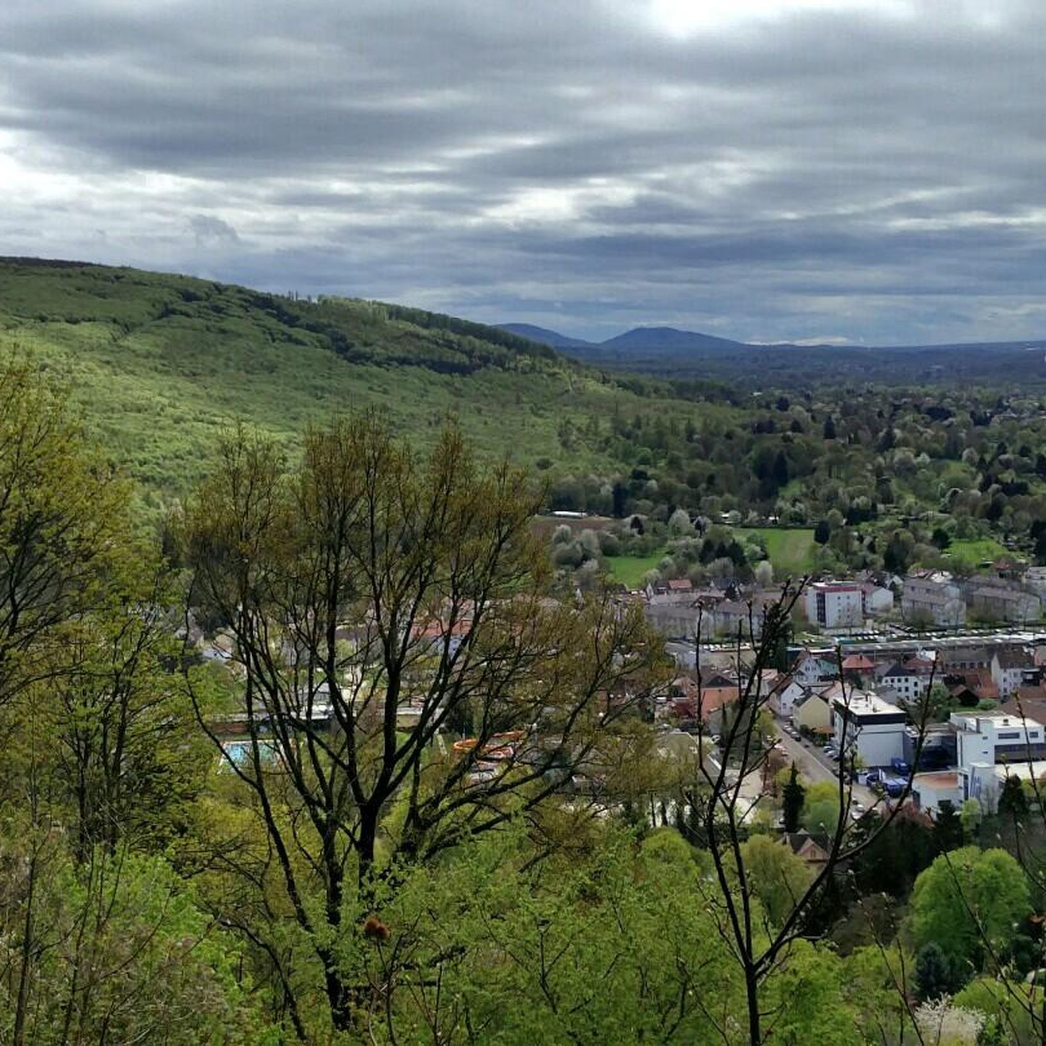
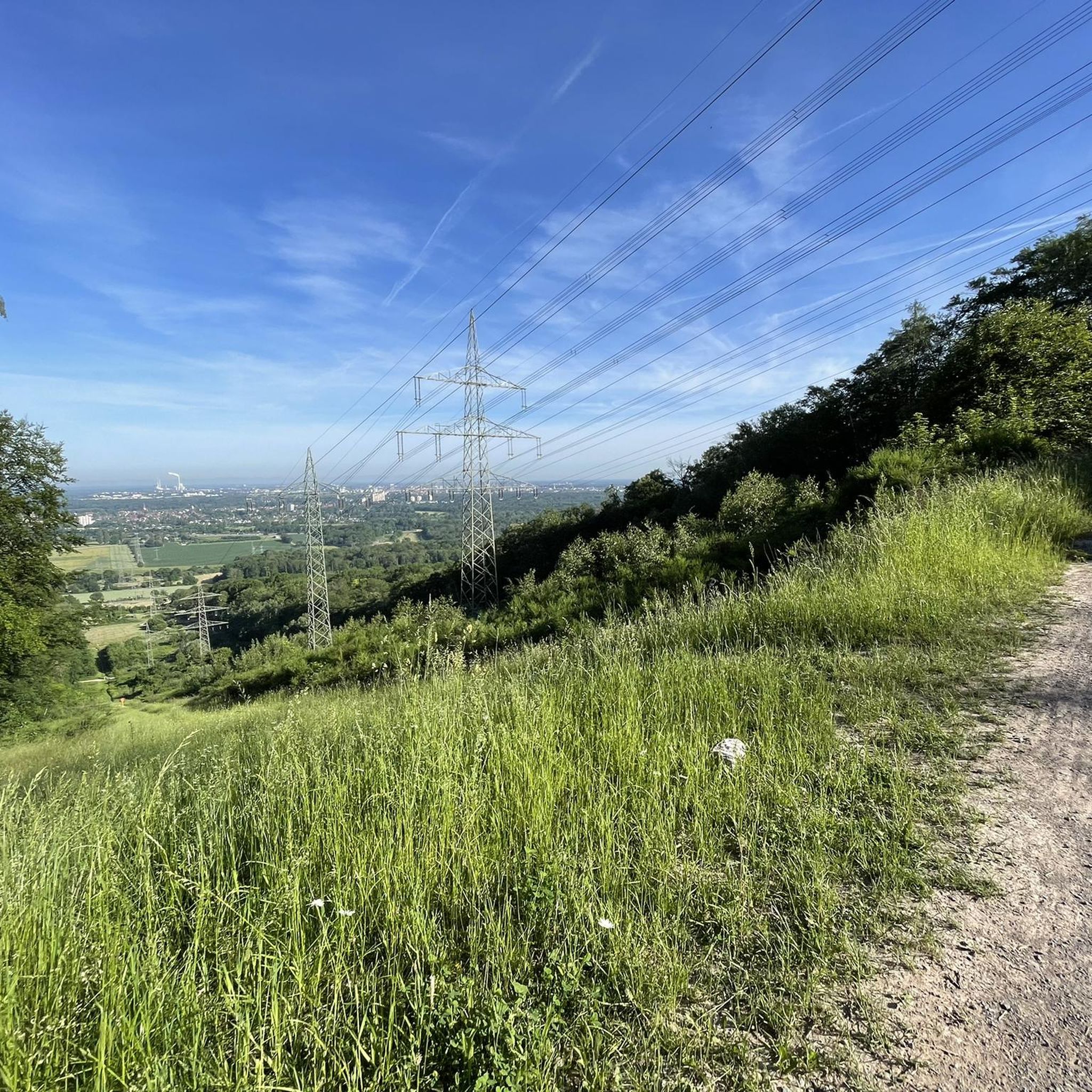

Tips from the Community


Yes, where the Albtalbahn crosses the Alb river, and there is a footpath parallel to it, you have a good view of the water level.
0
0

A few meters from the hiking trail, this spring is accessible via a small path. Unfortunately, it is not drinking water, but the somewhat hidden, quite idyllic location makes up for it.
5
0
It looks almost like a giant bottle cap, but it has no spikes.
0
0

🌳 Watthalden Park The surrounding Watthalden Park is a public green space and serves as Ettlingen's green lung: With its mature trees, a small lake, and playgrounds, it's a popular destination for walkers. Watthalden Festival: Every year on the third Sunday in June, the well-known festival takes place here – a celebration for the whole family with plenty of music and culture.
1
0

It is possible to enter here in the summer to cool off.
2
0

The facility was completed in 1985 after approximately nine years of construction. At a cost of approximately 10 million DM, it was one of the largest inner-city recreational areas in Germany created outside of a garden show. It was named after former Karlsruhe mayor Günther Klotz. https://ka.stadtwiki.net/G%C3%BCnther-Klotz-Anlage https://ka.stadtwiki.net/G%C3%BCnther_Klotz
3
0

One of the rare options to cross the Alb.
0
0
Frequently Asked Questions
How many running routes are available in Stadtwald Ettlingen?
Stadtwald Ettlingen offers a wide variety of running options, with over 1500 routes recorded on komoot. This includes more than 190 easy routes, over 1100 moderate routes, and more than 210 difficult trails, catering to all fitness levels.
Are there easy running routes in Stadtwald Ettlingen suitable for beginners?
Yes, Stadtwald Ettlingen has over 190 easy running routes. These trails typically feature gentle slopes and well-maintained paths, making them ideal for beginners or those looking for a relaxed jog. The region's diverse landscape ensures there are plenty of accessible options.
What is the typical length of running trails in Stadtwald Ettlingen?
The running trails in Stadtwald Ettlingen vary significantly in length. For instance, routes like the Wooden statue of Thomas – Rittnert Educational Forest loop from Hohenwettersbach are around 4.3 miles (7.0 km), while longer options such as the Kälberklamm und Hasenklamm loop from Busenbach extend to about 10.9 miles (17.6 km). There are also much longer routes, like the Mount Klotz – Path along the Appenmühl Canal loop from Ettlingen Stadt, which is over 18 miles (30 km).
Are there family-friendly running routes in Stadtwald Ettlingen?
Many of the easy and moderate routes in Stadtwald Ettlingen are suitable for families. These trails often pass through parklands and forested areas with gentle elevation changes, providing a pleasant experience for all ages. Look for routes with well-maintained surfaces and shorter distances for younger runners.
Are there running trails in Stadtwald Ettlingen with convenient parking?
Yes, several areas around Stadtwald Ettlingen offer convenient parking for runners. For example, the Kaisereiche Ettlingen is a known parking highlight that provides access to various trails. Many routes start from easily accessible points with nearby parking facilities.
What kind of natural sights can I expect along the running routes?
The running routes in Stadtwald Ettlingen offer a variety of natural sights. You can explore beautiful gorges like the Kreuzenacker Gorge or the Hasengraben. There are also notable natural monuments such as Hedwig's Spring and the impressive Kaisereiche Ettlingen. Some trails also feature viewpoints, like the Panorama Trail on the Wattkopf.
Are there any circular running routes in Stadtwald Ettlingen?
Yes, many of the running routes in Stadtwald Ettlingen are circular, allowing you to start and end at the same point. Examples include the Alb Bridge on Bulachstraße – Dreschverein Rüppurr Barn loop from Ettlingen Wasen, which offers a pleasant loop through varied terrain, and the Pond in Watthaldenpark – Watthalden Park loop from Ettlingen Albgaubad.
What do other runners enjoy most about jogging in Stadtwald Ettlingen?
The running experience in Stadtwald Ettlingen is highly rated by the komoot community, with an average score of 4.4 stars from over 2400 reviews. Runners often praise the dense woodlands, well-maintained paths, and the varied terrain that offers options for different ability levels. The mix of parkland and riverside paths also contributes to its popularity.
Can I find viewpoints or scenic spots along the running trails?
Absolutely. Stadtwald Ettlingen offers several scenic spots and viewpoints. The Panorama Trail on the Wattkopf is particularly known for its views. Many trails wind through elevated areas, providing glimpses of the surrounding landscape and forests.
Are there any specific trails that explore educational forests?
Yes, one notable route is the Wooden statue of Thomas – Rittnert Educational Forest loop from Hohenwettersbach. This moderate 4.3-mile (7.0 km) path allows runners to explore an educational forest, offering insights into the local flora and fauna with gentle elevation changes.
What kind of terrain can I expect when running in Stadtwald Ettlingen?
The terrain in Stadtwald Ettlingen is quite diverse. You'll encounter primarily dense woodlands with well-maintained paths. The region features a mix of gentle slopes and rolling hills, providing varied challenges. Some routes also include parklands and paths alongside small streams, offering a mix of natural surfaces.
Most popular routes around Stadtwald Ettlingen
Most popular attractions around Stadtwald Ettlingen

Get inspired with the komoot mobile app


Explore more
Browse the best Running Trails & Routes in other regions.
