The best walks and hikes around Stadtwald Ettlingen
4.5
(11016)
51,725
hikers
48
hikes
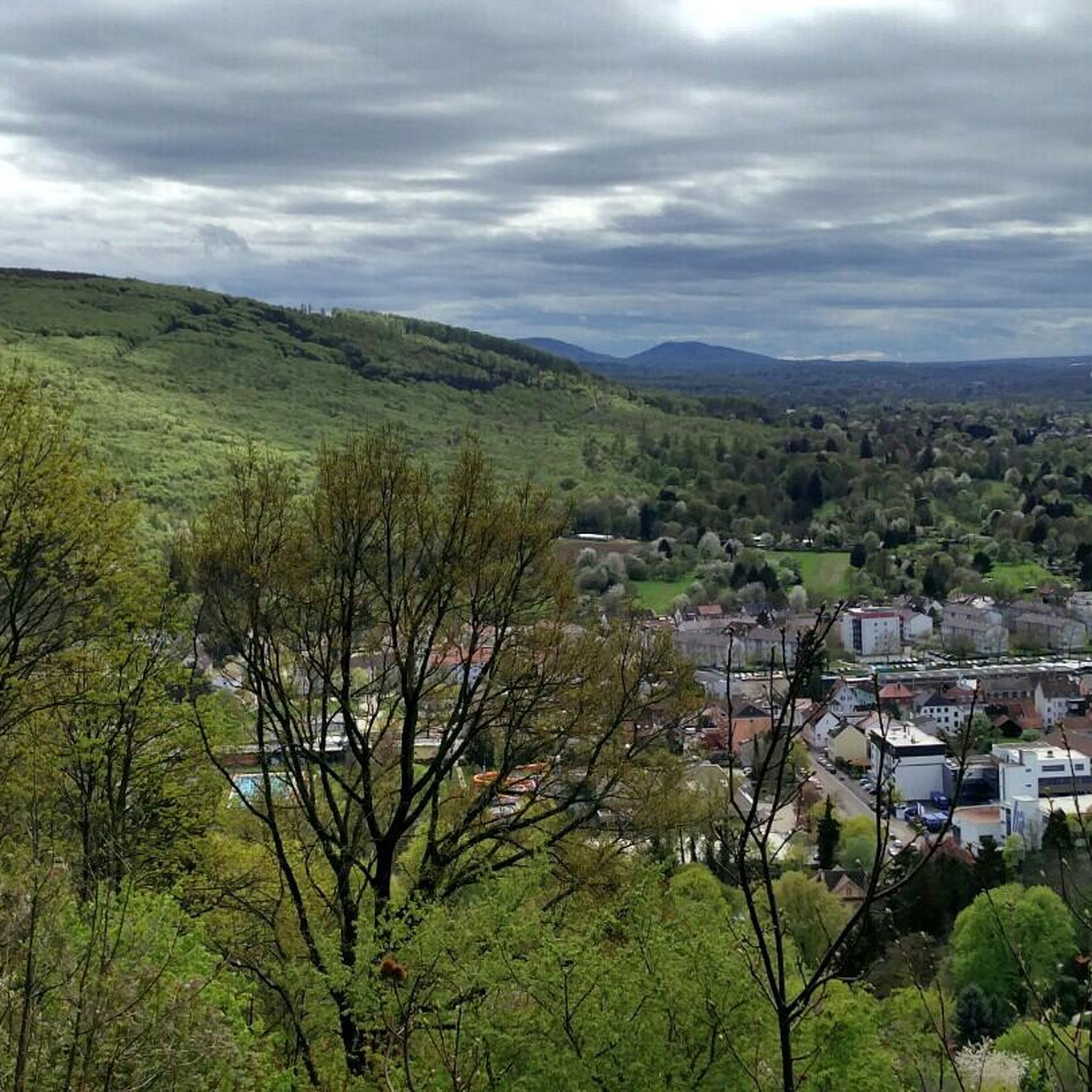
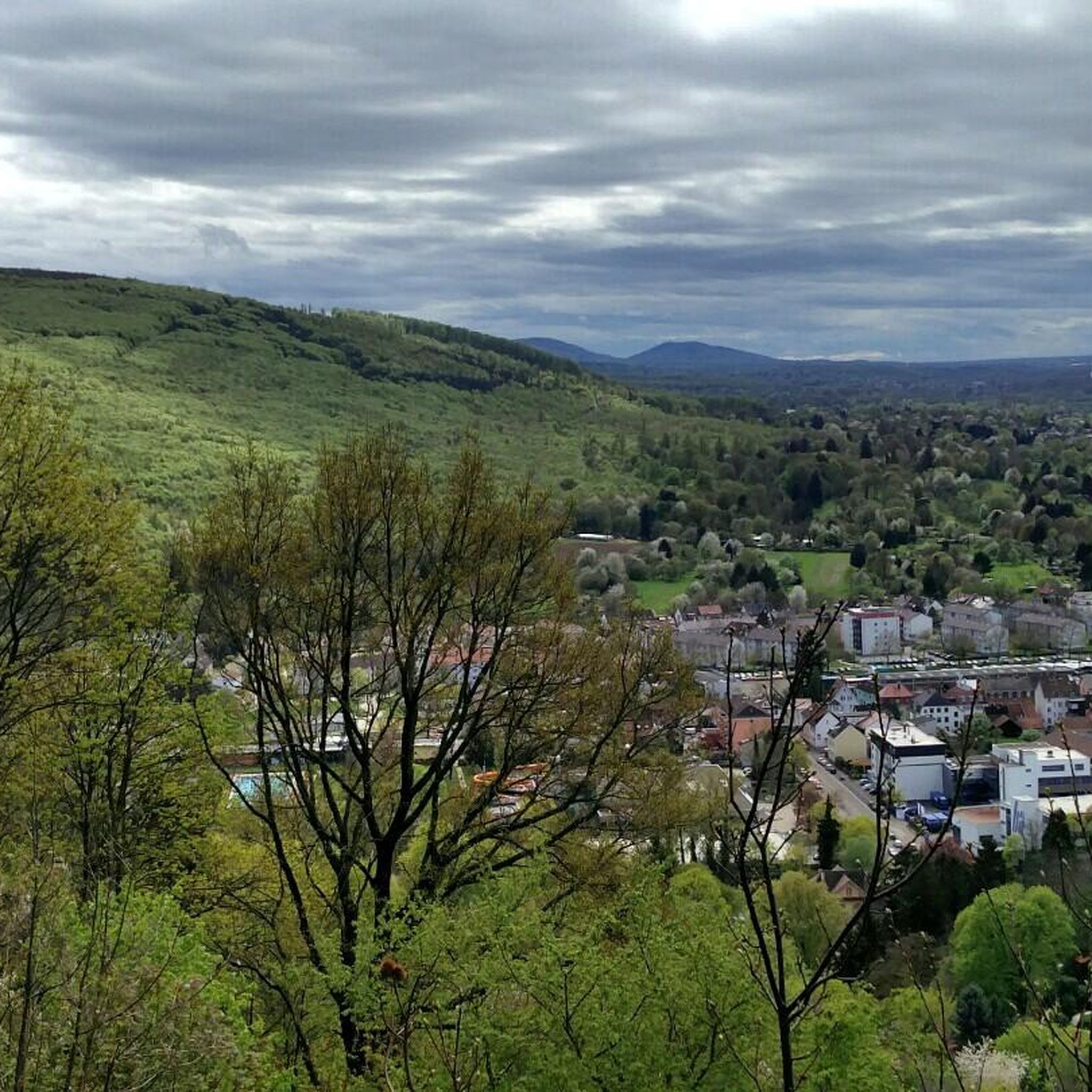
Hiking around Stadtwald Ettlingen offers diverse landscapes at the edge of the Black Forest, transitioning into the Rhine plain. The region features varied forest terrain with gentle ascents and descents, and the scenic Alb river flows through the area. Hikers can experience varied elevations, with some points reaching around 357 meters, providing opportunities for panoramic views. The woodlands also contain unique geological formations like canyons and natural monuments.
Best hiking trails around Stadtwald Ettlingen
- The most popular hiking route is Panorama Trail on the Wattkopf – Bismarck Head Sculpture loop from Ettlingen, a 2.1 miles (3.5 km) trail that takes 1 hour to complete. This easy route offers views of the surrounding area.
- Another top favourite among local hikers is Hedwig's Spring – View of the Rhine Plain loop from Ettlingen, an easy 2.5 miles (4.0 km) path. This trail leads through forest sections with views towards the Rhine Plain.
- Local hikers also love the Karlsruhe Summit Cross – Pfeilerhof Farm Shop loop from Kälberklamm und Hasenklamm, a 6.1 miles (9.9 km) trail leading through varied forest and open areas, often completed in about 2 hours 45 minutes.
- Hiking around Stadtwald Ettlingen is defined by varied forest terrain, picturesque river valleys, and diverse elevations offering panoramic views. The extensive network offers options for different ability levels, from easy strolls to moderate hikes.
- The routes in Stadtwald Ettlingen are highly rated by the komoot community with an average score of 4.7 stars from over 240 reviews. More than 1200 hikers have used komoot to explore Stadtwald Ettlingen's varied terrain.
Last updated: June 24, 2026
4.6
(58)
308
hikers
Easy hike. Great for any fitness level. Easily-accessible paths. Suitable for all skill levels.
4.6
(22)
104
hikers
Moderate hike. Good fitness required. Easily-accessible paths. Suitable for all skill levels.

Sign up for free
4.2
(39)
137
hikers
Easy hike. Great for any fitness level. Easily-accessible paths. Suitable for all skill levels.
4.6
(23)
82
hikers
Moderate hike. Good fitness required. Easily-accessible paths. Suitable for all skill levels.
4.6
(16)
43
hikers
Moderate hike. Great for any fitness level. Mostly accessible paths. Sure-footedness required.
Get access to more routes and recommendations from other explorers.
Sign up for free
Already have an account?
Our route recommendations are based on thousands of hikes, rides, and runs completed by other people on komoot.
Start today with a free account
Your next adventure awaits.
Login or Signup

Tips from the Community

The approximately six-and-a-half-meter-high cross was made from a fallen black locust tree from the Karlsruher Oberwald. It weighs around one ton and had to be erected with the help of a crane. The municipal forest workers created and elaborately decorated it with loving handiwork. The summit cross is held by a roughly four-ton base plate, which gives the structure the necessary stability against storms and gusts.
2
0

The historic water reservoir (drinking water high-level tank) from 1901 was reopened after a five-year renovation (due to PCB contamination) - a beautiful testament to Ettlingen's technological history. It was in operation until 1981, now it is only a monument.
3
0

A small gorge directly on the outskirts of Grünwettersbach, through which a natural, gently rising path leads.
6
0
Historic fountain, beautifully encased in stone, with the year 1892 inscribed on the trough. Unfortunately, it does not provide drinking water, as indicated on the water feature.
6
1
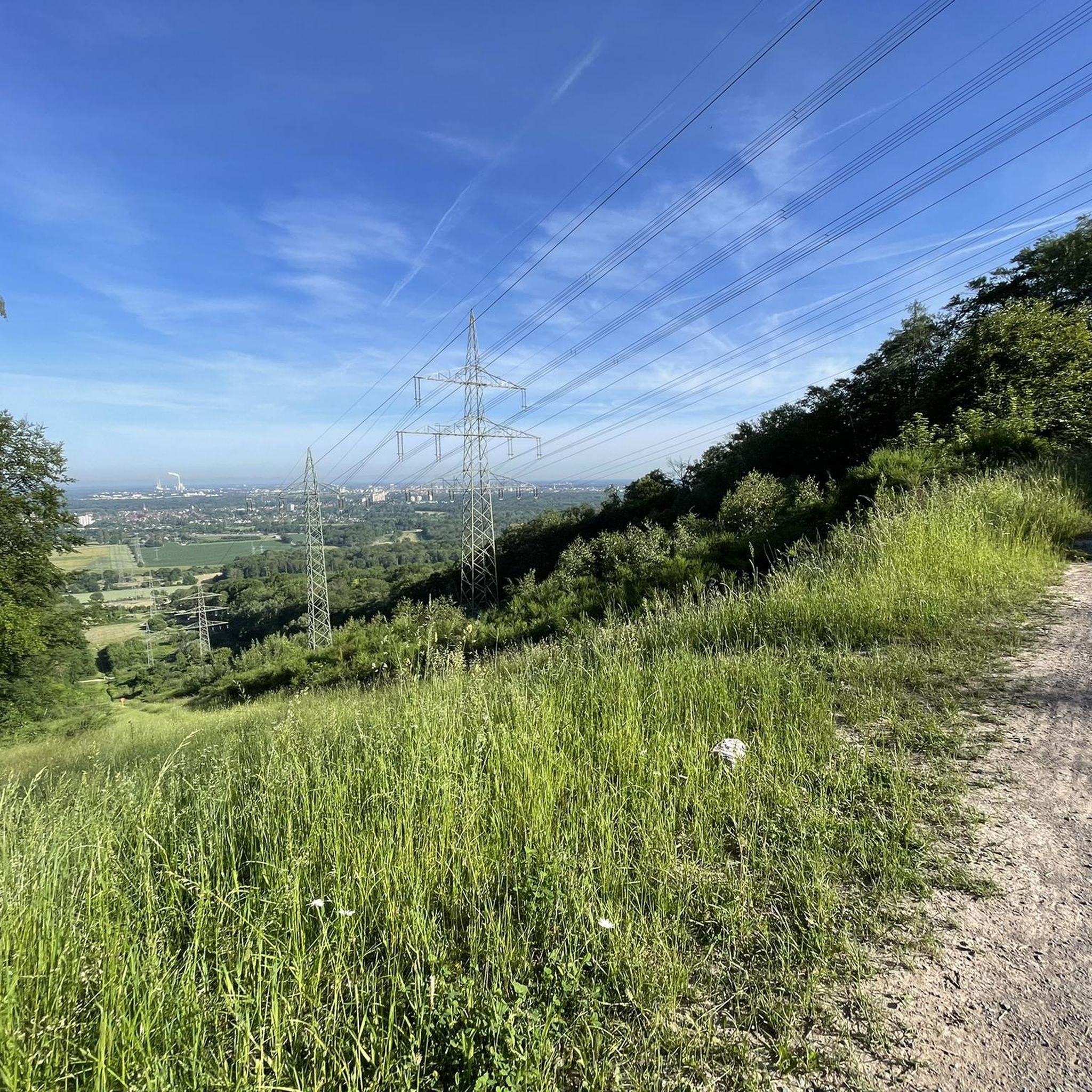
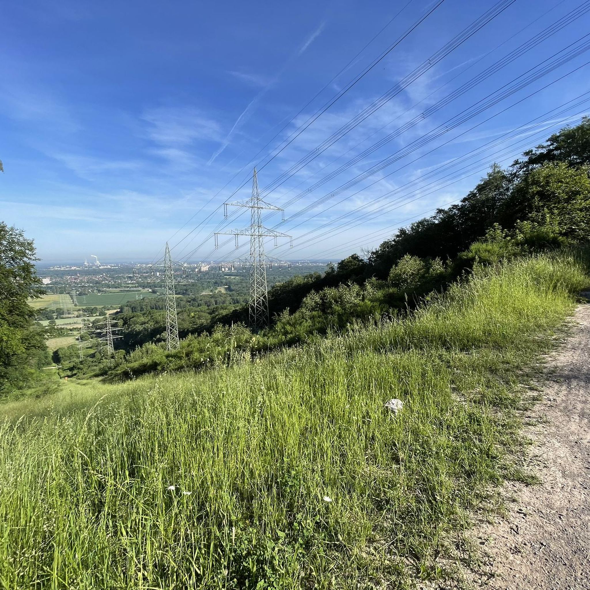
The 114.70 m high telecommunications tower was erected in 1968 in what is now the Karlsruhe district of Grünwettersbach. Besides private microwave links, the transmitter is also used to broadcast FM and DAB signals for the city of Karlsruhe and the surrounding area.
7
0
The Grünwettersbach forest playground offers some seating for a short rest and is located directly next to the telecommunications tower.
8
0
Summit cross on the highest point in the Karlsruhe district. This is located at an altitude of 323 meters, not far from the Wettersbach radio tower. The cross, approximately six and a half meters high, was made from a fallen black locust tree from the Karlsruhe Oberwald forest.
8
0
A rustic shelter with a few benches at an altitude of 320m, offering refuge especially during precipitation.
8
0
Frequently Asked Questions
What kind of terrain can I expect when hiking in Stadtwald Ettlingen?
Stadtwald Ettlingen offers a diverse landscape with varied forest terrain, including gentle ascents and descents. You'll find picturesque river valleys along the scenic Alb river, and some points reach around 357 meters, providing opportunities for panoramic views. The area also features unique geological formations like canyons and natural monuments.
Are there many hiking trails available in Stadtwald Ettlingen?
Yes, Stadtwald Ettlingen boasts an extensive network of over 40 hiking trails. These routes cater to various fitness levels, with 31 easy trails and 13 moderate options, ensuring there's something for everyone.
Are there any family-friendly hiking options in Stadtwald Ettlingen?
Absolutely. Many of the trails in Stadtwald Ettlingen are suitable for families. For an easy and enjoyable walk, consider the Hedwig's Spring – View of the Rhine Plain loop from Ettlingen, which is 4.0 km long and takes about 1 hour and 7 minutes to complete, leading through pleasant forest sections.
Can I bring my dog on the hiking trails in Stadtwald Ettlingen?
Yes, Stadtwald Ettlingen is generally dog-friendly, offering many trails where you can enjoy a hike with your canine companion. It's always a good idea to keep your dog on a leash, especially in areas with wildlife or near other hikers, and to clean up after them.
What are some notable landmarks or viewpoints to see while hiking?
The area offers several interesting points. You can enjoy stunning views from various elevated points within the Stadtwald. A prominent landmark is the Bismarck Tower above Ettlingen, which provides excellent panoramic vistas. Another route, the Panorama Trail on the Wattkopf – Bismarck Head Sculpture loop from Ettlingen, offers great views of the surrounding area.
Are there any circular hiking routes in Stadtwald Ettlingen?
Yes, many of the trails in Stadtwald Ettlingen are circular, making them convenient for day trips. An example is the Karlsruhe Summit Cross – Pfeilerhof Farm Shop loop from Kälberklamm und Hasenklamm, a moderate 9.9 km route that takes about 2 hours and 45 minutes, leading through varied forest and open areas.
What do other hikers say about the trails in Stadtwald Ettlingen?
The hiking trails in Stadtwald Ettlingen are highly regarded by the komoot community, with an average rating of 4.7 stars from over 240 reviews. Hikers frequently praise the varied forest terrain, the picturesque river valleys, and the well-maintained paths that offer diverse experiences for all ability levels.
What is the best time of year to go hiking in Stadtwald Ettlingen?
Stadtwald Ettlingen is beautiful year-round, but spring and autumn are particularly popular. In spring, the woodlands burst with new growth and wildflowers, including the Wild Garlic Trail. Autumn offers vibrant foliage. Summer provides lush green canopies, while winter can transform the landscape into a serene, snowy wonderland, though some paths might be more challenging.
Are there any longer, more challenging hikes available?
While most trails are easy to moderate, you can find longer routes. For a moderate hike, consider the Pfeilerhof Farm Shop – Karlsruhe Summit Cross loop from Ettlingen Spinnerei. This route covers 12.9 km and typically takes around 3 hours and 37 minutes, offering a more extended exploration of the forest.
Are there any unique natural features to discover in Stadtwald Ettlingen?
Beyond the varied forest and river valleys, Stadtwald Ettlingen is known for its unique geological formations, including canyons and natural monuments. The area's transition from the Rhine plain to the Black Forest also creates a rich biodiversity, offering opportunities for nature observation and wildlife spotting.
Is there parking available for hikers in Stadtwald Ettlingen?
Yes, there are various parking options available around Stadtwald Ettlingen, especially near popular trailheads and access points. Specific parking details can often be found on local signage or within the komoot tour descriptions for individual routes.
Most popular routes around Stadtwald Ettlingen
Most popular attractions around Stadtwald Ettlingen

Get inspired with the komoot mobile app


Explore more
Browse the best Hikes in other regions.
