The best walks and hikes around Die Die Berge
4.5
(3432)
15,533
hikers
58
hikes
Hiking around Die Die Berge offers a network of trails primarily through forested areas and rolling hills. The region is characterized by its diverse terrain, providing routes suitable for various experience levels. While the name suggests mountains, the elevation gains on the trails are generally low, making for accessible walks. This area features lush woodlands and open meadows, with paths often winding through natural landscapes.
Best hiking trails around Die Die Berge
- The most popular hiking route is LandStreifer Borken/Velen…
Last updated: July 2, 2026
4.6
(146)
471
hikers
13.7km
03:32
70m
70m
Moderate hike. Good fitness required. Easily-accessible paths. Suitable for all skill levels.
4.9
(17)
60
hikers
Easy hike. Great for any fitness level. Easily-accessible paths. Suitable for all skill levels.

Sign up for free
4.5
(15)
40
hikers
Easy hike. Great for any fitness level. Easily-accessible paths. Suitable for all skill levels.
4.3
(6)
28
hikers
Moderate hike. Good fitness required. Easily-accessible paths. Suitable for all skill levels.
5.0
(4)
28
hikers
Easy hike. Great for any fitness level. Easily-accessible paths. Suitable for all skill levels.
Get access to more routes and recommendations from other explorers.
Sign up for free
Already have an account?
Our route recommendations are based on thousands of hikes, rides, and runs completed by other people on komoot.
Start today with a free account
Your next adventure awaits.
Login or Signup
Popular around Die Die Berge
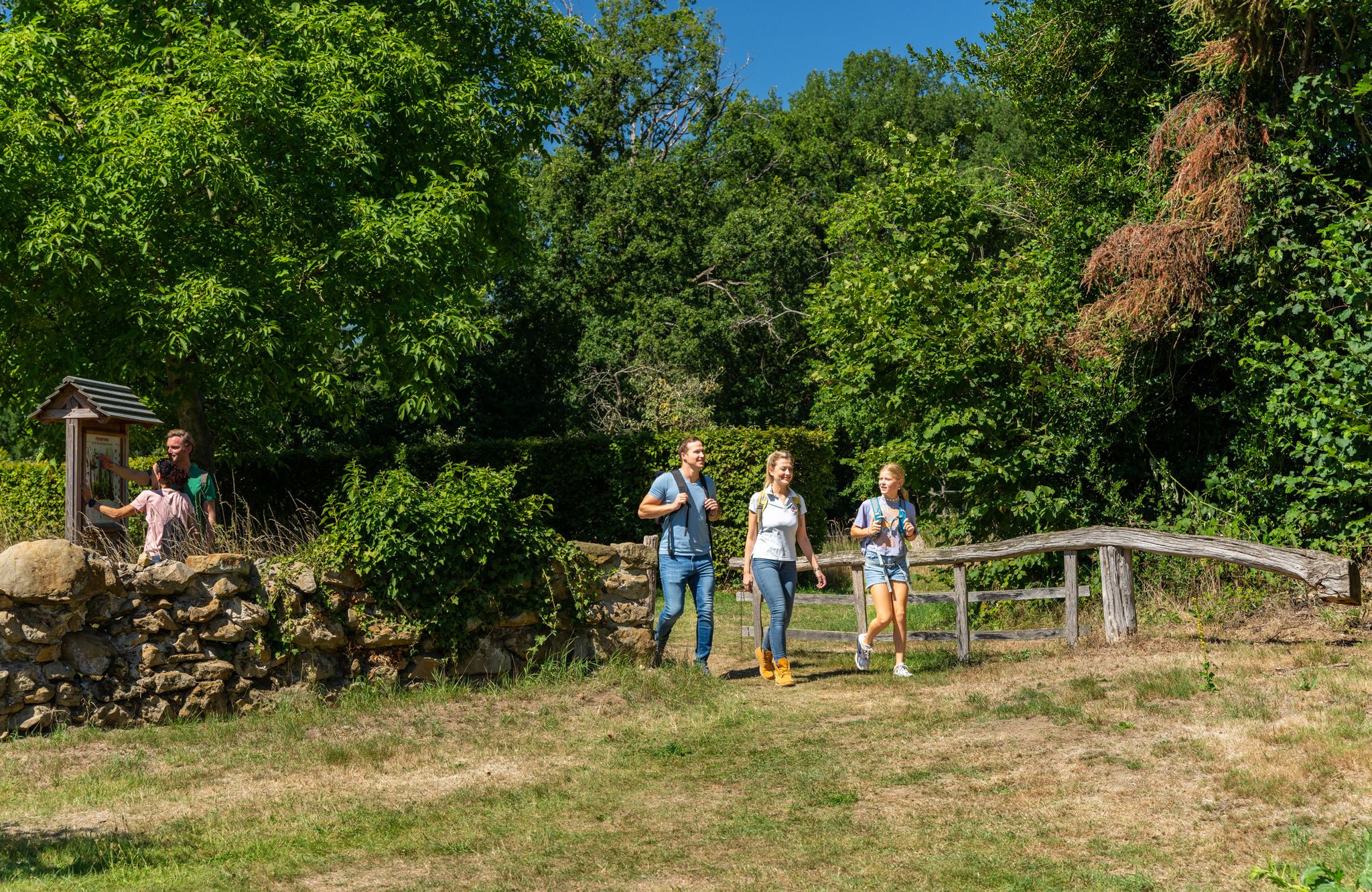
LandStreifer – circular hiking trails to Germany’s Hohe Mark Steig
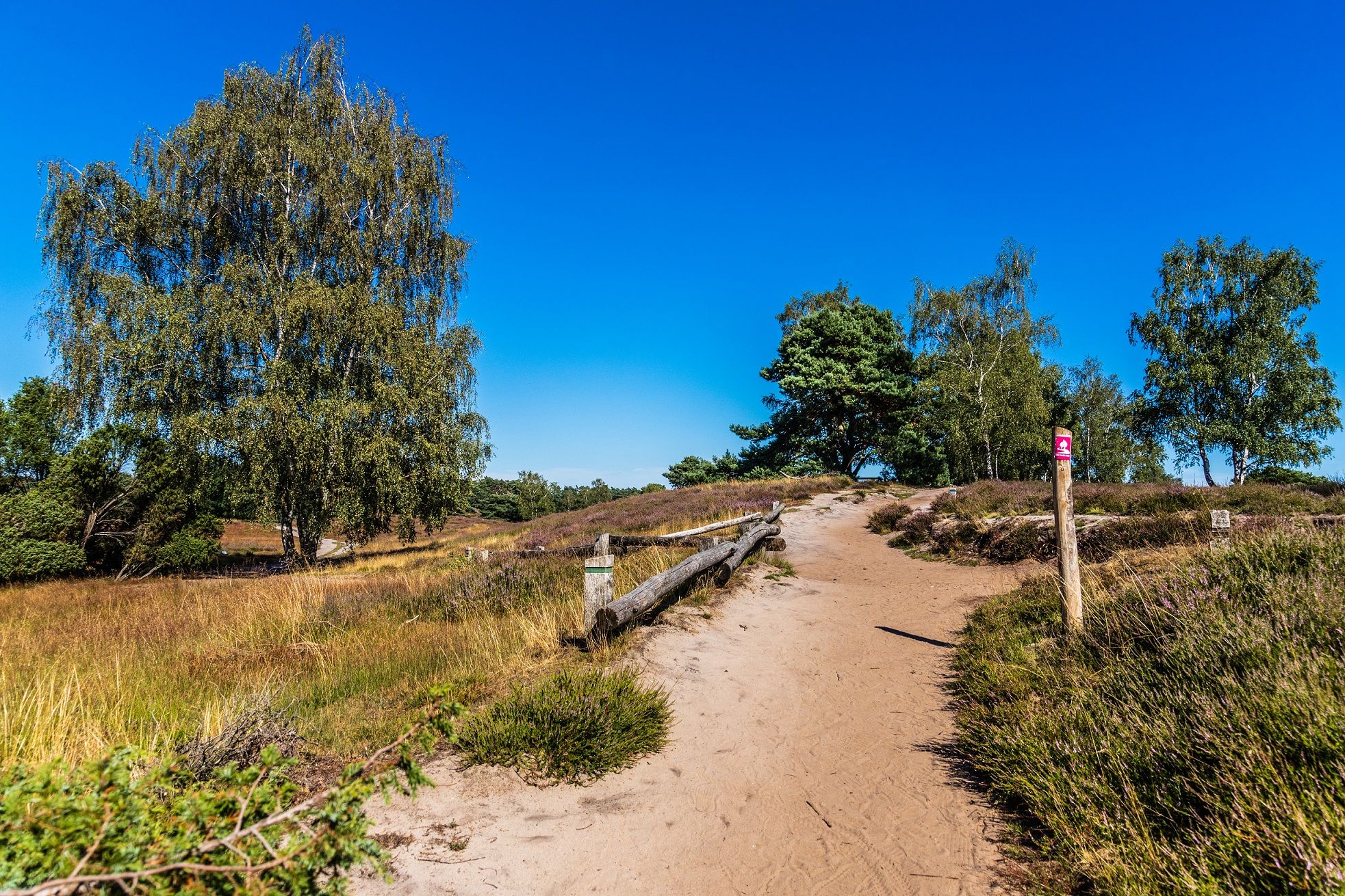
Your bond with nature — Germany’s Hohe Mark Steig
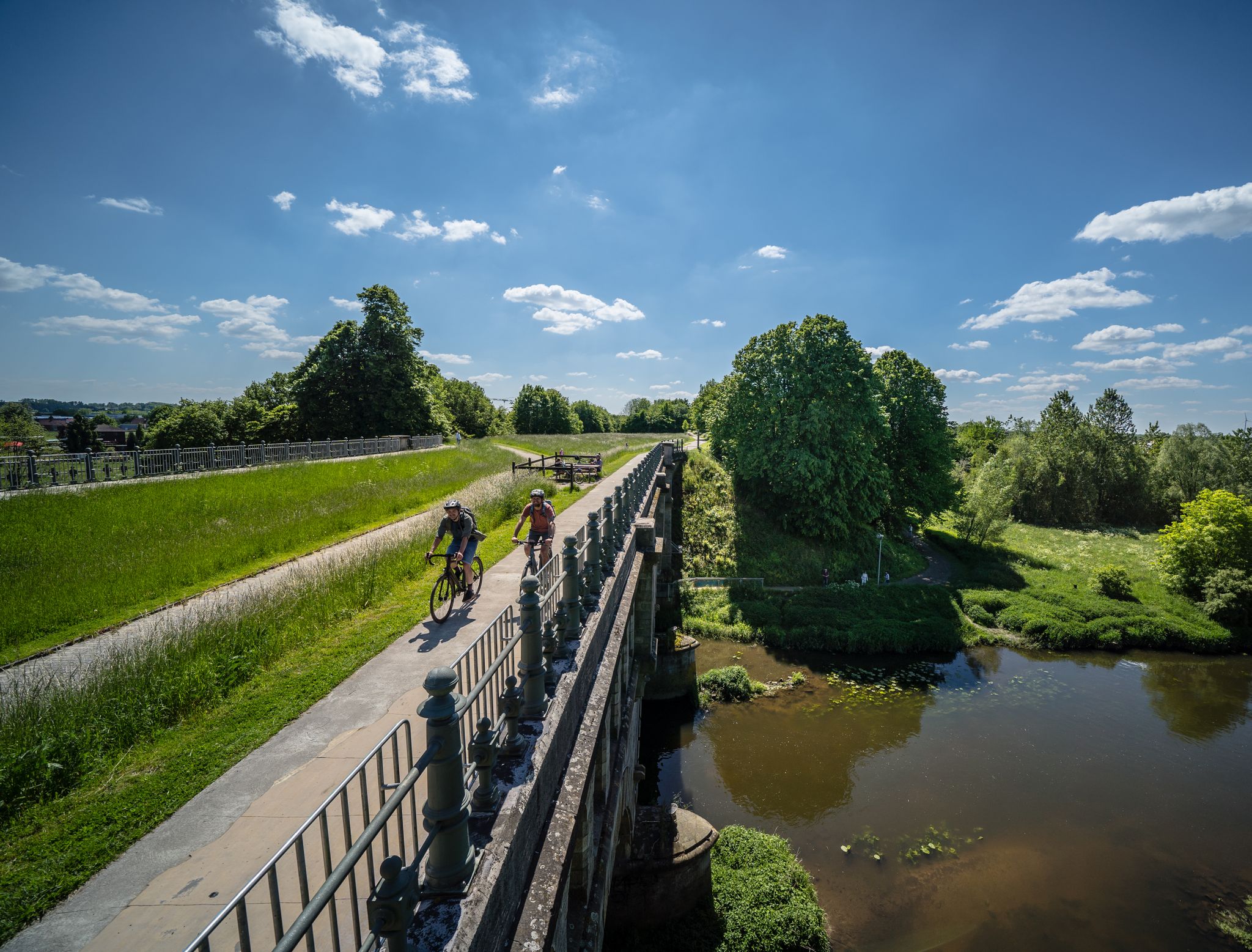
Germany’s Hohe Mark cycle route – escape into nature
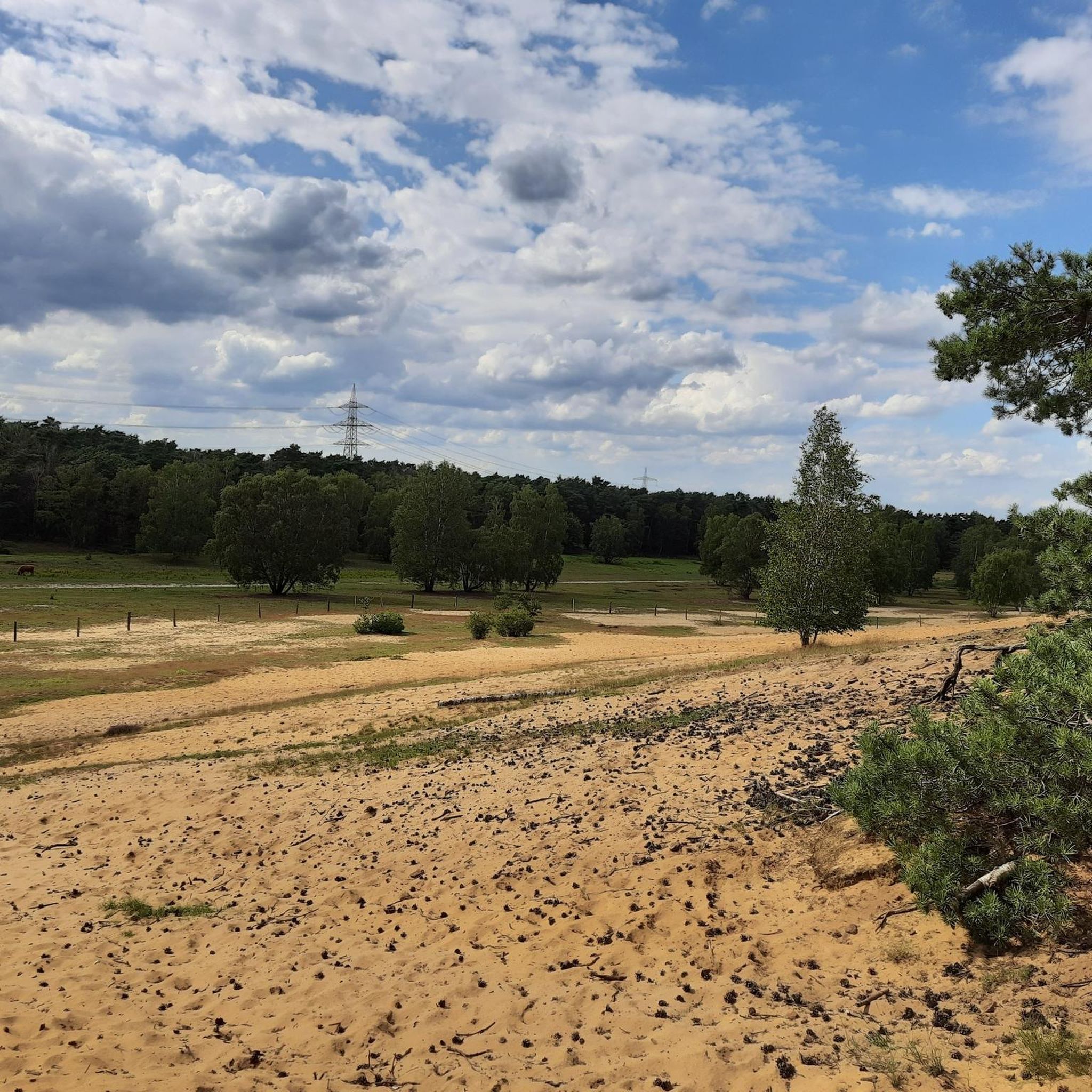
Road Cycling Routes around Die Die Berge
MTB Trails around Die Die Berge
Gravel biking around Die Die Berge
Cycling around Die Die Berge
Running Trails around Die Die Berge
Other adventures around Die Die Berge

Tips from the Community

One of the 5 summits from the LandStreifer „die Berge“ tour. Worth a visit 😀
0
0
One of the 5 peaks of the LandStreifer „die Berge“. Worth a visit 😀
0
0

On the Tannenbültenberg, there is a large, round clearing at the summit that is kept free of vegetation. This area is suitable for taking a break with a larger group or for meeting up to start your hikes from here.
4
0

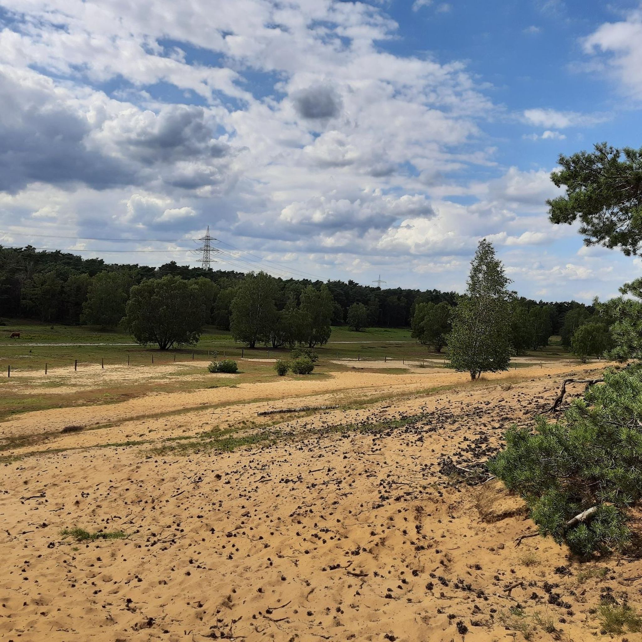
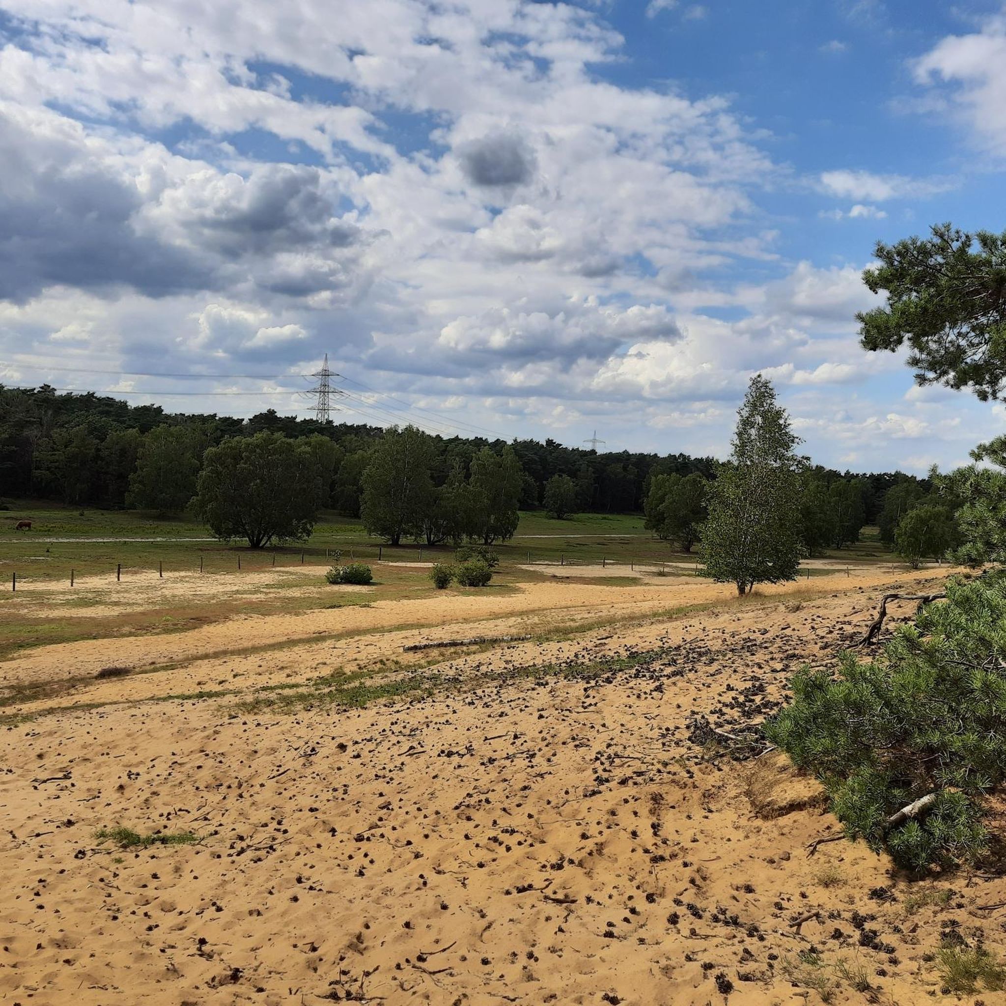
Fliegerberg is the highest hill in the Münsterland region. It was formerly a glider airfield and a Bundeswehr (German Federal Armed Forces) training area. The view extends as far as Borken and its church steeple, and you can also see Highland cattle. The soil is very sandy.
1
0
A large parking area for hikers with a shelter and seating. Information panels about the Hohe Mark Nature Park are also available.
0
0

A quiet parking area at the edge of the forest, ideal as a starting point for walks and hikes towards the Ramsdorf Forest. Information boards on site provide a good overview of trails and points of interest. Seating is available, but there are no waste disposal facilities – please take your rubbish with you.
0
0

The mill is a large building located on the Aa.
3
0

A nice place for a short break ☺️
0
0
Frequently Asked Questions
Where exactly is the Die Die Berge region located?
The Die Die Berge region is situated in Kreis Borken, Germany. It's characterized by its lush woodlands, rolling hills, and open meadows, offering a diverse natural landscape for hiking.
How many hiking trails can I find in Die Die Berge?
There are over 60 hiking routes available in Die Die Berge, catering to various preferences. The majority are easy to moderate, making the area accessible for many hikers.
Are there any easy hiking trails suitable for beginners or families with children?
Yes, Die Die Berge offers numerous easy trails. Over 50 routes are classified as easy, with generally low elevation gains. A good option for a gentle walk is the Tannenbültenberg (1,038 m) – Tannenbülten Summit Cross loop from Velen-Tannenbültenberg, which is about 2.9 miles (4.7 km) long and leads through woodlands.
What kind of natural features or attractions can I expect to see along the trails?
Hikers in Die Die Berge can enjoy diverse natural features. You might encounter open meadows, dense forests, and points of interest like the Fliegerberg Meadow, where you can sometimes spot Highland Cattle. The Tannenbülten Summit Cross offers a notable landmark within the woodlands.
Are there any circular hiking routes in Die Die Berge?
Yes, many trails in Die Die Berge are designed as circular routes, allowing you to start and end at the same point. For example, the Fliegerberg – Fliegerberg Meadow loop from Knüverdarp is a moderate 6.2-mile (10.0 km) circular path that offers views across meadows and forested sections.
Can I bring my dog on the hiking trails in Die Die Berge?
Generally, dogs are welcome on hiking trails in Die Die Berge. The region's extensive network of paths through woodlands and open areas provides ample space for walks with your canine companion. Always ensure your dog is leashed and follow local regulations, especially in nature reserve areas.
What do other hikers say about their experience in Die Die Berge?
The hiking routes in Die Die Berge are highly regarded by the komoot community, with an average rating of 4.6 stars from over 290 reviews. Hikers often praise the region's accessible paths, lush forests, and the variety of routes suitable for different ability levels.
Are there any challenging or difficult routes for experienced hikers?
While the name 'Die Die Berge' suggests mountains, the region primarily offers easy to moderate trails with generally low elevation gains. There are no routes classified as difficult in this specific area, making it more suitable for leisurely walks and moderate excursions rather than challenging mountaineering.
Is there parking available at the trailheads?
Information on specific parking facilities for all trailheads is not universally available in the guide data. However, many popular hiking areas in Germany, especially those near towns or villages like those in Kreis Borken, typically offer designated parking lots or roadside parking options close to trail access points. It's advisable to check individual route details on komoot for specific parking information.
What is the best time of year to go hiking in Die Die Berge?
Die Die Berge offers pleasant hiking experiences throughout much of the year. Spring brings blooming flora and fresh greenery, while autumn showcases vibrant fall colors in the woodlands. Summer is ideal for longer days and warmer weather, and even mild winter days can be suitable for a quiet walk through the serene, frosted landscapes.
Are there any historical sites or monuments to explore while hiking?
Yes, you can discover some historical points of interest. For instance, the De Barge Memorial Stone is a notable man-made monument. Additionally, the Homborn Court Site (Historic Judicial Place) offers a glimpse into the region's past.
Are there any hikes that offer scenic views?
Many of the moderate trails in Die Die Berge provide scenic views, particularly those that traverse open meadows or reach slight elevations. The Fliegerberg – Fliegerberg Meadow loop from Knüverdarp, for example, offers pleasant vistas across open landscapes and through forested sections.
Most popular routes around Die Die Berge
Most popular attractions around Die Die Berge

Get inspired with the komoot mobile app


Explore more
Browse the best Hikes in other regions.
