The best road cycling routes around Waldgebiet Hammerberg
4.3
(1004)
13,565
riders
293
rides
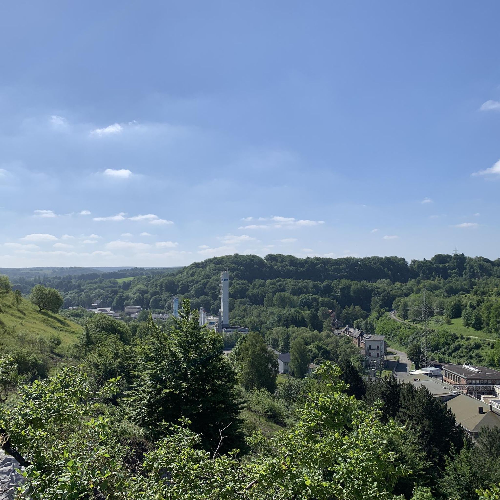
Road cycling routes around Waldgebiet Hammerberg are situated within a protected nature reserve near Stolberg in Städteregion Aachen, Germany. This area is characterized by ancient oak forests, unique heavy metal grasslands, and varied terrain with slight elevation differences. Streams and ponds add to the scenic appeal, providing diverse landscapes for road cyclists.
Best road cycling routes around Waldgebiet Hammerberg
- The most popular road cycling route is Jägerhausstraße Climb – St. Rochus Church in Zweifall loop from Stolberg Altstadt, a 22.6 miles (36.3 km) trail that takes 1 hour 49 minutes to complete. This moderate route features a notable climb and passes through scenic areas near Stolberg Altstadt.
- Another top favourite among local road cyclists is Nütheimer Straße – Vennkreuz Speed Section loop from Stolberg Altstadt, a moderate 34.5 miles (55.5 km) path. This route offers a mix of open roads and a designated speed section.
- Local road cyclists also love the Hochwaldweg at Saubach – Hamicher Weg and Gut Atzenau loop from Stolberg Altstadt, a 25.8 miles (41.6 km) trail leading through dense woodlands, often completed in about 1 hour 51 minutes.
- Road cycling around Waldgebiet Hammerberg is defined by ancient oak forests, heavy metal grasslands, and varied terrain with elevation differences. The network offers options for different ability levels, from moderate to difficult.
- The routes in Waldgebiet Hammerberg are highly rated by the komoot community with an average score of 4.4 stars from over 900 reviews. More than 13,000 road cyclists have used komoot to explore Waldgebiet Hammerberg's varied terrain.
Last updated: July 12, 2026
3.5
(4)
71
riders
Moderate road ride. Good fitness required. Mostly well-paved surfaces and easy to ride.
3.0
(1)
61
riders
55.5km
02:34
570m
570m
Moderate road ride. Good fitness required. Mostly well-paved surfaces and easy to ride.

Sign up for free
5.0
(2)
24
riders
97.6km
04:30
1,000m
1,000m
Hard road ride. Very good fitness required. Mostly well-paved surfaces and easy to ride.
5.0
(2)
24
riders
88.7km
04:08
1,060m
1,060m
Hard road ride. Very good fitness required. Mostly well-paved surfaces and easy to ride.
3.0
(3)
35
riders
Moderate road ride. Good fitness required. Mostly well-paved surfaces and easy to ride.
Get access to more routes and recommendations from other explorers.
Sign up for free
Already have an account?
Our route recommendations are based on thousands of hikes, rides, and runs completed by other people on komoot.
Start today with a free account
Your next adventure awaits.
Login or Signup
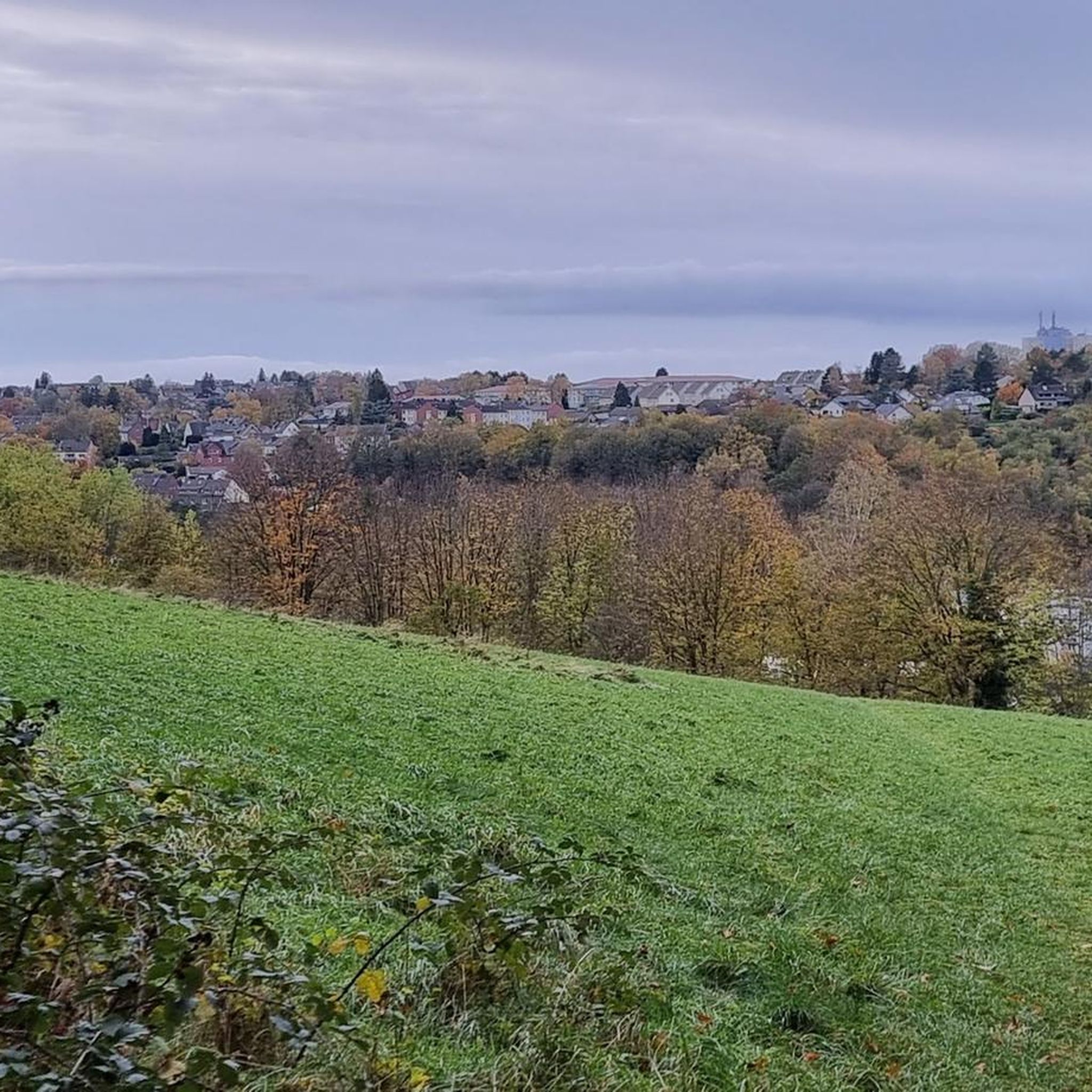
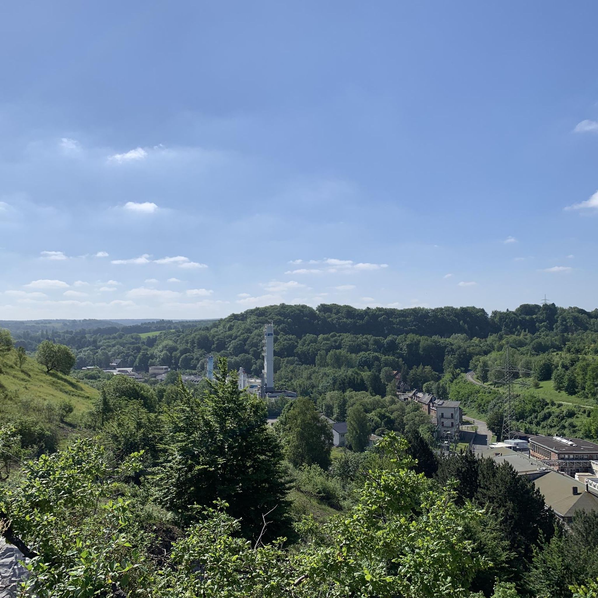
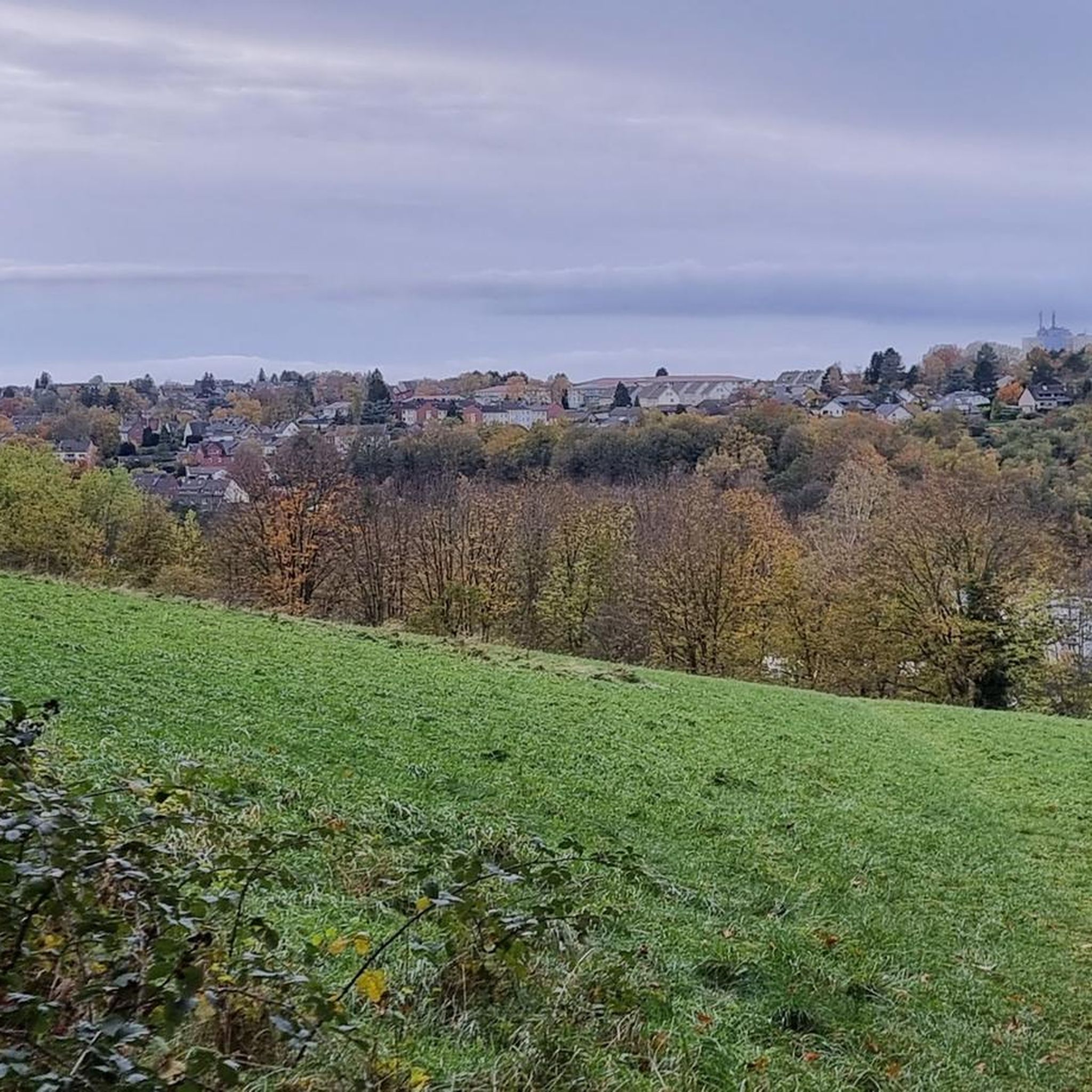
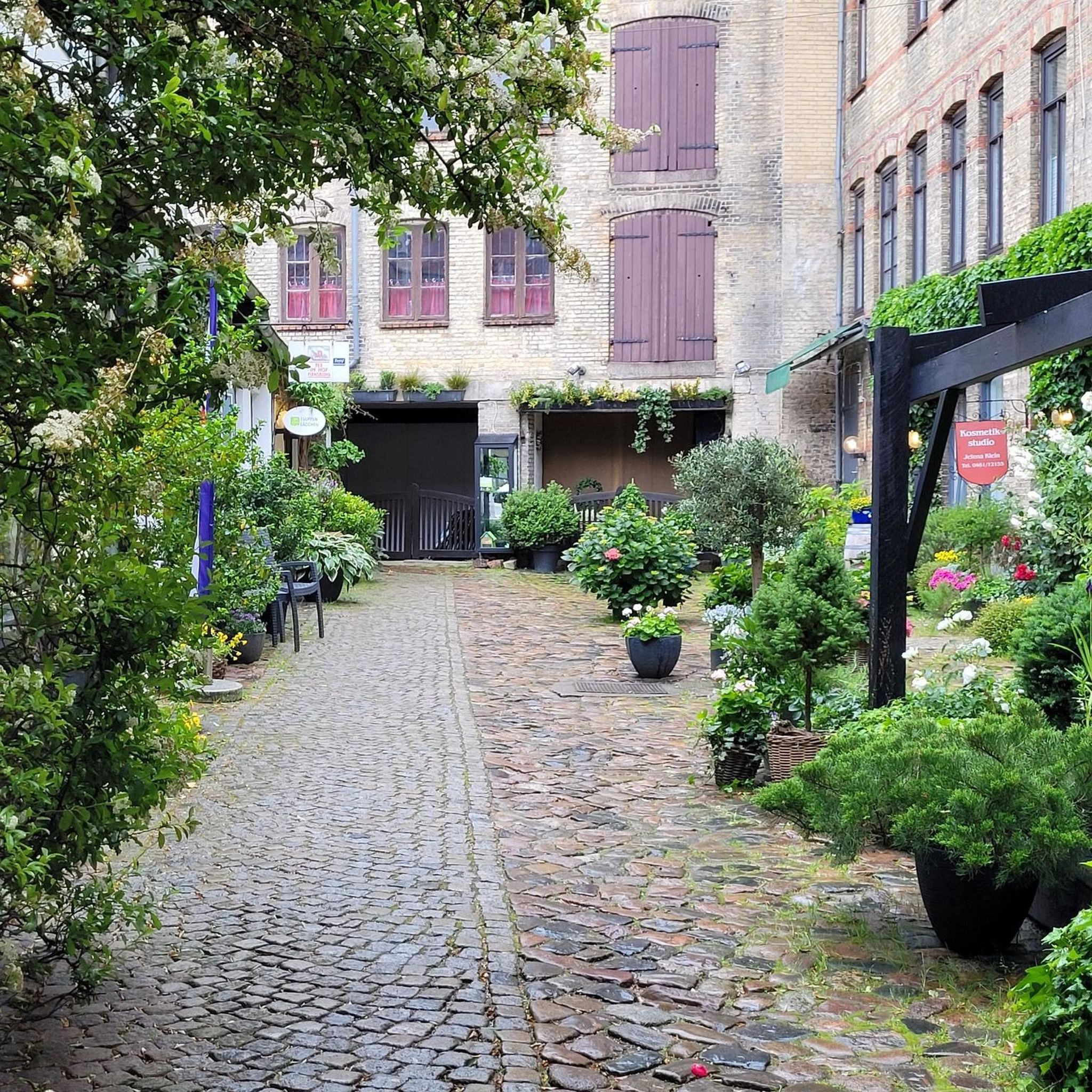
Tips from the Community


In 1348, a squire named "von Hausen" is documented as having come to this area. In the 16th century, the moated castle passed from the noble family "von Hausen" to "von Berg" to Bens. Through inheritance and marriage, the castle came into the possession of Dietrich Kolff, but the Kolff family line died out in 1832. The castle had been repeatedly expanded up to that point and was later divided into two estates. Today it serves as a hotel and restaurant.
0
0

Each of these crosses, which cyclists encounter in villages or across fields, is a symbol of remembrance of the crucifixion, but also of the resurrection of Jesus Christ. “Here on earth, His memory exists, but in the Kingdom of Heaven is His presence: this presence is the joy of those who have already attained salvation. Remembrance is our comfort, we who are still wanderers, traveling towards our homeland.” (Saint Bernard of Clairvaux, founder of a religious order and Doctor of the Church)
1
0

New surface installed some time ago!
0
0

Good ice cream parlor in Merken
0
0

The castle and the surrounding small streets are really worth seeing and a must when visiting Stolberg.
17
0

A long and varied climb from Heimbach to Schmidt. The first few kilometers are very steep. After that, it flattens out. In Schmidt, the gradient increases slightly again in the final kilometers. Beware: There are many motorcyclists on the road on weekends.
1
0

Frequently Asked Questions
How many road cycling routes are available in Waldgebiet Hammerberg?
There are over 250 road cycling routes in Waldgebiet Hammerberg, offering a wide range of options for different skill levels and preferences. You can find routes varying from easy to difficult, with many moderate options in between.
What kind of terrain can I expect when road cycling in Waldgebiet Hammerberg?
The Waldgebiet Hammerberg area features varied terrain with slight elevation differences, making it engaging for different fitness levels. You'll encounter extensive old oak forests, unique heavy metal grasslands, and scenic views that include streams and ponds. While routes are generally well-maintained for road cycling, some segments might present more challenging surfaces.
Are there routes suitable for beginners or those looking for an easy ride?
Yes, Waldgebiet Hammerberg offers a good selection of routes suitable for beginners or those preferring an easier pace. Approximately 65 routes are classified as easy, providing a gentle introduction to road cycling in the region. These routes typically have less significant elevation changes and well-paved surfaces.
What are the options for more experienced road cyclists seeking a challenge?
For experienced road cyclists, Waldgebiet Hammerberg provides challenging routes with significant elevation changes. There are 36 routes classified as difficult, such as the View of the Dreilägerbach Dam – Vesdre Dam loop, which covers nearly 100 km and features almost 1000 meters of ascent. Another demanding option is the Schevenhütter Straße Ascent – View of Rursee loop, offering over 1000 meters of climbing.
What natural features or landmarks can I see along the road cycling routes?
Road cycling routes in Waldgebiet Hammerberg often traverse through the protected natural areas, offering picturesque views of ancient oak forests, unique heavy metal grasslands, and bodies of water like streams and ponds. The region is part of a nature reserve (Naturschutzgebiet Hammerberg) known for its distinct flora and fauna. While specific highlights are not detailed in the provided data, the natural beauty of the protected environment is a key attraction.
What is the best time of year to go road cycling in Waldgebiet Hammerberg?
The best time for road cycling in Waldgebiet Hammerberg is generally during the spring, summer, and autumn months when the weather is milder and the natural landscapes are at their most vibrant. The extensive old oak forests provide shaded routes, which can be particularly pleasant during warmer periods. Winter cycling might be possible, but conditions can be more challenging due to colder temperatures and potential for ice or snow.
Are there any circular road cycling routes available?
Yes, many of the road cycling routes in Waldgebiet Hammerberg are designed as loops, allowing you to start and end at the same point. Examples include the popular Jägerhausstraße Climb – St. Rochus Church in Zweifall loop and the Nütheimer Straße – Vennkreuz Speed Section loop, both starting from Stolberg Altstadt.
What do other road cyclists say about their experience in Waldgebiet Hammerberg?
The road cycling experience in Waldgebiet Hammerberg is highly rated by the komoot community, with an average score of 4.4 stars from over 900 reviews. Cyclists often praise the diverse landscapes, the engaging varied terrain, and the opportunity to ride through protected natural environments like ancient oak forests and unique grasslands.
Is public transport available to access the road cycling routes?
The region around Waldgebiet Hammerberg, particularly near Stolberg Altstadt, is generally accessible. While specific public transport links for cyclists are not detailed, Stolberg is a town with public transport connections, which could serve as a starting point for many routes. It's advisable to check local public transport schedules for routes to Stolberg or other nearby access points.
Are there parking facilities available for road cyclists?
While specific parking facilities are not detailed in the provided information, starting points for many routes, such as Stolberg Altstadt, typically offer parking options. As a popular outdoor destination, you can generally expect to find parking in or near the main access points to the Waldgebiet Hammerberg area.
Can I find cafes or pubs along the road cycling routes?
The region around Waldgebiet Hammerberg, being close to towns like Stolberg, offers opportunities to find cafes and pubs. While specific establishments on the routes are not listed, many routes will pass through or near villages and towns where you can stop for refreshments. Planning your route with komoot can help identify such amenities along your chosen path.
Most popular routes around Waldgebiet Hammerberg

Get inspired with the komoot mobile app


Explore more
Browse the best Road cycling routes in other regions.
