The best MTB trails around Waldgebiet Hammerberg
4.5
(1806)
5,325
riders
394
rides
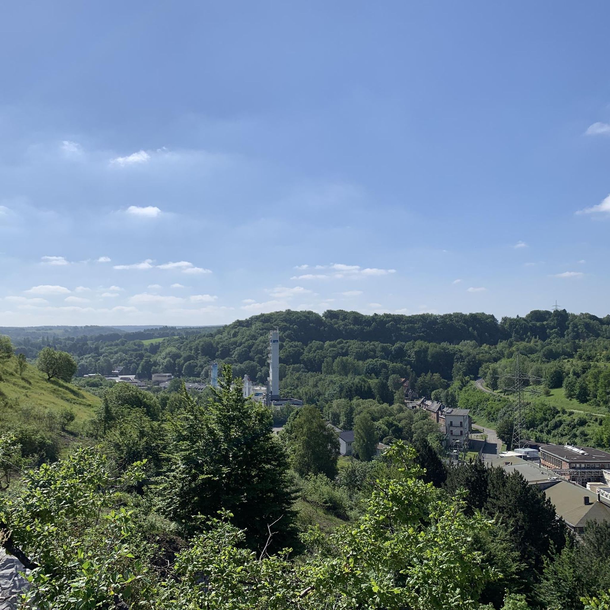
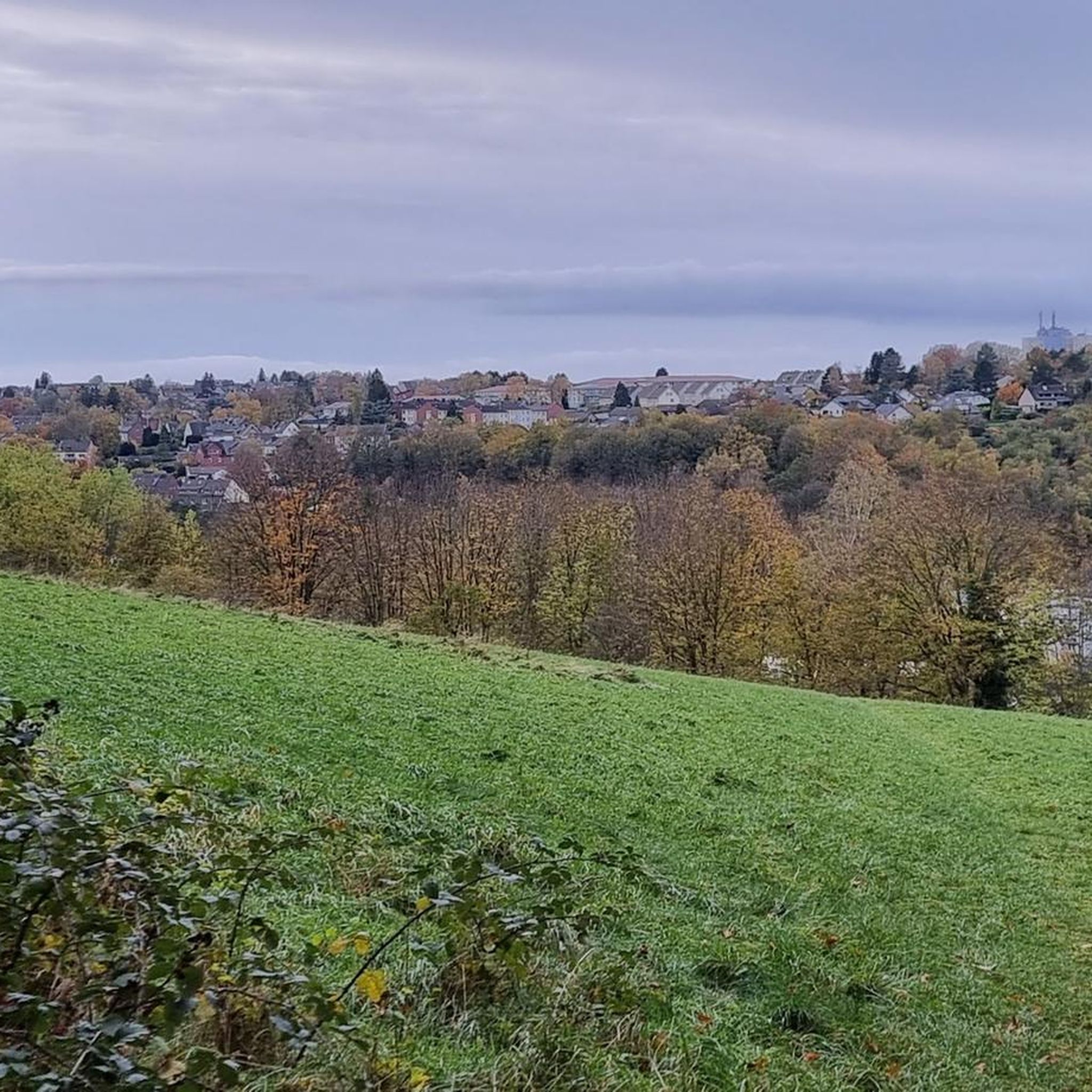
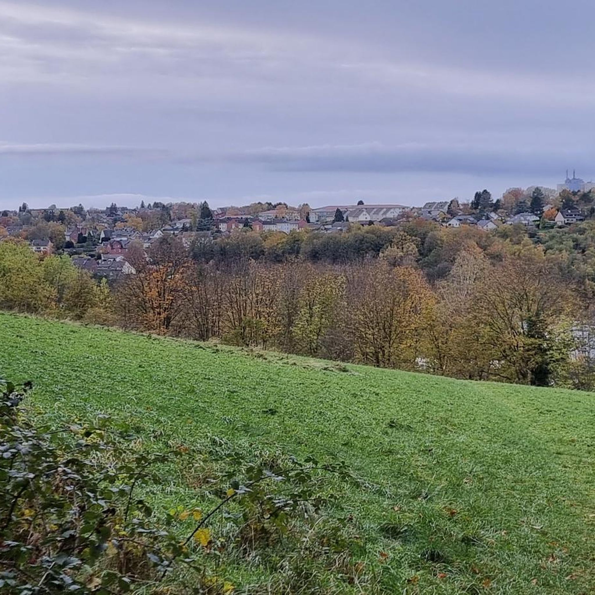
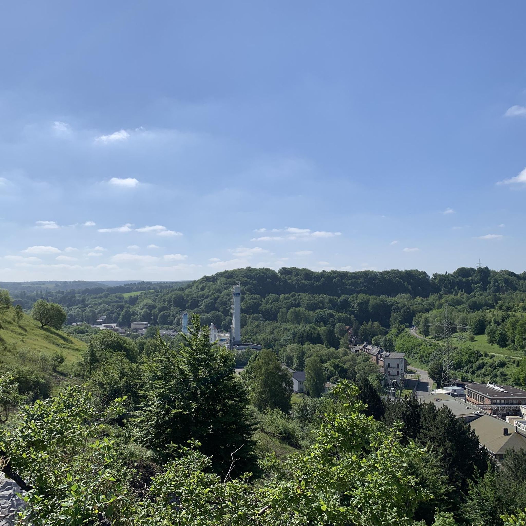
Mountain biking around Waldgebiet Hammerberg offers diverse terrain within the Städteregion Aachen, Germany. The area features slight elevation differences, extensive forest areas, and numerous streams and ponds. Riders can navigate through unique heavy metal grasslands and old oak forests, providing a varied riding backdrop. The network of mountain bike trails Waldgebiet Hammerberg provides options for different fitness levels.
Best mountain bike trails around Waldgebiet Hammerberg
- The most popular mountain bike trail is Dam of the Wehebach dam – Along the…
Last updated: October 1, 2026
4.8
(18)
74
riders
51.1km
03:47
630m
630m
Moderate mountain bike ride. Good fitness required. Suitable for all skill levels.
4.8
(32)
70
riders
47.0km
03:42
610m
610m
Moderate mountain bike ride. Good fitness required. Advanced riding skills necessary.

5.0
(9)
31
riders
60.5km
04:43
920m
920m
Hard mountain bike ride. Very good fitness required. Advanced riding skills necessary.
4.7
(6)
30
riders
55.7km
03:32
520m
520m
Moderate mountain bike ride. Good fitness required. Advanced riding skills necessary.
4.5
(25)
41
riders
51.0km
03:51
690m
690m
Moderate mountain bike ride. Good fitness required. Advanced riding skills necessary.
Get access to more routes and recommendations from other explorers.
Already have an account?
Our route recommendations are based on thousands of hikes, rides, and runs completed by other people on komoot.
Start today with a free account
Your next adventure awaits.
Tips from the Community


You'll find the Kaiserfelsen (Emperor's Rock) right near the dam.
2
0

...nice stopover until Monschau...
1
0


The approach through a water protection zone is attractive in every season.
1
0

Already hiked or cycled past 100 times, but still impressive
1
0

Very good to drive. Towards the north the perfect slope for relaxed driving
1
0

Frequently Asked Questions
How many mountain bike trails are available in Waldgebiet Hammerberg?
Waldgebiet Hammerberg offers a comprehensive network of nearly 400 mountain bike trails. This includes a wide range of options, with 98 easy trails, 248 moderate trails, and 51 difficult trails, catering to various skill levels and preferences.
What kind of terrain can I expect when mountain biking in Waldgebiet Hammerberg?
The terrain in Waldgebiet Hammerberg is notably diverse, featuring slight elevation differences that create an engaging riding experience. You'll navigate through extensive forest areas, encounter numerous streams and ponds, and ride past unique heavy metal grasslands and striking old oak forests. This varied landscape provides both scenic beauty and technical challenges.
Are there any challenging mountain bike routes for experienced riders?
Yes, for experienced riders seeking a challenge, Waldgebiet Hammerberg offers 51 difficult trails. One such demanding route is the Frog Fountain – Kall Reservoir loop from Stolberg Altstadt, which spans 37.6 miles (60.5 km) with significant elevation changes, typically taking around 4 hours 53 minutes to complete.
Are there any moderate mountain bike trails suitable for intermediate riders?
Absolutely. The majority of trails in Waldgebiet Hammerberg, 248 to be exact, are classified as moderate. A popular choice for intermediate riders is the Along the Weiße Wehe – Potato Tree loop from Stolberg Altstadt. This 29.3-mile (47.2 km) path offers varied terrain with slight elevation changes through the forest landscape.
What do other mountain bikers say about the trails in Waldgebiet Hammerberg?
The mountain bike trails in Waldgebiet Hammerberg are highly regarded by the komoot community, boasting an average rating of 4.6 stars from over 1300 reviews. More than 4600 mountain bikers have explored the area, often praising the diverse terrain, the extensive forest areas, and the well-maintained paths that offer options for different ability levels.
Are there any loop mountain bike trails in Waldgebiet Hammerberg?
Yes, many of the mountain bike trails in Waldgebiet Hammerberg are designed as loops. For example, the Dam of the Wehebach dam – Along the Weiße Wehe loop from Stolberg Altstadt is a popular 28.3-mile (45.5 km) route that navigates through diverse forest areas and along water features, offering a complete circular experience.
What are some notable natural features or landmarks I might encounter on the trails?
While riding, you'll experience the region's rich natural setting, including extensive forest areas with old oak forests, numerous streams, and ponds. The Potato Tree – Raeren Station Café loop from Stolberg Altstadt, for instance, takes you through some of these picturesque landscapes. The wider region also features the Schlangenberg Nature Reserve, known for its well-marked paths and beautiful trails.
What is the best time of year to go mountain biking in Waldgebiet Hammerberg?
Waldgebiet Hammerberg is suitable for mountain biking throughout much of the year. The extensive forest areas provide shade during warmer months, and the diverse terrain offers different experiences across seasons. However, spring and autumn often provide the most pleasant conditions with moderate temperatures and vibrant scenery.
Are there any family-friendly mountain bike trails in Waldgebiet Hammerberg?
Yes, with 98 easy trails available, Waldgebiet Hammerberg offers several options suitable for families or those looking for a less strenuous ride. These trails typically feature gentler gradients and well-maintained surfaces, making them enjoyable for a wider range of ages and fitness levels.
Is it possible to reach the mountain bike trails using public transport?
The Waldgebiet Hammerberg area is located within the Städteregion Aachen, which generally has public transport connections. While specific trailheads might require a short ride or walk from the nearest stop, it is often feasible to combine public transport with your mountain biking adventure. It's advisable to check local bus or train schedules to plan your journey to the starting points of the trails.
Are there options for longer mountain bike tours in the area?
Yes, Waldgebiet Hammerberg offers several longer routes for those looking to spend more time on the trails. For example, the Potato Tree – Kall Reservoir loop from Stolberg Altstadt covers 51.5 miles (51.5 km) and typically takes around 4 hours to complete, providing an extensive riding experience through varied landscapes.
Most popular routes around Waldgebiet Hammerberg

Get inspired with the komoot mobile app


Explore more
Browse the best MTB trails in other regions.
