The best road cycling routes around Lithia Springs
4.6
(73)
1,320
riders
16
rides
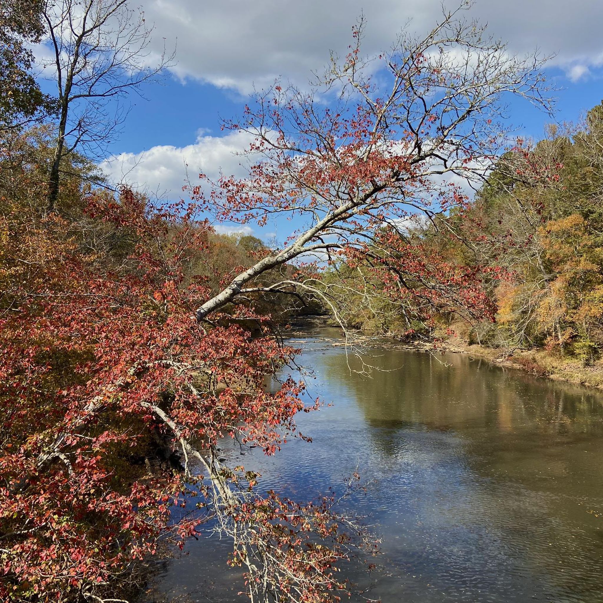
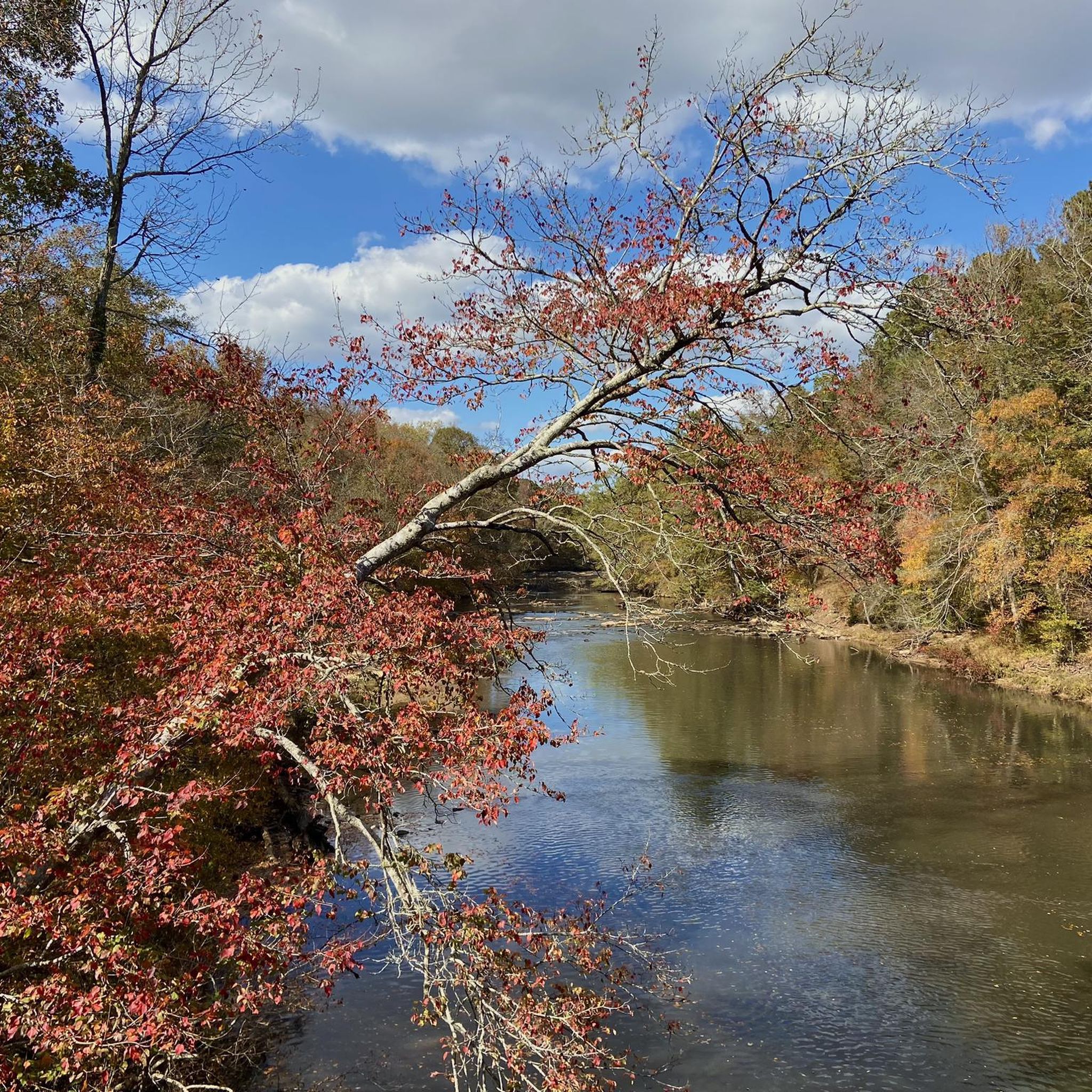
Road cycling routes around Lithia Springs, Georgia, feature varied terrain with rolling hills and scenic country roads. The area is characterized by natural features such as Sweetwater Creek State Park, which includes rugged hills and rocky outcrops. Cyclists can also access connections to broader cycling networks like the Silver Comet Trail, offering diverse riding experiences. This region provides a mix of landscapes suitable for different road cycling preferences.
Best road cycling routes around Lithia Springs
- The most popular road cycling…
Last updated: June 27, 2026
4.9
(8)
292
riders
60.6km
03:06
390m
390m
Moderate road ride. Good fitness required. Mostly well-paved surfaces and easy to ride.
4.8
(34)
229
riders
28.0km
01:16
190m
190m
Easy road ride. Great for any fitness level. Mostly well-paved surfaces and easy to ride.

Sign up for free
4.8
(26)
355
riders
48.3km
02:18
300m
300m
Moderate road ride. Good fitness required. Mostly well-paved surfaces and easy to ride.
5.0
(2)
48
riders
17.5km
00:49
150m
150m
Easy road ride. Great for any fitness level. Mostly well-paved surfaces and easy to ride.
5.0
(1)
79
riders
39.4km
02:06
290m
290m
Moderate road ride. Good fitness required. Mostly well-paved surfaces and easy to ride.
Get access to more routes and recommendations from other explorers.
Sign up for free
Already have an account?
Our route recommendations are based on thousands of hikes, rides, and runs completed by other people on komoot.
Start today with a free account
Your next adventure awaits.
Login or Signup
Popular around Lithia Springs
Tips from the Community


The Silver Comet Trail's Eastern Terminus is in the center of Smyrna. There is no parking or restrooms at the trailhead, but there are many restaurants and stores around. If you want to continue your ride, the trail connects with the Cumberland Connector, which takes you about five miles along the southern outskirts of Smyrna.
0
0
The Pumpkinvine Trestle is a 750-feet-long bridge that takes you over Pumpkinvine Creek. The bridge rises up to 126 feet and gives you great views of the creek and woodland below.
0
0

This quiet, paved rail trail is open to almost all non-motorized uses. Long sections of it wind through forested greenways, making for a really nice ride.
0
0

Downtown Powder Springs, Georgia, is a quaint and vibrant area known for its small-town charm that features a mix of local shops, restaurants, and historic buildings. The town square is a focal point, often hosting events like farmers' markets, concerts, and festivals. The Historic Train Depot, now a community center, and the Seven Springs Museum offer glimpses into the area's past. Powder Springs Park and the nearby Silver Comet Trail provide recreational opportunities, making downtown a hub of activity for both residents and visitors.
0
0
The Silver Comet Trail is a 61.5-mile paved multi-use trail that passes through Cobb, Paulding, and Polk counties. The trail is only open to walkers, runners, hikers, bicyclists, rollerbladers, dog walkers, and is mostly wheelchair accessible; it is a great, car-free way to explore Georgia. The trail starts in Smyrna, Georgia, and ends at the Georgia/Alabama state line. This section goes west from Power Springs toward Hiram.
0
0
Main Street in Dallas, Georgia, is the heart of the city's historic downtown area. Characterized by its charming small-town atmosphere, it features a variety of local businesses, boutiques, and eateries housed in historic buildings. Landmarks like the Dallas Theater and the historic Paulding County Courthouse. Main Street is just a mile and a half north of the Silver Comet Trail, making it a great place to stop when completing an epic ride along this 61.5 mile long trail.
0
0
The Silver Comet Trail is a 61.5-mile paved multi-use trail that passes through Cobb, Paulding, and Polk counties. The trail is only open to walkers, runners, hikers, bicyclists, rollerbladers, horses, dog walkers, and is mostly wheelchair accessible; it is a great, car-free way to explore Georgia. The trail starts in Smyrna, Georgia, and ends at the Georgia/Alabama state line. This section goes from Smyrna to Power Springs.
0
0
Frequently Asked Questions
What kind of terrain can I expect on road cycling routes around Lithia Springs?
Road cycling routes around Lithia Springs feature varied terrain, characterized by rolling hills and scenic country roads. You'll find a mix of landscapes, from the rugged hills and rocky outcrops near Sweetwater Creek State Park to more open stretches, offering diverse riding experiences.
How many road cycling routes are available in the Lithia Springs area?
There are 15 road cycling routes documented around Lithia Springs. These routes cater to various skill levels, including 5 easy, 8 moderate, and 2 difficult options.
Are there any easy road cycling routes suitable for beginners or families?
Yes, there are several easy road cycling routes. A good option is the Silver Comet Trail loop from WellStar Employee Parking, which is a 12.0-mile paved multi-use path. Another easy route is the Power Springs loop from Floyd Road Trailhead, covering 21.6 miles.
What are some of the longer or more challenging road cycling routes in the area?
For a longer and more challenging ride, consider the Dallas – Brushy Mountain Tunnel loop from Floyd Road Trailhead. This moderate route spans 54.4 miles and includes significant elevation changes, with over 590 meters of ascent.
Can I access the Silver Comet Trail from Lithia Springs?
Yes, the Silver Comet Trail, a 61.5-mile paved multi-use trail, is located relatively nearby and is a major draw for cyclists. You can access it via routes like the Silver Comet Trail loop from WellStar Employee Parking. The trail offers a car-free riding experience through Cobb, Paulding, and Polk counties.
What landmarks or points of interest can I see along the road cycling routes?
Many routes offer scenic views and pass by interesting landmarks. Near Sweetwater Creek State Park, you can find the historic New Manchester Mill Ruins and the picturesque Bridge over Sweetwater Creek. Sections of the Silver Comet Trail also offer points of interest.
What do other road cyclists think about the routes in Lithia Springs?
The road cycling routes in Lithia Springs are highly rated by the komoot community, with an average score of 4.4 stars from over 40 reviews. Cyclists often praise the varied terrain, scenic country roads, and the accessibility of multi-use trails like the Silver Comet Trail.
Is Lithia Springs connected to a broader cycling network?
Yes, Lithia Springs benefits from its connection to the broader Georgia cycling network. The Georgia State Bicycle Route 15 (Central) passes directly through the area, providing a long-distance cycling option that stretches from the Florida border north to Acworth.
What is the best time of year for road biking in Lithia Springs?
The region benefits from a mild climate, allowing for year-round cycling. However, spring and fall generally offer the most comfortable temperatures for road biking, with pleasant weather and vibrant natural scenery.
Are there any loop routes available for road cyclists?
Yes, many of the routes around Lithia Springs are designed as loops. Examples include the Dallas – Brushy Mountain Tunnel loop from Floyd Road Trailhead and the Roadbike loop from Powder Springs, offering convenient circular rides.
Are there specific parking options for road cyclists in Lithia Springs?
While specific parking details vary by route, many trailheads and access points, such as the Floyd Road Trailhead or WellStar Employee Parking for the Silver Comet Trail, offer designated parking areas suitable for cyclists. It's advisable to check the starting point of your chosen route for specific parking information.
What are the elevation changes like on road cycling routes in Lithia Springs?
The routes in Lithia Springs feature varied elevation changes due to the rolling hills. For instance, the Dallas – Brushy Mountain Tunnel loop has over 590 meters of ascent, while easier routes like the Silver Comet Trail loop have around 150 meters of elevation gain, catering to different fitness levels.
Most popular attractions around Lithia Springs

Get inspired with the komoot mobile app


Explore more
Browse the best Road cycling routes in other regions.
