The best cycling routes around Lough Gill
4.1
(9)
72
riders
6
rides
Touring cycling routes around Lough Gill traverse a landscape characterized by a large limestone lake, approximately 8 kilometers long, with numerous small islands. The lake is bordered by dense forests such as Hazelwood and Slish Wood, offering varied terrain for cyclists. Routes often feature a mix of paved and unpaved surfaces, with gradual climbs and descents, providing views of the lake and surrounding hills. The region's geography includes prominent natural features like Benbulben and Knocknarea in the distance, shaping the cycling experience.
Best touring cycling routes around Lough Gill
- The most popular touring cycling route is Lough Gill Cycle Route, a 24.9 miles (40 km) trail that takes 2 hours 30 minutes to complete. This route encircles the lake, offering views of its waters and forested shores.
- Another top favourite among local touring cyclists is Slish Wood Lakeside Path, an easy 6.2 miles (10 km) path. This route winds through old oak woodland, providing serene environments and lake views.
- Local touring cyclists also love the Parkes Castle Loop, a 12.4 miles (20 km) trail leading through historic landmarks and lakeside scenery, often completed in about 1 hour 15 minutes.
- Touring cycling around Lough Gill is defined by a large limestone lake, forested shores, and views of distant hills. The network offers options for different ability levels, from easy lakeside paths to routes with gradual climbs.
- The routes in Lough Gill are highly rated by the komoot community with an average score of 4.06 stars from over 9 reviews. More than 70 touring cyclists have used komoot to explore Lough Gill's varied terrain.
Last updated: May 20, 2026
10
riders
57.6km
03:28
420m
420m
Moderate bike ride. Good fitness required. Mostly paved surfaces. Suitable for all skill levels.
4.8
(4)
9
riders
25.3km
01:55
300m
300m
Moderate bike ride. Good fitness required. Mostly paved surfaces. Suitable for all skill levels.

Sign up for free
7
riders
32.1km
02:01
340m
340m
Moderate bike ride. Good fitness required. Mostly paved surfaces. Suitable for all skill levels.
3.0
(1)
9
riders
Easy bike ride. Great for any fitness level. Mostly paved surfaces. Suitable for all skill levels.
4.0
(2)
10
riders
Easy bike ride. Great for any fitness level. Mostly paved surfaces. Suitable for all skill levels.
Our route recommendations are based on thousands of hikes, rides, and runs completed by other people on komoot.
Start today with a free account
Your next adventure awaits.
Login or Signup
Popular around Lough Gill
Tips from the Community

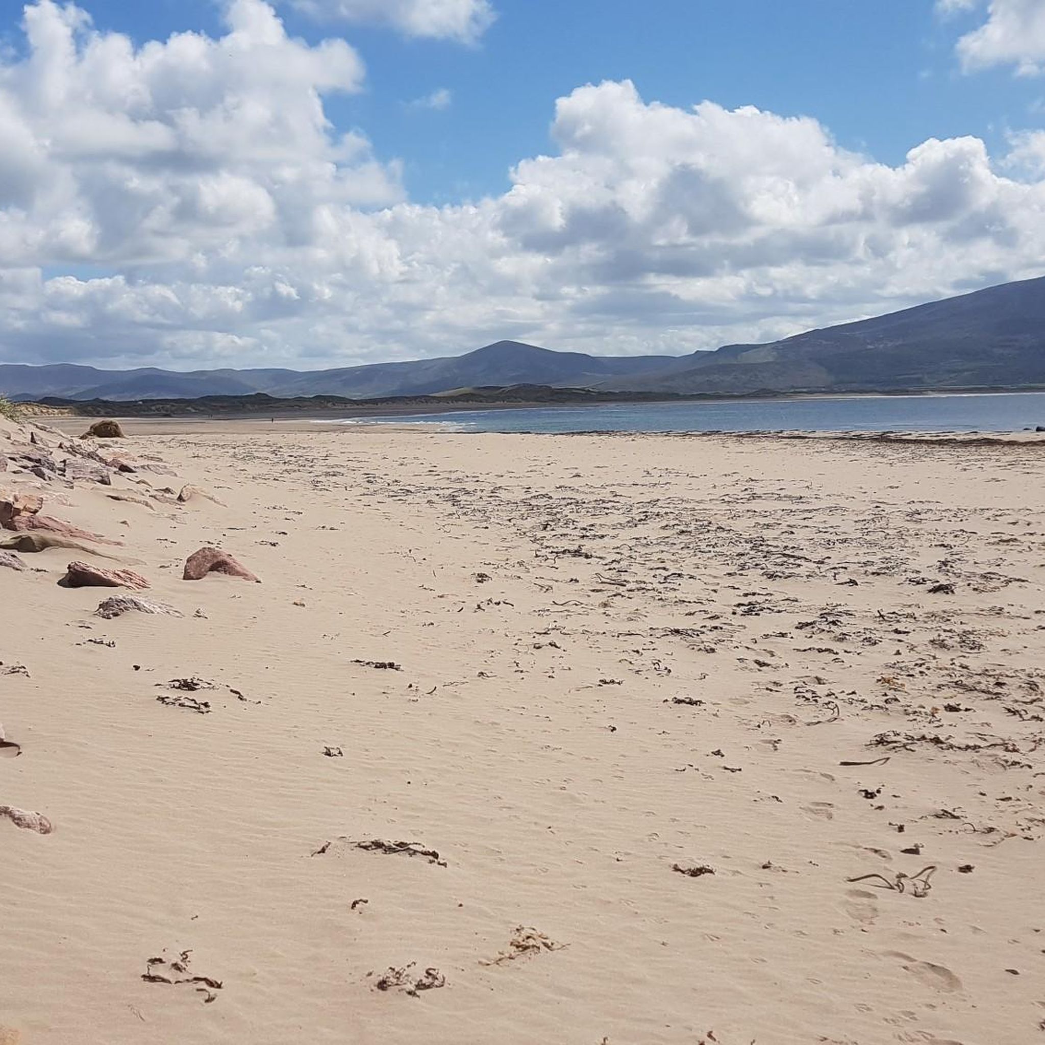
Castlegregory is the main village on the north coast of the Dingle Peninsula and forms a strategic base for cyclists. Located at the foot of the Maharees Peninsula, the village separates the bays of Brandon and Tralee. For passing cyclists, the village offers essential facilities such as a supermarket (Spar), post office, pharmacy, and various catering establishments.
7
0
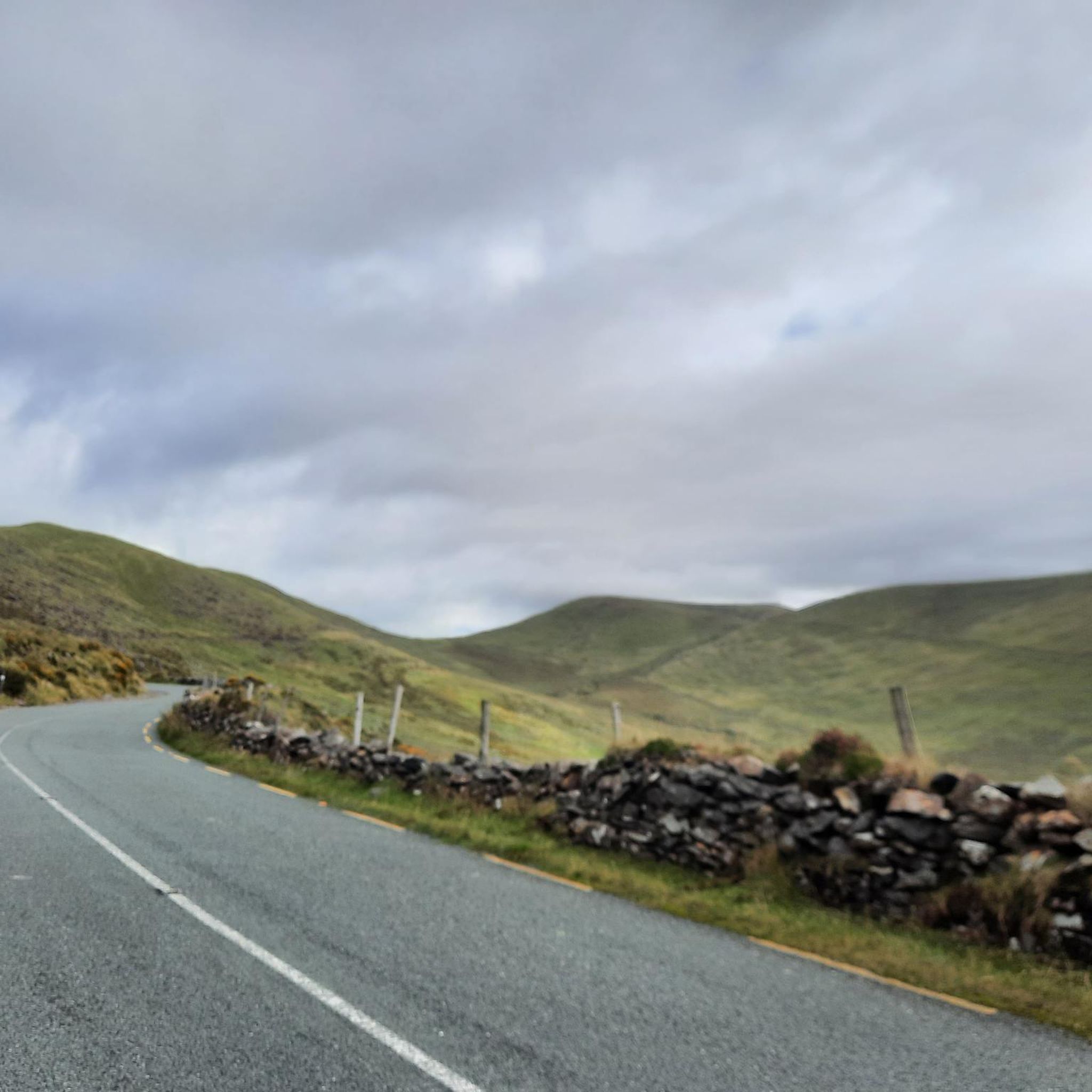
At the top of Sron Bhrón, the landscape opens up to the Atlantic Ocean. The road climbs here along the flank of the mountain, giving you a wide view over the coastline and the open water. A clear, windy point where the height and the sea together let you feel the character of the Dingle coast.
7
0
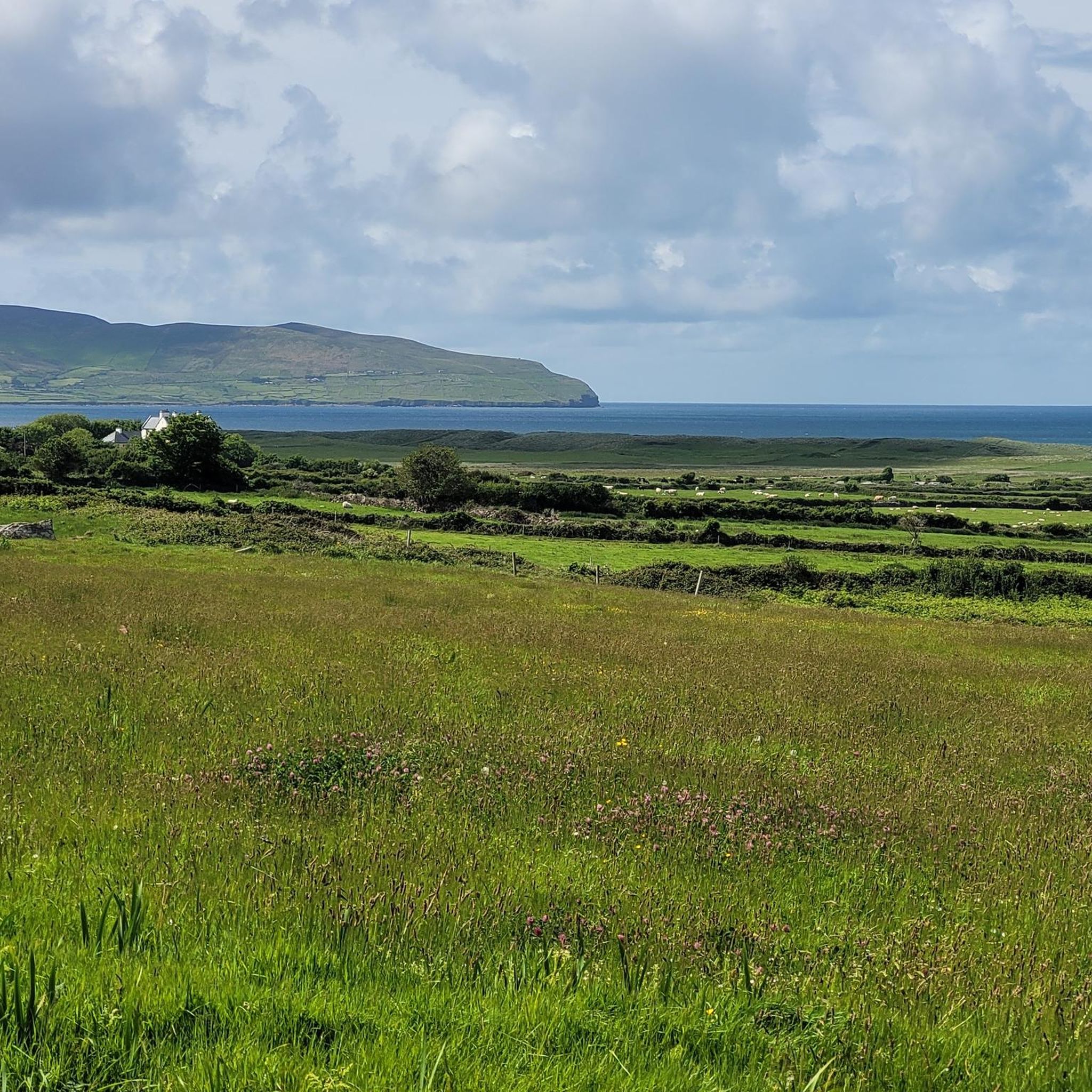
along a coastal road that winds at the foot of Mount Brandon, between low stone walls and small fields where sheep and horses pass. At the end of the road, a path begins that runs along impressive cliffs.
8
0
At this point, the R550 crosses the wide Owenmore River, just before the road turns onto the slopes of Brandon Mountain. The river flows here peacefully towards Brandon Bay, with low banks and open views of the water. A simple but beautiful transition point between the valley and the coastal road.
7
0
Located at the foot of the Magharees Peninsula, Killiney cemetery houses the remains of a 13th-century medieval church and a striking early Christian stone cross. The sandstone cross is almost 3 meters high and stands against the south wall of the modern church. Next to the church ruin stands an overgrown 16th-century residential tower. This location offers a quiet historical resting point along the flatter coastal roads north of the Conor Pass and is an essential part of the local religious heritage on the route between Dingle and Castlegregory.
7
0

This point on Brandon Bay is simply incredible: splendid cliffs and a possible starting point for more or less long treks. From Brandon Point you will be able to see numerous sheep leaning over the abyss and, if you are lucky, also several dolphins swimming undisturbed in the bay below. A car park allows you to leave your car right at this point; just before, a couple of pubs on the marina can provide refreshment at the end of the walk.
2
0

Two Standing Stones in Co. Kerry. - https://www.megalithic.co.uk/article.php?sid=6462
0
0
Killiney Church and the cemetary are located behind the modern Church. Standing against the south wall of the church is the rather impressive 2.86 meter high and 0.49 meter wide stone cross. It is believed there may have been an Early Christian foundation located at this site and the cross is probably all that remains from that early period. There is at least one modern High Cross on the cemetary too. http://www.megalithicireland.com/Killiney%20Stone%20Cross,%20Kerry.html
1
0
Frequently Asked Questions
How many touring cycling routes are available around Lough Gill?
There are several touring cycling routes around Lough Gill, with komoot featuring 6 distinct tours. These routes cater to various skill levels, including 2 easy, 3 moderate, and 1 difficult option, ensuring there's a suitable ride for most cyclists.
What is the best time of year to cycle around Lough Gill?
The best time to cycle around Lough Gill is typically during the spring and summer months (April to September) when the weather is milder and daylight hours are longer. While the region is beautiful year-round, these seasons offer more comfortable cycling conditions and better chances for clear views of the lake and surrounding landscapes.
What kind of terrain can I expect on touring cycling routes around Lough Gill?
Touring cycling routes around Lough Gill feature a varied terrain. You can expect a mix of paved and unpaved surfaces, with gradual climbs and descents. The Lough Gill Cycle Route, for example, includes exhilarating downhill stretches towards the lake and some gradual climbs from Sligo town, offering a dynamic cycling experience through forests and along the lake shore.
Are there any circular touring cycling routes around Lough Gill?
Yes, the most prominent touring cycling route, the Lough Gill Cycle Route, is a pleasurable 40 km loop that encircles the lake. This allows cyclists to start and finish at the same point, offering continuous scenic views without needing to retrace their path.
What notable landmarks or natural features can I see while cycling around Lough Gill?
While cycling around Lough Gill, you'll encounter a wealth of natural beauty and historical sites. Key attractions include the stunning limestone lake itself, the forested shores of Hazelwood, Slish Wood, and Dooney Rock, and the famous Lake Isle of Innisfree. You can also visit the beautifully restored 17th-century Parkes Castle, located directly on the lake's edge, or pass through the charming Dromahair Village.
Are there family-friendly touring cycling routes around Lough Gill?
Yes, there are routes suitable for families. The Slish Wood Lakeside Path is an easy 10 km route that winds through old oak woodland, providing a serene and relatively flat environment perfect for a family outing. These paths often offer a more relaxed experience away from heavy traffic.
Where can I find parking for touring cycling routes around Lough Gill?
Parking is generally available at various access points around Lough Gill, particularly near popular starting points for routes like the Lough Gill Cycle Route. Specific parking areas can be found near Hazelwood, Slish Wood, and Parkes Castle, allowing convenient access to the trails.
Are there cafes, pubs, or accommodation options directly on the touring cycling routes?
Yes, you'll find opportunities to refuel and rest along the routes. Dromahair Village, situated along the Lough Gill Cycle Route, offers pubs and cafes. Additionally, areas like Hazelwood and Slish Wood provide picnic spots. For accommodation, options are available in nearby Sligo town and surrounding villages.
What do other touring cyclists enjoy most about cycling in Lough Gill?
The touring cycling routes around Lough Gill are highly rated by the komoot community, with an average score of 4.06 stars from over 9 reviews. Cyclists often praise the hypnotic views of Lough Gill, the diverse landscapes including dense forests and distant mountains, and the mix of historical landmarks like Parkes Castle with natural beauty. The variety of terrain and options for different skill levels are also frequently highlighted.
Are permits required for cycling around Lough Gill?
Generally, permits are not required for public access to cycle the main touring routes around Lough Gill. However, it's always advisable to respect local signage and private land regulations, especially when venturing off designated paths. For specific details on local regulations, you may consult local tourism information or resources like Irish Heritage News.
Can I access touring cycling routes around Lough Gill using public transport?
Access to Lough Gill's cycling routes via public transport can be somewhat limited, but Sligo town serves as a primary hub. From Sligo, you may find local bus services that can get you closer to certain starting points around the lake. It's recommended to check current bus schedules and policies regarding bicycles in advance.
Are there any easy touring cycling routes for beginners around Lough Gill?
Absolutely. For beginners or those seeking a more relaxed ride, the Slish Wood Lakeside Path is an excellent choice. It's an easy 10 km path winding through serene oak woodland with beautiful lake views, offering a gentle introduction to touring cycling in the area.
What are the main natural features of Lough Gill that make it ideal for touring cycling?
Lough Gill's appeal for touring cycling stems from its stunning natural features: a large limestone lake adorned with islands, surrounded by dense, ancient forests like Hazelwood and Slish Wood. The routes offer continuous views of the lake and glimpses of distant mountains like Benbulben and Knocknarea, providing a picturesque and inspiring backdrop for your ride.

Get inspired with the komoot mobile app


Explore more
Browse the best Cycling routes in other regions.
