The best mountain hikes around Isar-Stausee Tölz
4.4
(365)
3,198
hikers
71
hikes
Mountaineering routes around Isar-Stausee Tölz traverse a landscape characterized by the Isar river, its reservoir, and surrounding peaks such as Blomberg and Zwiesel. The region features varied terrain, from forested slopes to open mountain ridges, offering diverse ascents and panoramic views. This area provides a range of mountaineering experiences, with routes that include significant elevation gains and technical sections.
Best mountaineering routes around Isar-Stausee Tölz
- The most popular mountaineering route is Blomberg Cross – Blomberghaus Mountain Inn loop from Bad…
Last updated: October 8, 2026
4.5
(6)
58
hikers
15.2km
05:01
640m
640m
Hard mountaineering route. Very good fitness required. Mostly accessible paths. Sure-footedness required.
4.6
(7)
40
hikers
17.2km
05:46
730m
730m
Hard mountaineering route. Very good fitness required. Mostly accessible paths. Sure-footedness required.

4.6
(14)
121
hikers
Hard mountaineering route. Very good fitness required. Mostly accessible paths. Sure-footedness required.
3.2
(44)
159
hikers
Moderate mountaineering route. Good fitness required. Mostly accessible paths. Sure-footedness required.
3.9
(36)
214
hikers
Moderate mountaineering route. Good fitness required. Mostly accessible paths. Sure-footedness required.
Get access to more routes and recommendations from other explorers.
Already have an account?
Our route recommendations are based on thousands of hikes, rides, and runs completed by other people on komoot.
Start today with a free account
Your next adventure awaits.
Tips from the Community

The "Bridge of Humanity" stands near the Blomberghaus. From the bridge, intended to connect people's hearts, softwood poles extend to all continents. Artist Marco Paulo (center, with hat) created the structure together with young asylum seekers (right and left). The hiking trail is maintained by the Tölzer Land Art Association, chaired by Patrizia Zewe (center, with umbrella). City Councilor Margot Kirste (center, black dress) is the patron.
0
0
The Zwiesel, also known as the Zwieselberg, is a 1,348 m above sea level mountain in the Bavarian Alps near Bad Tölz. The mountain can be reached via an easy hike with a 620 m ascent from the Waldherralm car park in Wackersberg. The Zwiesel is located in the immediate vicinity of the Blomberg.
0
0

The tour begins at the Waldherralm Wackersberg car park behind the "Lehen" district. The path has beautiful views and a snack/meal at the Blomberghaus is worth recommending. The climb up to Blomberg is quite steep. But the effort is rewarded with a view of 3 peaks (Heigelkopf, Blomberg Ostgipfel, Zwiesel). On the descent from Zwiesel we deviated from the steep path downhill about 1100m after the summit cross and took a small, flatter detour along a farm track, as can be seen on our tour map.
0
0

In good weather good view very nice there
0
0
Something strange: a bridge in the middle of the forest that leads over nothing.
0
0

The east summit (1237 m) near the cable car station with viewing platform.
2
0
Beautiful view of the valley.
4
1

Nice cookie...no more, no less
0
0
Frequently Asked Questions
How many mountaineering routes are available around Isar-Stausee Tölz?
There are over 75 mountaineering routes to explore around Isar-Stausee Tölz, catering to various skill levels from easy to difficult.
What do other mountaineers say about the routes in Isar-Stausee Tölz?
The mountaineering routes in Isar-Stausee Tölz are highly rated by the komoot community, with an average score of 4.4 stars from over 320 reviews. Users often praise the diverse terrain, panoramic views, and well-maintained paths.
Are there easy mountaineering routes suitable for beginners?
Yes, there are a few easy mountaineering routes available. While many routes involve significant elevation, beginners can find suitable options. For example, you might consider exploring sections that offer gentler ascents and focus on the scenic beauty of the Isar valley.
What are some challenging mountaineering routes in the area?
For those seeking a challenge, routes like the Zwiesel Summit – Heiglkopf Summit (1,218 m) loop from Landkreis Bad Tölz-Wolfratshausen offer substantial elevation gain and technical sections. Another demanding option is the View of Bad Tölz – Zwiesel Summit loop from Bad Tölz, which provides extensive vistas over Bad Tölz after a challenging ascent.
Can I find circular mountaineering routes around Isar-Stausee Tölz?
Many of the mountaineering routes around Isar-Stausee Tölz are designed as loops, allowing you to start and end at the same point. An example is the Bridge of Humanity – Blomberg Summit (1,248 m) loop from Landkreis Bad Tölz-Wolfratshausen, which offers a rewarding circular experience.
How long do mountaineering routes typically take around Isar-Stausee Tölz?
The duration of mountaineering routes varies significantly based on distance and difficulty. For instance, a moderate route like the Blomberg Cross – Blomberghaus Mountain Inn loop from Bad Tölz typically takes around 4 hours 54 minutes, while more challenging routes can extend to 6 hours or more.
What interesting sights can I see along the mountaineering routes?
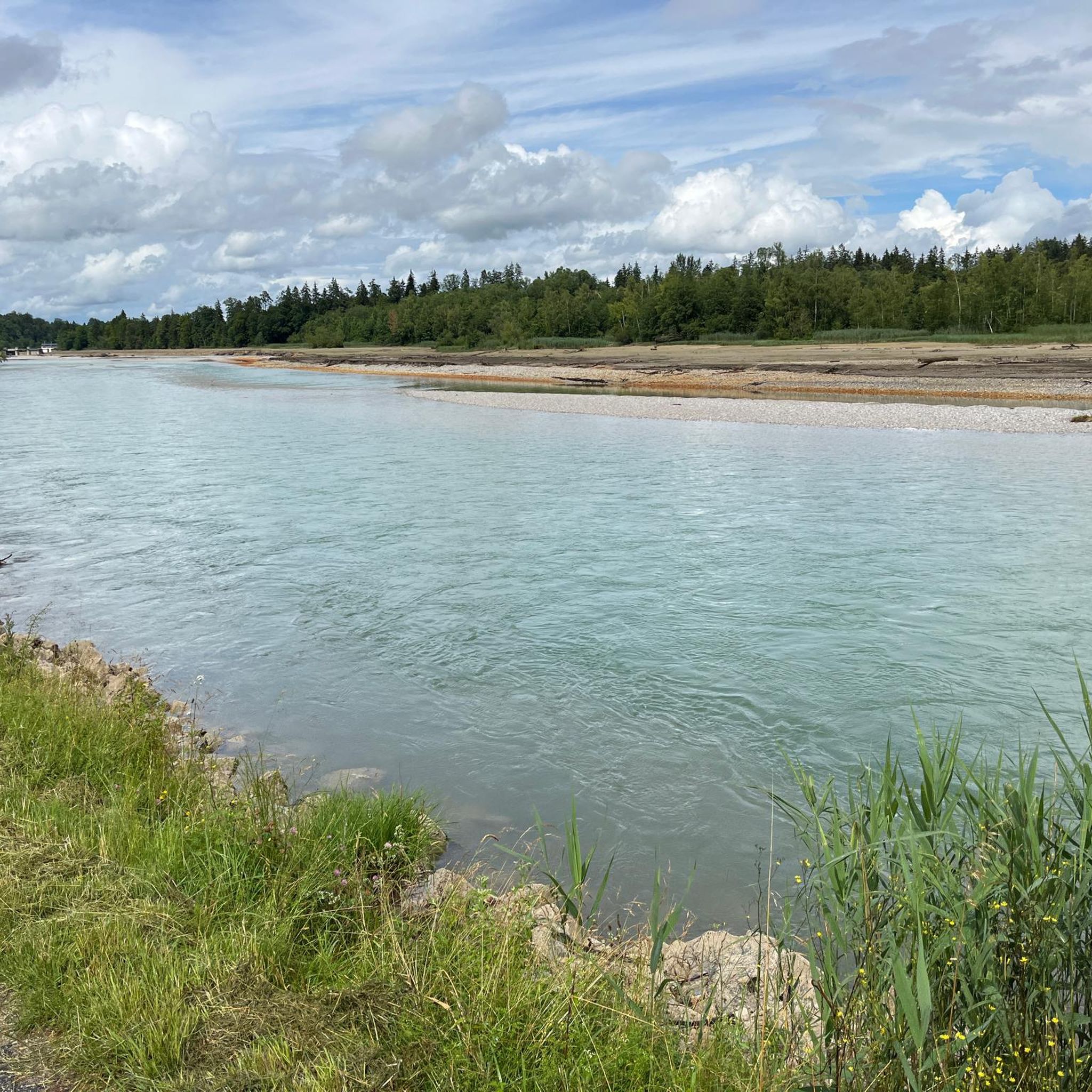
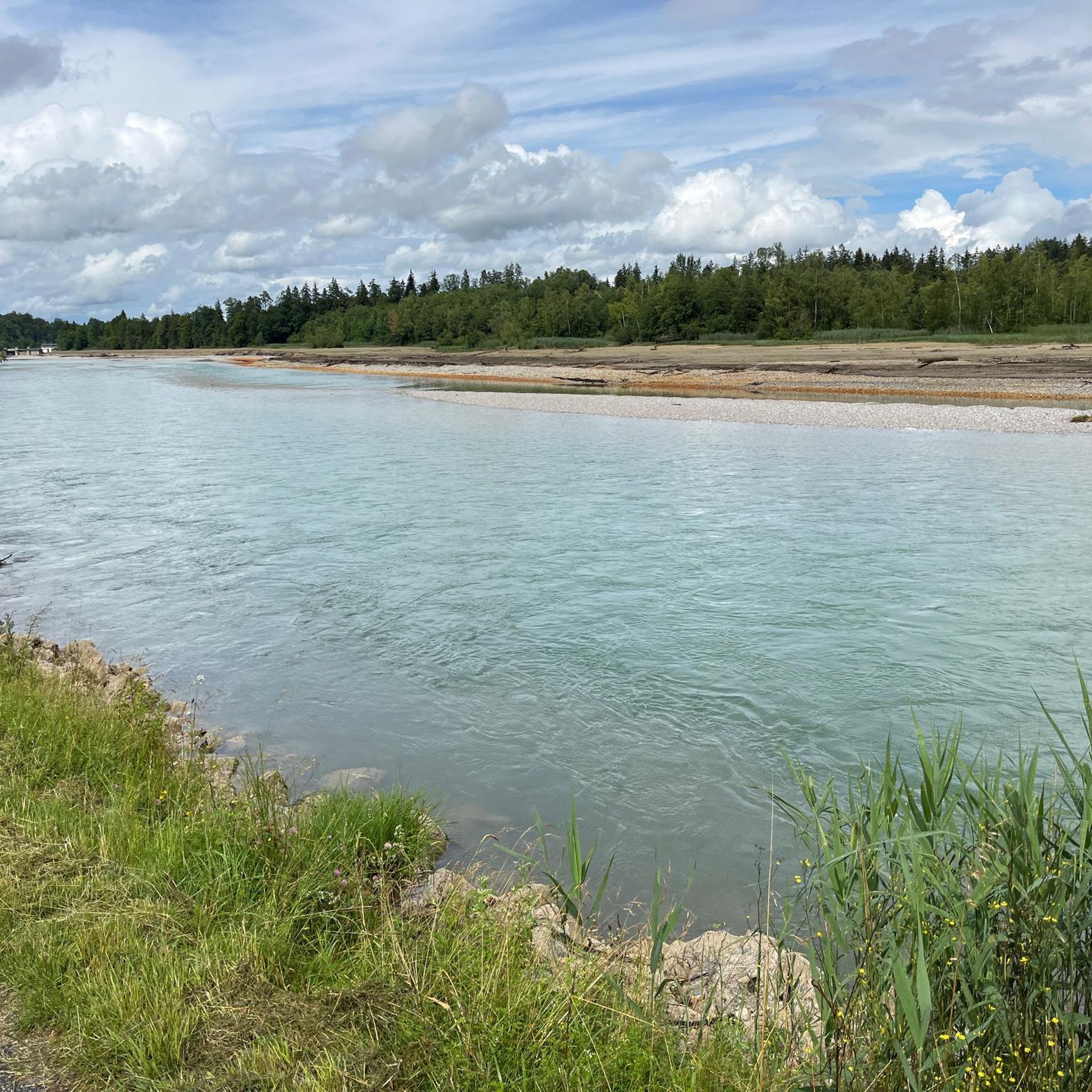
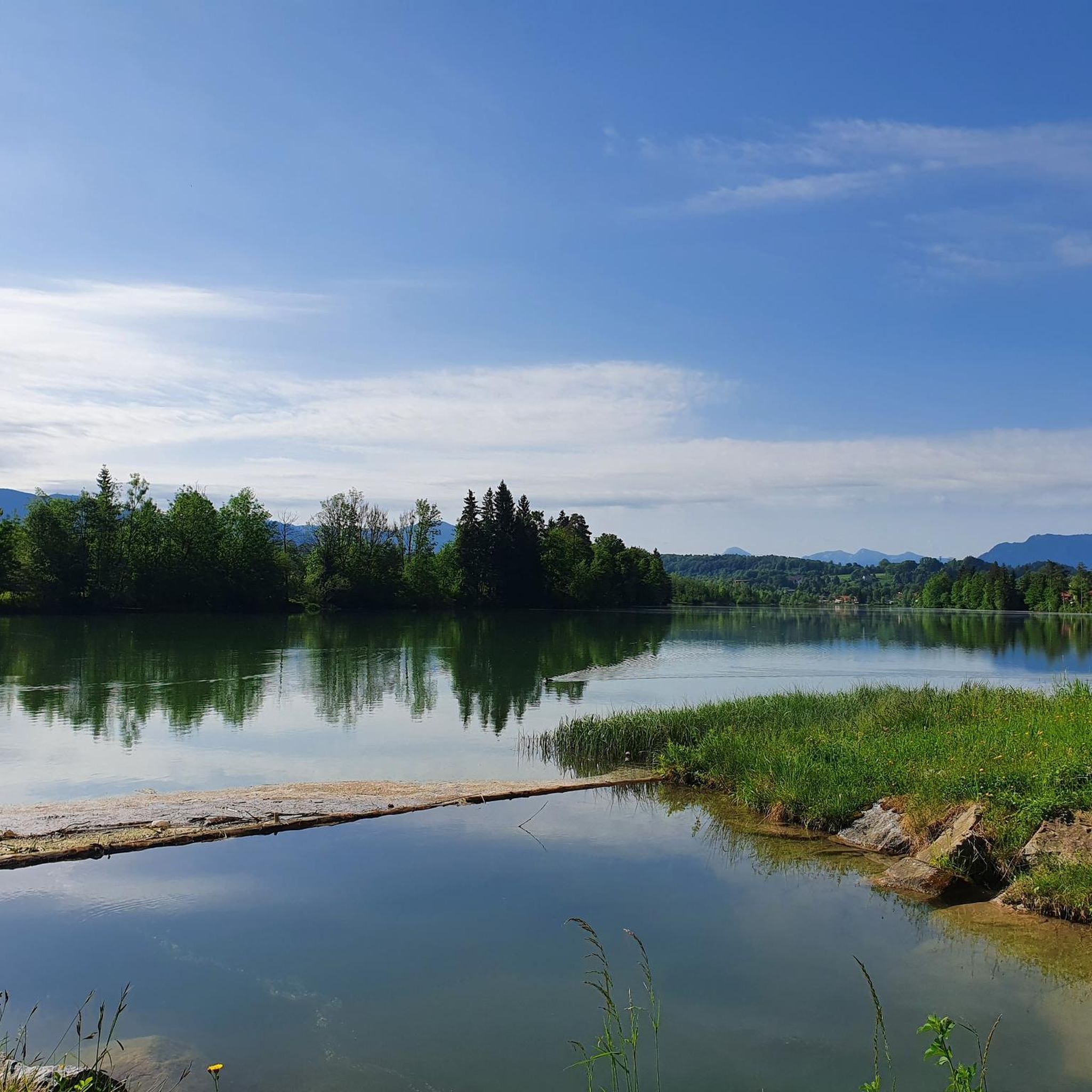
Along the mountaineering routes, you can discover several points of interest. The region is characterized by the Isar river and its reservoir. You might encounter the Isar Hydroelectric Power Plant, the Fish ladder at the Isar Dam, or enjoy views of the Isar Reservoir itself.
Are the mountaineering routes around Isar-Stausee Tölz suitable for families?
While many mountaineering routes in this region involve significant elevation and can be challenging, some sections or shorter, easier routes might be suitable for families with older, experienced children. Always check the route's difficulty and length before setting out with children.
Can I bring my dog on the mountaineering trails?
Generally, dogs are welcome on many trails in the Isar-Stausee Tölz region. However, it's always advisable to keep them on a leash, especially in forested areas, near wildlife, or on more technical sections. Be mindful of local regulations and ensure your dog is fit for the terrain.
Are there any cafes or pubs near the mountaineering routes for a break?
Yes, you'll find various opportunities for refreshments. Many routes pass by or are close to mountain inns (Berghütten) or traditional Bavarian pubs in nearby towns like Bad Tölz, where you can enjoy a meal or a drink after your hike.
What is the best season for mountaineering around Isar-Stausee Tölz?
The best season for mountaineering around Isar-Stausee Tölz is typically from late spring to early autumn (May to October). During this period, the weather is generally more stable, and trails are free of snow, offering optimal conditions for ascents and panoramic views. Always check local weather forecasts before your trip.
Is public transport available to access the mountaineering routes?
Bad Tölz, a central hub for many routes, is accessible by train. From there, local bus services can connect you to various starting points for mountaineering trails around the Isar-Stausee Tölz area. It's recommended to check specific bus schedules for your chosen route's trailhead.
Most popular routes around Isar-Stausee Tölz
Most popular attractions around Isar-Stausee Tölz

Get inspired with the komoot mobile app


Explore more
Browse the best Mountain Hikes & Routes in other regions.
