The best walks and hikes around Isar-Stausee Tölz
4.5
(10891)
59,839
hikers
17
hikes
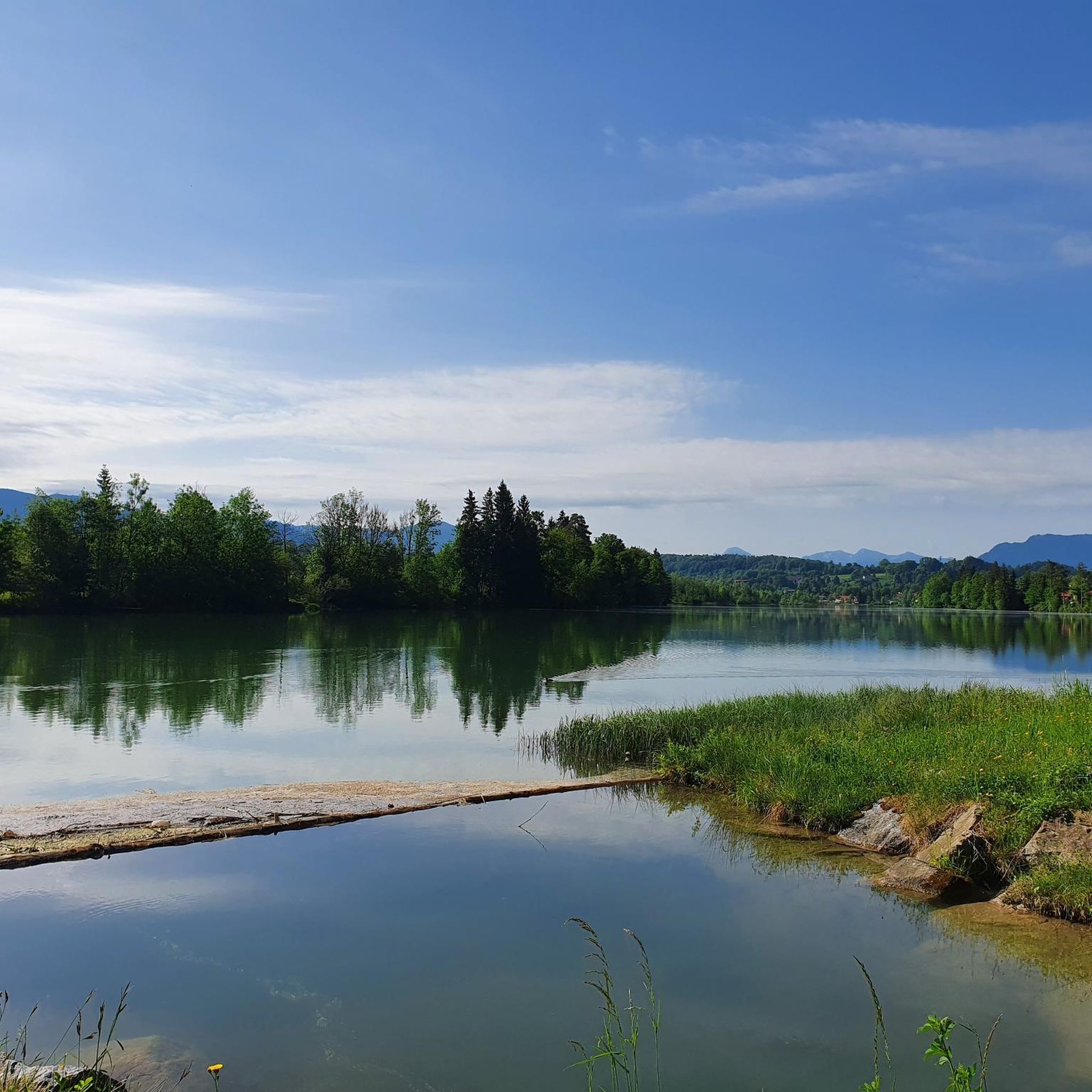
Hiking around Isar-Stausee Tölz offers diverse landscapes centered around the Isar Reservoir and the Isar River, known for its clear waters. The region features lush forests and open meadows, with the broader Isar Valley providing views towards surrounding mountains. The Isar and its floodplains are designated conservation areas, supporting varied flora and fauna. This area provides a range of trails suitable for different fitness levels.
Best hiking trails around Isar-Stausee Tölz
- The most popular hiking route is Iron Bridge over the Isar – Isar Reservoir, Bad Tölz loop from Bad Tölz, a 7.7 miles (12.4 km) trail that takes 3 hours 24 minutes to complete. This moderate route connects the Isar River with the scenic reservoir.
- Another top favourite among local hikers is Ellbacher Moor – Ellbach and Kirchsee Moor loop from Bad Tölz, a moderate 8.5 miles (13.7 km) path. This route explores moorland landscapes and tranquil water bodies.
- Local hikers also love the Zwiesel Summit – View of Bad Tölz loop from Bad Tölz, a 10.6 miles (17.0 km) trail leading through varied terrain with significant elevation gain, often completed in about 5 hours 31 minutes.
- Hiking around Isar-Stausee Tölz is defined by the Isar River, the Isar Reservoir, and surrounding forests and meadows. The network offers options for easy walks, moderate excursions, and more challenging routes.
- The routes in Isar-Stausee Tölz are highly rated by the komoot community with an average score of 4.5 stars from over 8,400 reviews. More than 51,000 hikers have used komoot to explore Isar-Stausee Tölz's varied terrain.
Last updated: October 1, 2026
4.6
(63)
213
hikers
7.39km
02:02
120m
120m
Moderate hike. Good fitness required. Easily-accessible paths. Suitable for all skill levels.
4.1
(63)
390
hikers
Easy hike. Great for any fitness level. Easily-accessible paths. Suitable for all skill levels.

2.5
(2)
96
hikers
Easy hike. Great for any fitness level. Easily-accessible paths. Suitable for all skill levels.
5.0
(5)
21
hikers
4.81km
01:22
100m
110m
Easy hike. Great for any fitness level. Easily-accessible paths. Suitable for all skill levels.
7
hikers
11.8km
03:09
130m
130m
Moderate hike. Good fitness required. Easily-accessible paths. Suitable for all skill levels.
Get access to more routes and recommendations from other explorers.
Already have an account?
Our route recommendations are based on thousands of hikes, rides, and runs completed by other people on komoot.
Start today with a free account
Your next adventure awaits.

Tips from the Community


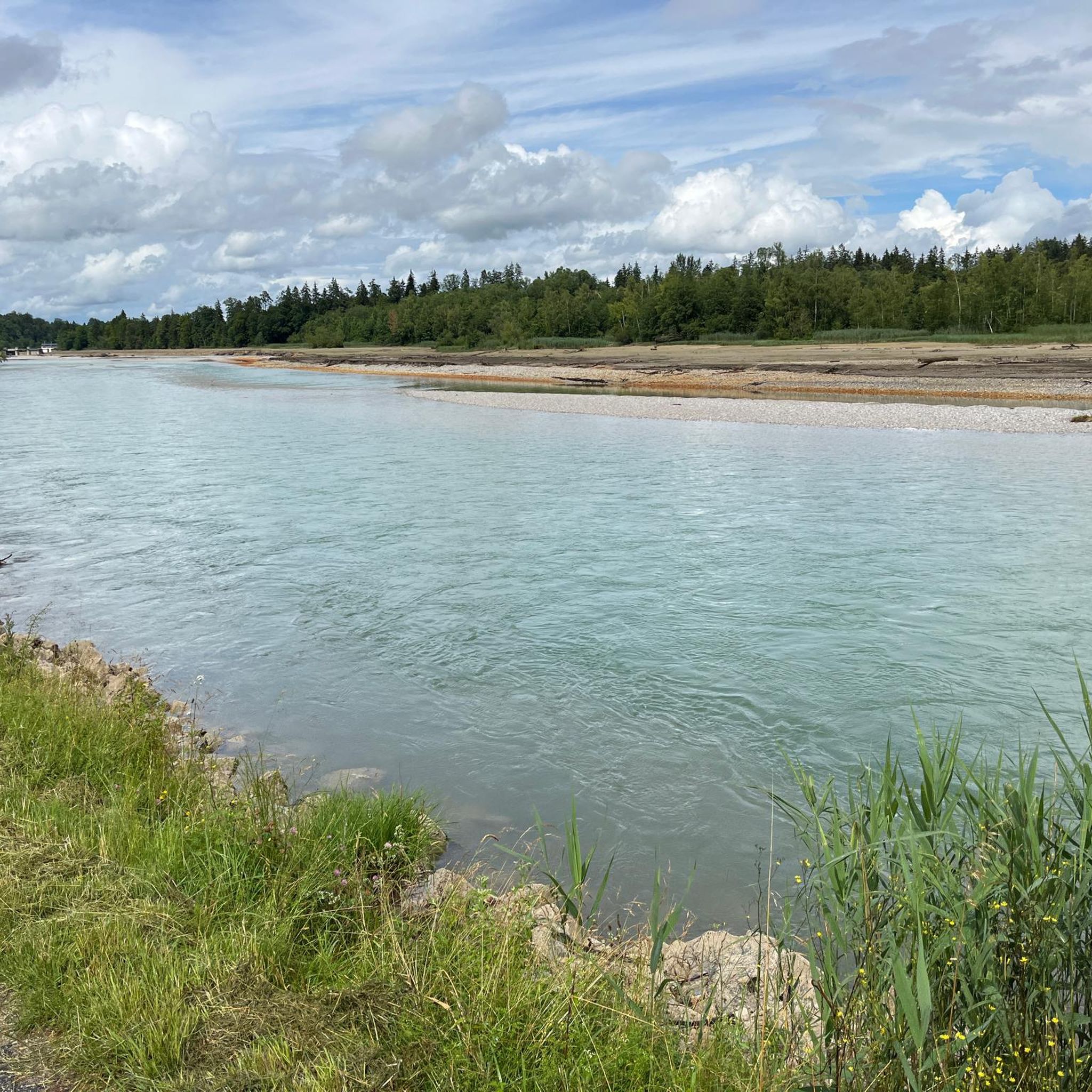
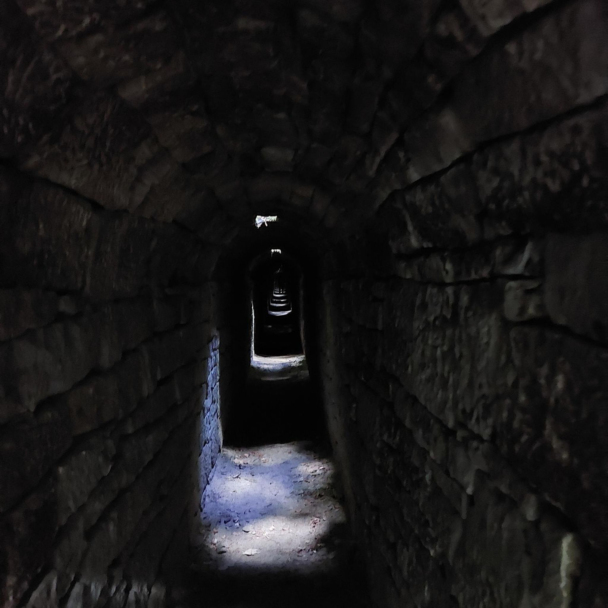
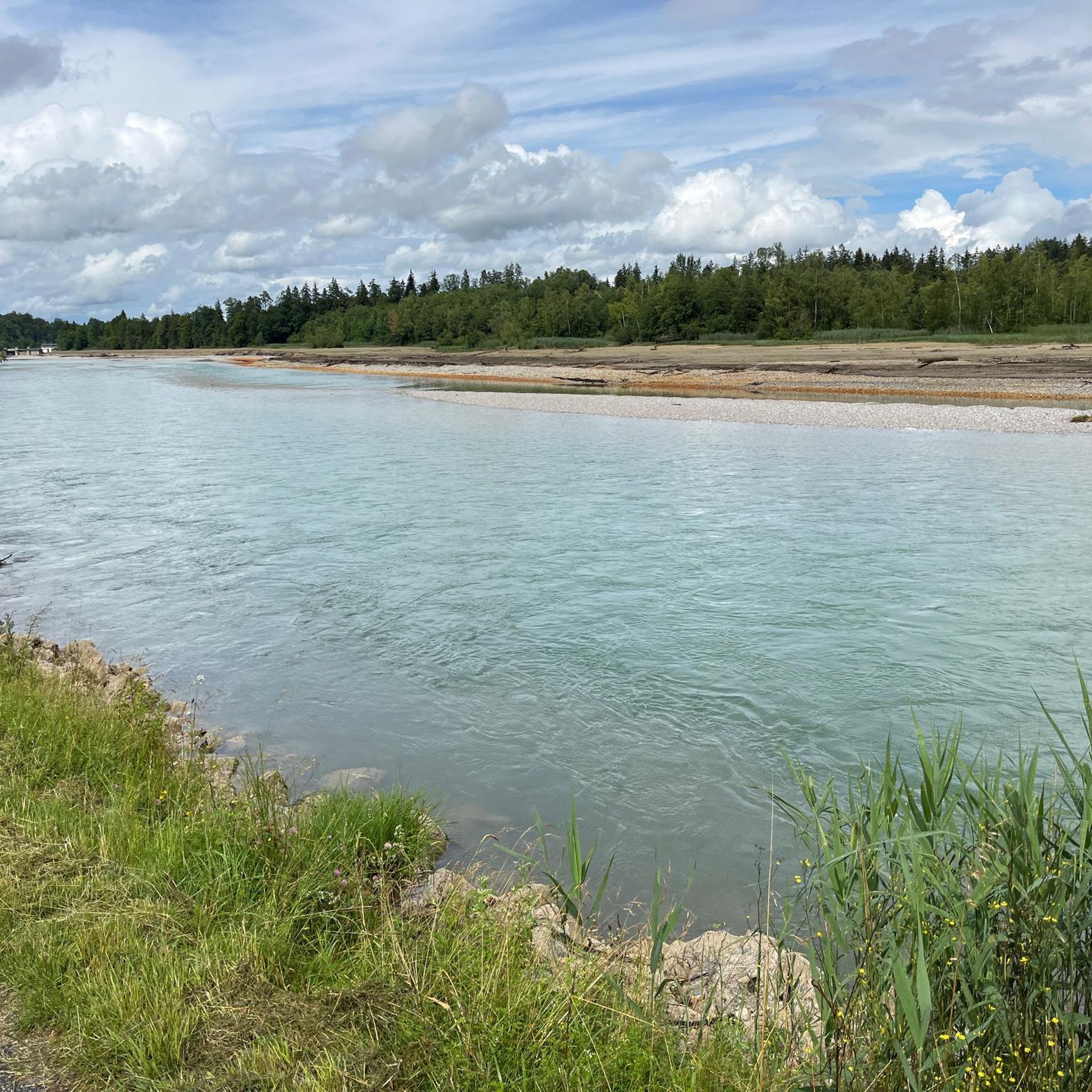
Here you can cross the Isar dry-shod and enjoy nature at the same time
9
0
Here you can enjoy a great view of the river
10
0

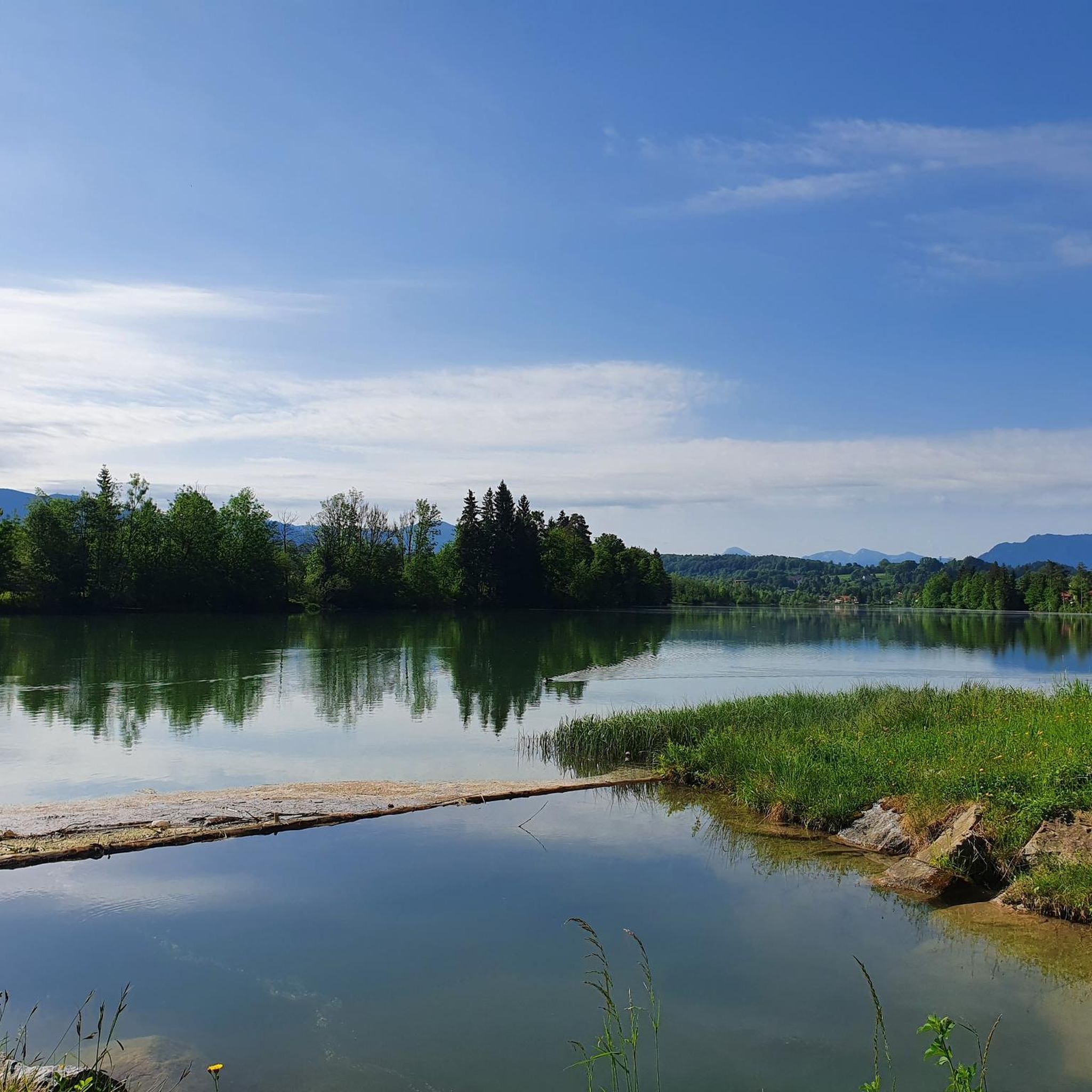
Beautiful lake with a great hiking trail - a trip there is worthwhile 👍
1
0
Here you have a great view of the city and you can also test the Isar water!
0
0
A path leads all the way around. A lovely, easy hike.
0
0
Frequently Asked Questions
How many hiking trails are available around Isar-Stausee Tölz?
The Isar-Stausee Tölz region offers a wide variety of hiking experiences, with over 600 trails recorded on komoot. These routes cater to all levels, from easy strolls along the reservoir to more challenging ascents.
Are there any easy circular walks suitable for beginners or families?
Yes, there are many easy circular routes. A great option is the Isar Reservoir, Bad Tölz – Iron Bridge over the Isar loop from Bad Tölz. This 4.3 km (2.6 miles) path offers continuous views of the tranquil reservoir waters and is perfect for a relaxed outing.
What kind of natural features can I expect to see on the trails?
The trails around Isar-Stausee Tölz are defined by the stunning turquoise waters of the Isar River and the serene Isar Reservoir. You'll hike through lush forests and open meadows, with glimpses of the distant Karwendel Mountains. The area is also a designated conservation zone, offering opportunities for birdwatching, especially near the dammed section of the Isar.
Are there any dog-friendly hiking routes in the area?
Many trails around Isar-Stausee Tölz are suitable for hiking with dogs, provided they are kept on a leash, especially in conservation areas. The varied terrain, from riverside paths to forest tracks, offers plenty of exploration for you and your canine companion. Always check local regulations for specific routes.
What are some interesting landmarks or attractions to see while hiking?
Hikers can discover several points of interest. The Fish ladder at the Isar Dam, Bad Tölz is an idyllic spot to observe fish migration. You can also enjoy the scenic Isar River Trail with lake views. The nearby town of Bad Tölz itself, with its historic old town, is also a charming place to explore before or after your hike.
Are there any challenging hikes with significant elevation gain?
For those seeking a challenge, the region offers routes with notable elevation. The Zwiesel Summit – View of Bad Tölz loop from Bad Tölz is a 17 km (10.6 miles) trail with significant elevation gain, typically taking over 5 hours to complete, offering rewarding views.
Where can I park my car when visiting the hiking trails?
Parking is generally available near the Isar bridge in Bad Tölz, which serves as a convenient starting point for many trails around the reservoir and along the river. Specific parking information for individual trailheads can often be found on komoot tour pages.
Can I reach the hiking areas using public transport?
Yes, the region is accessible by public transport. Bad Tölz, a central hub, has bus connections that can take you to various starting points for hikes. This makes it convenient to explore the trails even without a car.
What do other hikers say about the trails around Isar-Stausee Tölz?
The hiking trails around Isar-Stausee Tölz are highly regarded by the komoot community, boasting an average rating of 4.5 stars from over 9,000 reviews. Hikers frequently praise the diverse landscapes, the stunning turquoise waters of the Isar, and the well-maintained paths suitable for various fitness levels.
Are there any moderate-difficulty routes that combine river and reservoir views?
Absolutely. The Iron Bridge over the Isar – Isar Reservoir, Bad Tölz loop from Bad Tölz is a popular moderate route. This 12.4 km (7.7 miles) trail takes approximately 3 hours and 24 minutes, connecting the scenic Isar River with the tranquil reservoir.
What is the best time of year to go hiking in Isar-Stausee Tölz?
The Isar-Stausee Tölz region is beautiful year-round. Spring and autumn offer pleasant temperatures and vibrant colors, while summer is ideal for enjoying the water views. Even in winter, some trails are suitable for hiking, offering a serene, snow-dusted landscape, though conditions should always be checked.
Are there places to eat or drink near the hiking trails?
Yes, the nearby town of Bad Tölz offers a variety of cafes, restaurants, and pubs where you can refuel after your hike. Along some of the more popular routes, you might also find smaller establishments or beer gardens, especially during peak season.
Most popular routes around Isar-Stausee Tölz
Most popular attractions around Isar-Stausee Tölz

Get inspired with the komoot mobile app


Explore more
Browse the best Hikes in other regions.
