The best cycling routes around Ken Caryl
4.6
(188)
4,081
riders
139
rides
Touring cycling routes around Ken Caryl are set against the backdrop of the Rocky Mountain foothills, featuring diverse landscapes and extensive trail networks. The region is characterized by striking red rock formations and varied terrain, including both paved surfaces and unpaved segments. Natural features such as Big Soda Lake and Chatfield State Park are integral to the landscape, offering picturesque routes. The area also includes extensive open spaces with numerous trails winding through valleys and past hills.
Best touring cycling routes around Ken Caryl
- The most popular touring cycling route is Mann Reservoir – View from City View Drive loop from Area closed to public, a 31.3 miles (50.3 km) trail that takes 3 hours 44 minutes to complete. This difficult route features significant elevation gain through the foothills.
- Another top favourite among local touring cyclists is Mary Carter Greenway Trail – View from Chatfield Dam loop from Columbine High School, a moderate 30.1 miles (48.5 km) path. This route offers views of Chatfield Dam and the surrounding landscape.
- Local touring cyclists also love the View from City View Drive loop from Classification Natural Resource Protection, a 25.1 miles (40.4 km) trail leading through varied terrain with panoramic views, often completed in about 2 hours 59 minutes.
- Touring cycling around Ken Caryl is defined by Rocky Mountain foothills, red rock formations, and diverse trails that wind through parks and past lakes. The network offers options for different ability levels, from easy paved paths to challenging routes with substantial climbs.
- The routes in Ken Caryl are highly rated by the komoot community with an average score of 4.6 stars from over 140 reviews. More than 3900 touring cyclists have used komoot to explore Ken Caryl's varied terrain.
Last updated: October 1, 2026
5.0
(1)
504
riders
50.3km
03:44
1,130m
1,130m
Hard bike ride. Very good fitness required. Mostly paved surfaces. Suitable for all skill levels.
43
riders
42.1km
03:03
200m
200m
Moderate bike ride. Good fitness required. Mostly paved surfaces. Suitable for all skill levels.

41
riders
Hard bike ride. Very good fitness required. Mostly paved surfaces. Suitable for all skill levels.
5.0
(2)
28
riders
29.3km
01:42
130m
130m
Easy bike ride. Great for any fitness level. Mostly paved surfaces. Suitable for all skill levels.
4.0
(1)
25
riders
33.4km
02:03
320m
320m
Moderate bike ride. Good fitness required. Mostly paved surfaces. Suitable for all skill levels.
Get access to more routes and recommendations from other explorers.
Already have an account?
Our route recommendations are based on thousands of hikes, rides, and runs completed by other people on komoot.
Start today with a free account
Your next adventure awaits.

Tips from the Community

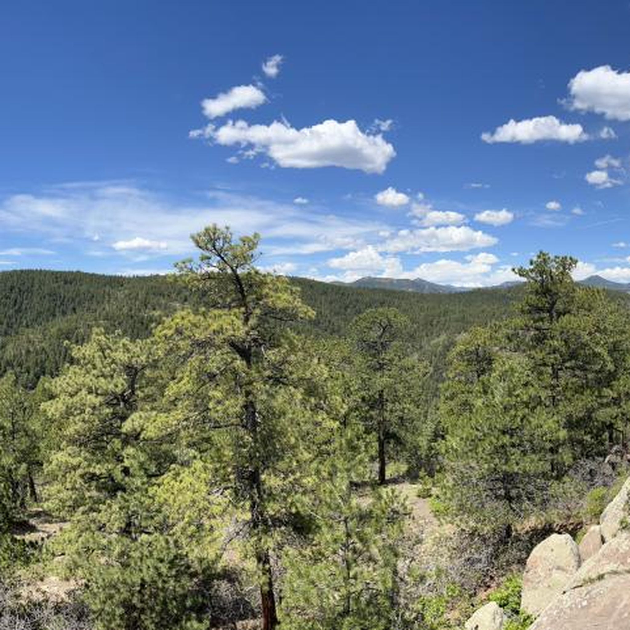
… this is just perfect for starting into the wild …
0
0

The "Waterton Canyon Recreation Area" trailhead sign here marks the Colorado Trail's Northern Terminus. It's a photo opportunity for thru-hikers continuing all the way south to Durango, a journey that stretches almost 500 miles.
0
0


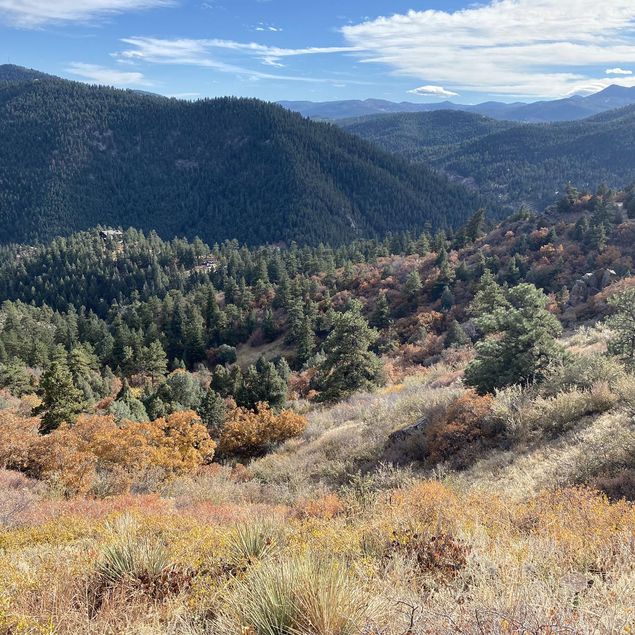
This is a nice overlook near Mt. Carbon, with expansive views of the Denver skyline, Bear Lake Park, and Mount Falcon Park in the background. Bear Creek Trail ends here, making it a great spot to pause, sit for a bit, and enjoy the views.
0
0

This is the trail head for segment 1 of the Colorado Trail. There is a vault toilet and parking at the trail head.
0
0

View from the gravel section of the Dam Trail. Nice views of the foothills and the suburbs from the Dam Trail.
0
0

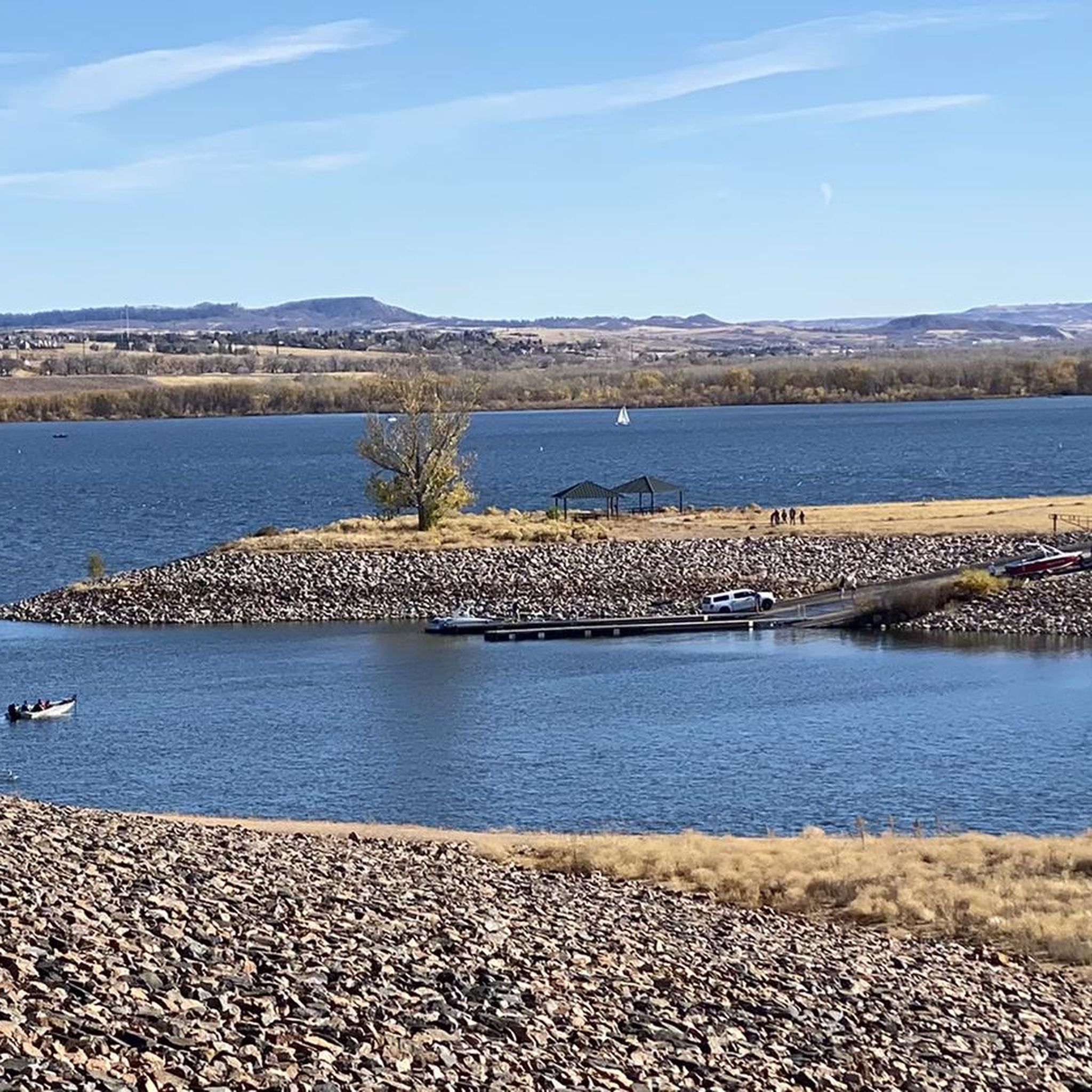
Chatfield State Park is a state park that centers around the 1,423-acre South Platte River-fed Chatfield Reservoir. It offers biking and hiking trails, boating, fishing, and picnicking.
0
0

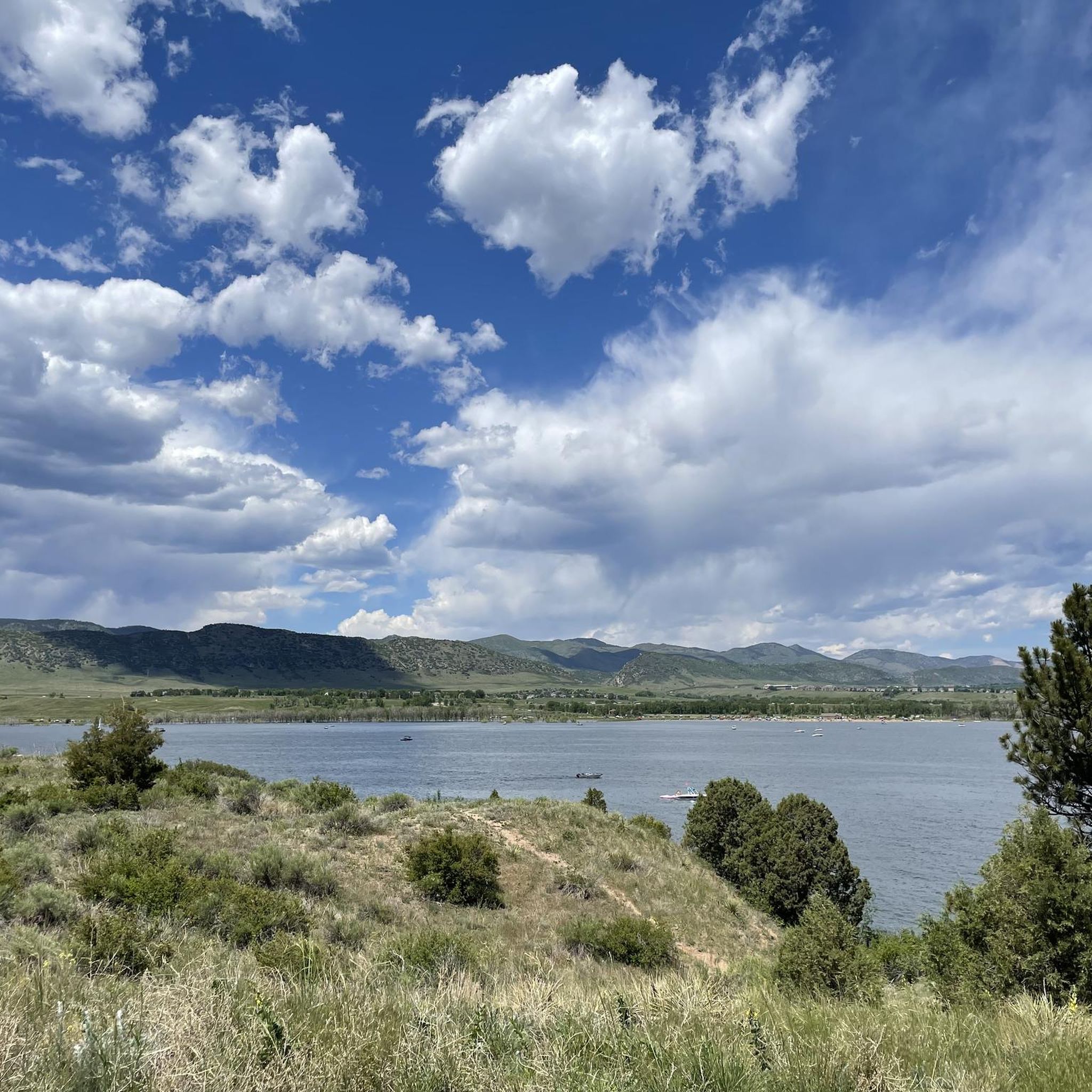
scenic high point above Bear Creek Reservoir, between the Denver skyline and the foothills - a bike path all the way http://www.cyclepass.com/t_p_Bear_Creek_Res.html
0
0
Frequently Asked Questions
How many touring cycling routes are available in Ken Caryl?
Ken Caryl offers an extensive network of over 220 cycling routes and bike trails. These range from easy, paved paths suitable for all fitness levels to challenging rides with significant elevation gains, ensuring options for every touring cyclist.
Are there any easy touring cycling routes for beginners or families?
Yes, Ken Caryl has numerous easy, paved paths perfect for beginners or family outings. While specific easy routes aren't highlighted here, the region's diverse trail network includes many options with minimal elevation gain. You can find over 50 easy touring cycling routes on komoot for the area.
What kind of terrain can I expect on touring cycling routes in Ken Caryl?
The terrain in Ken Caryl is remarkably diverse. You'll find both smooth, paved surfaces ideal for road cycling and more challenging unpaved segments. Routes wind through the Rocky Mountain foothills, offering stunning views, and pass through prairie grass, red rock formations, and various parks.
Are there any circular touring cycling routes in Ken Caryl?
Yes, many touring cycling routes in Ken Caryl are designed as loops. For example, the Pleasant Park Grange Rest Stop – View from City View Drive loop from Aspen Park is a popular difficult loop, and the Hogback Hill Park loop from Hildebrand Ranch Park offers a moderate option.
What natural attractions or landmarks can I see along the touring cycling routes?
Ken Caryl's routes offer access to beautiful natural features and landmarks. You can cycle past lakes like Big Soda Lake and Bear Creek Lake, or explore areas with striking red rock formations. The Walker House Ruins also offer a historical point of interest.
What do other touring cyclists say about the routes in Ken Caryl?
The touring cycling routes in Ken Caryl are highly regarded by the komoot community, holding an average rating of 4.5 stars from nearly 150 reviews. Over 4000 touring cyclists have used komoot to explore the varied terrain, often praising the scenic beauty and diverse options available.
Are there any routes that offer views of lakes or reservoirs?
Absolutely. Routes like the Big Soda Lake – Dinosaur Ridge loop from Columbine High School and the Big Soda Lake loop from Ken Caryl provide excellent views of Big Soda Lake. The region also features Bear Creek Lake and Chatfield Reservoir, offering picturesque waterside cycling opportunities.
What are some challenging touring cycling routes for experienced riders?
Experienced riders looking for a challenge will find several difficult routes with significant elevation gains. The Pleasant Park Grange Rest Stop – View from City View Drive loop from Aspen Park, with over 1100 meters of climbing, and the View from City View Drive loop from Classification Natural Resource Protection, with nearly 1000 meters of ascent, are excellent options for a demanding ride.
Can I find parking near the trailheads in Ken Caryl?
Yes, many parks and open spaces in the Ken Caryl area, such as Hildebrand Ranch Park, Deer Creek Canyon, and South Valley Park, offer designated parking areas for trail access. It's advisable to check specific park websites for detailed parking information before your ride.
What is the best time of year to go touring cycling in Ken Caryl?
Ken Caryl offers great cycling conditions for much of the year. Spring and fall generally provide pleasant temperatures and vibrant scenery. Summer can be warm, so early morning rides are often preferred. While winter cycling is possible, be prepared for colder temperatures and potential snow or ice on some trails, especially at higher elevations.
Are there any cafes or pubs near the touring cycling routes for a break?
While specific cafes and pubs directly on the trails are not listed, the Ken Caryl community and surrounding areas offer various establishments where you can stop for refreshments. Many trailheads are located near residential and commercial zones, making it convenient to find places to eat or drink.
Most popular attractions around Ken Caryl

Get inspired with the komoot mobile app


Explore more
Browse the best Cycling routes in other regions.
