The best road cycling routes around Ken Caryl
4.5
(79)
4,896
riders
136
rides
If you've ever tried to plan road cycling around Ken Caryl, you know how overwhelming the options can be. Sifting through countless routes to find the ones genuinely worth your time and effort can feel like a full-time job. That's where we come in. Our komoot community has mapped, ridden, and reviewed these routes, so we've done the legwork to bring you a curated shortlist of the best road cycling in Ken Caryl, saving you the guesswork.
Road cycling around…
Last updated: May 30, 2026
5.0
(1)
134
riders
62.4km
03:22
1,200m
1,200m
Hard road ride. Very good fitness required. Mostly well-paved surfaces and easy to ride.
24
riders
110km
05:48
1,810m
1,810m
Hard road ride. Very good fitness required. Mostly well-paved surfaces and easy to ride.
97
riders
37.5km
01:58
680m
680m
Moderate road ride. Good fitness required. Some segments of this route may be unpaved and difficult to ride.
Get access to more routes and recommendations from other explorers.
Already have an account?
Our route recommendations are based on thousands of hikes, rides, and runs completed by other people on komoot.
Start today with a free account
Your next adventure awaits.

Tips from the Community

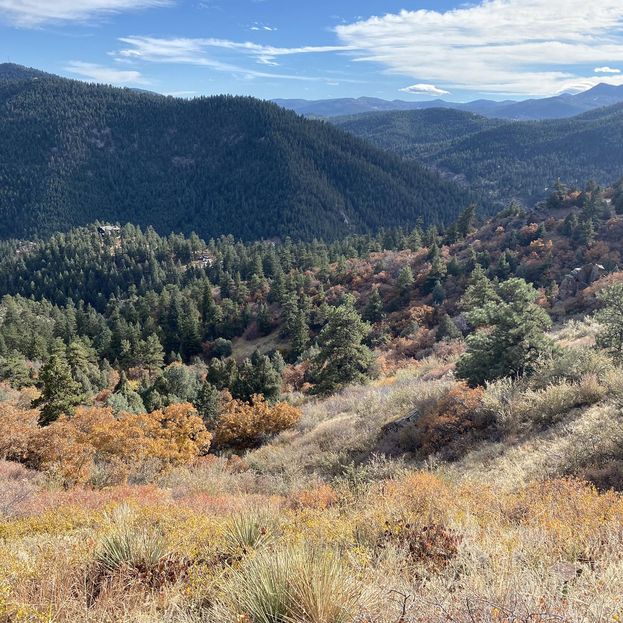
Lookout Mountain is a popular climb for local cyclists and visitors. Traffic is normally light and friendly, but the climb is steep at points. However, you are rewarded at the top by wonderful views of downtown Denver.
1
0

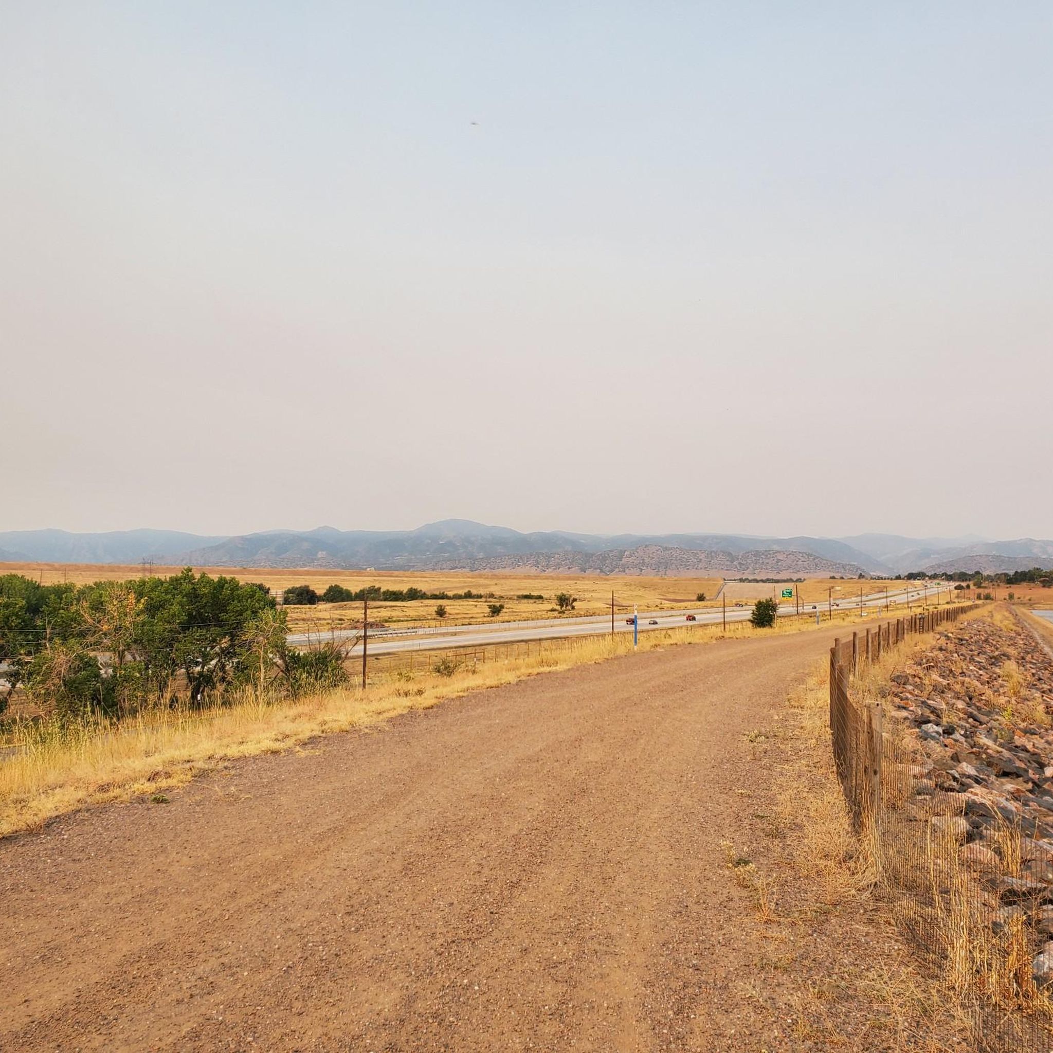
The South Platte River is one of the two main tributaries of the Platte River. The river starts in South Park and ends when it joins the North Platte River south of Ogallala, Nebraska.
0
0

Enjoy looking out from the observation deck as you can see Denver and the perfectly straight Colfax Road that splits down the middle.
0
0

The South Platte River, originating in the mountains of central Colorado at the Continental Divide, flows a total distance of about 439 miles. The river is a hot spot for outdoor activities like fishing, kayaking, and wildlife watching. It flows through urban areas and the backcountry.
0
0
Dinosaur Ridge is a great paved trail to bring the kids to. It's closed to cars (save for the dinosaur visitor tour shuttle bus) and has other trails you can wander off on after locking up the bikes. The entirety of the trail is wheel chair accessible with toilets and seating along the way. On the ridge itself, you'll find fossils and educational plaques.
0
0
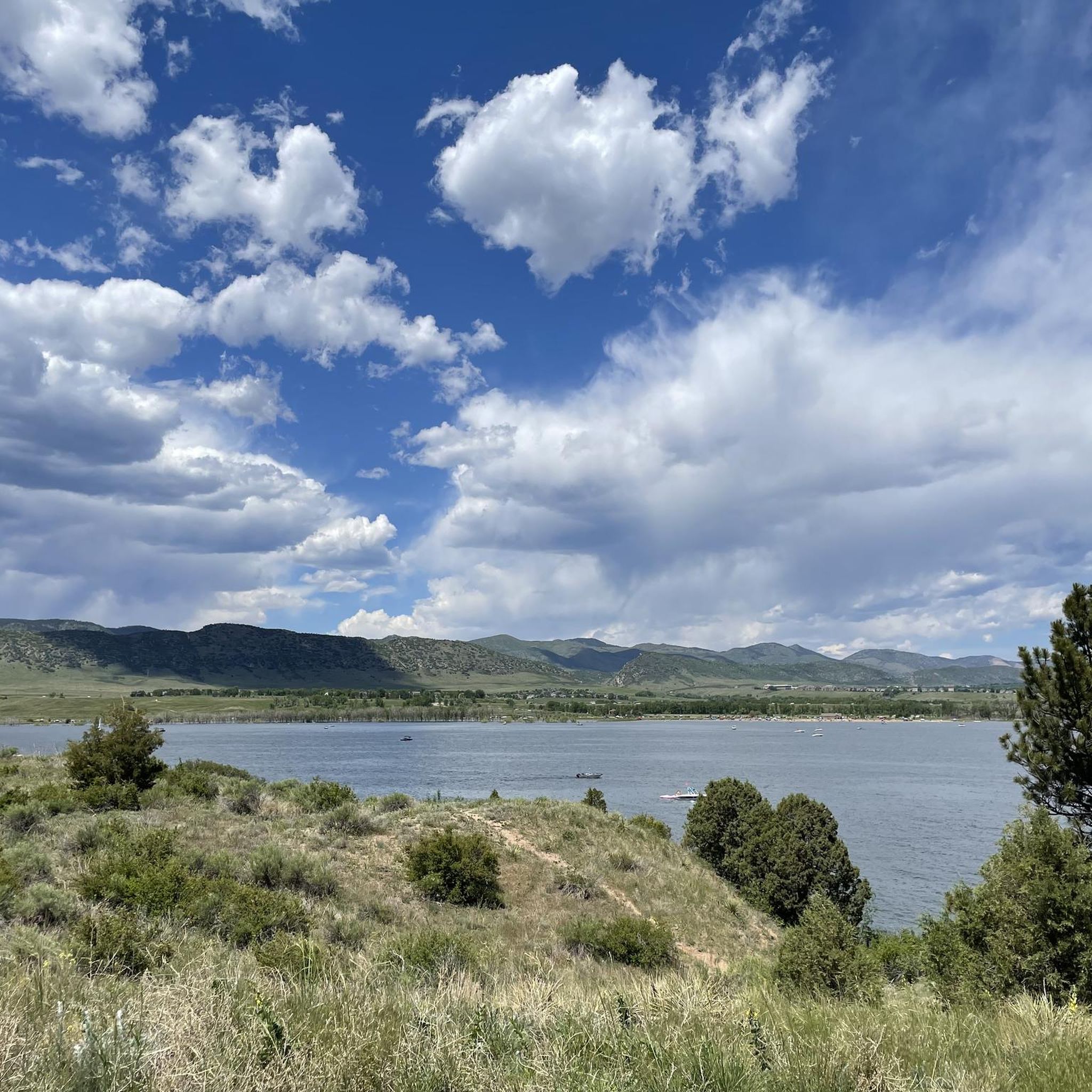
Mann Reservoir has tall red rock features on the north-east side of the reservoir. The Swallow Trail will take visitors closest to the rock features. There is also parking on the north end of the reservoir.
0
0
The South Valley Park South Trailhead is one end of the Coyote Song Trail. This area has maps, parking, and restrooms. The trailhead is a quick turnoff from W. Deer Creek Canyon Road and is very accessible.
0
0

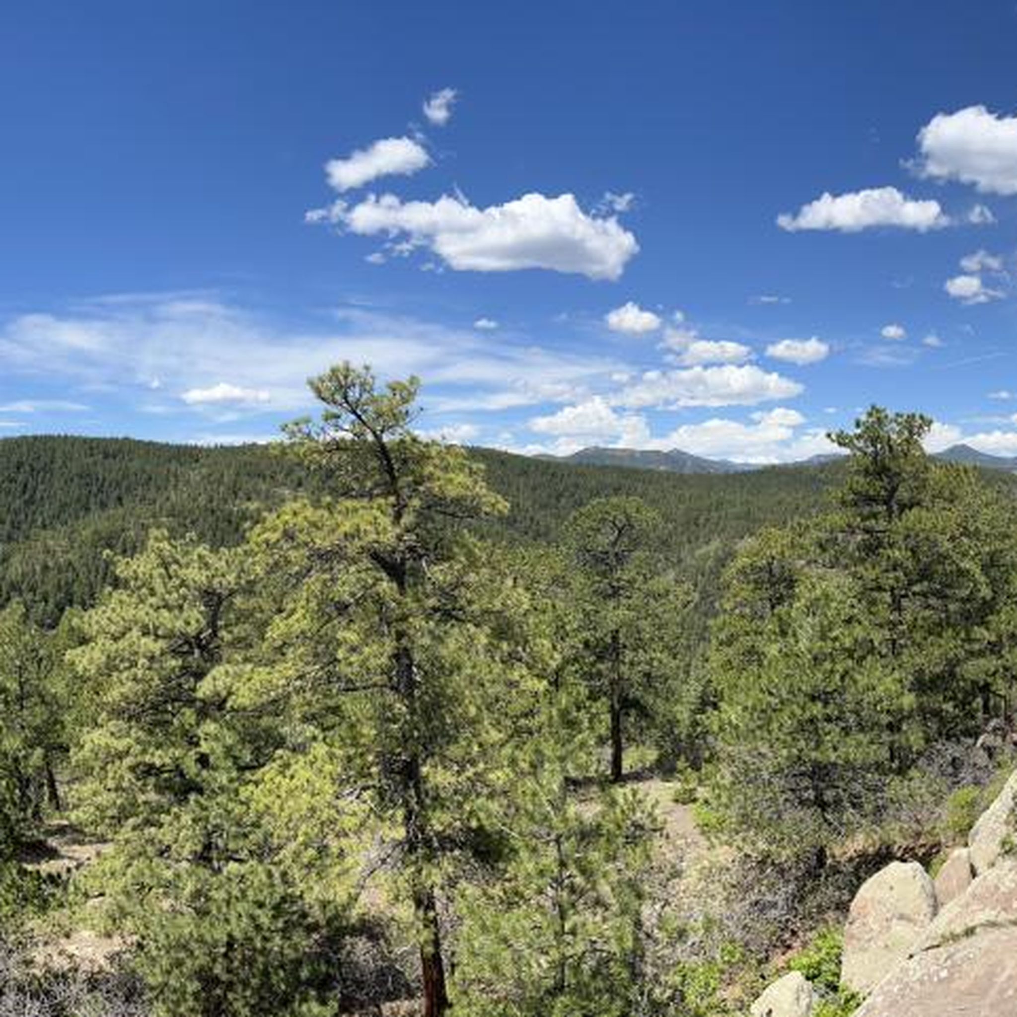
Nestled in the picturesque landscape of Colorado, Apatosaurus Bulges offers a breathtaking vista. Situated within Matthews/Winters Park, it neighbors North Dinosaur Open Space Park and the intriguing Dinosaur Bone Bed.
0
0
Frequently Asked Questions
How many road cycling routes are available in the Ken Caryl area?
There are over 120 road cycling routes around Ken Caryl, offering a wide range of options for different skill levels and preferences. These routes traverse the dramatic foothills of the Rocky Mountains, providing varied terrain and scenic backdrops.
Are there road cycling routes suitable for beginners or families in Ken Caryl?
Yes, Ken Caryl offers several routes suitable for those looking for an easier ride. There are 39 easy routes available, often featuring less elevation gain and smoother paths. While specific family-friendly road cycling routes are not explicitly listed, the extensive trail systems within Ken Caryl Ranch and nearby parks like Bear Creek Lake Park and Chatfield State Park offer paved sections that can be enjoyed by families.
What kind of challenging road cycling routes can I find in Ken Caryl?
For experienced cyclists seeking a challenge, Ken Caryl boasts 28 difficult road cycling routes. These often feature significant elevation gains and more demanding terrain, such as the Pleasant Park Grange Rest Stop loop from Chatfield State Park, which covers 38.4 miles with over 3,900 feet of ascent. Another challenging option is the Lookout Mountain Climb – Big Soda Lake loop from Deer Creek, a 42.6-mile route with over 3,900 feet of climbing.
Are there any scenic loop routes for road cycling in Ken Caryl?
Many road cycling routes in Ken Caryl are designed as loops, allowing you to experience diverse scenery without retracing your path. A popular moderate loop is the View from Chatfield Dam – South Platte Reservoir loop from Area closed to public, which offers views of the South Platte Reservoir. Another option is the South Platte Reservoir – View from Chatfield Dam loop from Columbine, a 42.4-mile route through the reservoir area.
What natural attractions or landmarks can I see along the road cycling routes?
Road cycling routes in Ken Caryl often pass by or offer views of significant natural features. You can encounter the distinctive hogback ridge, red rock formations, and expansive open spaces. Nearby attractions include the Chatfield Reservoir and the South Platte River. Some routes also offer glimpses of the Big Soda Lake or the dramatic Dinosaur Ridge.
Where can I find parking for road cycling trails in Ken Caryl?
While specific parking details for every route vary, many road cycling routes in Ken Caryl start near community parks or trailheads that offer parking. For routes around Chatfield State Park or Bear Creek Lake Park, designated parking areas are available within the parks. It's advisable to check the starting point of your chosen route on komoot for specific parking recommendations.
What is the best time of year for road biking in Ken Caryl?
The Ken Caryl area generally offers excellent road cycling conditions from spring through fall. The mild temperatures and clear skies during these seasons make for enjoyable rides. While winter cycling is possible, conditions can vary with snow and ice, especially on higher elevation routes or after storms. Always check local weather and trail conditions before heading out.
Are there any routes that feature water bodies or lakes?
Yes, several road cycling routes in Ken Caryl incorporate or offer views of water features. The View from Chatfield Dam – South Platte Reservoir loop from Area closed to public and the South Platte Reservoir – View from Chatfield Dam loop from Columbine both feature the South Platte Reservoir. Additionally, the Big Soda Lake – Apatosaurus Bulges loop from Columbine passes by Big Soda Lake, providing scenic lakeside stretches.
What do other road cyclists enjoy most about road cycling in Ken Caryl?
The road cycling routes around Ken Caryl are highly rated by the komoot community, with an average score of 4.4 stars from over 50 reviews. Cyclists often praise the stunning natural landscapes, the challenging yet rewarding climbs in the foothills, and the well-maintained surfaces. The blend of scenic views, varied terrain, and extensive open spaces makes it a favorite destination for many.
What are the typical distances and durations for road cycling routes in Ken Caryl?
Road cycling routes in Ken Caryl vary significantly in length and duration. You can find routes ranging from shorter, easier rides to longer, more challenging excursions. For example, a moderate route like the View from Chatfield Dam – South Platte Reservoir loop from Area closed to public is about 31.3 miles and takes around 2 hours 23 minutes. More difficult routes, such as the Lookout Mountain Climb – Big Soda Lake loop from Deer Creek, can be over 42 miles and take more than 4 hours to complete.
Are there any historical sites or points of interest along the routes?
While the focus is on natural beauty, some routes may pass near historical points. For instance, the area is close to Walker House Ruins, offering a glimpse into the region's past. The geological features, like the ancient hogback formation and Dinosaur Ridge, also provide a sense of deep history.
Most popular attractions around Ken Caryl

Get inspired with the komoot mobile app


Explore more
Browse the best Road cycling routes in other regions.
