The best walks and hikes around West Menlo Park
4.7
(221)
3,764
hikers
167
hikes
Hiking around West Menlo Park offers diverse natural landscapes, situated near the San Francisco Bay and the Santa Cruz Mountains. The region features rolling hills, salt ponds, and marshlands closer to the Bay, transitioning to oak woodlands, meadows, and redwood forests further inland. Varied terrain includes open ridgelines and grasslands, providing a mix of environments for outdoor activities. This area is characterized by its varied topography, offering a range of experiences for hikers.
Best hiking trails around West Menlo Park
- The most popular hiking route is Stanford Dish Radio Telescope – Stanford Dish Loop Trail loop from Stanford Weekend Acres, a 4.5 miles (7.3 km) trail that takes 2 hours 3 minutes to complete. This moderate route offers panoramic views of the surrounding area and the iconic Stanford Dish.
- Another top favourite among local hikers is The Dish – Stanford Dish Hiking Trailhead loop from Stanford, an easy 3.3 miles (5.3 km) path. This trail provides accessible views of Stanford University and the Bay, winding through open terrain.
- Local hikers also love the Hoover Tower – Memorial Church loop from College Terrace, a 4.7 miles (7.5 km) trail leading through the Stanford University campus, often completed in about 1 hour 54 minutes.
- Hiking around West Menlo Park is defined by rolling hills, oak woodlands, and Bay views. The network offers options for various ability levels, from easy, flat paths to more challenging climbs.
- The routes in West Menlo Park are highly rated by the komoot community with an average score of 4.6 stars from over 200 reviews. More than 4000 hikers have used komoot to explore West Menlo Park's varied terrain.
Last updated: June 28, 2026
5.0
(1)
4
hikers
5.52km
01:24
10m
10m
Easy hike. Great for any fitness level. Easily-accessible paths. Suitable for all skill levels.
5.0
(1)
48
hikers
8.12km
02:15
140m
140m
Moderate hike. Good fitness required. Easily-accessible paths. Suitable for all skill levels.

Sign up for free
33
hikers
7.29km
01:51
20m
20m
Easy hike. Great for any fitness level. Easily-accessible paths. Suitable for all skill levels.
25
hikers
Easy hike. Great for any fitness level. Easily-accessible paths. Suitable for all skill levels.
14
hikers
3.83km
01:06
90m
90m
Easy hike. Great for any fitness level. Easily-accessible paths. Suitable for all skill levels.
Get access to more routes and recommendations from other explorers.
Sign up for free
Already have an account?
Our route recommendations are based on thousands of hikes, rides, and runs completed by other people on komoot.
Start today with a free account
Your next adventure awaits.
Login or Signup

Tips from the Community

The Stanford Dish hiking area—named after the iconic radio telescope perched in the foothills—is one of the most popular outdoor spots near campus. The main entry point is at Stanford Avenue and Junipero Serra Boulevard, where you’ll find a wide gate, maps, and signage outlining the loop. From the entrance, the paved trail climbs steadily into open grasslands, offering sweeping views of the Stanford campus, Santa Clara Valley, and the Santa Cruz Mountains. The trail is open to walkers, runners, and hikers (no bikes or dogs), and is especially popular in the mornings and late afternoons. There’s no shade, so bring water and sun protection. Expect rolling hills, scenic vistas, and plenty of local wildlife.
0
0

A sculpture made by Augustin Rodnin
0
0

The Main Quad and Memorial Court are part of Stanford University's academic preserve. Memorial Court features The Burghers of Calais by Auguste Rodin, from the largest Rodin sculpture collection outside Paris.
1
0
The Dish, or the Stanford Dish, is a huge, 150-foot-diameter radio antenna. Built in 1961 by the Stanford Research Institute, it is still in use by the university today and is a popular hiking destination. In addition to views of the Stanford Dish, you also get panoramic views of the surrounding foothills and, on clear days, the San Francisco skyline. The area is known for its wildlife, including various bird species, so be on the lookout as you explore The Dish.
1
0


The Main Quad is the oldest part of Stanford University. The cornerstone of the Quad was laid in May of 1887 and completed in 1905. This 17-acre hallmark of the university is a great place to run through and take in the history.
1
0
The Dish Trail is entirely paved making for a great spot to run laps or an easy hike. It is very exposed here, so you'll definitely need sunscreen and water. The trail is called the Dish Trail due to the giant satellite dish located here.
0
0

This is a public access Arboretum on the grounds of Stanford University and predates the university itself. Today the collection of native and non-native trees has more than 350 species from all over the world.
0
0
Frequently Asked Questions
How many hiking trails are available in West Menlo Park?
West Menlo Park offers a wide selection of hiking opportunities, with over 130 routes available. These range from easy strolls to more challenging climbs, ensuring options for various skill levels. Specifically, there are 89 easy routes, 47 moderate routes, and 2 difficult routes.
What do other hikers say about the trails in West Menlo Park?
The hiking trails in West Menlo Park are highly regarded by the komoot community, holding an average rating of 4.6 stars from over 230 reviews. Hikers frequently praise the diverse landscapes, from rolling hills and oak woodlands to panoramic Bay views, and the well-maintained paths that cater to different abilities.
Are there any dog-friendly hiking trails in the West Menlo Park area?
Yes, many trails in the West Menlo Park area are dog-friendly, though leash rules usually apply. Popular options include parts of the Stanford Dish Loop Trail and trails within Arastradero Preserve. Always check specific preserve or park regulations before heading out with your dog, as rules can vary.
Which trails are suitable for families or beginners?
For families and beginners, the area offers numerous easy options. Arastradero Preserve is known for its beginner-friendly trails through open meadows and gentle hills. Huddart Park also provides family-friendly trails, such as the Crystal Springs Trail, winding through redwoods and along streams. The The Dish – Stanford Dish Hiking Trailhead loop from Stanford is another accessible choice with great views.
Are there any circular hiking routes in West Menlo Park?
Yes, many of the trails in West Menlo Park are designed as loops, offering varied scenery without retracing your steps. Examples include the popular Stanford Dish Radio Telescope – Stanford Dish Loop Trail loop from Stanford Weekend Acres, which provides panoramic views, and the Hoover Tower – Memorial Church loop from College Terrace, which explores the Stanford University campus.
Where can I find trails with scenic views of the Bay or mountains?
For stunning views, consider Bedwell Bayfront Park, which offers panoramic vistas of the San Francisco Bay and surrounding areas. Windy Hill Open Space Preserve provides sweeping views of the Bay, the Santa Cruz Mountains, and beyond from its summit. The Stanford Dish Loop also offers panoramic views of Stanford University, Palo Alto, and the Bay.
Are there any trails that feature redwood forests or wildflowers?
Yes, for redwood forests, Huddart Park in nearby Woodside features trails like the Crystal Springs Trail that wind through towering redwoods. If you're interested in wildflowers, Edgewood Park and Natural Preserve, a short drive south, is renowned for its vibrant displays in spring, with hillsides bursting with native species.
What kind of wildlife can I expect to see while hiking?
The diverse ecosystems around West Menlo Park support a variety of wildlife. Arastradero Preserve is known for its rich biodiversity, including deer, coyotes, and various bird species. Bedwell Bayfront Park is an excellent spot for bird-watching, especially around its salt ponds and marshlands.
Are there any notable landmarks or attractions near the hiking trails?
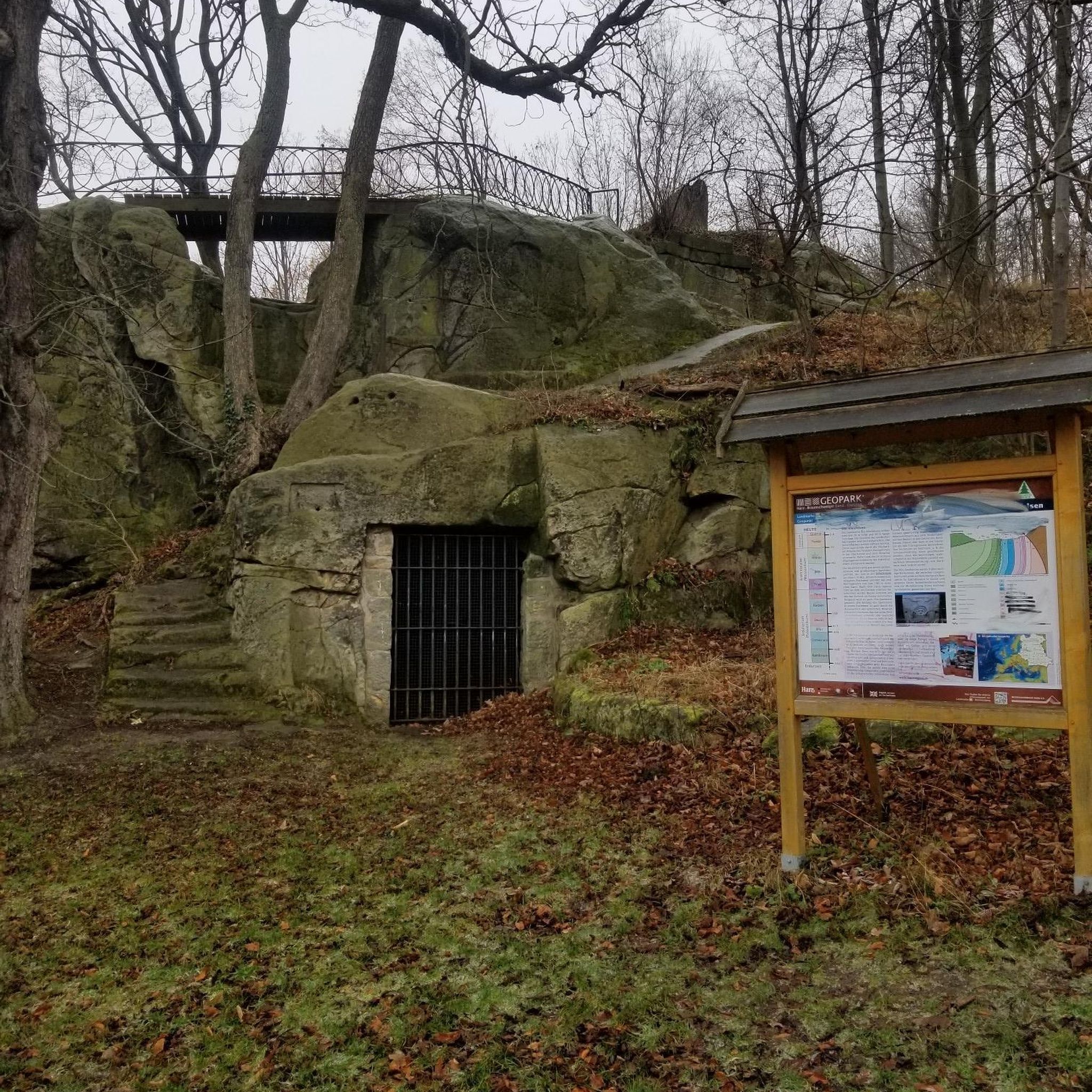
Absolutely. While hiking, you might encounter several interesting landmarks. The Woodside Store (Historic Site) offers a glimpse into local history. For natural features, the Tafoni Sandstone Formation is a unique geological sight. The iconic Stanford Dish Radio Telescope is also a prominent feature along its namesake loop trail.
Are there any lakes or water features along the hiking routes?
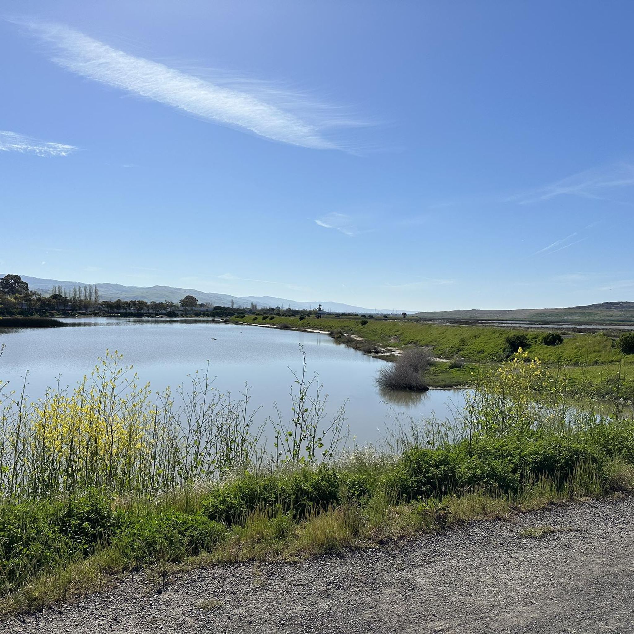
Yes, the area includes several water features. Arastradero Lake is located within Arastradero Preserve. Huddart Park features trails along tranquil streams. The San Francisquito Creek Trail also follows a creek, though it can be quite muddy during the rainy season. Additionally, Bedwell Bayfront Park offers views of salt ponds and marshlands along the San Francisco Bay.
Is public transport available to reach hiking trailheads?
While some areas might be accessible via public transport, many of the trailheads in the West Menlo Park region are best reached by car. For specific routes, it's advisable to check local transit schedules and connections to see if they align with your chosen starting point.
Where can I find parking for hiking trails in West Menlo Park?
Most major preserves and parks in the West Menlo Park area, such as Arastradero Preserve, Huddart Park, and Bedwell Bayfront Park, offer dedicated parking lots at their main entrances. The Stanford Dish Loop also has accessible parking nearby. Parking availability can vary, especially on weekends, so arriving early is often recommended.
What is the best time of year to hike in West Menlo Park?
West Menlo Park offers enjoyable hiking year-round due to its mild climate. Spring is particularly beautiful, with vibrant wildflower displays in places like Edgewood Park. Fall provides pleasant temperatures and clear skies. Even winter can be good for hiking, though some trails, like the San Francisquito Creek Trail, can become muddy after rain.
Most popular attractions around West Menlo Park

Get inspired with the komoot mobile app


Explore more
Browse the best Hikes in other regions.
