The best running trails around West Menlo Park
4.6
(64)
3,816
runners
284
runs
Jogging routes around West Menlo Park traverse varied landscapes, from rolling hills and oak woodlands to marshlands near the San Francisco Bay. The region's proximity to the Santa Cruz Mountains provides diverse terrain for running. Numerous parks and the Stanford University campus offer well-maintained paths and scenic backdrops for runners.
Best jogging routes around West Menlo Park
- The most popular jogging route is Lake Lagunita loop, a 1.3 miles (2.0 km) trail that takes 14 minutes to complete. This easy path features wooded sections and open stretches around the lake.
- Another top favourite among local runners is The Dish – Lake Lagunita loop from Stanford University, a moderate 7.0 miles (11.3 km) path. This route combines the popular Stanford Dish with the scenic Lake Lagunita, offering varied terrain and views.
- Local runners also love the The Dish loop from West Menlo Park, a 7.5 miles (12.0 km) trail leading through rolling hills with panoramic views, often completed in about 1 hour 17 minutes.
- Jogging around West Menlo Park is defined by rolling hills, oak woodlands, and marshlands, with routes available across the Stanford University campus and along the Bay. The network offers options for different ability levels, from easy loops to more challenging paths with elevation gains.
- The routes in West Menlo Park are highly rated by the komoot community with an average score of 4.3 stars from over 40 reviews. More than 3600 runners have used komoot to explore West Menlo Park's varied terrain.
Last updated: June 26, 2026
2.04km
00:14
10m
10m
Jog the easy 1.3-mile Lake Lagunita loop in Palo Alto, enjoying wooded paths, open stretches, and wildlife around the lake.
4.5
(2)
24
runners
11.6km
01:16
120m
120m
Moderate run. Good fitness required. Mostly paved surfaces. Suitable for all skill levels.

Sign up for free
5.0
(1)
21
runners
12.7km
01:22
160m
160m
Moderate run. Good fitness required. Mostly paved surfaces. Suitable for all skill levels.
12
runners
8.80km
00:56
40m
40m
Moderate run. Good fitness required. Mostly paved surfaces. Suitable for all skill levels.
9
runners
14.7km
01:32
130m
130m
Moderate run. Good fitness required. Mostly paved surfaces. Suitable for all skill levels.
Get access to more routes and recommendations from other explorers.
Sign up for free
Already have an account?
Our route recommendations are based on thousands of hikes, rides, and runs completed by other people on komoot.
Start today with a free account
Your next adventure awaits.
Login or Signup
Tips from the Community

The Stanford Dish Trail parking area off Alpine Road (near Piers Lane and just west of Junipero Serra Boulevard) serves as a quieter but still well-used western entrance to the Dish hiking area. This access point offers a small parking lot and connects directly to the Dish loop’s rolling, paved trails. From here, you’ll begin with a gentle incline through open hillsides, quickly gaining elevation and views of the Santa Cruz Mountains. It’s a scenic entry with fewer crowds than the main Stanford Avenue gate. Like the rest of the Dish area, it’s open only to walkers, runners, and hikers—no dogs, no bikes. Come prepared for sun exposure and some steep grades.
0
0

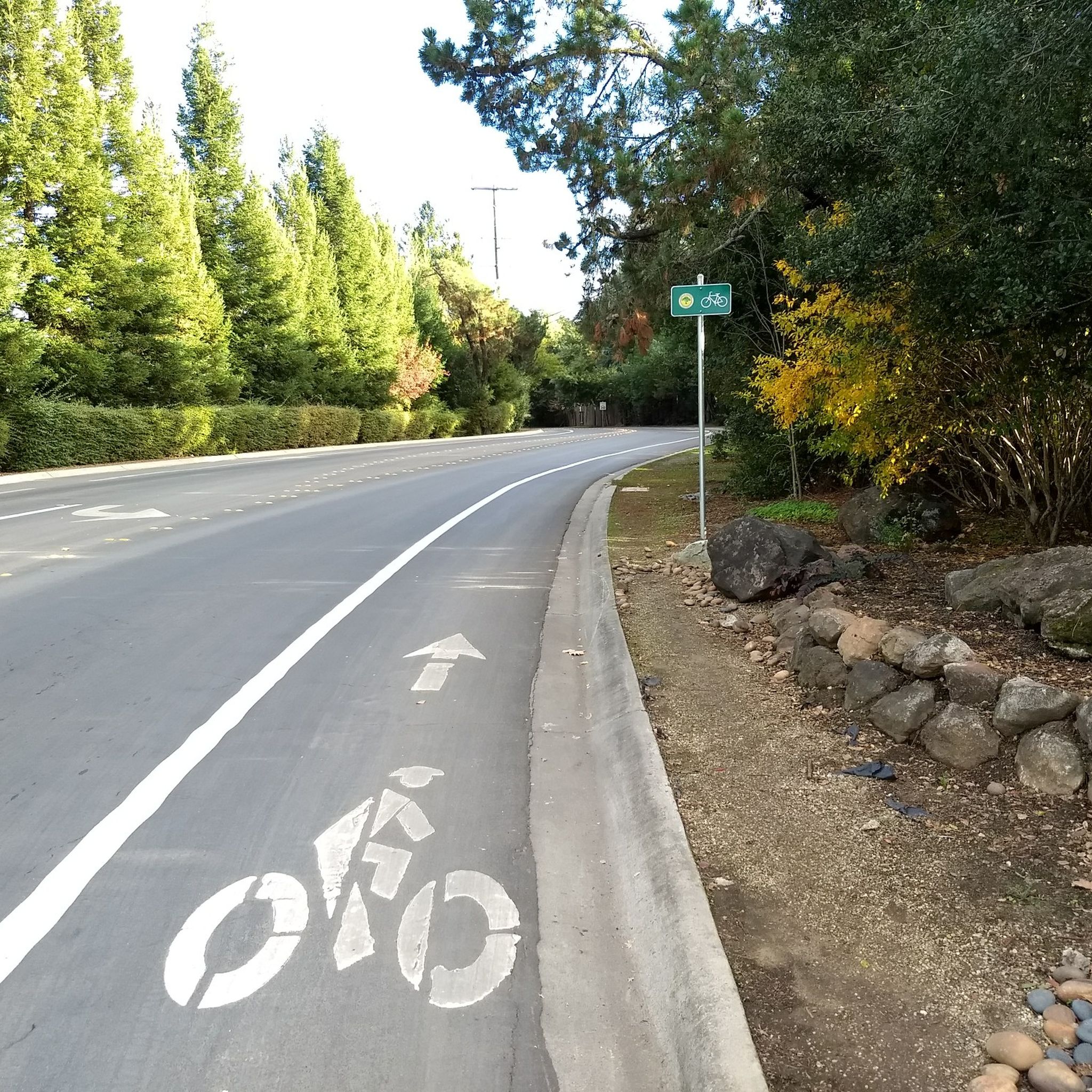
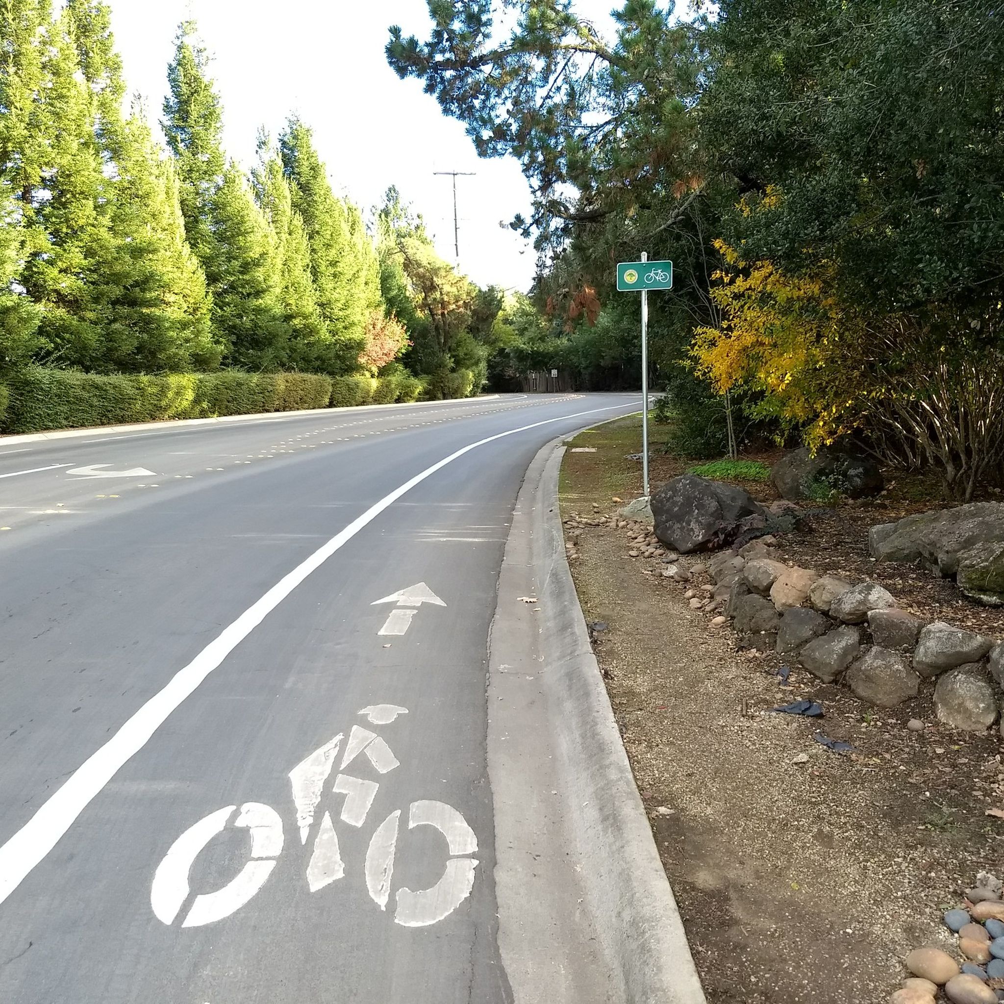
This mostly paved bike trail alongside Alpine Road is great for bike commuting — just don't run over any slower trail users! The trail runs all the way from Portola Valley to Stanford, offering some nice shade along the way. The brief moments of unpaved trail are near the Portola Valley end.
0
0

This fantastic tavern, founded in 1852, is the second oldest in the state. It features a large, beer garden-style outdoor area with plenty of shade. An extensive beer and food menu makes it a perfect stop to enjoy a brew and some great food after a ride.
0
0
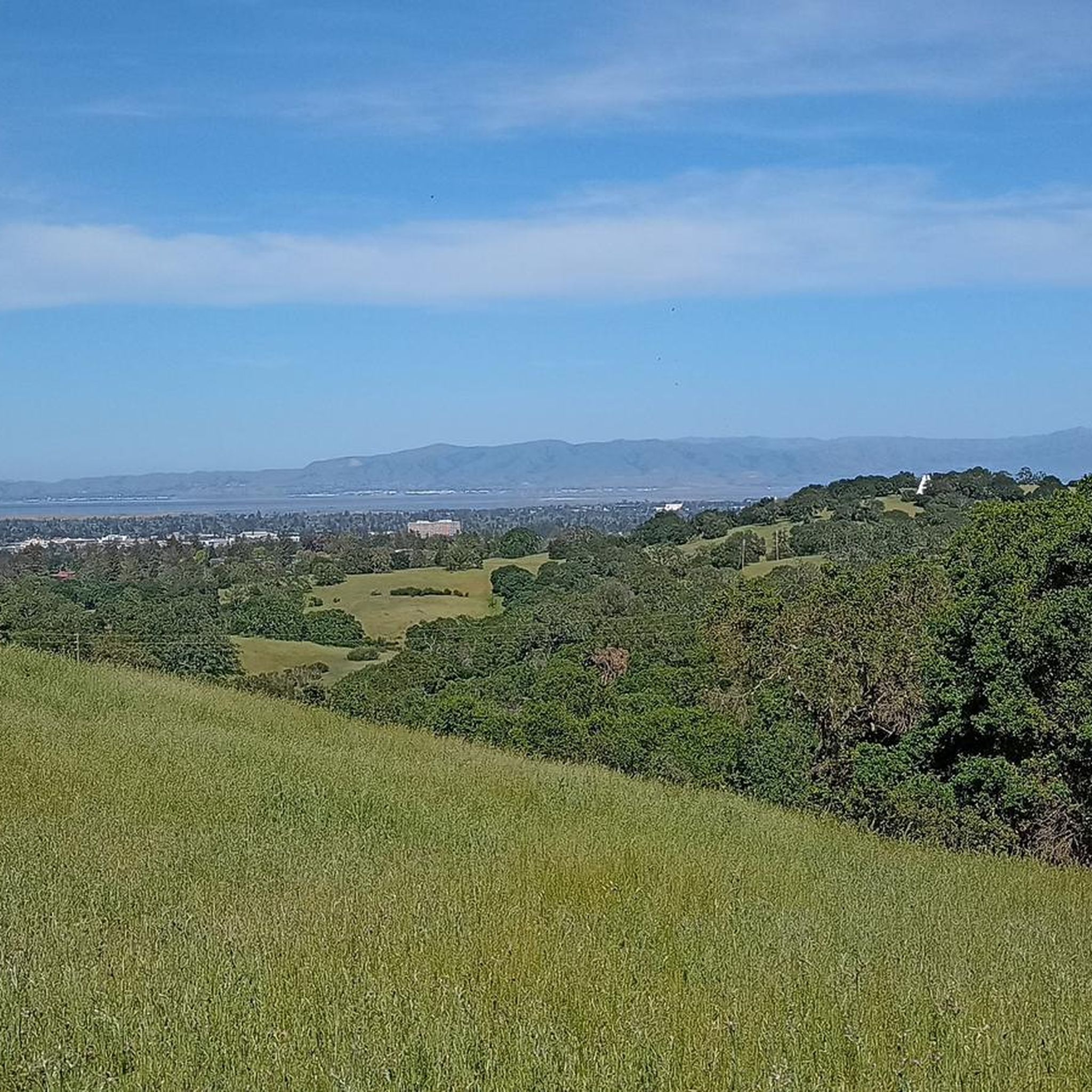
The Dish, or the Stanford Dish, is a huge, 150-foot-diameter radio antenna. Built in 1961 by the Stanford Research Institute, it is still in use by the university today and is a popular hiking destination. In addition to views of the Stanford Dish, you also get panoramic views of the surrounding foothills and, on clear days, the San Francisco skyline. The area is known for its wildlife, including various bird species, so be on the lookout as you explore The Dish.
1
0

At Fracisquito's Creek crossing with Parklane you will find huge old majestic eucalyptus trees at Piers entry to Dish.
0
0

The Dish Trail is entirely paved making for a great spot to run laps or an easy hike. It is very exposed here, so you'll definitely need sunscreen and water. The trail is called the Dish Trail due to the giant satellite dish located here.
0
0
Lake Lagunita was created in 1870 to provide irrigation to the Palo Alto Stock Farm. The Lake has not been filled by the city since 2001, but is now fed by a drainage basin that serves as a important breeding ground for amphibians, rabbits, and squirrels.
0
0

The beer garden is really nice!
0
0
Frequently Asked Questions
How many running routes are available in West Menlo Park?
West Menlo Park offers a wide variety of running routes, with over 230 options available. These range from easy, flat paths to more challenging trails with significant elevation gains, catering to all fitness levels.
Are there any easy or beginner-friendly running routes in West Menlo Park?
Yes, West Menlo Park has numerous easy running routes, with over 30 options perfect for beginners or those seeking a relaxed jog. A popular choice is the Lake Lagunita loop, an easy 1.3-mile path featuring wooded sections and open stretches around the lake on the Stanford University campus.
Where can I find challenging running trails in West Menlo Park?
For those seeking a more challenging run, West Menlo Park and its surrounding areas offer nearly 40 difficult routes. These often feature rolling hills and elevation gains, particularly in areas closer to the Santa Cruz Mountains. The Rossotti's Alpine Inn – Dwight Crowder Path loop from Stanford University is a moderate option that provides a good workout with varied terrain.
What kind of scenic views can I expect on running routes in West Menlo Park?
Runners in West Menlo Park can enjoy diverse scenic views. The Stanford Dish Loop offers panoramic vistas of the Stanford campus, Santa Clara Valley, and the Santa Cruz Mountains. Bedwell Bayfront Park provides extensive views of the San Francisco Bay, salt ponds, and marshlands, ideal for birdwatching. Other routes traverse rolling hills, oak woodlands, and the iconic architecture of the Stanford University campus.
Are there any running routes that are circular or loop trails?
Yes, many running routes in West Menlo Park are designed as loops, offering convenient circular paths. Examples include the Lake Lagunita loop, the Stanford Dish Loop, and the Hoover Tower – Stanford University Main Quad loop from Stanford University, which showcases campus landmarks.
What do other runners enjoy most about the trails in West Menlo Park?
The running routes in West Menlo Park are highly rated by the komoot community, with an average score of 4.3 stars from over 40 reviews. Runners often praise the varied terrain, from serene lake loops to challenging hill climbs, and the beautiful natural surroundings, including panoramic views and opportunities for wildlife spotting.
Are there any notable landmarks or attractions to see while running in West Menlo Park?
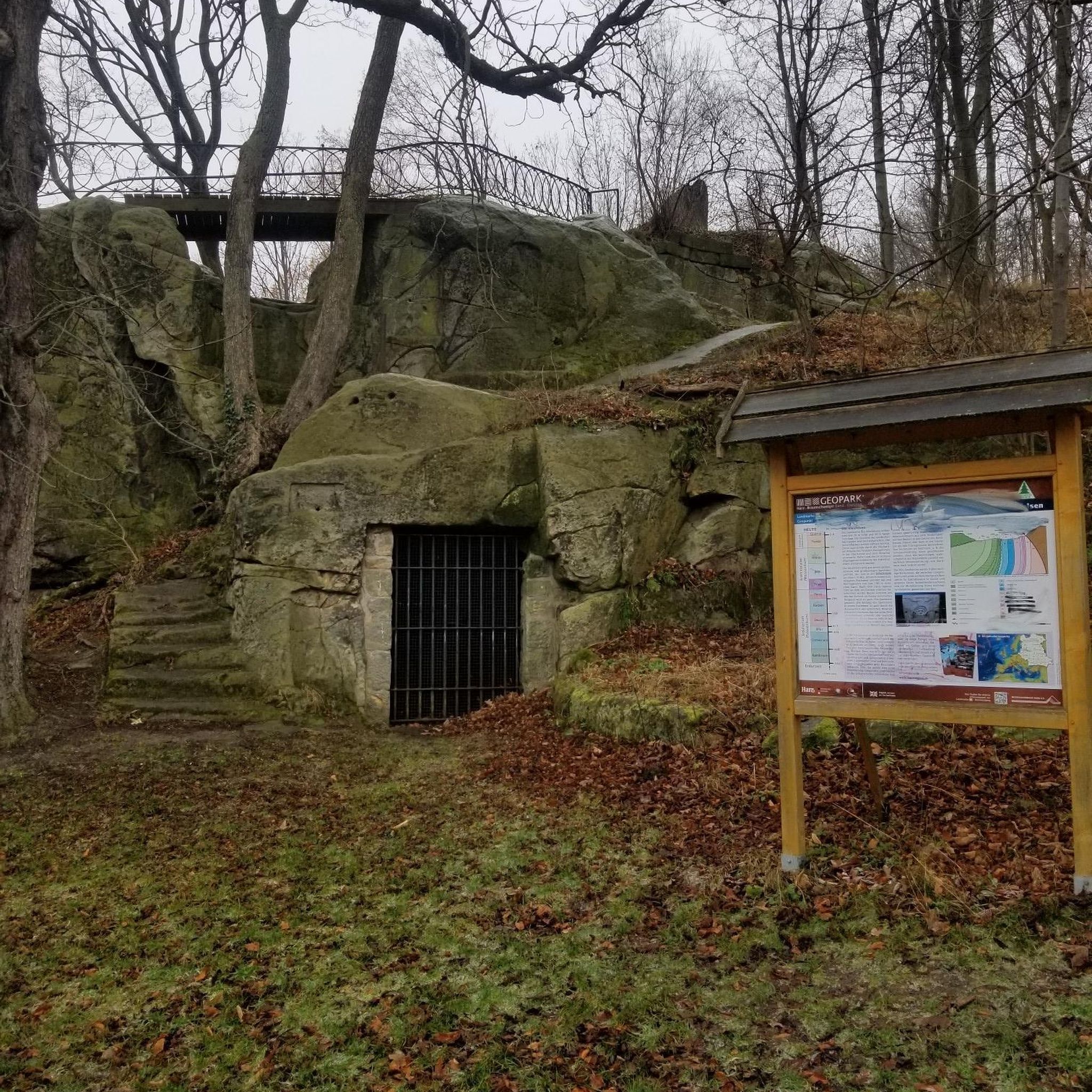
Yes, several routes offer views of interesting landmarks. The Stanford University campus routes, like the Hoover Tower – Stanford University Main Quad loop, pass by iconic architecture and gardens. For natural features, you might encounter the Tafoni Sandstone Formation or the Windy Hill Summit in the broader area, offering unique sights and expansive views.
Are there running paths suitable for families in West Menlo Park?
Many of the easier, flatter routes are well-suited for families. The Lake Lagunita loop is an excellent option, providing a gentle, scenic path around the lake. Sharon Park also offers well-maintained, peaceful paths ideal for leisurely jogs with family.
Are there any long-distance running routes in the West Menlo Park area?
For those looking for longer runs, West Menlo Park provides several options. Routes like The Dish – Lake Lagunita loop from Stanford University cover about 7 miles, combining popular local trails for an extended experience. The extensive trail system at Bedwell Bayfront Park also allows for longer, customizable runs along the San Francisco Bay.
What are the best times of day or year to go running in West Menlo Park?
West Menlo Park offers good running conditions year-round. Mornings and late afternoons are generally best to avoid the midday sun, especially on trails with limited shade like parts of the Stanford Dish Loop. During warmer months, early mornings are preferable. The mild California climate makes winter running enjoyable, though some trails might be muddy after rain.
Are there any running routes near water or marshlands?
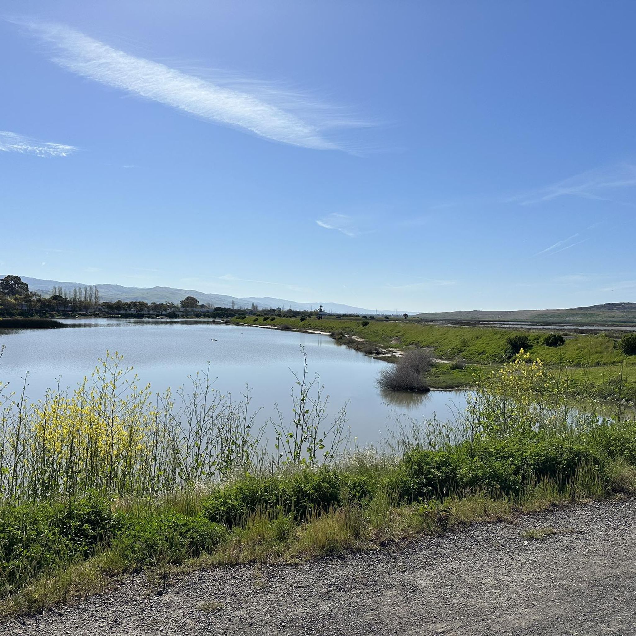
Yes, Bedwell Bayfront Park, located at the east end of Menlo Park, offers an extensive trail system surrounded by the Don Edwards San Francisco Bay National Wildlife Refuge. Here, you can enjoy running along the San Francisco Bay, salt ponds, and marshlands, with excellent opportunities for birdwatching. The San Francisco Bay Trail also passes through this area.
Are there any specific parks or areas known for running in West Menlo Park?
Several key areas are popular for running. The Stanford University campus, including the Lake Lagunita loop and routes around Hoover Tower, is a favorite. The Stanford Dish Loop is highly popular for its views. Bedwell Bayfront Park offers unique marshland and bay views, while Sharon Park and Sharon Hills Park provide peaceful, landscaped settings for a jog.
Most popular attractions around West Menlo Park

Get inspired with the komoot mobile app


Explore more
Browse the best Running Trails & Routes in other regions.
