The best running trails around Tahoma
5.0
(2)
133
runners
26
runs
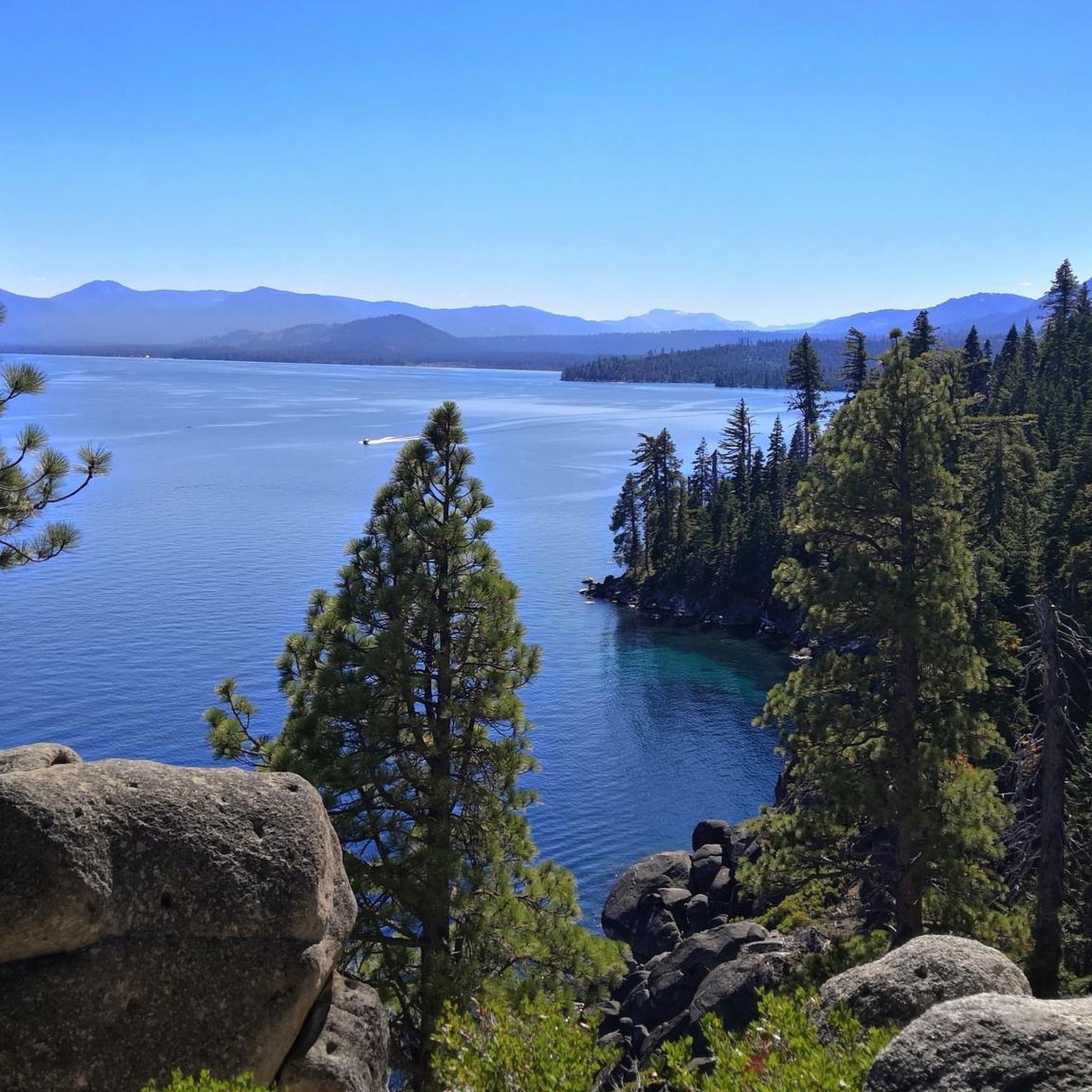
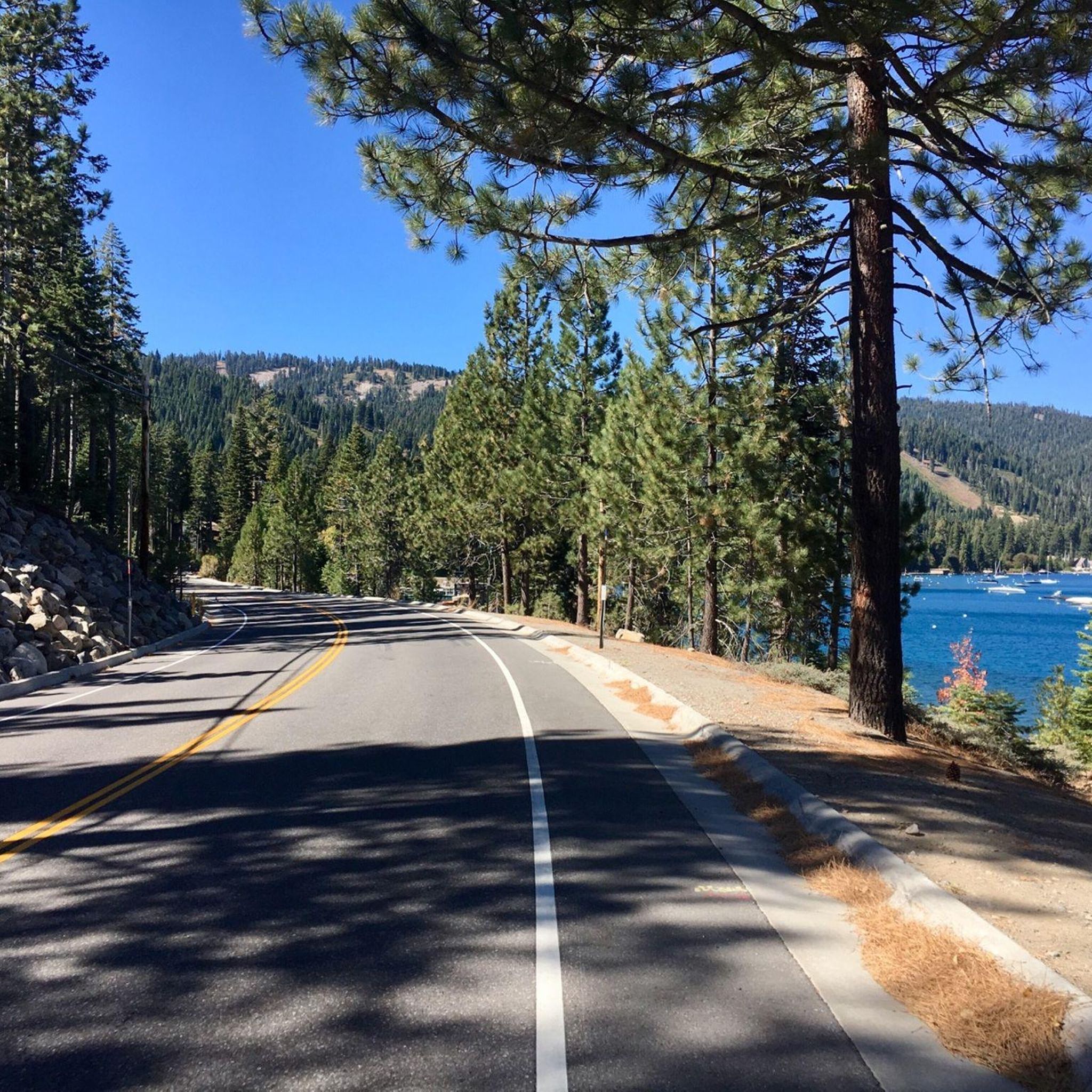
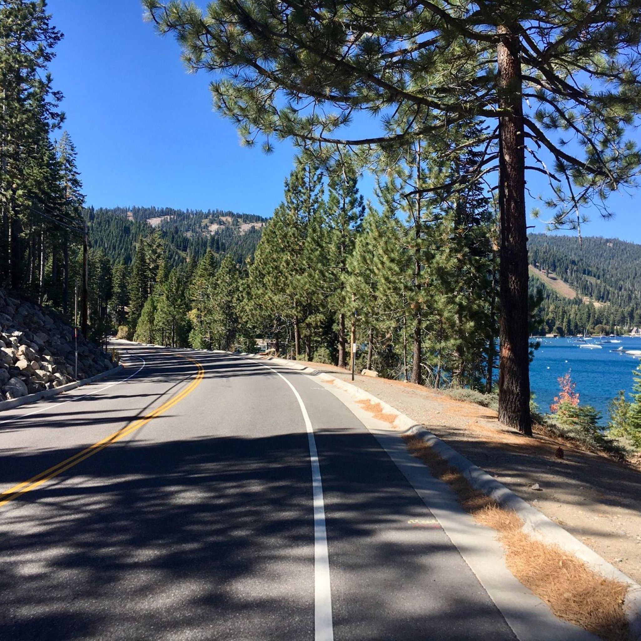
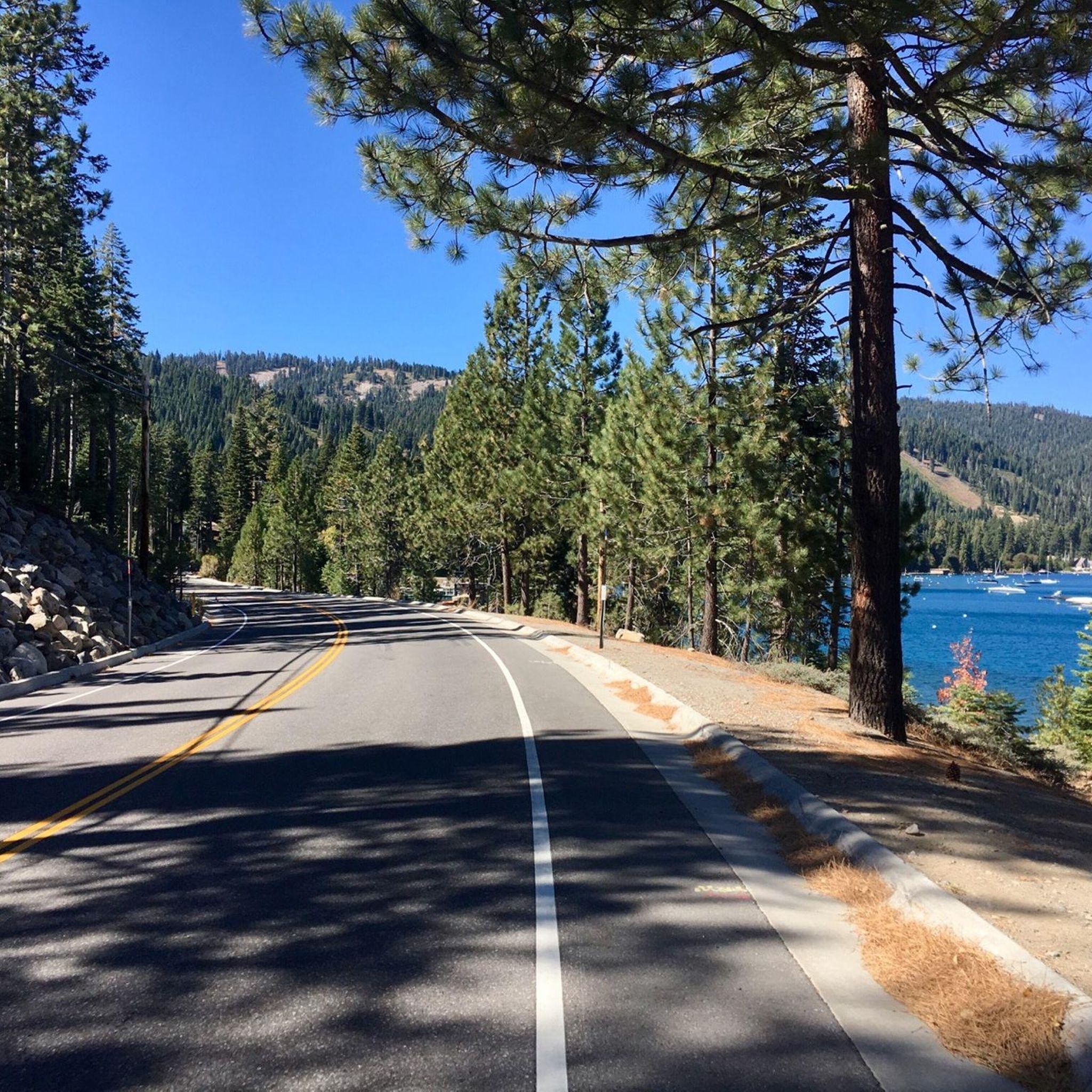
Jogging around Tahoma offers diverse running routes along the western shore of Lake Tahoe. The area features trails through state parks, lush forested areas, and paths with views of the lake and Emerald Bay. Runners can explore varied terrain, from paved sections to more rugged trails, within this scenic California region.
Best jogging routes around Tahoma
- The most popular jogging route is Tahoma to Lily Pond Trailhead loop, a 6.3 miles (10.2 km) trail that takes 1 hour 8 minutes to complete. This moderate route offers views of Lake Tahoe and passes through forested areas.
- Another top favourite among local runners is Edwin Z'berg Natural Preserve loop, an easy 2.8 miles (4.6 km) path. This route provides a gentle run through a natural preserve, suitable for various fitness levels.
- Local runners also love the Ellis Peak run, a 10.1 miles (16.3 km) trail leading through forested slopes with significant elevation gain, often completed in about 2 hours 17 minutes.
- Jogging around Tahoma is defined by lakeside paths, forested trails, and routes offering views of Lake Tahoe. The network provides options for different ability levels, from easy loops to more challenging ascents.
- The routes in Tahoma are highly rated by the komoot community with an average score of 5.0 stars from over 2 reviews. More than 130 runners have used komoot to explore Tahoma's varied terrain.
Last updated: May 12, 2026
6
runners
4.58km
00:31
30m
30m
The Edwin Z'berg Natural Preserve loop offers an easy jogging experience through a diverse old-growth forest. You will wind among towering firs, pines, and aspens, enjoying plenty of shade and beautiful views of Lake Tahoe. This gentle route covers 2.8 miles (4.6 km) with a minimal elevation gain of 99 feet (30 metres), making it perfect for a quick 31-minute run.
When you plan your visit, remember that dogs are not allowed on the dirt trails within Ed Z'berg Sugar Pine Point State Park, which includes this route. However, your furry friends are welcome in the park's developed picnic and day-use areas. Parking is generally available within the state park, so you should find a spot easily.
As you jog, keep an eye out for the unique maritime navigational light, which is noted as the highest elevation operational lighthouse in the world. This distinctive landmark adds a special touch to your outing. The trail provides a refreshing escape into nature, allowing you to enjoy the serene environment of the preserve.
1
runners
10.2km
01:08
100m
100m
Jog the Tahoma to Lily Pond Trailhead loop, a 6.4-mile moderate route in Ed Z'berg Sugar Pine Point State Park.

Sign up for free
16.3km
02:18
740m
740m
The Ellis Peak run is a difficult 10.1-mile (16.3 km) jogging trail with 2437 feet (743 metres) of elevation gain and panoramic views.
3.54km
00:24
20m
20m
Jog the easy 2.2-mile Edwin Z'berg Natural Preserve loop in Tahoma, offering Lake Tahoe views and old-growth forest scenery.
11.5km
01:29
230m
230m
Explore the Richardson Lake Trail, a challenging 7.1-mile route through forests and meadows to an alpine lake, offering panoramic views.
Get access to more routes and recommendations from other explorers.
Sign up for free
Already have an account?
Our route recommendations are based on thousands of hikes, rides, and runs completed by other people on komoot.
Start today with a free account
Your next adventure awaits.
Login or Signup
Tips from the Community

Lily Pond Trail starts here and then follows General Creek upstream. This is a junction for the wider North Fire Road, South Fire Road, and Lily Pond Trail. There is a network of running trails here in the summer and cross-county trails here in the winter. Good signage is all around which makes trails even easier to follow.
0
0
General Creek Campground, the largest of the three west shore state park campgrounds, is quite big with 175 sites. It feels remote being in a pine and cedar forest, but is just across Highway 89 from the lakeside day use area of Sugar Pine Point. It has beach access, woods and is easy to access.
0
0
Sugar Pine Point State Park has a beach and a dock and is located in a historic zone, next to Pine Lodge Mansion. The size of the beach changes with the water level of Lake Tahoe. With crystal-clear water, it's a great choice for a summer dip.
0
0
At this point, the General Creek finishes its run through the mountains and ends in Lake Tahoe at Sugar Pine Point State Park.
0
0

This state park has nearly two miles of shoreline and over 2,500 acres of forested mountains. The name of this park changed from Sugar Pine Point State Park to Ed Z'berg Sugar Pine Point State Park in 2009 to honor Edwin L. Z'berg, a very environmentally-involved California state assemblyman.
0
0
General Creek Bridge passes over General Creek with a pretty bridge that gently curves up in the middle, keeping bikers and hikers from getting their feet wet. This wooded area is a great place to feel remote without being too far from a major road.
0
0

Ellis Peak, in the Tahoe National Forest, is known for its stunning panoramic views of Lake Tahoe and the surrounding mountains. Once you reach the top, take your time and enjoy the moment.
0
0
Frequently Asked Questions
How many running routes are available in Tahoma?
Tahoma offers a wide selection of running routes, with over 25 different trails to explore. These routes cater to various fitness levels, from easy jogs to more challenging runs.
What kind of terrain can I expect on Tahoma's running trails?
The running trails in Tahoma feature diverse terrain, including paved sections, forested paths, and more rugged trails. Many routes offer stunning views of Lake Tahoe and Emerald Bay, providing a scenic backdrop for your run.
Are there any easy or beginner-friendly running routes in Tahoma?
Yes, Tahoma has several easy running routes perfect for beginners or those looking for a gentle jog. A great option is the Edwin Z'berg Natural Preserve loop, which is an easy 2.8-mile path through a natural preserve.
Can I bring my dog on the jogging trails around Tahoma?
Many trails in the Tahoma area are dog-friendly, but it's always best to check specific park regulations or trail signage before heading out. Generally, dogs are welcome on leash in many parts of the Tahoe National Forest and Desolation Wilderness, which are accessible from Tahoma.
Are there any family-friendly running paths suitable for strollers?
For family-friendly options, especially with strollers, look for paved or well-maintained gravel paths. The Ed Z'berg Sugar Pine Point State Park, which hosts routes like the Tahoma to Lily Pond Trailhead loop, often has sections suitable for strollers, particularly on its more developed paths.
What are some notable landmarks or viewpoints I can see while jogging in Tahoma?
While jogging in Tahoma, you can enjoy breathtaking views of Lake Tahoe and Emerald Bay. Specific highlights include the Rubicon Trail North – Lake Tahoe Views and the View of Lake Tahoe from Rubicon Trail. You might also encounter the historic Rubicon Point Light or explore parts of the Rubicon Trail (D.L. Bliss State Park).
Are there loop running trails available in Tahoma?
Yes, Tahoma offers several excellent loop running trails. Popular options include the Tahoma to Lily Pond Trailhead loop, a moderate 6.3-mile route, and the Edwin Z'berg Natural Preserve loop, which is an easier 2.8-mile option.
What is the best time of year to go jogging in Tahoma?
The best time for jogging in Tahoma is typically from late spring through early fall (May to October) when the weather is mild and trails are clear of snow. During these months, you can enjoy lush alpine scenery in summer and vibrant autumn colors in fall. Winter running is possible but may require appropriate gear for snow and ice.
Are there options for parking near the trailheads in Tahoma?
Yes, parking is generally available near trailheads and state parks in Tahoma, though some areas, especially popular ones like Ed Z'berg Sugar Pine Point State Park, may have fees or limited spaces during peak season. It's advisable to arrive early, especially on weekends, to secure a spot.
Is public transport available to access running trails in Tahoma?
While public transport options directly to every trailhead might be limited, the Tahoe Area Regional Transit (TART) system serves the Lake Tahoe West Shore, including Tahoma. Check their schedules for routes that can get you close to various parks and trail access points.
What are the typical lengths of jogging routes in Tahoma?
Jogging routes in Tahoma vary significantly in length. You can find shorter, easy paths like the 2.8-mile Edwin Z'berg Natural Preserve loop, moderate routes such as the 6.3-mile Tahoma to Lily Pond Trailhead loop, and longer, more challenging runs like the 10.1-mile Ellis Peak run.
Can I spot any wildlife while running on the trails?
Yes, the Tahoma area, being close to wilderness regions like Desolation Wilderness and Tahoe National Forest, offers opportunities for wildlife spotting. Runners might encounter various bird species, deer, and smaller mammals. Always maintain a respectful distance and be aware of your surroundings.
What do other runners say about the jogging experience in Tahoma?
The running experience in Tahoma is highly rated by the komoot community, with an average score of 5.0 stars from over 2 reviews. Runners often praise the stunning lake views, the variety of terrain, and the peaceful forested areas that make for an enjoyable and scenic run.
Most popular routes around Tahoma
Most popular attractions around Tahoma

Get inspired with the komoot mobile app


Explore more
Browse the best Running Trails & Routes in other regions.
