The best MTB trails around Tahoma
4.7
(4)
137
riders
9
rides
Mountain biking around Tahoma offers a diverse landscape characterized by forested hills, lakeside paths, and challenging climbs. The region features a mix of terrain, from established trails near the shore to more rugged routes ascending into higher elevations. Riders can expect varied surfaces, including dirt paths and some rocky sections. This area provides a range of mountain bike trails suitable for different skill levels.
Best mountain bike trails around Tahoma
- The most popular mountain bike trail is Stanford Rock Loop…
Last updated: May 11, 2026
5.0
(1)
19
riders
24.6km
02:32
650m
650m
Stanford Rock Loop is a difficult 15.3-mile mountain biking trail near Tahoe City, offering panoramic Lake Tahoe views and technical descent
4.0
(2)
45
riders
25.1km
02:39
670m
670m
Moderate mountain bike ride. Good fitness required. Suitable for all skill levels.

Sign up for free
18
riders
30.7km
02:58
680m
680m
Moderate mountain bike ride. Good fitness required. Advanced riding skills necessary.
5.0
(1)
10
riders
53.9km
02:49
260m
260m
Moderate mountain bike ride. Good fitness required. Suitable for all skill levels.
6
riders
11.5km
01:02
150m
150m
Moderate mountain bike ride. Great for any fitness level. Advanced riding skills necessary.
Get access to more routes and recommendations from other explorers.
Sign up for free
Already have an account?
Our route recommendations are based on thousands of hikes, rides, and runs completed by other people on komoot.
Start today with a free account
Your next adventure awaits.
Login or Signup
Tips from the Community

The Tahoe Rim Trail crosses the 121-mile-long Truckee River. Stare down into the crystal clear, cold water. Truckee River is the only outlet of Lake Tahoe, and it empties into Pyramid Lake, creating an Truckee River is the only outlet of Lake Tahoe and it empties into Pyramid Lake creating an endorheic (closed) basin. (closed) basin.
0
0

Page Meadows is an expansive reach of meadows with no designated trails. You can bring your dog to let them frolic while you enjoy the views of the lake and the surrounding forest. The flowers in the spring are a wild sight.
0
0

Very Nice and Easy trail for all, ride it from Tahoe City all the way to Palisades if you like. beautiful scenery and views along the Truckee River.
0
0

The Tahoe Rim Trail is a 170-mile-long trail that circles Lake Tahoe. It is a popular route, so there is a good chance you will see others out enjoying the trails.
0
0
Scott Peak sits at an elevation of 8,293 feet and gives summiteers a great view of the lake and surrounding mountain area. Just downhill to the west is the top of the Scott Chair of Alpine Meadows.
0
0

Paige Meadows is popular with hikers and bikers in the summer, XC skiers in the winter, wildflower, and foliage chasers in the spring & fall. The stunning beauty is the main attraction, but be sure to keep an eye out for others on the trail.
0
0
This state park has nearly two miles of shoreline and over 2,500 acres of forested mountains. The name of this park changed from Sugar Pine Point State Park to Ed Z'berg Sugar Pine Point State Park in 2009 to honor Edwin L. Z'berg, a very environmentally-involved California state assemblyman.
0
0
The West Shore Trail is a popular multi-use trail from Tahoe City to Meeks Bay. It gives you great views of Lake Tahoe and is mostly off-road.
0
0
Frequently Asked Questions
How many mountain bike trails are available in Tahoma?
There are 9 mountain bike trails around Tahoma listed on komoot, offering a diverse range of experiences from easy rides to challenging climbs.
Are there mountain bike trails suitable for beginners in Tahoma?
Yes, Tahoma offers 2 easy mountain bike trails perfect for beginners. These routes provide a gentle introduction to the region's scenic beauty without overly demanding technical sections.
What are the typical durations for mountain bike trails in Tahoma?
Trail durations in Tahoma vary significantly. For example, the William Kent Beach – Sunnyside Restaurant & Lodge loop from Sunnyside-Tahoe City can be completed in about 1 hour 42 minutes, while longer routes like the Page Meadows – West Shore Trail loop from Sunnyside-Tahoe City might take around 2 hours 58 minutes.
Are there any family-friendly mountain biking options in Tahoma?
While specific 'family-friendly' designations aren't always clear-cut, the 2 easy trails in Tahoma are generally suitable for riders with less experience, which can include families. These routes tend to have less elevation gain and smoother surfaces.
What kind of scenic views can I expect on Tahoma's mountain bike trails?
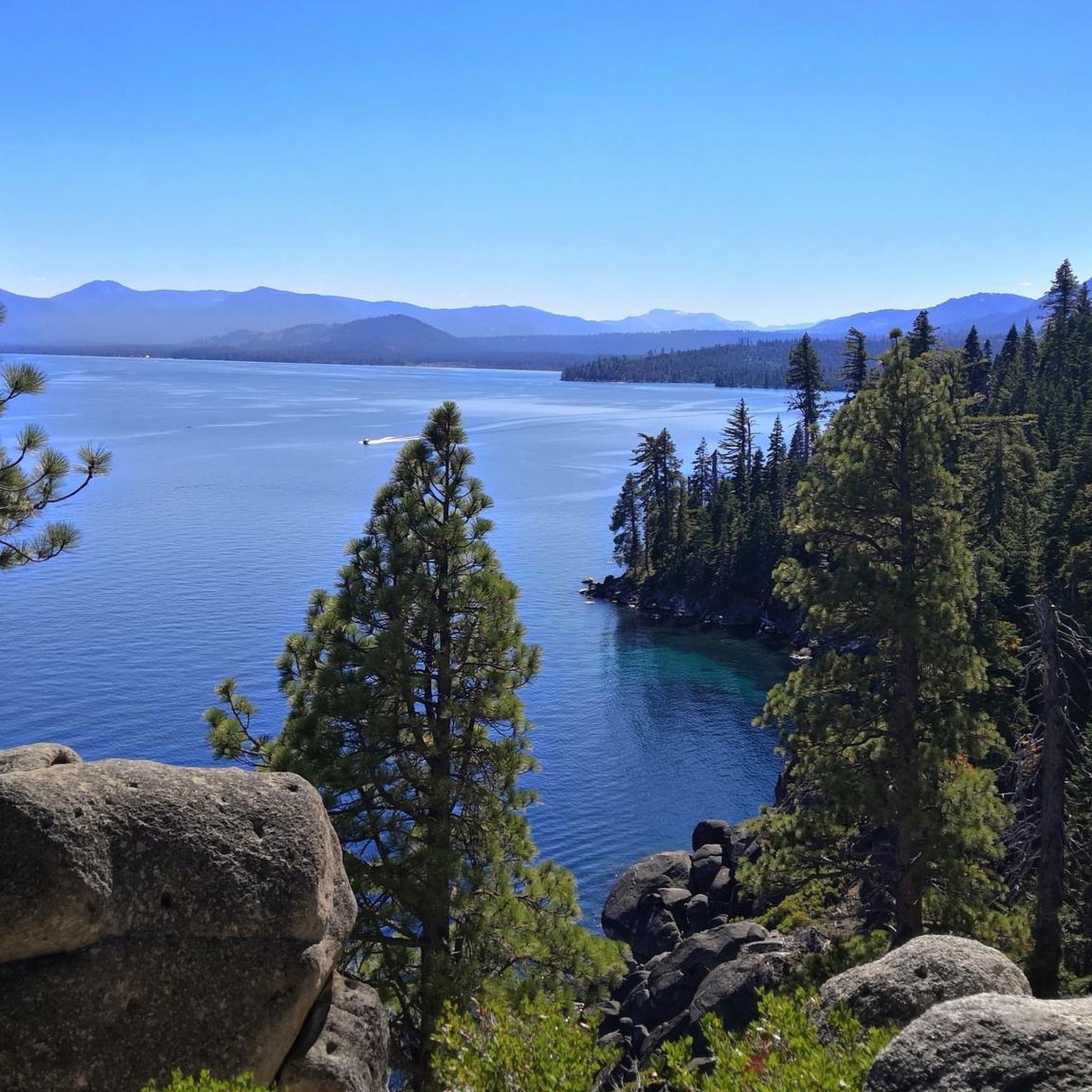
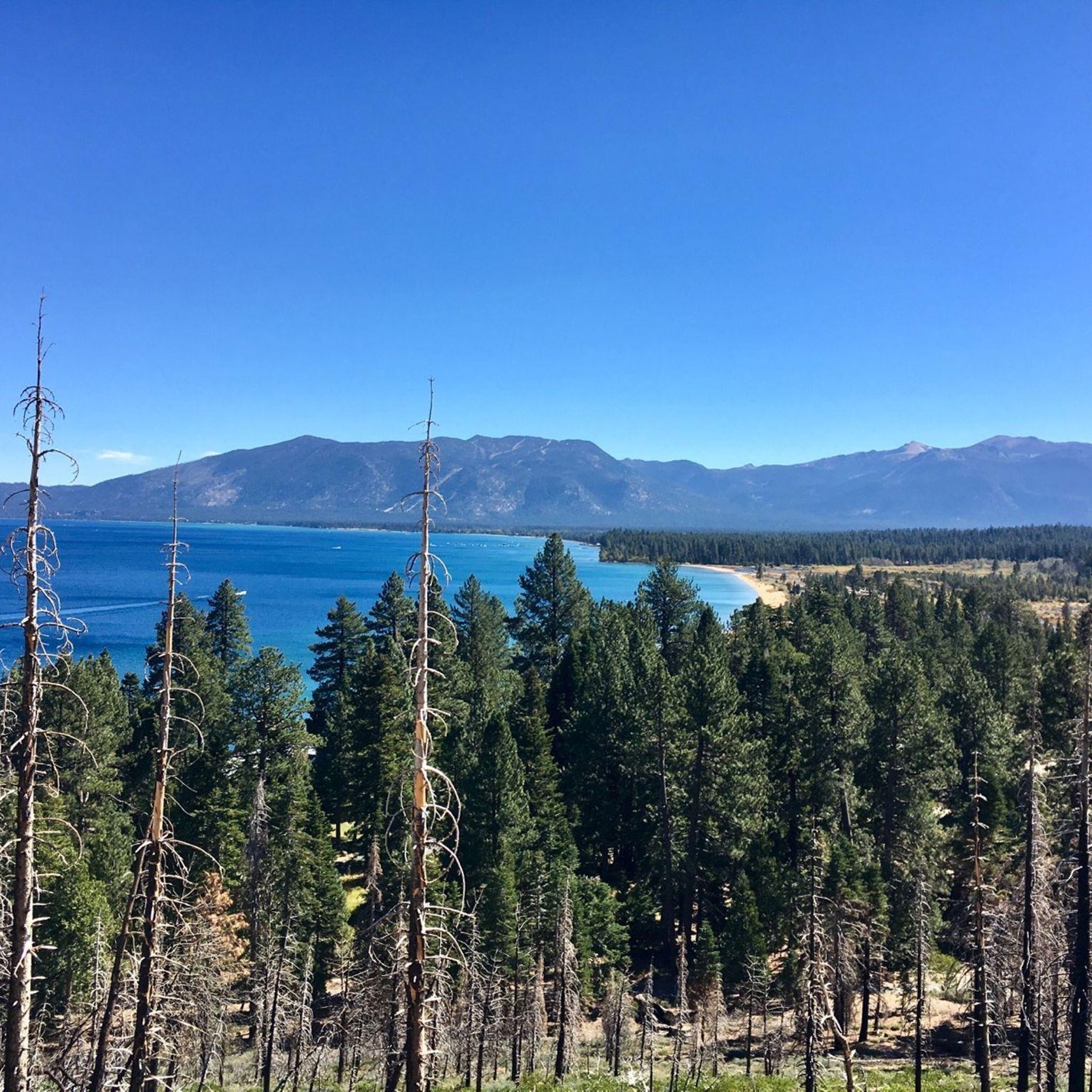
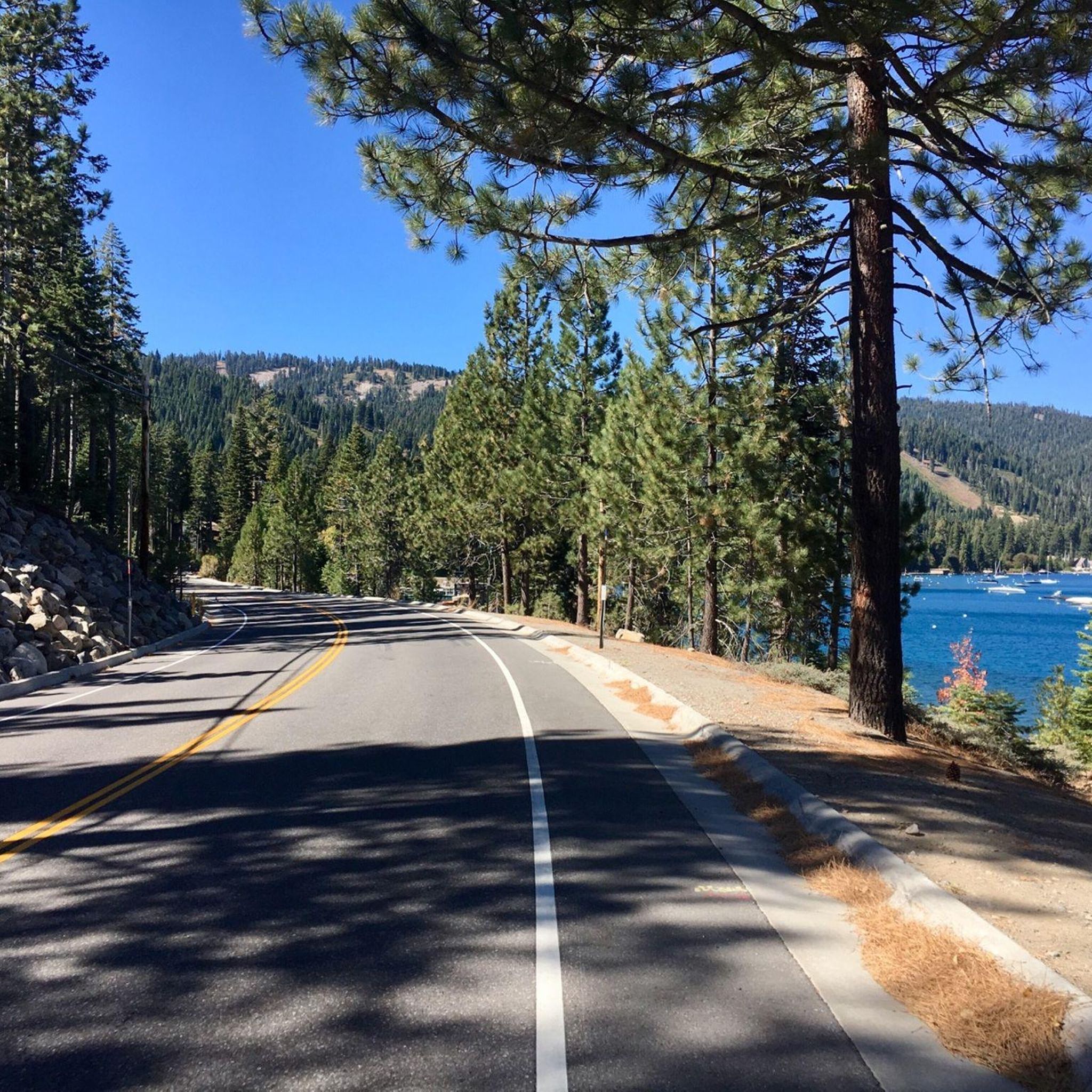
Tahoma's mountain bike trails offer a variety of scenic views, including forested sections, panoramic vistas from higher elevations, and beautiful lakeside paths along the West Shore of Lake Tahoe. Routes like the Stanford Rock Loop are known for their panoramic views.
Are there any circular mountain bike routes in Tahoma?
Yes, many of the mountain bike trails in Tahoma are designed as loops. Examples include the challenging Stanford Rock Loop and the moderate Stanford Rock – West Shore Trail loop from Sunnyside, allowing you to start and end at the same point.
What do other mountain bikers enjoy most about mountain biking in Tahoma?
The mountain bike trails in Tahoma are highly rated by the komoot community, with an average score of 4.7 stars from over 4 reviews. Riders often praise the diverse landscape, which includes forested hills, challenging climbs, and beautiful lakeside paths, as well as the variety of terrain suitable for different skill levels.
What are some interesting landmarks or attractions near the mountain bike trails in Tahoma?
While riding, you might encounter several interesting points. The West Shore Trail itself is a highlight, and you can also find attractions like Page Meadows. For stunning views of Lake Tahoe, consider highlights like Rubicon Trail North – Lake Tahoe Views.
Are there any long-distance mountain bike routes in Tahoma?
For those looking for a longer ride, the Truckee River Trail – Truckee River Trail loop from Tahoma is a substantial option, covering approximately 33.5 miles (53.9 km). This moderate route offers a significant distance for an extended mountain biking experience.
What is the best time of year for mountain biking in Tahoma?
The best time for mountain biking in Tahoma is typically from late spring through early fall, when the weather is mild and trails are clear of snow. Summer offers warm, sunny conditions, while spring and fall provide cooler temperatures and vibrant scenery.
Are there any mountain bike trails that offer a mix of forested and lakeside riding?
Yes, several trails in Tahoma combine forested sections with views of Lake Tahoe. The Stanford Rock – West Shore Trail loop from Sunnyside is a great example, offering a balanced experience of both environments.
Most popular routes around Tahoma
Most popular attractions around Tahoma

Get inspired with the komoot mobile app


Explore more
Browse the best MTB trails in other regions.
