The best running trails around Loyola
4.4
(73)
5,593
runners
388
runs
Jogging around Loyola offers a diverse range of environments, from urban green spaces to wooded campus trails and lakeside paths. The various Loyola campuses across the United States provide unique landscapes, including pedestrian-friendly cores, open fields, and proximity to larger natural areas. Runners can find routes that traverse campus grounds, explore adjacent parks, or follow scenic waterfronts, catering to different preferences and fitness levels.
Best jogging routes around Loyola
- The most popular jogging route is PG&E, Black Mountain, Chamise and Rogue Valley Trail Loop, a 14.7 miles (23.7 km) trail that takes 2 hours 59 minutes to complete. This challenging route features significant elevation gain through varied terrain.
- Another top favourite among local runners is High Meadow and Wildcat Loop, a moderate 5.7 miles (9.2 km) path. This route offers a balanced workout with rolling hills and scenic views.
- Local runners also love the Hammond-Snyder Loop Trail, a 2.1 miles (3.4 km) trail leading through open green spaces, often completed in about 22 minutes.
- Jogging around Loyola is defined by campus green spaces, wooded paths, and access to larger park districts. The network offers options for different ability levels, from easy loops to more difficult trails with considerable elevation.
- The routes in Loyola are highly rated by the komoot community with an average score of 4.5 stars from over 70 reviews. More than 5000 runners have used komoot to explore Loyola's varied terrain.
Last updated: August 26, 2026
53
runners
23.7km
03:00
610m
610m
Hard run. Very good fitness required. Mostly paved surfaces. Suitable for all skill levels.
5.0
(1)
44
runners
9.20km
01:09
250m
250m
Moderate run. Good fitness required. Mostly paved surfaces. Suitable for all skill levels.

Sign up for free
1
runners
3.36km
00:22
30m
30m
Easy run. Great for any fitness level. Mostly paved surfaces. Suitable for all skill levels.
5.0
(4)
93
runners
Moderate run. Good fitness required. Mostly paved surfaces. Suitable for all skill levels.
60
runners
17.0km
02:09
430m
430m
Hard run. Very good fitness required. Mostly paved surfaces. Suitable for all skill levels.
Get access to more routes and recommendations from other explorers.
Sign up for free
Already have an account?
Our route recommendations are based on thousands of hikes, rides, and runs completed by other people on komoot.
Start today with a free account
Your next adventure awaits.
Login or Signup

Tips from the Community

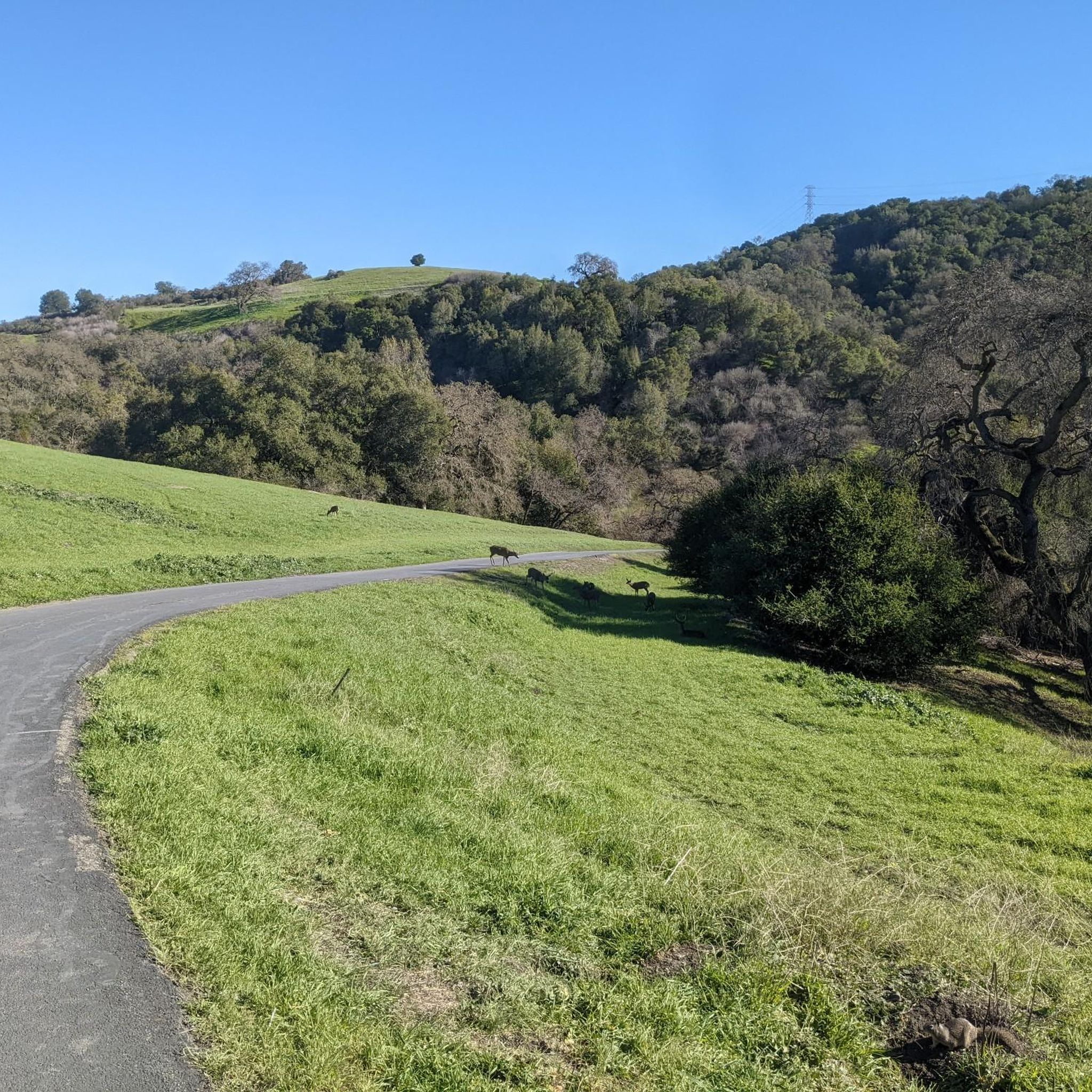
Rancho San Antonio County Park shares a boundary with Rancho San Antonio Open Space Preserve, which adds almost 4,000 acres of nature to the 289-acre park. The trails are well-kept and well-marked, but all bikes need to keep on paved-paths only.
0
0

Quite steep on the south side but a really nice outlook over the south bay. Was a great little spot to stop in the shade in the afternoon and take in the view and the breeze
0
0

You can see great views from this spot along the High Meadow Trail. Views include the San Francisco Bay to the northwest and the opposing mountains to the east. There is a small bench to relax on and even enjoy a picnic.
0
0
You can see great views from this spot along the Upper High Meadows Trail. Views include the San Francisco Bay to the northwest and the opposing mountains to the east.
0
0
Rancho San Antonio County Park shares a boundary with Rancho San Antonio Open Space Preserve, which adds almost 4,000 acres of nature to the 289-acre park. The trails are well-kept and well-marked, and are generally pretty easy if you just stick close to the car. Some of the trails in the heart of the park have some hills and offer great views of the surrounding preserve and the city off in the distance.
0
0
Rancho San Antonio County Park shares a boundary with Rancho San Antonio Open Space Preserve, which adds almost 4,000 acres of nature to the 289-acre park. The trails are well-kept and well-marked and are generally pretty easy if you just stick close to the car. Some of the trails in the heart of the park have some hills and offer great views of the surrounding preserve and the city off in the distance.
0
0

Cross under the power lines and see more great views.
0
0
Frequently Asked Questions
How many running routes are available around Loyola?
There are over 300 running routes around Loyola, offering a wide variety of options for different preferences and fitness levels. These include easy loops, moderate paths, and more challenging trails with significant elevation changes.
What kind of terrain can I expect on jogging trails near Loyola?
Jogging routes around Loyola offer diverse terrain. You can find urban green spaces, wooded campus trails, and paths near waterfronts like Lake Michigan (Loyola University Chicago). Some routes feature rolling hills, while others provide flatter, more accessible surfaces. For example, the PG&E, Black Mountain, Chamise and Rogue Valley Trail Loop offers varied terrain with significant elevation.
Are there easy or beginner-friendly running paths around Loyola?
Yes, Loyola offers several easy and beginner-friendly running paths. For instance, the Hammond-Snyder Loop Trail is a 2.1-mile (3.4 km) route through open green spaces, perfect for a lighter jog. Many campus green spaces, like those at Loyola University Chicago or Loyola Marymount University, also provide suitable areas for leisurely runs.
What are some scenic running routes with good viewpoints near Loyola?
Many routes around Loyola offer scenic views. Given the proximity of some campuses to natural features, you can find paths with picturesque surroundings. For example, the High Meadow and Wildcat Loop provides scenic views with its rolling hills. Additionally, you might encounter viewpoints like View from Maisie's Peak or Turtle Rock Viewpoint along some trails.
Are there any dog-friendly jogging trails in the Loyola area?
While specific dog-friendly regulations vary by location and campus, many outdoor areas and parks adjacent to Loyola campuses are generally welcoming to dogs on leash. It's always best to check local park rules or specific trail guidelines before heading out with your canine companion.
Can I access jogging routes near Loyola using public transport?
Access to jogging routes via public transport depends on the specific Loyola campus and trail location. Campuses like Loyola University Chicago are well-integrated into urban public transport networks, making many nearby green spaces and lakeside paths accessible. For trails further afield, checking local transit options for the specific trailhead is recommended.
What do other runners say about jogging in the Loyola area?
The running routes around Loyola are highly rated by the komoot community, with an average score of 4.5 stars from over 70 reviews. Runners often praise the diverse terrain, from campus green spaces to more challenging trails, and the accessibility to natural environments even within urban settings.
Are there any challenging running trails with significant elevation gain?
Yes, for runners seeking a challenge, there are difficult routes with considerable elevation gain. The PG&E, Black Mountain, Chamise and Rogue Valley Trail Loop is a prime example, covering 14.7 miles (23.7 km) with over 600 meters of elevation gain, making it a demanding workout.
Are there any loop trails for running around Loyola?
Yes, many running routes around Loyola are designed as loops, offering convenient starting and ending points. The High Meadow and Wildcat Loop and the Hammond-Snyder Loop Trail are popular examples, allowing you to return to your starting point without retracing your steps.
What are some nearby attractions or landmarks I can see while running?
Depending on the specific campus and route, you can encounter various attractions. Near some Loyola locations, you might find natural landmarks like Black Mountain or enjoy views from spots like Byrne Preserve Lookout. Loyola University New Orleans, for instance, is adjacent to the historic Audubon Park District, offering scenic urban running.
Are there places to eat or drink near the running routes?
Given that several Loyola campuses are in urban or suburban settings, you'll likely find cafes, pubs, and restaurants within a short distance of many running routes. Campuses like Loyola University Maryland and Loyola University New Orleans are situated in areas with various dining options, perfect for a post-run refreshment.
How long are the running trails typically around Loyola?
The running trails around Loyola vary significantly in length. You can find shorter loops like the Hammond-Snyder Loop Trail at 2.1 miles (3.4 km), moderate options such as the High Meadow and Wildcat Loop at 5.7 miles (9.2 km), and much longer, more challenging routes exceeding 14 miles (23 km).
Most popular attractions around Loyola

Get inspired with the komoot mobile app


Explore more
Browse the best Running Trails & Routes in other regions.
